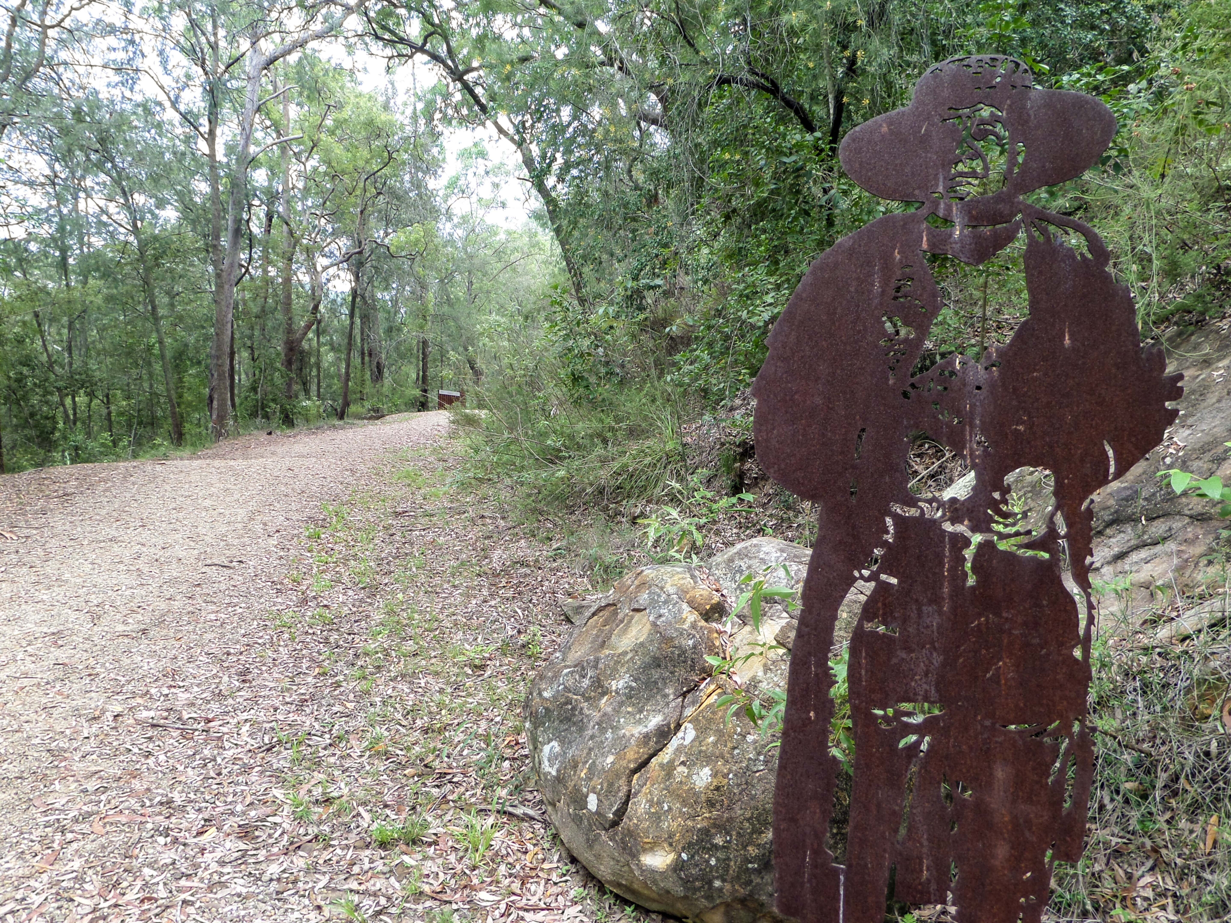
Shadowy figures emerge from the bush to accompany walkers along a section of the first road northwards from Sydney.
This Great North Road is soaked in the blood, sweat and tears of the convict road builders and the spirits of the past are strongly felt here. Visitors in years past used their imagination to conjure up the phantoms of the road but now those phantoms are real, and they speak to us.
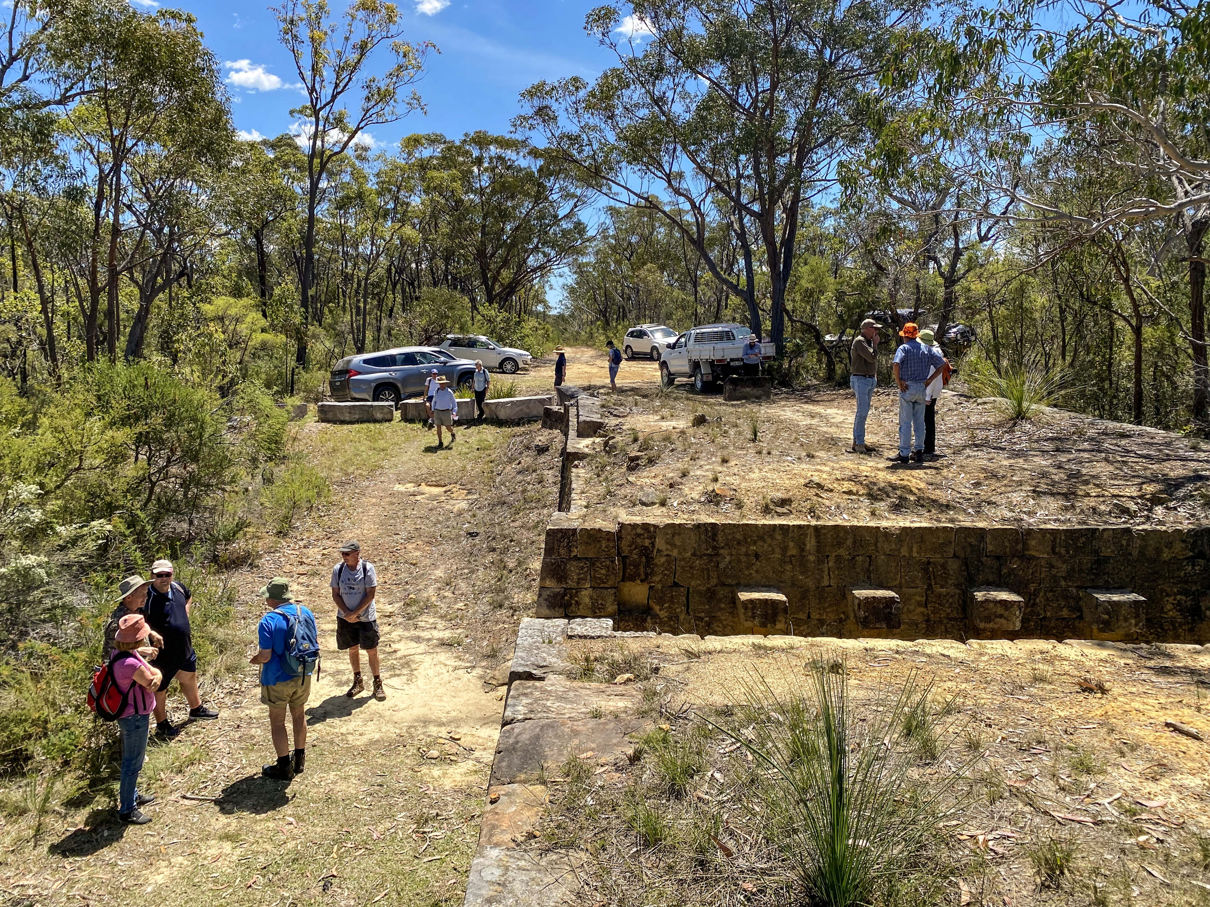
Exploring on foot
The walk up along the Heritage listed convict built, Great North Road on the northern bank of the Hawkesbury River at Wisemans Ferry, NSW has always been a popular family trek.
The convict engineering works on Devines Hill attract our admiration and wonder. Now, the National Parks and Wildlife Service has enhanced our experience with the inclusion of metal cutouts and sculptures which appear at regular intervals and speak to us by way of signboards.
The Great North Road from Sydney to the Hunter Valley was constructed with convict labour in the early 1830s. This section at Wisemans Ferry makes an excellent circular walk by ascending Devines Hill and descending via Finch’s Line with a 2km road walk back to the start.
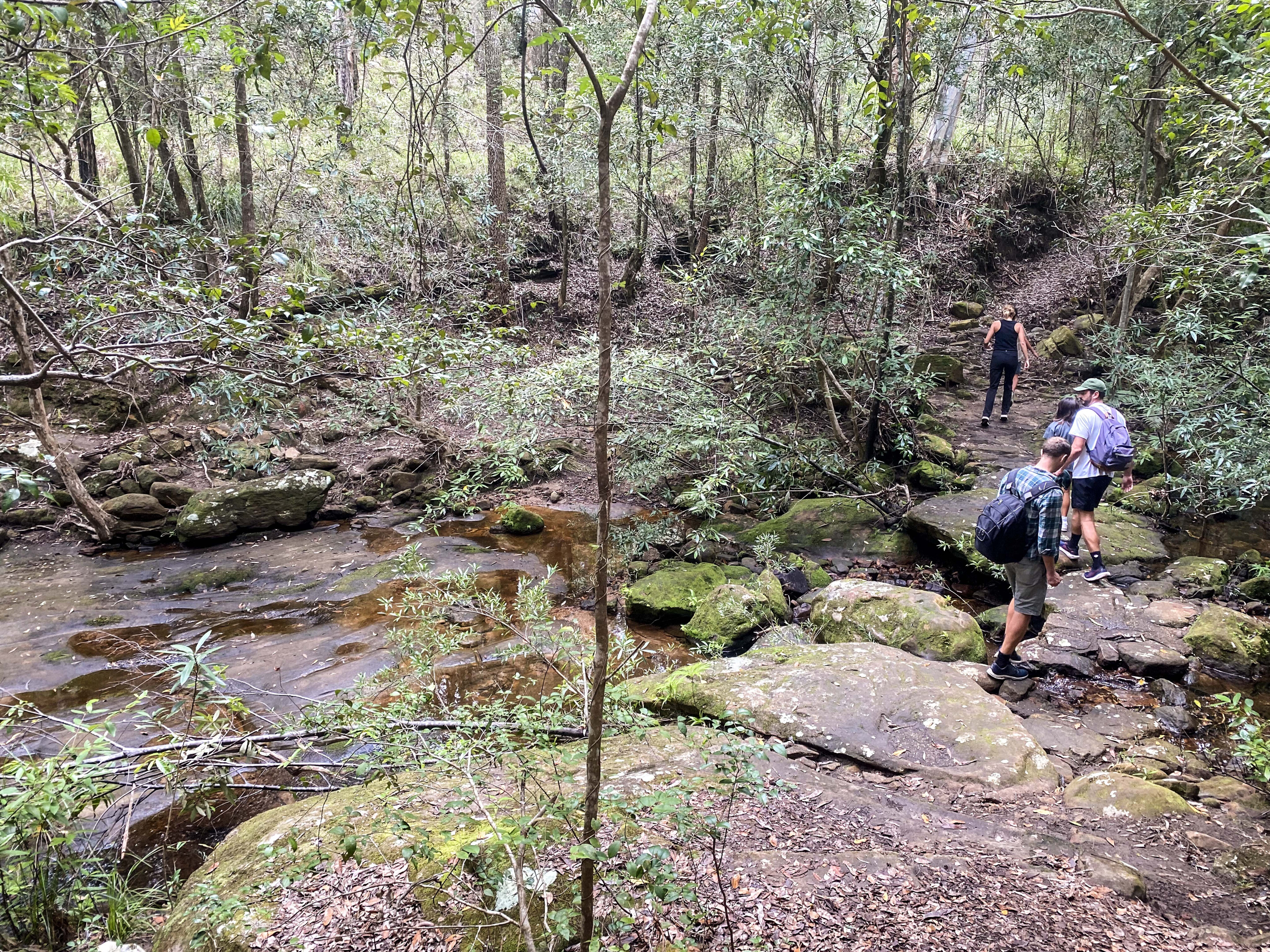
If the whole day circuit is not to your liking, it is possible to sample the bottom of Finch’s Line and then drive along to Devines Hill.
The small Finch’s Line roadside carpark, downstream from the ferry, has a metal entry sign. Not very far up the track you come to the first phantom figure which seems to emerge from a large mossy sandstone boulder.
This Dharug man offers us a welcome with ‘warami wellamabami’. He relates to us how his people had marked tracks and routes all over this country and how aboriginal families guided Surveyor General Thomas Mitchell on a route to survey his great road.
A little way on we meet Heneage Finch beside the track. He tips his hat to us and explains that as Assistant Surveyor, he built the first road up the escarpment.
When Governor Darling visited in 1829, he was not impressed and ordered Mitchell to find a better route. Finch was replaced and Mitchell surveyed his ‘better road’ up Devines Hill.
Today’s walkers can continue up Finch’s Line or return to the cars and drive to the upstream carpark from the ferry to the start of the Devines Hill walk.
Extensive modern roadworks are taking place between the ferry and the start of the walk at Devines Hill and delays could be encountered. Recent landslips took out this section of road as well as the convict built retaining walls and the historic Thomas James Bridge.
This bridge was the oldest still in use on the Australian mainland. It was begun in 1830 by the 25th Road Party under convict overseer Thomas James.
Reconstruction work began in early 2023 and included photographing and labelling each of the huge bridge and wall stone blocks and removing them for later reassembly as a façade in front of new concrete walls and foundations.
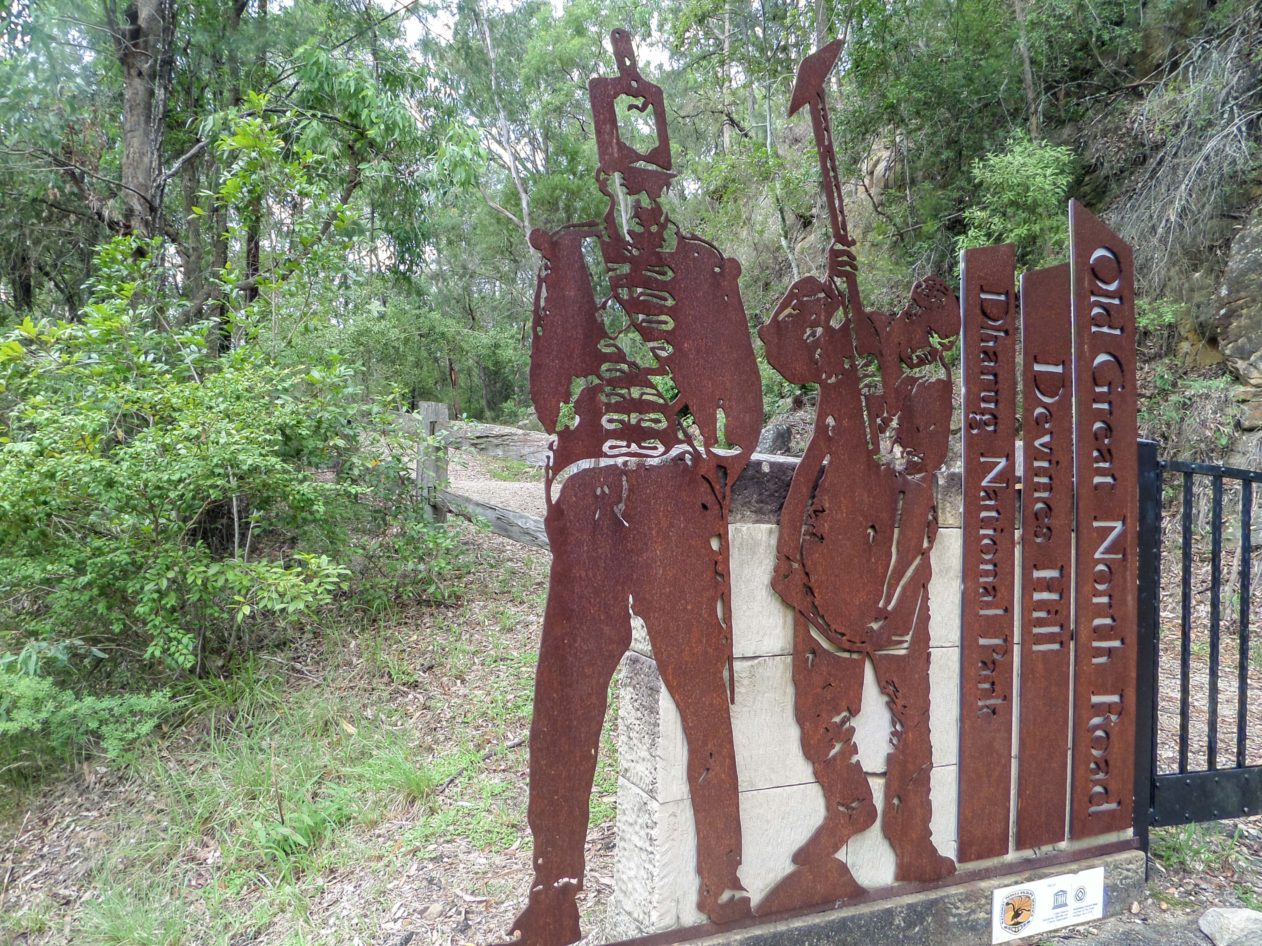
At the start of the walk, a menacing soldier and a sweating convict meet you at the gate. Just beyond the gate another Dharug man welcomes us to his country.
Soon after, Surveyor-General Major Mitchell himself appears from the bush at the edge of the road and tells us of his road-building skills. This section of road is still a marvel of design, construction and drainage systems and is recognised as a National Engineering Landmark.
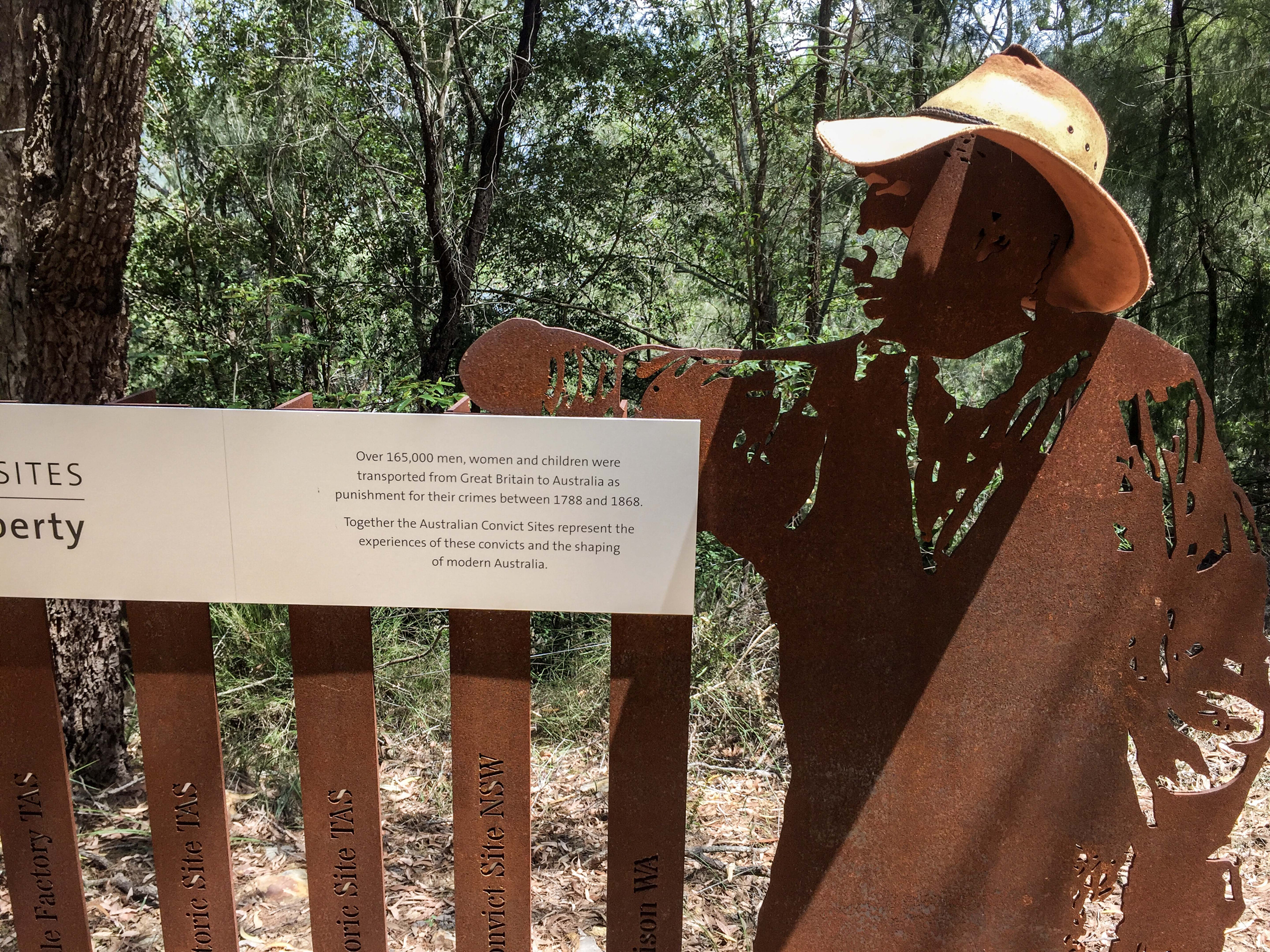
A convict soon appears to explain that this road joins other locations as World Heritage Australian Convict Sites representing 165,000 men, women and children who were sent to the colonies as convicts.
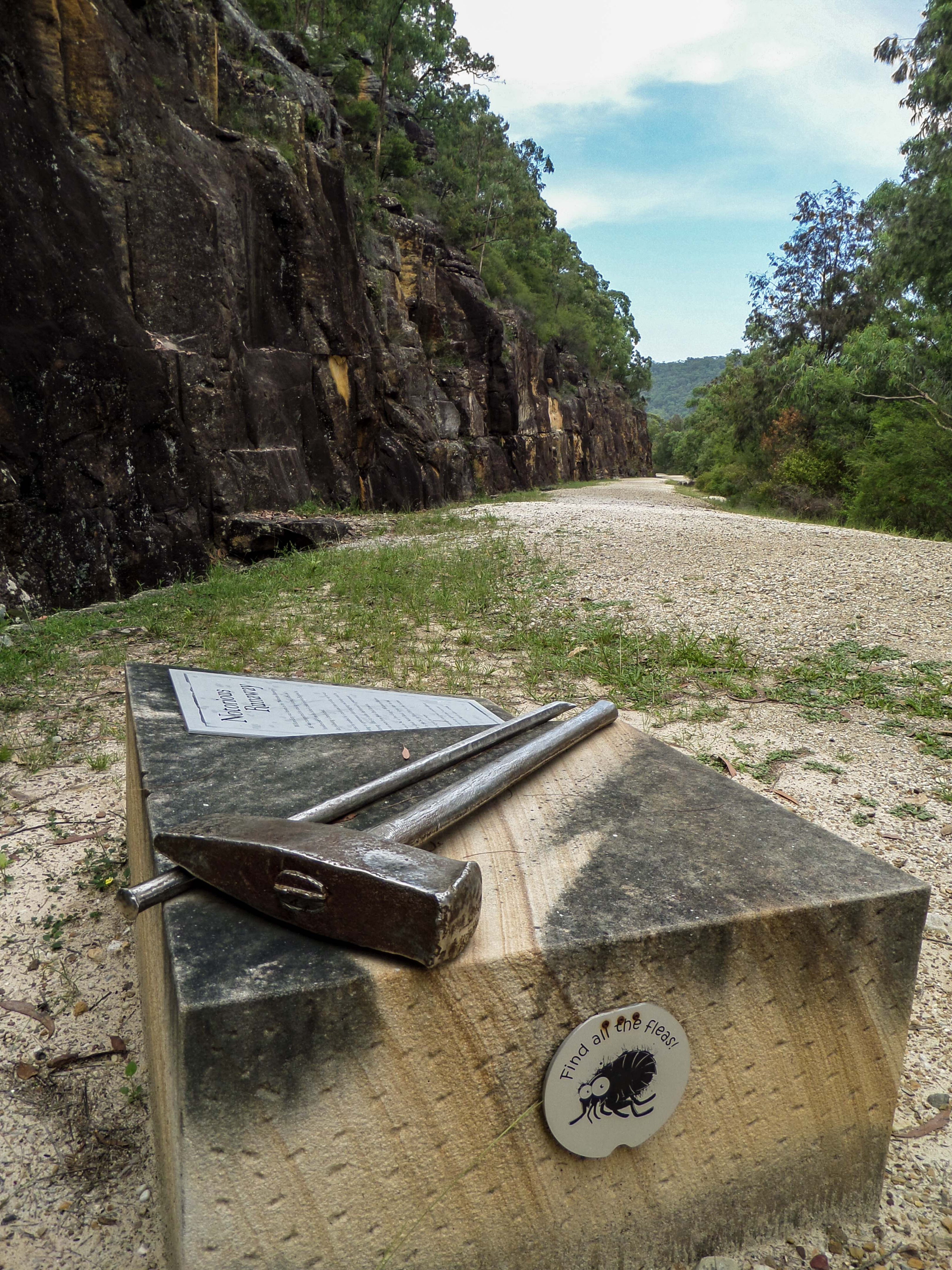
Two of those convicts were Owen and Mary Devine who eventually came to own the land where the road ascends the ridge. A sign here explains their story. This sign marks the first of the metal sculptures sitting on sandstone blocks. Metal leg-irons here can actually be worn.
Children will love this walk for the phantoms and the sculptures. An added bonus are the ‘flea doors’ that are attached to the blocks. Children can open them to find interesting and gross facts. Other metal sculptures along the way include a poignant boot, tools, cat-o-nine tails and clothing.
The quarry site above the road has always been one of the fascinating aspects of the walk but was often overlooked by visitors.
Now two convicts work with hammer and bar on the rocky ledge above our heads. When the summer heat is reflecting off those sandstone walls, we can almost see the sweat dripping from their tired bodies.
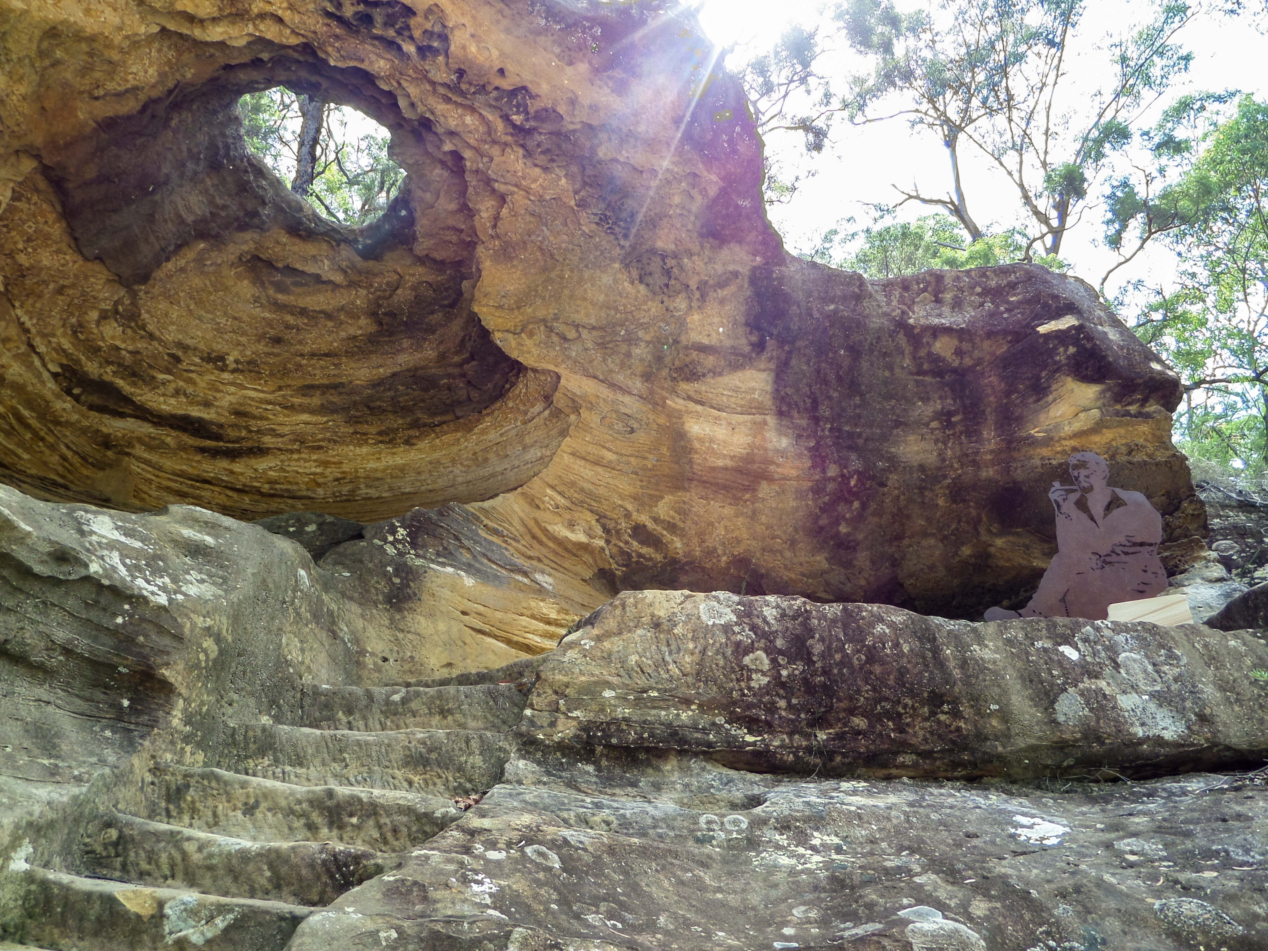
Around the bend is the ‘Hangman’s Cave’. The cave has a convenient hole in the top but was certainly not used for executions. Steps and a bench have been cut out of the sandstone here, possibly for storage or as an overseer’s observation post. We may never know what the cave was used for but look; there is an overseer sitting up there now smoking his long clay pipe.
Around the next bend we meet an Aboriginal mother, with her baby on her shoulders, and soon after, a side track to the right heads into the old convict stockade or campsite. A soldier stands guard here amidst stone ruins and information signs.
The top of the ridge is not far off where the return descent can be made or continue to the right-hand turn which will take you out and down Finch’s Line, which takes the best part of a day.
From the top of the ridge, it is possible to walk the rest of the non-trafficable length of The Great North Road. This is a two-to-three day trek with a camping area at Ten Mile Hollow and bush campsites at Frog Hollow and Hungry Flat. Water can be scarce in dry times.
There are numerous examples of convict stonework along the way for the observant walker. Ten Mile Hollow and adjacent Clare’s Bridge are particularly noteworthy. This entire section of the convict road is no longer available to traffic.
Vehicle access and camping
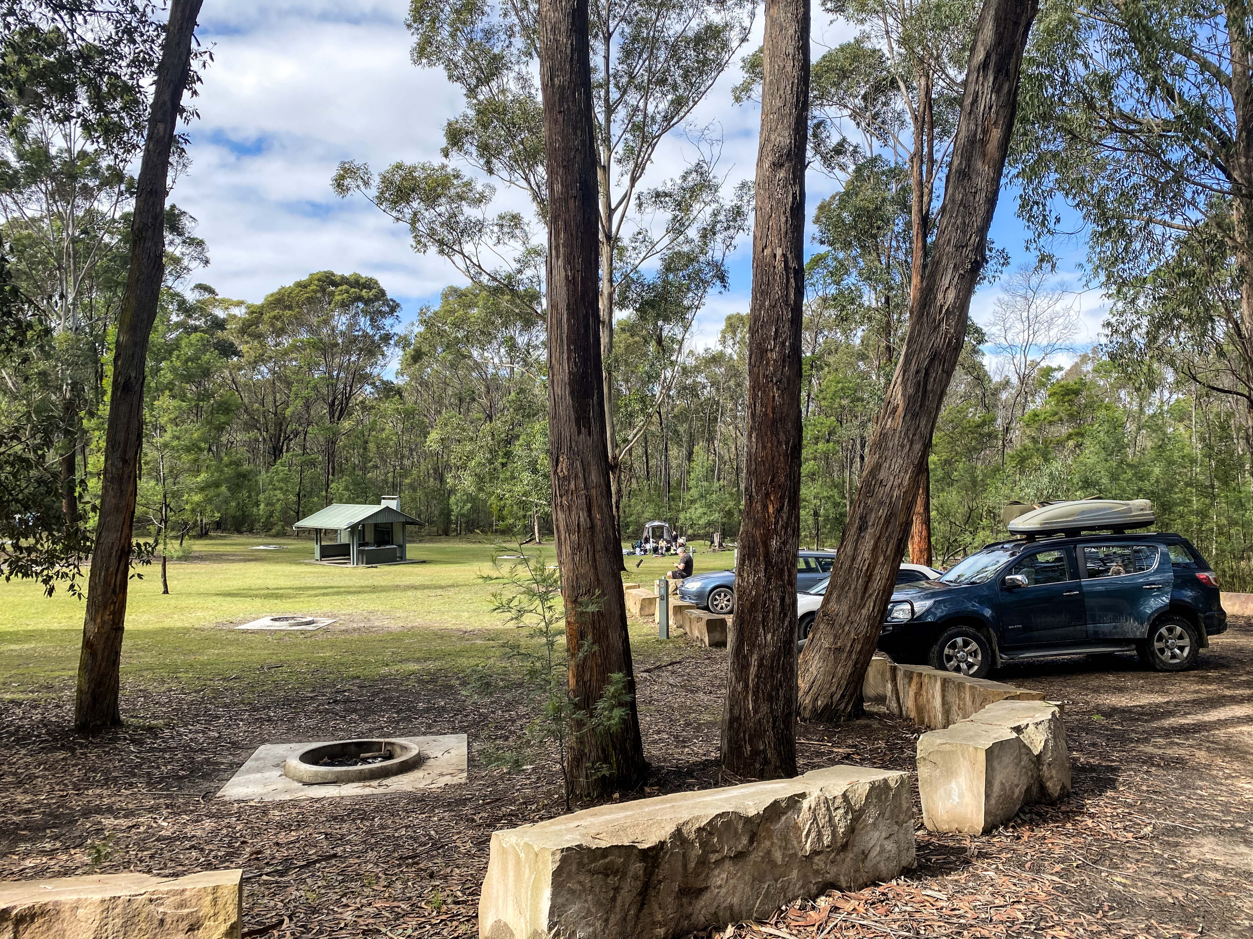
Vehicle camping is available in Dharug National Park at Mill Creek, downstream from the ferry at Gunderman. Bookings are essential and there is a camping fee. Contact National Parks NSW [↗️] or 1300 072 757.
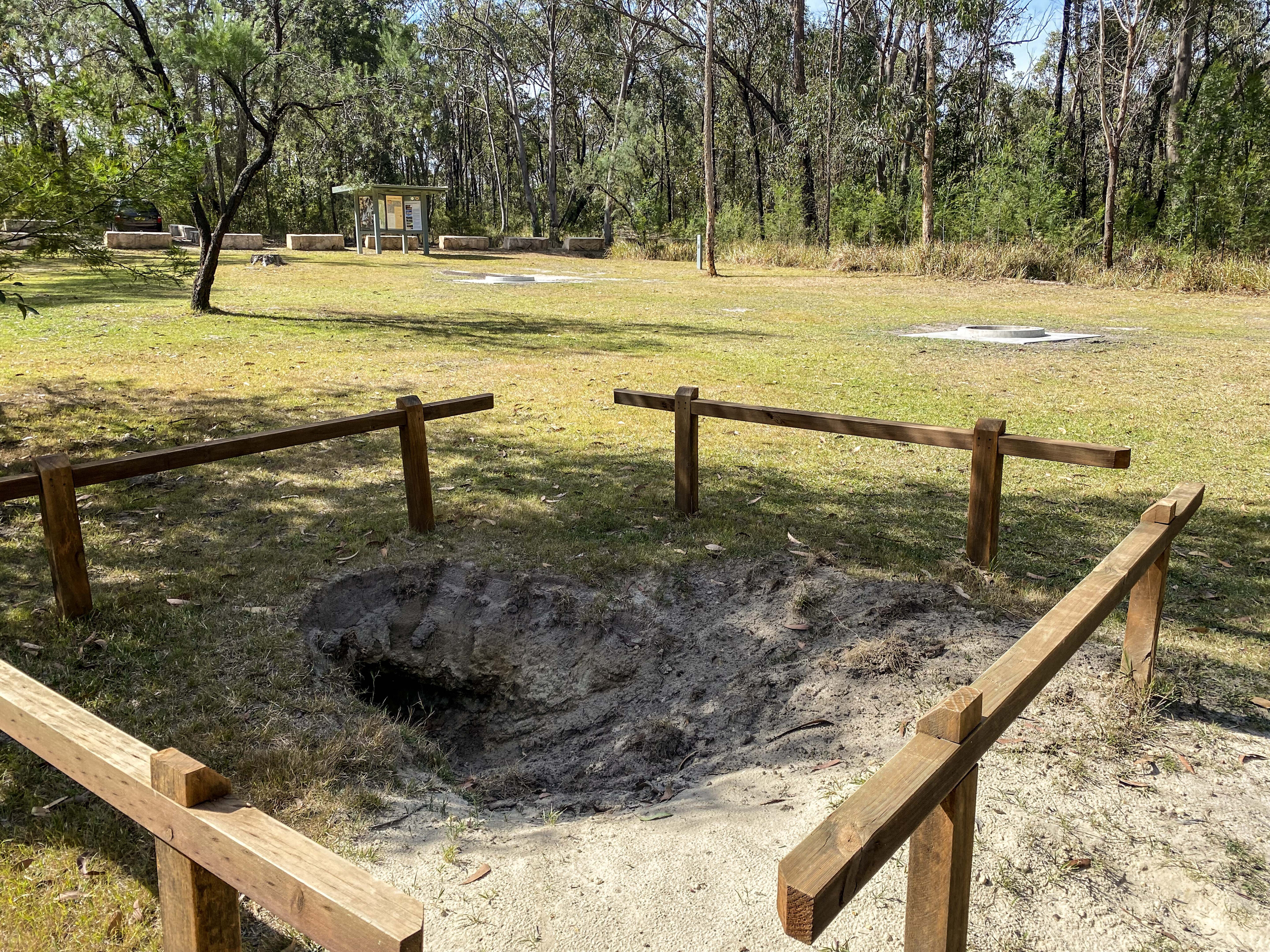
The camping area and the separate picnic area have composting toilets, picnic shelters, firepits; bring your own wood and drinking water. There are also long and short walking tracks with splashing holes in the creek for warm weather.
Campsites 1-8 have no carpark barriers and are best for vans and trailers. Sites 9-20 are close to the carpark barriers but not suitable for turning vans or trailers. Sites 21-30 are a very short walk from the carpark barriers. There is also a separate large group camping area. While in the Gunderman area, call at the Wombat Café for a six-pack of fresh mega-scones!

Vehicles can travel from Wisemans Ferry to reconnect with the old road along the Settlers Road and St Albans Road to near Mogo Camping Area.
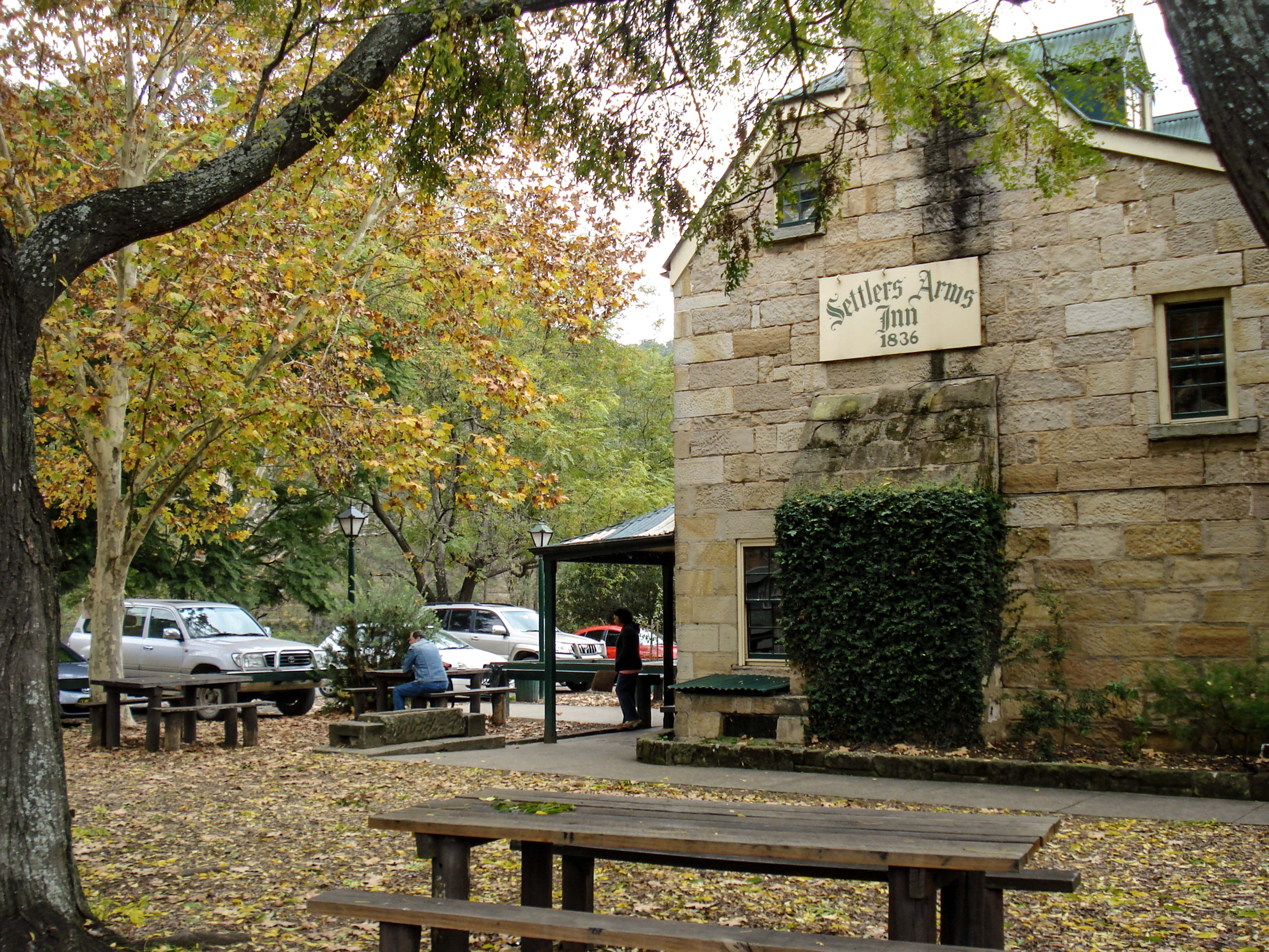
The historic village of St Albans has a free camping area opposite the Settlers Arms Inn above the Macdonald River. The camping area has picnic shelters, playground and flush toilets but no drinking water. The 1836 Inn is licensed and provides meals and accommodation. There is also a café nearby.
The old convict road emerges from the bush in the north near the Mogo Camping Area. Here is another wonderful daywalk, to inspect the Circuit Flat Bridge. No phantoms here though, but you might discover near the bridge, the roadside carving of naked ‘Collier out for a Dip.’ The walking track can be followed from the camping area, or the walk can be southward along the old road.
The walk is 5.5km and takes 1-2 hours return. This short section is drivable in dry weather but is more suitable for 4x4 vehicles. It is very rough and bush pinstripes are probable. The barrier at the bridge is as far as vehicles can travel southwards.
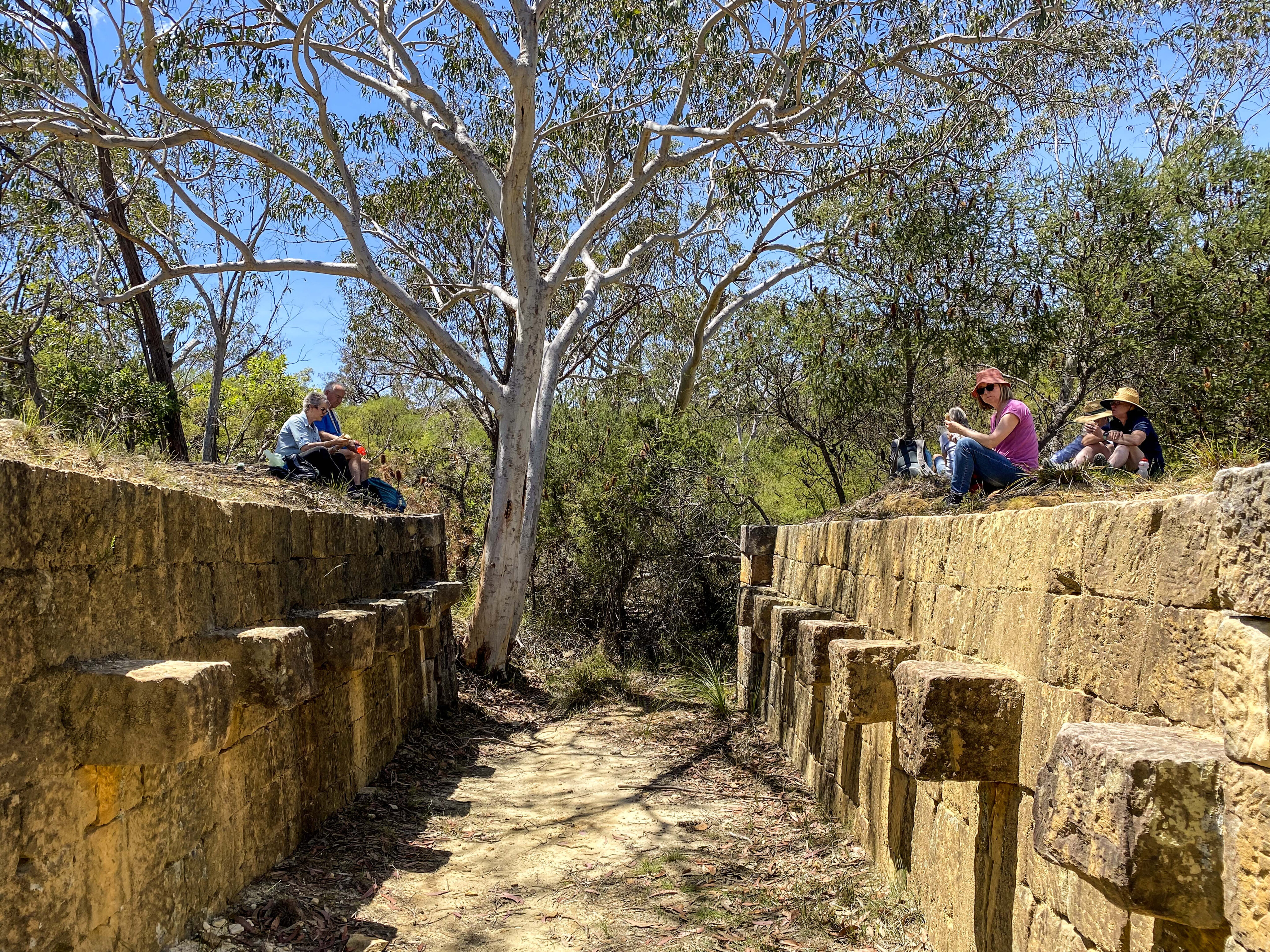
The walk to the bridge is flat and sandy, and wildflowers are a feature. The bridge has long stone abutments, but the wooden deck is now gone. The bridge was built by convicts in 1831 and is Australia’s fourth oldest bridge. The interesting features are the sandstone blocks that protrude from each face of the wall. These once supported the wooden struts that supported the deck.
If time allows, the road can be followed southward on foot, towards Sampsons Pass, taking note of stone carvings, gutters and walls along the way.
Back on the St Albans (Mogo Creek) Road, basic vehicle-camping facilities are available at Mogo Creek in the Yengo National Park.
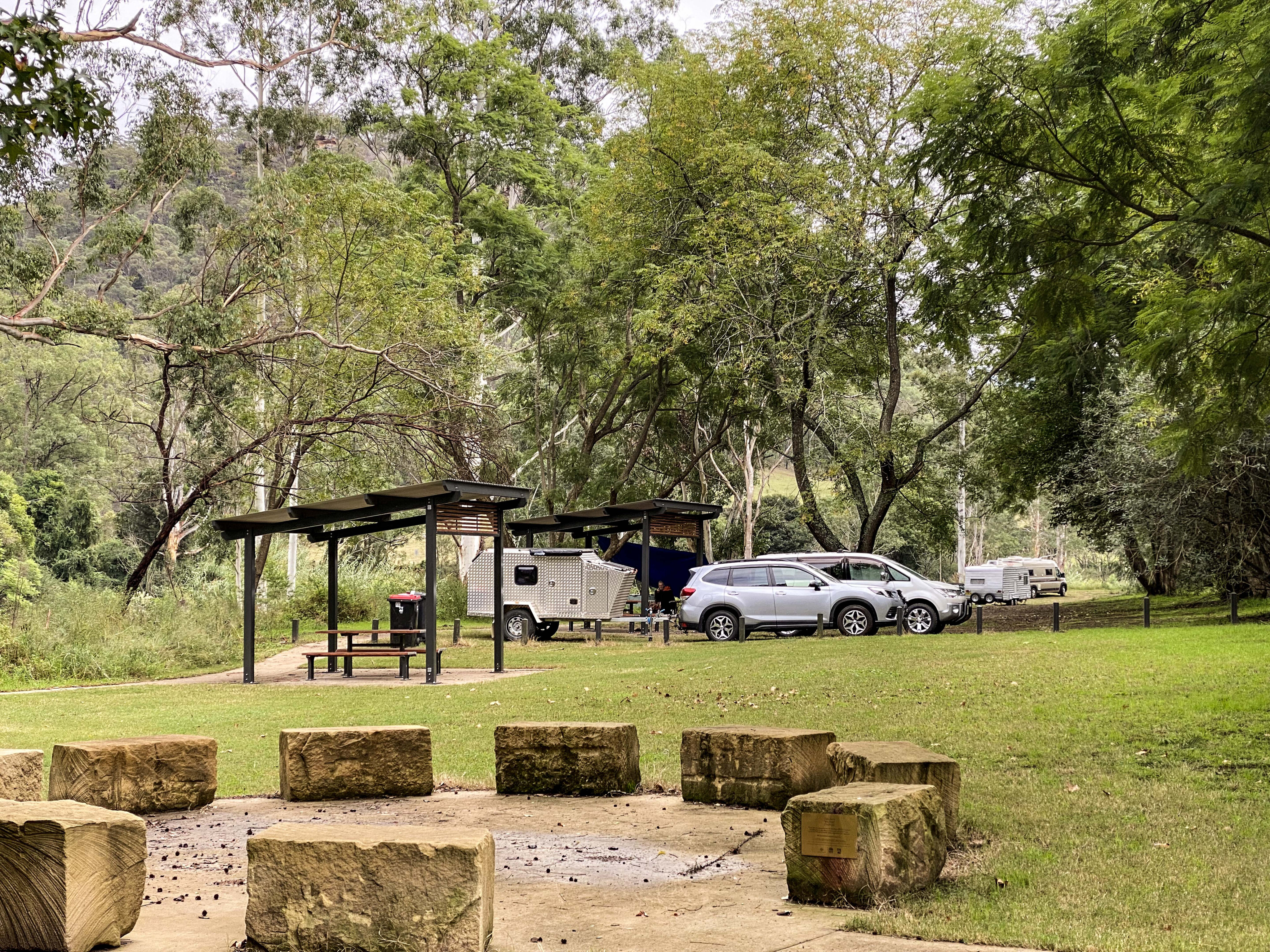
Ten grassy camping sites are located in a circle beyond a barrier fence from the carparks. Sites 1-2-3-10 are closest to the car park barriers, while the other sites involve a very short walk. In spring, the wattles are magnificent.
There are wood firepits – (bring your own wood), camp kitchen shelter, picnic shelter with tables, information boards, non-flush toilets and a water tank (bring your own drinking water). Bookings are online and there is a camping fee.
Contact National Parks NSW [↗️] or 1300 072 757. From the camping area the road can be driven a short distance to the Bucketty Historic Precinct then on to Singleton or Maitland via the historic village of Wollombi.
For vehicle touring along the Great North Road see the free Cartoscope Map which is available in the area.
The Great North Road: Top 5
- Put you rig on the Wiseman’s Ferry for the five-minute crossing of the Hawkesbury River
- Check out the historic Thomas James Bridge that was built from as early as 1830
- Learn about Surveyor-General Major Mitchell and his road-building skills
- Your kids will love the phantoms and the sculptures along the Great North Road walk
- Enjoy a beer and a feed at the Settlers Arms Inn above the Macdonald River

COMMENTS