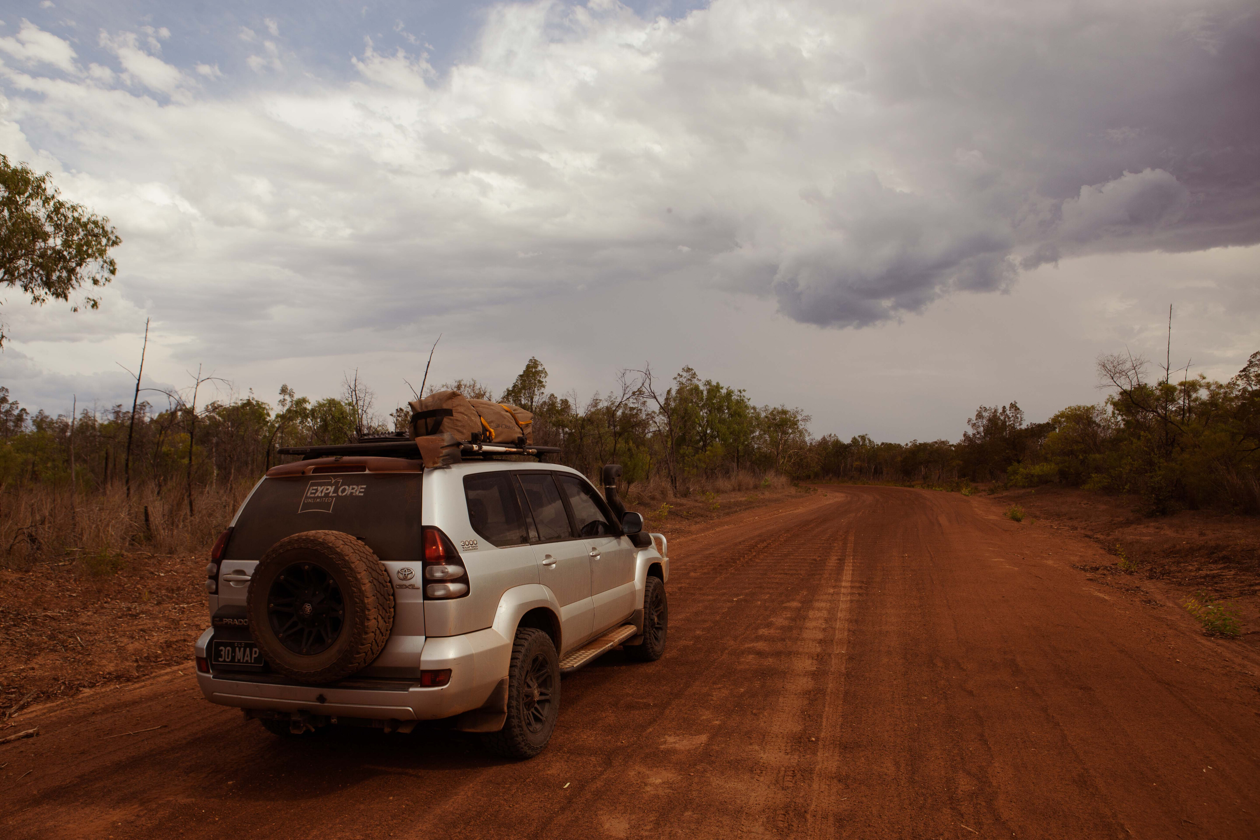
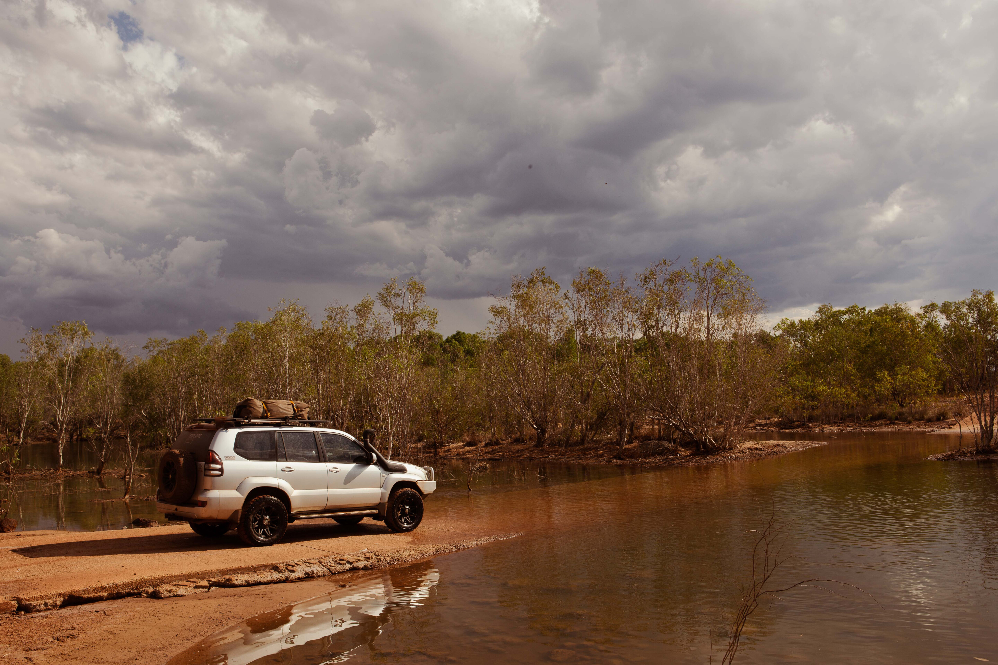
The distant thunder rolled on as I found a flat site high on the southern bank of the Roper River; the bush campsite within earshot of the fresh rainwater, now gently flooding the old causeway.
Overland explorers have been crossing the river at this natural rock bar for nearly 180 years, most famously Ludwig Leichhardt in 1845 (Roper was one of Leichhardt’s crew) on his epic journey from Brisbane to Port Essington, and Augustus Gregory a decade later in 1856, from Victoria River to Brisbane.
By morning, the gentle rain had cooled the late dry season temperature, and the morning air was calm and heavy. Freshwater crocs combed the causeway for their morning meal.
The nearby Yurlhbunji Bridge (opened in February 2018) now virtually flood-proofs the new Roper River crossing on the road east to Ngukurr.
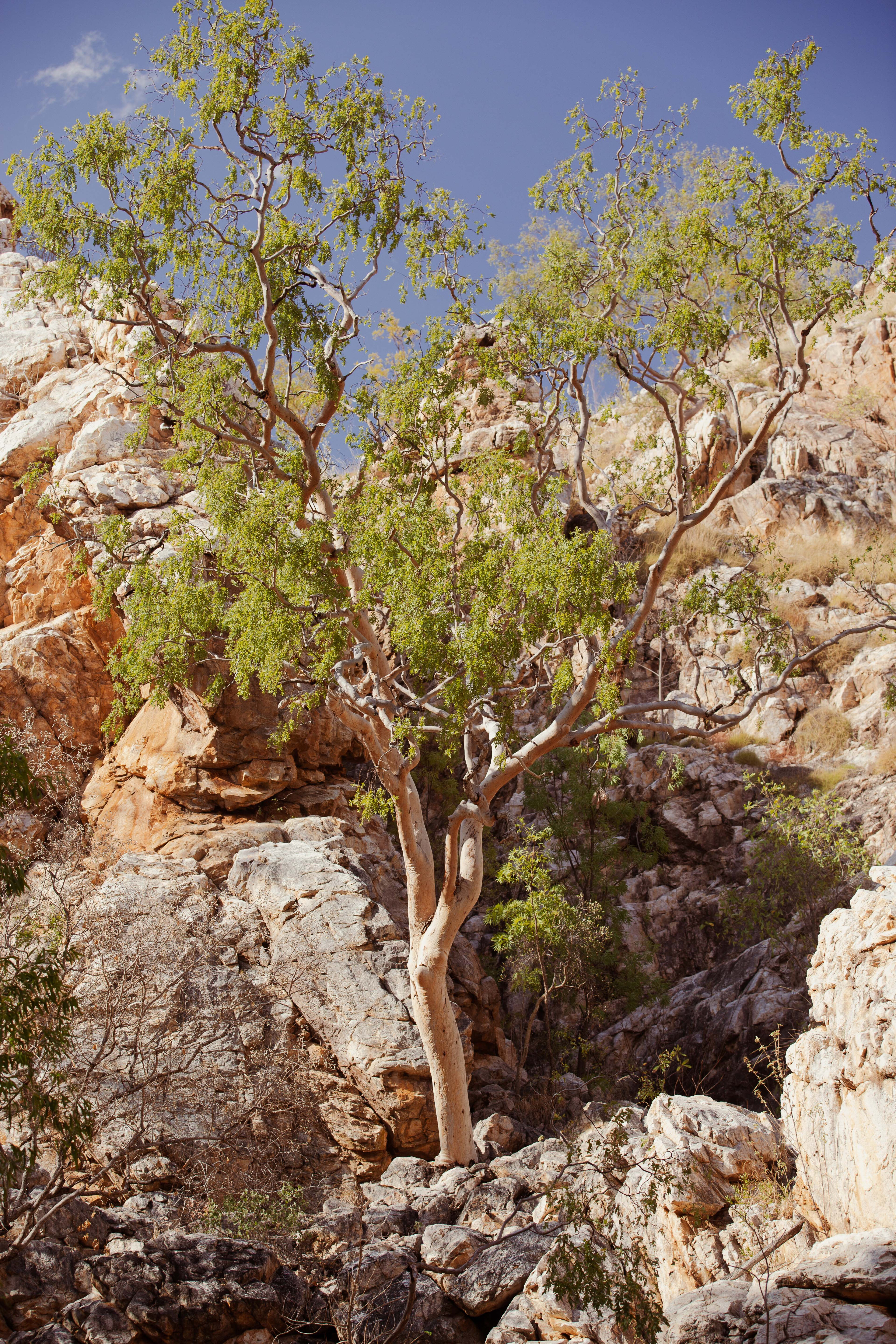
I had stopped by Gregory’s Tree a day earlier and 800km to the west, having just left the Kimberley amidst a two-inch downpour and on my way home to Brisbane. I was on a similar-length journey to Gregory and Leichhardt, but nowhere near as epic.
I came this way for some respite from the blacktop monotony and hoped to catch a fish or two before the pending wet season closed the road.
A few hundred metres up from the crossing and adjacent to Leichhardt’s marker is the old Roper Bar Police Station which operated here in various forms for over 100 years from 1885 to 1990.
Things moved quickly in the early 1870s with the drive to connect this vast country with the construction of an Overland Telegraph Line
The Coast Track, as it was later named, followed sections of the original indigenous trading route parallel to the coast and soon became a significant stock route, and the station played a key role in keeping this trading route secure.
Things moved quickly in the early 1870s with the drive to connect this vast country with the construction of an Overland Telegraph Line, and Port Roper was established to support this effort.
Whilst the project was soon abandoned in favour of the Central Australia and Cape York lines, the trickle of trade soon became a flood. By the end of 1885, drovers had led more than 200,000 cattle from Queensland into the Top End and Kimberley.
Natural protection
Protecting over 9000 sq km of wild river floodplain, estuary and range country, Limmen National Park is in the western Gulf of Carpentaria between Roper Bar and Borroloola.
Nathan River Road is the only access in and out of the park and is subject to seasonal closure during the wet season (November to March). The park is very remote and now that Roper Bar store is closed there is no fuel or supplies available for more than 550km between Mataranka and Cape Crawford.
However Limmen NP is still relatively new, having been gazetted in 2012, and the campgrounds have modern facilities that cater to all types of campers.
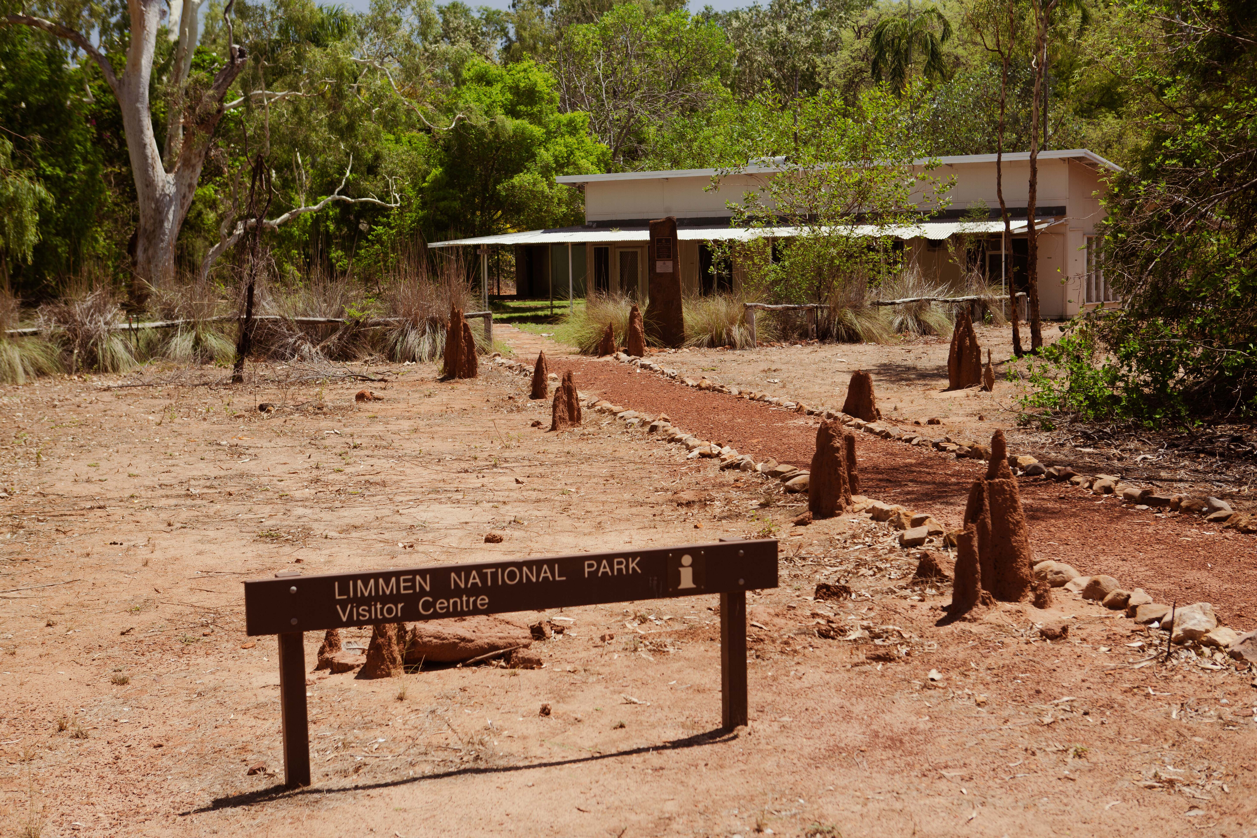
Clear information boards throughout the park detail campground layouts, and natural and cultural history, while the information centre at the Nathan River Ranger station has a comprehensive summary of everything you need or may want to know about the park.
The national park and adjacent marine park are managed with the support of several indigenous owner groups but the region will take decades to recover from the impacts of a century of grazing, recent mining and a host of feral pests.
Sadly, most of the mammals seen in the park are either feral or a legacy of the former cattle stations (or both).
These include wild horses, cattle, water buffalo, pigs, dogs and cats, as well as the smaller but more populous cane toads and European honeybees. At least the bees seem somewhat useful, but the rest in my view should be open to seasonal hunting.
Fishing the wild rivers
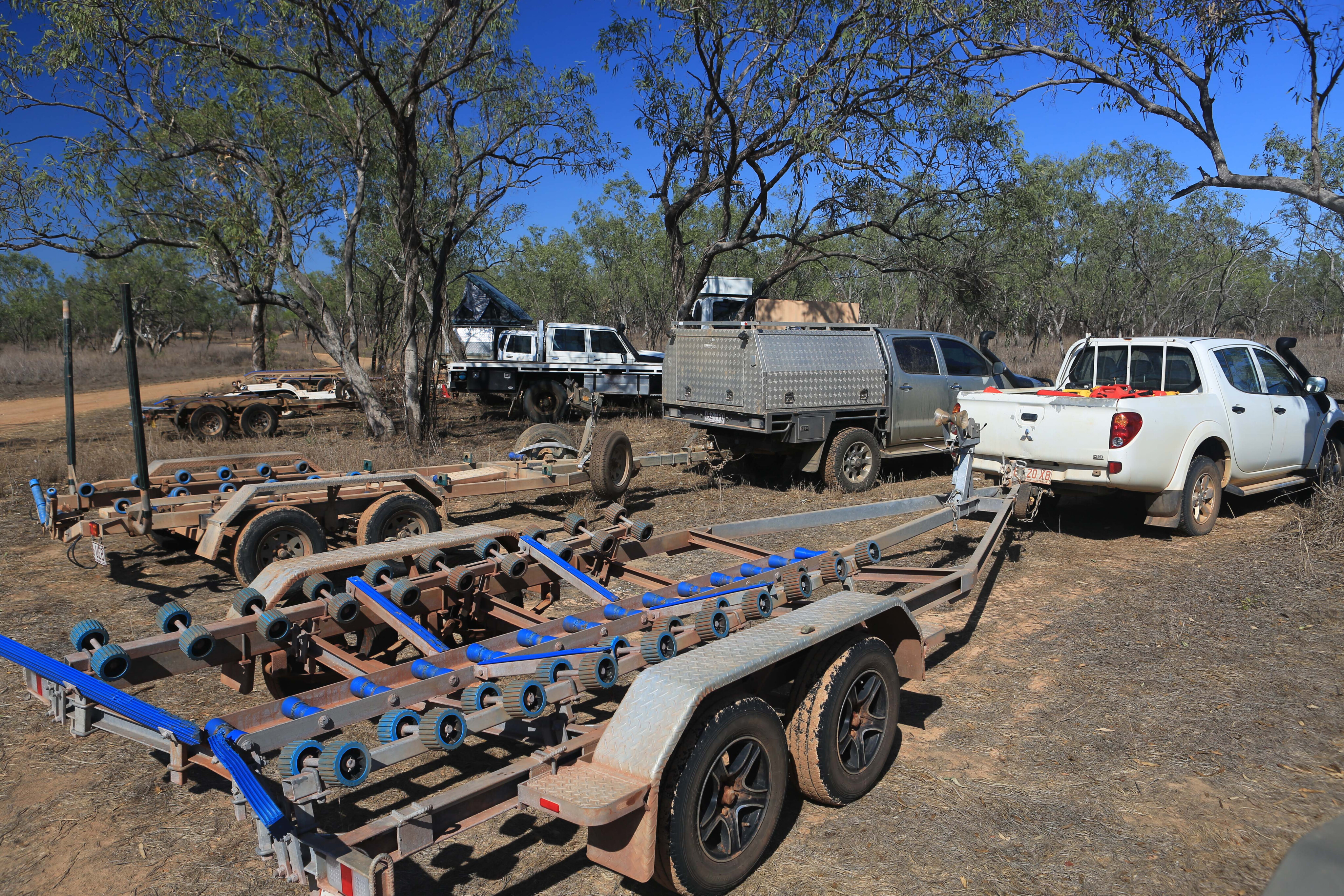
There are hundreds of kilometres of slow-flowing, winding, mangrove-lined and nutrient-rich rivers and estuaries to explore and fish, but you’ll need a boat with a decent trailer that can handle the rough and dusty roads.
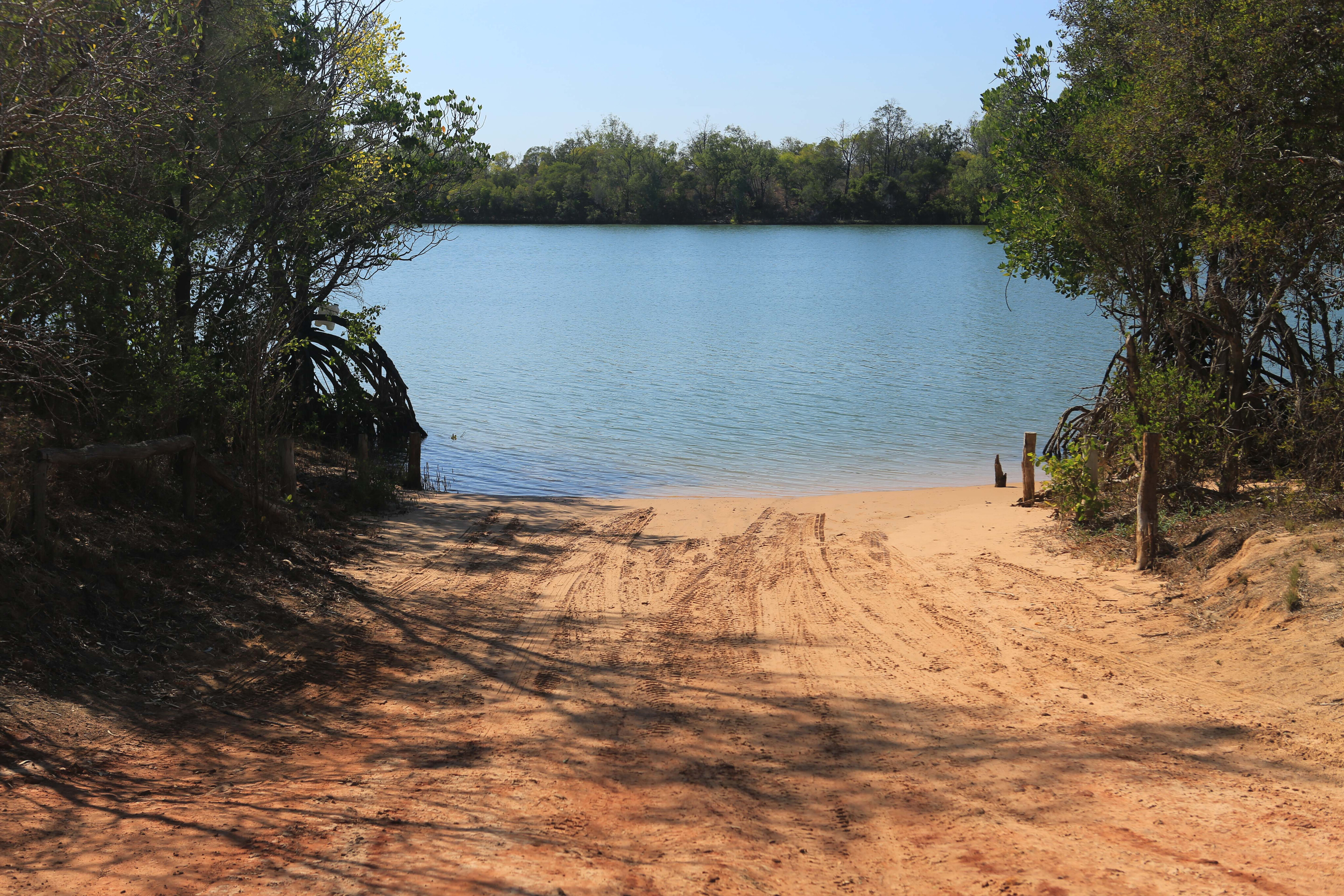
The three main access ramps on the Roper River are at Roper Bar, Munbililla (Tomato Island) campsite and 80km downstream at Port Roper.
Fishing from the banks is both limited and risky with plenty of saltwater crocodiles lurking in the murky shallows. Limmen Bight Fishing Camp provides easy access to the Limmen Bight River with many boats leaving at first light to head down to the open river mouth and beyond.
There are low-cost campsites with basic facilities and you can buy unleaded fuel here.
Again, be mindful of just how remote you are and self-sufficient you’ll need to be. Take plenty of fuel, water, emergency food, as well as offline topo maps, an EPIRB and all the right safety gear. There’s no volunteer coastguard out here to rescue you.
Best campsites
With a boat ramp to the Roper River and green grass throughout the dry season, the pick of the campsites is Munbililla (Tomato Island).
It has a day use area with electric barbecues, drinking water, a large toilet block, boat trailer parking and a wide selection of campsite options including for groups and trailers.
Mountain Creek and Didi Baba camping areas are spacious with large trailer sites, and with only five to seven sites in each are private enough for a multi-night stay.
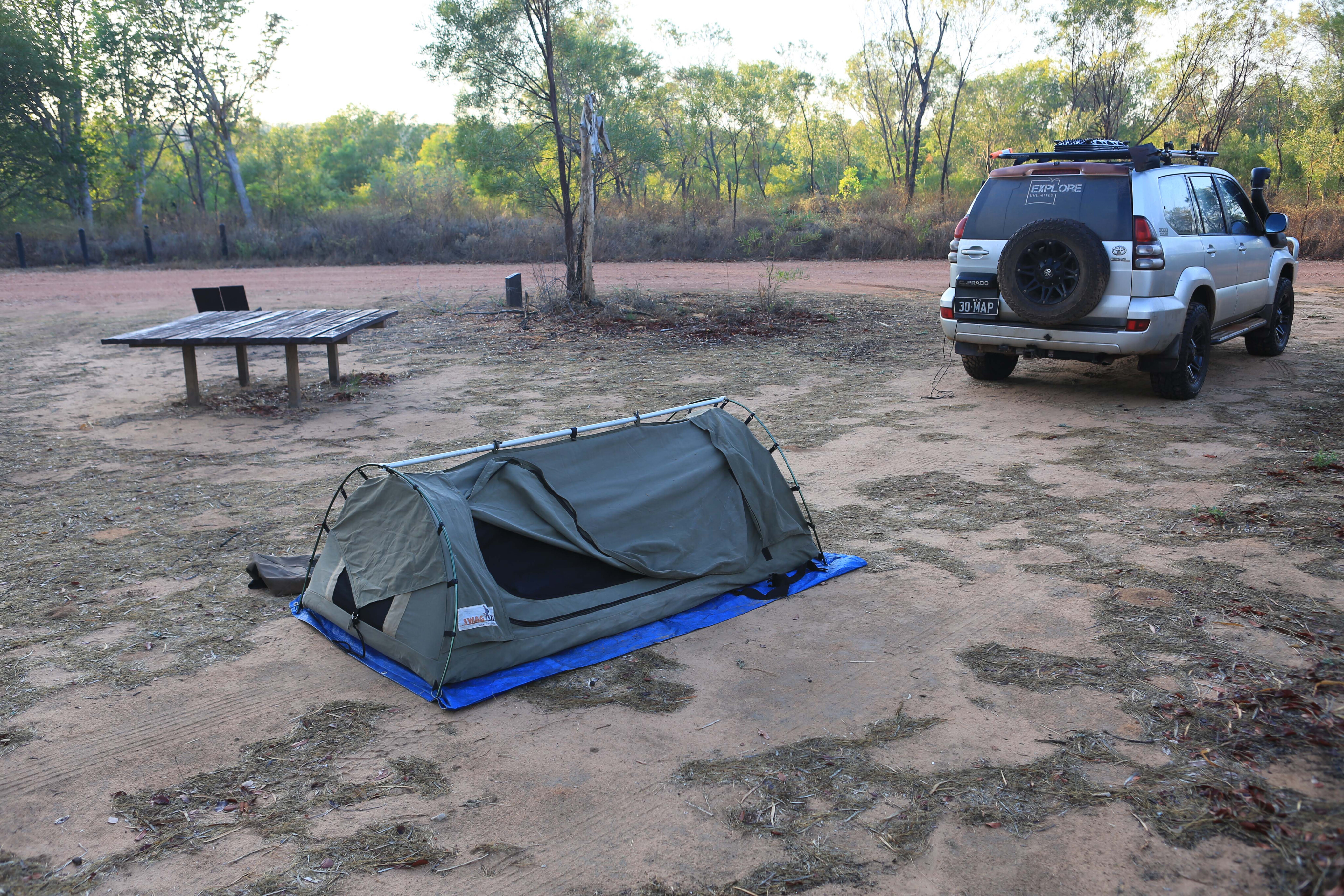
Further south, the Towns River campsite has only four sites, but is just near the boat ramp, so is perfect for vehicles with a rooftop tent and small boat trailer.
Butterfly Falls and Southern Lost City campsites are better suited to a one- to two-night stay for those wanting to enjoy the swimming (April to July) or explore the area.
Campsites are cheap but must be booked online.
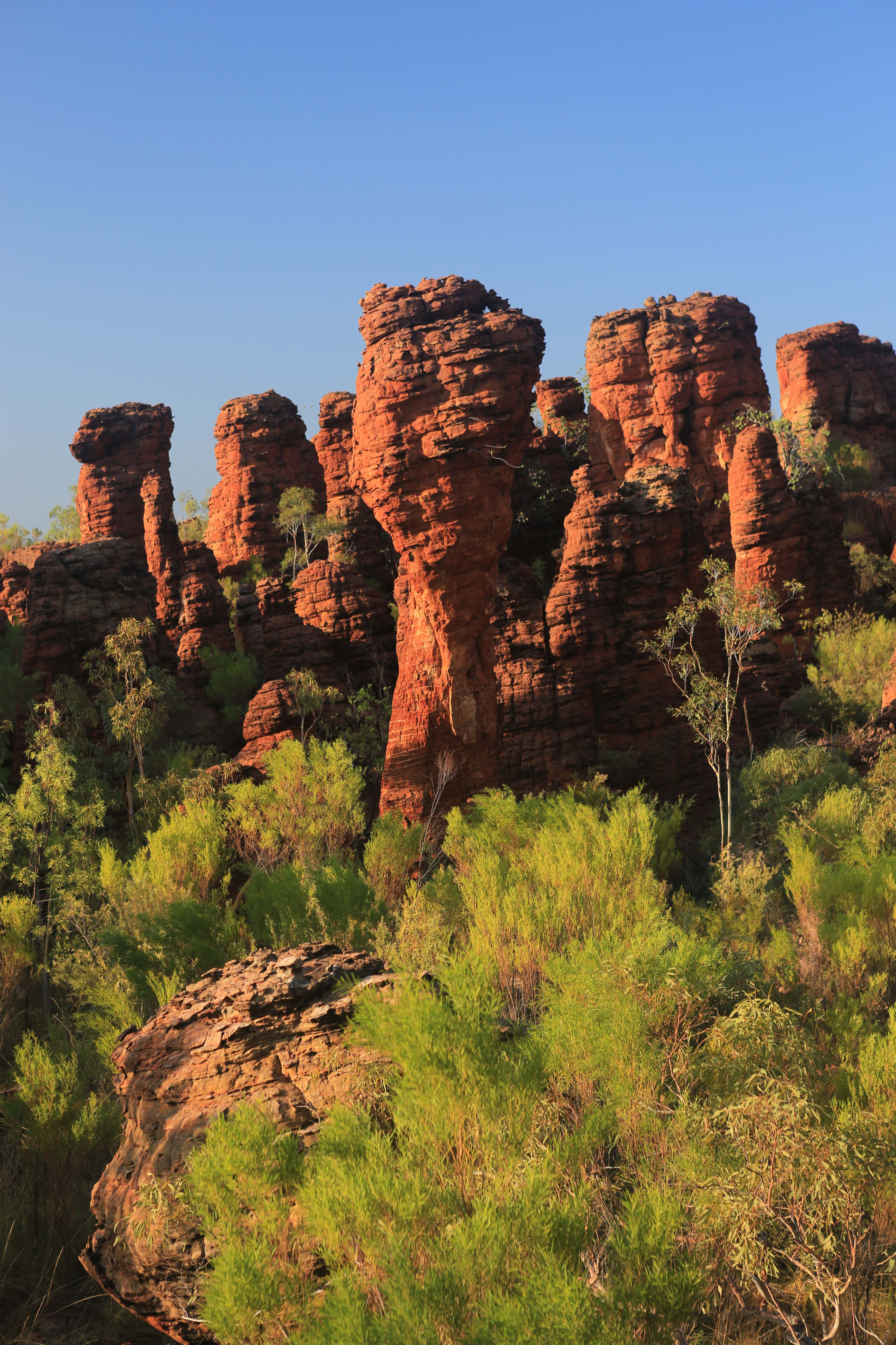
Explore the Lost Cities
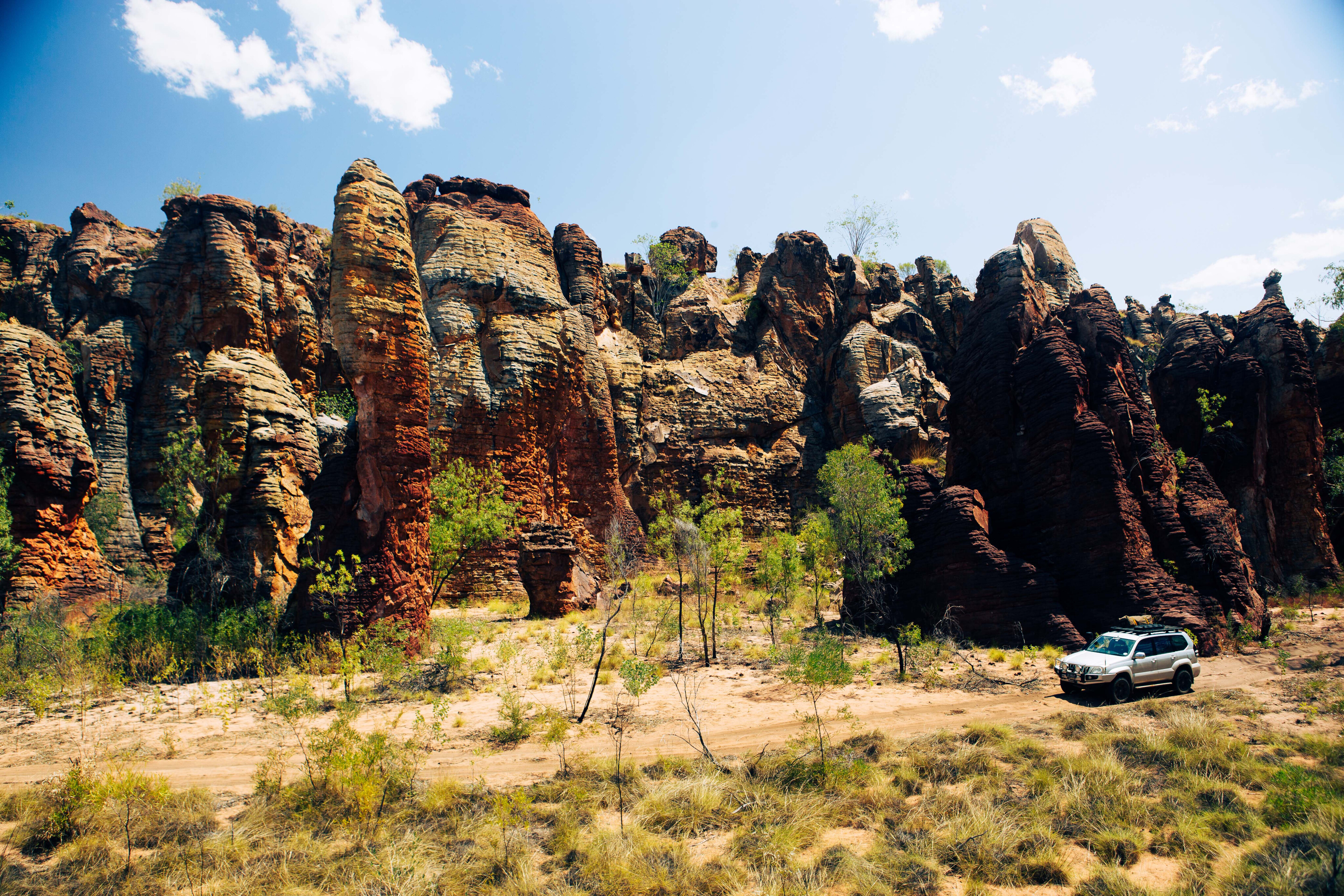
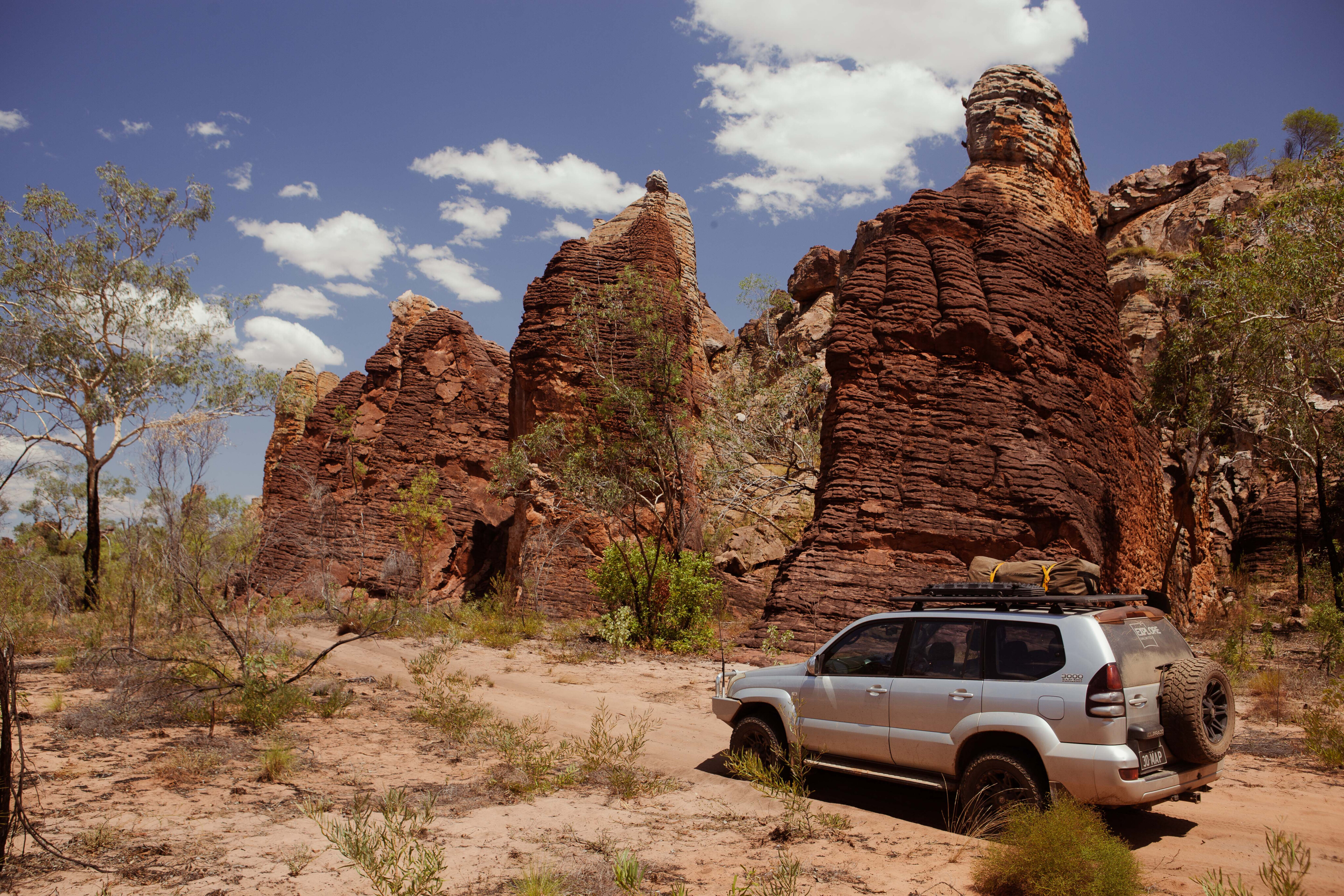
The best 4x4 adventure in the park is the 62km return trip to the Western Lost City.
The narrow bush track wanders through the open forest of the Limmen Bight River floodplain before passing through a narrow gap in a siliceous ridge. Beyond here, there’s a sense of anticipation as the vegetation thickens and you eagerly search for the Lost City through the trees.
Then suddenly, the towering blood-stained sentinels arrest your progress. “Halt! Who goes there?” you hear them call as you search for more stone-armoured warriors in the shadows of this ancient fortress. Some balance giant boulders aloft, ready to hurl them down with lethal fury.
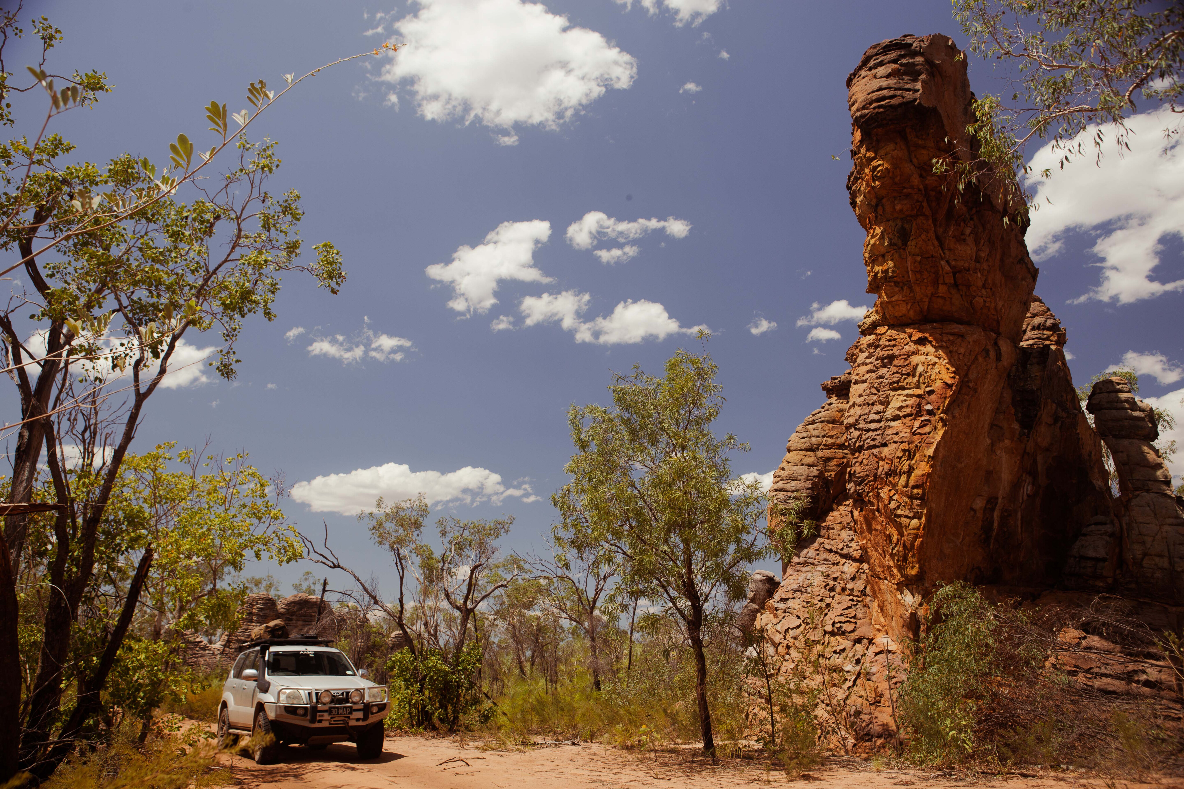
It’s a privilege to drive through this natural sandstone city, the trail ending at a magnificent arch, which stands as the doorway to an inner sanctum.
These ‘lost cities’ are sandstone remnants of the Arnhem Land Plateau, found in several places throughout the park and usually trend in a north-south direction.
The narrow track is not overly technical but low range may be needed in some soft sandy sections. Allow four to five hours return, and you’ll need a key code for the gate from the information centre at the Nathan River Ranger Station.
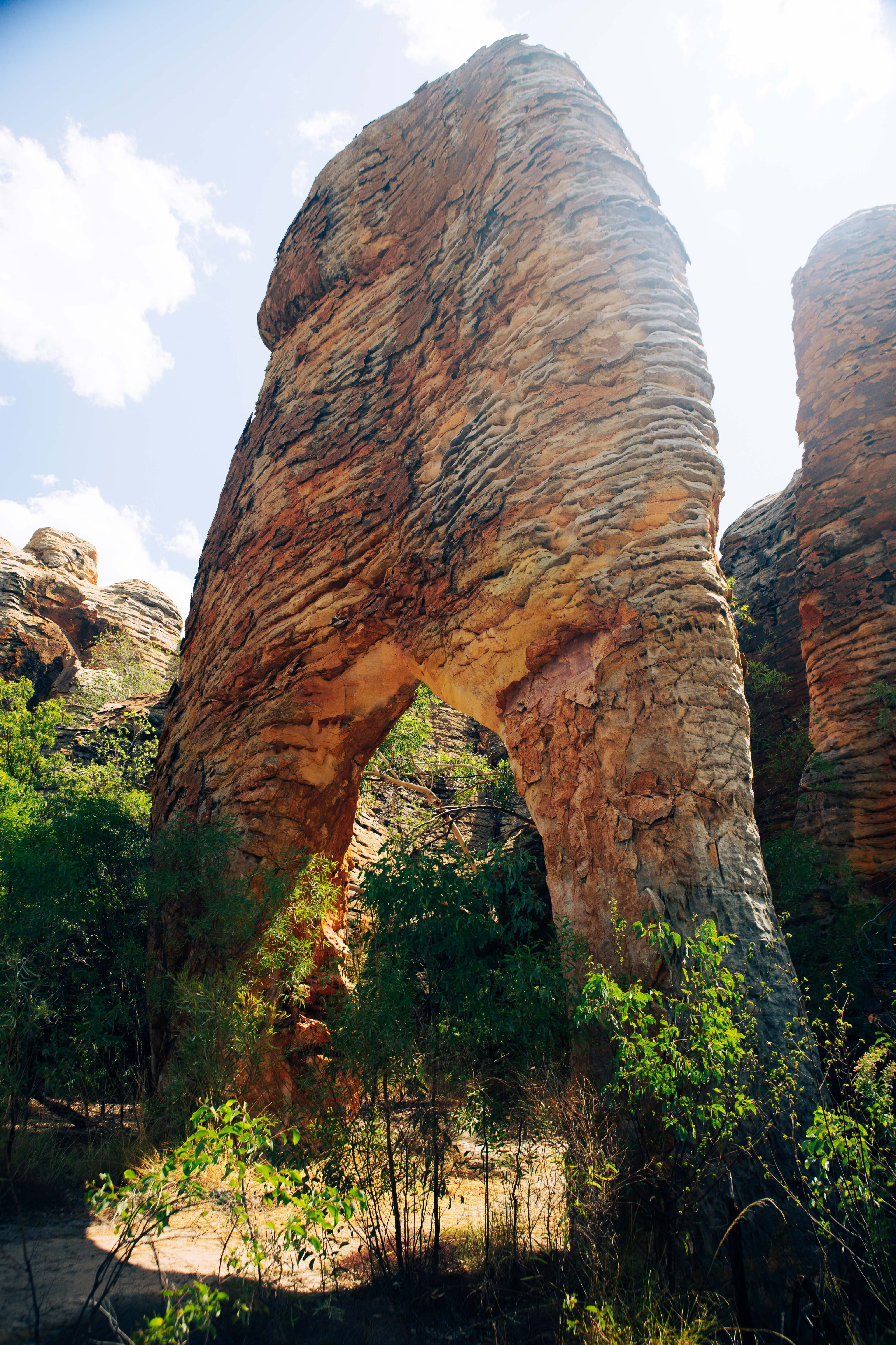
I’d recommend the afternoon for the best light and photography.
Further south a 2.5km meander amongst the towers of the Southern Lost City is a special way to start the day, with a third lost city to the west visible from the outlook, midway.
The walk starts and ends at the adjacent campsite and ducks and weaves its way through the sandstone monuments, guided by blue markers.
Lorella Springs Wilderness Park
With a million acres to explore, it’s a real shame that the spectacular family-owned Lorella Springs wilderness sanctuary has not been open to the general public in 2023, and seems unlikely at this stage to reopen in 2024.
For the time being, it is only open to visitors who are part of pre-booked tour groups.
When open, the homestead at Lorella Springs featured a licensed bush bar and pet-friendly campground set against the backdrop of the Tawallah Range. There are hot showers, heaps of space and shade, plus a natural thermal spring for a refreshing swim.
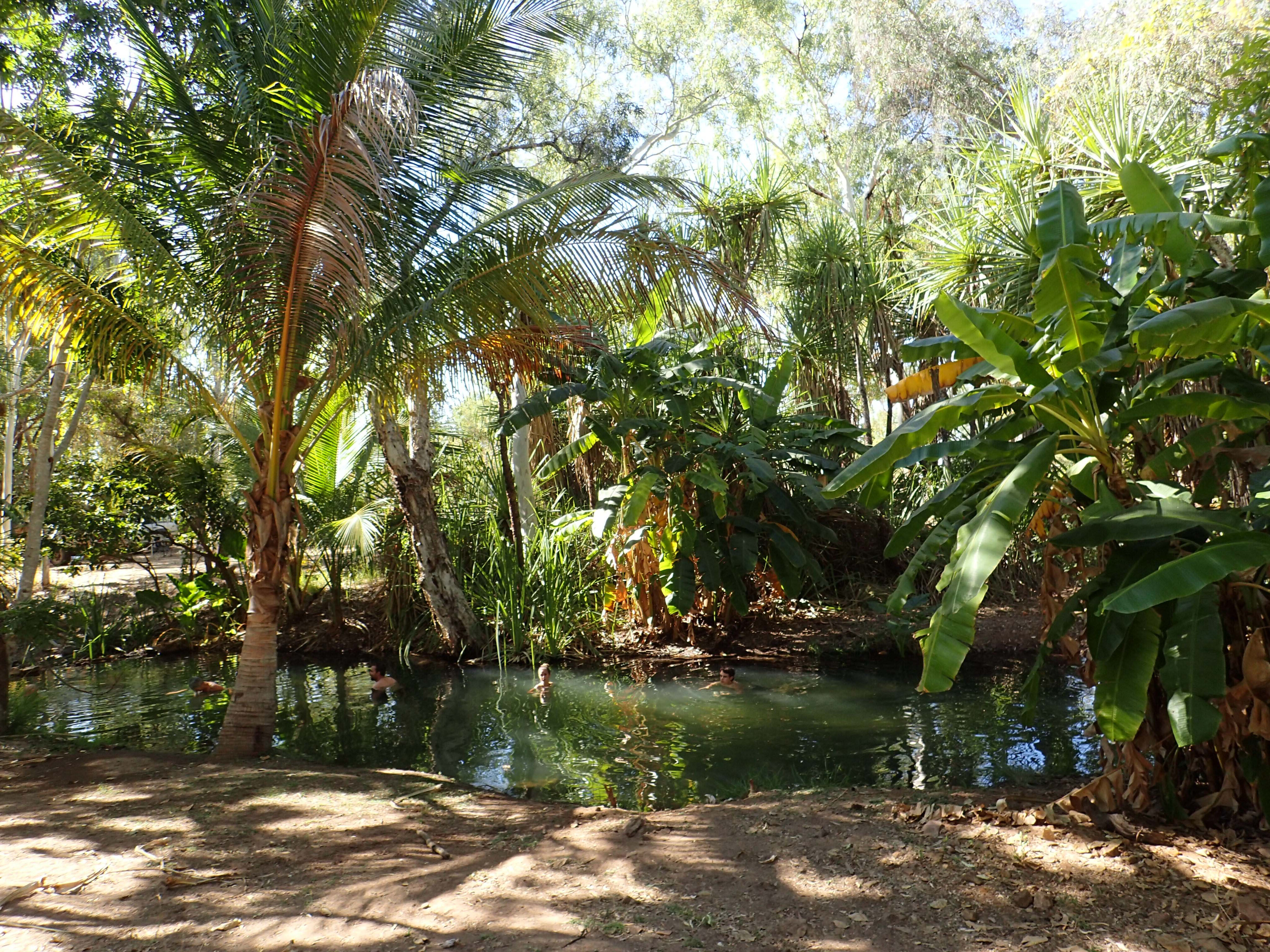
The bush bar is usually a hub of social activities including feeding the freshwater croc, star-lit meals and cold beer. Basic cabin accommodation was also available for those who booked well ahead.
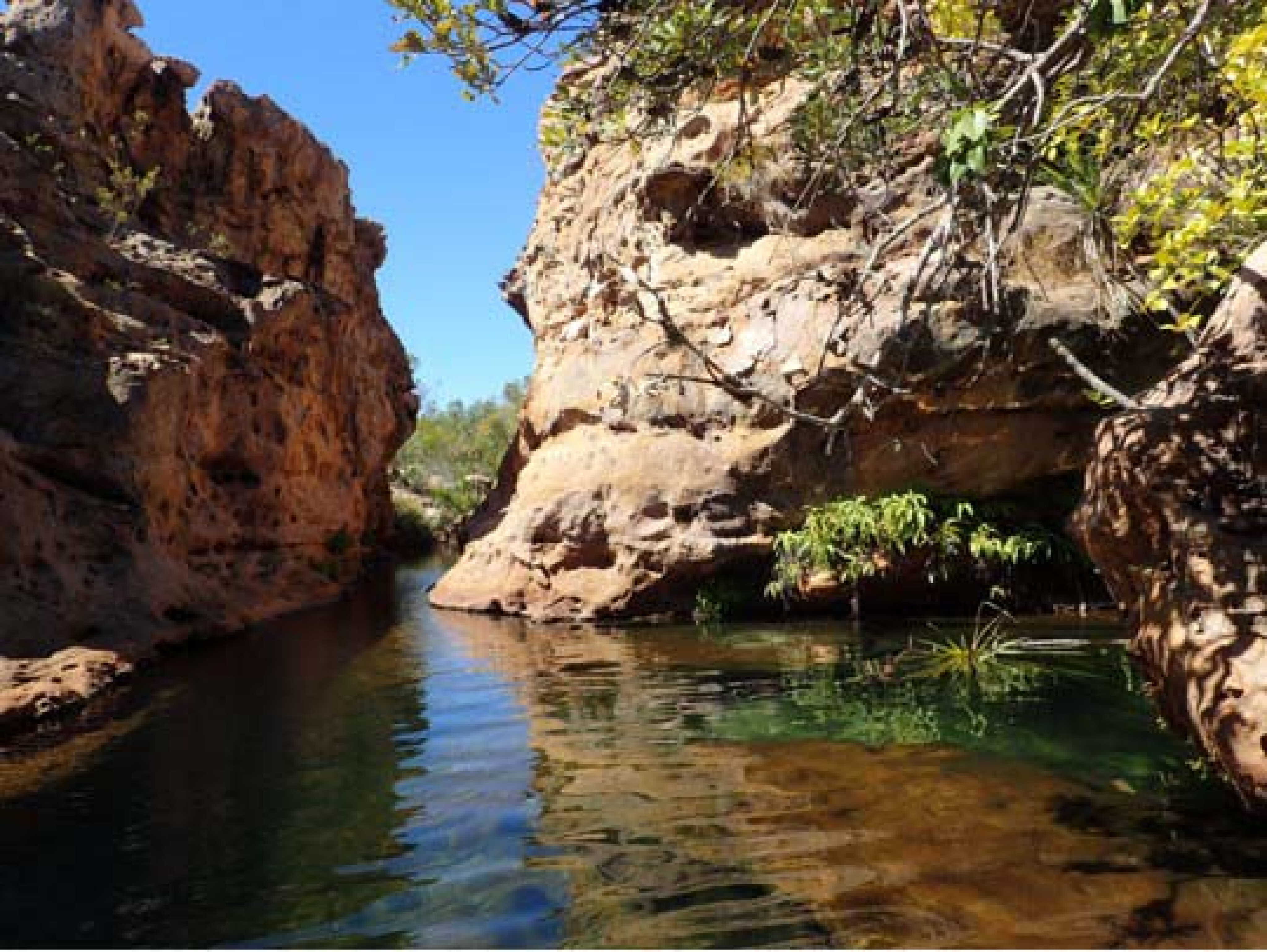
There are more than a dozen gorges, thermal springs and secluded waterholes here. The pick of the swimming holes are Nudie Springs, Teardrop Falls, Nanny’s Retreat and the deep clear waters of Helicopter Falls. The access tracks can be rough, rocky, and sandy so only take a trailer if it and your tow vehicle are up for the challenge.
Further east, you could explore the magnificent range country and lookout at Walker’s Rock and there is some wonderful riverside camping along Rosie Creek – but no swimming here as the creek is home to several saltwater crocs.
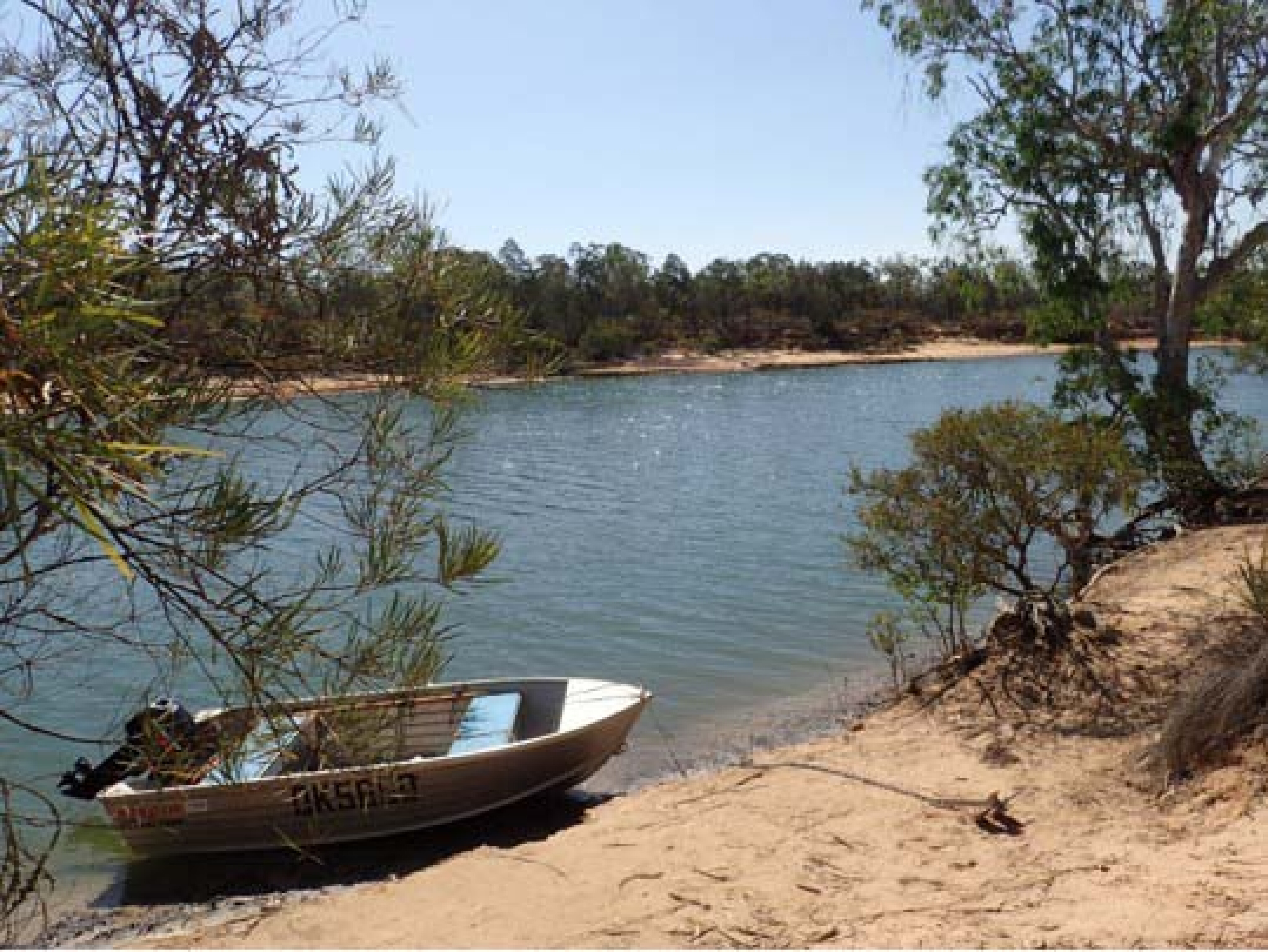
There’s some great fishing and crabbing amongst the many coastal tributaries but it’s wild and remote and there’s no fresh water, fuel or help, but plenty of big crocs, sharks and sandflies.
Up-river the numerous rock bars can be fatal for your outboard on a low tide so best to travel with a mate in a second boat, or at least take a backup motor.
The rewards are rich for the well-prepared with all the tropical favourites including queenfish, barra, mangrove jack, cod, trevally and the ever-tasty mud crabs, but with a tag-and-release policy it’s all about the fun.
Lorella Springs was always closed during the wet season, from October to March, but in the dry season it was a must-visit destination for those travelling through this area.
Hopefully it will reopen to the general public soon, and in due course we have been assured an announcement on the wilderness park’s future will be made on the Lorella Springs Facebook page. Keep an eye out…
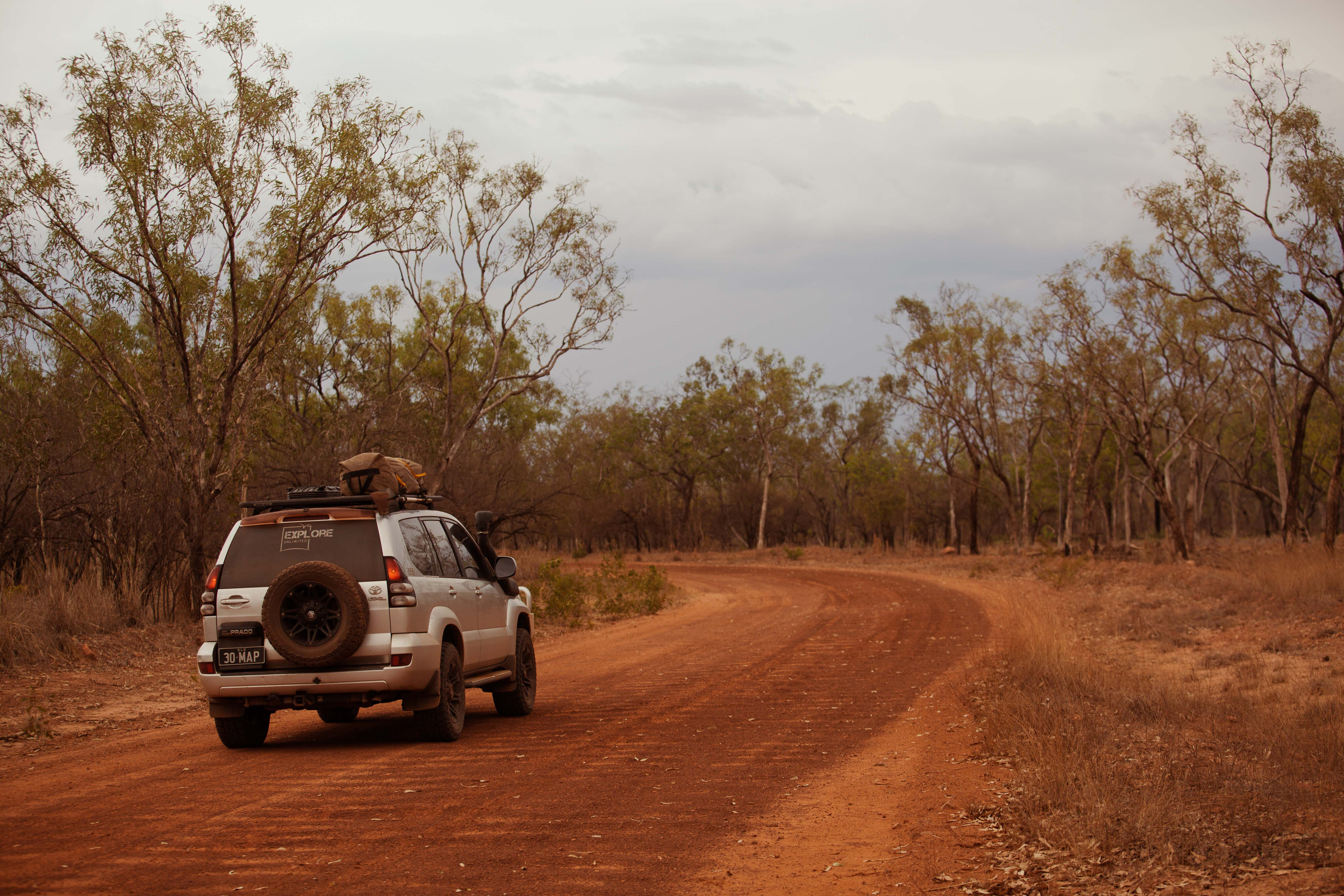
It’s a long drive between drinks
Whether your thirst is for water, beer or fuel it’s a long way between ‘drinks’. At best it is 550km between Borroloola and Mataranka but allowing for side trips plan for 700-800km without a resupply of fuel, water, or food.
There is water available at the Nathan River Ranger Station but only take what you need. Roper Bar store looks to be closed indefinitely so the only reliable option is Lorella Springs Station between April and September.
Like any gulf road, the access road can get very dusty and corrugated, especially later in the dry season. The park is closed for much of the wet season and there’s little or no mobile phone reception.
Contacts
NT Parks Pass
Website: nt.gov.au/parks/park-pass [↗]
Limmen NP
Phone: 08 8973 8888
Website: nt.gov.au/parks/find-a-park/limmen-national-park [↗]
Lorella Springs
Phone: (08) 8975 9917
Website: www.lorellasprings.com.au [↗]
Facebook: www.facebook.com/lorellaspringsstation [↗]

COMMENTS