Explore QLD
Gallery26
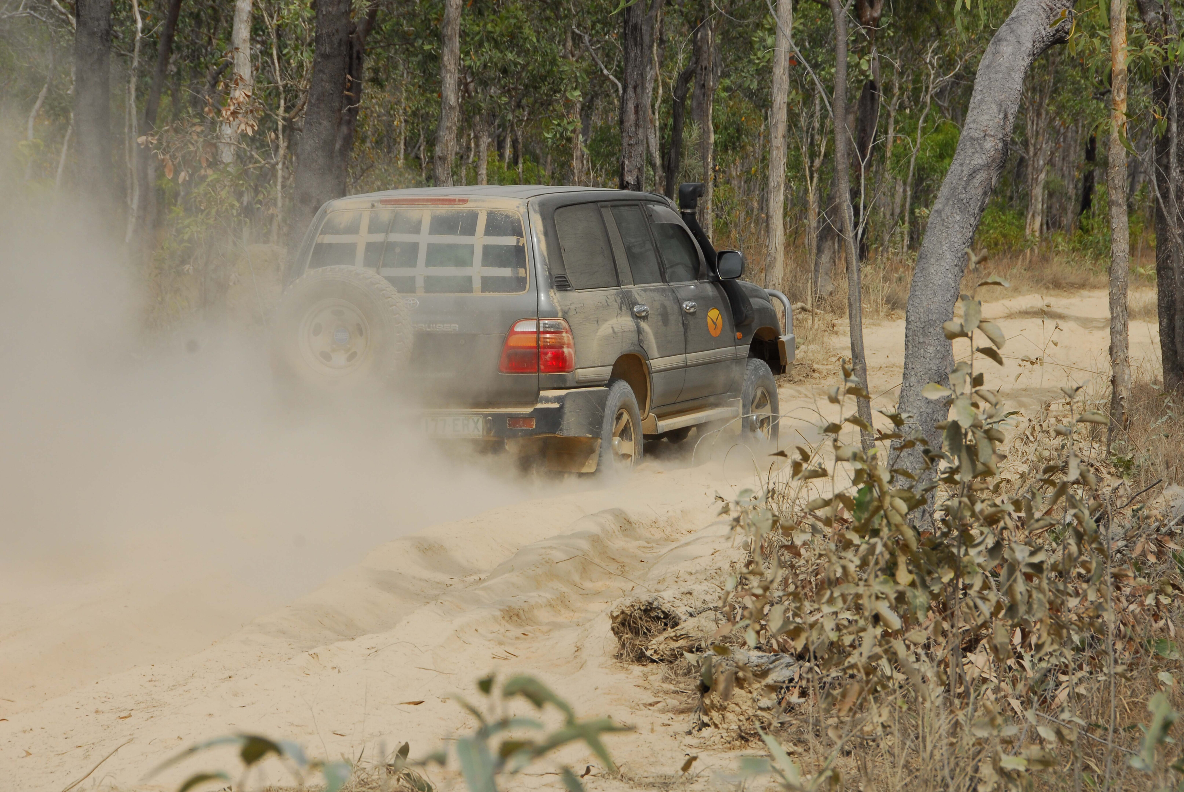
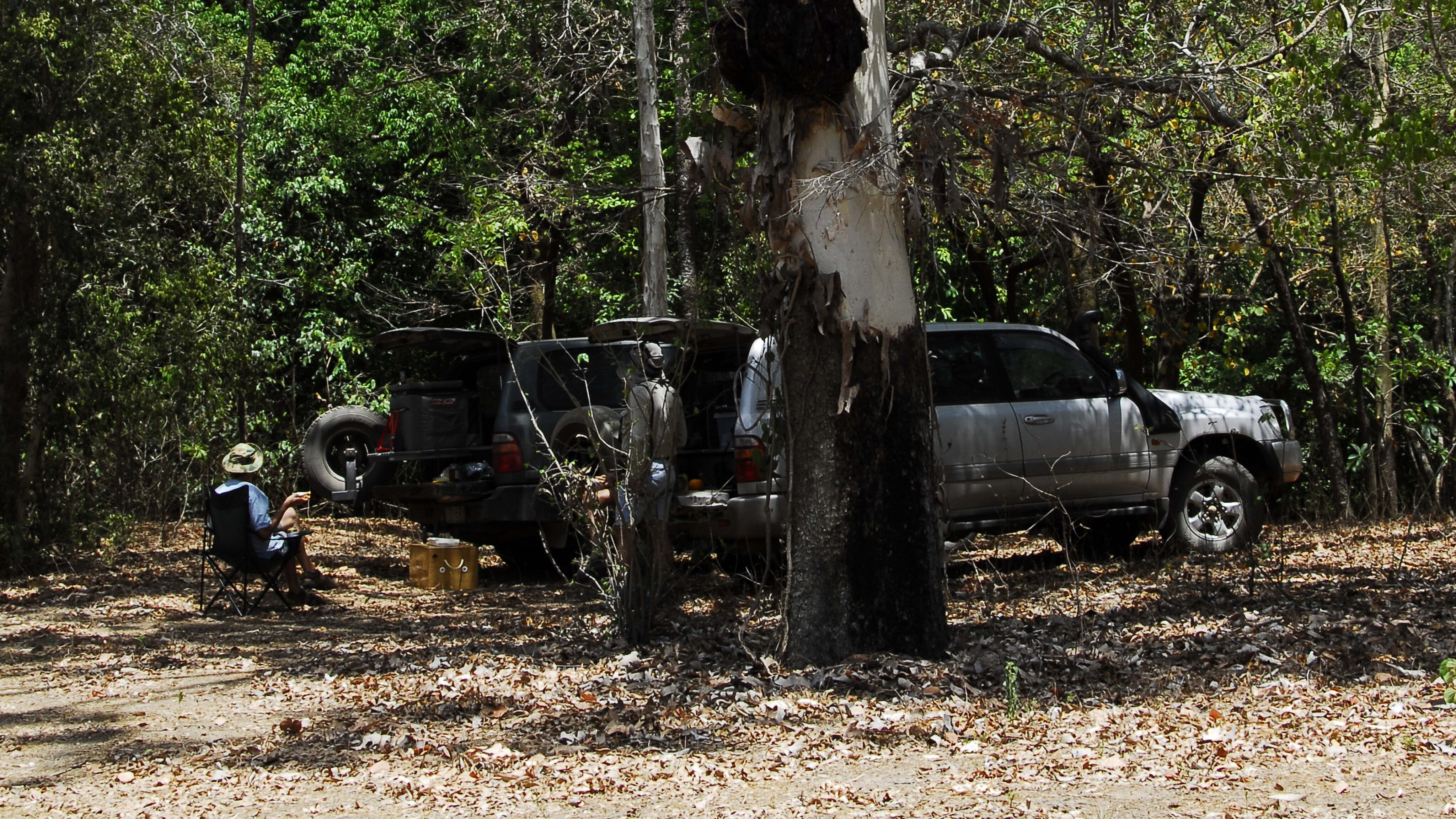
Coen is a laidback village where you can rest a little before continuing your journey north to the tip of the Cape York Peninsula.
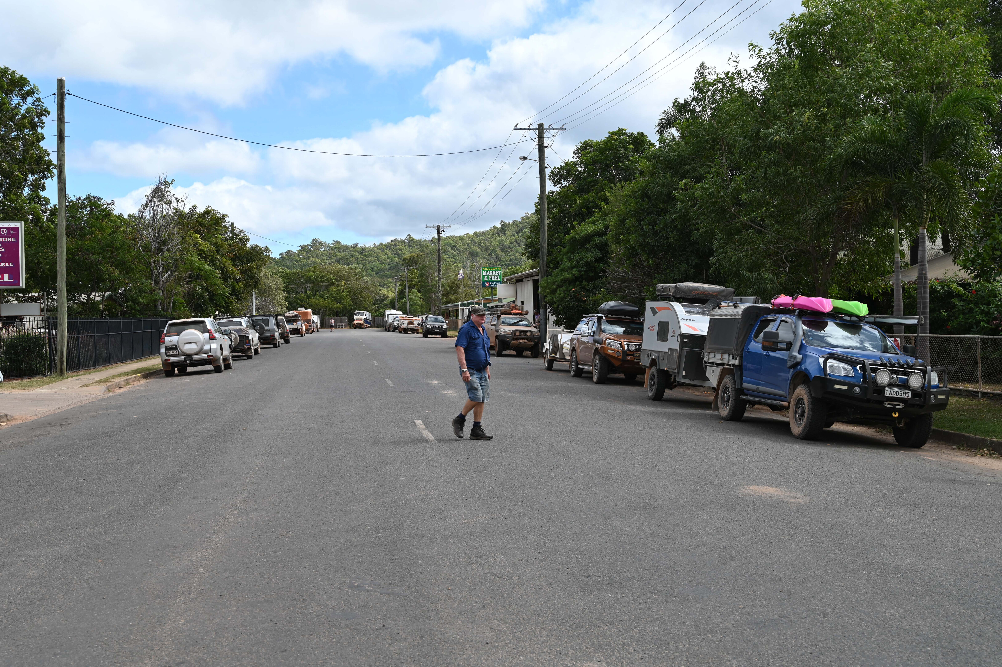
There are several worthy attractions about this busy little town that is home to a population of 330 souls. It has accommodation, a store and fuel, mechanical repairs, a police station and other facilities.
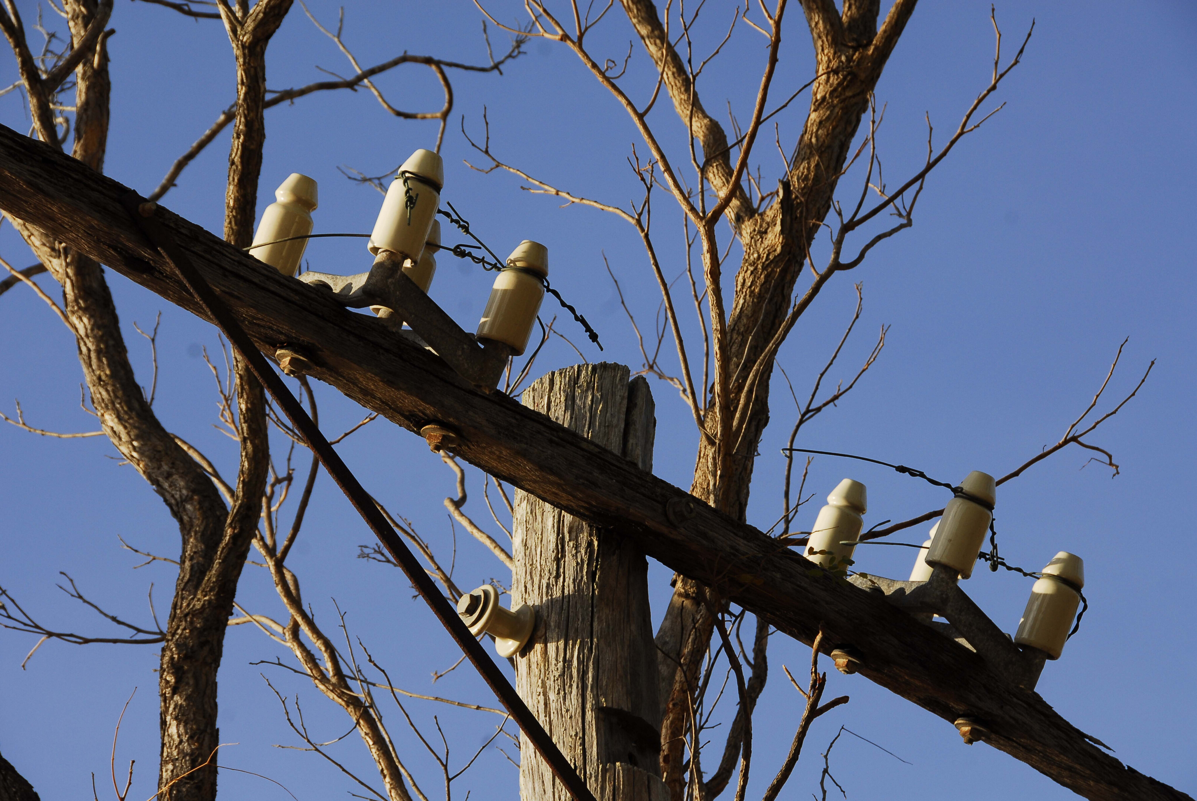
Like most other Cape York communities and roadhouses, Coen was originally a repeater telegraph station for the Overland Telegraph Line. It was of huge importance during WW2 when Japanese forces bombed the islands to the north. There is a persistent legend that the enemy landed a small force from a submarine on the east coast of the mainland with orders to blow up the telegraph station but it’s said that they got lost and perished in the rugged McIlwraith Range.
26
Cape York Heritage House has historic items from the old telegraph station and other memorabilia from the old days.
The heritage centre provides plenty of information on the local history and the days of yore when the district was a booming gold-rush town. You can even explore some of the old mines in the surrounding bush, including the four-head stamper at the gold mine site.
Continuing north is The Bend campground next to the Coen River. There are small pools and rapids here that are great for swimming, but the only facility is a drop toilet.
26
Living with nature
Coen is the gateway to the Oyala Thumotang National Park, formerly the Mungkan Kandju NP.
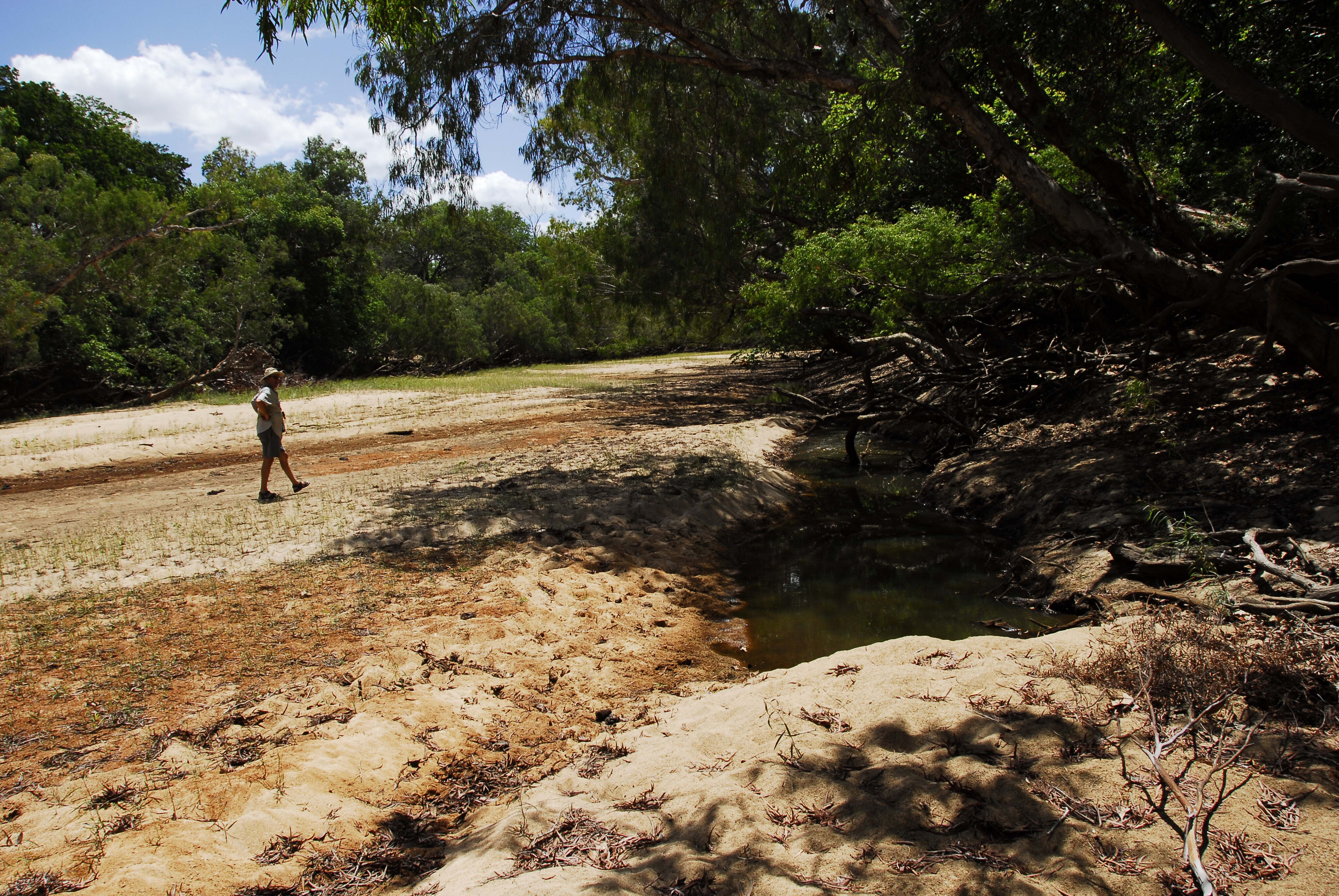
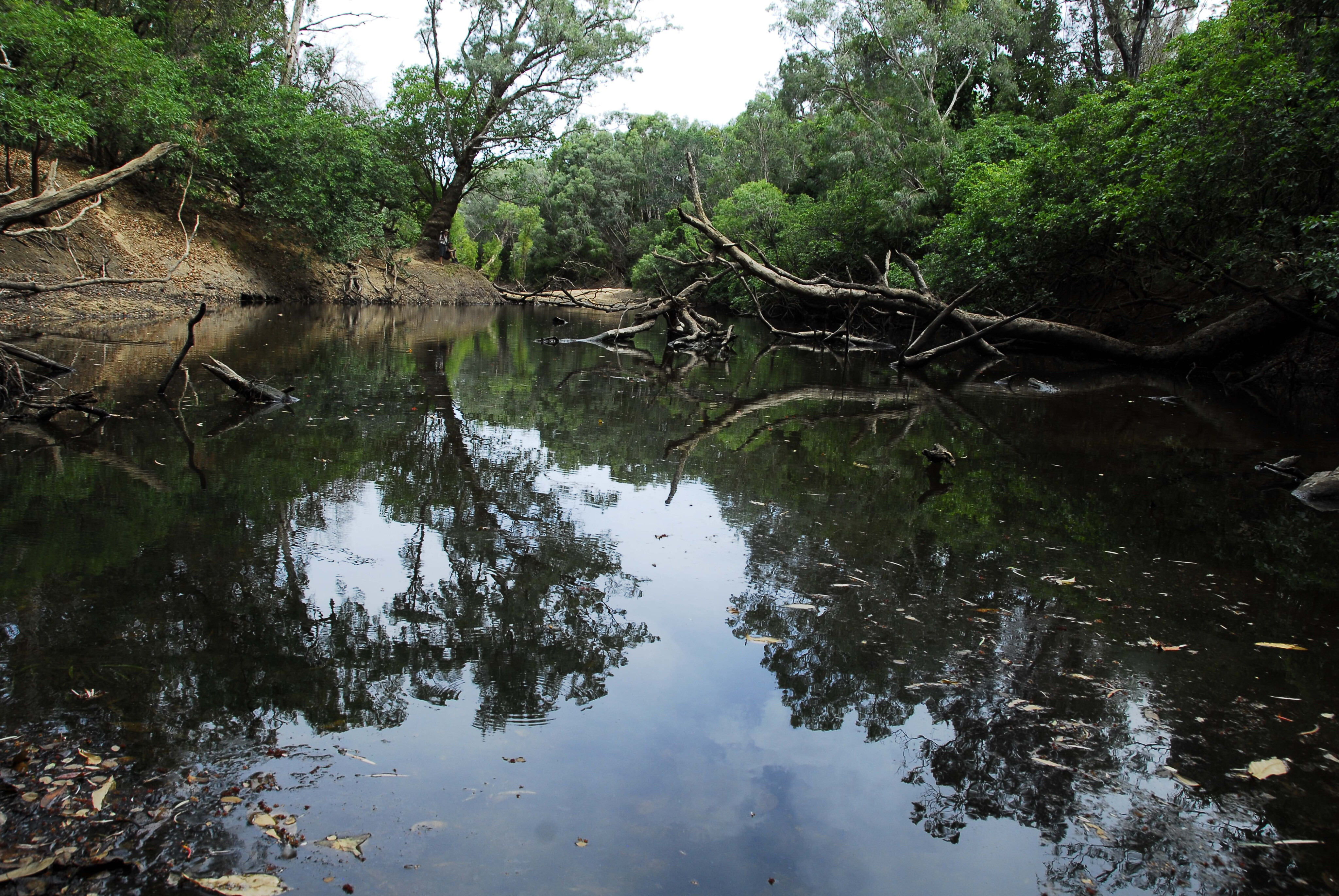
The turnoff is 25km north of town and the park is situated between the Coen River to the south and the Archer River to the north. Both stop flowing at the end of the dry season, leaving small pools and some enduring waterholes, rich in both fish and crocodiles.
Both rivers have verdant rainforest that house an amazing variety of birds, including fruit doves, white, palm and black cockatoos, trumpet manucodes, yellow-billed kingfishers, magnificent riflebirds, scrub fowl, scrub turkey and more. Fruit and insect bats fill the air at night.
26
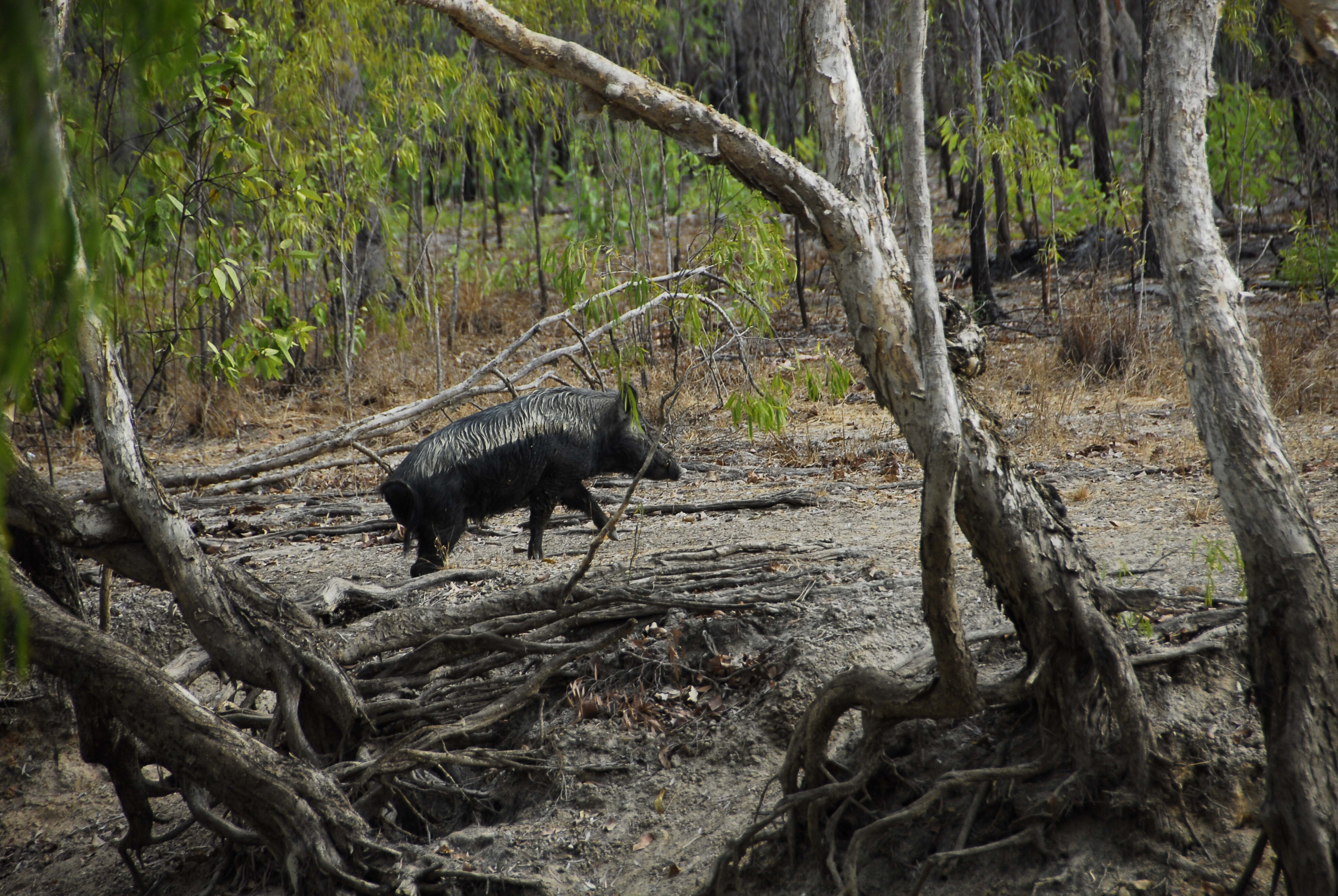
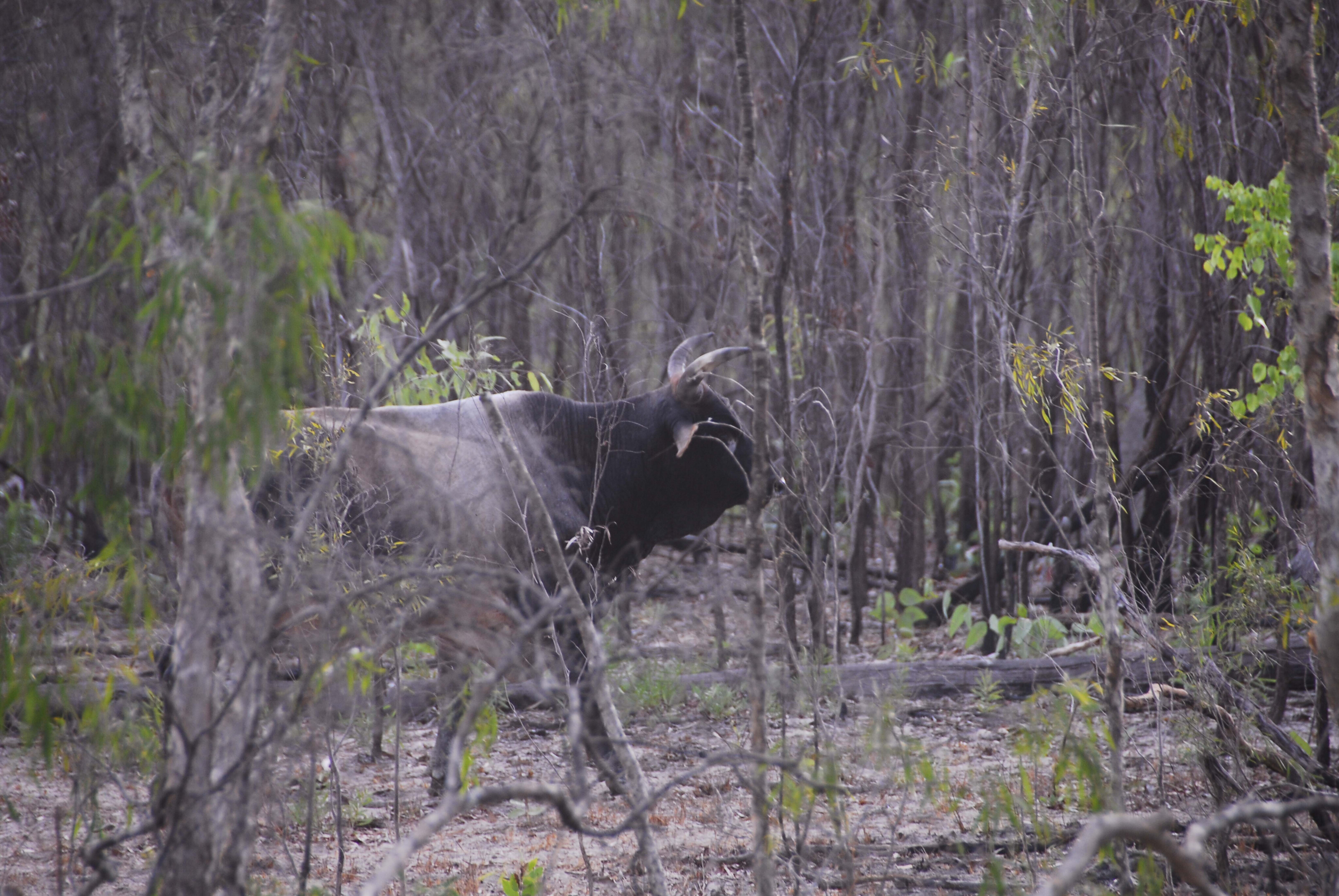
Most of the park features monsoon woodlands where sarus cranes, brolgas, emus, bustards, antilopine wallaroos, agile wallabies, and grey kangaroos share space with introduced wild pigs, cattle and brumbies.
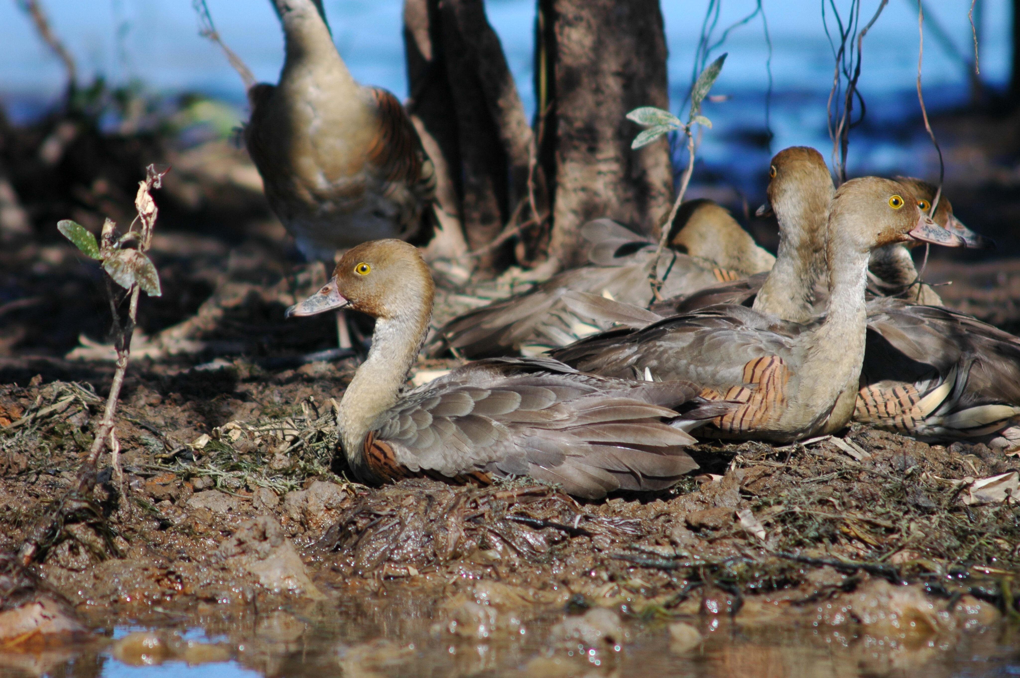
An abundance of permanent billabongs and small swamps, stream pools and springs are home to many species of waterfowl, pelicans, ducks, geese, jabirus, egrets and spoonbills.
The animals were once the food source for the Wik Mungkan, Southern Kaanji and Ayapathu people who retain important cultural links with the park they jointly manage with the Queensland Parks & Wildlife. The people observed the 1848 Kennedy Expedition and 20 years later saw the herds of cattle and horses when the Jardine Brothers drove them from Bowen to Somerset.
26
The Overland Telegraph Line placed Coen on the map, but it was the 1887 gold rush that saw the beginning of the end of a lifestyle that the people had lived by for thousands of years.
Cattle stations were established, and deadly skirmishes happened between the two races as they sought to establish ownership of the lands.
The park was gazetted in 1977 as the Archer River National Park when Archer River Station and later Rokeby Station (1981) was purchased by the Queensland Government.
It was declared a national park in 1994, under the names of two Aboriginal tribes, Mungkan and Kandju. Part of the land was returned to the traditional owners in 2010 which was followed by the transfer of the total area to the traditional owners in 2012, and the park was renamed to its current name meaning ‘people and river lands.’
26
Langi section
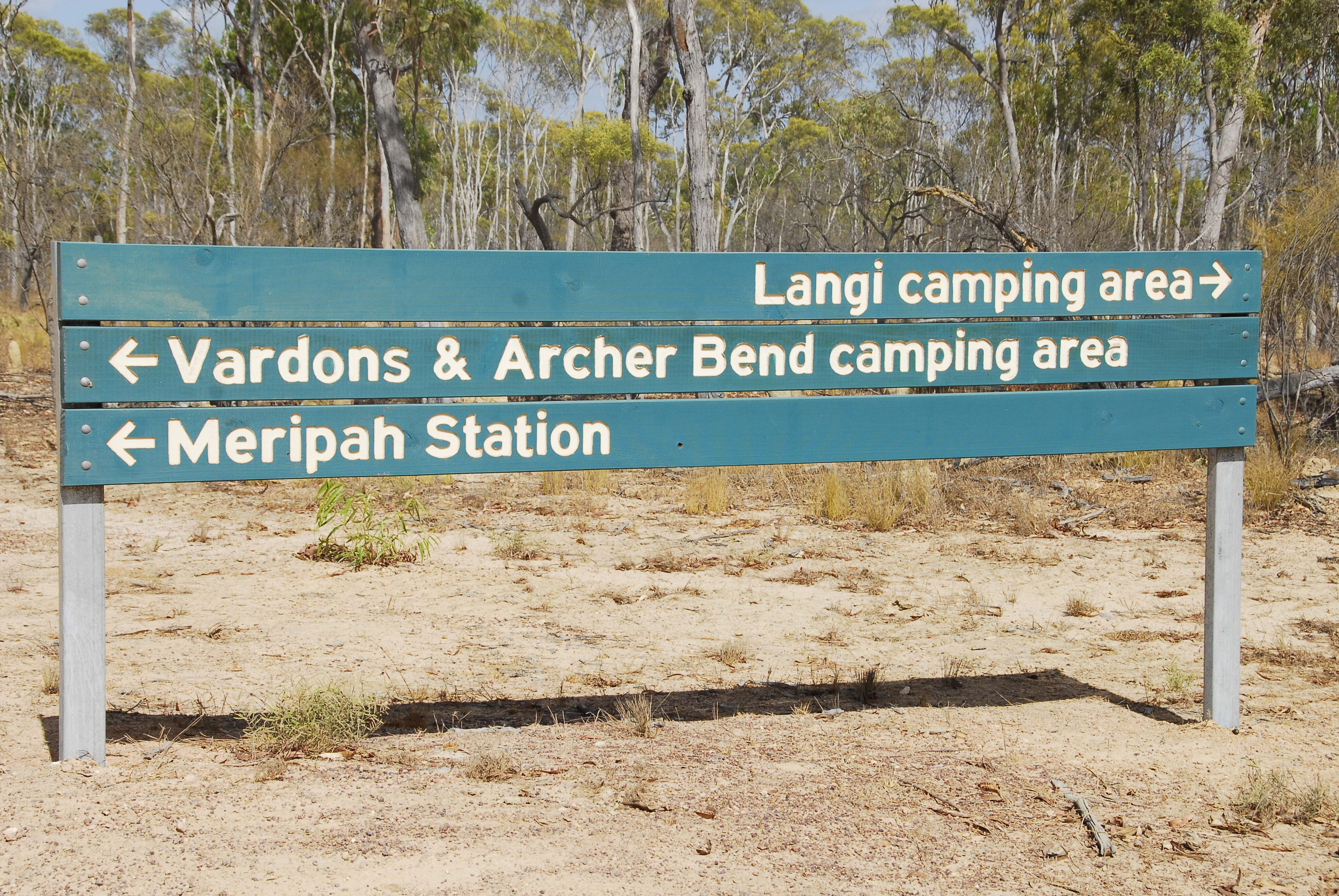
The park consists of four sections: Kulla, Langi, Coen River and Archer Bend.
Kulla is on the east side of the Peninsula Developmental Road (PDR), but few tracks are in the area.
Langi is 78km from the PDR-Rokeby Road junction. It borders on the gallery forest-lined Archer River. The Old Archer River Crossing was once the original crossing of the Overland Telegraph Track. Langi is very accessible and it’s amazing with its water lily-clad billabongs and swamps. The billabongs have good barramundi fishing and Jardine saratoga, as do the permanent pools in the Archer.
Both the Archer and Coen Rivers stop flowing at the end of the dry season, leaving enduring pools that attract a lot of wildlife and are rich in fish and crocodiles.
26
However, if you are looking for scenic places, this park, apart from the McIlwraith Range in Kulla, may not be for you as the country hereabouts is is considered plain by some visitors, but nature lovers will enjoy the serenity of bush and the wildlife, and that is what this nature park is all about.
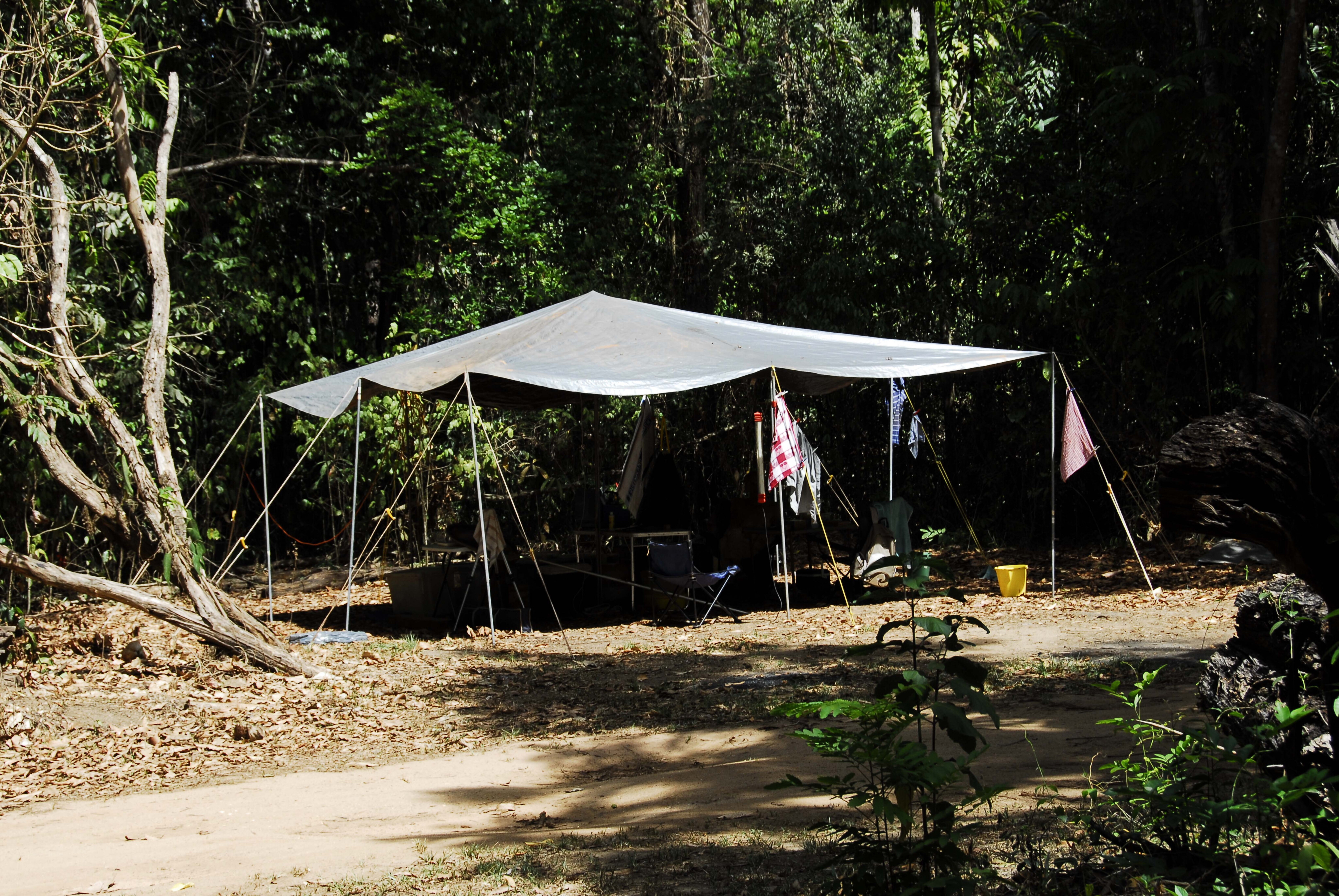
There are five campsites in the Langi Section: Old Archer River Crossing, Jerry Lagoon, Twin Lagoons, Twin Lagoons Two and 10-Mile Junction. It’s rough bush camping only with no facilities.
The park guidelines state that there is no fresh water available, but that applies to drinking water, as there is plenty for bathing, even cooking, in the area. You can boil bush water for five minutes to get rid of any impurities. Just be aware that both Johnstone and estuarine crocodiles are part of the scenery in this remote region.
26
Coen River section
This section is 74km from the PDR-Rokeby Road junction. It’s an interesting drive that tracks past termite cities, under monsoon woodlands, past billabongs and swamps, and dips into washed-out dry creek crossings fringed with vine thickets and scrub.
Stop over at the Pandanus Lagoon day area and enjoy the waterfowl spectacle and the agile wallabies. The billabong is fenced off to prevent wild pigs and feral cattle intruding on and damaging this fragile wetland environment.
There are several bush campsites: Mango 1, 2 and 3 Lagoons, First Coen River, Chong Swamp, Second Coen River and Vardons Lagoon. Also of note is that in Queensland, freshwater lakes are wrongly called lagoons (a tidal body of water), but in the Northern Territory similar bodies of water are known as ‘billabongs’ (ox-bow lake), which has a much nicer ring to it.
26
Archer Bend section
This section is 125km from the PDR-Rokeby Road turn-off, via the Coen River section.
The track crosses the Merapah Corridor, 8km north-west from Vardons Lagoon, an Indigenous-owned property. The Bend is a pretty spot as the river is lined with monsoon rainforest. Here, the river flows for most of the year, which is why it attracts those in search of remote fishing adventures.
Monsoon woodlands, low ridges, billabongs and swamps are a feature of the region. In turn the water attracts wildlife. Slow down and you will be surprised by its variety. There are two bush campsites: Governors Waterhole and Horsetailer Waterhole. Both fish well for barramundi and saratoga, but be crocodile-wise.
26
From old Rokeby Station the track continues to the western section of the park, which is separated by Merapah Station land.
It ends on the Archer River. It runs parallel to the Coen River in places and is over 80km in length. Where it follows the Coen River you can walk to fishing holes and catch a barramundi for tea.
Freshwater barra don’t taste that good but soak the fillets in a strong brine mix for 20 minutes, dry them out and most people will never know the difference. A permit is required for the Archer River section, which can be obtained from the Coen Ranger station.
26
The Archer has a long tidal reach and the track ends on its influence of high tides.
There is excellent fishing in the river for barramundi and saratoga, while the semi-permanent pools in both the Coen and the Archer also have good sooty grunter fishing.
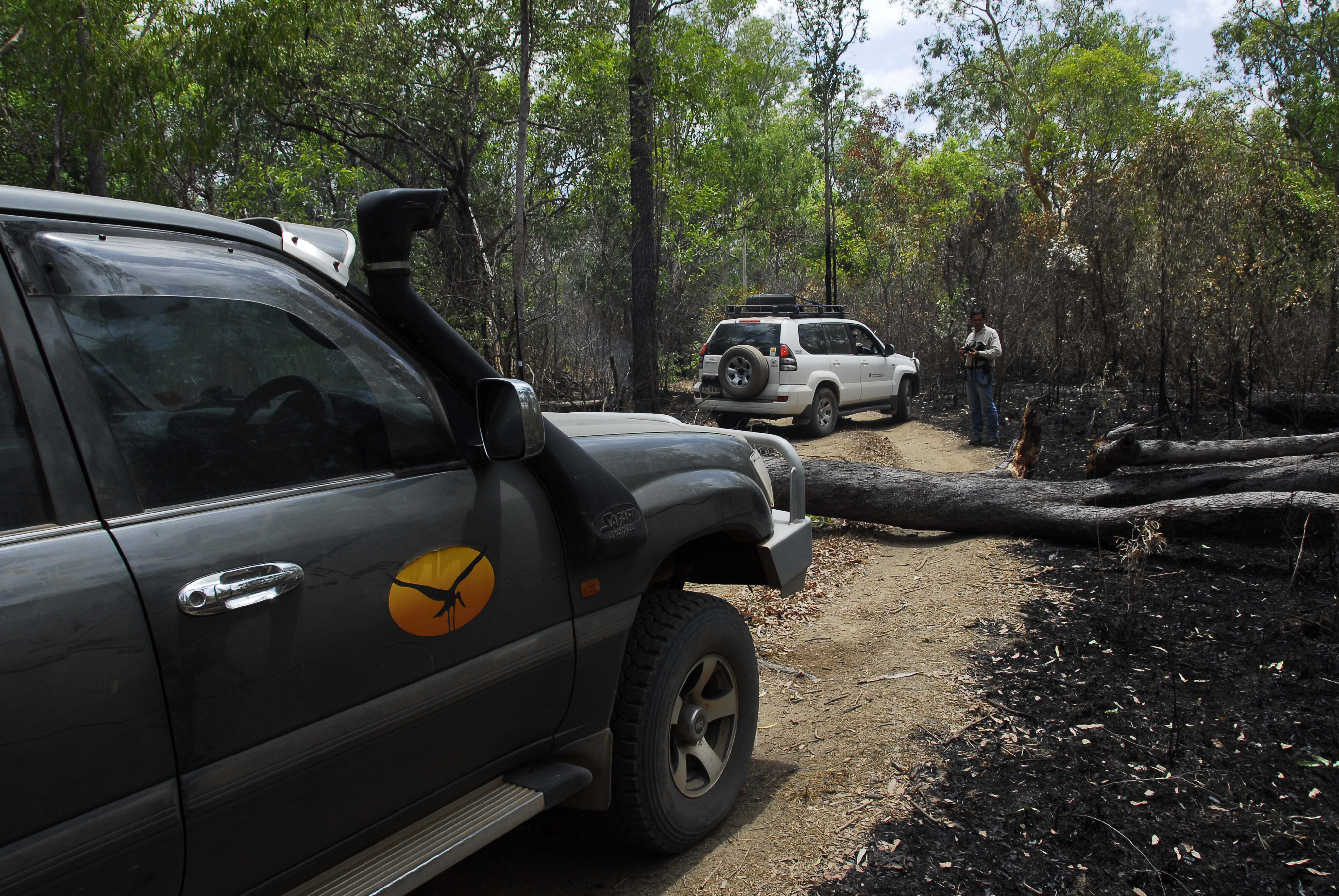
This track is difficult; on my last visit a few years back we were unable to drive on due to tree falls from a cyclone, while on later trip a bushfire had dropped many trees and branches on it, making it impossible to drive unless you had a gang armed with chainsaws along for the ride.
26
Things to do
The entire park is largely underrated and under-utilised by visitors, meaning it’s a great bush escape if you want to get away from the masses.
Walking about billabongs, fishing and bird watching are popular, but due to the sameness of the monsoon woodlands it’s easy to become disoriented and lost. Only recently in February, a pair of French visitors ignored ‘Park Closed’ signs and turned to the Old Archer River Crossing from the PDR and got bogged to the eyeballs.
They walked 60km for help. It was the height of the wet season, but luckily there was a break in the rains and the Coen RACQ managed to recover their vehicle.
26
Their excuse was that they were told that the PDR was closed at Archer River, so they chose an alternate route that was shown on their Google map – you know the rest.
This brings me to the best times to visit the park. Not the wet season as our French visitors did, but in the dry season when tracks have dried out. The park is closed from 1 December to 30 June.
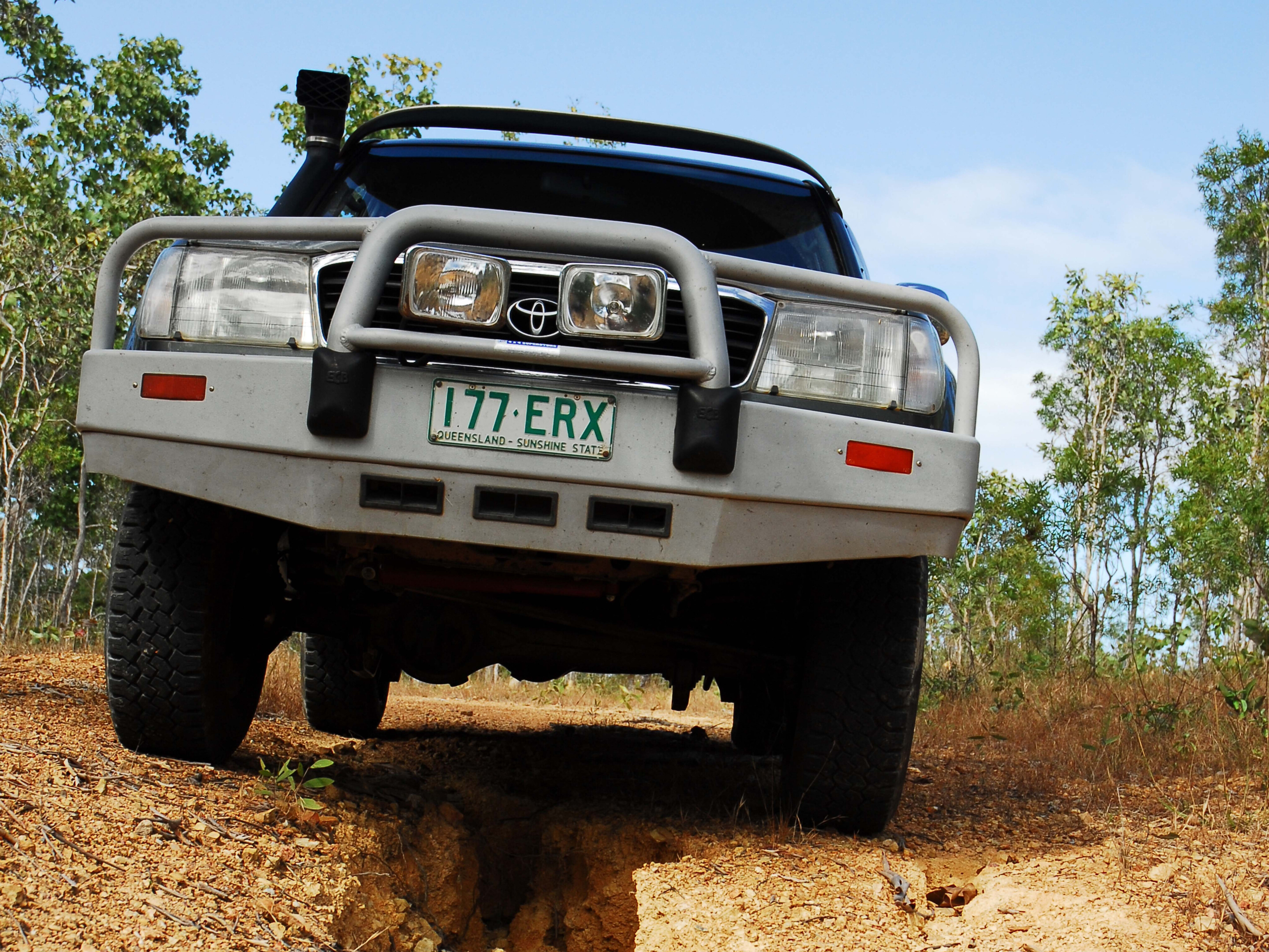
It’s a recommended 4WD-only park, but unregistered vehicles like quad and trailbikes are not permitted, while some tracks may be closed. Fishing is permitted and regulated under the Queensland Fisheries Act. Stay well away from deep water when fishing, and keep children away, because, I hate to say this, they are the right size snack for crocodiles.
Permits and bookings
Camping permits apply in all Queensland national parks. You can pick them up at the Atherton Information Centre and on the Cape at the Moreton Telegraph Station. You can book online, but you need to plan your day of arrival.
Cost per night is $7.25 per person or $29 per family, while group bookings can be made by visiting www.qld.gov.au/recreation/activities/camping/fees [↗️]
Please enable JavaScript to view the comments powered by Disqus.
COMMENTS