When the day began with the sweet smell of baked bread wafting in our direction, it was time for us to get moving.
We’d been camping overnight at Farina and could see the queue growing at the bakery’s door well before it opened. Over the years, Farina’s bakery has become a real institution that only opens for eight weeks each year around May to July.
Hearing people come from far and wide simply to visit the bakery, you know it’s going to be good. The fact we walked out with a few sweet lip-smacking treats, pies, and some bread, there was no way we were going to go hungry on this trip. The bakery can sell out early, so get in quick because, as they say, first in, best dressed.
Loading all our goodies into the 4x4, we were looking forward to getting out onto the track. The Witchelina Nature Reserve covers 420,000ha and has several 4x4 loop tracks to choose from.
Most of these tracks start and finish at the southern entry point by Farina with one loop accessed from the northern end by Marree. The area’s diversity is one of the biggest reserve drawcards; besides the pastoral and geological history, you’ll find two old Ghan railway lines pass right through the Witchelina reserve, so there are plenty of things to see and experience.
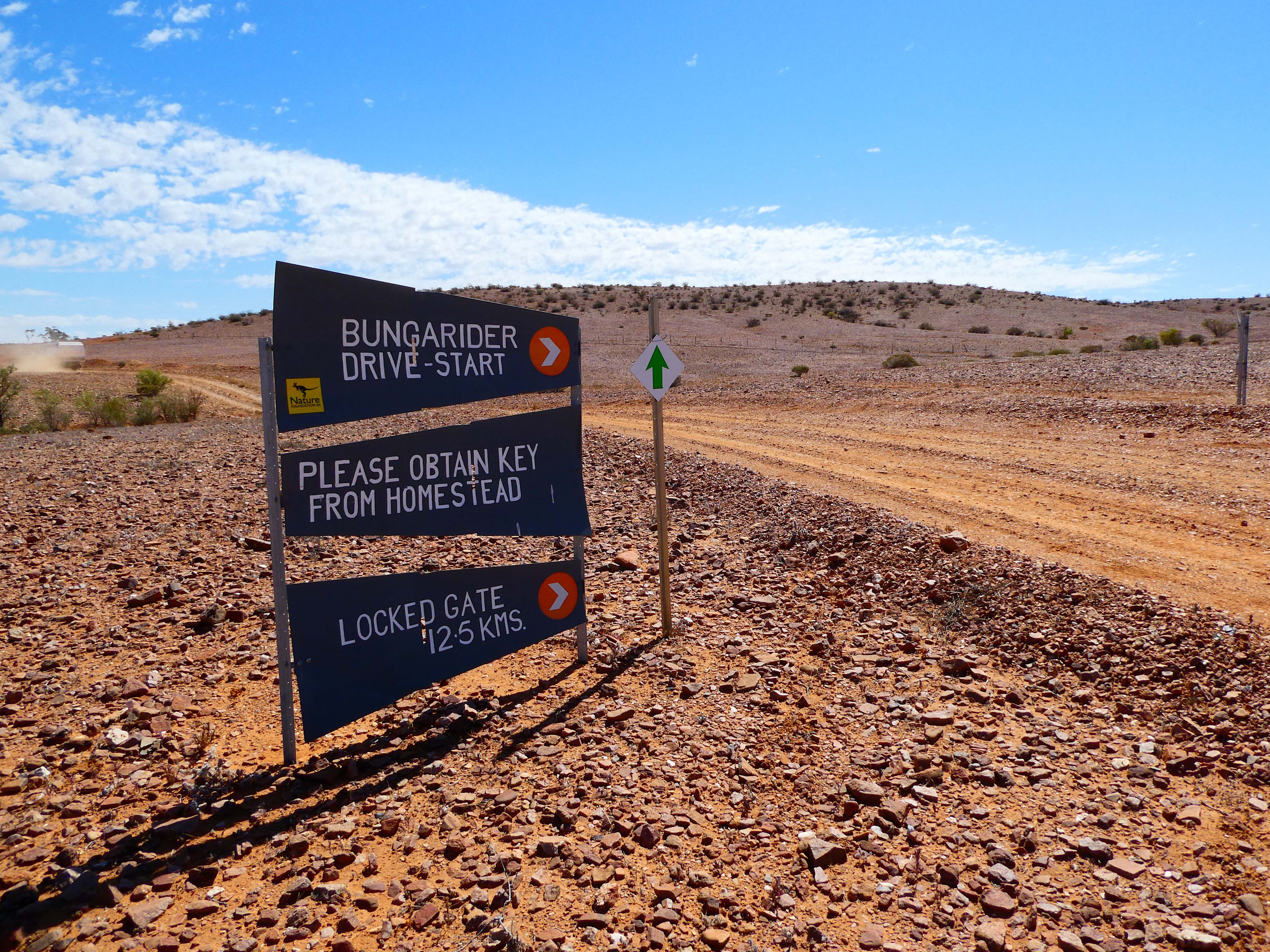
This Witchelina visit was going to be our second, and we chose the Marree loop around the Old Mount Nor-West station area this time around. We’d picked up our gate key and mud map from the Marree Hotel the day before and were now ready to roll. Out on the blacktop, we hightailed it 20km towards Marree and took the signposted turnoff to the Witchelina Track.
A bit of history
The first early explorer who travelled through this region was Edward John Eyre in 1840. Around this time, there were two indigenous groups within the land making up the reserve.
Almost 20 years after Eyre’s visit, surveyor Samuel Parry mapped much of the region and south to the Flinders Ranges in 1858. A year later, George Goyder, who was SA’s Surveyor General at the time, then continued where Parry left off.
As far as pastoral history goes, Witchelina truly kicked off for pastoral use around the 1870s with sheep and cattle being grazed for the next 130 years, although pastoralists soon found sheep were better suited to the conditions as they could cope with the saltier water.
The station has had numerous landowners throughout this period including once being part of Sidney Kidman’s empire.
When the property was put on the market again just over 15 years ago, it was picked up by the South Australian not-for-profit organisation, Nature Foundation.
Since coming under their ownership, the foundation has de-stocked and removed feral animals. They’ve also put in programs to help restore the land and its diverse habitats.
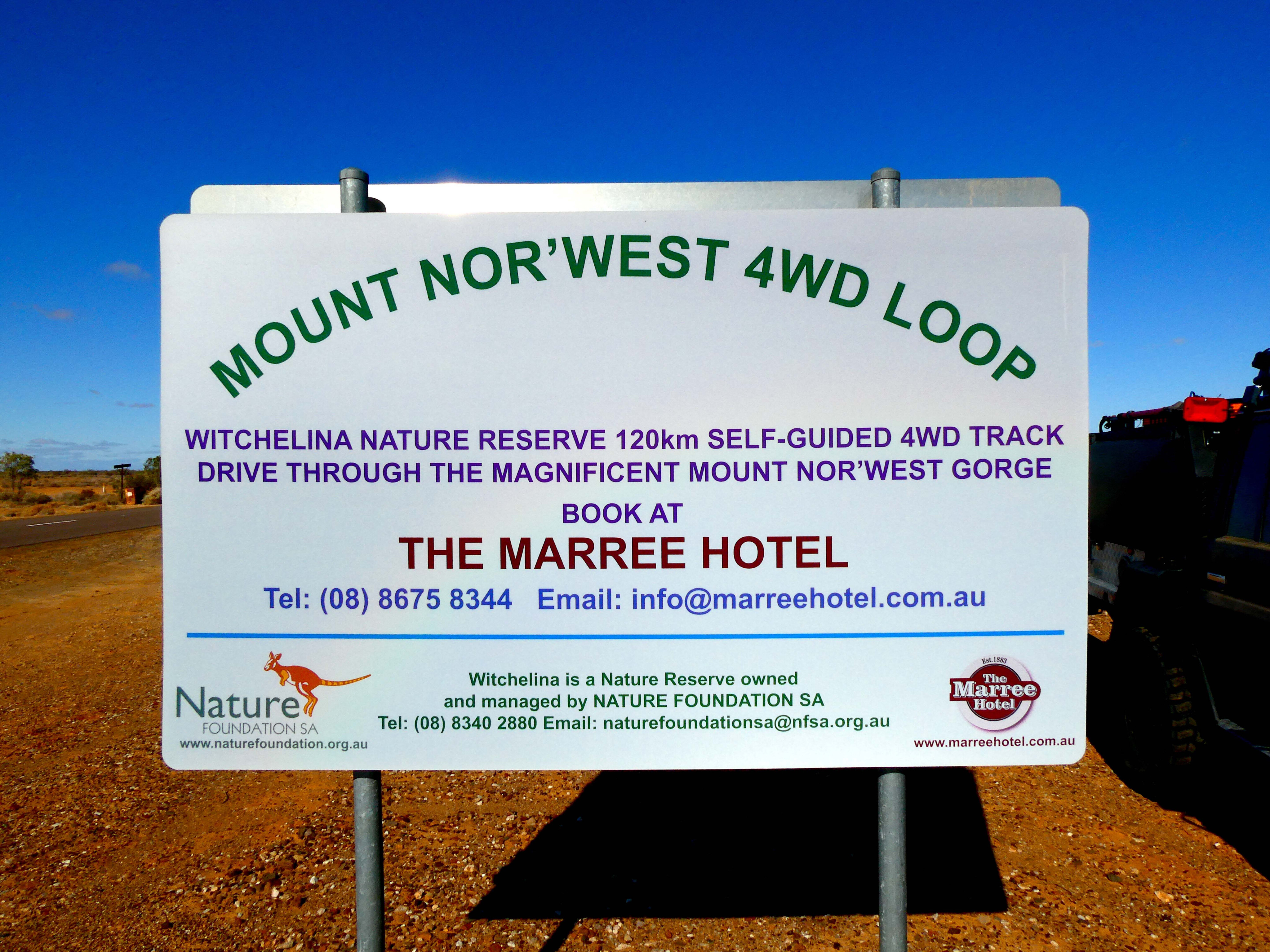
Old Mount Nor'West 4WD loop
After unlocking and passing through the gate to get onto the track, a quick look at our mud map revealed we’d just crossed the narrow gauge (3 feet, 6 inches) railway line to Alice Springs.
For railway buffs, this is the original Ghan line that was extended from Farina to Marree in 1884. Following the mud map and corresponding trackside signpost, we ran along the nature reserve’s boundary fence line for more than a kilometre.
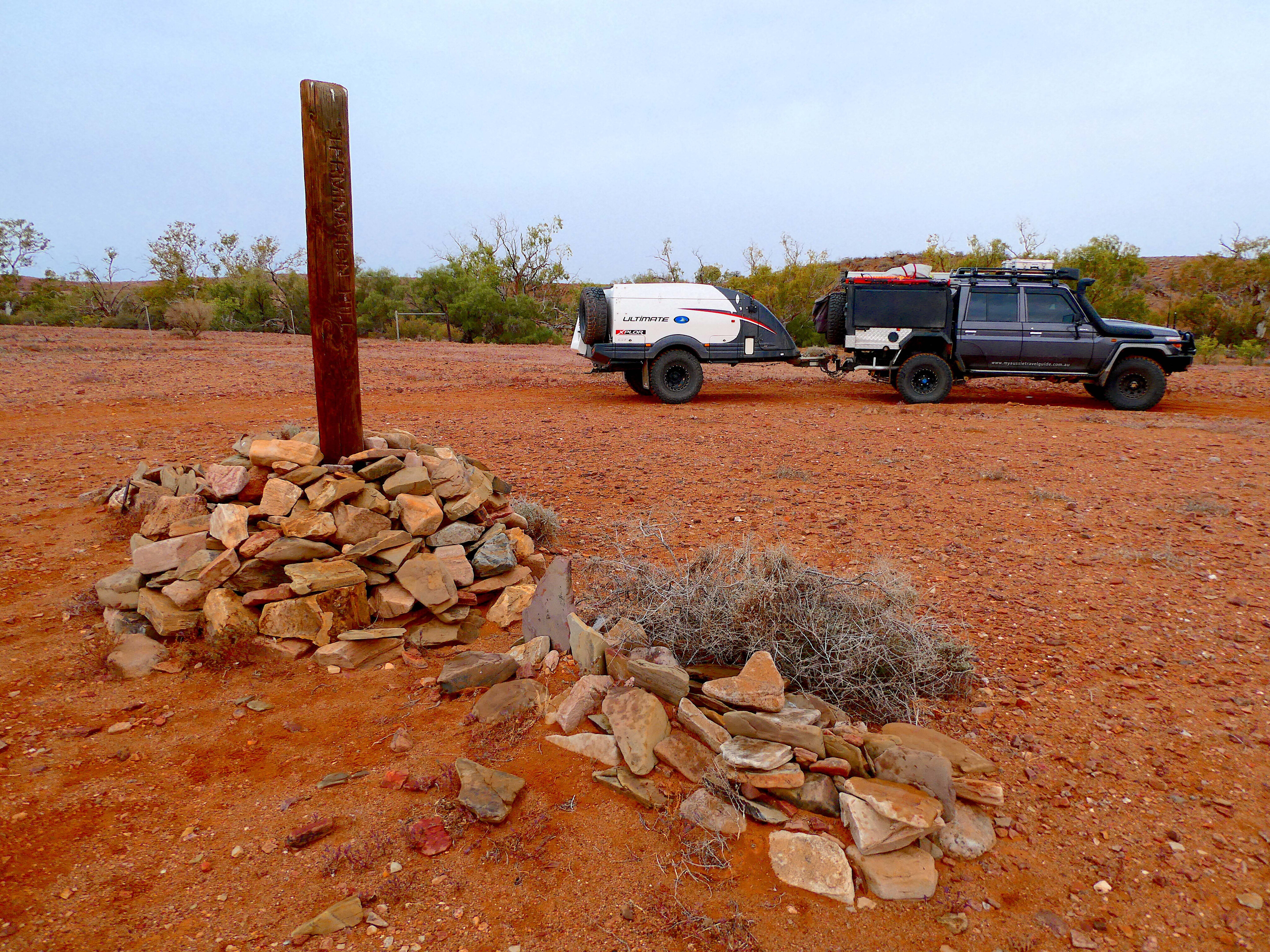
The relatively new fence has been erected on top of what was the old railway line so it’s not hard to miss. When reaching a turnaround point, it was evident this whole area was situated on a floodplain. Although the region doesn’t receive frequent rainfall, some incredible stone paving had been laid trackside to prevent floodwaters washing out the ballast and undermining the tracks.
What a back breaking job this must have been, as it spanned one hundred metres at the very least.
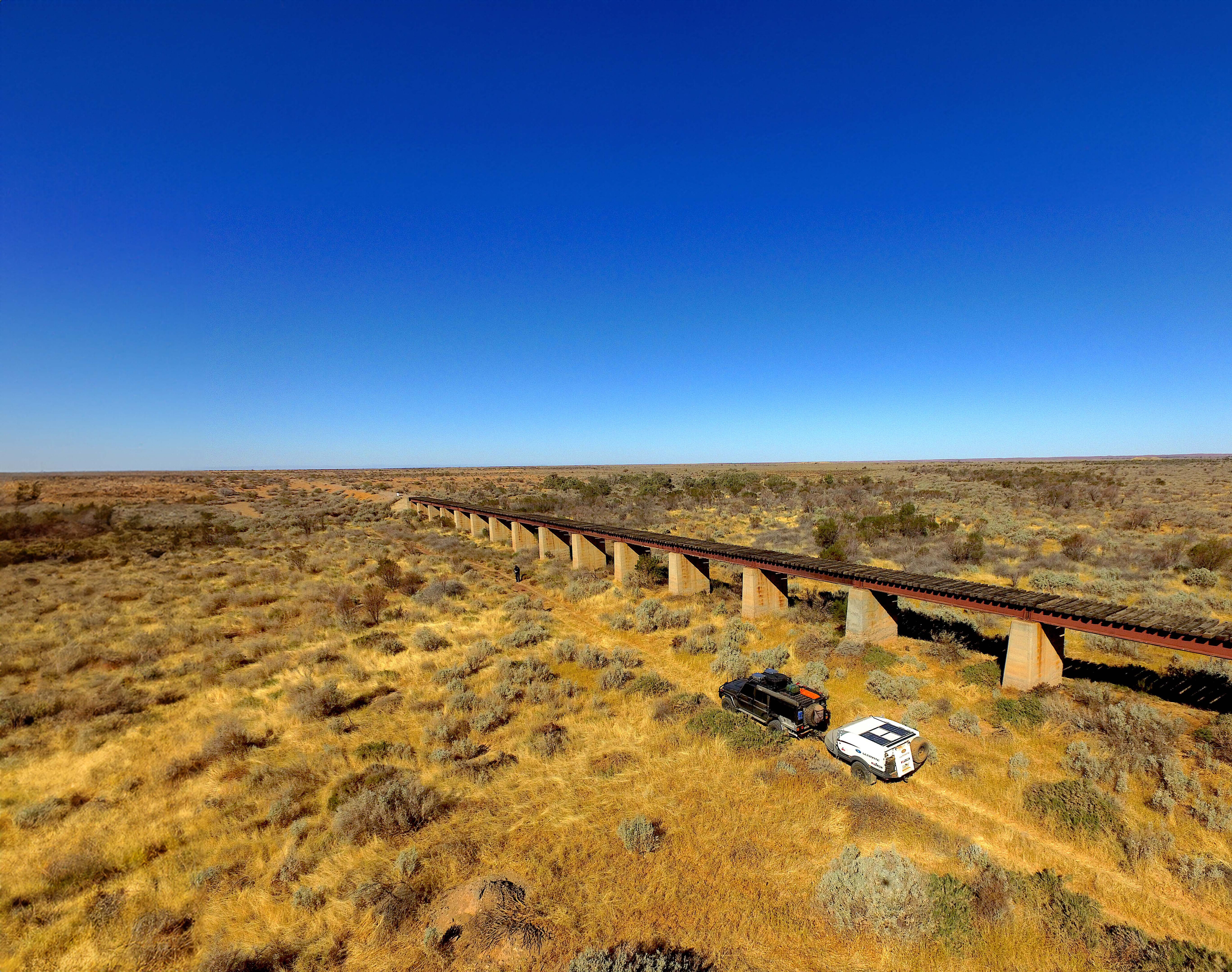
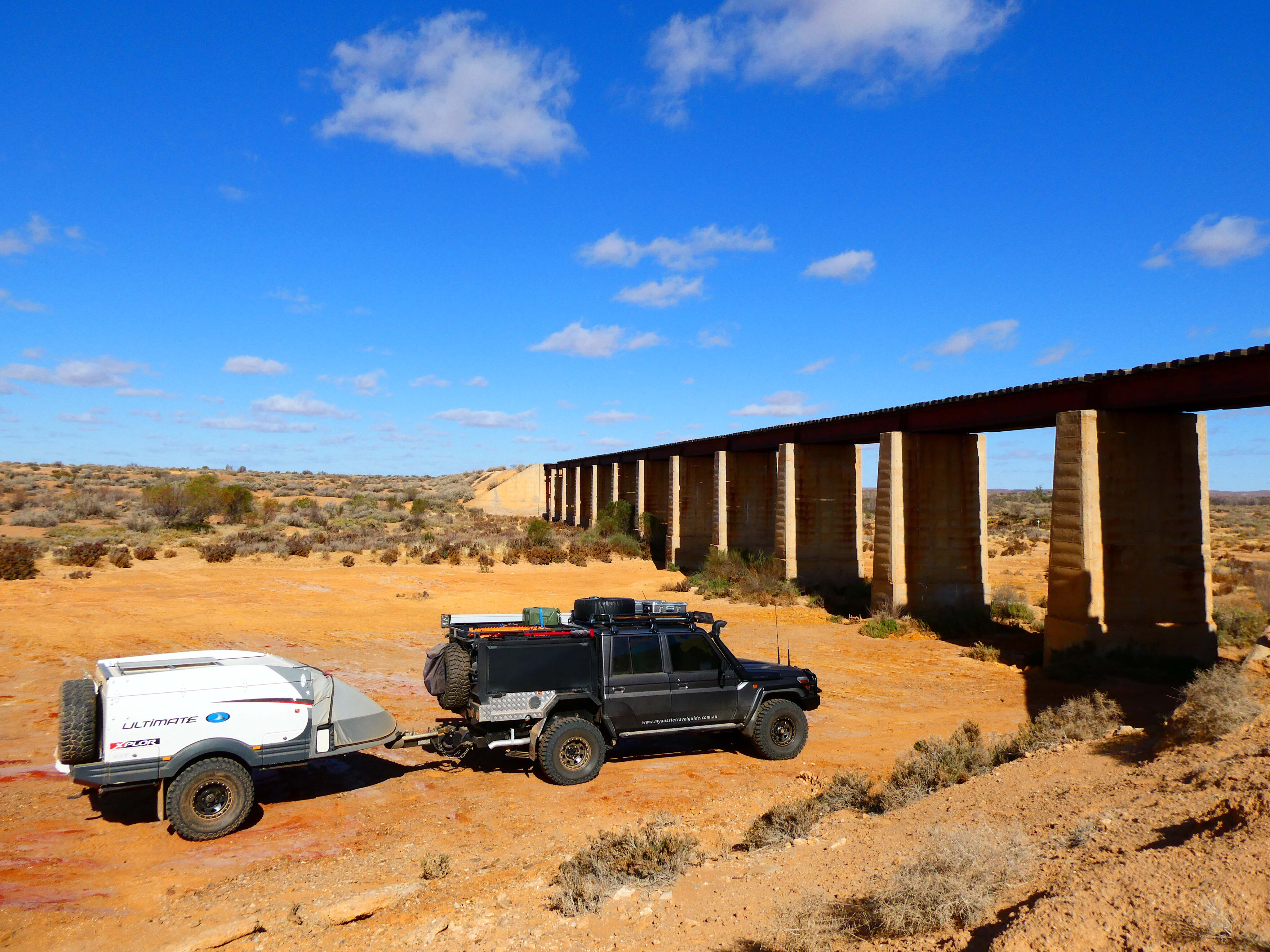
Travelling further west, it was hard to ignore a large railway bridge that dominated the landscape ahead. This bridge is part of a newer Ghan line that was put in less than 70 years ago. Unlike the original Ghan line, this newer version utilised standard gauge (4 feet, 8.5 inches).
Back in the day, it was used to freight coal from Leigh Creek to Port Augusta’s power station before the line was extended to Marree. It’s a short walk to the top of the bridge where we found spectacular views in every direction.
Murrumbidgee Waterhole was the next landmark along the track which we’d heard is generally dry, so finding it with a series of shallow pools and some black swans in the distance was a real bonus.
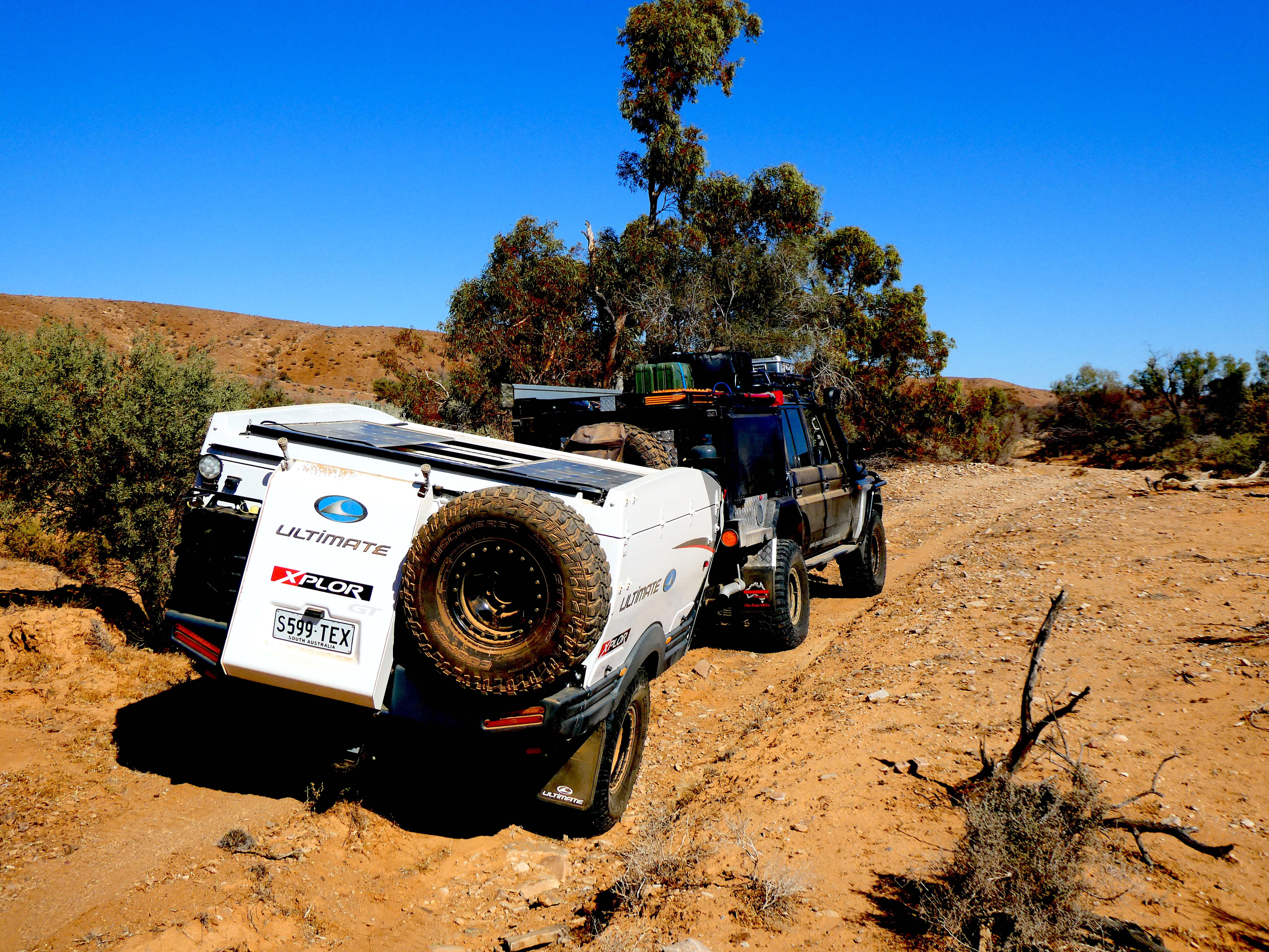
The track then leaves the floodplain and passes through some rolling hills. There were numerous dry creek crossings along this section that were either steep or a bit washed out, but nothing serious. We found those first 25km slow going, but not because of the track’s conditions.
There were simply so many attractions that grabbed our attention and had us stopping and out of the vehicle. Here the track passes numerous old wells, plus an assortment of water tanks that vary in age, size and condition.
Spring Well and an old stone tank are prominent features in this section of the track, and the old sheepyards found nearby are still used occasionally for trapping goats.
Further on, walking into Spring Gully Gorge was another highlight. A substantial slate trough about 15m long is located at the gully’s entrance that was once used for watering stock. Finches and budgies flocked to the small waterholes within the gorge which was also a delight to watch. The track then follows a dry Willawalpa Creek for around 13km.
Along this section we passed a large ridge of quartz strata. It’s a natural ridge of rock that rises a few metres above the ground and spans a couple of hundred metres. In reality, it looks so good that you could easily think it’s been man-made.
Exploring Old Mount Nor'West
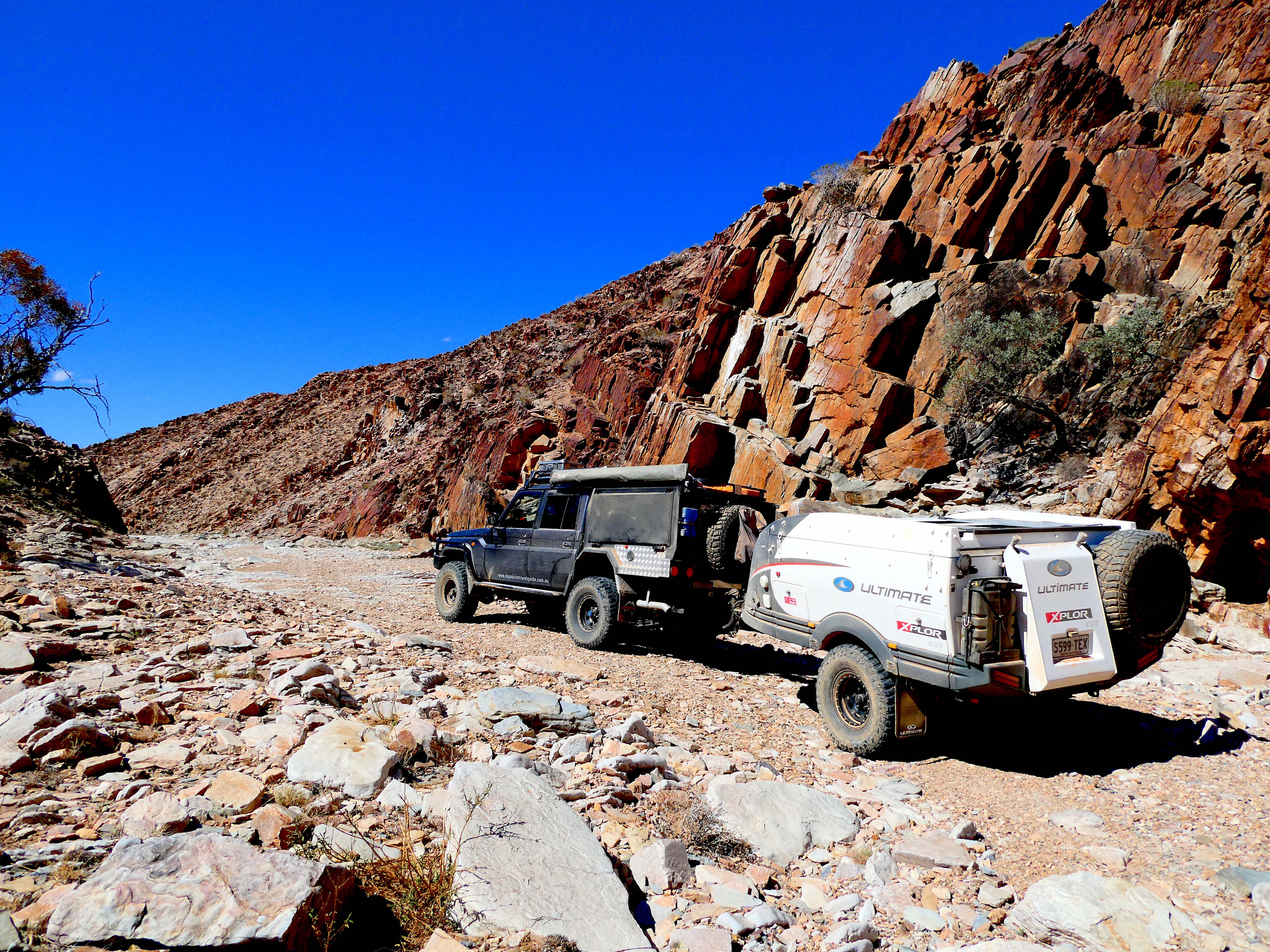
Swinging northeast for a kilometre, the track then reaches the entrance to Mount Nor’West Gorge. This section of the track is along a dry creek bed for well over a kilometre and the only place where we used low range.
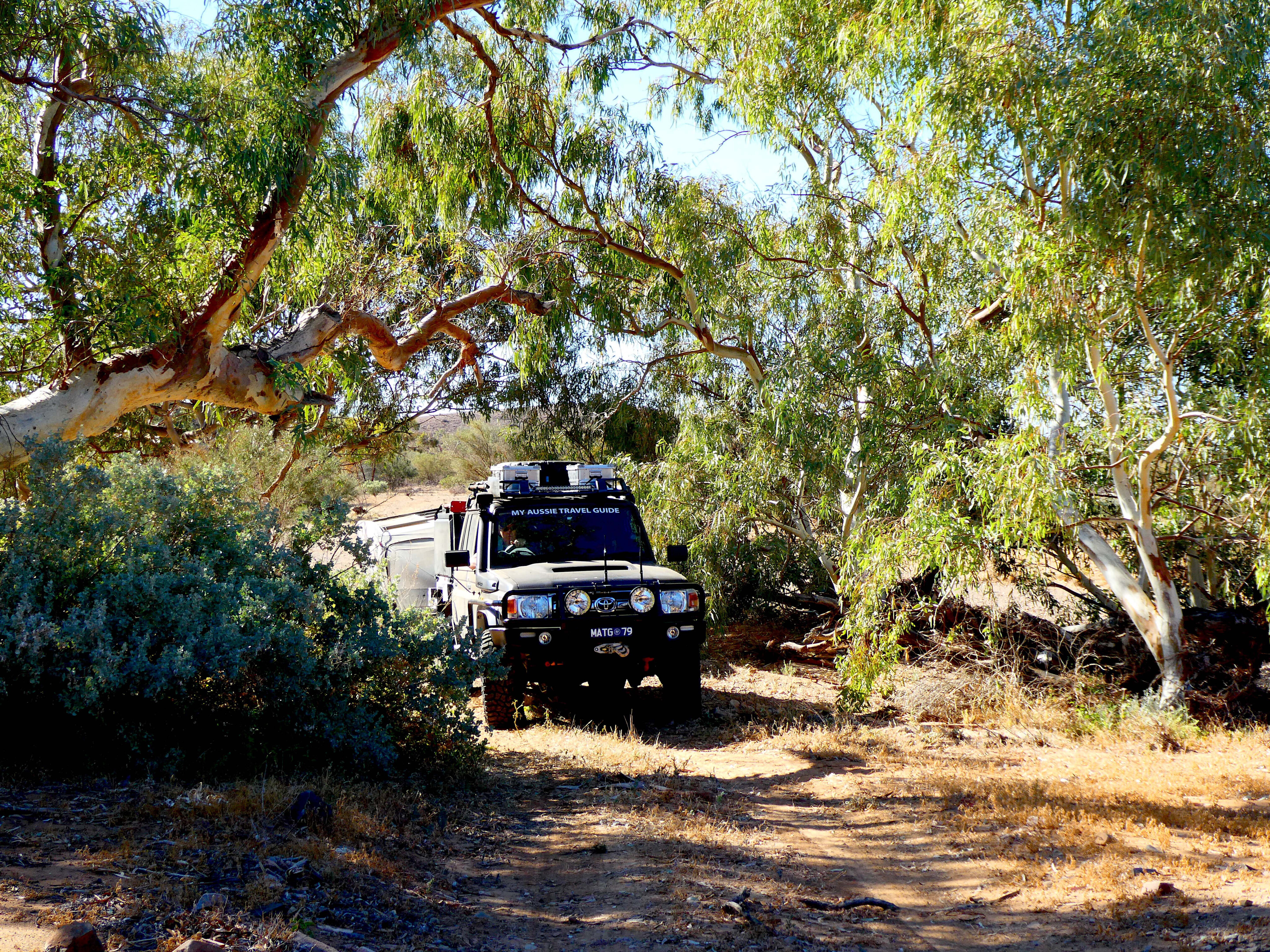
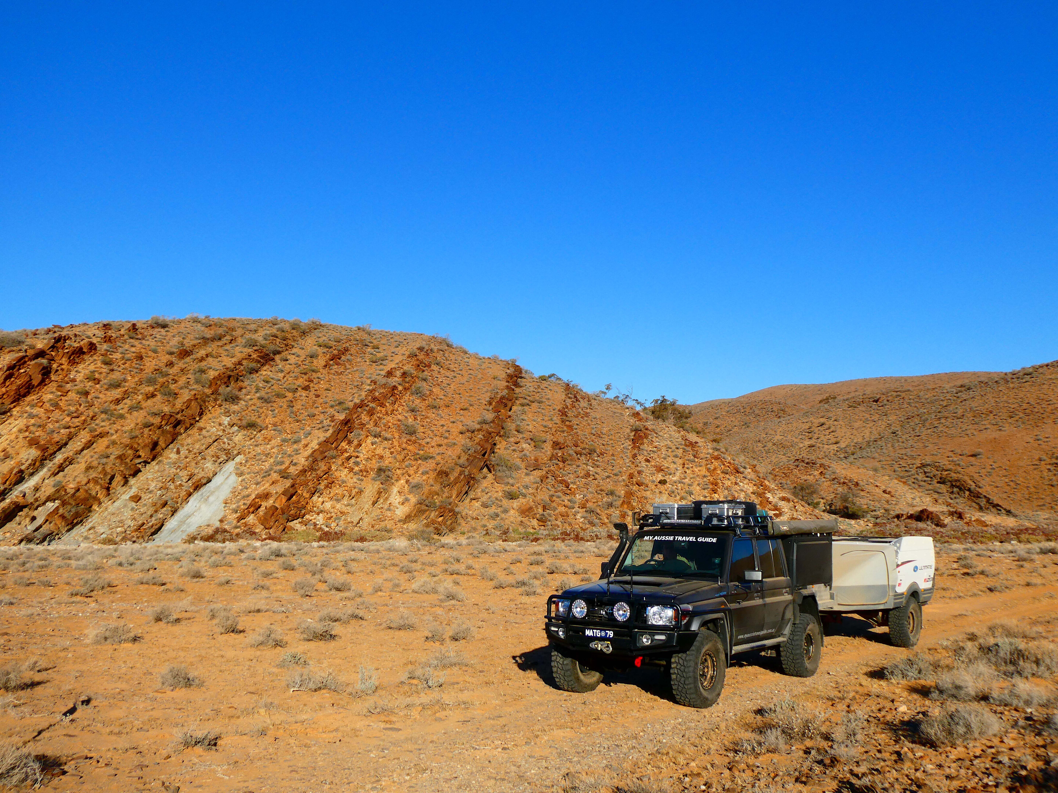
It’s an impressive landscape where you’re surrounded by towering cliffs and a creek bed full of large rocks. It was a slow crawl in the 79 to criss-cross the creek and roll over the rocks with our camper in tow. A spotter came in handy here when the track disappeared to avoid getting hung up on rocks.
With the afternoon shadows growing longer, it was a good time to pull up stumps for the day. Coincidentally, a campground and drop toilet are located only a few hundred metres from the gorge near the Old Mount Nor’West homestead and surrounding ruins.
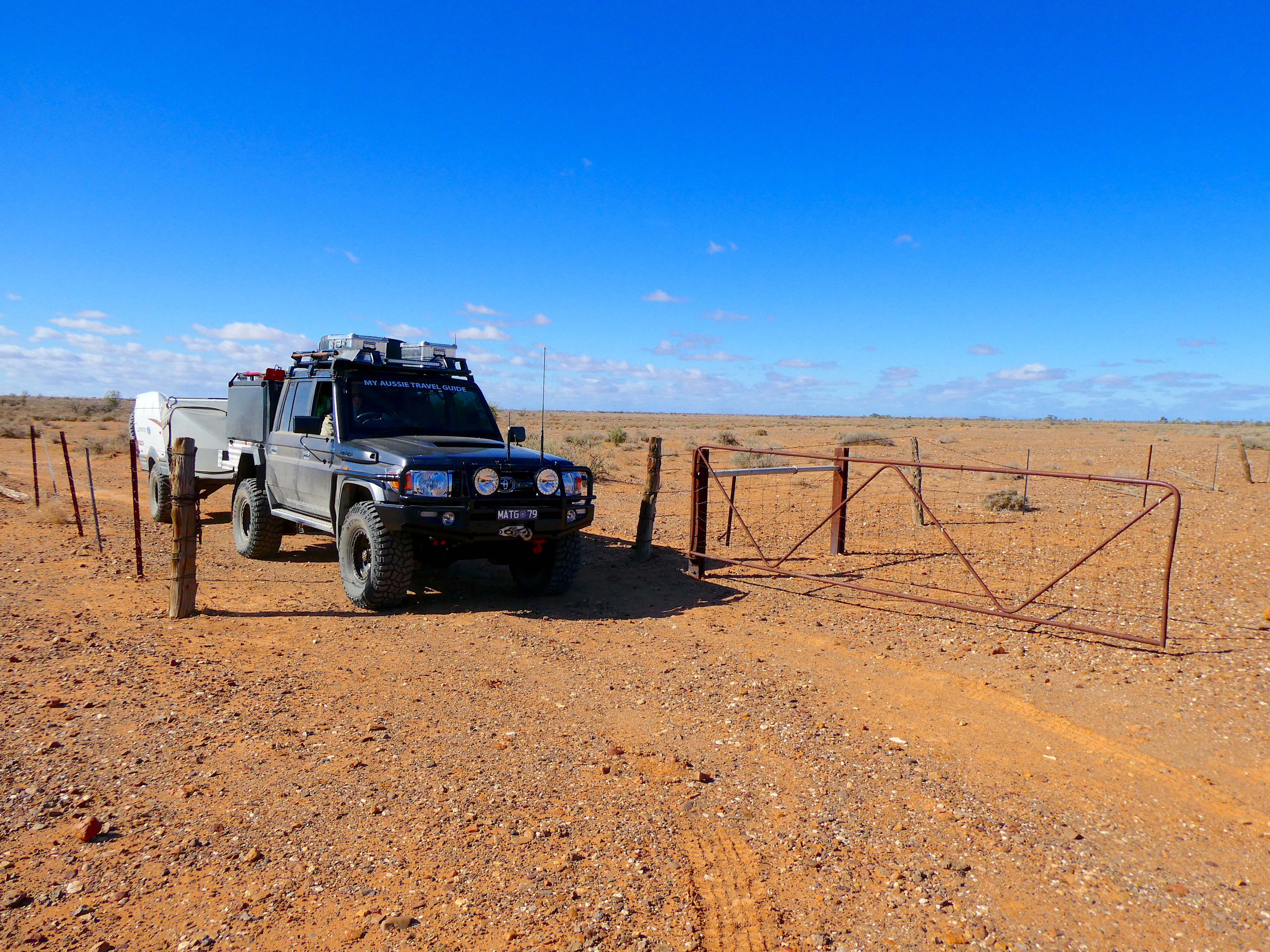
Setting up just as the sun was dipping, it was good to put the feet up and soak in the surroundings.
Nearby you’ll find the station’s old stockyards that sit alongside the campground. After crossing the creek, the old homestead is just a short distance away. This area was originally part of a separate lease to Witchelina called Old Mount Nor’West Station.
The station was established by pastoralist Henry McConville in 1873, but he didn’t hold the lease for long. As is the case with many pastoral properties, getting water for stock was a costly exercise. Before long, Henry ended up carving off a portion of his land to his Witchelina neighbours later that same year.
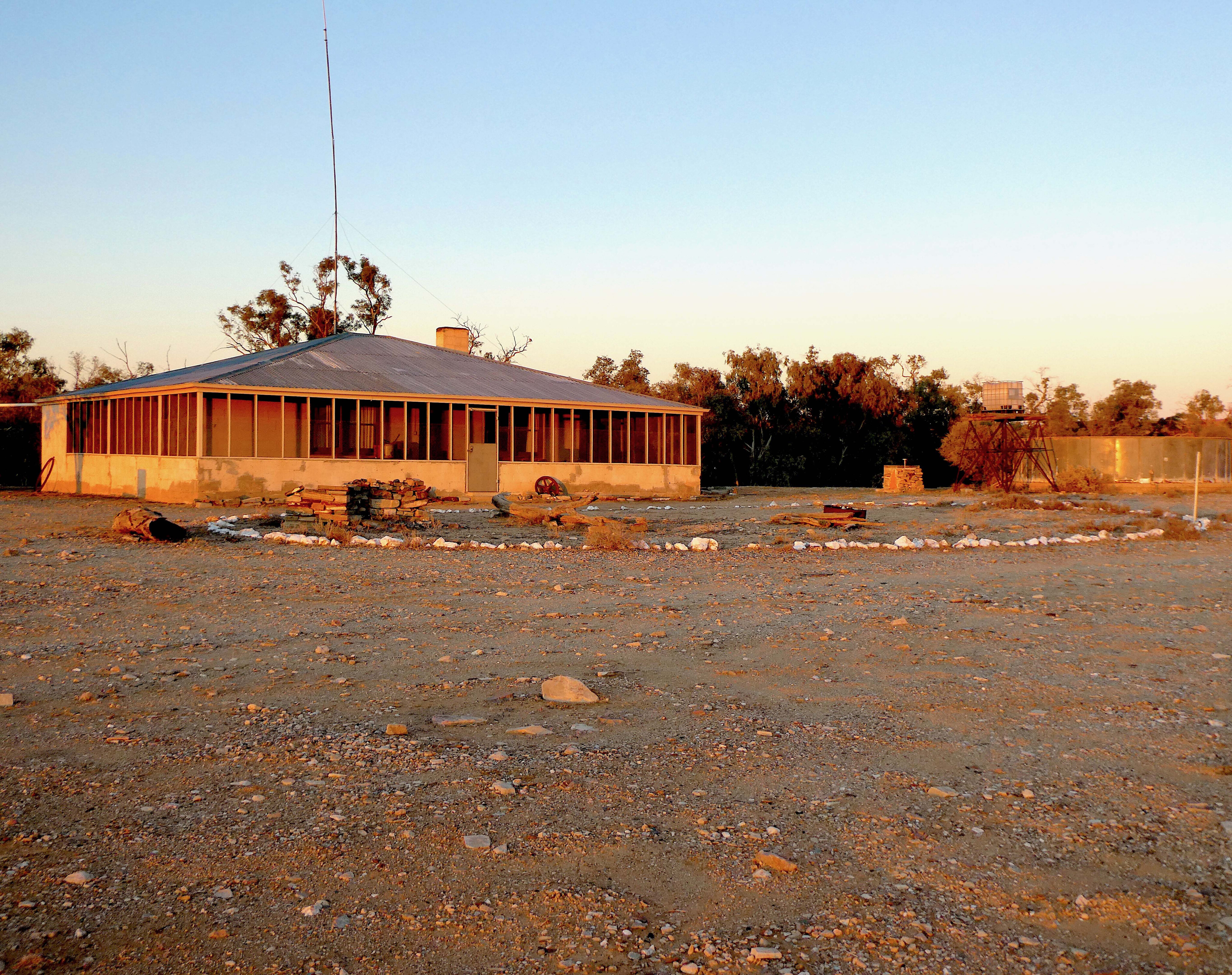
The Old Mount Nor’West homestead has since been restored by the Nature Foundation and available for overnight stays. Alongside the homestead, there are ruins of an original store and a few of the smithy’s bits and pieces scattered about.
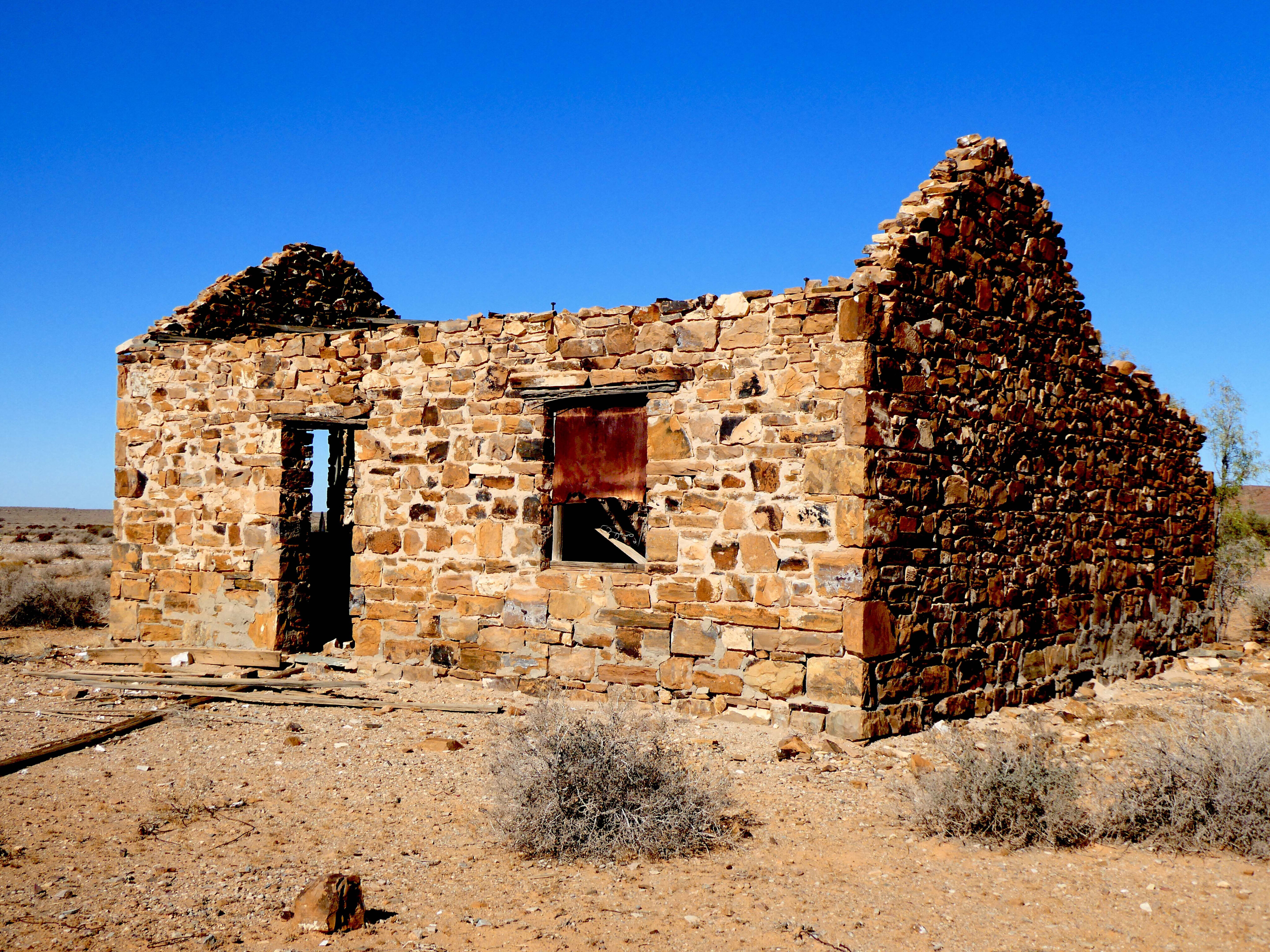
With the number of relics and landmarks to explore around Witchelina, there’s no shortage of experiences to be had. Less than a few hundred metres up the track, we were again out of the vehicle. The substantial ruins of what once used to be old stone shearers’ quarters stood before us.
A quick look around and we found a few shearing implements, plus an old bread oven and a couple of coppers for doing laundry. Nearby were the ruins of the station’s woolshed.
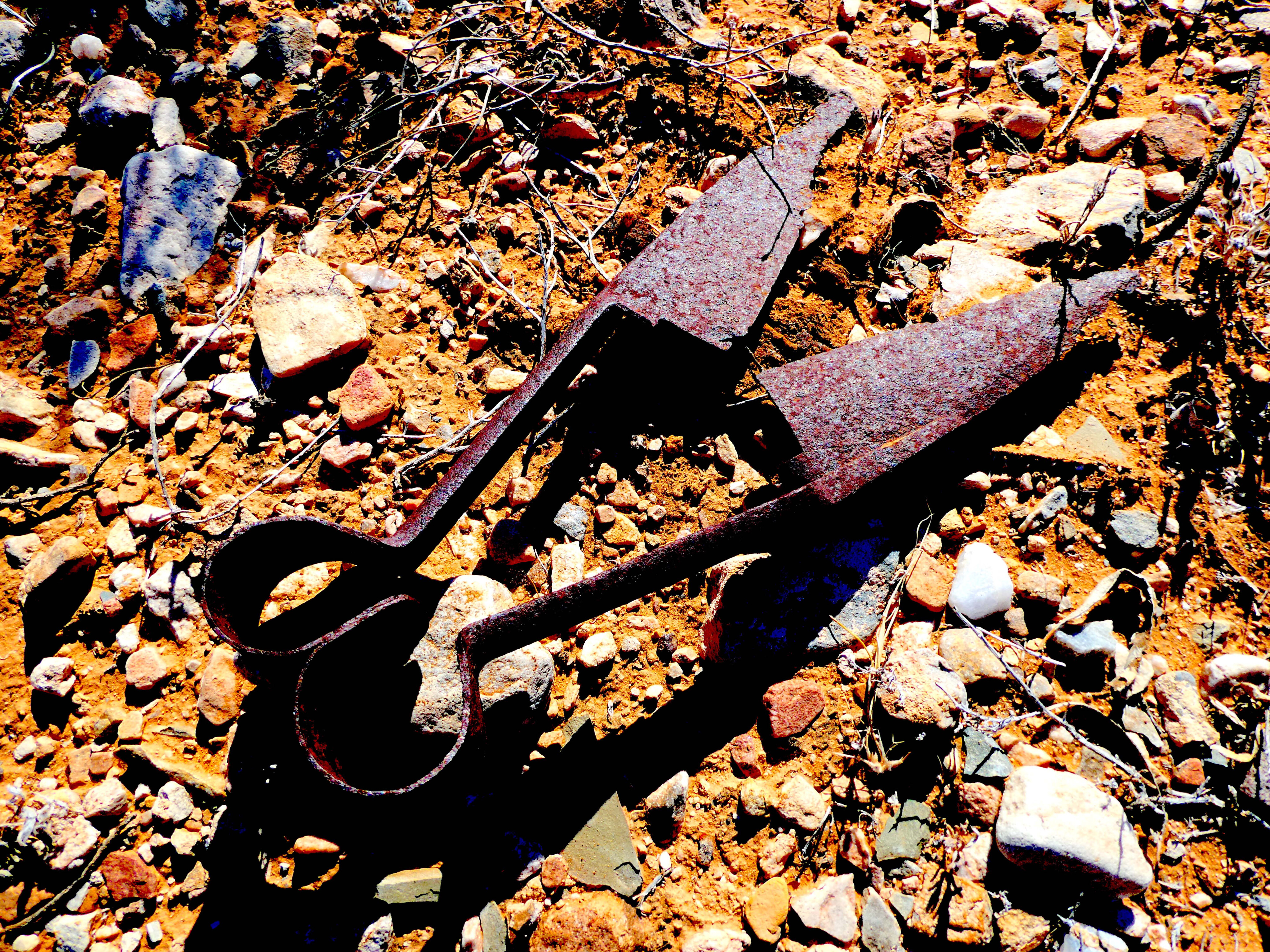
Back in those early days, the woolshed’s 24-blade shearing stands would have been a feast for the senses before swapping over to mechanical shearing in about 1918. In its heyday, the station peaked with 24,000 sheep.
There’s plenty to see around the place with old blade shears, shearing combs, kerosene tins, and other bits and pieces to fossick through.
Thinking the best of the track was already behind us, we found it still had a trump card up its sleeve. Ahead of us lay a very impressive 19-span bridge belonging to the standard gauge railway that made for a cracking lunch stop.
From the top of the bridge, we soaked in spectacular 360° views of the reserve and the magnificent Willouran Range in the distance. It was a fitting way to end the track.
While Witchelina and its tracks may not be as well-known as its Oodnadatta Track neighbour up the road, it’s got so much going for it. As well as offering up a real good insight into the region’s pastoral, railway and geological history, it has some of the most diverse and spectacular outback landscapes you’ll find in SA’s far north.
And if you can coincide your visit with the Farina Bakery opening times, then you’re onto a real winner. It might be a big call, but we think the Witchelina Track could be one of the state’s best kept secrets.
More information
Witchelina Nature Reserve is located in South Australia’s north between Farina and Marree. The reserve has five different loop-style tracks that are best suited to 4x4s with high clearance.
The Marree-Old Mount Nor’West Gorge loop starts and ends in Marree. It’s approximately a 138km round trip which includes 70km on dirt.
This area is remote and isolated, so carry food, water and comms. Campfires are only permitted in designated areas on the reserve and BYO firewood. From Farina, fuel is available from Marree to the north (64km) and Lyndhurst (51km to the south).
Visit Nature Foundation’s website at www.naturefoundation.org.au [↗️] for more information.

COMMENTS