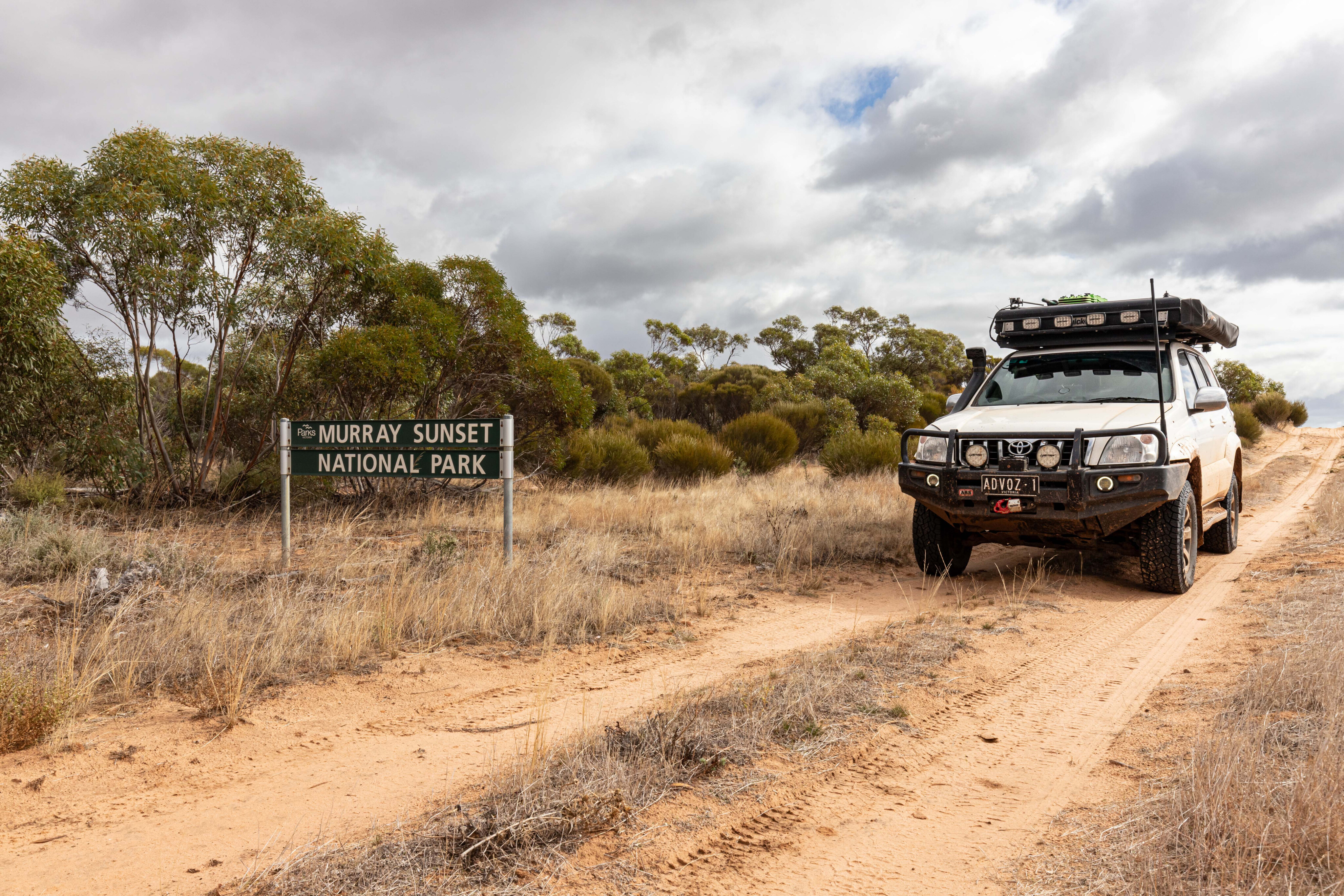
The sun was shining, and the temperature was climbing, perfect conditions to explore Murray-Sunset National Park and surrounding areas.
With mind-blowing nature and unique history, spectacular silo art and enticing breweries, sandy tracks and epic camping, spending a few days here is something not to be missed.
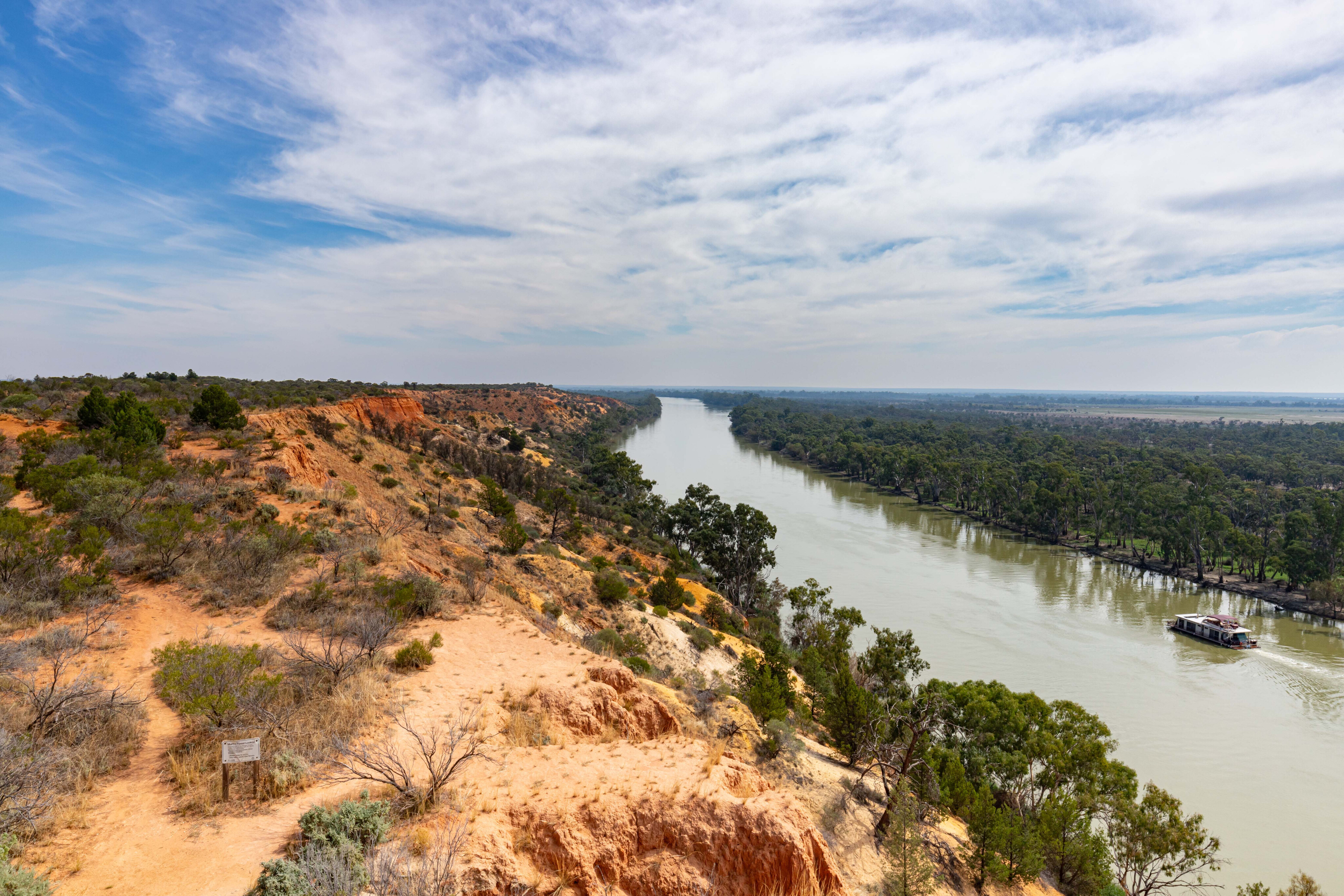
My adventure began across the South Australia border just outside of Renmark. The stunning Heading Cliff lookout is a must see. The colours of the cliff face change according to the time of day and the weather conditions, with sunset a popular time to experience this special place, whiling away some time watching houseboats meander along the Murray River as it flows below you.
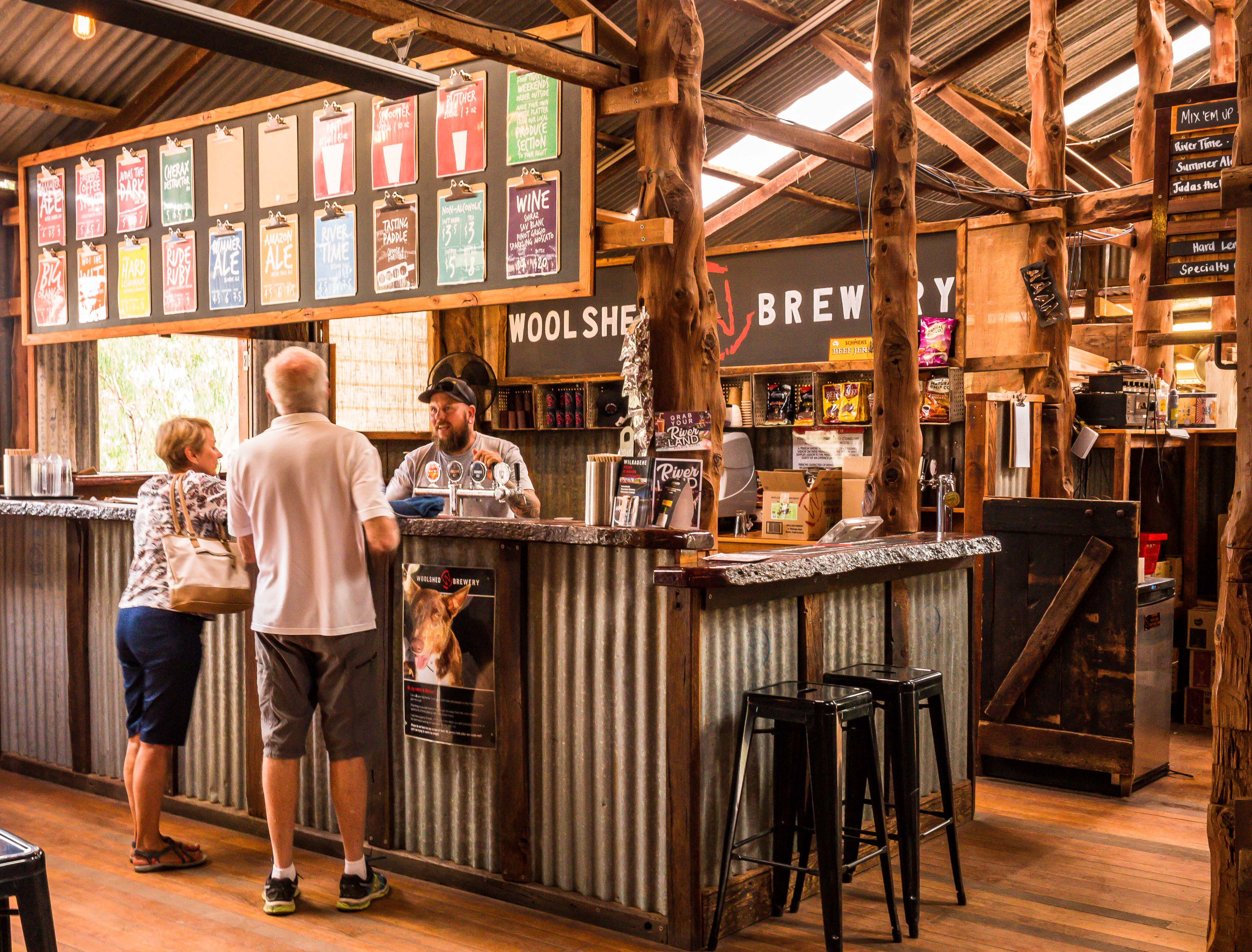
The nearby Woolshed Brewery also offers great views of the river and of course a range of locally brewed beers. There are free barbecue facilities here and on weekends there are food trucks serving delicious fare. The brewery is open from Wednesday to Sunday from 11am to 5pm.
My final stop before hitting the Border Track was at the old Customs House at the end of Murtho Road. Constructed in the 1900s, it served as an excise collection point on the Murray River for goods and services travelling to South Australia on paddle steamers.
These days it is a general store with river access and a boat ramp nearby. The Border Cliffs Customs House Wetland Walk also begins and ends here; it’s a 4km loop that meanders through the wetland supported by numerous creeks that flow through the reserve.
Backtracking along Murtho Road, I took a left onto Millewa Road, travelling 2.8km before crossing over the cattle grid into Victoria.
Turning south onto the northernmost point of the Border Track I soon reached White’s Cairn survey marker, a replica of the original one that was erected in 1850 during the first Victoria/South Australia border survey by Edward White and Henry Wade. There is also a storyboard that commemorates the history and significance of the site.
I followed the Border Track for a while before turning onto Tanks Track. I’ve driven the Border Track from start to finish several times and wanted to explore a section of the northern reaches of Murray-Sunset that I hadn’t driven before.
The sandy track led 10km east to the junction with Berribee Tank Track, another sandy track with more dunes as it headed 13km south to the Sturt Highway. I spotted an echidna crossing the track and it tried to bury itself into the dune while I tried to snap a shot.
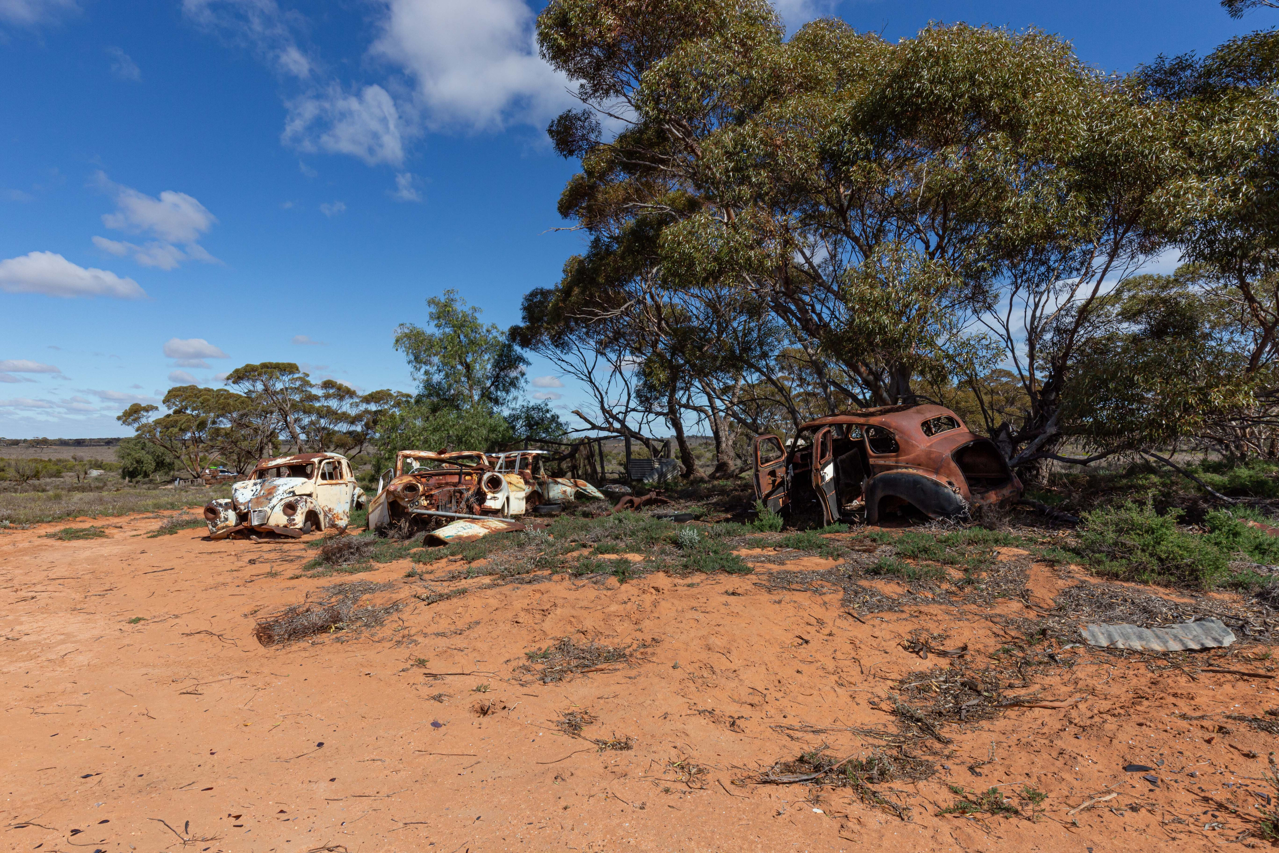
It was getting late in the day, so upon reaching the Sturt Highway, I took a right turn then a quick left onto Taparoo Track that passes the old Taparoo Homestead site, a place worth exploring with a handful of old vehicles still lying around. I continued along the track, eventually crossing the open Copi Plains before reaching Settlement Road. Keep an eye out for kangaroos and emus who enjoy the bountiful expanse.
Upon reaching the Shearers Quarters Campground, I was happy to be the only person there, and I enjoyed the peace with only the birds and the wind whistling through the Native Cypress pines for company, enjoying the golden sunset and the starry night sky.
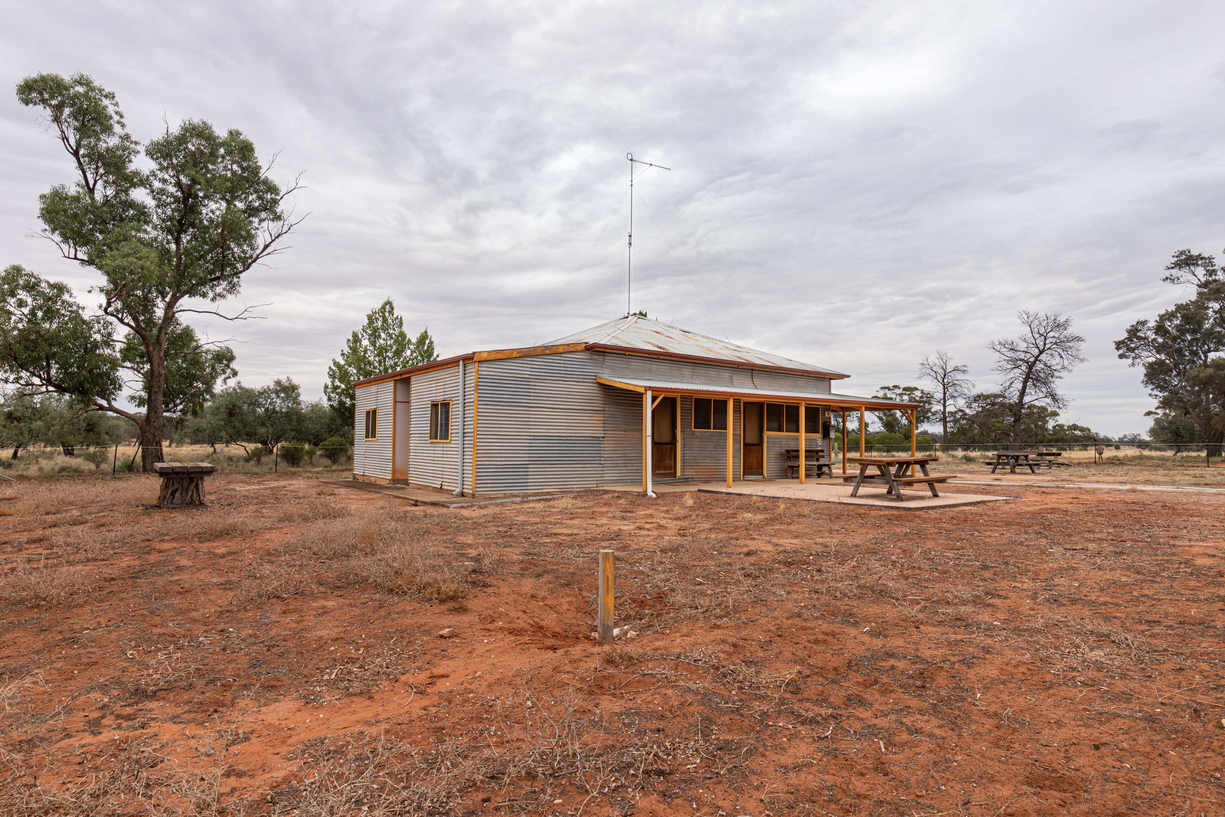
The campground has firepits, tables and a pit toilet, while the historic Shearers Quarters cottage can be pre-booked and sleeps up to 10 people, and features a gas fridge, oven and stovetop, flushing toilets and hot showers.
Sometimes, there is non-potable water available, but you must supply your own drinking water. It’s BYO firewood too.
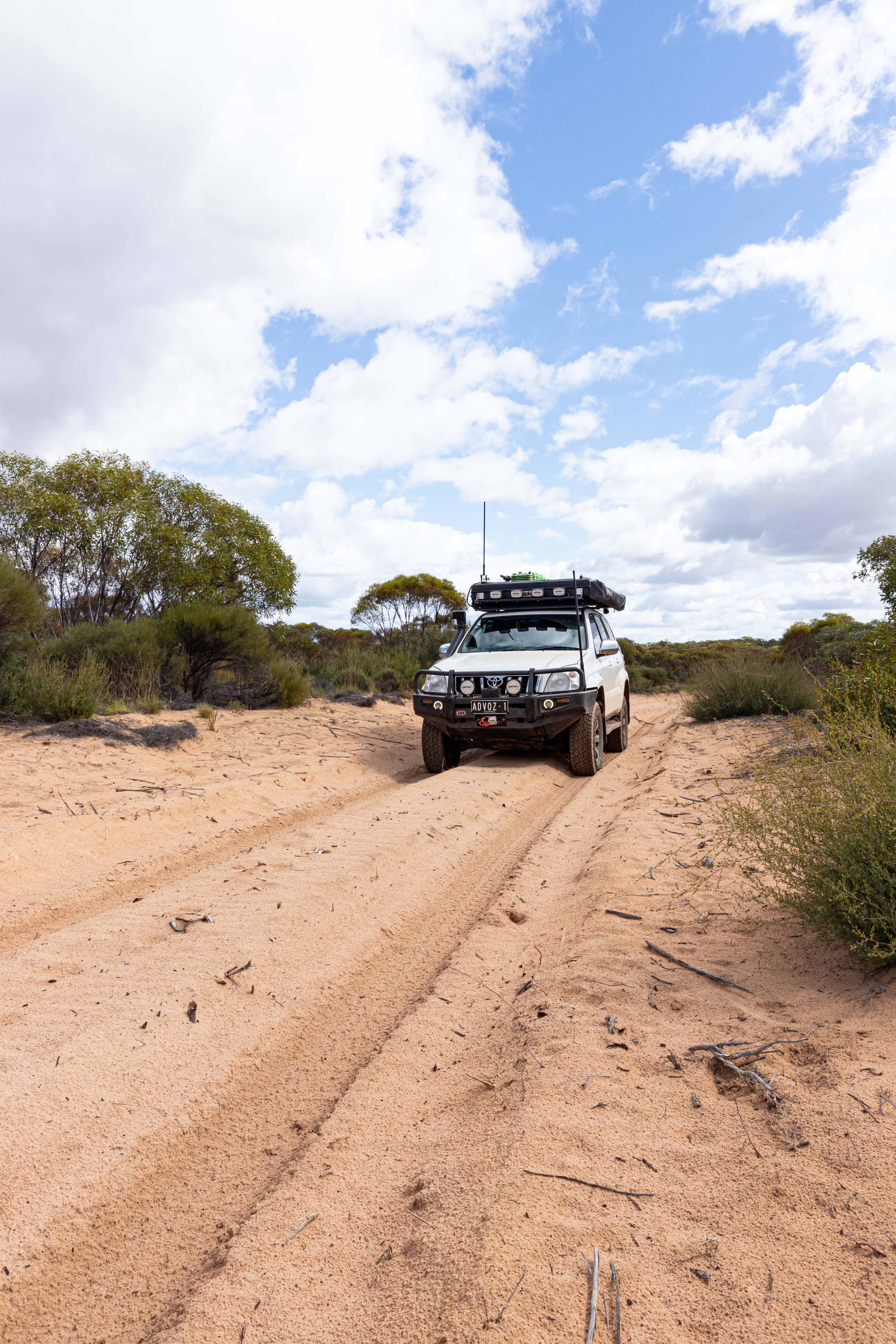
The clouds had rolled in overnight, and the temperature had dropped, and after a quick breakfast I hit the tracks again, following Settlement Road 8km to the Border Track and turning south. It is slow going along this section of the track, with tight twists and turns, dunes and lots of whoopsie-dos. It took nearly two hours to travel 16km to Pheeneys Track.
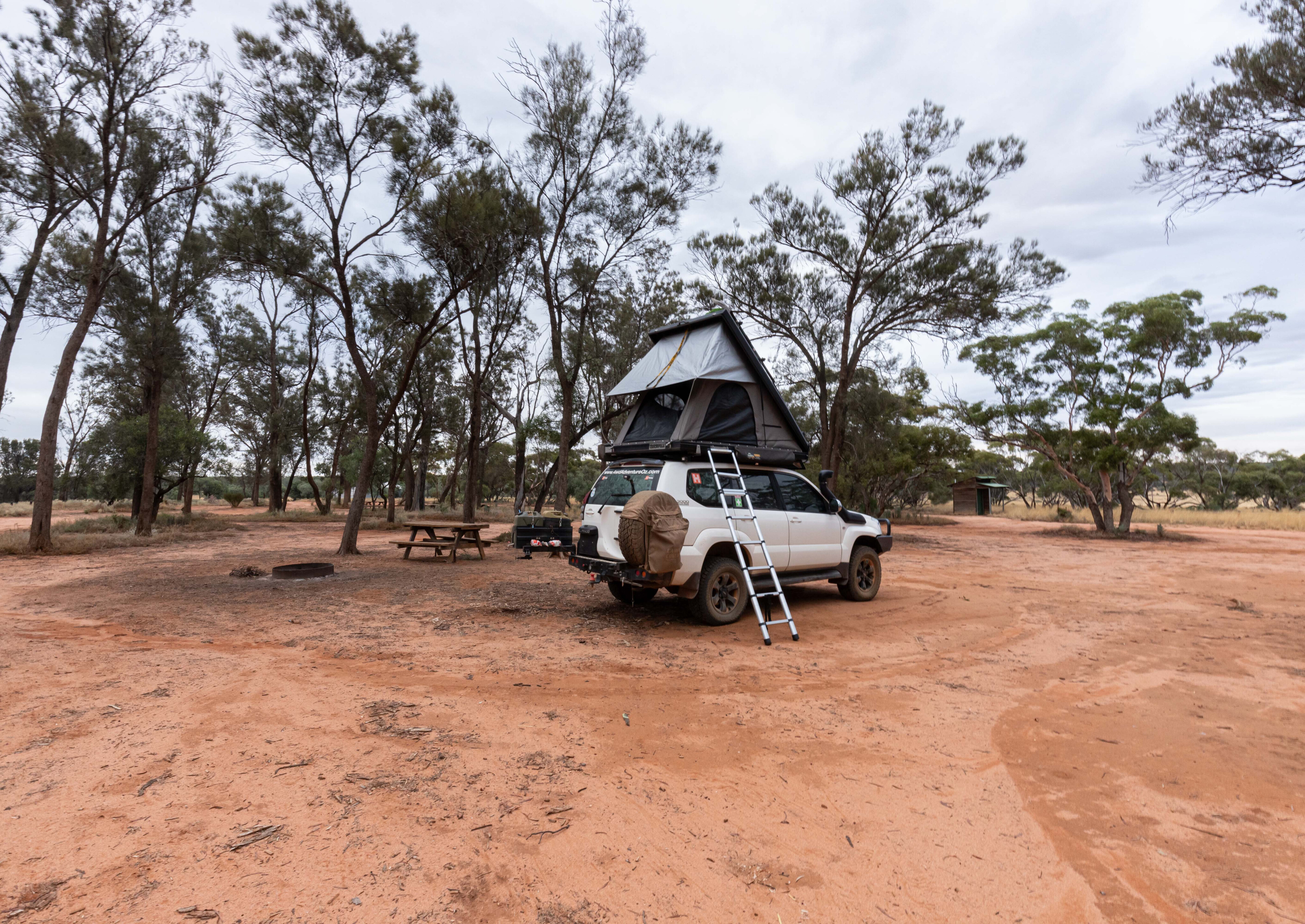
The Border Camping Area is located nearby, where I enjoyed an early lunch, and I still hadn’t come across anyone else so far.
Continuing along Pheeneys Track for 9km, I decided to follow the Mallee South Bore Track for 18km to check out the natural rock hole; you’ll encounter a bit of soft, deep sand on this track. Covered with wire mesh to prevent animals and humans from falling in, there was plenty of water in the hole.
Retracing my steps back to Pheeneys Track, I headed east for 40km to Bambill South Track. With Pheeneys Track following the swale between dunes, it is easy going. Heading north for 19km it wasn’t long before Settlement Road was reached.
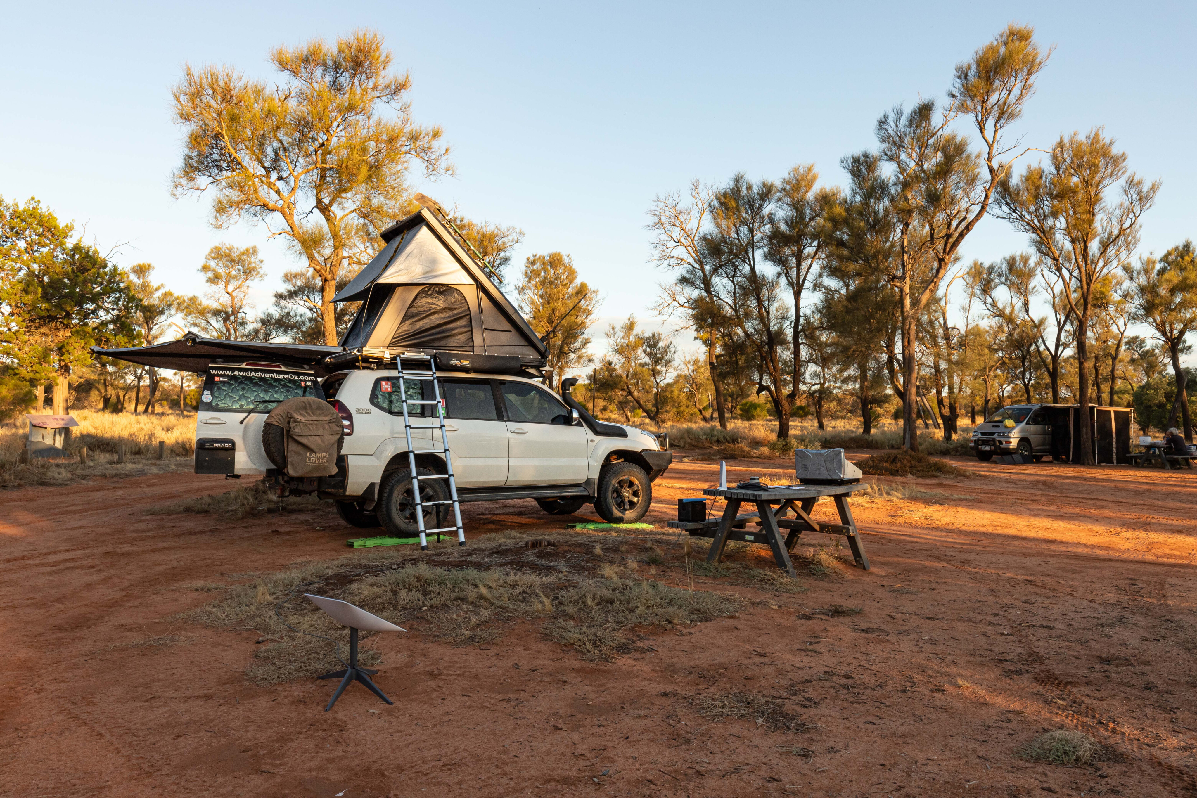
Turning east, my destination was Rocket Lake 41km away, and as the afternoon sun burnt the clouds off, it was a beautiful drive.
Settlement Road, for the most part, borders the national park and wheat belt properties, making it a thoroughfare for kangaroos and emus, so keep an eye out as they aren’t afraid to jump in front of you… or even into you. An emu took out the rear passenger door on a mate’s new 100 Series a few years back and bounced off, leaving an expensive dent.
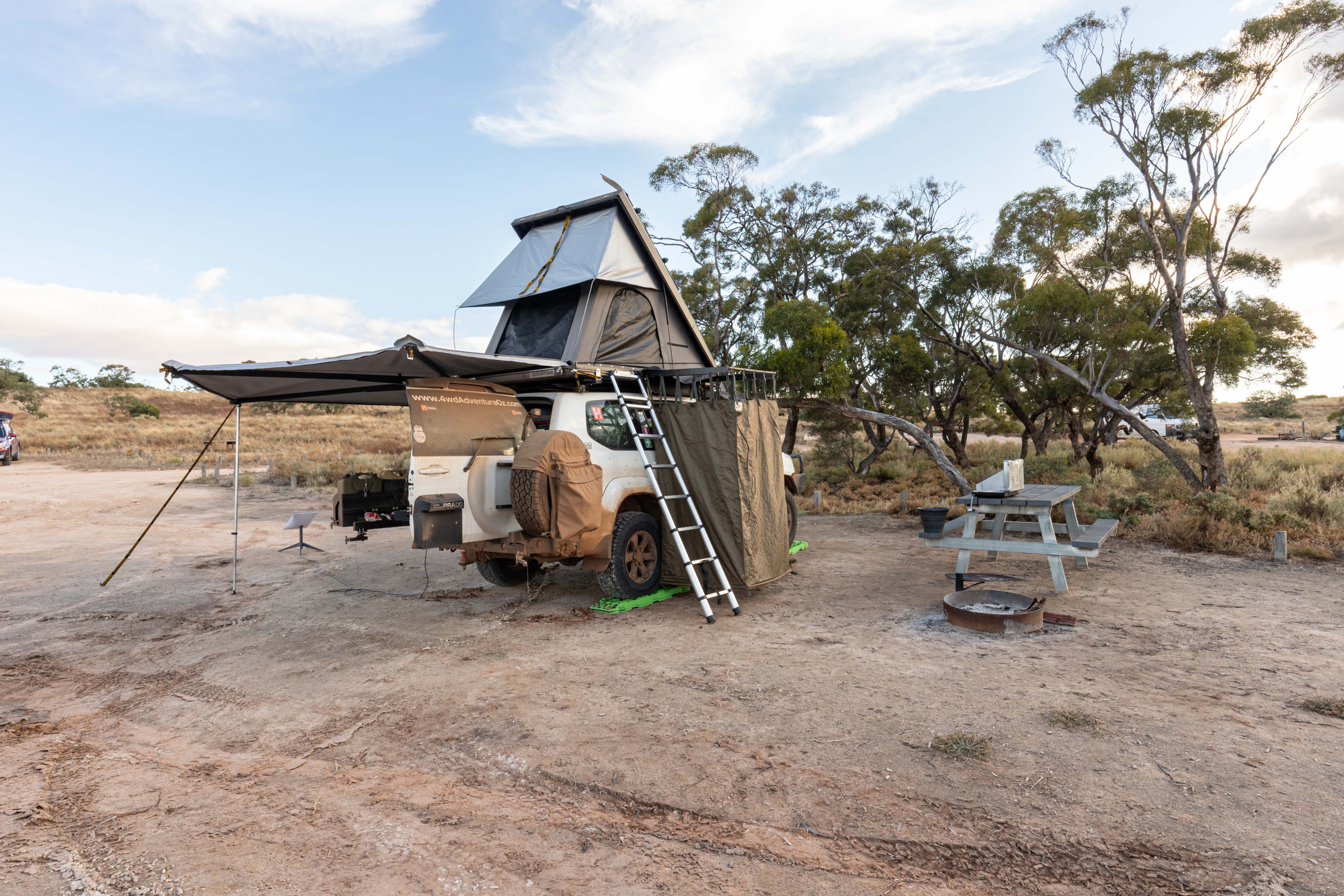
Pulling into the campground at Rocket Lake, there were a couple of other groups set up in caravans. I selected a reasonably flat spot next to a table and quickly erected my rooftop tent and awning before relaxing with an ice-cold beer from the fridge.
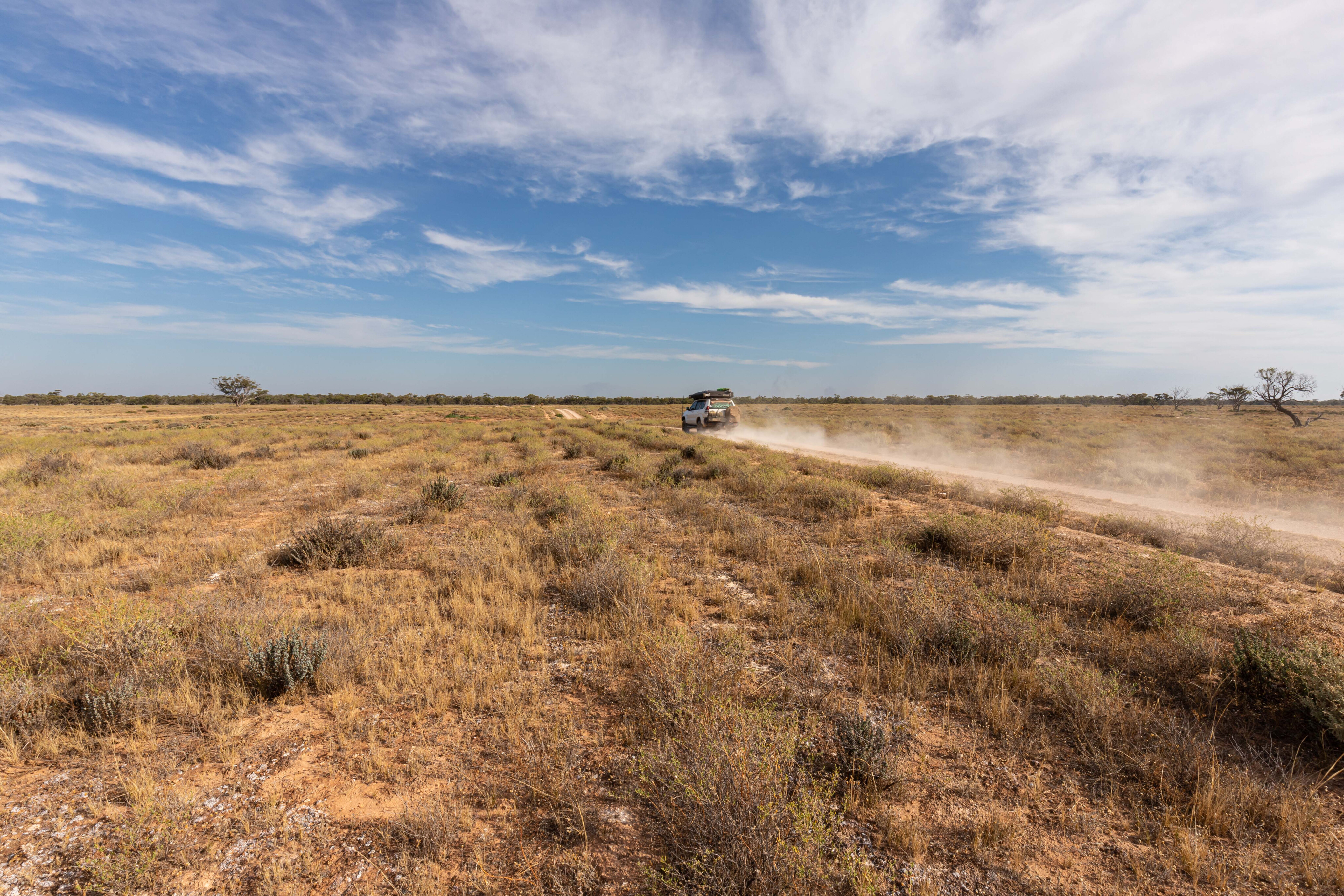
On this trip, I was giving Starlink a run for the first time and, so far, I have been very impressed with the speed of connection and the speed of the internet once it locks onto a satellite.
As the sun set I enjoyed a home-cooked beef casserole, washed down with a glass of red wine. The night sky was full of stars and thankfully my neighbours went to bed early and I enjoyed the serenity.
Rocket Lake was named by workers on the rail line as the bosses sent up a rocket to let them know when it was time for smoko. These days it is a wide-open expanse and hasn’t seen water in many years. Waking to clear blue skies there was no indication of what was to come weatherwise.
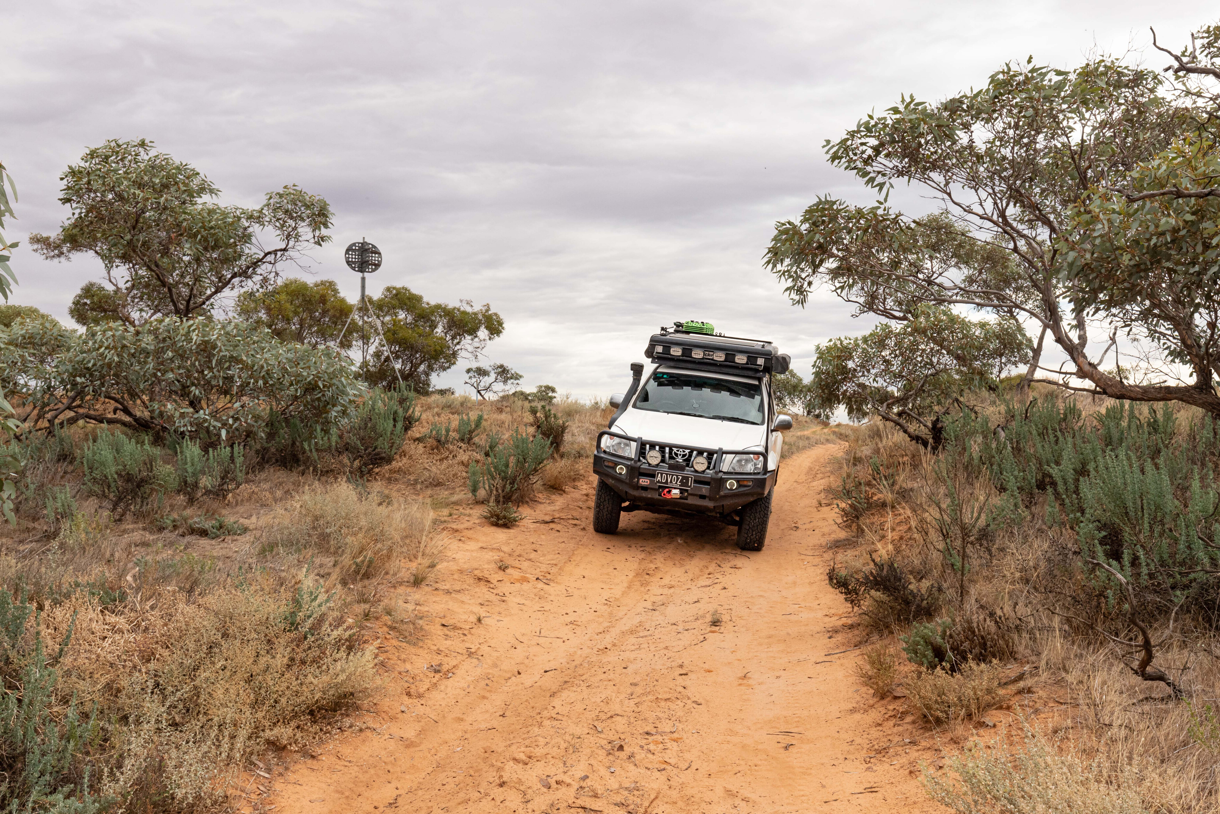
I decided to explore the park a bit more before heading out to Ouyen to fuel up. Nowingi Line Track is where the railway track used to run, and you can still find iron spikes along its length.
The track is straight, flat and easy going once the right speed is reached to negate the corrugations. Henscke Track heads north, across black soil plains covered in saltbush, and for the first time this trip I came across some fellow four-wheel drivers.
Midnight Tank Track eventually links up with Settlement Road, but I decided to continue following it until I reached Underbool Track. Heading south along Underbool I jumped back onto the Nowingi Line to drive 8km to get back to Rocket Lake Track.
Rocket Lake Track crosses many dunes and can be challenging when it is hot and dry, and it was a nice change from the mostly flat tracks I’d driven so far.
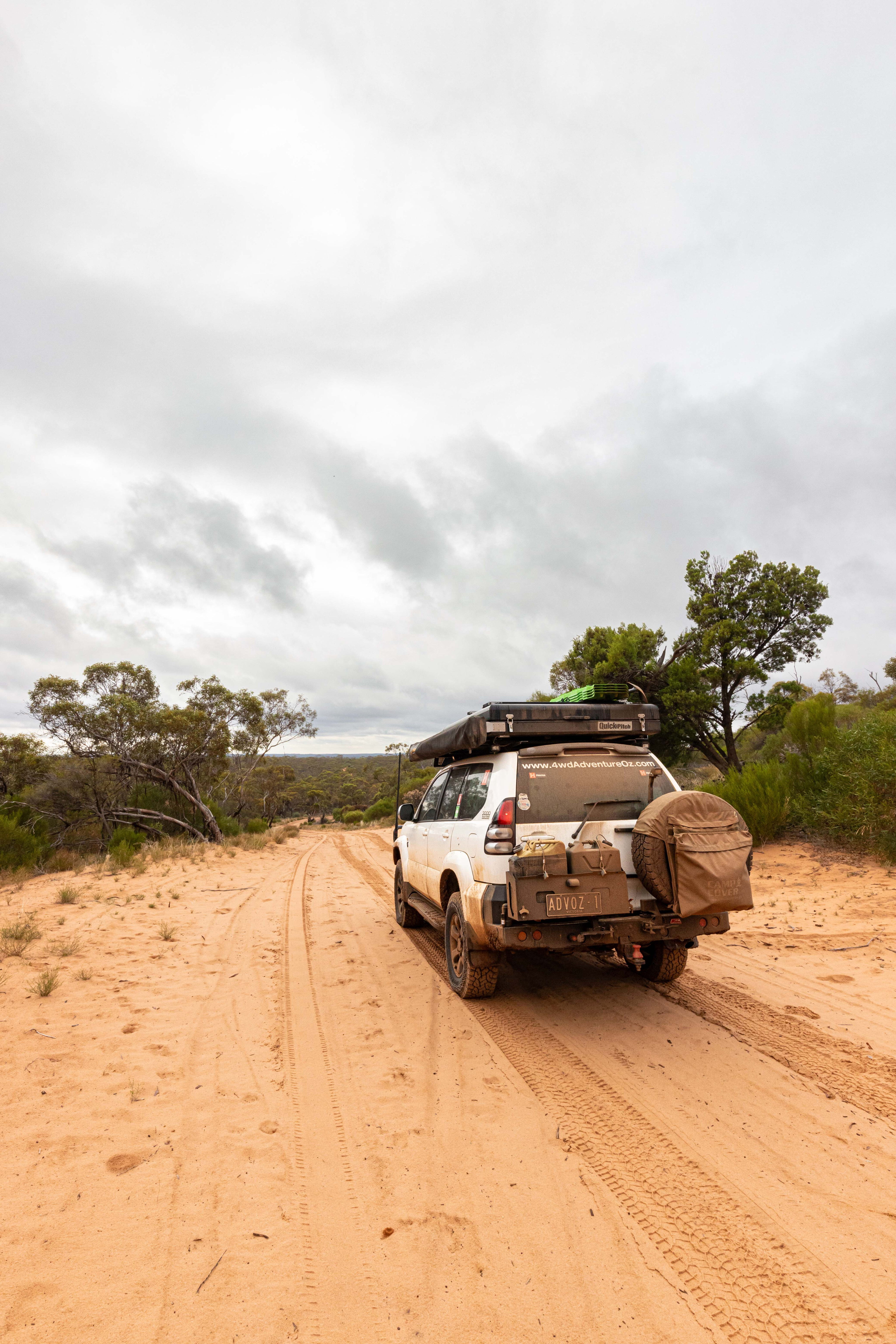
Turning onto Last Hope Track led me to One Tree Plain Track, which is one I wouldn’t want to tackle when wet as it skirts one salt lake and then crosses another along its route.
Once out of Murray-Sunset, the drive to Ouyen is via the Mallee back roads with fields of wheat and canola wafting in the wind. I was surprised to see the new 500-megalitre recreational lake on the outskirts of Ouyen.
What was once the abandoned Ouyen Reservoir is now open for water sports, and boasts manicured lawns, a wharf, jetty, toilet block and barbecue facilities. There are even whispers that camping may be allowed in the future.
Once fuelled up, I started heading back the way I’d come, though this time I jumped onto Honeymoon Hut Track, and that is when the skies opened up and dropped a bucketload of rain across the park.
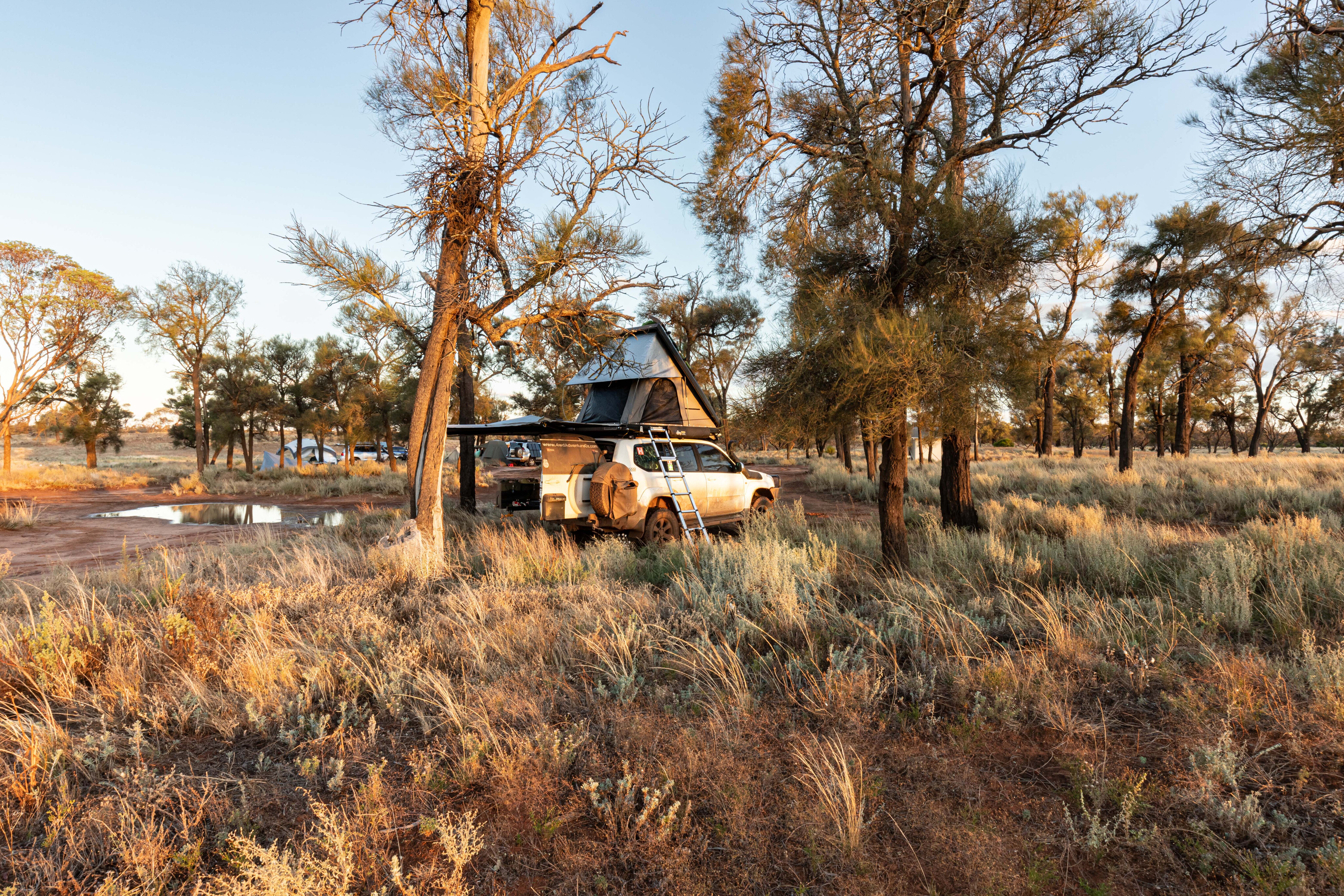
Having just swapped my muddies to all-terrains, traction was reduced on the clay-based track, and I had to slow down to stay on it. With Mopoke Hut my planned stop for the night, I wasn’t sure I would get there.
The 21km drive to Mopoke Track was challenging but I was following fresh tyre tracks, so I knew that so far the track wasn’t impassable. Mopoke Track is one of my favourites, with deep sand and a couple of sizeable dunes to cross, and the rain had tamed it dramatically. I had forgotten about the black soil lakebed that had to be crossed and when I reached it, the pit in my stomach grew.
Momentum was my friend along this section, and even though the back end of the Prado wanted to lead the way, I was able to stay on track and keep moving forward until I reached the sandy section of track. Beads of sweat covered my brow and it felt like I’d held my breath for the entirety of the crossing.
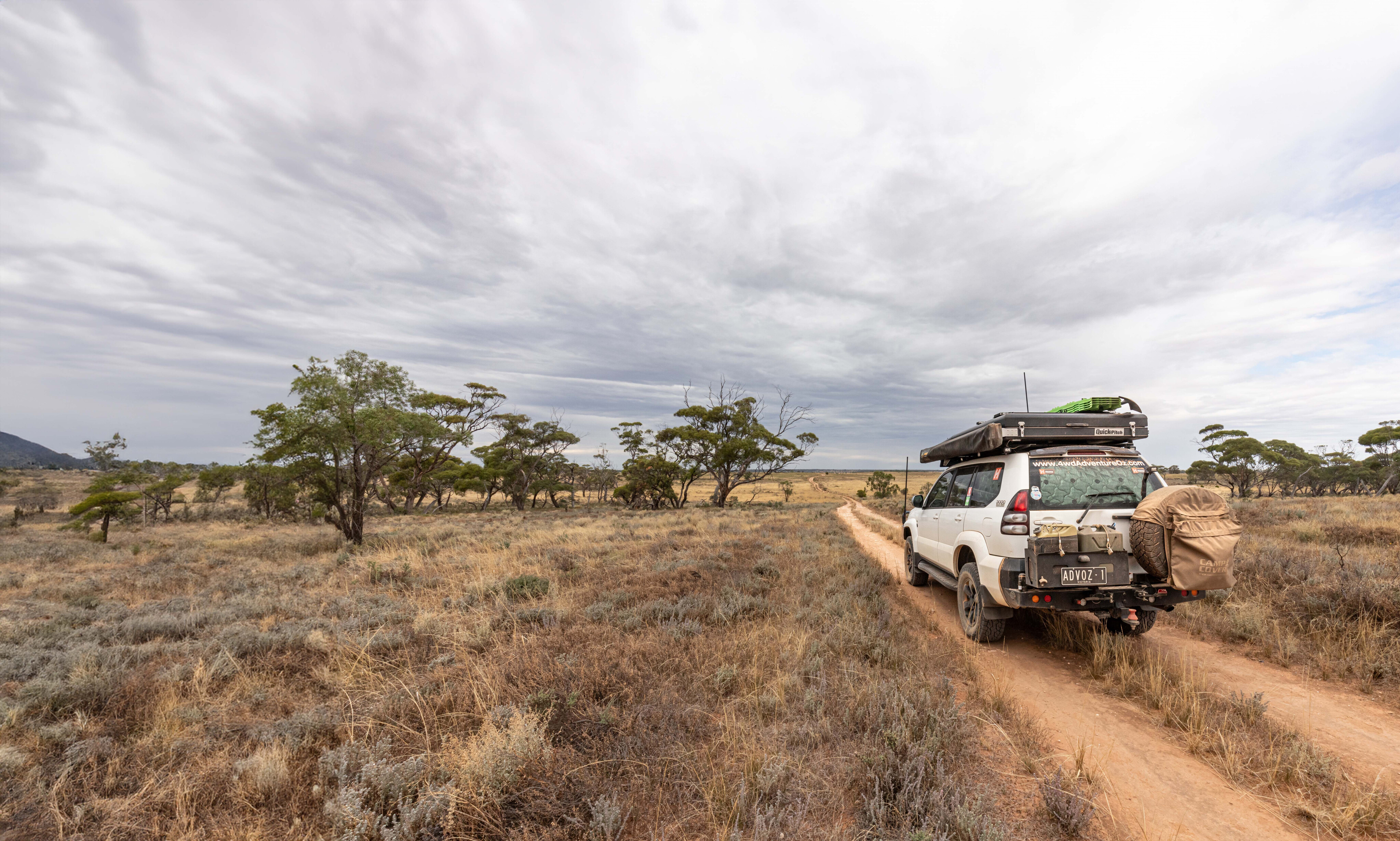
The rain stopped and the sun returned on a sodden Murray-Sunset and the campground at Mopoke Hut was busy. I found a spot beneath some trees and cracked a can before setting up for the night.
Mopoke Hut was constructed in 1962 by Bill Henschke as somewhere to rest after driving a mob of his cattle on horseback from his ‘Yaramba’ property, or after mustering and yarding.
Bill relinquished his grazing licence to the government in February 1990 stipulating that the hut should remain as a place for travellers to stay. Unfortunately, the hut was badly vandalised in 1991, but was thankfully rebuilt by the Mildura 4x4 Club.
The sky was blue with a mix of grey clouds hovering around when I awoke, and I knew it could be a challenge to get to the Lake Crosbie campground at Pink Lakes.
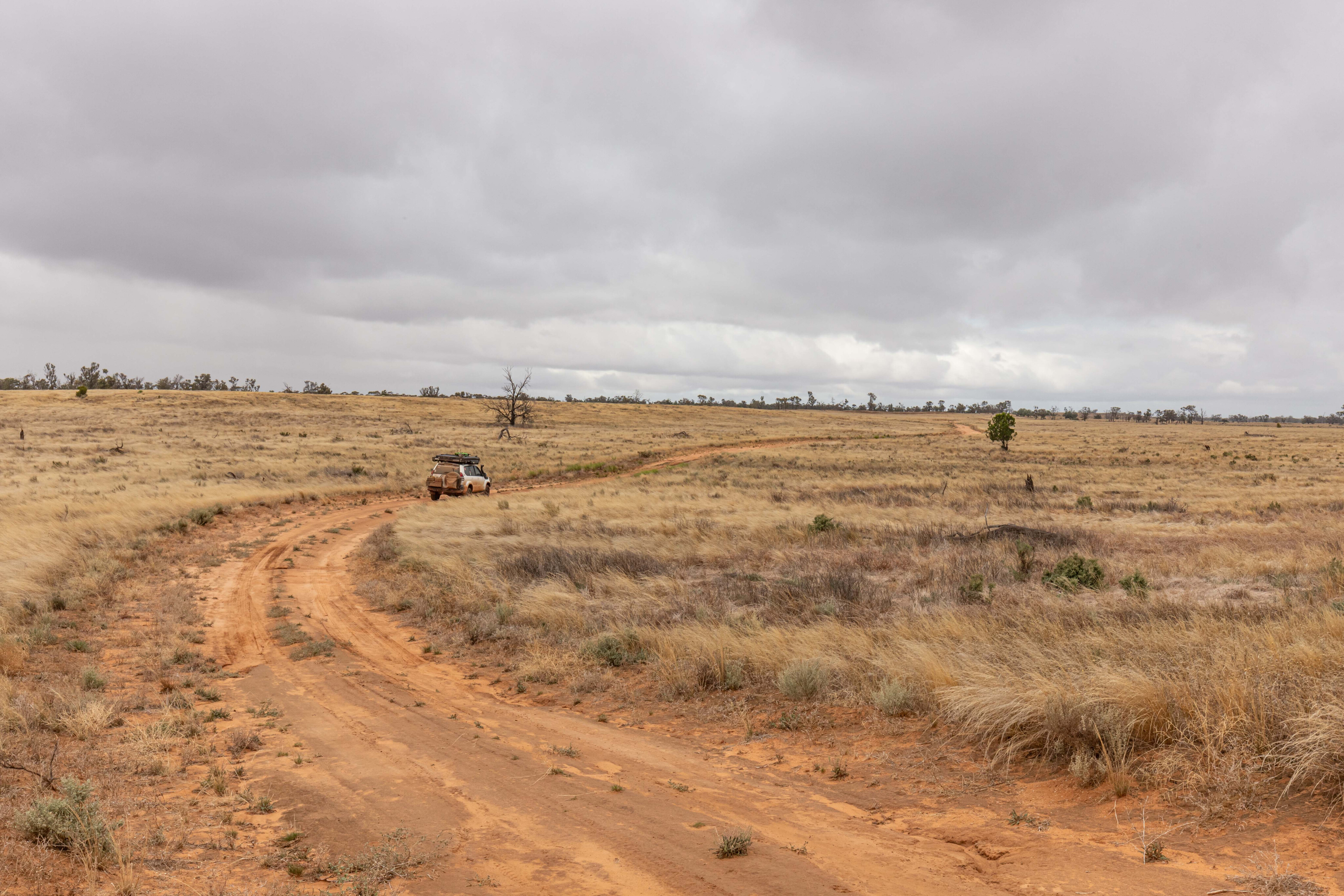
Making my way west along Last Hope Track, I was stopped in my tracks with water covering an old lakebed ahead of me. Thankfully I managed to perform a three-point turn without becoming bogged and I retraced my tracks back to Mopoke Track.
It was carnage at the junction of Mopoke, Rocket Lake and Pheeneys tracks, with water, deep wheel ruts and splattered mud everywhere. It was obvious that most of the campers at Mopoke Hut had come through the junction, albeit with plenty of difficulty. Skirting the worst sections, I was able to get onto Pheeneys Track and follow it for 14km to Underbool Track.
The drive down to Mount Crozier Track was good going, with little evidence of the previous day’s downpour, although it started to drizzle on the approach to Mount Crozier, the tallest spot in Murray-Sunset.
There is a campground here as well as a short walk before a steep climb to the top of the mountain. The views across the park are spectacular usually, but today all I could see was where the rain was falling.
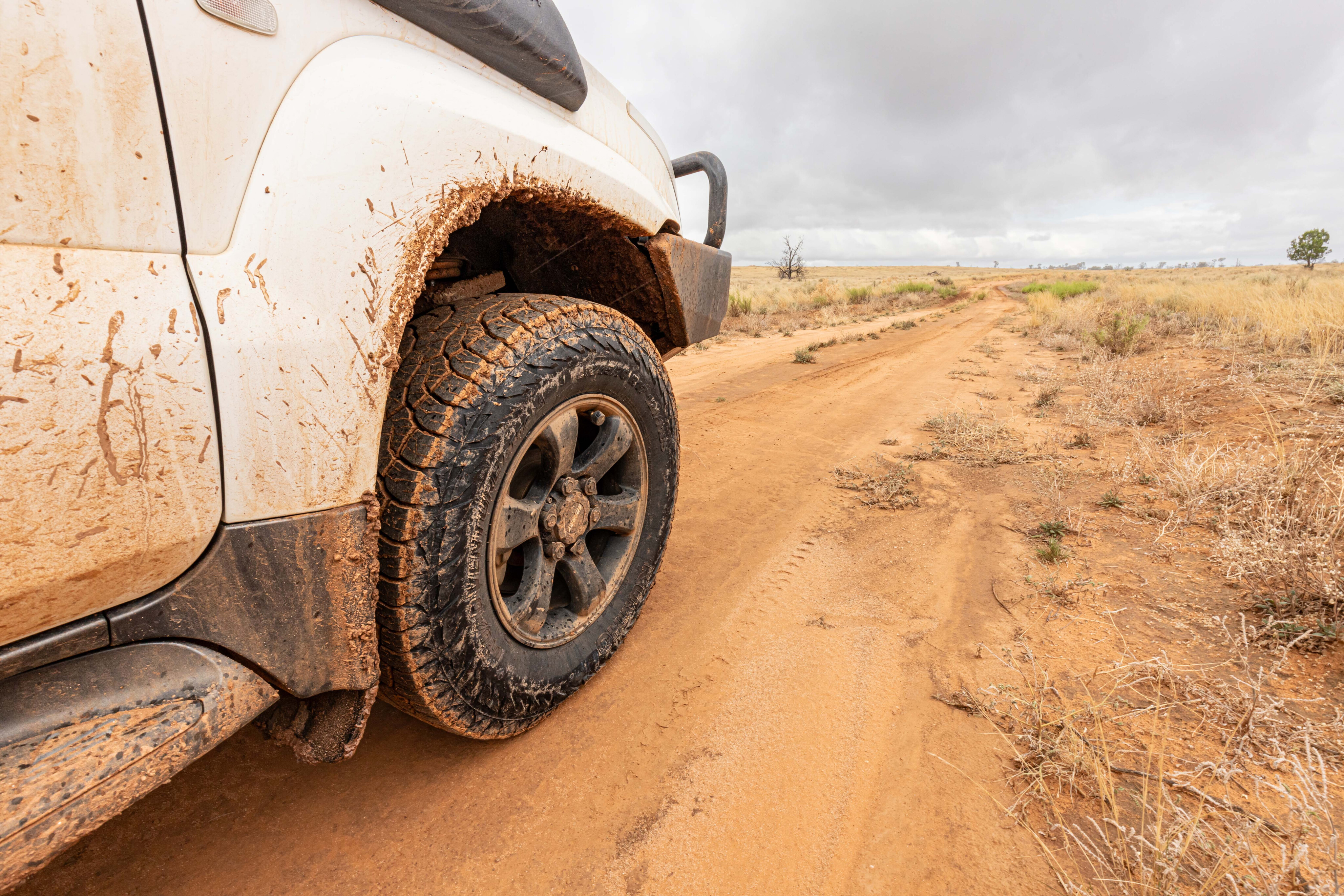
Once back in the dry cabin of the Prado, I followed Mount Crozier Track south, reaching Pioneer Drive without difficulty.
The sun was trying to poke through the clouds as I jumped onto Salt Bush Flat Track, which leads to then circumnavigates a small salt lake. After Checking out the Lake Becking Campground, I followed Pioneer Drive, a two-wheel drive road, around Lake Crosbie before reaching the busy Lake Crosbie Campground.
I needed to use recovery boards to level the Prado as the only site that wasn’t being used sloped badly. The rest of the day was spent relaxing, and I was thankful that I’d made it this far. Even though it was busy, the campsite was very quiet and once the sun disappeared, and I enjoyed an early night.
The next morning was similar to the previous day, with more grey clouds than blue sky on offer. I made a quick stop at the outdoor Pioneer Museum that tells the story of the salt mines that used to operate here.
The algae that release carotene in the lakes were in action, so the Pink Lakes were very pink.
Deciding that I wanted to scope out Kow Plains Homestead, I jumped onto Grub Track for 28km before tackling Sunset Track which led 23km to the western edge of the national park. Sunset Track was good for the most part; the deep sand sections had been tamed by the rain, but there were a couple of spots where water was covering the track with no diversions. Nevertheless, the Prado made it through in low range with just the right amount of momentum.
Once out of the park, I aired up before hitting the blacktop just west of Murrayville. I enjoyed a hot shower and change of clothes for a $5 donation at the caravan park before heading to Kow Plains just out of Cowangie.
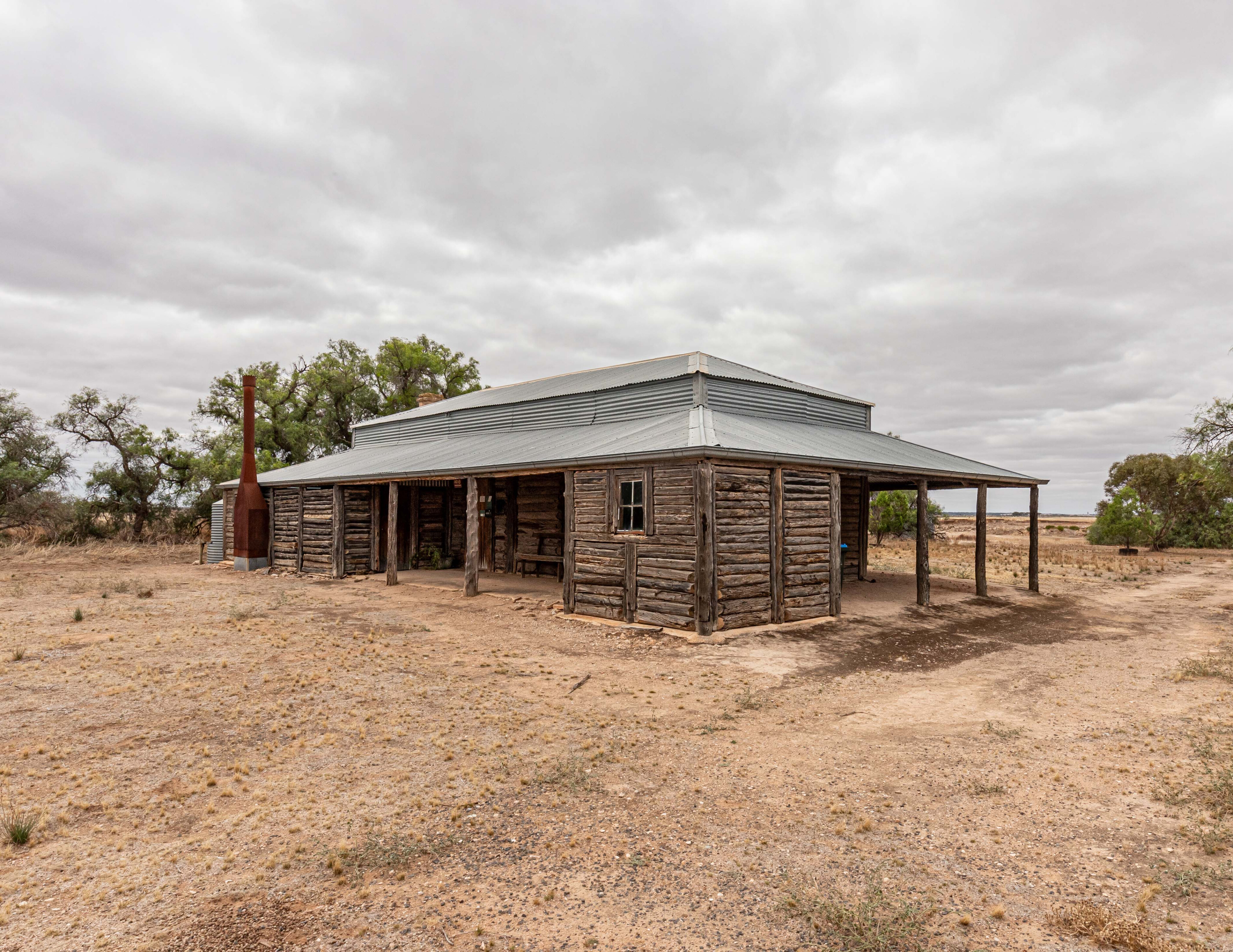
Built in the 1870s using local pine logs the homestead and outbuildings here represent one of the last substantial links with the pastoral days of the past. A gold coin donation allowed me to follow the walking trail, reading the interpretive boards that described what life was like in the early days, and the tough times.
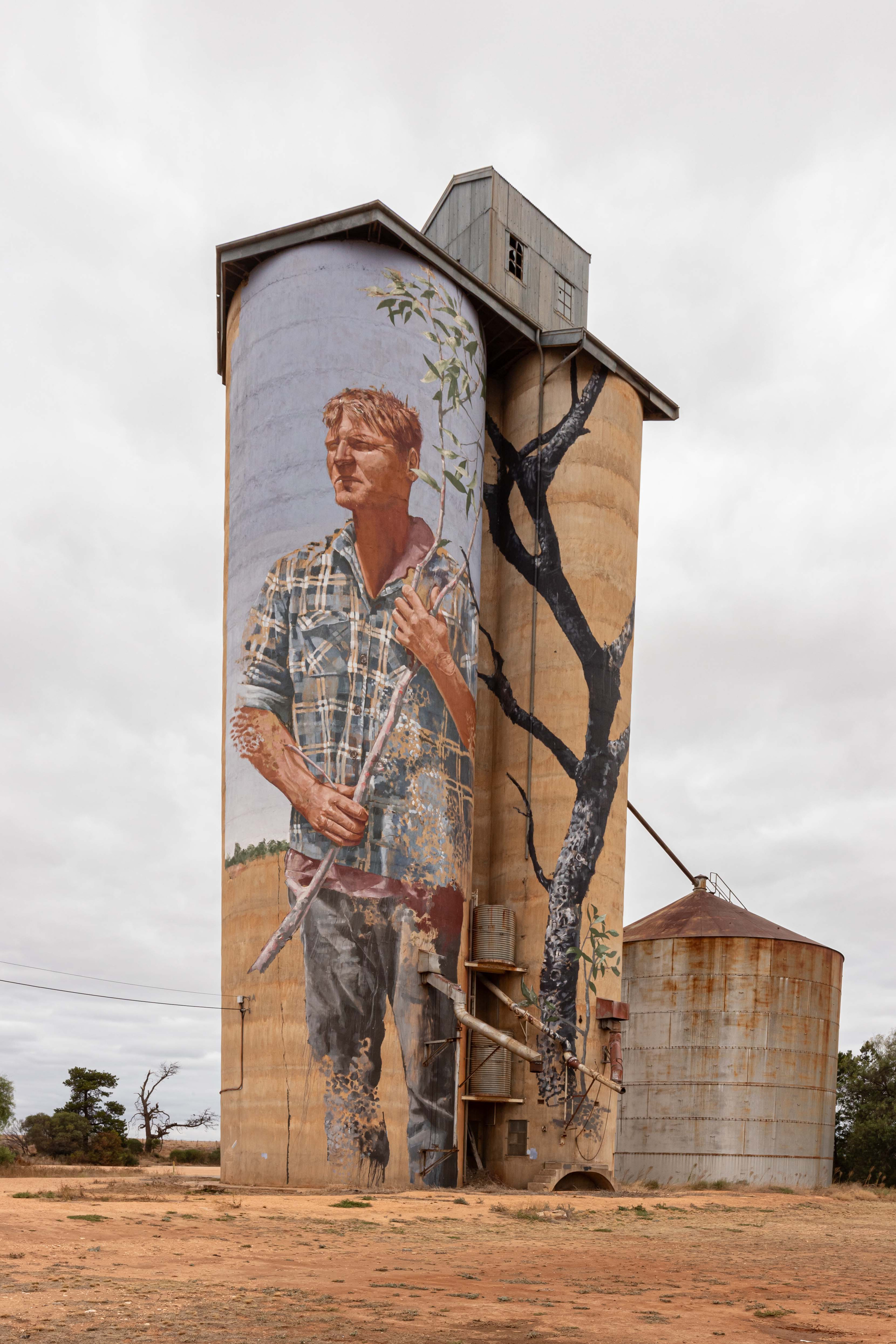
It was time to head home, so after following the Mallee Highway to Underbool, I took a quick detour down to Patchewollock to check out the silo art before making my way home to Wodonga. Murray-Sunset NP is a favourite haunt of mine and as it often does, it threw up a few surprises on this trip, all of which added to the adventure.
TRAVEL PLANNER
Region
North-western Victoria
Nearest town
Mildura and Renmark are the largest towns nearby and have all the facilities you need.
When to go
The cooler months from April to September are the best times, but access may close after rain. The warmer months bring native bees that are attracted to water.
Accommodation
Camping is available at Lake Crosbie, Mt Crozier, Mopoke Hut, Rocket Lake, Pheeneys Track and the Shearers Quarters, each with pit toilets, tables and firepits. Rainwater may be available depending on conditions. Border Track Campground has no facilities.
What to take
A compressor and tyre gauge, tyre repair kit, firewood, food and water. Leave it better than you found it.
Difficulty
Once you move away from the Pink Lakes, most tracks will offer you a good challenge with deep sand. When it is warmer, the tracks are even more challenging.
Contact
5 reasons to visit Murray-Sunset NP
- Pink Lakes
- Sunsets
- Plenty of tracks to explore
- Excellent campsites
- Sense of isolation

COMMENTS