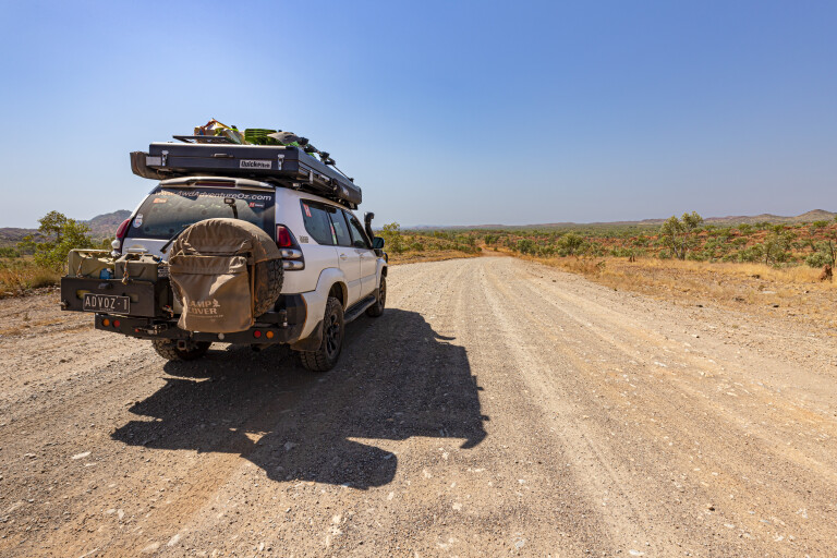
The sun rose above Wolfe Creek Crater and Mick Taylor mustn’t have been out hunting, I was still alive. A short walk led to the base of the crater and, after a quick climb, I took one last look at this magnificent specimen of a meteorite crater. It must have been one heck of a piece of space rock that crashed here more than 300,000 years ago.
With breakfast done and dusted, the rooftop tent closed, and the dishwater emptied on the coals from last night’s fire, it was time to hit the corrugations again. Passing Mick Taylor’s ‘abattoir’, a small herd of Brahman cattle kicked up bulldust as they wandered to the watering point, I felt a chill go down my spine.
The southern Kimberley town of Halls Creek was busy with overlanders, the Shell servo had a queue of 4WDs waiting to fill up. I drove around the corner to the BP self-serve to fill the Prado’s tanks, the only soul there. With the bank balance smacked by the high fuel price, a quick visit to the IGA to stock up on some fresh supplies was the go.
Duncan Road leads to the Buntine Highway some 170km away and has several stunning sites to see on the way. The first stop was to check out China Wall, closing the gate as requested, before a short drive to the viewing area. The weather has eroded the hard rock, leaving the vein of sub-vertical white quartz exposed – it looks amazing and would pop during golden hour.
Taking the turn-off to Caroline Pool, there was still a little bit of water left in the popular swimming hole and a fair bit of rubbish too – it wasn’t attractive. You can free-camp here for up to 24 hours, with drop toilets and bins provided. There are better camping options farther along Duncan Road.
Kimberley gold
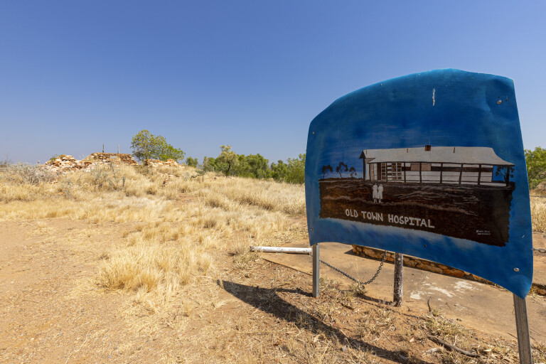
Old Halls Creek was once a bustling gold-mining town, the conditions would’ve been harsh. Prospectors travelled overland from Derby and Wyndham with everything they owned, to try their luck after Charles Hall found a 28-ounce nugget in 1885. This was the first gold discovery in Western Australia and, even though it was a short gold rush, the town stayed alive until the highway was built and the town was relocated.
Today, there is a discovery walk around the town site, while the old mud-brick post office is protected to preserve its heritage. Basic camping is available at The Lodge for $10 with solar showers and rudimentary toilets; it’s popular with fossickers who regularly still find gold in the area.
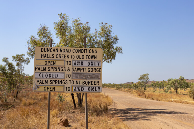
From Halls Creek, the going is slow through the Albert Edward Range with tight bends, washouts, blind crests and hearty corrugations. Crossing the Black Elvire River means you’re closing in on Palm Springs, a stunning oasis with palms and reeds and a great spot for a swim. The campsite is small and right on the road, so not ideal.
Just past Palm Springs is the turn-off to Sawpit Gorge, a cracker of a campsite. The road in is rough which seems to put off a lot of travellers, but the reward is worth it. The Black Elvire River is overlooked by a striking cliff face that would light up at sunset and, while the main camping area is high on the bank with bins and drop toilets, the best spots are down on the river bed. It’d be easy to spend a few hours with a relaxing swim, before sitting back to enjoy cold ones beside a warming fire.
It was time to move on though, as I wanted to reach the Buntine Highway and find a nice bush camp somewhere along the way. Once over the range, the road straightens and the valley is flat. The next 35km passes through the southern section of the Ord River Regeneration Reserve, which was created to revegetate bare and degraded sections of the Ord River catchment and reduce the amount of silt flowing into Lake Argyle in the north.
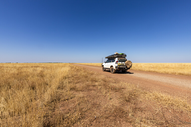
Once through this section, the flatlands were covered with Mitchell grass, good rains having helped in breaking the drought. I’m sure the Flora Valley, Nicholson and Gordon Down pastoralists are as happy as the livestock that graze these golden fields.
The landscape becomes bushier as the road runs alongside the Nicholson River when approaching the intersection with the Buntine Highway. The nearby Marella Gorge used to be a challenge to find, however a change in ownership has seen public access to this stunning gorge unfortunately closed.
I was spoiled by recent road maintenance when I turned on to the Buntine Highway, so the driving experience was great. It didn’t take long to reach the WA-NT border, devoid of welcome signs, and when I saw a recently refurbished roadside stop, it was time for a late lunch.
Trackers
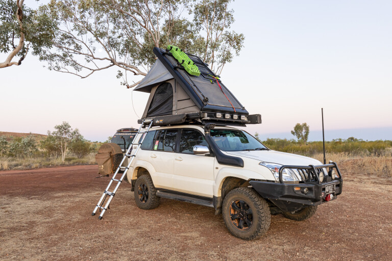
With Kalkarindji a good four hours away, it was a challenge finding a place to camp as there aren’t too many designated sites along the Buntine. Wikicamps was a great help, and the sun was low in the sky when I pulled off the road to stealth camp behind a gravel pit. Having set up camp and prepped for dinner, I put in a call to my wife on the sat phone. Darkness had fallen and as I was talking, I heard a voice yell out, “Is anyone there?”
A torch lit up and moved closer and the voice asked, “Can you help us?” Three Aborigines appeared, they’d been out hunting a cow and were returning to Kalkarindji when the Commodore ran out of oil. After offering them some water, the sat phone was used to call for someone to come and tow them home. The boys thanked me, then headed off in the darkness on the long walk back to their broken-down chariot. How did they know I was there? They’d spotted my tyre tracks entering the gravel pit but not exiting.
Rising early, it didn’t take long to get back on the road and it wasn’t long before I reached Kalkarindji and fuelled up. There is also a rudimentary caravan park here. This spot on the Victoria River is a place of national significance. On August 23, 1966, 200 Gurindji, Mudburra and Walpiri people walked off Wave Hill Station in a protest over conditions.
Led by Vincent Lingiari, it led to a return of homelands to the Gurindji people in 1974, the first legislation that allowed First Nations peoples to claim land titles if they could prove a traditional relationship with the country. From little things, big things grow.
Radio check
The single-lane bitumen road begins at Kalkarindji and heads north-east to Top Springs. The road is in poor condition, with plenty of potholes, washouts and blind corners, and I wouldn’t like to come across a road train on a bend, there would be nowhere to go to avoid a head-on. The UHF was on channel 40 and frequent radio checks went unanswered, so I assumed a truck wasn’t heading in my direction.
Thankfully there was a lot of roadwork in this section, a sign that a dual-lane road is in progress. The drive is scenic through the ranges and across the valleys, recent rains greening it all up. There are some big cattle stations out this way.
It was nice to pull up to the Top Springs Hotel, having camped out the back after exiting Gregory National Park a couple of years ago, the place felt familiar. A cold beer while chatting to the new manager was refreshing but unfortunately the kitchen was closed, so I missed out on a rump steak.
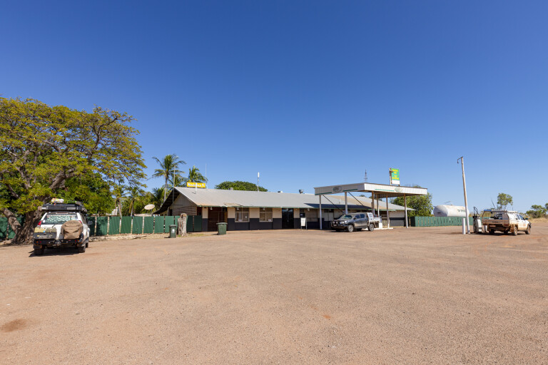
There is a storyboard out the front of the hotel that explains the vision of Noel Buntine to offer a reliable system of transporting cattle from remote stations to markets. It was the early 1950s, roads were bush tracks, seasonal weather was hazardous and meatworks owners thought trucking cattle caused bruising. Buntine helped legalise the use of triples (three trailers) and went from his first truck, a Model B Mack to eventually owning a fleet of 50 trucks. It was this vision that turned the Buntine Highway in to what it is today.
From Top Springs, the Buntine is often a dual-lane road as it heads 165km north to the Victoria Highway. There are recognisable termite mounds, golden grasses and sapling gums along the sides of the road, and if you’re with Telstra, the phone will start pinging as you pass the Delamere Air Weapons Range. You’ll encounter plenty of road trains on this section too, and a better place to meet them.
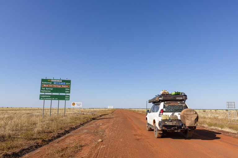
On reaching the Northern Highway, check out the monument dedicated to Noel Buntine, a bloke who helped make Australia a better place. From here you can turn left and explore the Victoria River and Gregory National Park on the way to Kununurra. Turning right leads 127km to Katherine, a great place to hang out for a few days and explore the hot springs, Nitmiluk National Park, Edith Falls and the Cutta Cutta Caves.
How bad is the Buntine Highway? Much better than I thought, with the gravel section well-maintained and nice and wide. The section between Kalkarindji and Top Springs is dangerous but a WIP for upgrades, and the northern section has all been upgraded. It is, in fact, a great shortcut between Halls Creek and Katherine.
Five fun facts
Noel Buntine
The highway is named after Noel Buntine, who revolutionised the way cattle were transported from remote stations to market via three-trailer livestock road trains. The highway traverses some 580km from the Victoria Highway in the NT via Top Springs and Kalkarindji to Nicholson in WA.
Kalkarindji
Kalkarindji is a place of national significance where First Nations people had their homeland returned to them for the first time, following the Wave Hill Walk Off protest by Aboriginal station workers led by Vincent Lingiari in 1966.
Top Springs
Top Springs is a great place to roll out a swag and enjoy a tasty home-cooked meal. The hotel and servo are located at the junction of the Buntine and Buchanan Highways, about 290km south of Katherine, and surrounded by several huge cattle stations.
Old Halls Creek
Old Halls Creek was Western Australia’s first gold discovery. Although short-lived, the gold strike contributed to the establishment of the ports of Derby and Wyndham as well as Halls Creek.
Free camping
Sawpit Gorge is a great free campsite with 24-hour camping, eco toilet and rubbish bin. Located 45km from Halls Creek and a few kilometres off Duncan Road, a 4WD is recommended to access Sawpit Gorge.

COMMENTS