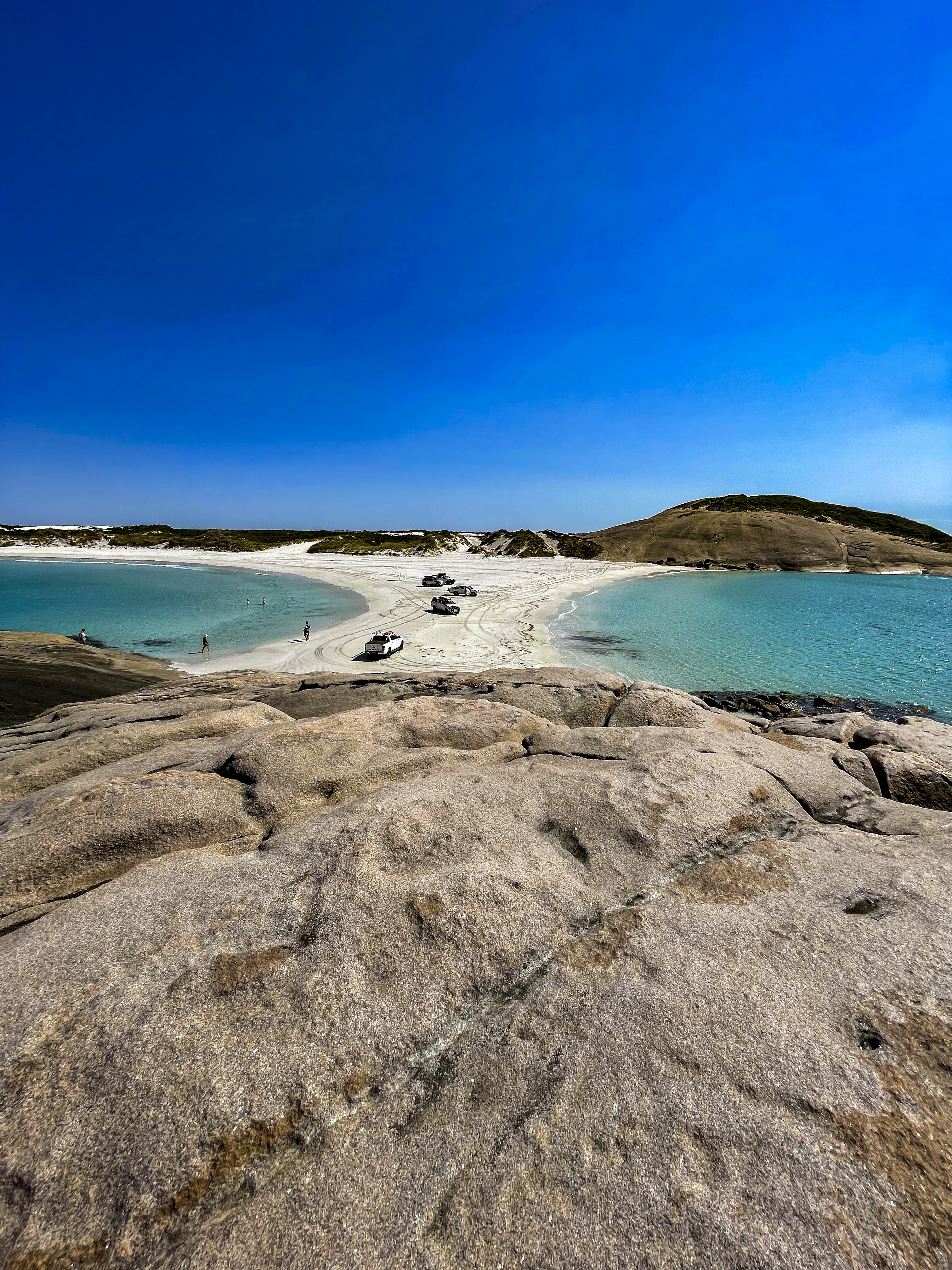
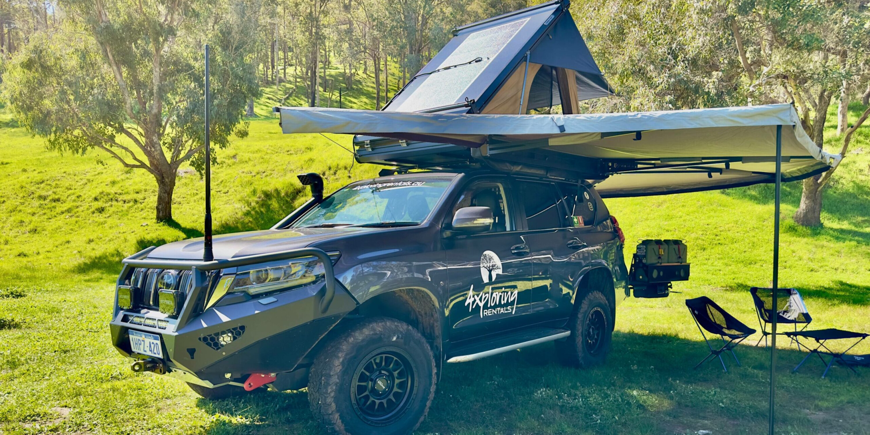
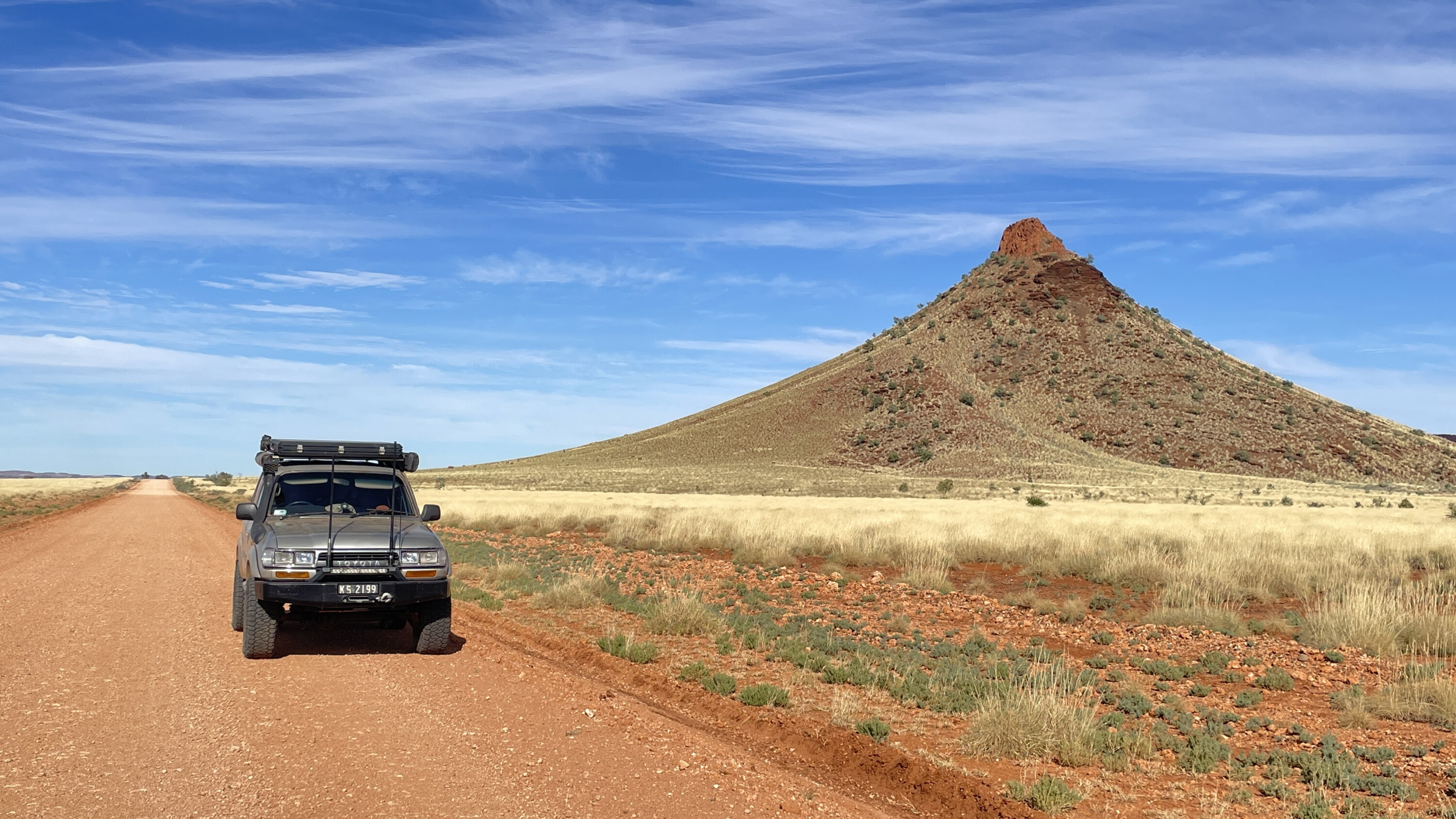
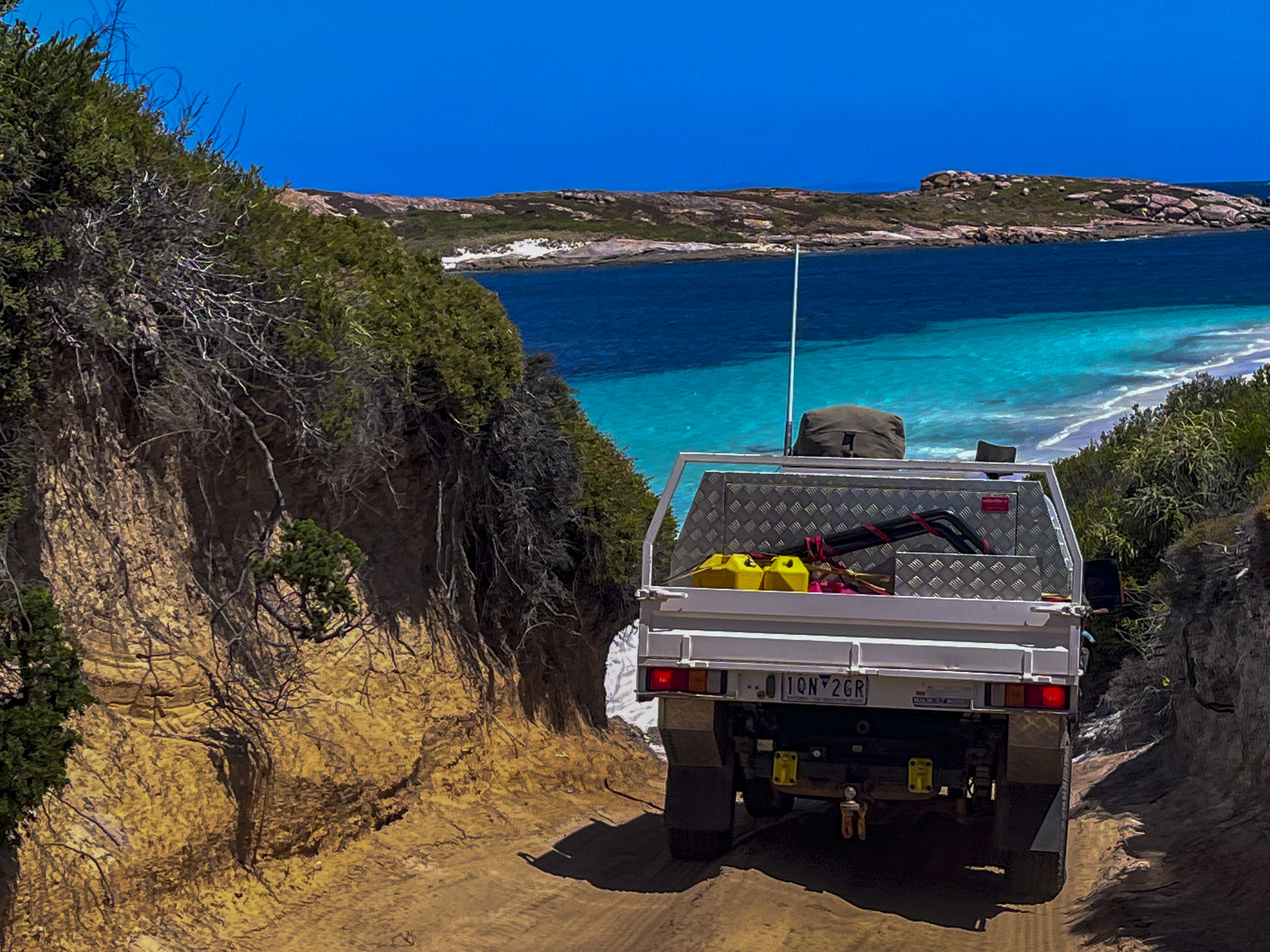
It was a scorcher of a day, with temperatures of 43°C and winds that grew stronger as the day went on. Not the sort of day you’d want to be stuck on a four-wheel drive track.We’d spent the morning at Masons Bay, an idyllic spot for a swim or a paddle in crystal-clear water, near Hopetoun on Western Australia’s southwest Southern Ocean coastline. There were only a couple of other cars on the beach and some kayakers out on the water.
When we visited to check it out in early February, there were still a few camping spots vacant. The road to get in was a bit corrugated but nothing a D-Max couldn’t handle. We parked on the beach, had a swim, then drove to nearby Starvation Bay before heading back to Hopetoun. The tracks around Starvation Bay are a four-wheel driver’s heaven, but the hot gusty winds on our visit weren’t conducive to being out on the tracks, so we headed back to our beachfront caravan park at Hopetoun.That afternoon, we smelled smoke, and the fire seemed to come from nowhere. We learned afterwards that a haystack had caught fire and lightning sparked more spot fires. Within minutes, the sky was black, and smoke and flames could be seen from our caravan park.
Hopetoun is on the doorstep of Fitzgerald River National Park, one of the largest and botanically significant parks in Western Australia. It’s a quiet little town that wasn’t on our radar, but it’s off-the-beaten-track location and surrounding attractions make it a worthwhile detour when travelling along the south-west edge of Australia. Along with Ravensthorpe and Munglinup, Hopetoun makes up what’s known as the Fitzgerald Biosphere Coast.The Hopetoun Beachfront Caravan Park is basic, but has a great vibe and ticks all the boxes. It’s nestled within the bush and beachfront, within walking distance to the pub. It’s also just a stone’s throw to the Fitzgerald River NP, which is accessed via Hammersley Drive.
Fitzgerald River National Park
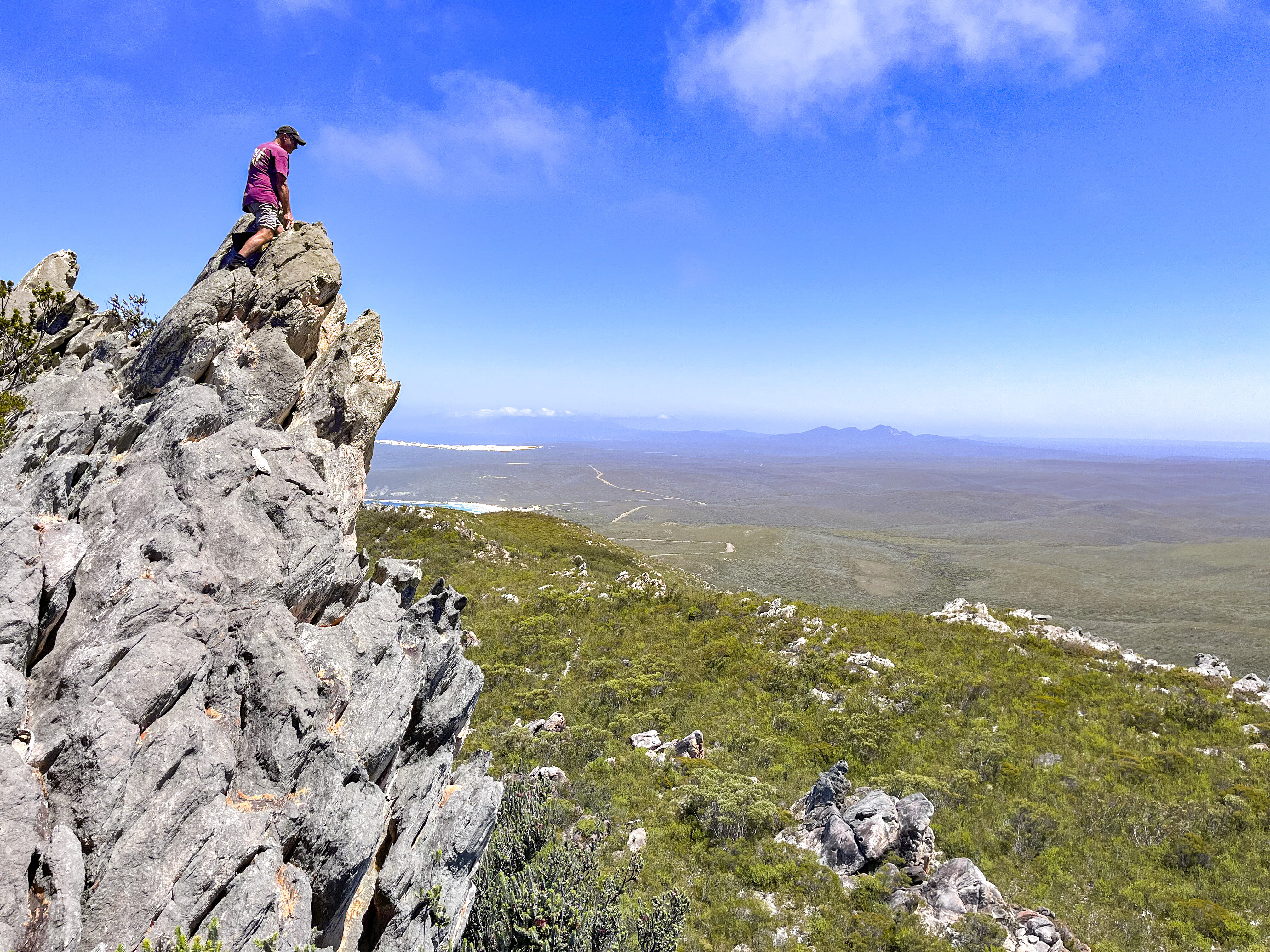
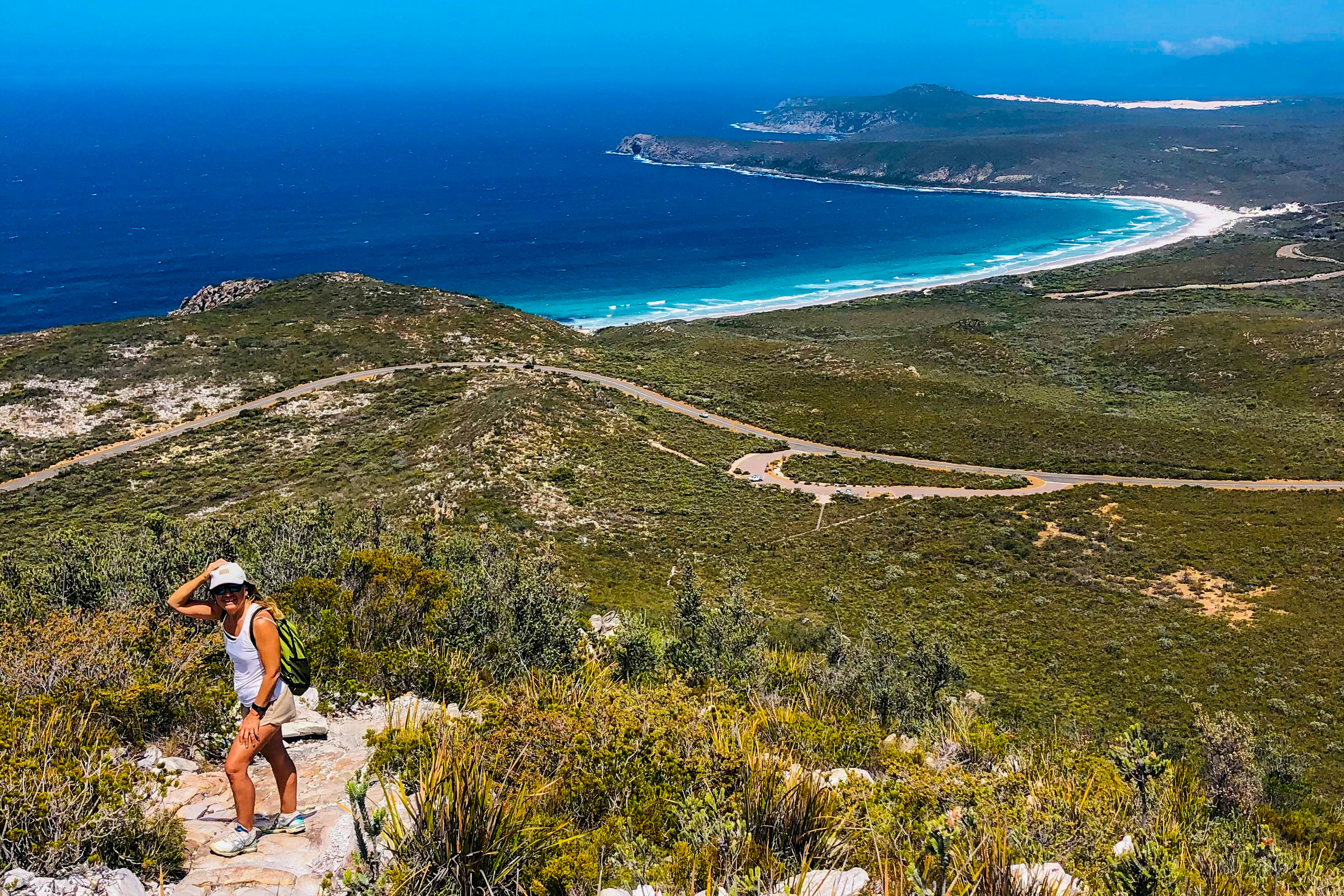
Within the park you’ll discover a rugged coastline, mountains, viewing platforms and a ton of adventure. There are many turnoffs to coves and beaches and they’re all worth a look, but Barrens Beach and Mylies Beach in particular are worth a visit. Climb East Mt Barren for spectacular views of the coastline and the surrounding National Park. It’s a steep, relentless climb, so choose a day when the wind is low and the temperature is mild, as it was on the day we climbed it. You can also walk the Hakea Trail to the breathtaking Quoin Head.
For an exciting off-road adventure head to the Hamersley sand dunes for some of the most fun and challenging tracks in the area. Nearby Ravensthorpe is a patchwork of rolling hills, natural bushland, history and a 29km 4WD journey that takes you along the top ridge. The range has the most eucalyptus species in the world for its size, and explodes with wildflowers and mining history.From Hopetoun, head up to Munglinup via Springdale Road, turning right at Munglinup Beach Road. Back in the floods of 2017, more than 300mm of rain fell in a 24-hour period, devastating this area, destroying bridges and cutting off the towns of Hopetoun and Ravensthorpe. It has taken years to repair all of the infrastructure.
Fast forward to February 2022 and fire is now on the doorstep of Fitzgerald River NP. The Hopetoun caravan park we stayed at wasn’t evacuated, but most people had packed up and left for the groyne area out on the jetty, or the town oval. We stayed on high alert, hitched up our van and were ready to leave if necessary. We learned the next day that a few homes were lost, and a mini tornado had blasted through at the same time, tearing off a house roof near Hopetoun’s Farm Gate Art Trail. However, quick action by firefighters and aerial water bombers prevented the fire from spreading too far. By the following morning the smoke had dissipated, and we ventured in to town to support the small community with a few dollars spent along its Main Street.
Esperance
A couple of hours from Hopetoun are the white sands of Esperance. We spent a week in the area, meeting up with friends and enjoying the beaches that make the town such a popular destination. We drove along Lucky Bay, famous for its local kangaroos, swam at Hellfire Beach, and then drove to Wylie Bay at low tide. If you get there at the right time, it’s possible to drive right on to the headland between two beaches and walk to the rocks on the other side.
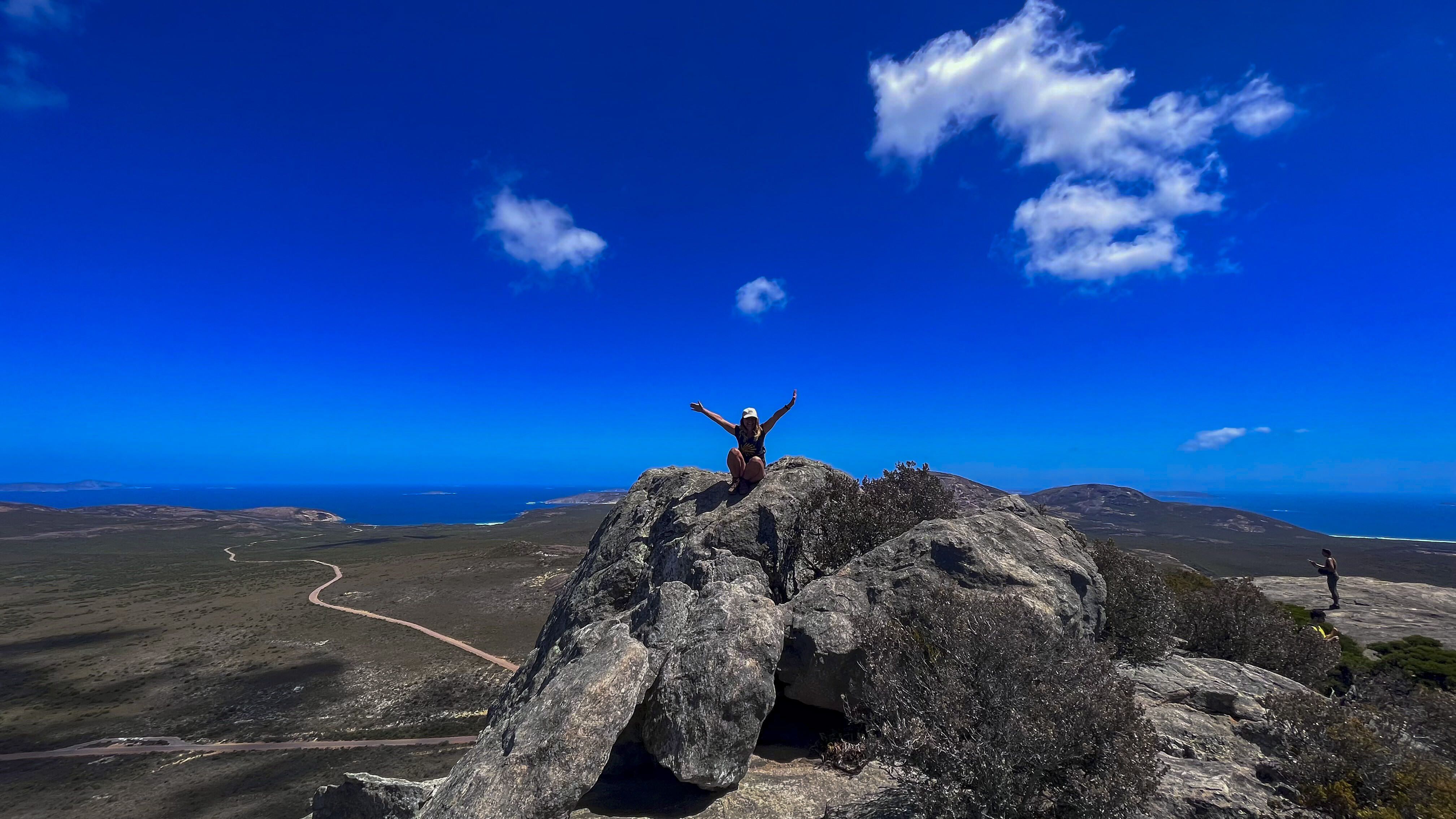
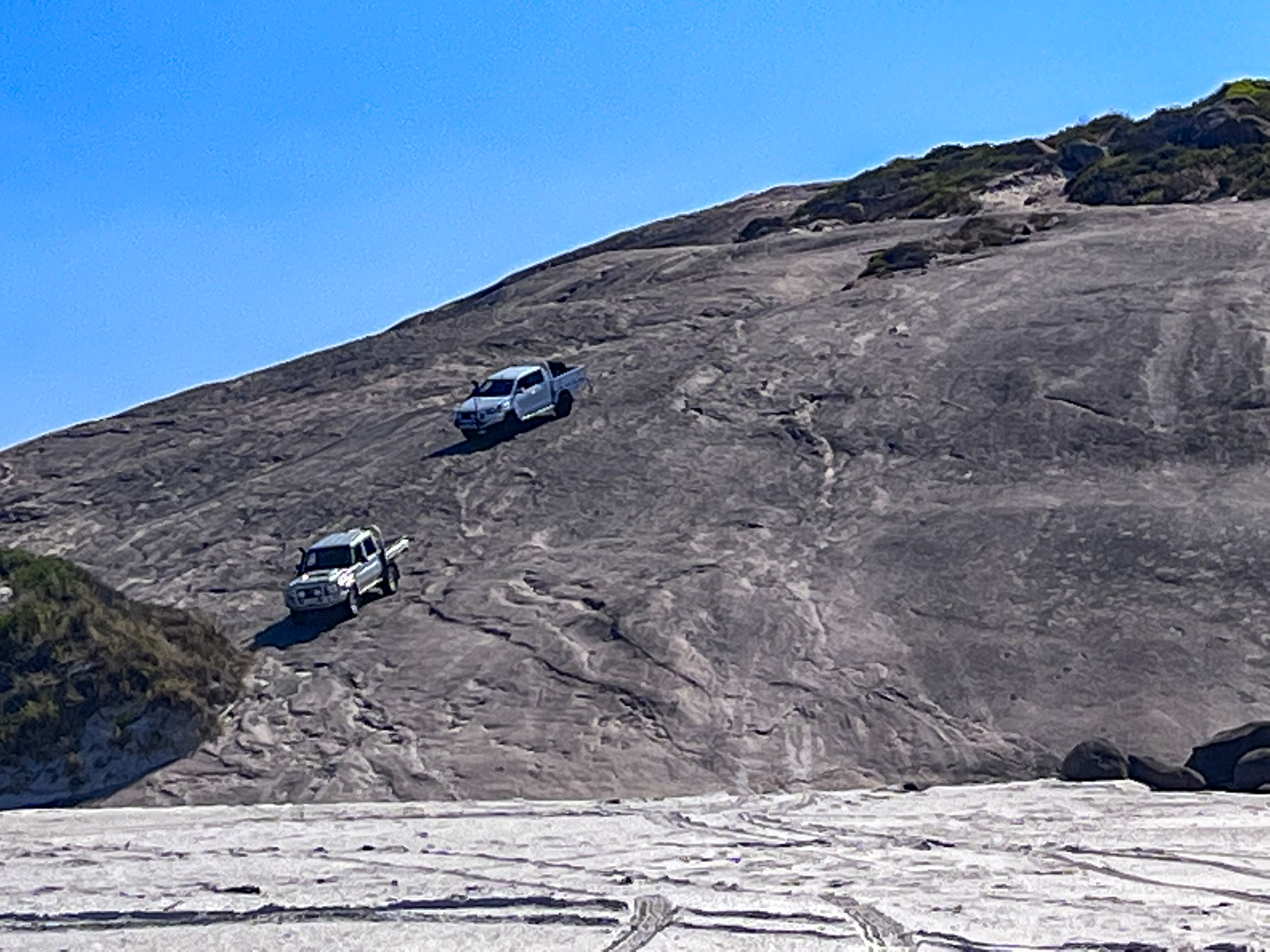
One of the highlights on a cool day is a walk up Frenchman Peak, a sheer granite mountain clamber that requires sturdy shoes and good balance. It’s challenging, but the rewards at the top including breathtaking views and a fantastic cool cave to explore make it well-worth the effort.
Duke of Orleans Bay
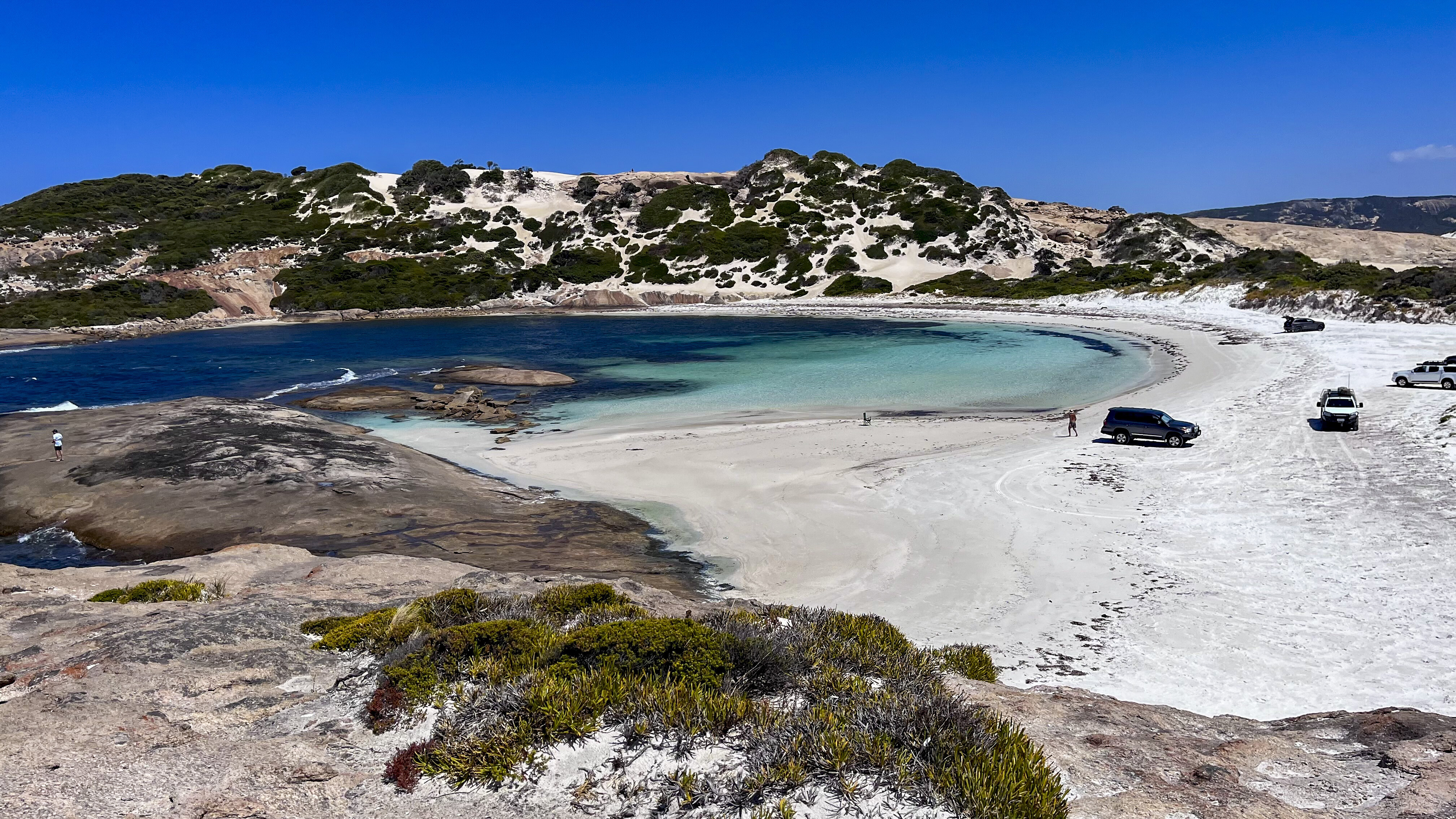
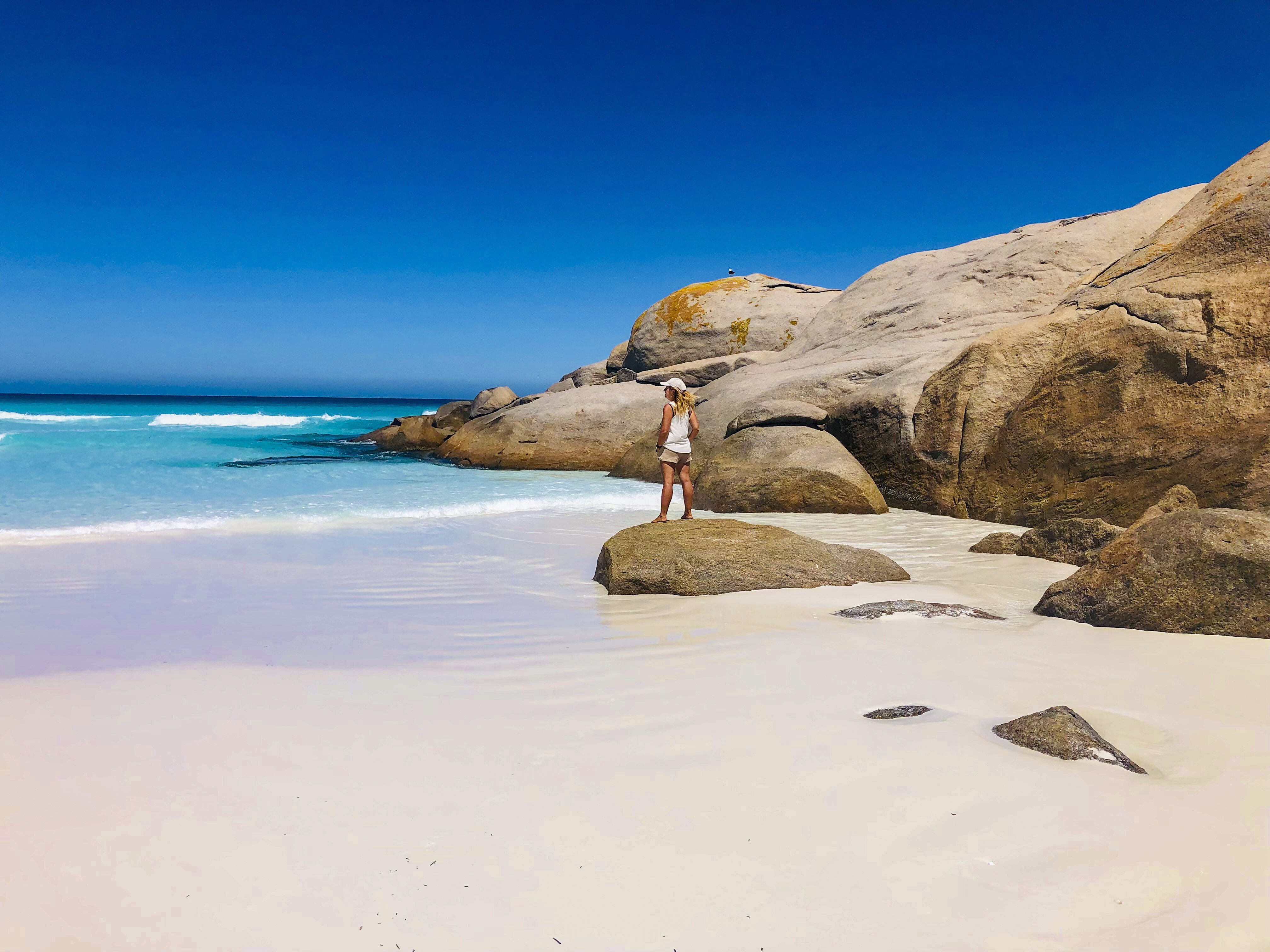
Head another 90km east and you’ll come to Duke of Orleans Bay. The jewel in the crown is Wharton Beach, and even on a grey day it’s dazzling with its white sand and turquoise waters. It’s also one of the smoothest, hardest beaches we’ve driven on.
The Duke of Orleans Caravan Park, or The Duke as it’s affectionately known, is three kilometres away from Wharton Beach and has plenty of spacious powered and unpowered sites. There’s fish and chips available at the kiosk and a Wi-Fi hotspot outside on the veranda. It’s a great base to explore this coastline.From Wharton Beach it’s four kilometres on the sand to the turn-off towards Cawrie Beach, a protected cove popular with fishermen. Farther along, the sand gets soft and deep, but once across to Victoria Harbour it’s fairly compact and hard. Victoria Harbour is more secluded than Wharton and is a spectacular place to spend a day.
Back on Wharton Beach there’s a rugged but short 4WD track that leads to Little Wharton Beach. Watch out for the kamikaze goannas who have a habit of sunning themselves in the middle of the track.
Cape Arid National Park
The deeper you explore this coastline, the more remote it becomes. Cape Arid National Park is accessed from Fisheries Road or Melville Road and offers plenty of side tracks, remote beaches and camps to discover. There are also a range of walks, from the two-kilometre Len Otte Nature Trail to the 10km-return Tagon Coastal Trail. Plus, you can take the Mt Ragged Walk Trail to the top of Tower Peak and up Mt Arid. This four-kilometre walk to the summit offers incredible views of the coastline, islands of the Recherche Archipelago and the park’s vast interior. You get to the start of this walk by 4WD, along Yokinup Beach.
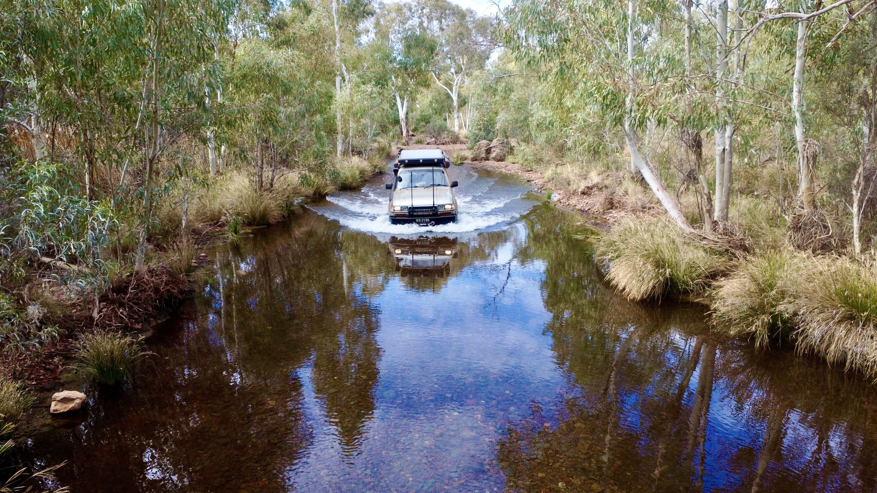
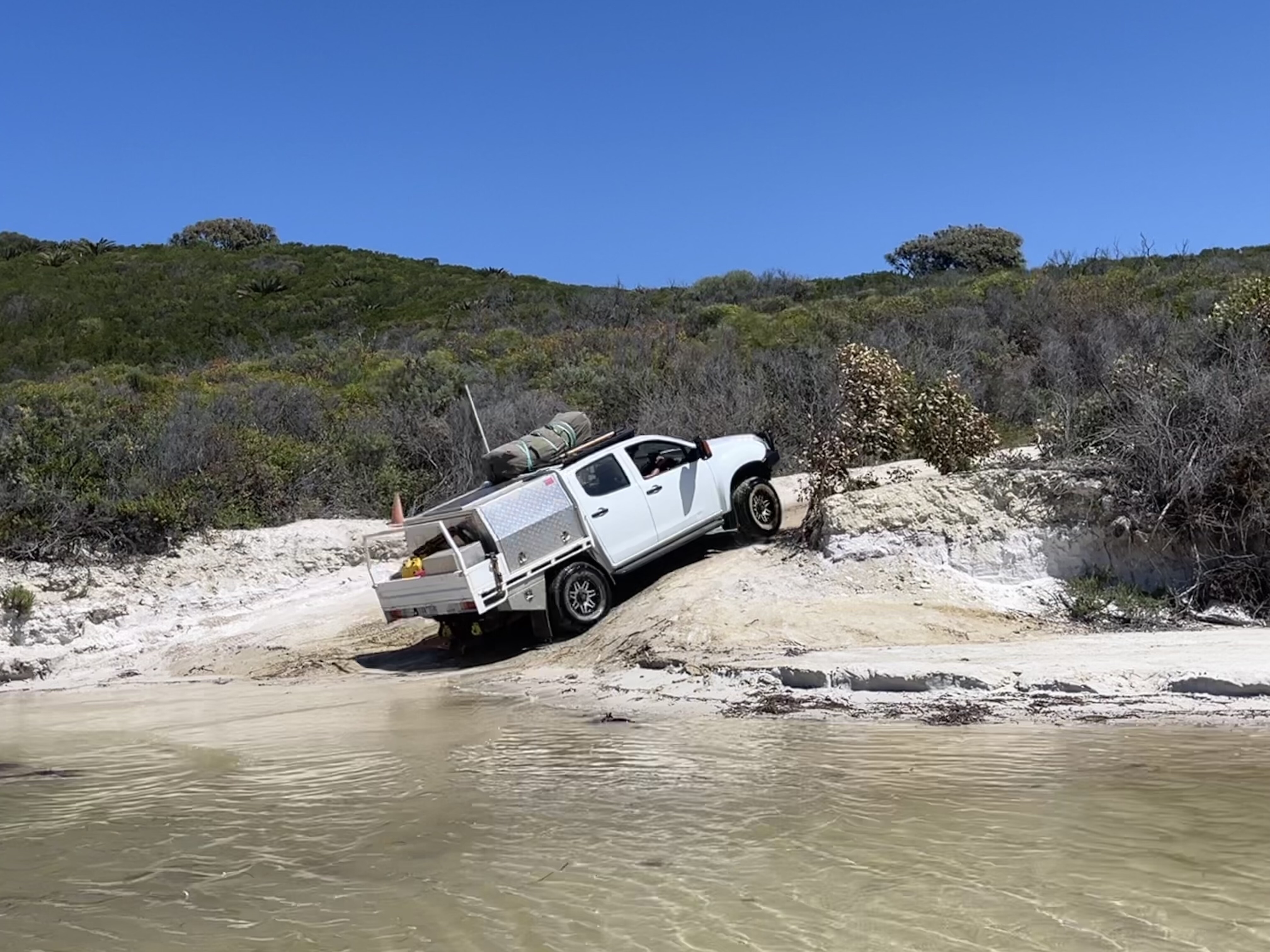
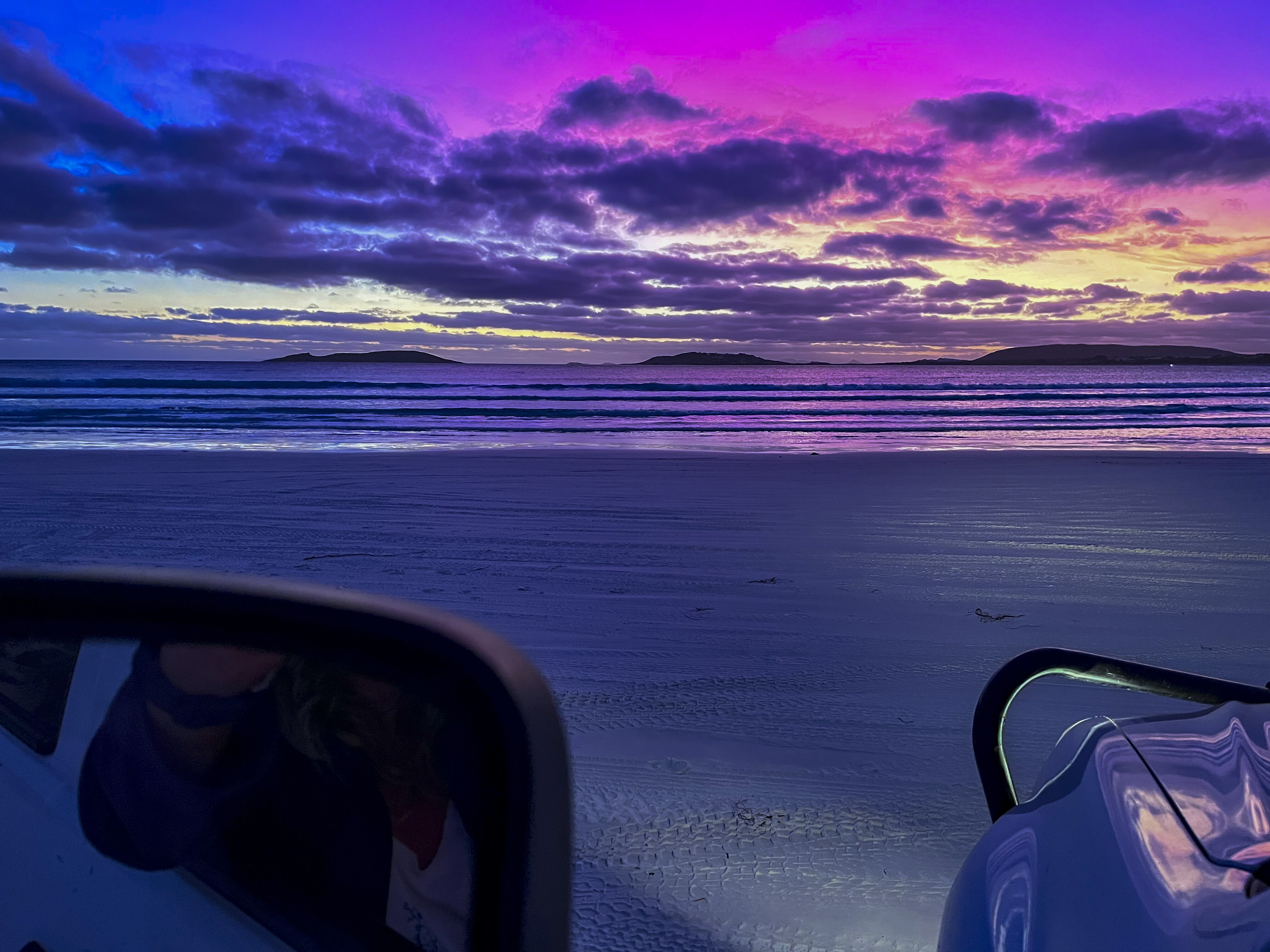
To get to Yokinup Bay, head down River Road until you reach the end. It’s a bit of a drop down to the sand and a high-clearance 4×4 is needed to navigate the Thomas River, which varies in depth depending on sand erosion. Once on the beach it’s possible to drive right around to Cape Arid, but on the day we visited the tide was rapidly rising so we turned back early. It always pays to be careful and mindful of tidal times.There are loads of places to camp within the NP, including two-wheel drive access to the Thomas River and Seal Creek camps, and for those who want to head farther in to the park there’s 4WD access-only to Mt Ragged, Point Culver, Point Malcolm and Israelite Bay.
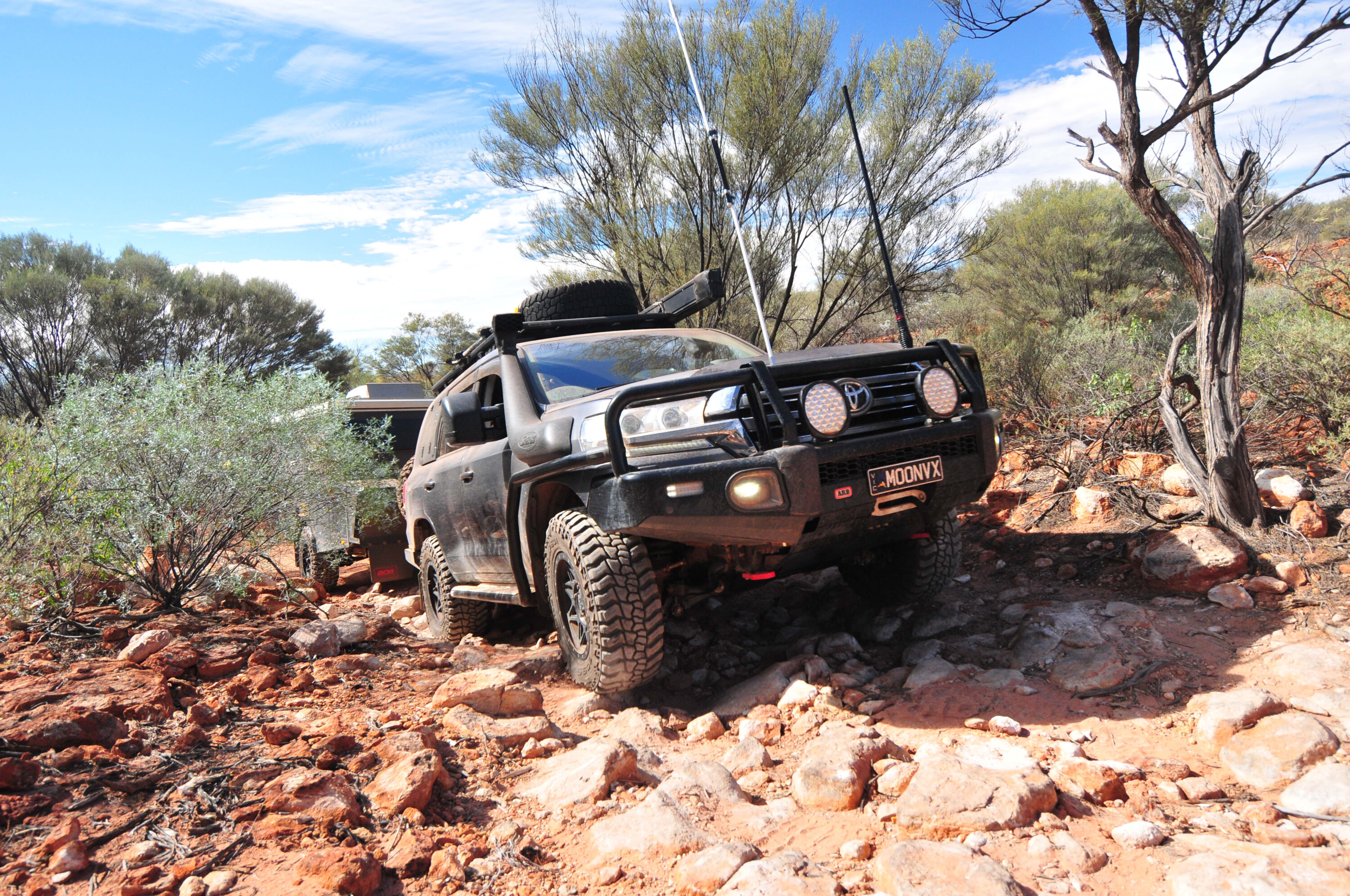
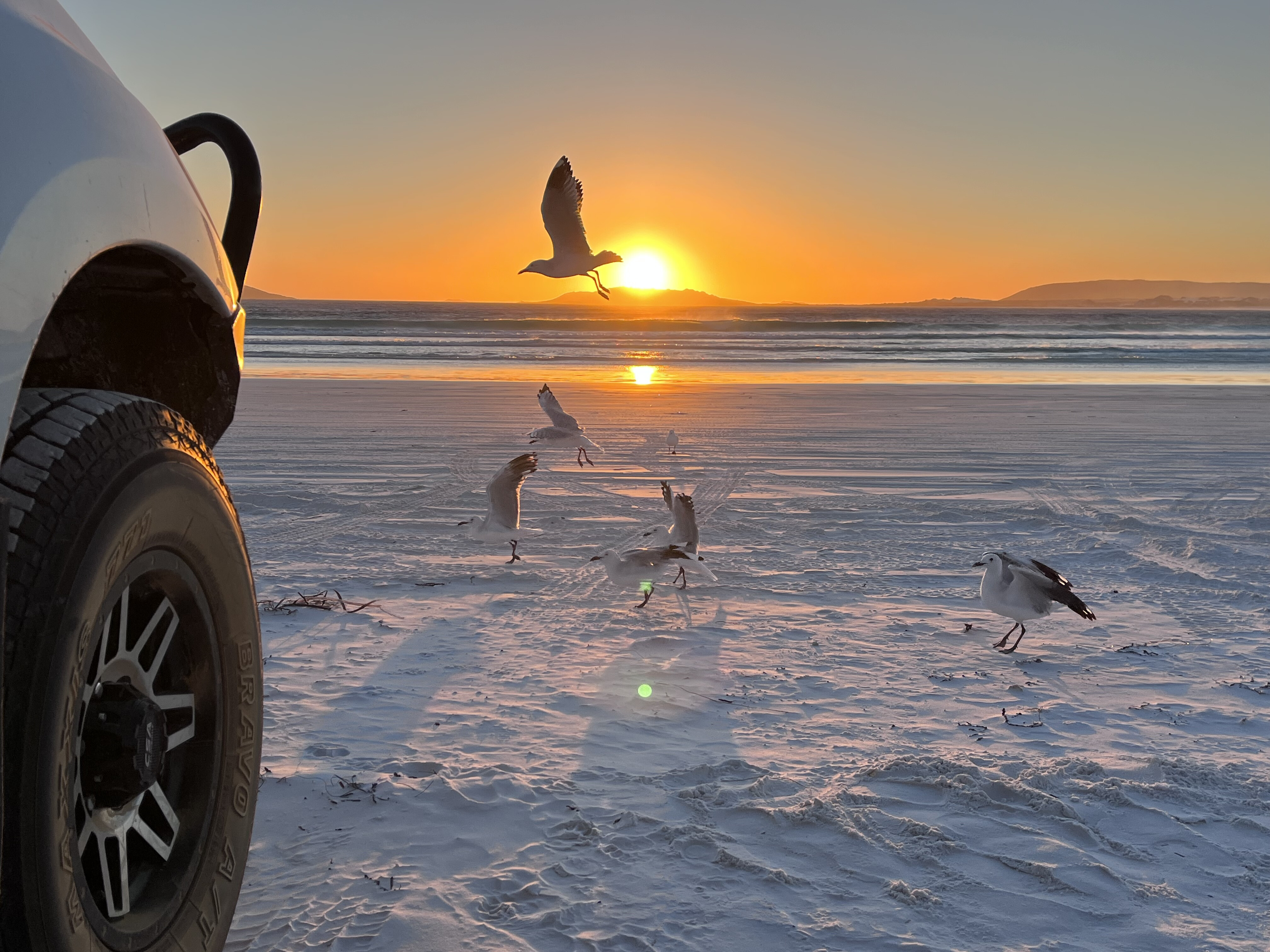
Israelite Bay is one of the most remote spots in Cape Arid National Park. Access is from Fisheries Track and Telegraph Track from Condingup, east of Esperance. Be prepared and completely self-sufficient as this is a rough track with soft sand followed by clay and limestone outcrops and soft clay bog holes. It’s challenging in the dry and often impassable in wet weather. However, keen adventurers will be rewarded with excellent fishing and the sight of some of the best ruins in Australia including the Old Telegraph Station, with walls that have been there since 1896.Before the telegraph line and stations were built, it took around three weeks for news to travel from Adelaide to Perth. Once the telegraph was in full operation, the news was suddenly a same-day event. At its peak, this remote settlement was home to around 150 people. The old jetty was built shortly after the telegraph station to supply the people working in the bay and the telegraph station; it was also used to export wool from the sheep stations near Israelite Bay. The jetty is still there today, even after all those years, and is a great place to drop a line.With white beaches, remote destinations and secluded camp spots, travelling on the edge of the south-west of Australia is awe-inspiring and makes you feel like you’re on the edge of the world.
5 Highs of the Great Southwest
1. Fitzgerald Biosphere CoastTaking in the towns of Hopetoun, Ravensthorpe, Munglinup and Fitzgerald River National Park, this section of the WA coastline has a wealth of natural beauty including 2500 wildflower species, ancient mountain ranges, rocky hills, rugged river valleys, estuaries and large inlets, and beautiful remote beaches. Wildflowers can be found year round and are most abundant in spring.2. Off-roadingGo four-wheel driving or trail-bike riding through the famous Ravensthorpe Ranges that surround the namesake town, the tracks around Hopetoun’s Starvation Bay, the sand dunes at Fitzgerald NP’s Hamersley Beach, and beach runs at Duke of Orleans Bay, Cape Arid NP and Israelite Bay.3. Fitzgerald River National ParkRegarded as one of the most botanically significant national parks in Australia, Fitzgerald River contains almost 20 per cent of WA’s floral species, many of which occur only within its boundaries. The park features a variety of landscapes from rolling plains, rugged peaks and headlands, to stunning bays and inlets. During winter, southern right whales shelter close to shore with their newborn calves.4. Cape Arid National ParkA beautiful and biodiverse area featuring coastal sand heaths, mallee and low granite hills extending inland to Mt Ragged and on to woodlands dominated by saltbush and bluebush. A near-pristine wilderness, it’s an important conservation area for 1100 plant species and more than 160 bird species. Migrating whales pass close to the headlands in late winter and spring.5. Telegraph StationTake Cape Arid NP’s Telegraph Track from Esperance to Israelite Bay, where you’ll find the ruins of the National Trust-classified Post Office and Telegraph Station, some graves, an old cottage and a fishing shack. The telegraph station was part of the Intercolonial Telegraph Line (South Australia to Western Australia). Originally built with wood in 1876, the station at Israelite Bay was replaced with a stone structure in 1896.

