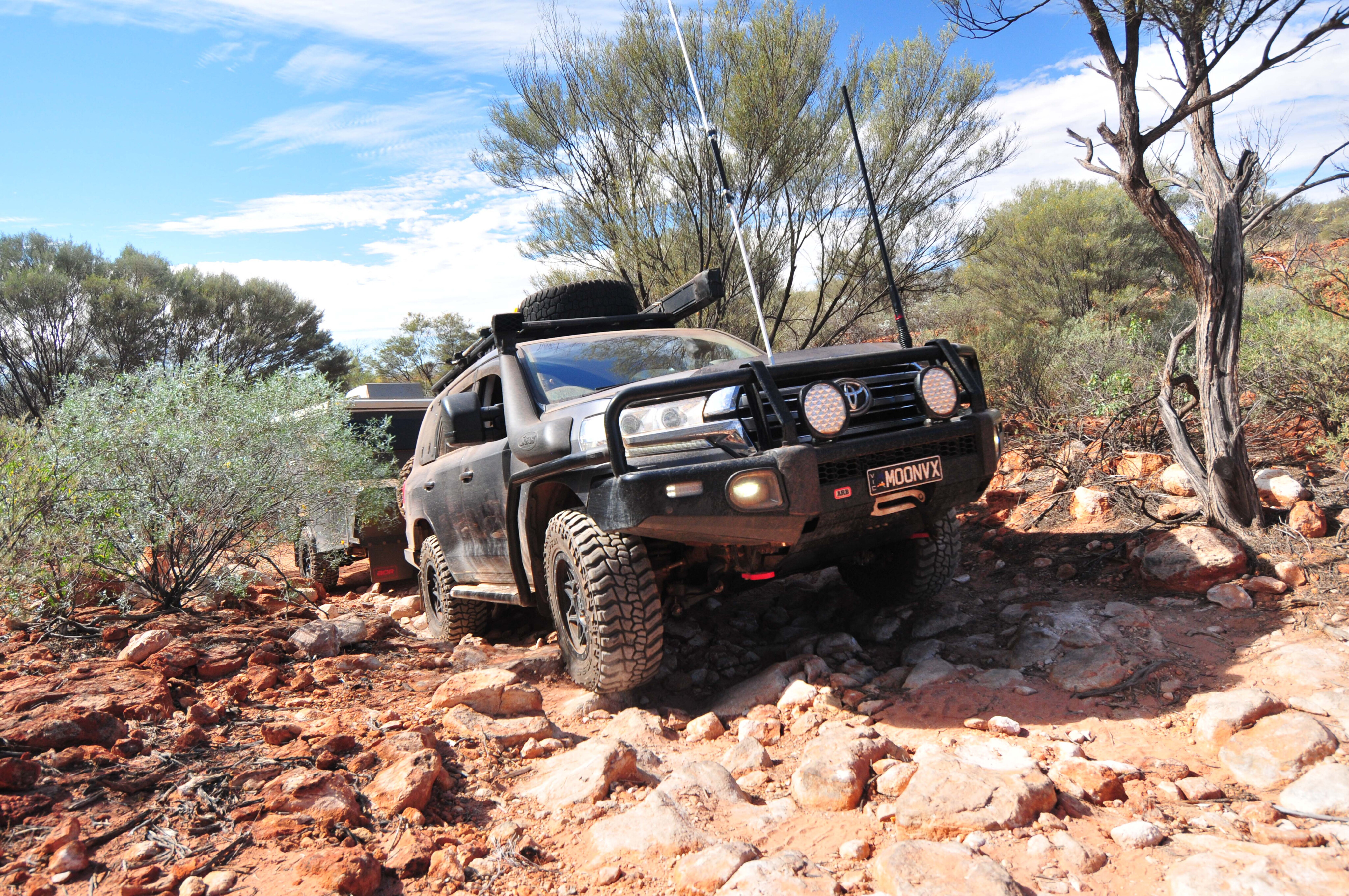
The Canning Stock Route, or CSR for those who have travelled it, is by many accounts the longest and most isolated stock route in the world.
This challenging journey stretches over 1800km from the relatively well-watered southeastern edge of the Kimberley at Halls Creek, across the deserts of Western Australia, and to the rich goldfields north of Kalgoorlie.
The route was first surveyed by Alfred Canning in 1906 and he suggested that a stock route across the deserts could be built despite this being contrary to the strongly held and stated beliefs of earlier explorers such as David Carnegie and Lawrence Wells.
Tasked with the job to build it, he set out from Wiluna in March 1908, arriving in Halls Creek (now called Old Halls Creek) in July of the following year having excavated and erected 31 wells along the way. Turning back south he and his men established a further 21 wells before arriving in Wiluna in April 1910. It was an incredible undertaking.
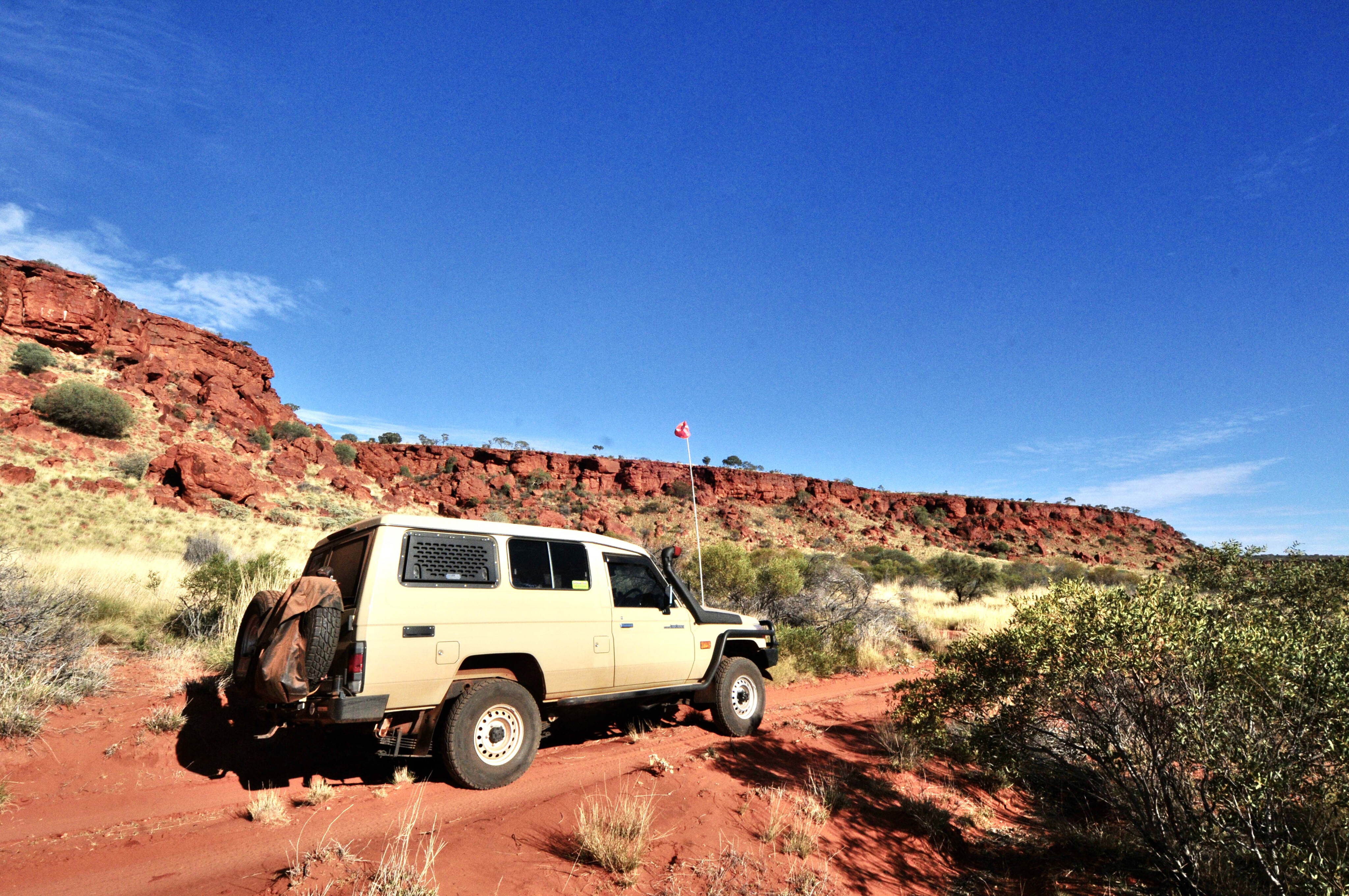
Just a year later the first cattle were brought down the stock route, but it was only ever used spasmodically, with the last mob coming down in 1958.
The first vehicle to travel any length of the stock route was that of Michael Terry who travelled from Billiluna Station as far as Well 48 in 1925. At the southern end, vehicle-equipped surveyors reached as far north as Well 11 in 1929. In 1963, Len Beadell and his Gunbarrel Road Construction Party built two roads that cut the CSR – one at Well 23/24 and another at Well 35.
In 1964 the late Henry Ward (who established the Glen-Ayle Station in 1947) became the first person to travel up the stock route by vehicle as far as the Durba Hills and Well 18. Four years later, in 1968, three surveyors, Russell Wenholz, Dave Chudleigh and Noel Kealley, who had done much of the mapping in the area, became the first to drive the complete length of the stock route.
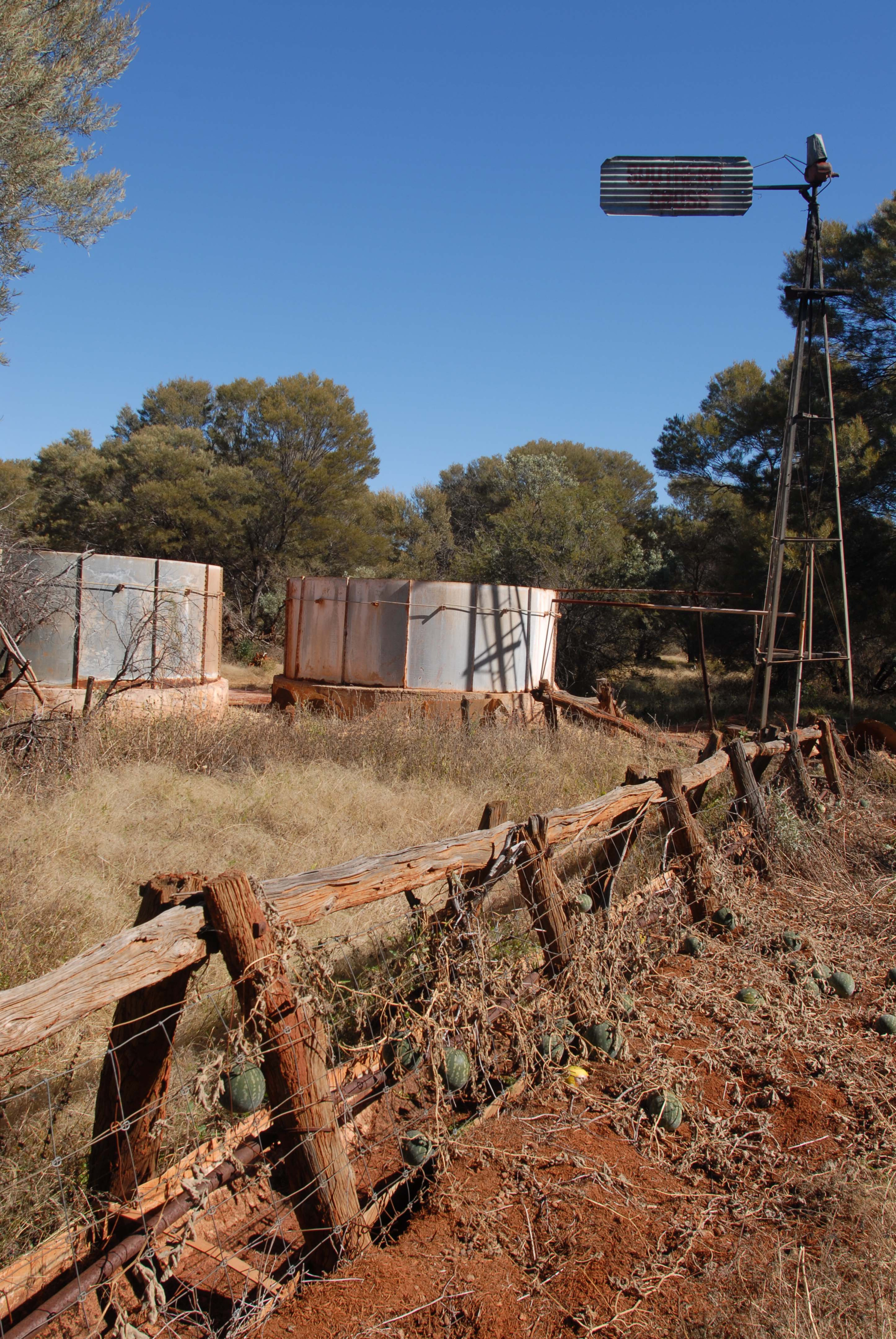
Martu Aboriginal people, who had been moved out of the deserts in the 1950s and 60s, mainly to Jigalong or further afield, began to move back onto their traditional lands in the 1980s. Punmu was established in 1981 and Kunawarritji soon afterwards, but it was a number of years before general stores were established to service the growing number of travellers along the Canning and other desert tracks.
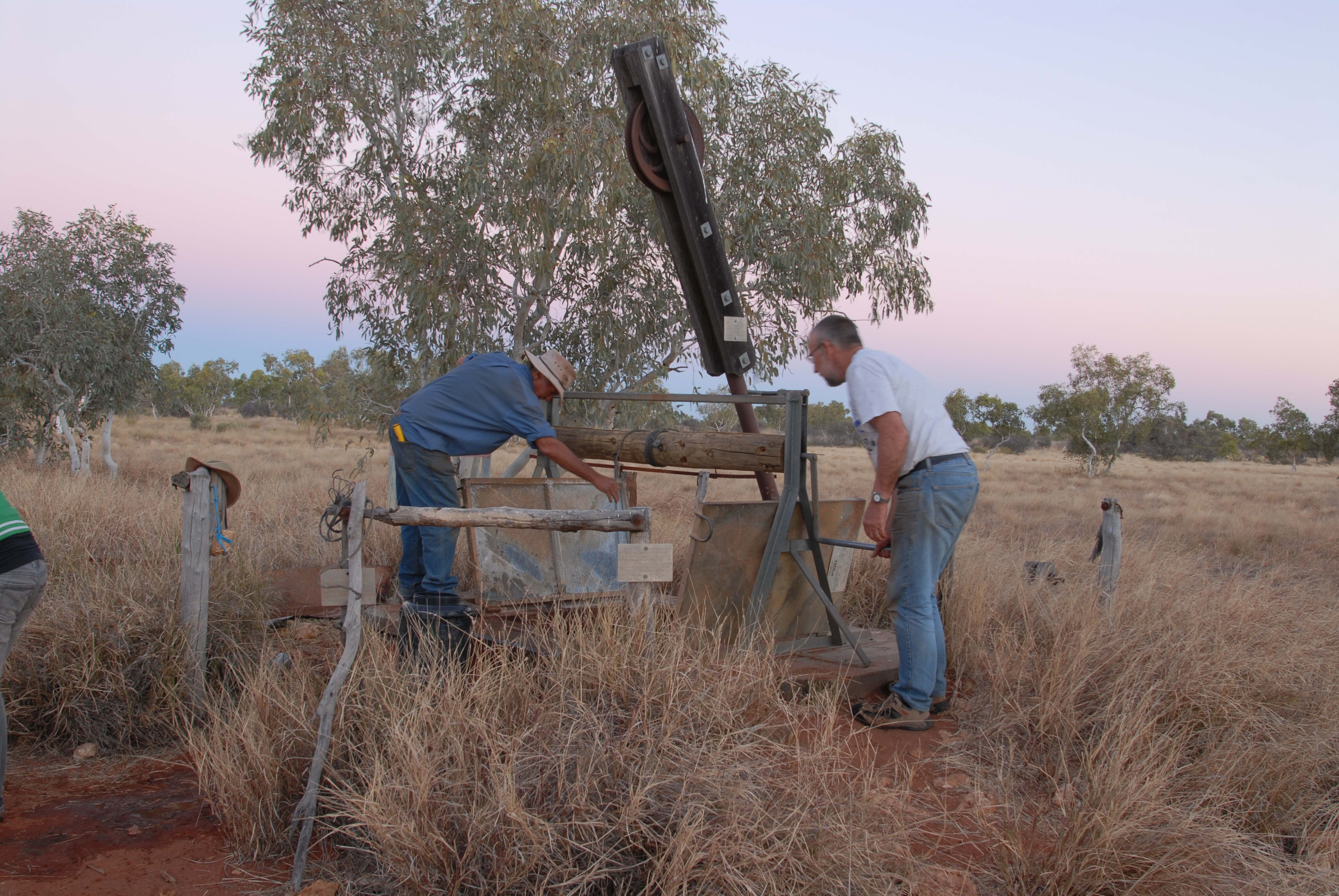
In 1983 the late David Hewitt, who had travelled the stock route some years earlier, saw the need for a reliable water source about halfway along the stock route. He led a well-equipped party to restore Well 26, the first well to be reconditioned in modern times. That well has been overhauled a number of times since and is still a good source of water, although at times it can be tannin stained.
Since then a number of the other wells have been reconditioned and toilets built, most by Track Care WA, and if you can help or donate a few bucks it would be great (trackcare.com.au).
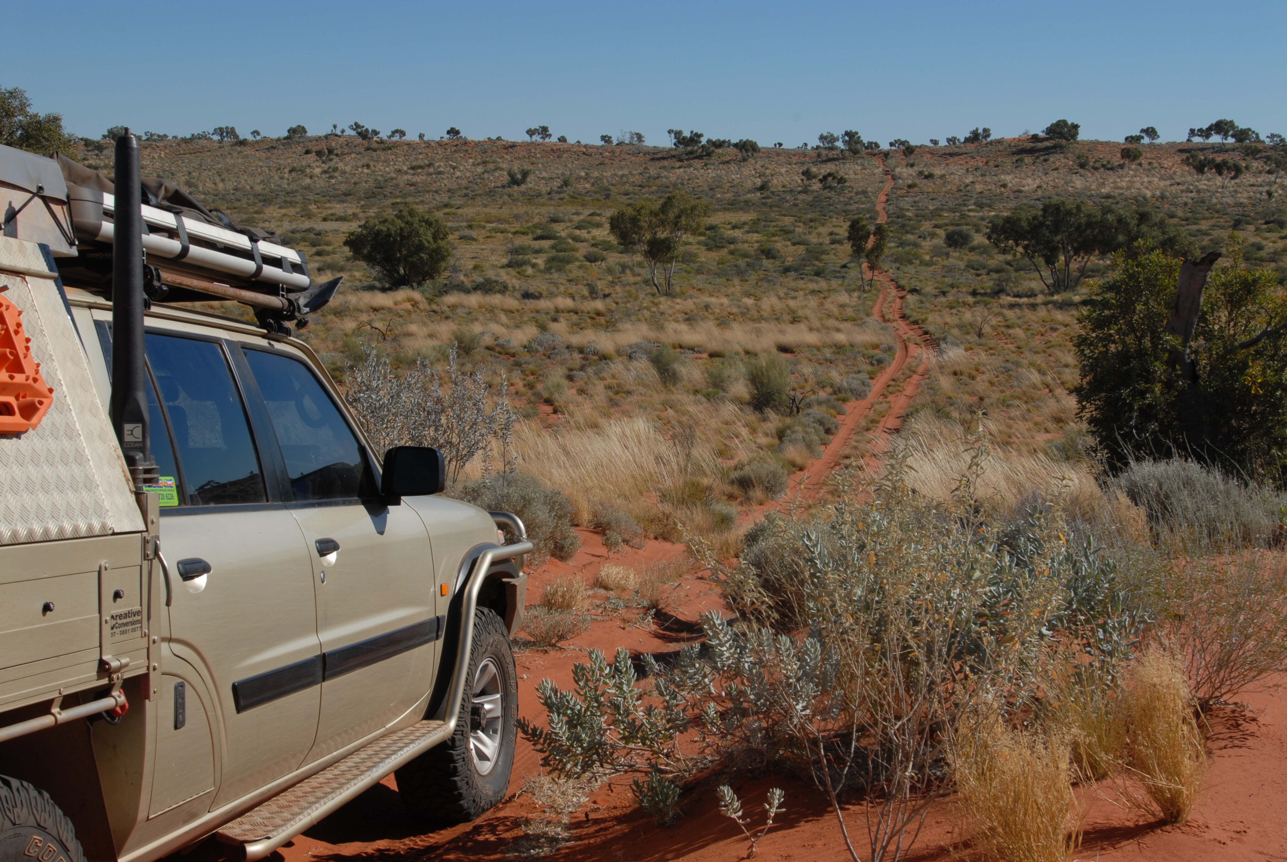
On our recent trip with a group from Moon Tours (www.moontours.com.au) we cleared the grass from around Well 26, hoping to save it from the fires that often decimate the country and take out any wooden structures around the wells; if you could do likewise when travelling the CSR it would be of great benefit.
From the mid-1980s to around the turn of the century, a fuel dump was established each year at Well 23 to supply those making the long trek along the CSR. Today, Kunawarritji Community services that need.
While the 1980s saw the number of travellers on the stock route grow to double figures, today many hundreds do the trek. Some say it’s easier than it’s ever been; don’t worry, it can still be a challenge. One of the greatest attractions for many travellers along the CSR is the history that is so tangible and touchable.
Every one of the historic wells sunk along the route has a different story to tell, and there are plenty of examples of ancient Aboriginal art that tell the story of the ancient lifestyle of these desert wanderers. Today, if you are lucky, you’ll meet their descendants as they act as rangers along the stock route.
At Weld Springs a low circle of rocks marks the site of a ‘fort’ built by the explorer John Forrest in 1874 to protect him and his small band of men from Aboriginal attack. At Well 40 is the grave of Michael Tobin, who was speared by Aboriginal man Mungkututu, while nearby is the headstone marking the probable burial site of Mungkututu, who was in turn shot and killed by Tobin.
At Well 37 the graves of two drovers taking the first mob of cattle down the CSR can be seen, along with a member of an oil exploration team who was killed in 1922. Other graves along the CSR mark the site of where a stockman died, either from thirst or from a simple accident far from medical help.
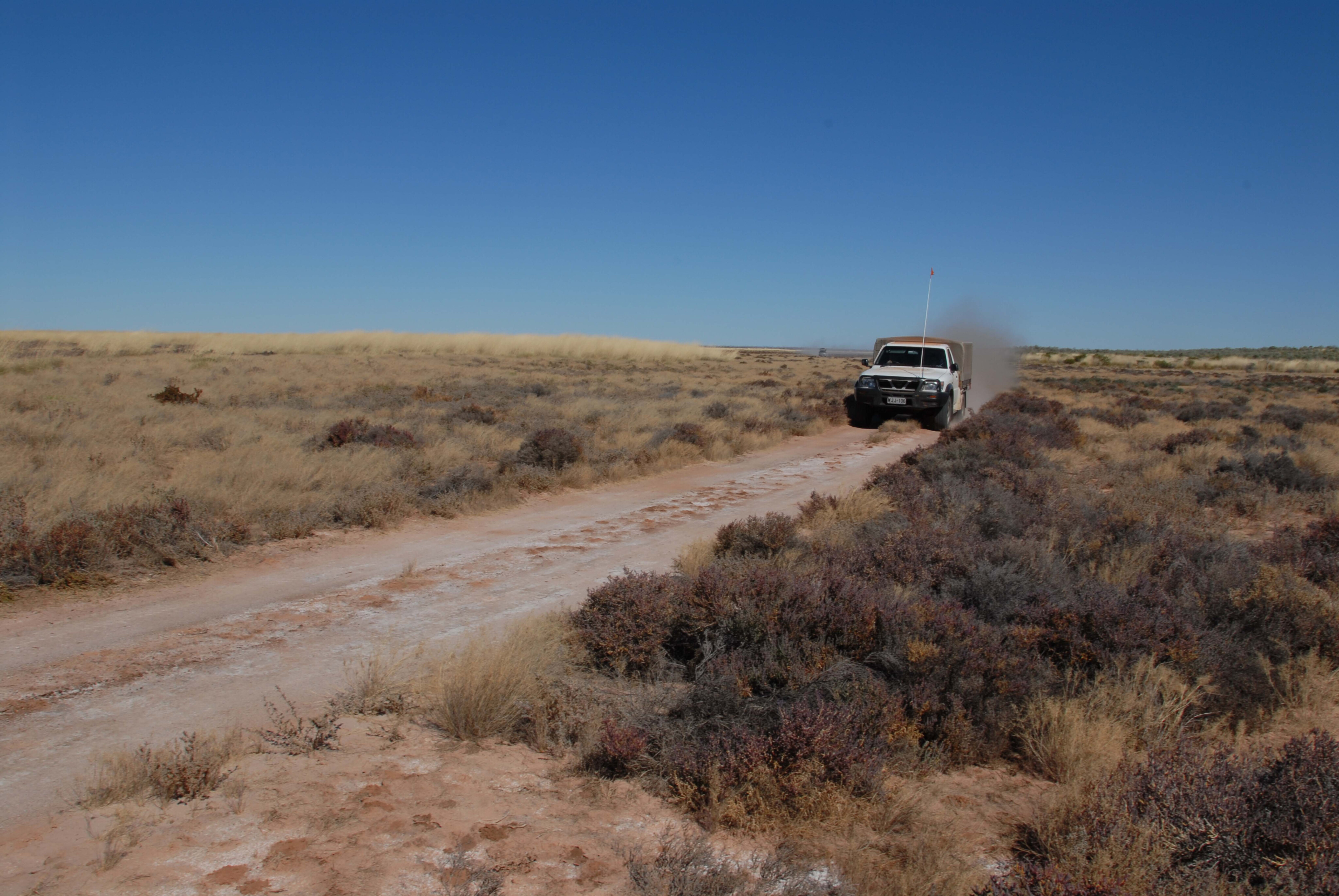
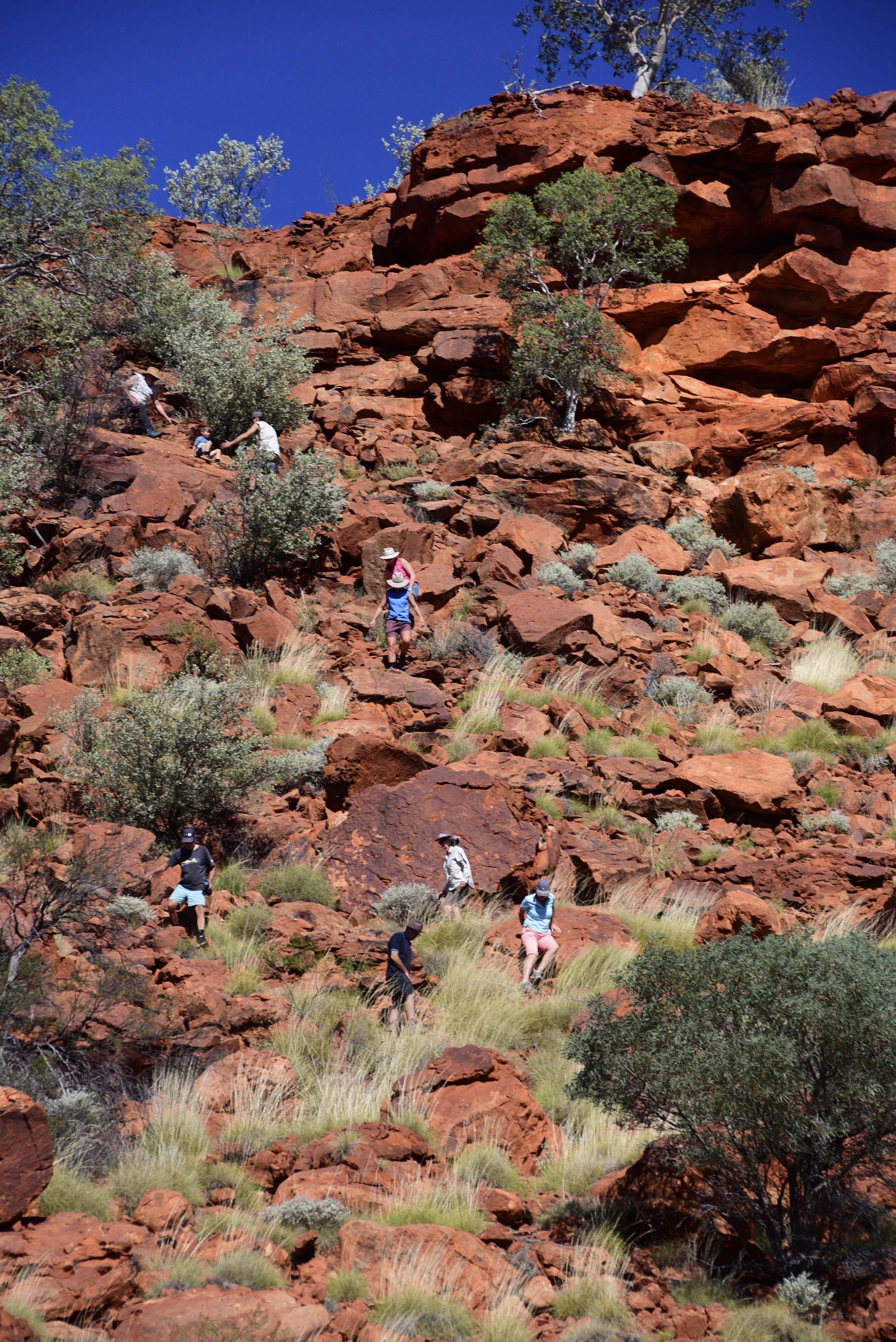
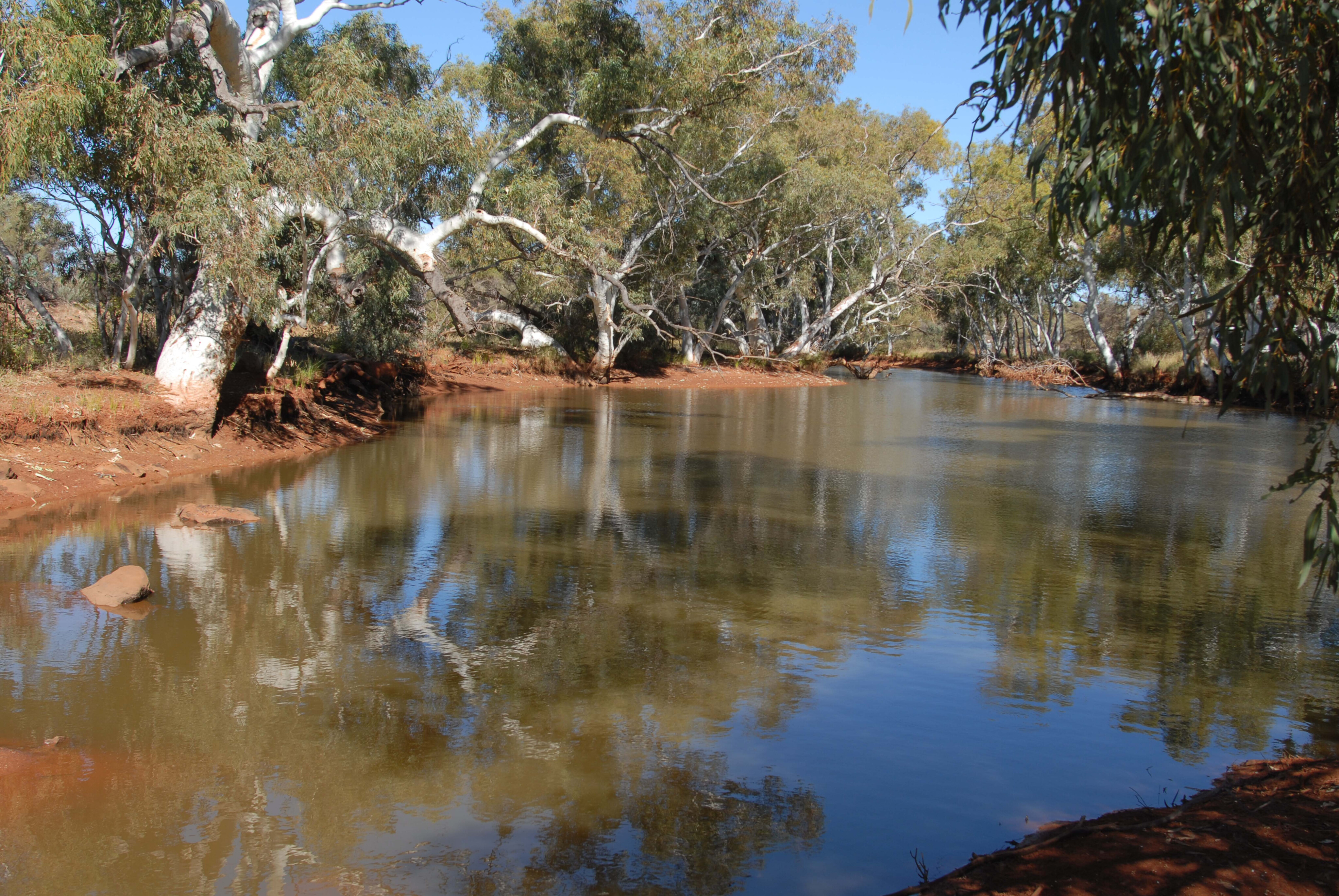
Another reason to travel along the CSR is the variety and beauty of the surrounding country itself. Wide, sweeping vistas of long, steep-sided dunes roll away to the horizon, and vast seas of waving golden spinifex stretch off into the distance. Forests of desert oaks whisper a sigh on the faintest of winds, while sheer rock escarpments and low, rugged mountain ranges hide secluded valleys and verdant oases surrounding tranquil pools of life-giving water.
Before you go
If you haven’t done any desert travel before, start off with something not quite so daunting as the Canning Stock Route. Take a four-wheel driving course at the very least, and travel the SA/Vic Border Track through the Big Desert or cross the Simpson Desert before attempting an expedition along the CSR.
Don’t travel the CSR on your own. It is far too remote if anything goes wrong, and you might need to rely on a mate to tow you out if you get stuck. Joining a commercial tagalong trip is a great way to see this remote part of Australia.
Allow at least 14 days to travel from Wiluna to Halls Creek. The more time you give yourself the better.
The best time to travel the CSR is from May to September. It is way too hot in the warmer months.
Permits
Most of this country is designated as Aboriginal land. A CSR permit allows travel between Wells 5 and 51. This can be obtained on-line at permits.canningstockroute.net.au/default.aspx.
Currently the permit costs $295 for a 4x4 or motorcycle.
If you need to access the CSR via Granite Peak (ph: (08) 9981 2983) or Glen-Ayle stations (ph: (08) 9981 2989) you’ll need to contact them directly to organise and pay for a permit to cross their land.
Trip planner
Vehicle prep
All vehicles must be in tip-top condition for a trip along the CSR. Have your vehicle inspected and maintained by a dedicated 4x4 service centre; most car company workshops have no idea of what the Canning and other desert tracks can do to a vehicle.
You must carry ample fuel and plenty of water (see below). You will need basic tools, a multimeter for electrical faults you are sure to have, and some basic spares such as fuses, fuel and oil filters, and a serpentine belt (fan belt).
Because of the corrugations you might want to carry a spare shock absorber or two, and on CSR trips we always carry spare wheel studs. For modern vehicles an OBD2 scan gauge is essential for fault finding (autophixaustralia.com.au).
A recovery kit is essential for each vehicle and at a minimum should include a snatch strap and shackles, and a pair or more recovery tracks.
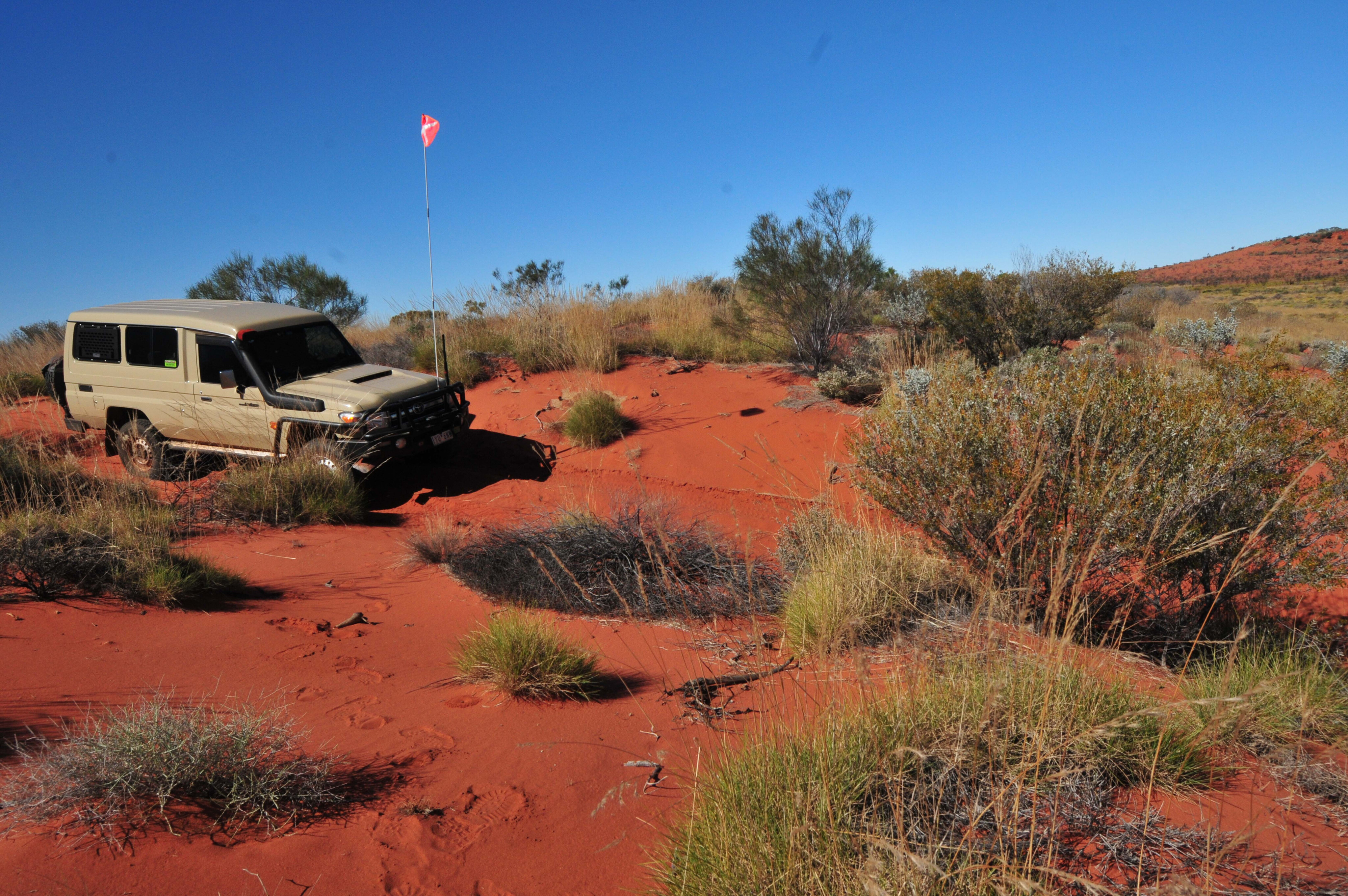
With the increased traffic on the CSR it is essential to run a sand flag and to use your UHF to call periodically to let others know where you are on the track and the direction you are travelling in; much better to be cautious than to have a head-on at the top of a sand dune.
First aid
In addition to a good first aid kit (www.arb.com.au/general-accessories/first-aid-kits) every traveller needs to carry their own prescription medicine, as well medicines for diarrhoea, bites and stings, and a general antibiotic.
Most Aboriginal communities have a health centre but don’t expect 24/7 service; the solitary nurse in these places can be stretched.
For medical requirements and emergencies, the RFDS can be contacted around the clock on 1800 377 359 or +61 (2) 9941 8888, or via their WA base on (08) 9417 6300.
Emergency evacuations are possible from airstrips located at Parngurr, Kunawarritji or Billiluna, or the Glen-Ayle, Cunya or Granite Peak properties in the south of the CSR.
Fuel and supplies
Fuel consumption
Fuel usage will vary between vehicles and track conditions at the time of travel, but expect much higher consumption than when driving other outback tracks because of the 1000 odd sandhills you will cross.
For the 1000km from Wiluna to Kunawarritji (it’s only 650km from Kunawarritji to Billiluna) expect a V8 diesel Cruiser to use around 200 to 230 litres of fuel; a petrol Cruiser will use significantly more. Smaller four-cylinder diesels don’t get much better out in this country with a HiLux and the like using around 190-200 litres.
Wiluna
Wiluna Traders for fuel and last minute supplies – (08) 9980 6011.
A caravan park should be open for the 2025 season.
The Tjukurba Art Gallery and the Canning-Gunbarrel Discovery Centre are open Monday-Friday 9am to 4pm, and on weekends by appointment; they’re worth a visit.
Kunwarritji
Kunwarritji Store (Well 33) for fuel and supplies – (08) 8956 4935
Billiluna
Billiluna store for fuel and supplies – (08) 9168 8066
Halls Creek
Halls Creek has a number of servos and stores. The caravan park has been closed for the last two years. Will it open for 2025?
Water
While there is a varying quantity and quality of water at some of the wells, you’ll be pleasantly surprised at how much water is available. Still, carry at least 60 litres of potable water per person.
Communications
You’ll need UHF radios between vehicles and a HF radio, satphone or StarLink for long distance communications. A two-way satellite communicator or EPIRB is the absolute minimum if no HF or satphone.
Recovery
Vehicle recovery can be expensive so be prepared with some form of insurance or Total Care – make sure it covers remote tracks like the Canning.
For outback recovery there is Andy Sutcliffe based in Laverton (0428 196 306) and Pilbara Towing (0407 380 407).
Maps and Guides
The best up-to-date guide is Phil Bianchi’s The 4WDriver’s Guide: Canning Stock Route - www.philbianchi.com.au/publications/canning-stock-route/the-4wdrivers-guide-canning-stock-route.
Phil has also written the definitive history of the establishment of the stock route called Work Completed, Canning.
Westprint’s The Canning Stock Route adds a lot of history notes to the detailed map – https://meridianmaps.com.au/product/canning-stock-route-digital
The Hema Maps Great Desert Tracks Atlas and Guide is excellent and well researched, as is the series of four maps – www.hemamaps.com
Canning Stock Route distances*
Wiluna to Halls Creek (1810km)
Wiluna to Well 9 (300km)
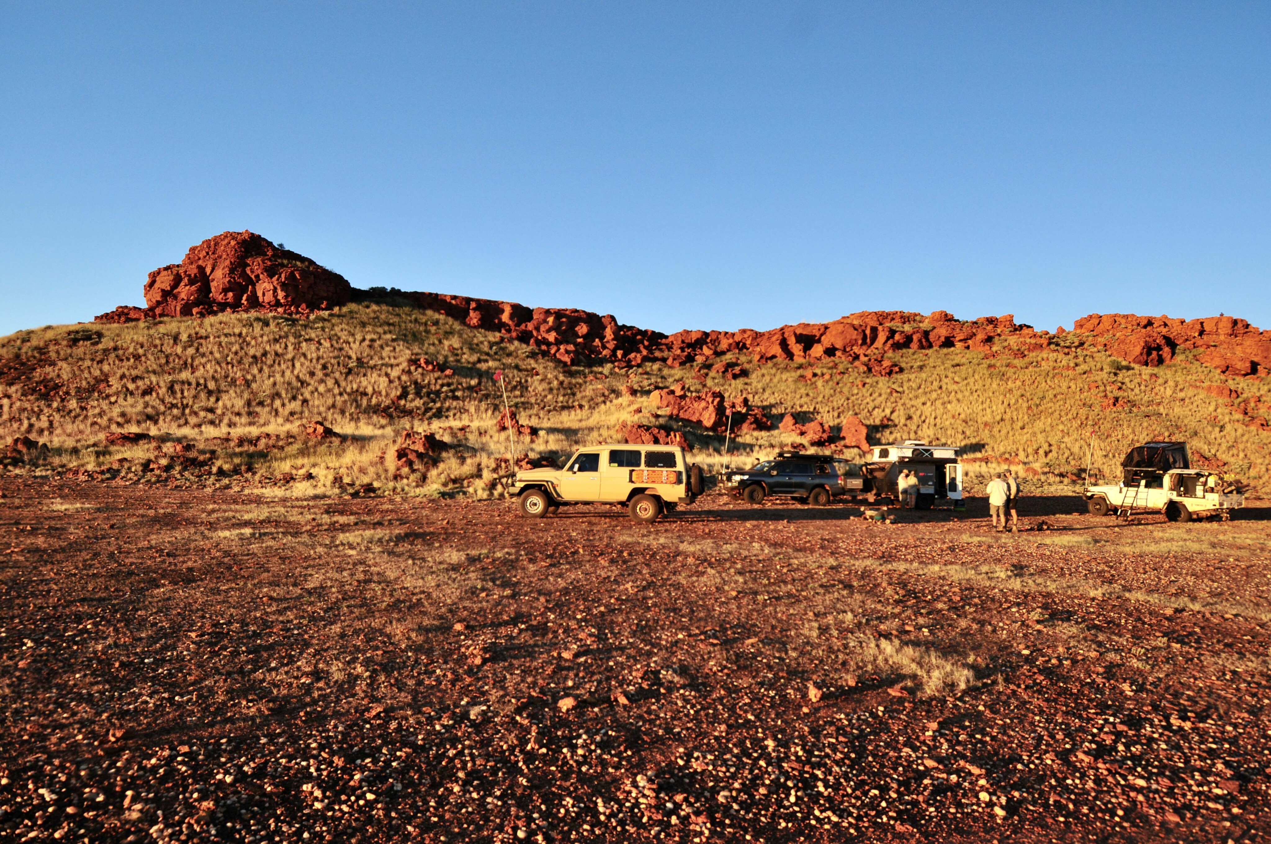
The stock route along this section travels across pastoral land and during times of heavy rain can be closed to all vehicles. Alternate routes on to or off the Canning can be from Well 5 or Well 9. You will need to contact the station involved and pay to use these tracks.
From Well 5 a track leads via Granite Peak HS to a good road to Wiluna.
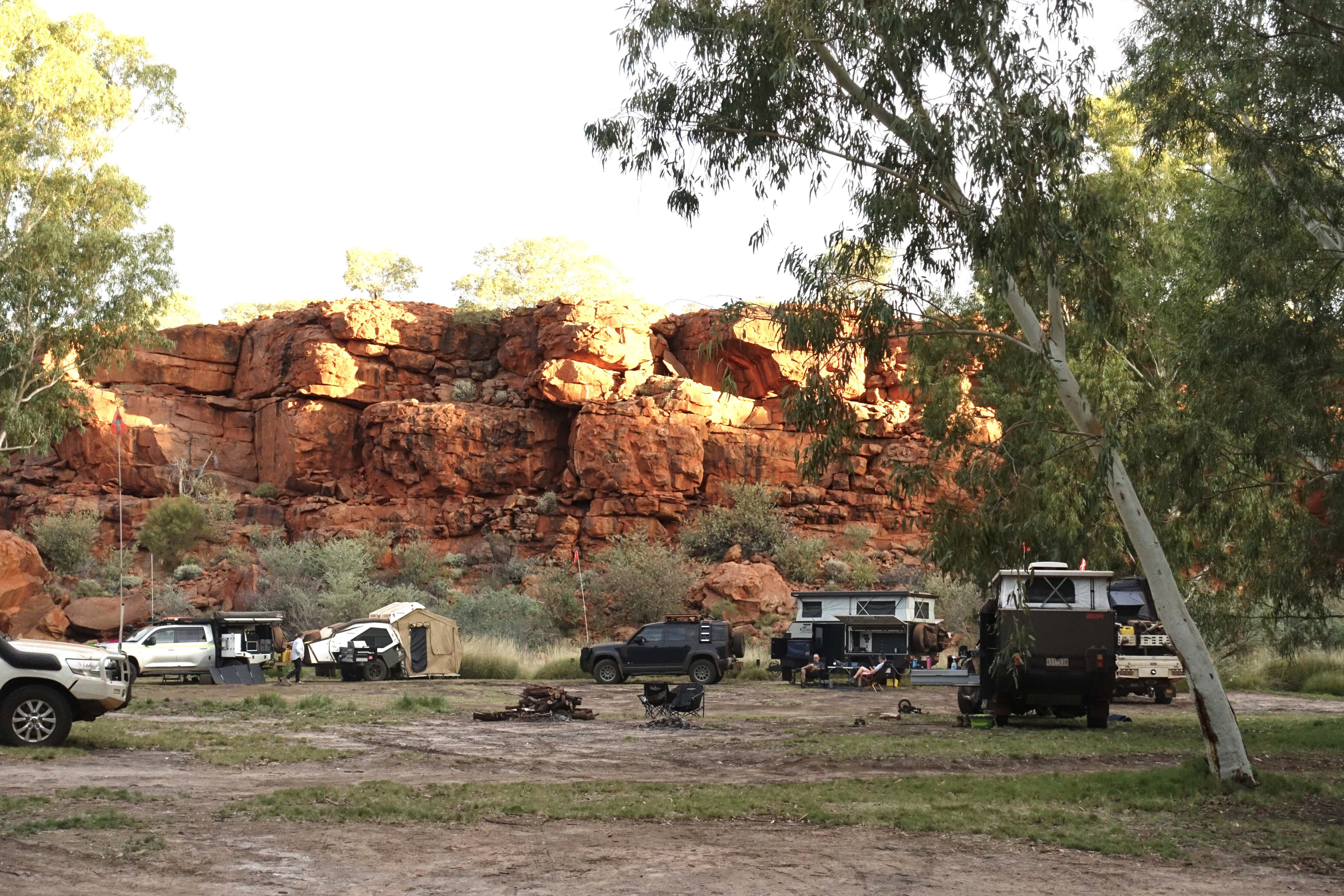
Well 6 (Pierre Springs) is one of my favourite camps on the stock route. Good water and a toilet can be found here.
Well 9 is Forrest’s famous Weld Springs and is now contained in a Historic Reserve. At this point the track from Glen-Ayle HS joins the CSR, from either Carnegie homestead or Wiluna.
Well 9 to Durba Springs (220km)
After leaving Well 9 you come to the end of the pastoral country and are soon in the sandhills, where the real adventure begins. You cross the first sandhills heading for Well 11. North of Well 16 the track begins to skirt the western edge of the Durba Hills; Canning’s cairn is easily visible and it’s worth the climb. Take a break and spend at least two nights at Durba Springs.
Durba Springs to Georgina Bore/Talawana Tk (180km)
North of the Durba Hills is some of the toughest country on the Canning. Further on, you cross Savory Creek (can be daunting) and then skirt the western margin of the vast Lake Disappointment – take the detour to check it out.
North of Well 22 is the Talawana Track, and close by the junction is Georgina Bore, a great source of beautiful water and a good camp. West from here leads 85km to Parnngurr Community and its good store and fuel.
Georgina Bore to Kunawaritji & Well 33 (290km)
This section of the Canning offers some delightful variety, so enjoy the drive.
Well 26 offers water, a toilet and good camping.
A major graded track crosses the CSR 4km south of Well 33. Just 3km west along this relatively good road is the Kunawarratji Community and its fuel and store. Another 185km further west is Punmu Community, and further west again is the township of Marble Bar.
East along this major track leads to Len Beadell’s Gary Highway with the Kiwirrkurra Community 375km further. Alice Springs is a mere 1170km to the east.
Well 33 offers a great camp, good water and a toilet.
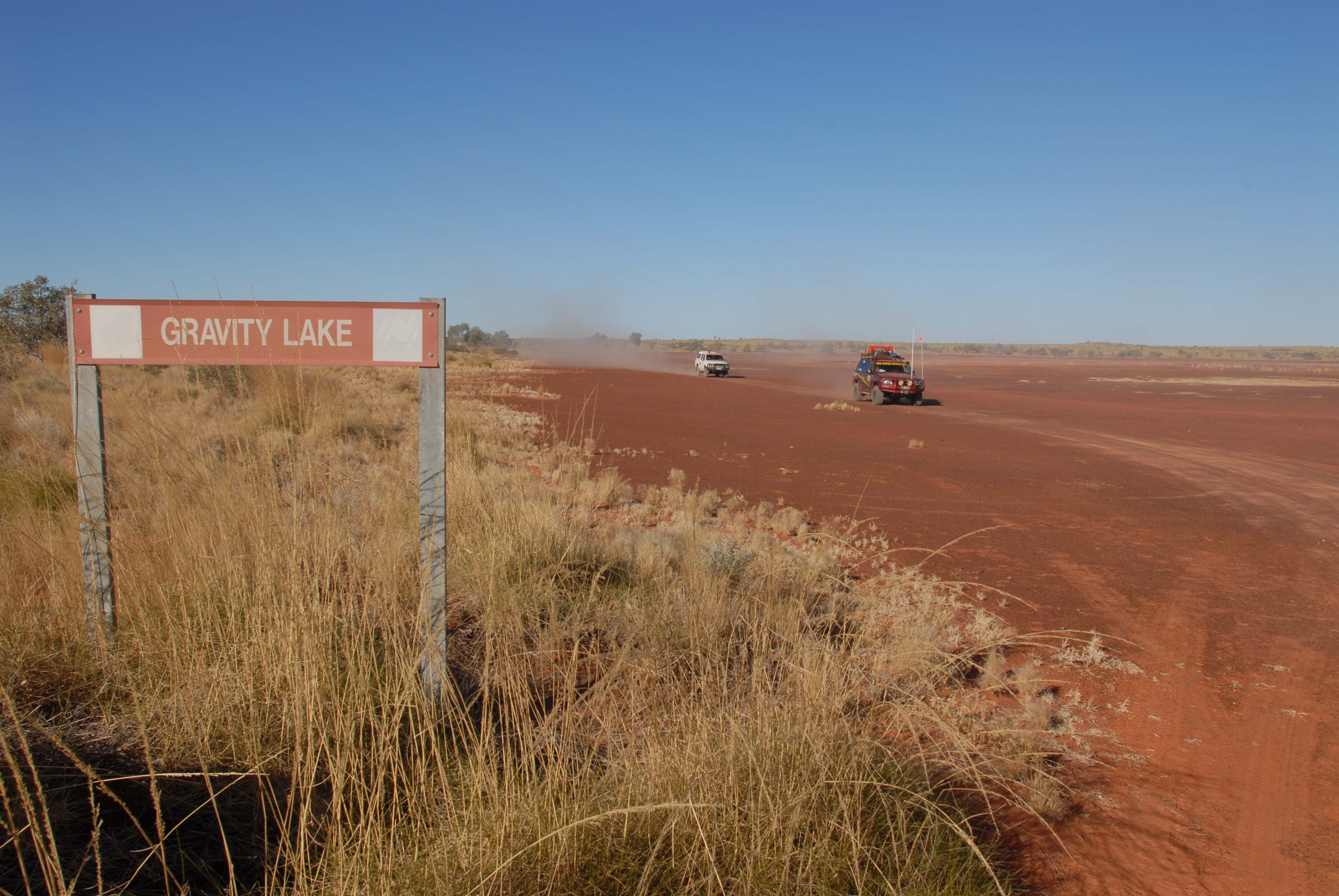
Well 33 to Well 39 (165km)
Some of the most historic and poignant places lie along this section of the stock route. Take your time and make the effort to see it all. The corrugations can be woeful in and around Well 33 to Well 35.
Well 39 to the Breaden Hills (300km)
In this section history and a variety of desert landscapes vie with one another for attention.
Well 41 has good water and a toilet.
North of Well 43 there are some big dunes to cross before coming to Well 46 and its good water and pleasant campsites.
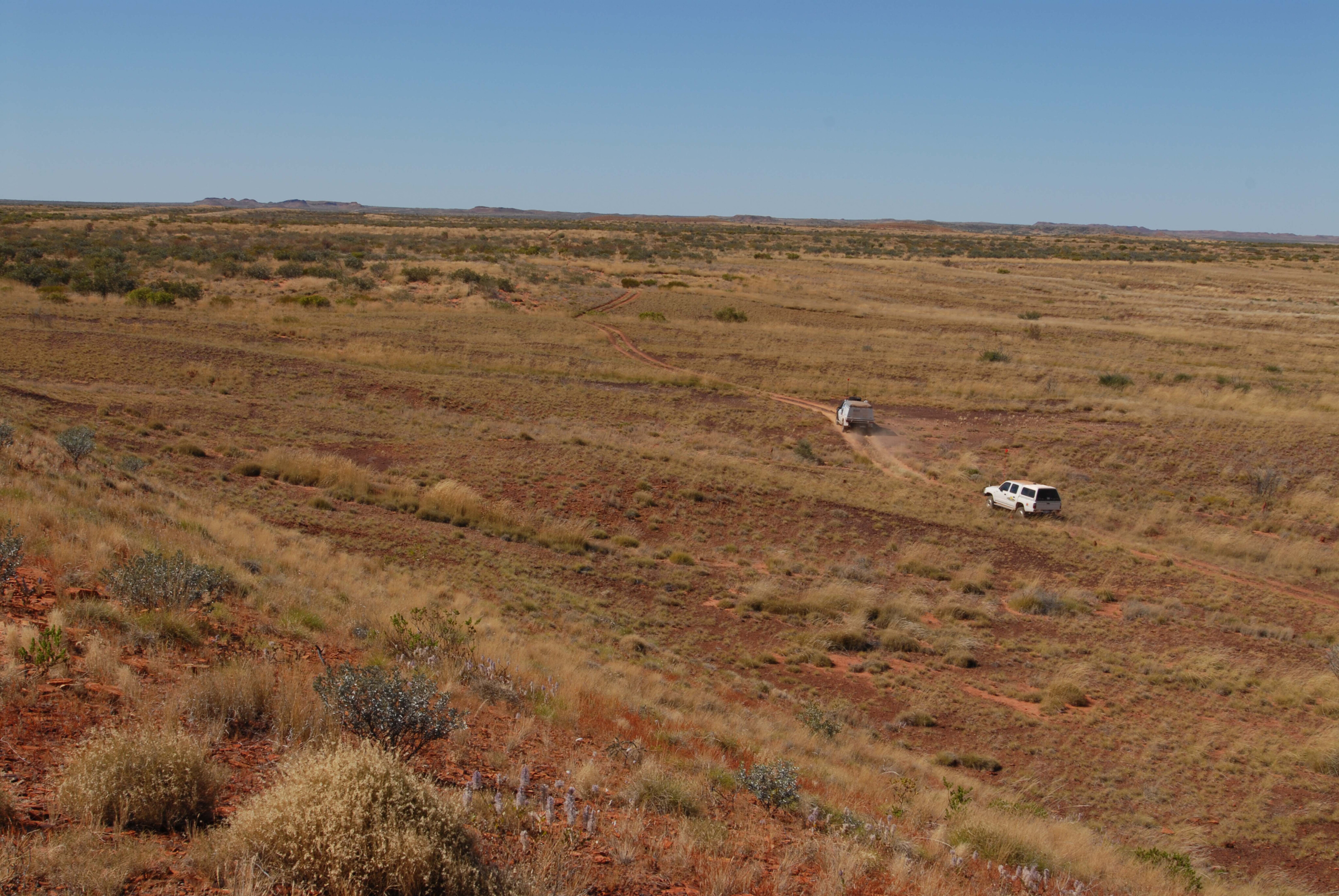
Breaden Hills to Tanami Road (180km)
The end of the stock route looms.
Well 48 is close to the picturesque Breaden Hills and its attractions. Once north of Breaden Hills, you are back into remote and rarely used pastoral country.
Well 49 has some of the best water on the Canning, and Well 51 with its disused windmill is the last on the stock route.
An expansive Lake Gregory can cut the normal track along the stock route as it did in early 2024. The lake will still have water in it in 2025 but should have dried enough (barring any heavy rains in the 2024-25 wet season) to use the marked route. A detour track heads around the eastern edge of the lake to the small community of Mulan and then to bigger Balgo.
You’ll pass Stretch Lagoon and its camping just south of the Billiluna Aboriginal Community and the Kururrungku Store with its fuel and supplies, just before joining up with the Tanami Road.
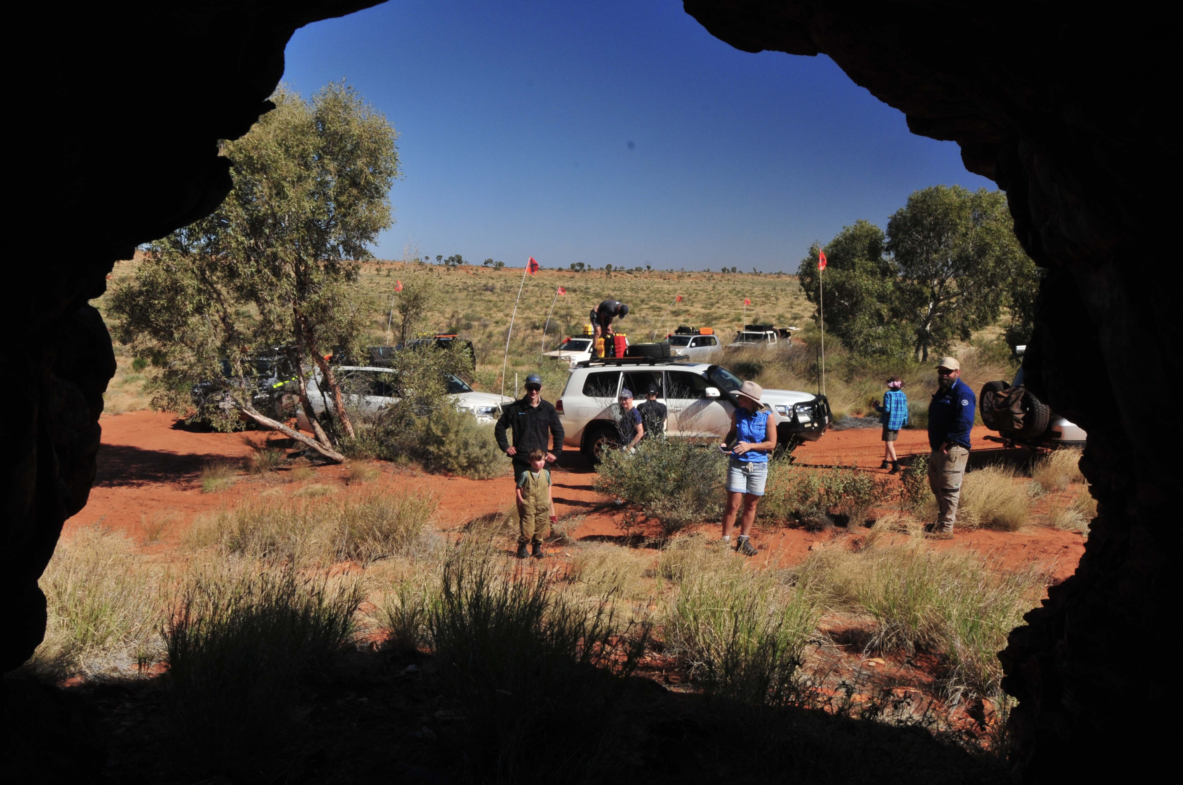
Tanami Road to Halls Creek (175km)
Turning west at the Tanami Road will lead you to Halls Creek, 175km away. Just 43km north along the Tanami Road is the turn off to the Wolfe Creek Meteorite Crater, which is well worth a visit.
You’ve made it – have a celebratory drink in the pub!
*All distances are approximate – depending on detours to wells and POIs.

COMMENTS