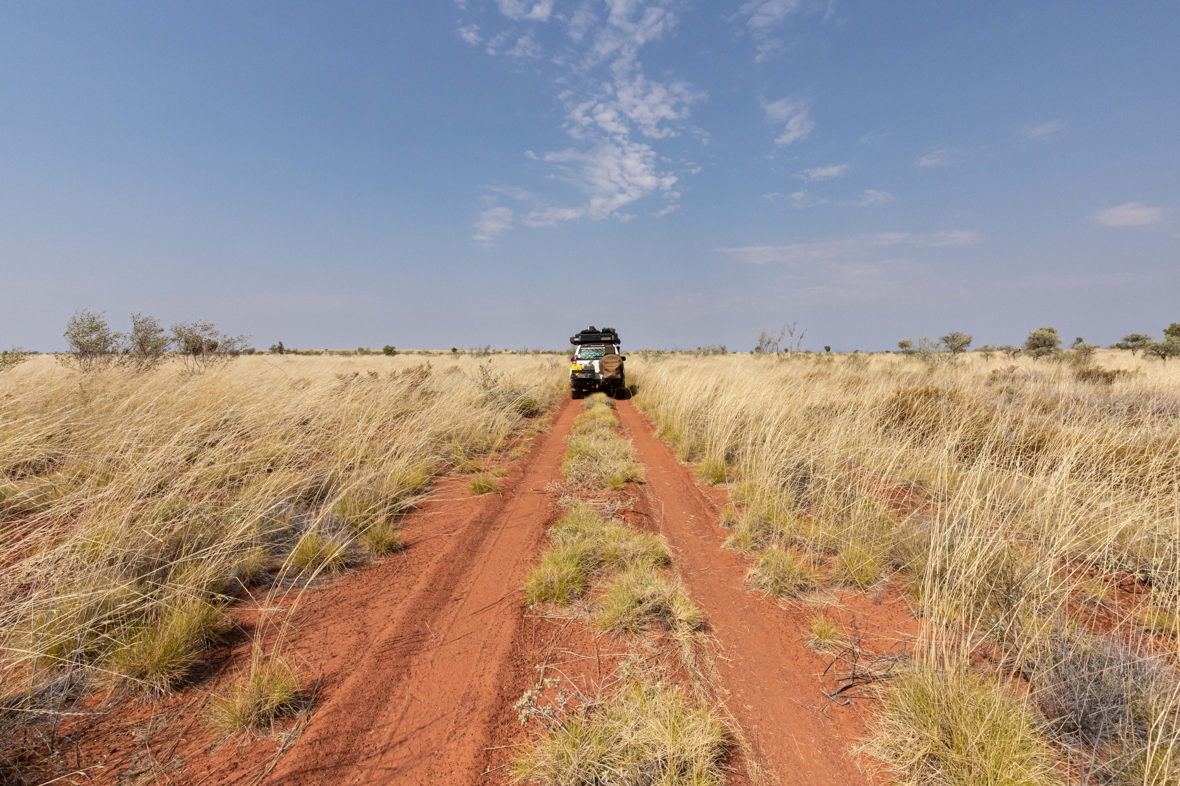
Cutting through the heart of Australia’s second-largest desert is an abandoned oil exploration track now known as the Nyangumarta Highway, formerly named the Kidson Track.
This remote track takes you from the white sands of Eighty Mile Beach to the remote Indigenous community Kunawarritji on the Canning Stock Route, and the country is spectacular. The track changes from washed-out gravel, overgrown in sections, to red sand stretches through colourful dunes and spinifex. Don’t expect to see anyone else out here – this epic track is rarely travelled.
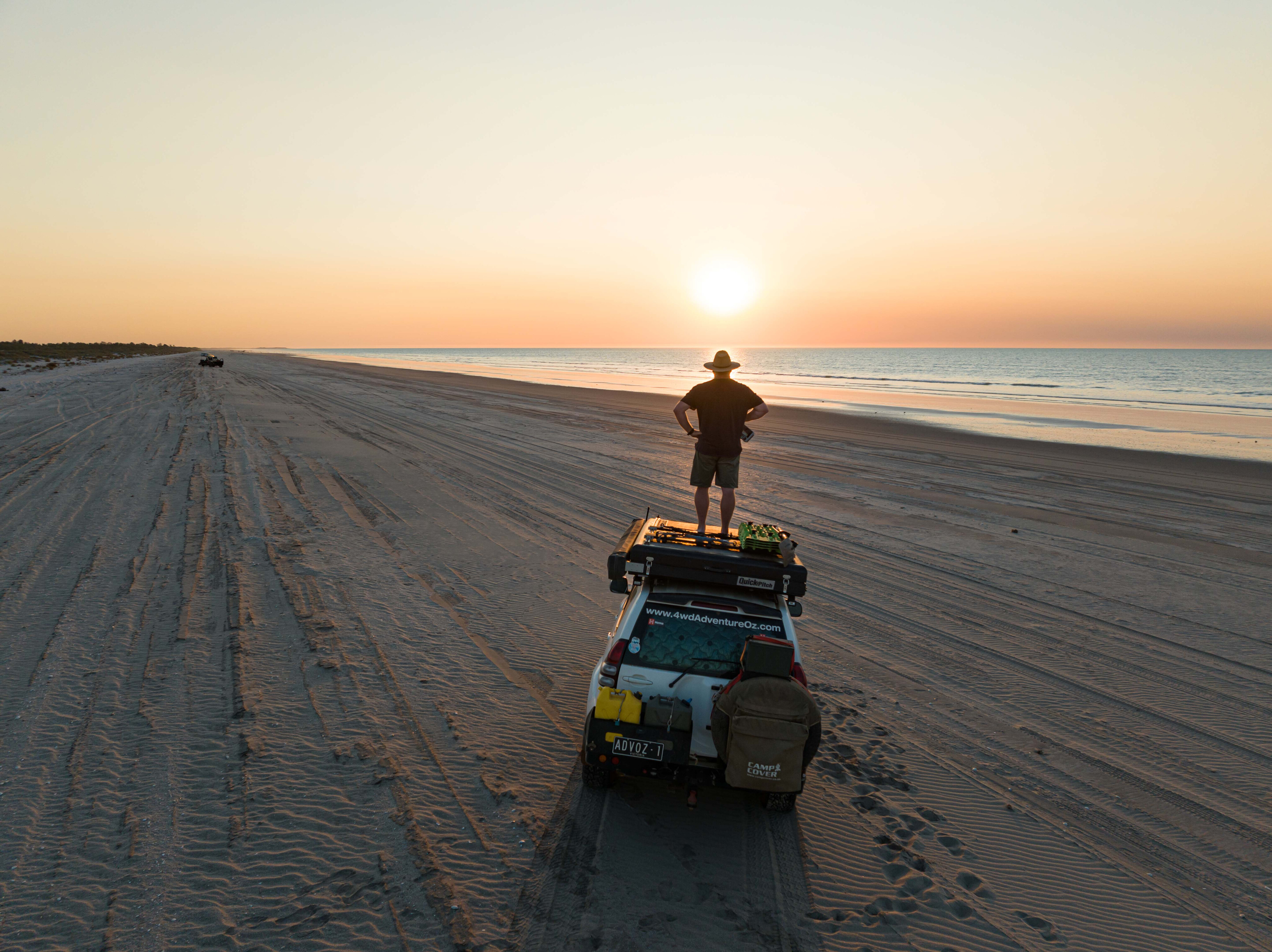
Eighty Mile Beach is an excellent place to spend a couple of days kicking back,and while the caravan park has great facilities, it’s the beach driving opportunities that raise the bar. The tidal movement is significant here so most days the beachfront is nice and wide with a mix of hard and soft sand, although the soft stuff isn’t likely to see you bogged.
It’s when the tide is high that you have the best chance to catch threadfin, blue nose salmon and mulloway from the beach. Access to the Nyangumarta Highway is only 1.4km north of the Eighty Mile Beach turnoff and is well signposted.
The first section of the Nyangumarta Highway is wide and smooth, which I found surprising until I spotted a “grader ahead” road sign. On UHF channel 40 (the channel for this track), the grader driver told me that once past the grid, I’d enter the permit zone, and the road would narrow a little bit before deteriorating severely further along, and that it would be a challenge to get through. That was music to my ears.
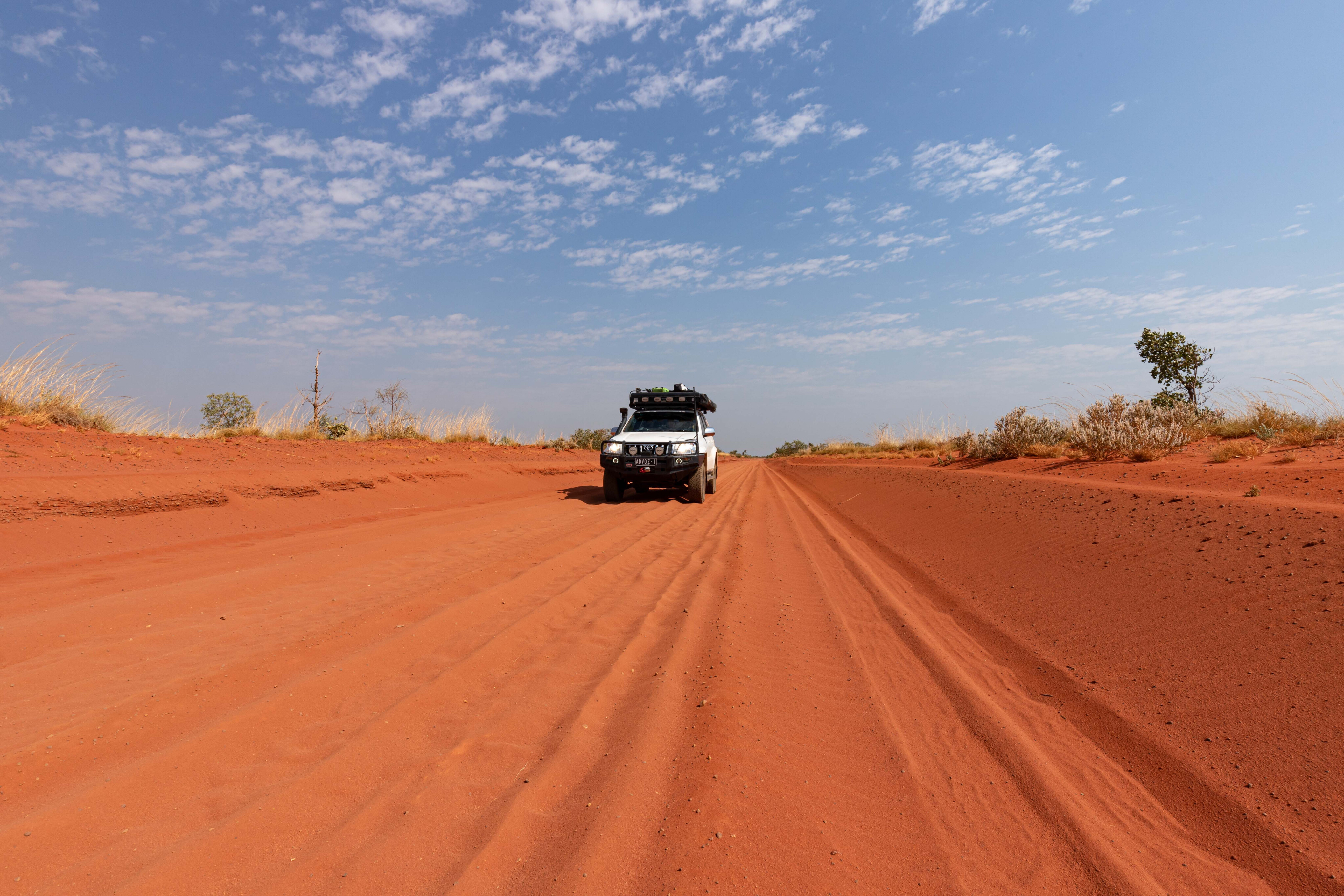
In some sections, the track narrows and the sand deepens, but a bit of momentum will get you through before the track opens up again and the road improves for a bit.
There are markers on the track every 10 km for UHF 40 so you can call ahead to alert oncoming traffic, and you should be able to hear oncoming traffic. The radio was silent this time as I was the only person travelling this route.
Previously known as the Kidson Track or Wapet Road, the track was created in the late-1960s by West Australian Petroleum Pty Ltd, a pioneer of oil and gas exploration on unallocated crown land. The name was changed to Nyangumarta Highway in 2014, as the road passes through native title lands including Nyangumarta, Kulyakartu and Ngurra.
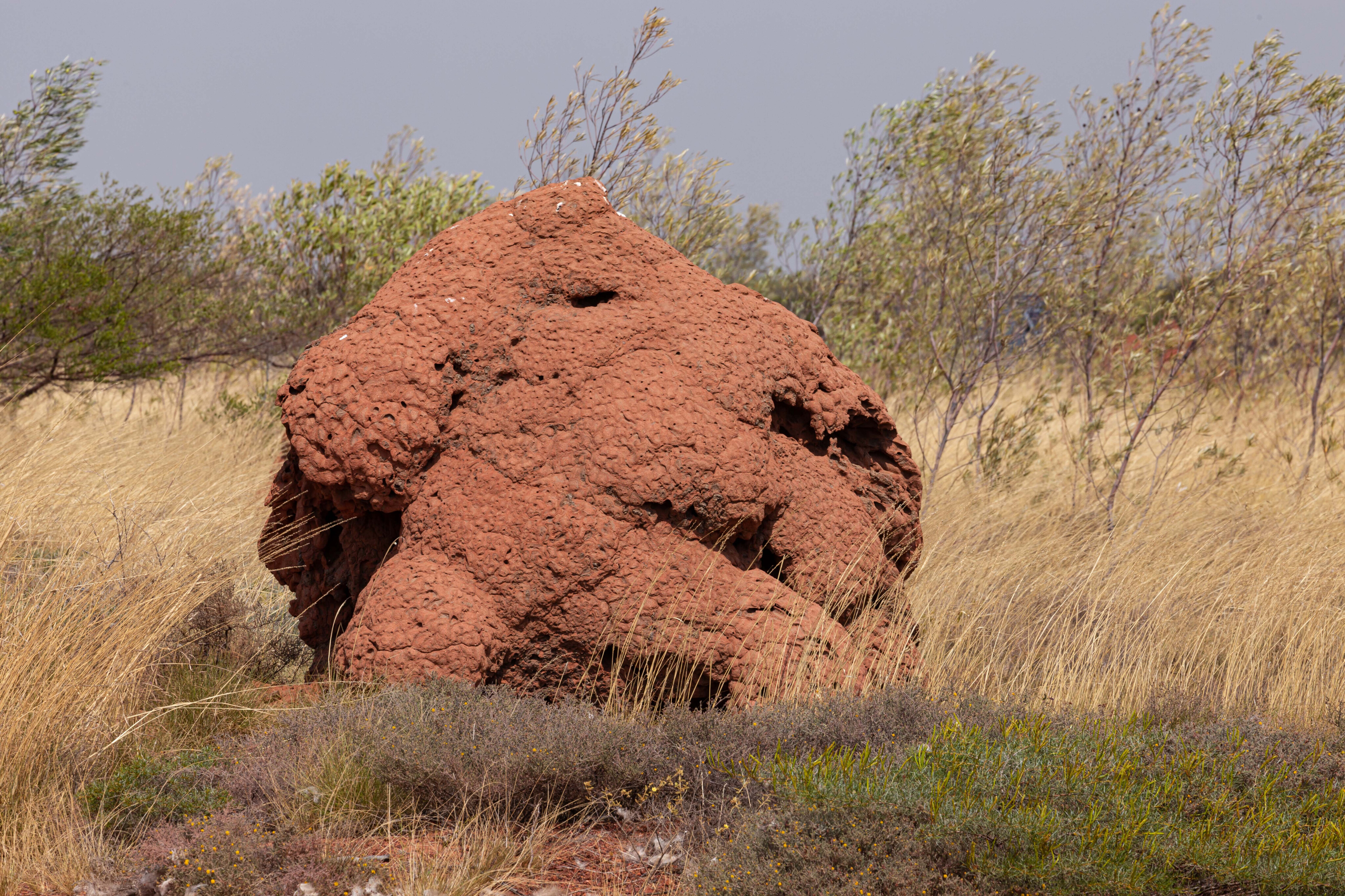
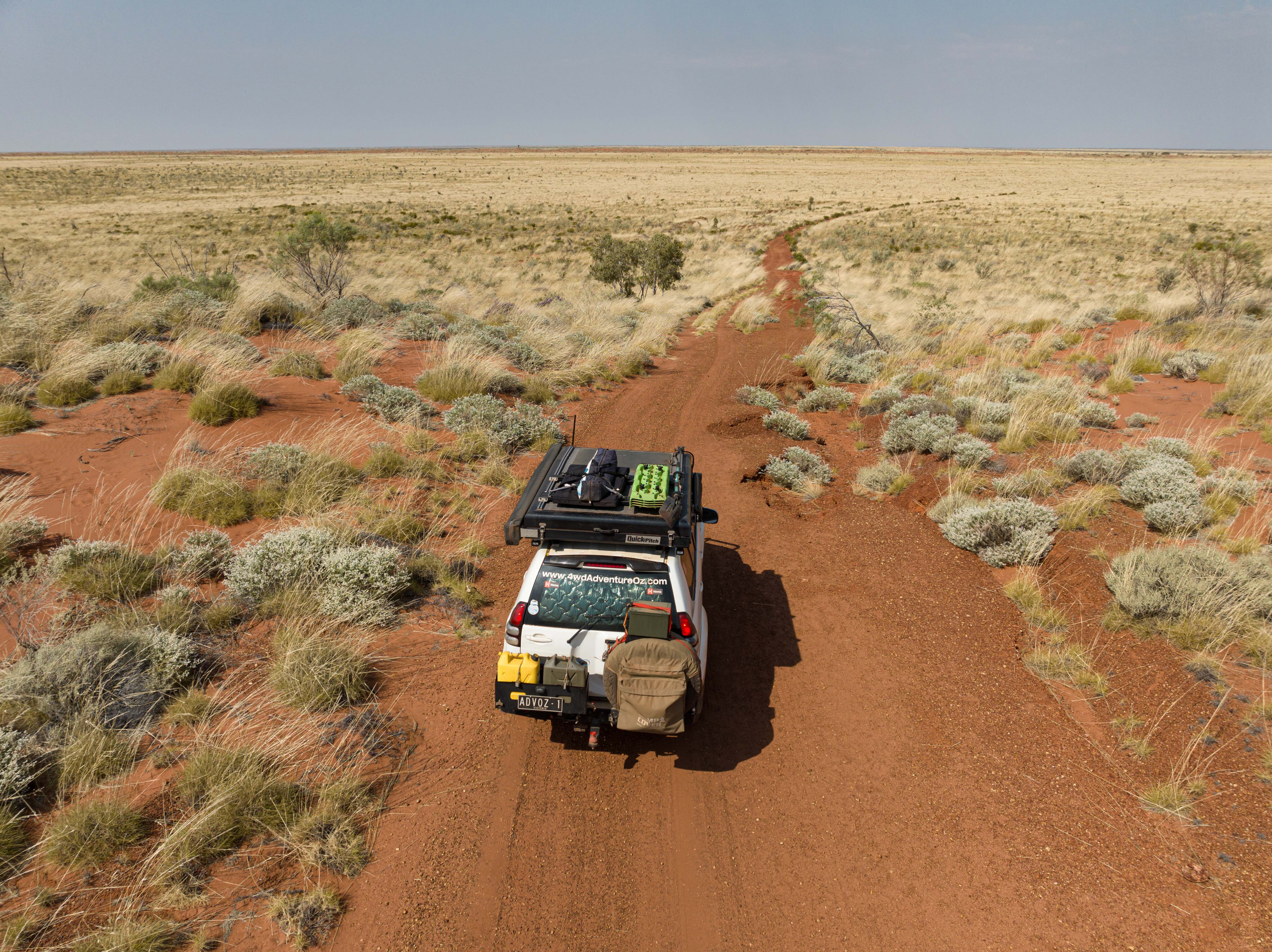
The colours of the desert out here are brilliant; burnt orange sand and termite mounds, golden spinifex and blue skies, it always feels like home to me when the landscape looks like this. You’ll pass by some rocky outcrops as the road cuts its way across the range.
The plains look like golden Mitchell grass, but it’s the spinifex’s seed heads that make it look like prime grazing land. In other places, you’ll find acacia and grevillea which are particularly beautiful when flowering.
A permit is required to drive the Nyangumarta Highway and to make use of the designated camping areas on the track, and this can be purchased from the Four-Wheel Drive Australia website. The permit also allows access to Naburu Rose’s Track.
Once your permit has been paid for, a brochure is provided which contains plenty of information on the history of the track, its importance to the Indigenous people, and a map highlighting points of interest, camping areas and restricted areas.
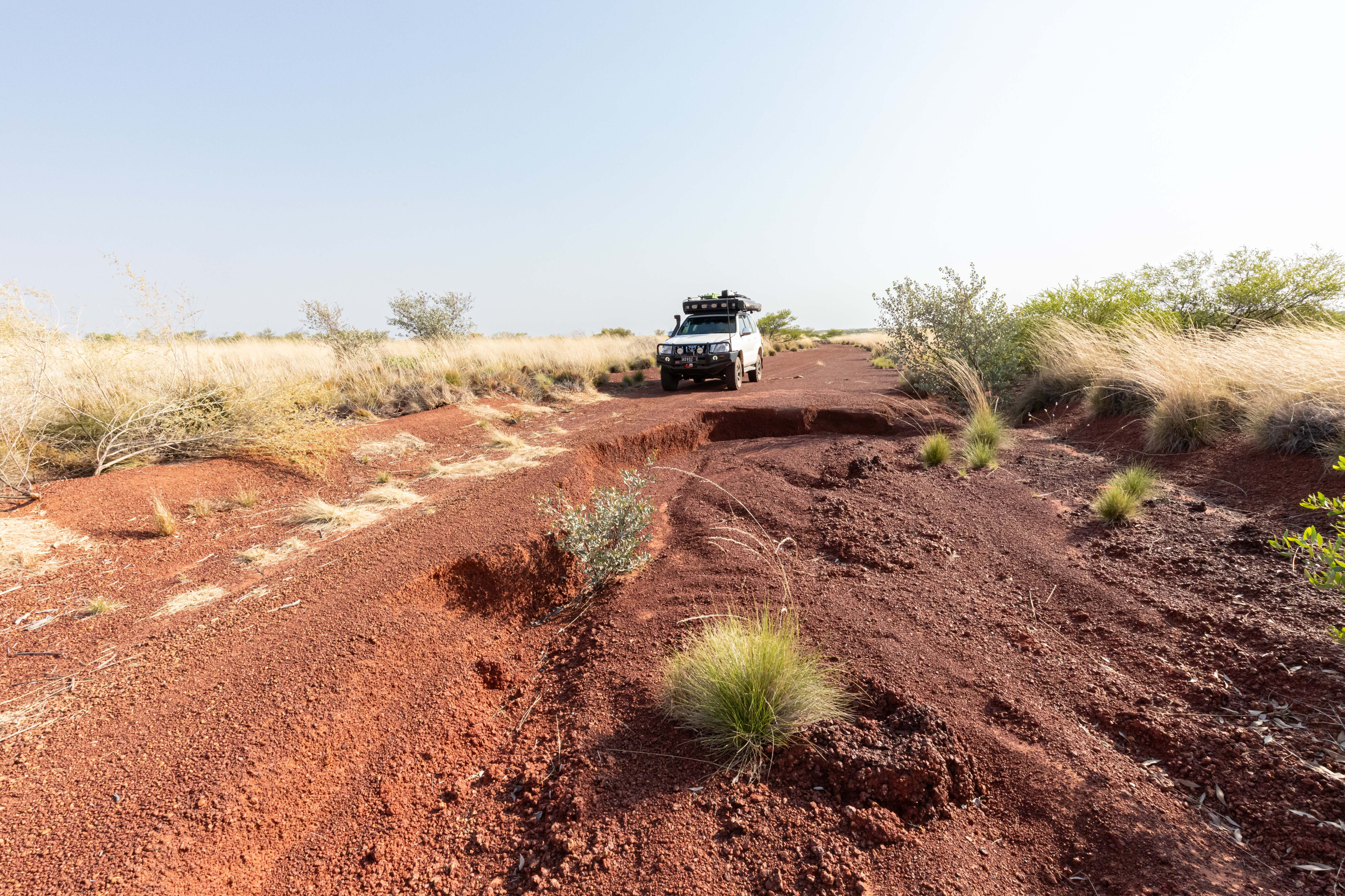
The first campsite is 85km from the Great Northern Highway and is named Djimo Ngurra (Camp One). It is an open clearing that sits on top of a small rise, so there is no shade.
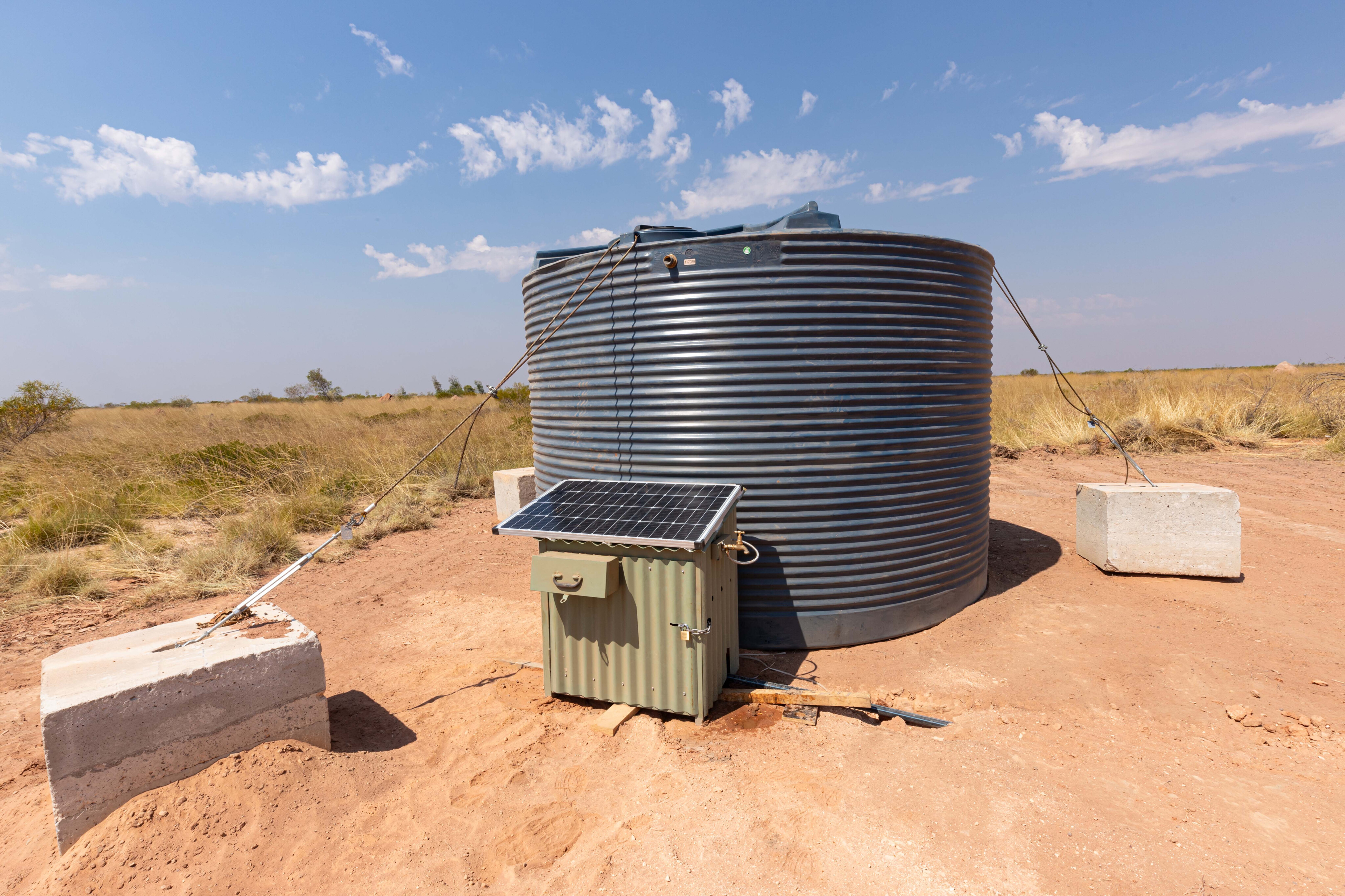
There are four drop toilets and fresh drinking water was available when I visited. A solar panel powers a 12v pump that pulls water from the tank, passing through two water filters. This unique setup is a great idea and could be used in other remote bush camps. It is a decent-size camping area that is suitable for a large group or for off-road trailers, however I would not want to tow along this track, knowing what is to come.
Continuing, you’ll soon pass a track on the right and from here the track narrows and the corrugations begin. This is what a remote desert highway is all about and from here track maintenance is rare to nil.
The worst corrugations are on the purple gravel sections whereas the sandy sections are good going with very few corrugations. It feels great to be back in the Great Sandy Desert.
A little further east is Djimakarra Soak, a day-use area not far off the track. This is a typical soak that has been utilised by the Nyangumarta people for generations. Older members of their group used to camp here as they passed between the desert and the pastoral stations on the coast.
Knowledge of soaks such as this one was passed on through song and ceremony, and by being shown country by knowledgeable elders. I had fun trying to locate the soak, eventually using a GPS coordinate from the old Hema Explorer app, and then discovering a very faint track that led to it.
Five kilometres east of the soak is the second designated campground called Djimakarra Ngurra (Camp Two), which sits atop an open cleared area with views across the plains.
It too has four drop toilets and drinking water was available at the time of my visit. This is a great concept that others could learn from, but all it would take is for someone to ruin it all by stealing the gear that makes this lifesaver work, or if there was no water available to fill the tanks. As it was only lunchtime, I decided to push on…
There are some restricted sections on the track that are significant to the Nyangumarta people, where you are not permitted to stop or take photos of the stunning outcrops. If you respect the conditions of the permit, this highway will stay open for years to come.
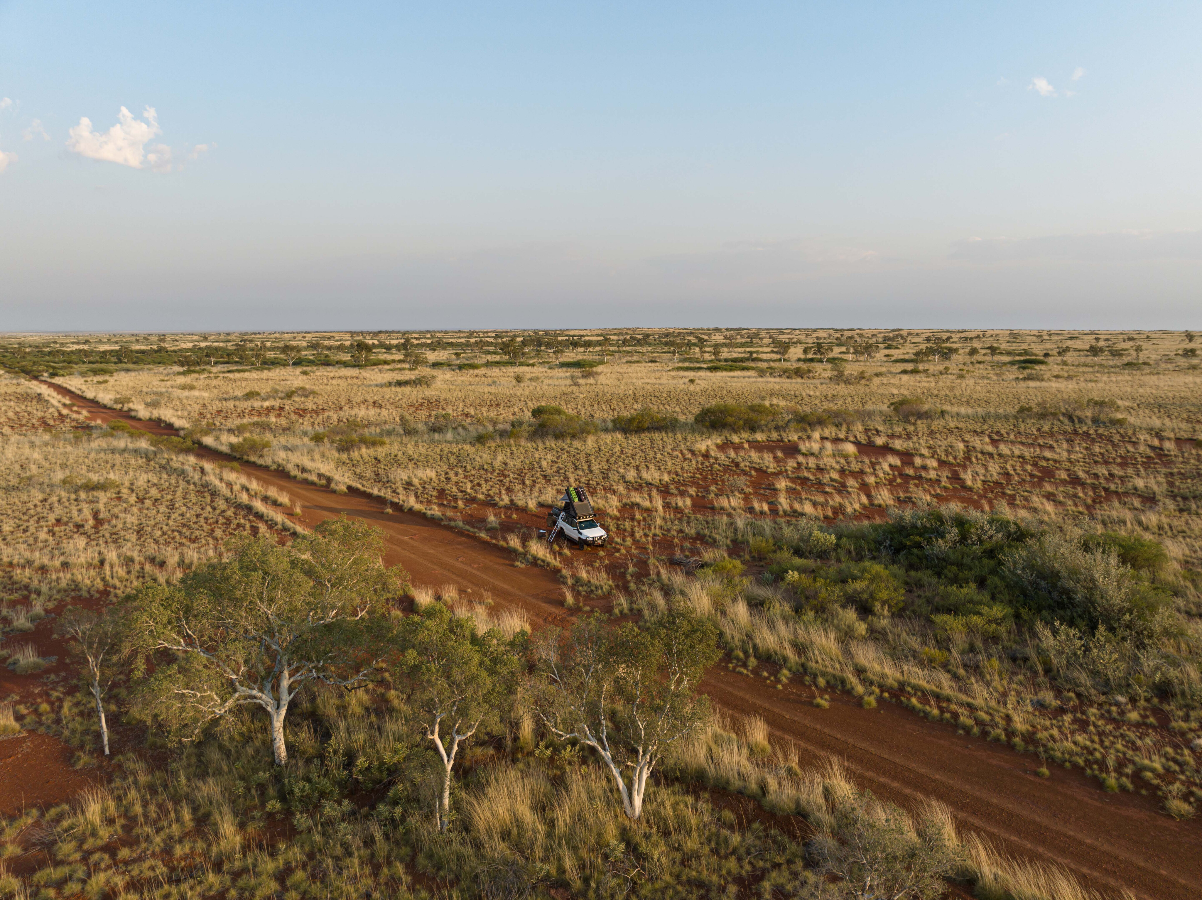
There are spots where underground water is close to the surface, where you can see stands of large ghost gums tapping in to stay alive. It’s quite amazing how much life there is in Australian deserts, both flora and fauna.
While I had yet to see any camels on this trip, I spotted plenty of footprints and camel poo, as well as scat from wallabies or kangaroos. Being 38°C outside, I wasn’t surprised that all creatures great and small were hiding.
The second restricted zone is another stunning outcrop which appeared vibrant in the afternoon sun. This is the roughest section of track so far and slow going but at least you get to enjoy the beauty of these cultural sites. The landscape along here is undulating so when you reach a rise, you are hit with great views into the distance, filled with spinifex, acacia and holly grevillea.
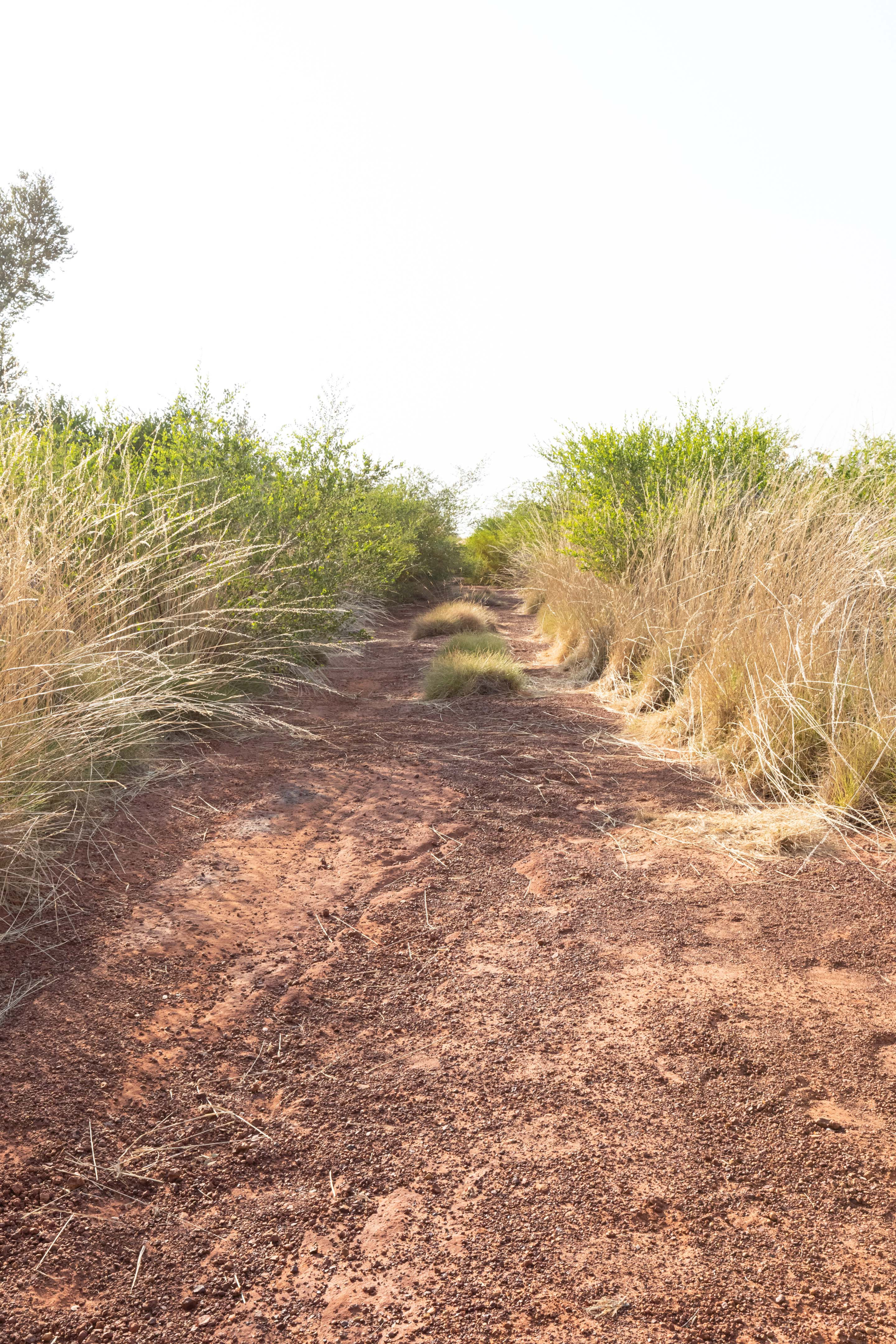
The track becomes overgrown with pindan wattle in sections, and you won’t be able to avoid some bush pinstriping.
Keep an eye on your UHF antenna too; it may be better to remove it. I discovered too late that mine started to rattle internally from hitting all the bushes having finally had enough of striking thick branches.
It’s really slow going as you approach Nabaru Rose’s Track with washouts and overgrown sections that continue for a little while after the turn-off as well. Nabaru Rose’s Track is the only permitted side trip off the Nargurmata Highway, and it heads through open spinifex country to an old airstrip. Overnight camping isn’t permitted on the airstrip, nor near NSE wells.
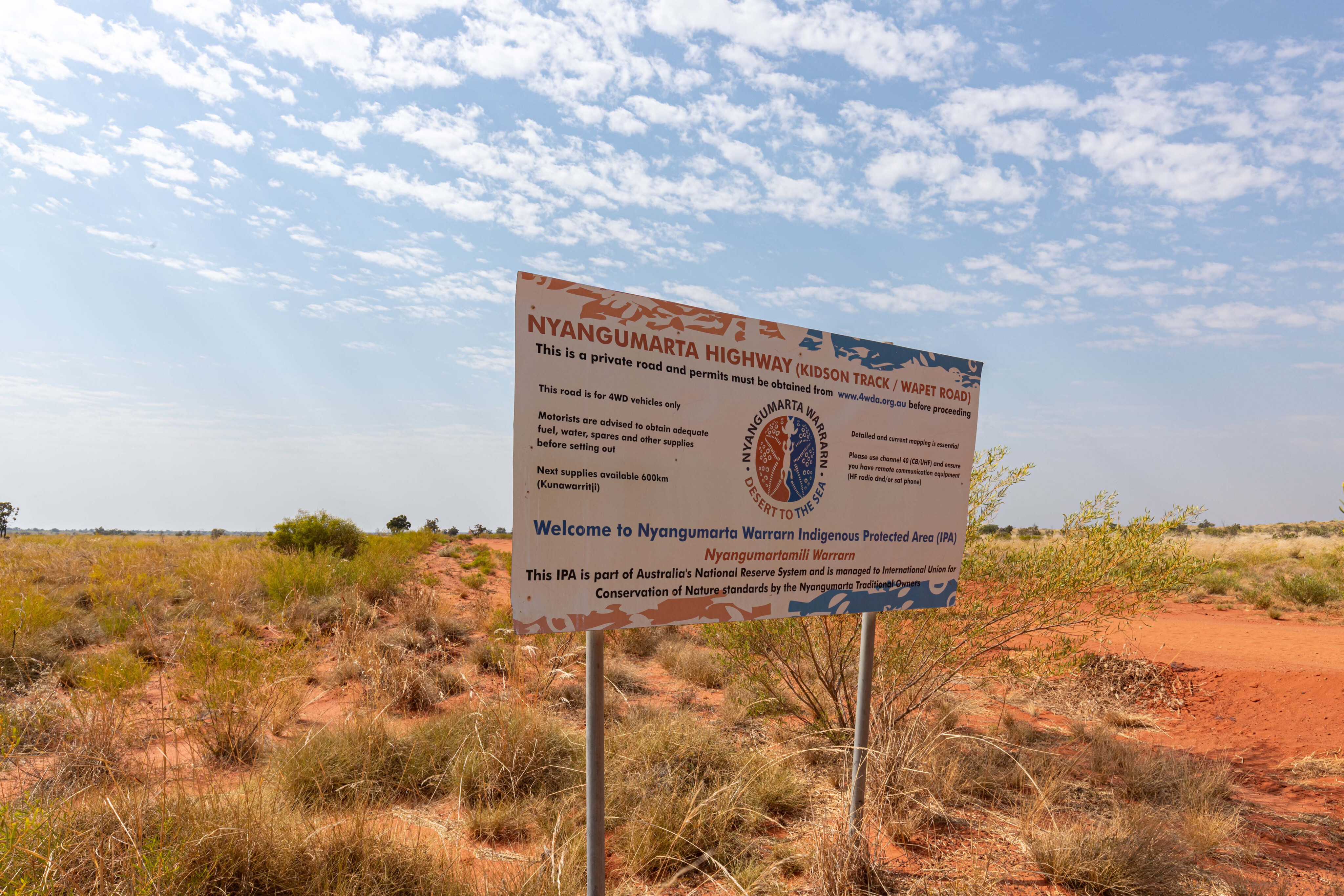
When entering dune country, take care even though the dunes are capped, as deep washouts have developed on either side that will cause damage if you hit one of them.
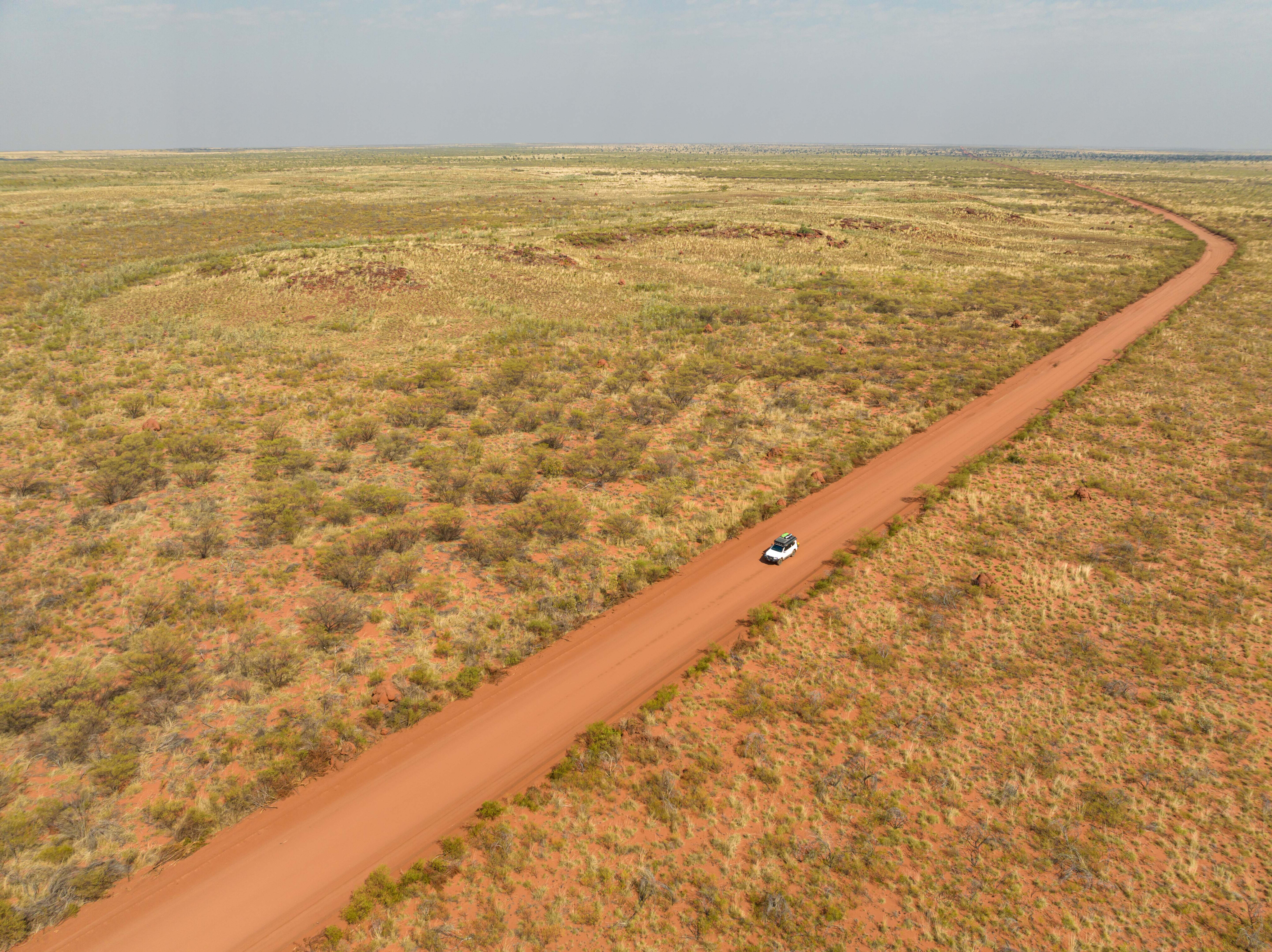
The track then eases east between the swales of the dunes before you’ll encounter more heavily overgrown sections; beware of washouts hidden by the shrubs. Just when you think it will never end, you round a corner and the track extends straight out in front of you as far as the eye can see, which gives a bit of respite from the dunes, washouts and overgrown track.
As the two designated campsites are on the western side of the permit zone, according to Hema Maps, the next bush camp is just outside the eastern edge of the Nyangumarta Warrarn Indigenous Protected Area.
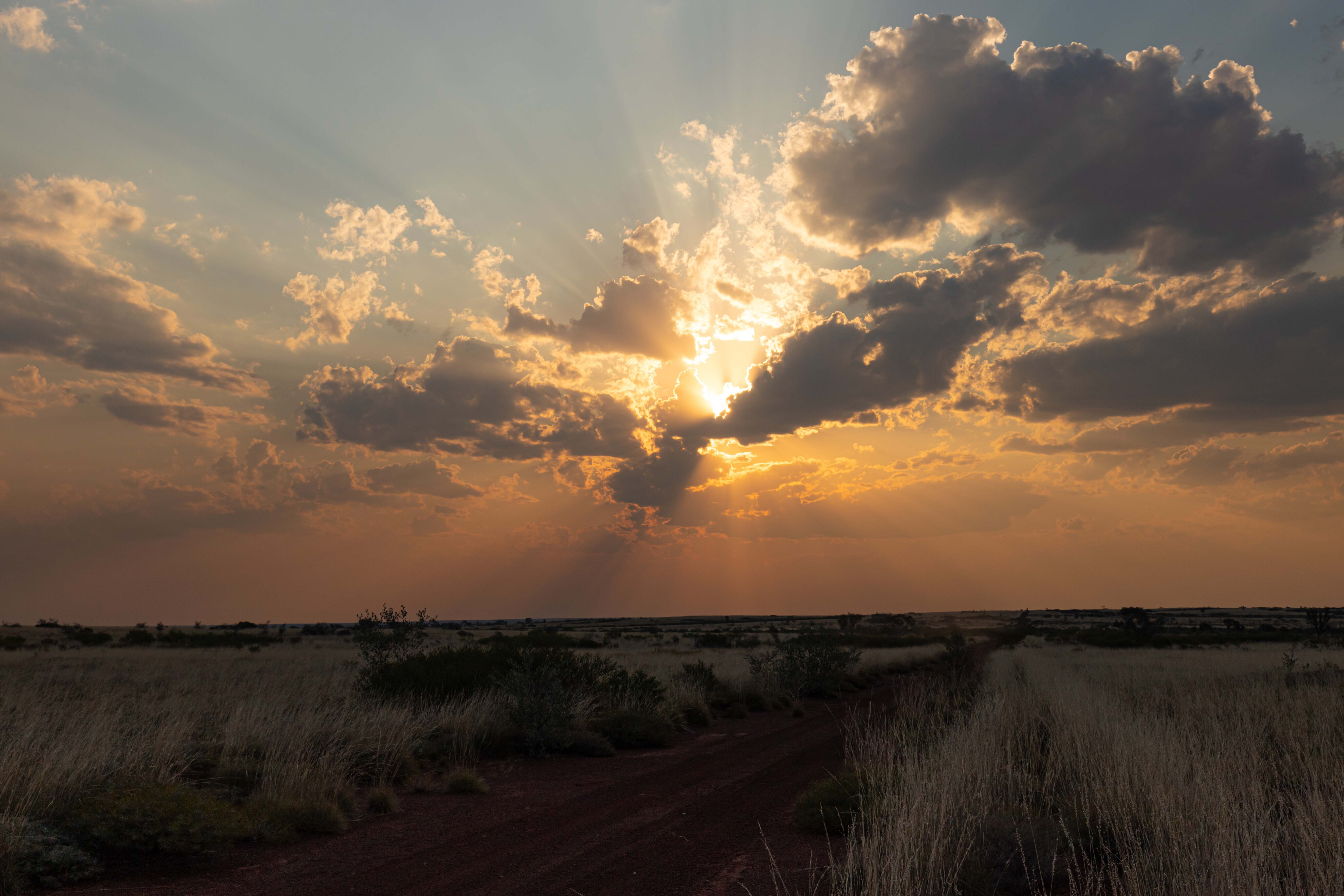
As I’d decided to push on from Djimakarra Ngurra (Camp Two), and the sun was now getting very low in the sky, it meant that it would be dark before I would reach camp.
I don’t like driving at night as my glasses offer poor depth perception, making it difficult to judge washouts, termite mounds and anything else that is on the track in the distance, so I needed to be extra careful.
The next lot of dunes were badly washed out, as were some sections of the track, and on a couple of dunes, bypasses were needed to get past the worst sections. Doing that at night made it even more challenging, although modern LED lighting certainly helped to light the way once the sun had set.
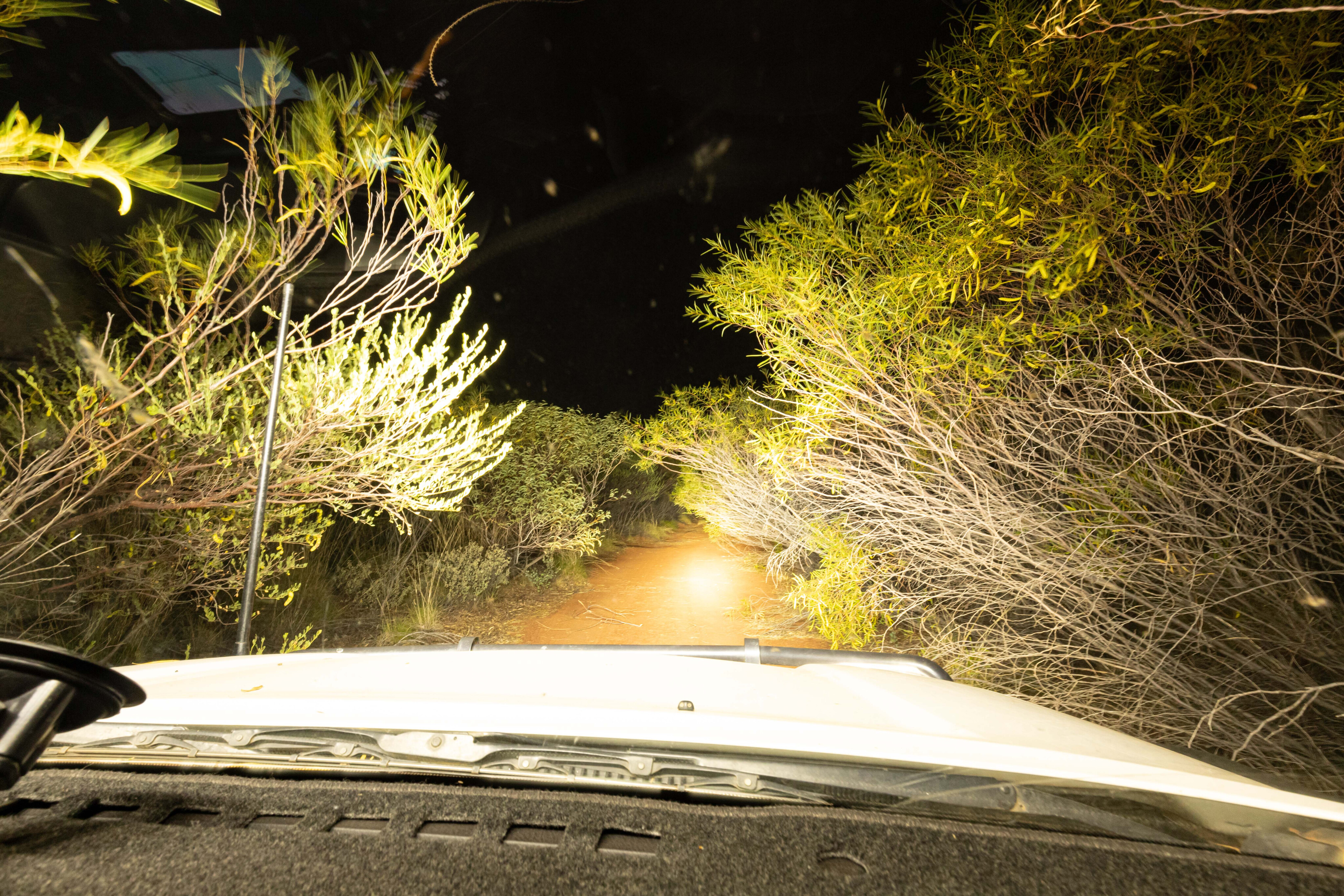
The overgrown sections on this part of the track are an absolute nightmare, especially at night, and the bush pinstriping is extreme; I was sick of hearing the scratching of tree branches along the side of my Prado.
It sounded like fingernails down a blackboard. Crawling along in first gear proved the gentlest way to navigate the overgrown tracks, and this method also allows you to more easily spot the washouts and see where the track is going.
I eventually found a small patch on the side of the road in the dark and quickly set up camp before dining on some leftover pasta and some naan bread reheated in the Travel Buddy.
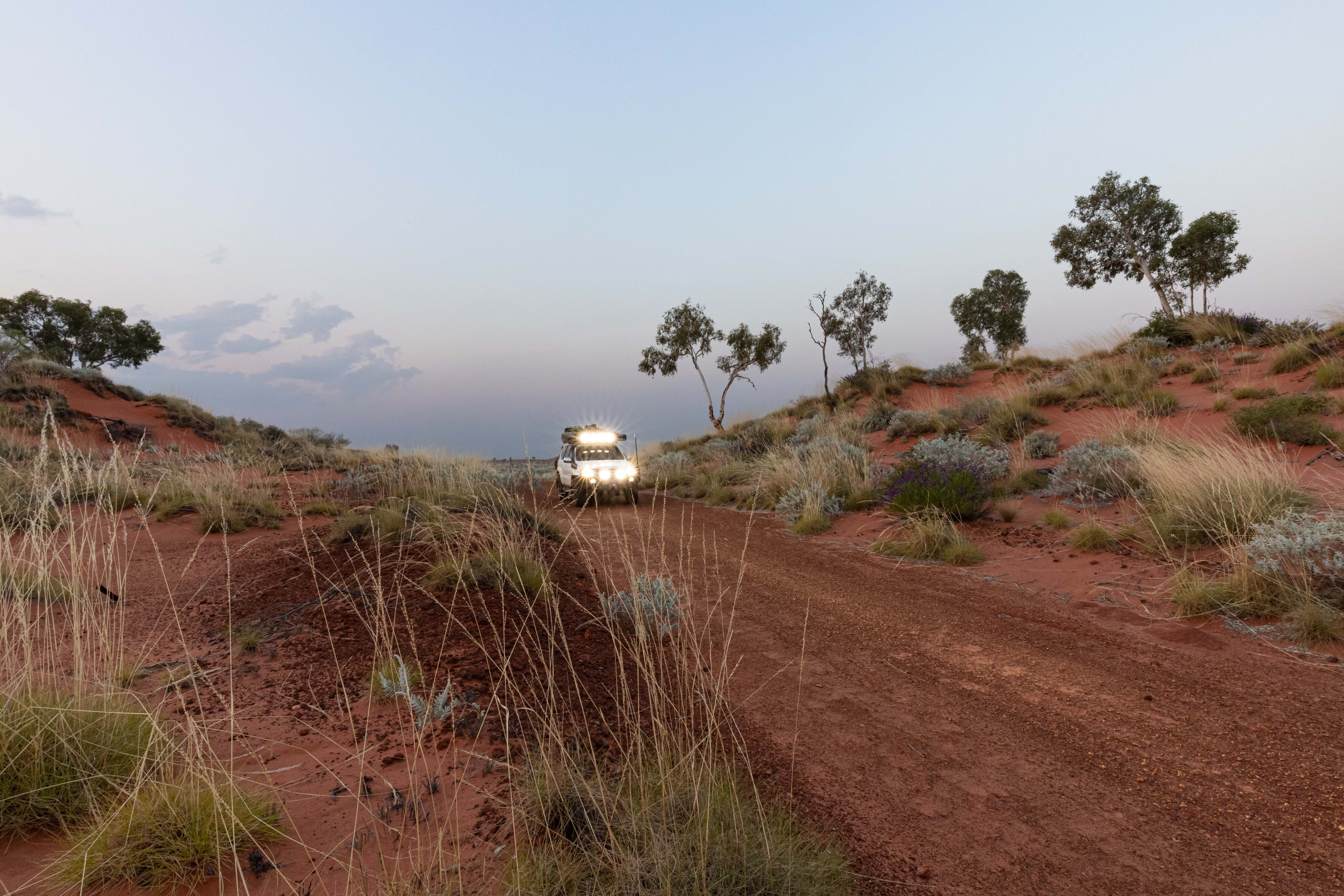
The next morning I awoke to a beautiful landscape as the sun rose above the horizon. My campsite looked nothing like I expected in the morning light; what I thought was a small open clearing turned out to be in the middle of some spinifex, but I awoke refreshed and ready for another day on the highway.
I was disappointed to have missed the old Paru site near Mellinjerie Well in the dark the previous night.
While access is not permitted by the Marlu people, whose native title it’s upon, it would have presented an opportunity to see the old tractor and outbuildings.
Paru was established as an outcamp when Pilbara Aboriginal pastoral workers went on strike from 1946 to 1949. It was later used up until the late 20th century as a ‘punishment camp’ for Aboriginal people who had issues with alcohol or caused trouble. They were taken out there on the back of the tractor, dropped off and left for weeks on end to fend for themselves, while living a semi-subsistence lifestyle.
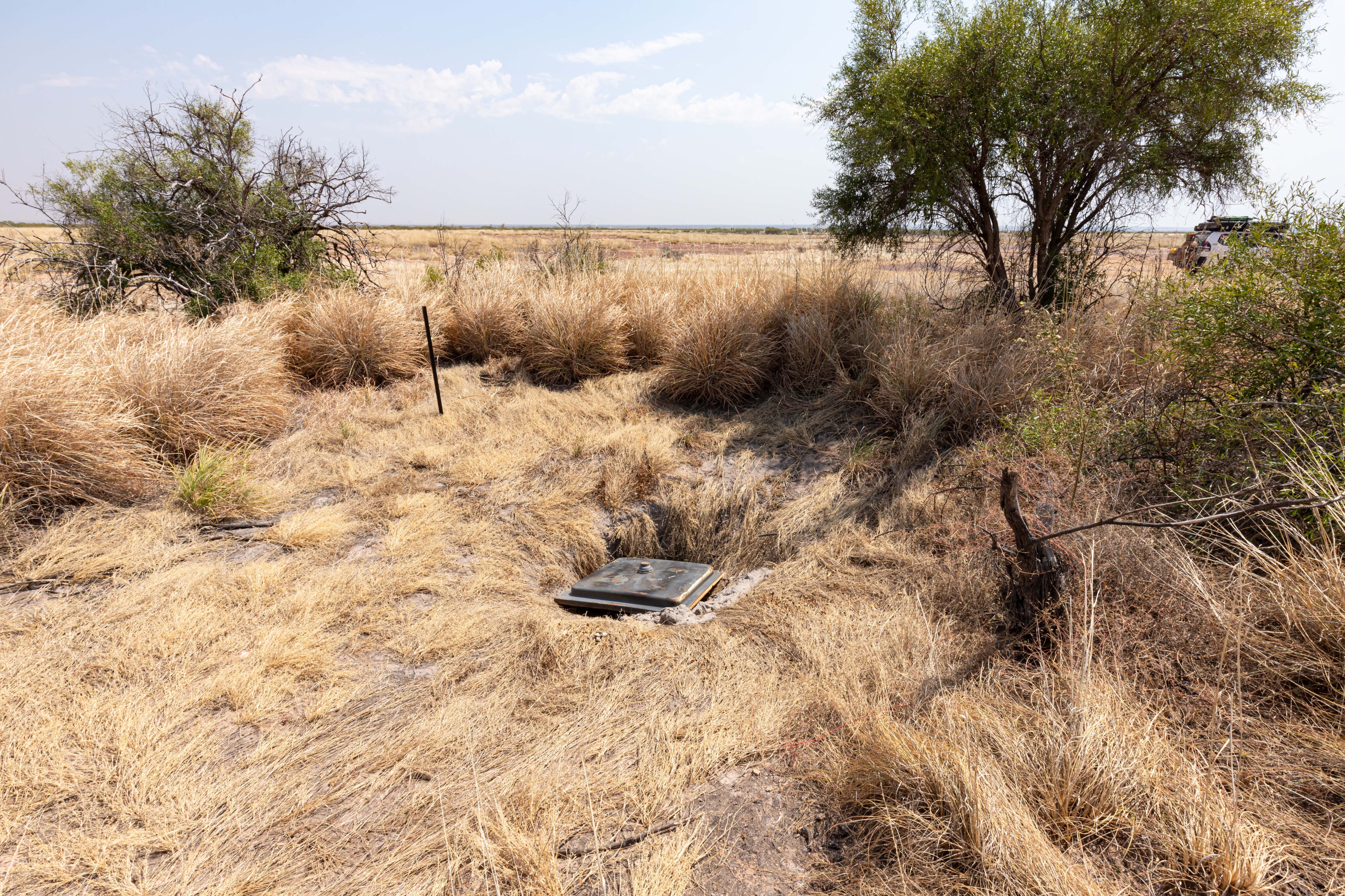
About a kilometre from my camp I spotted an old bore that was flatter and had plenty of space, and would have been a better campsite. There was even some wood left from previous travellers. The benefit of hindsight…
The Nyangumarta Highway is one of those tracks that has a little bit of everything from deep soft sand to washouts, corrugations to rocky tracks, and overgrown sections to sand dunes and salt lakes. I reckon the landscape is similar to that along the Gary Highway or Talawana Track, but it is easier going on your vehicle compared to either of those.
While there’s a cost involved to drive this track, at $55 per vehicle it is a bargain, and I don’t mind paying a permit fee to get out and see a part of the country that very few others get to see.
You’ll find a replica Len Beadell plaque at Twin Gum Hill, at the junction of the old Callawa Track that ran from Well 35 on the Canning Stock Route across to the Old Telegraph Track east of Eighty Mile Beach.
The plaque was placed there by Connie Sue Beadell in 2004. Nearby is a memorial to Sergeant Tony Moriarty, who tragically died in a traffic accident near here on 15 April 1994. There is a visitor’s book here and when I looked the last person to sign it was the Nyangumarta Ranger one a month prior.
I spotted an abandoned windmill, which was certainly unexpected, sitting just off the track, and this proved a good place for a bush camp with a sheltered, flat and open area nearby. As you head further south, you’ll encounter some shocking sections of corrugations as you enter termite country, with big red termite nests scattered as far as the eye can see across the plain.
From here the track turns to limestone from an ancient seabed; this part of Australia was once underwater.
It then winds its way around some salt lakes where you need to be careful as there were several large holes on the track dug by camels. While I didn’t spot any of the feral animals, they definitely inhabit the area. This would be a treacherous section in the wet with black soil that would be difficult to traverse.
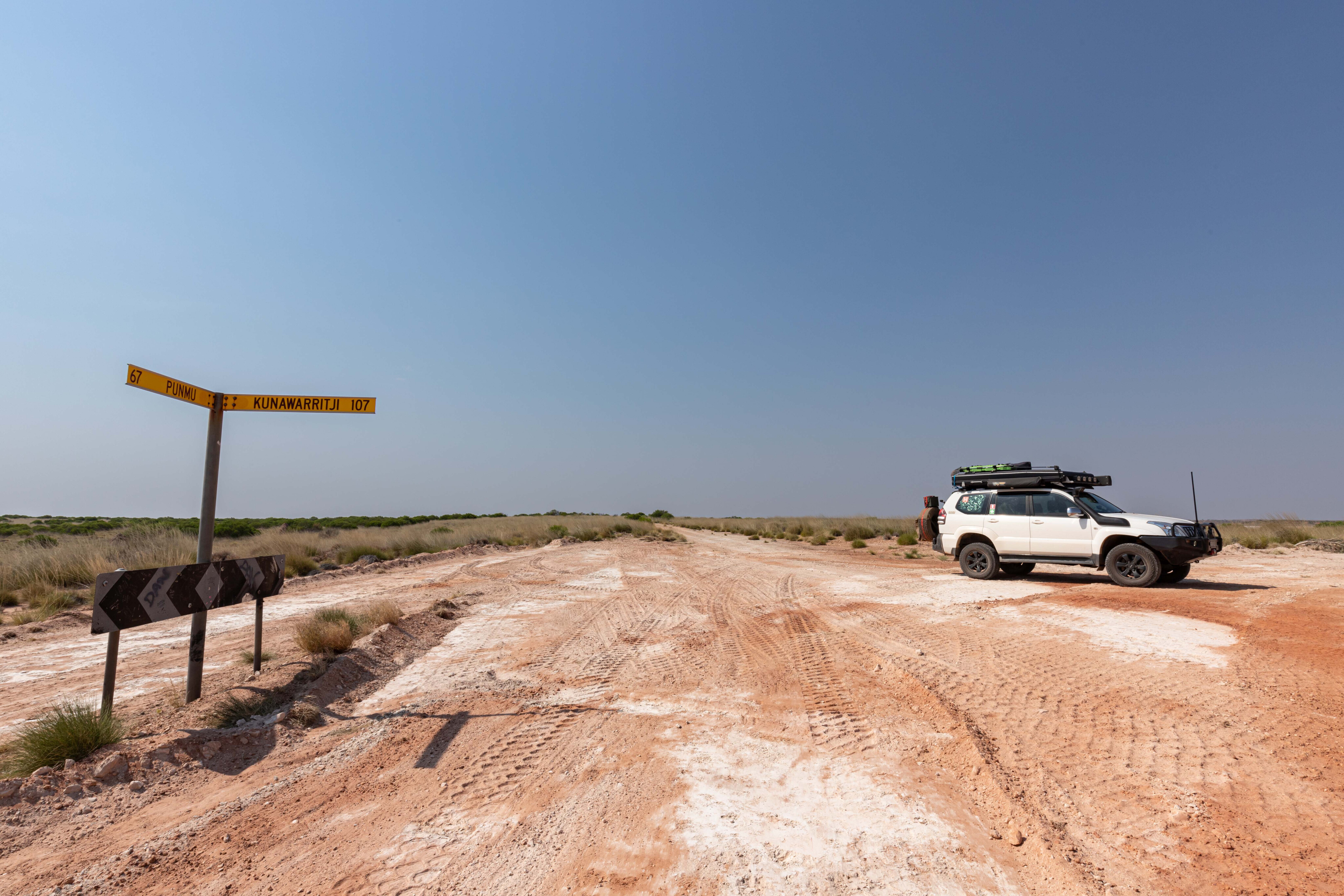
Upon reaching Kunawarritji Road, it’s 107km to the community and fuel stop, and then another 7km to Well 33 on the Canning Stock Route. A permit is required to access the CSR. Fuel at Kunawarritji is now available 24/7 and prices at the time were $3.10 for diesel and $2.80 for Opal. There is also a community store, flushing toilets and hot showers here (for a fee).
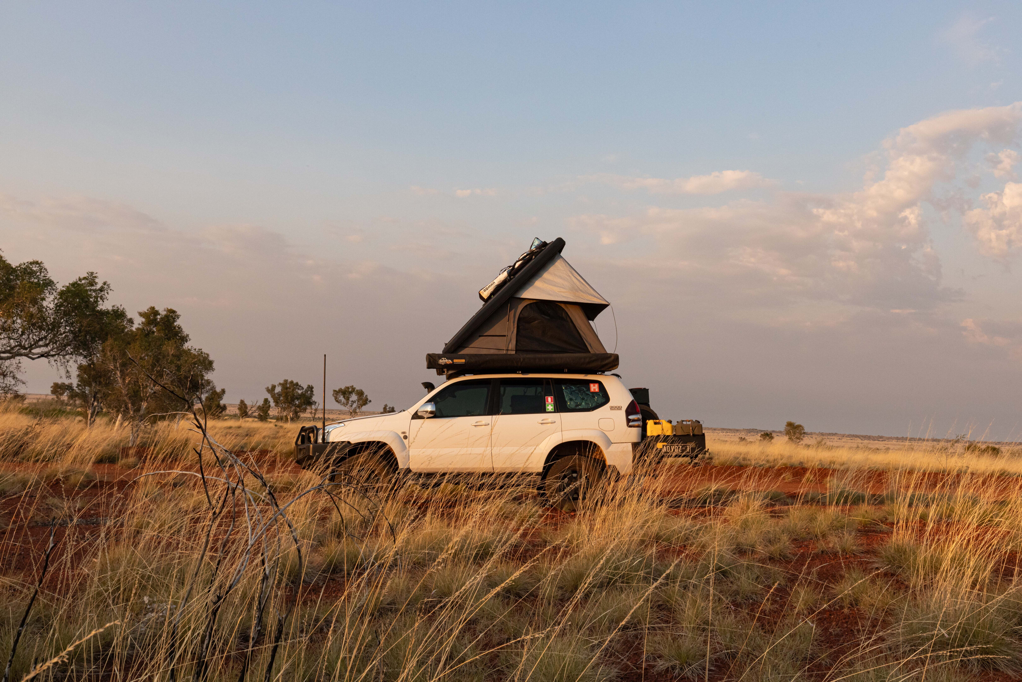
Well 33 is a great campsite with a working windmill and an overflow from the tank that provides water for the birds and the dingos, who may visit the camp for a drink at twilight.
A couple were howling close by during the night so make sure you put your rubbish away and don’t leave any food scraps out. Hide your thongs and shoes too, as dingoes are renowned for stealing them.
From here you can head north or south along the Canning Stock Route, west to Marble Bar or Karlamilyi National Park, and east to Alice Springs via Jenkins Road and Gary Junction Road.
Considering the Nyangumarta Highway was built in the 1960s, this would have to be one of the best desert tracks, conditions-wise, that I’ve driven.
Having encountered a few overgrown sections it’s obvious that this track doesn’t get a lot of traffic. The more people that drive the track, the more the overgrown sections will be cut back.
There are corrugations but they aren’t too bad, and the washouts are easy to detour around, or just take them slow. While a drive along this track isn’t fast going, that allows you to enjoy the journey, so give yourself at least three days to take it all in.
Travel planner
Where:
Nargumarta Highway stretches more than 600km from Eighty Mile Beach in northwest Pilbara to Kunawarritji on the Canning Stock Route, cutting through the Great Sandy Desert.
Best time of year:
Cooler months from May to September.
Permits:
A travel permit must be purchased online from the Four-Wheel Drive Australia website for $55 per vehicle, which is valid for 30 days. It also provides access to Nabaru Rose’s Track.
While a permit is not required to access Kunawarritji, you will need a permit if you travel the Canning Stock Route and camp at Well 33.
What to see and do:
The changing landscapes and remote desert driving make this a must-do adventure. Djimakarra Soak is a typical soak that has long been used as a water source by the Nyangumarta people.
What to take:
You must be self-sufficient and carry all the necessary water, food and fuel, a first aid kit, a tool kit, a spare tyre, vehicle parts, a shade awning, a camera, sunscreen, insect repellent, suitable clothing and footwear. A satellite phone or Starlink is recommended as there is no mobile coverage.
Other info:
Eighty Mile Beach and the Nyangumarta lands are in a region prone to cyclones. If travelling in cyclone season from 1 November to 30 April check for warnings via the Bureau of Meteorology at www.bom.gov.au
Fast facts
- The longest distance without fuel is 651km from Sandfire Roadhouse to Kunawarritji
- Formerly known as the Kidson Track this stretch of track was constructed in the late 1960s by West Australian Petroleum Pty Ltd (WAPET)
- The Nyangumarta Highway is 504km long
- Djimakarra Soak is located at 20° 20’ 41.16” S, 121° 54’ 4.48” E

COMMENTS