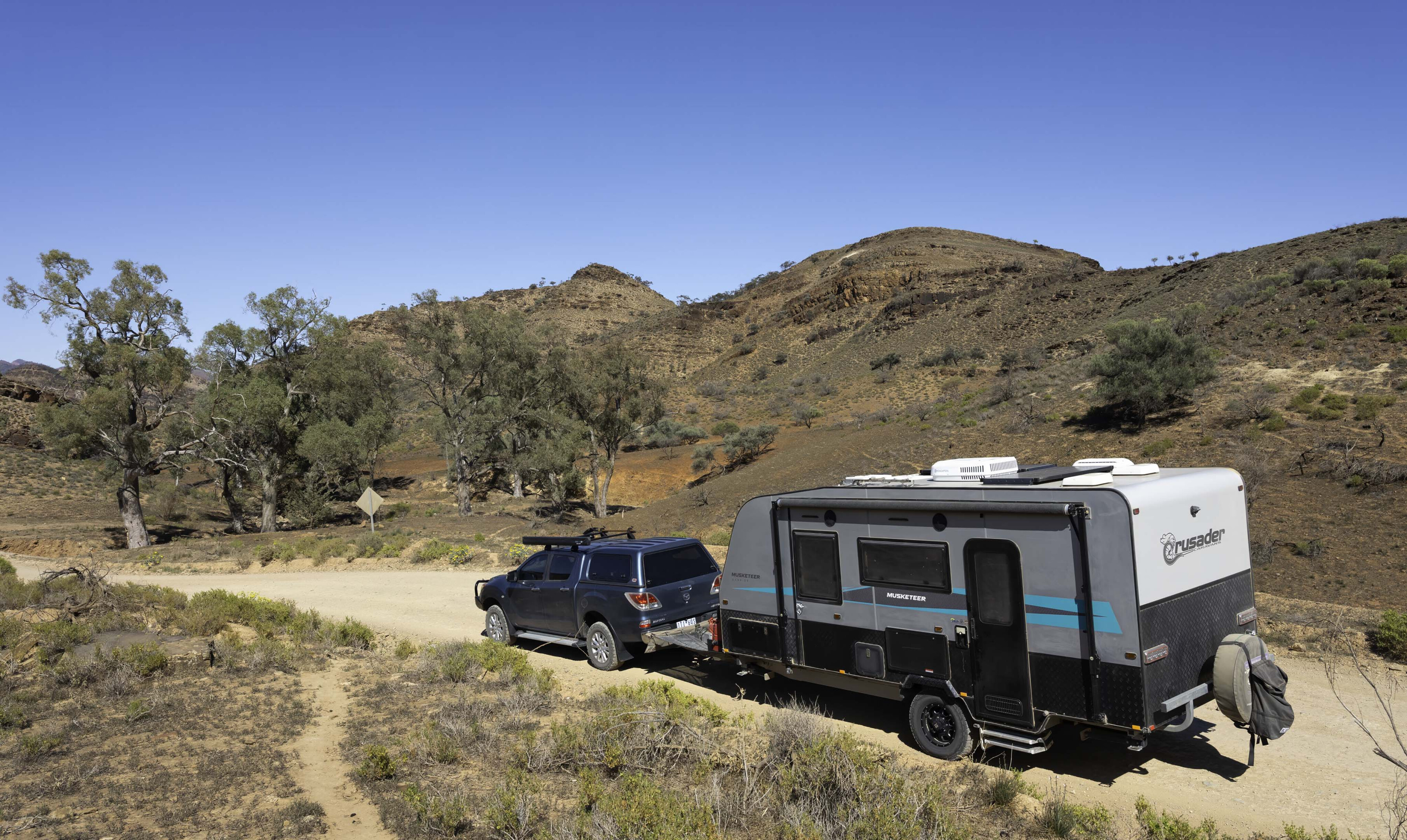
Construction of The Ghan rail line commenced in 1878 at Port Augusta in South Australia, reaching Oodnadatta in 1891 and eventually Alice Springs in 1929.
While the rail line was sited so as to best guarantee a supply of water needed by the steam locomotives of the day, it was water that ultimately led to the line’s demise.
The service was notoriously unreliable with the track regularly closed by washouts. So much so that a flatcar immediately behind the locomotive carried spare sleepers and tools that enabled crew and passengers to make repairs on the run.

The introduction of diesel locomotives that were not dependent on a water source saw the rail service moved into drier country further to the west in the 1970s, resulting in the closure of the Oodnadatta line.
The road north to Oodnadatta shadows the Old Ghan railway line and many places you pass have a connection (perhaps even owing their existence) to the original Ghan. Our first stop, Holowiliena Station, 40km east of Hawker, was no exception, having relied on the railway to cart their wool clip south.

Station life
Holowiliena is notable for being the only Australian pastoral lease still in the hands of the original settler’s family. It is also notable for having been featured on the ABC’s Restoration Australia series several years ago when the station owners restored an 1850s cellar and bunkhouse.
The latter could sleep up to 14 workers, despite it only measuring about 5m x 2.5m. The restored cellar was built into a river bank near the homestead to keep meat, vegetables and preserved fruit cool, and to store explosives. Why explosives? Before modern chainsaws, the easiest (but perhaps not the safest) way to gather firewood was to stuff an old fallen red gum with explosives – instant firewood!
The station offers secluded bush camping and shearers quarters accommodation, along with an occasional history tour of the homestead buildings. The six generations of owners kept daily diaries since the 1860s, providing a detailed insight into station life.
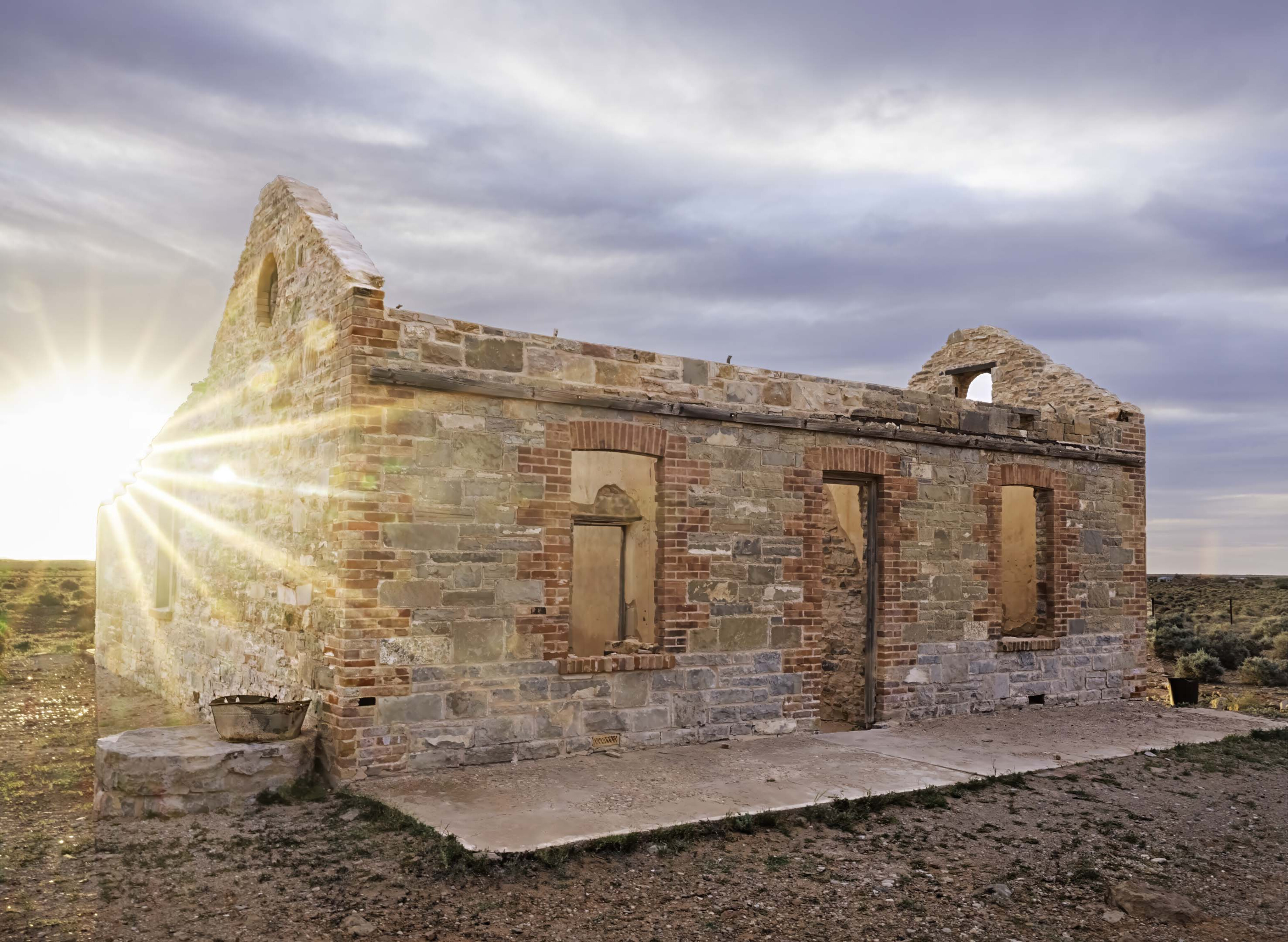
And with the property having been handed down through the generations much of the original equipment and artefacts have been retained.
The 1850s station store is a treasure trove of history – including a 1930s electric fly zapper. This homebuilt contraption consisted of a wooden cage of metal bars with a large hole in the base. The idea was to put it over an old chop bone, connect it to a car battery and magneto, and hey presto – no more flies.
When the present owners, Frances and Luke Frahn, took over the property from their parents there was a blacksmith’s forge which hadn’t been used in many years but had been left just as it was when the last blacksmith walked out the door. While Luke didn’t have any smithing experience, he’s since mastered the trade and now provides a demonstration of blacksmithing as part of the station’s history tours.
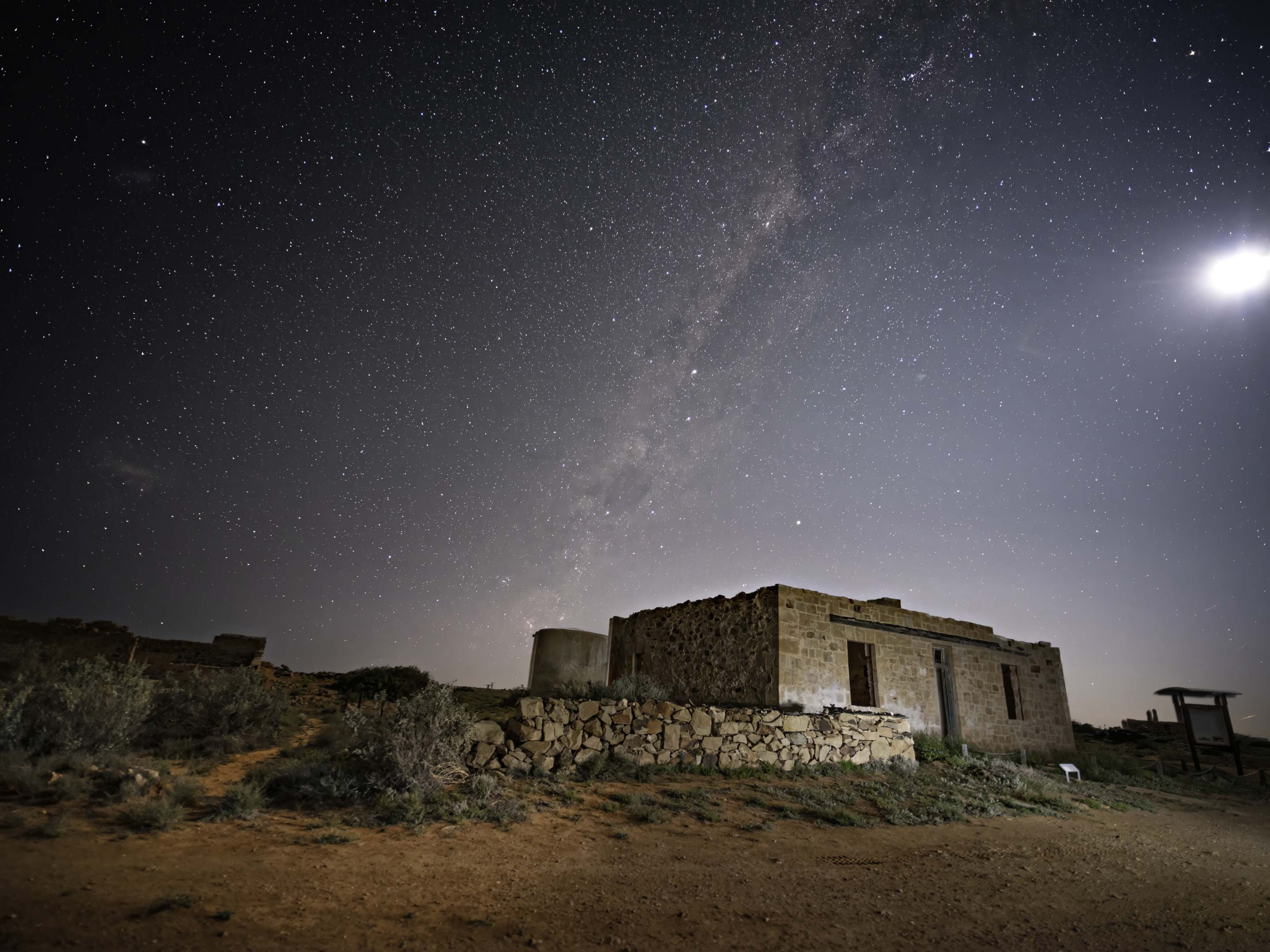
Our allocated campsite was several kilometres from the homestead on the banks of a dry creek bed lined by ancient red gums.
With a fireplace and wood provided you only have to set up your camp, sit back and, with not another soul to be seen or heard, enjoy the solitude.
The 35,000ha property has a number of 4x4 tracks that visitors can drive for a small fee, and while these tracks are not particularly challenging, the two to three hours they each take to cover provides some great views of the property.
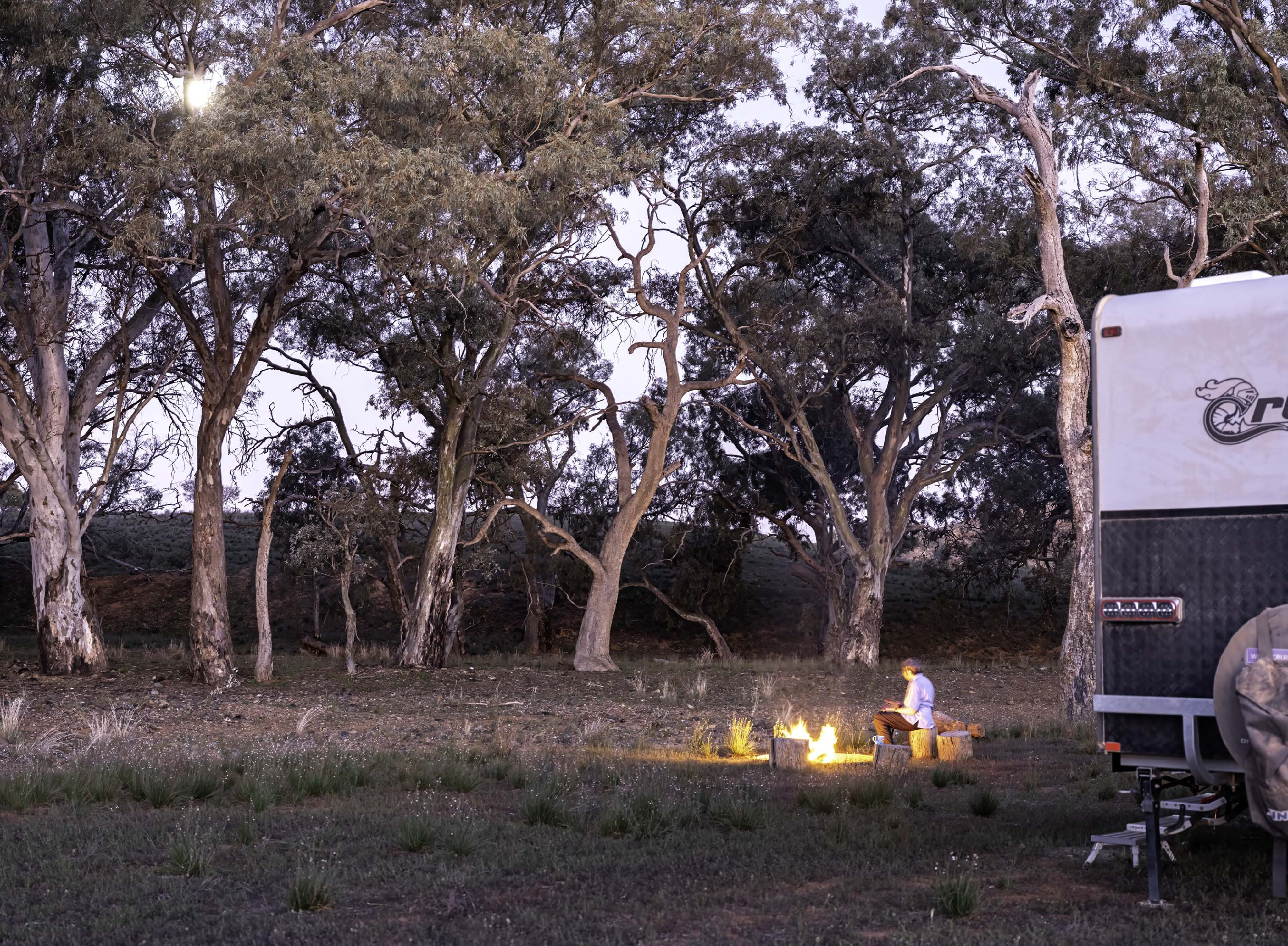
With plenty of space to camp, Holowiliena is an ideal spot for a group to spend a few days. And, if the group is large enough, I’m sure Frances would run a one-off station history tour for visitors.
Journeying north, near Hawker, the extensive ruins of Kanyaka Station mark the site of what was one of the largest sheep stations in the district before it was abandoned following massive stock losses from drought. Set back off the main road it’s a pleasant place to take a break under the large gums along a dry creek bed and explore the ruins.
While the Ghan didn’t stop at Kanyaka, it passed nearby and would have been a valuable lifeline, transporting wool and supplies from the Wilson siding (marked by more stone ruins) a handful of kilometres north.
North to Parachilna
Past Hawker the road to Oodnadatta is sealed as far as Marree and is flanked in the east by the impressive Flinders Ranges whose jagged profile first appears in the distance as a featureless steel blue silhouette.
The road makes its closest approach to this seemingly unbroken range rising vertically from the flat plain at a point near where it forms the rugged western wall of Wilpena Pound. It’s also here that you will find Edeowie Station.
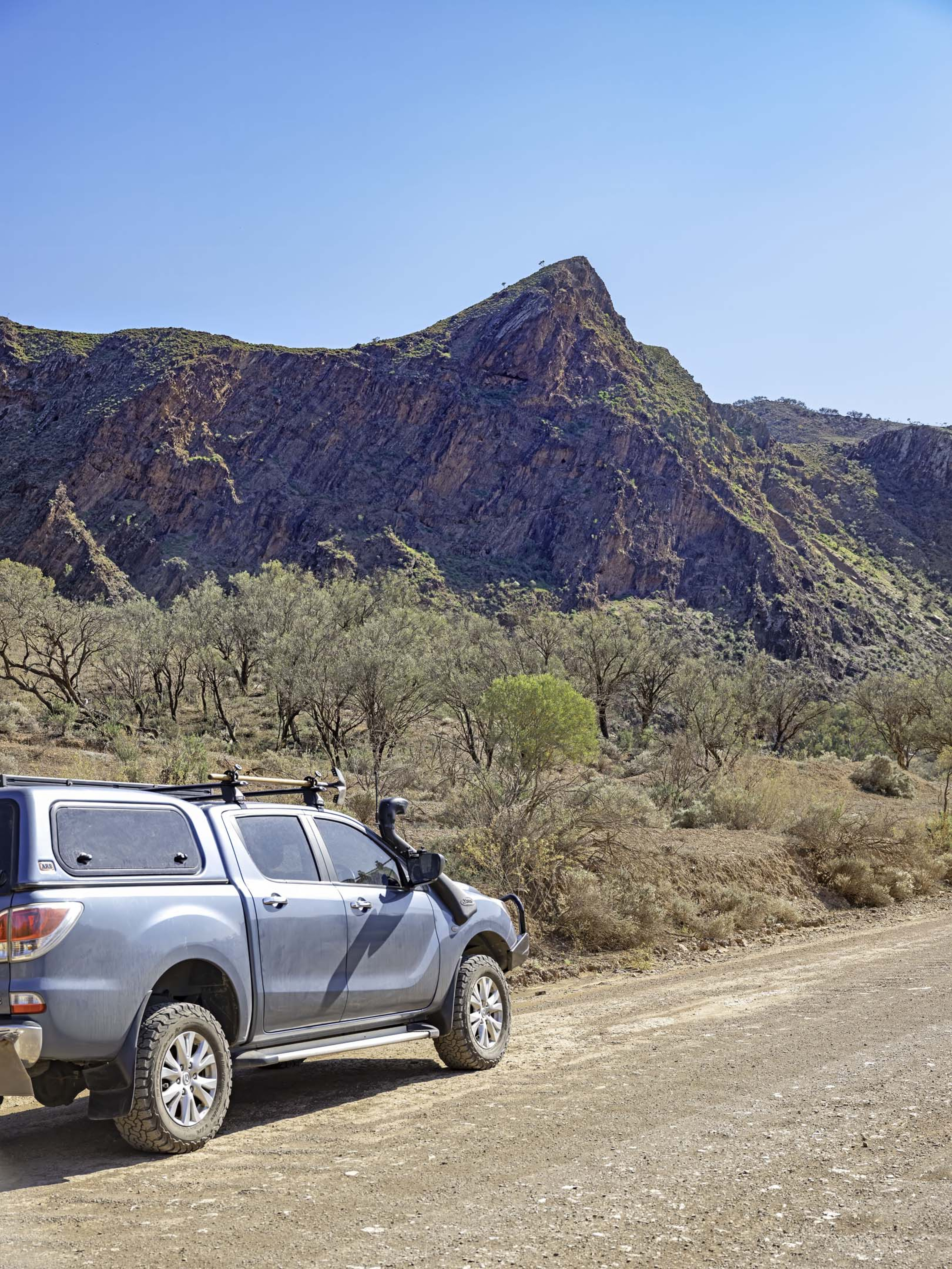
Edeowie offers secluded campsites and some serviced accommodation. The campsites, which are easily accessed by vans and campers, look out onto the Heysen Range a few kilometres to the east and which glow in the warm first and last light of day. There are some basic 4x4 drives on station tracks and self-guided walks around the ruins of the old Edeowie township and nearby Bunyeroo Gorge.

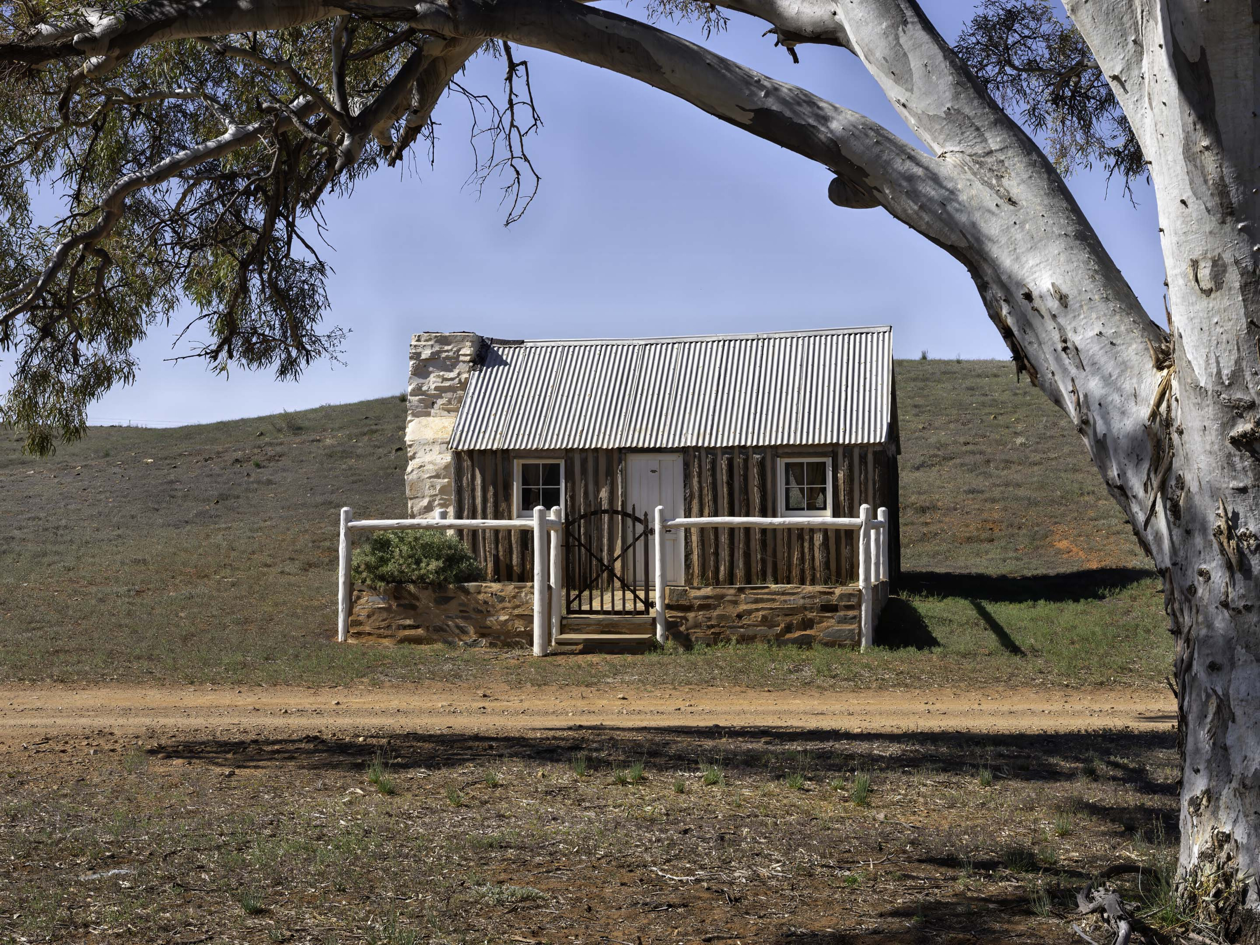
The property also has a restored shepherd’s hut for rent. Set on the banks of Brachina Creek (and looking like something out of an old western) it offers basic amenities with vehicle access via nearby Brachina Gorge to the attractions of the Ikara Flinders Ranges National Park.
Parachilna, previously a railhead for the Ghan, is best known these days as a watering hole for passing tourists. At the Prairie Hotel you can pick up a meal and a beer while widening your culinary tastes with an emu rissole, a kangaroo schnitzel, or perhaps go the whole hog and have the feral feast!
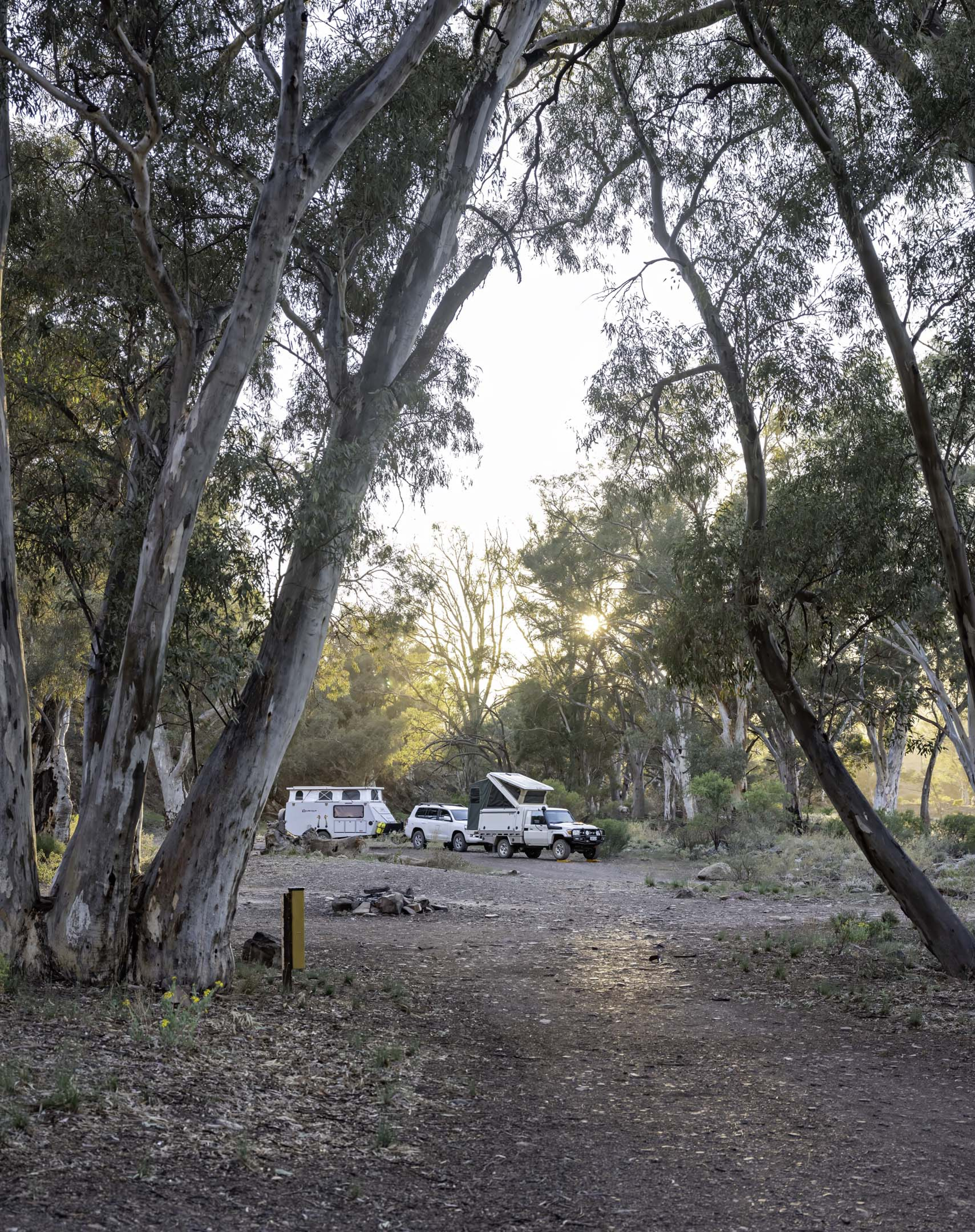
There are some great campsites to be found in nearby Parachilna Gorge. Some are set well back off the road and most are camper and caravan friendly. Holiday times see dozens of vans, campers and tents set up along the gorge, so while there is no shortage of sites, in busy times (to ensure you don’t get the spot nobody else wanted) it’s a good idea to arrive early.
If you can’t survive without 240V and phone service, Angorichina Village at the eastern end of the gorge has a caravan park with full facilities and a store selling fuel and supplies (including beer, wine and spirits).
Moolooloo Station, a few kilometres north of the gorge, is yet another station stay offering secluded campsites in country much like Wilpena (but, importantly, without the tourists). There is also an interesting 4x4 PAR (public access road) that runs in part through Moolooloo and the impressive Nuccaleena copper mine ruins.
The Mt Samuel drive near Angorichina is one not to be missed by any diehard 4x4 enthusiasts. Access can be obtained from Alpana Station just south of Blinman for a modest fee. With steep climbs and views from the top of the range that seemingly go on forever it is a top drive. Apart from the aptly named Mt Buggery Gorge it’s not overly challenging, but 4x4 experience is a must.
Saving history
North of Parachilna and a 9km detour to the east is Beltana, previously a Ghan siding. In its heyday around the turn of the last century, when copper mining was booming, the town had a population of 500.
With the demise of mining, closure of the rail line and the main road being rerouted, the population has fallen to about 30 but it is worth a visit to see the historic buildings of yesteryear.
Nearby Leigh Creek seems to be following in Beltana’s footsteps since the 2015 closure of the town’s coal mine. With a population of 2500 in the 1980s it has all the facilities you would expect to find in any large modern town – wide tree-lined streets, a supermarket, school, caravan park, airport etc. However, the population has dwindled to less than 100 and the town is reliant on the passing tourist trade for its continued existence.
For now, it remains a place where you can stock up on fuel and supplies (water can be purchased from the local caravan park).
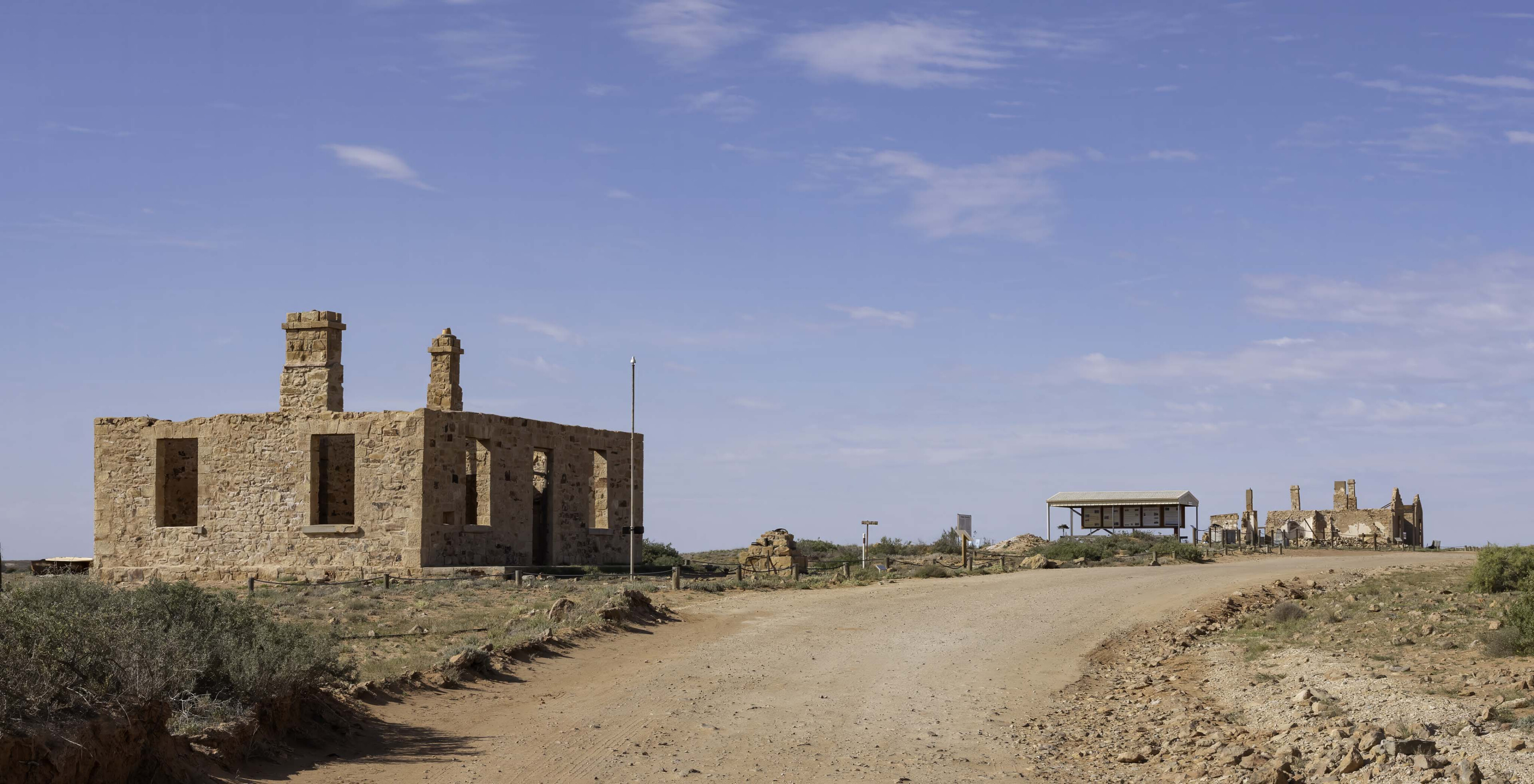
Further north, the abandoned township of Farina was founded in the 1870s after several unseasonal years of good rainfall led to the belief the area would support cereal growing (the name Farina means flour). The town rapidly grew to have a population of 600, but the good years soon reverted to their more arid norm.
Combined with the closure of nearby mines and the rail line, the town was slowly abandoned and by 1967 it was deserted. In 2008 a group was formed to restore and preserve the township’s ruins.
That work is ongoing and were it not for their dedicated efforts more of the town’s old buildings would have been lost to the ravages of time and tourists.
Farina’s restored 1880s underground bakery opens its doors between May and July each year, and in the process raises money to assist with the ongoing restoration works. Recent changes include one of the last diesel locomotives to run on the old Ghan line being trucked to Farina to become a static display at the site of the town’s old railway station.
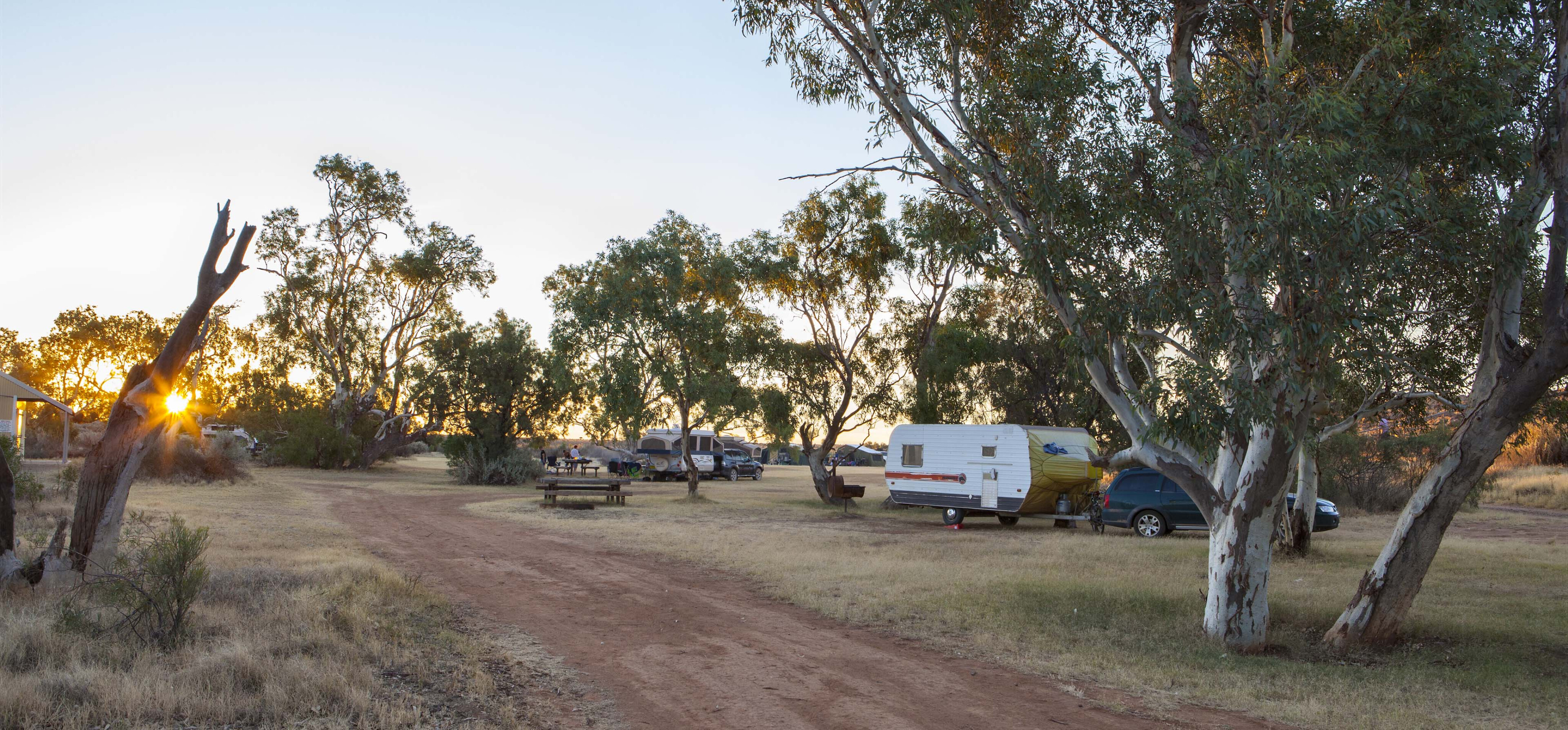
The ruins are on the property of Farina Station which maintains a campsite along a creek adjoining the old township. With showers, toilets, shaded campsites and firewood available from the station homestead it’s a favourite place to stay.
In contrast to the largely treeless plains surrounding Farina, the creek’s course is heavily vegetated.
In the morning and evening, the trees come alive with flashes of green and gold from budgerigars performing high-speed aerial manoeuvres while noisily calling to each other. A pair of nankeen kestrels had taken up residence in a dead tree near our camp and when these small raptors were around the budgerigars would understandably make themselves scarce.
Given the prevalence of birdlife, a short loop walking track has been established by the station to enable visitors to spot birdlife while enjoying a peaceful stroll.
The Oodnadatta Track
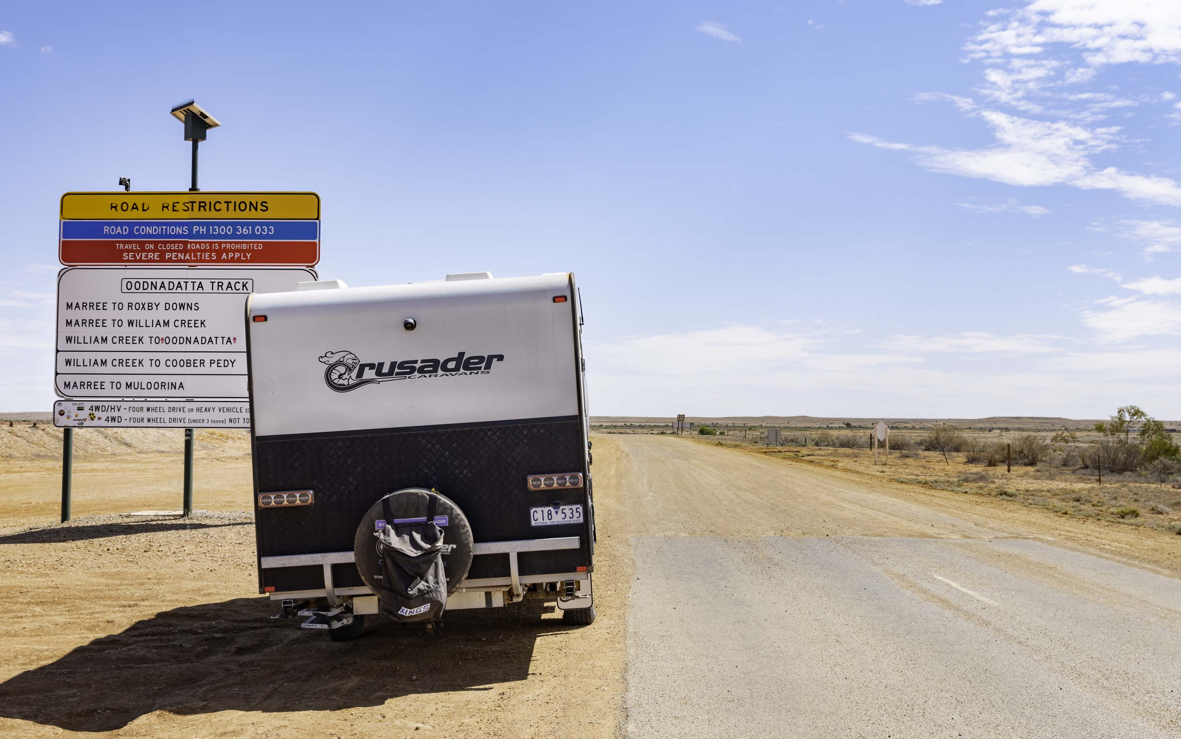
Marree is the start of the Oodnadatta Track and a major stop for fuel and supplies. Those requiring water for vans and campers can purchase it for $5 from the local caravan park.
The condition of the track can vary from pretty good to bloody terrible depending on recent weather and maintenance. Our run up to Coward Springs saw sections where towing at 80km/h wasn’t a challenge, and then once lulled into a sense of false security you’d hit a patch of corrugations where there wasn’t any speed that didn’t threaten to loosen your fillings. In places the corrugations were like driving over railway sleepers.
There’s not much scenery on this part of the drive but 50km after Marree the quirky Mutonia Sculpture Park is worth a stop, as is the Lake Eyre South lookout where the white salt surface stretches to the horizon. While the view is impressive, what you can see is only a fraction of Lake Eyre which extends further north for 180km.
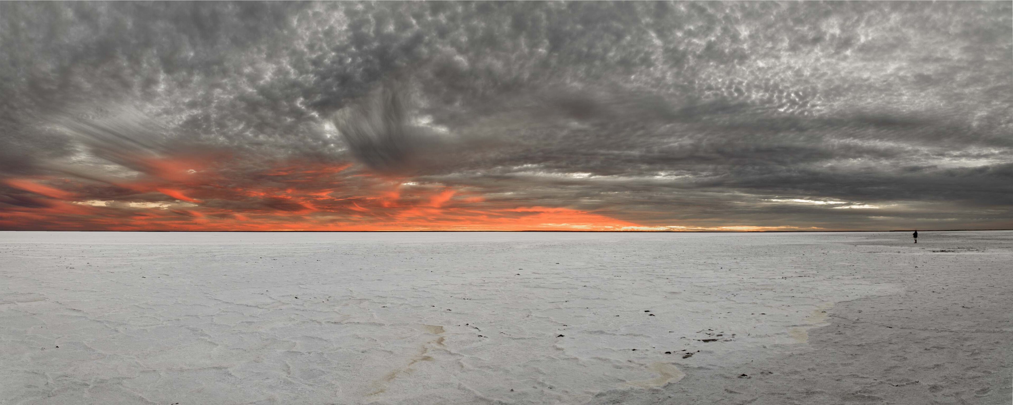
It is worth driving out to Halligan Point from William Creek and perhaps stay overnight to capture an unforgettable sunrise or sunset over the dry salt surface of the lake.
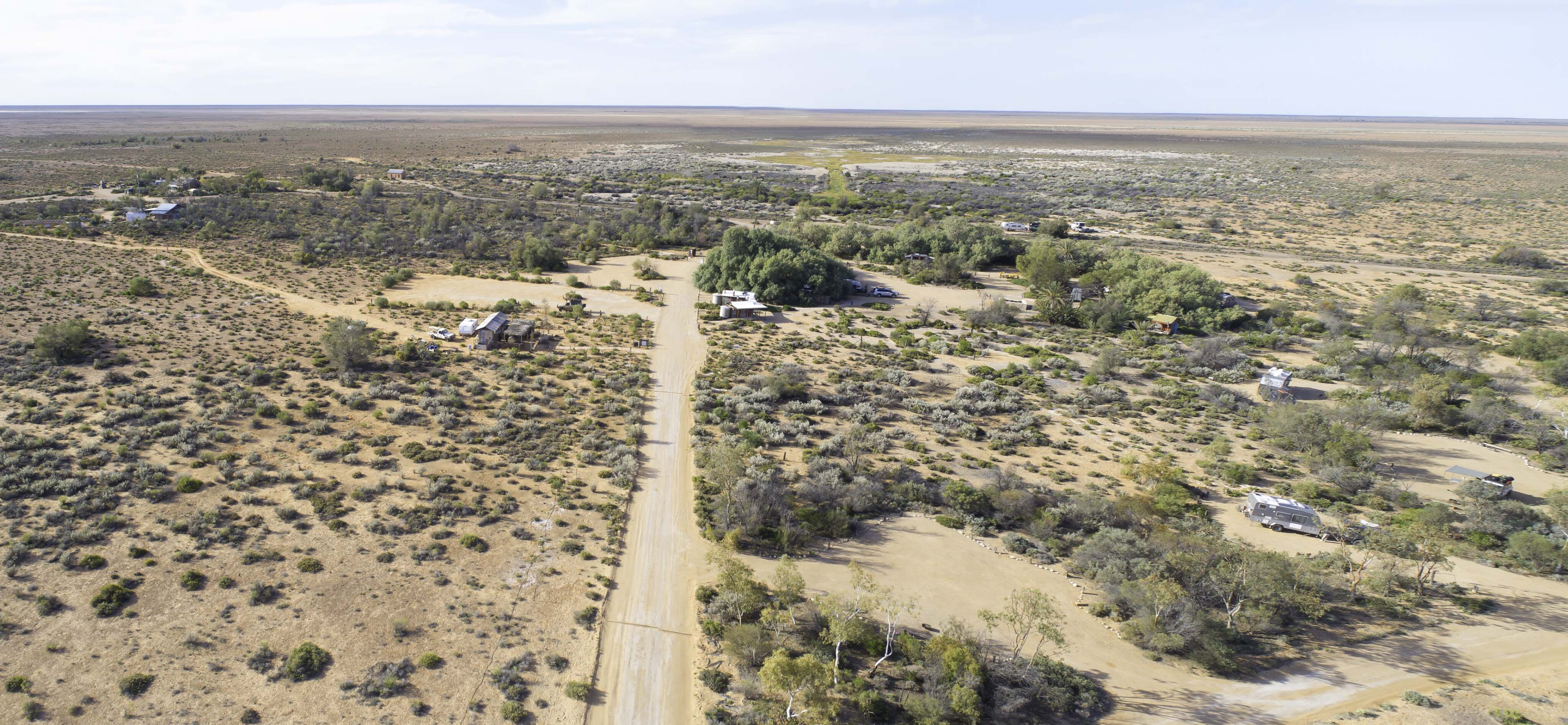
Coward Springs (another siding on the old Ghan railway) has a large campground with Tamarisk shaded campsites, showers and toilets (but no power or water). It’s a popular overnight stop with one of the major attractions being a spa fed by an artesian bore where guests can relax in the warm water and wash off the dust from their travels.
The old stationmaster’s house is now used as a residence and opposite it is another small, restored building which serves as a museum, housing a range of historical photos and other information.
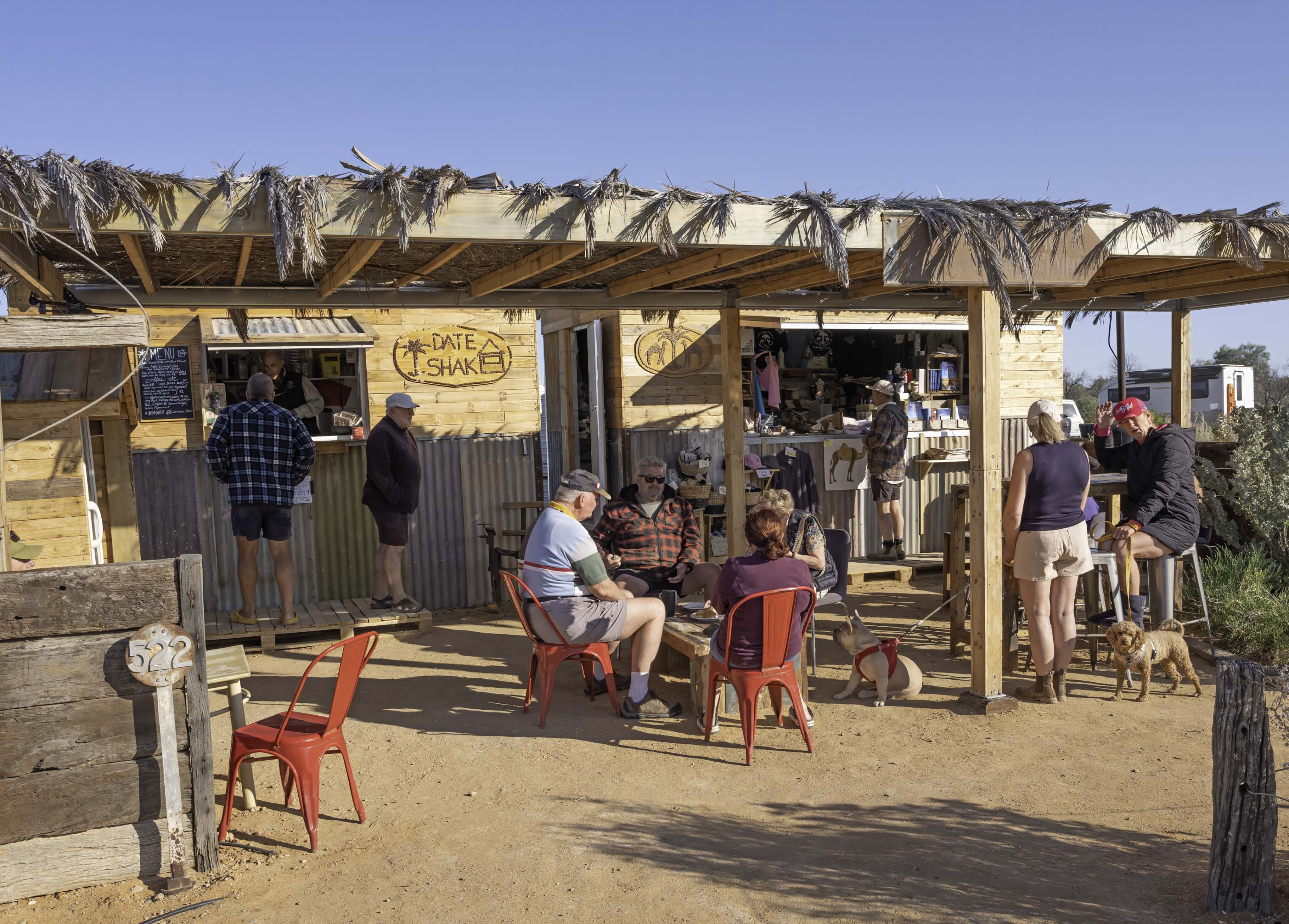
The owners of Coward Springs are establishing the property as a working date farm with various date products being sold through their coffee shop – the Date Shak (sic). Given the queues of caffeine deprived campers in the morning, I suspect coffee sales are a large part of the camp’s income.
Before leaving Coward Springs visitors should definitely visit Mound Springs – although if the badly corrugated track in from the main road hasn’t been graded since our visit, some may wonder why. Blanche Cup and the Bubbler are the two main natural artesian springs here where water bubbles to the surface.
Over time minerals precipitated out of the water have created the large mounds around the springs. Overlooking the springs is Hamilton Hill, an extinct spring which must have taken eons to be slowly built to such height.
William Creek, 72km further along the track is an alternative overnight stop for many, however, for my money, Coward Springs has better ambience. Of course, if you want a pub meal or are planning a flight over Lake Eyre, then William Creek might be for you.
The ruins of the old Peake Telegraph Station, a few kilometres off the track and about 90km north of William Creek, is an interesting piece of history worth visiting. The 4x4 track in is rough and slow, and not somewhere to tow a van (although I easily towed a camper in there a few years ago). Established in 1870 and abandoned in 1891, Peake was one of 12 repeater stations on the Overland Telegraph Line.
The Algebuckina Bridge over the Neales River, 100km short of Oodnadatta, is perhaps the most photographed railway bridge in Australia. Looking up from the dry riverbed, it’s hard to imagine that floodwaters have in the past been high enough to almost lap at the bridge decking. I’m not sure if it’s true or not, but near the southern end of the bridge there is a car wreck.

The story goes that it was being driven over the bridge to avoid the flooded road crossing (apparently a past practice by the locals) only to meet a train coming the other way.
Until the track was extended to Alice Springs, for many years Oodnadatta was the end of the line for the Ghan. These days it is best known for the Pink Roadhouse, the last place for fuel and supplies for those heading north to Dalhousie Springs and the Simpson Desert, or west to the Stuart Highway and Alice Springs.
Whether it is to see some of yesteryear’s rail history before it finally turns to dust, or just ticking it off your bucket list, the Oodnadatta Track remains an iconic 4x4 destination.
Travel planner
Where:
From Hawker, 400km north of Adelaide, the road to Marree and the start of the Oodnadatta Track is a further 285km. Marree to Oodnadatta is another 405km.
Holowiliena Station is 46km north of Craddock (27km south of Hawker).
Best time of year:
Cooler months from May to September but be aware temperatures in the mid-30s are not uncommon in Spring and nights can be very cold due to clear skies.
What to see and do:
There are a number of station stays in the northern Flinders Ranges, many of which have interesting 4x4 tracks to explore. Ruins of early settlements and the Ghan railway are scattered along the length of the Oodnadatta Track. Farina is a must-do destination, as is Lake Eyre, the Mound Springs, the Peake Telegraph Station and the Algebuckina Bridge.
What to take:
With patchy mobile reception and usually non-existent internet, a Starlink service will turn your smartphone into a satphone, making it a valuable safety accessory in remote areas. With clear starry nights and panoramic scenery a camera is a must. Plan to be self-sufficient in respect of food and water and carry a basic tool kit. Flies will drive you mad if you don’t carry a fly veil.
The unsealed roads are unforgiving, so ensure your vehicle is mechanically A1 before setting out. If towing, a Stonestomper stone guard is a necessity to prevent the flinty rocks from the road sandblasting your van or camper. Ensure your trailer wiring connection on your vehicle is sufficiently high to be protected by the tow bar from rocks thrown up from the road – often turning the mount upside down does the trick.
Other information:
The William Creek Hotel (08 8670 7880) is worth a call to check on the condition of roads and Lake Eyre.
Holowiliena Station can be contacted through www.holowilienastation.com
Very little rain is required to close outback roads for days on end. Keep an eye on the extended forecast, and the website ‘Outback Road Warnings - Department for Infrastructure and Transport - South Australia’ will tell you current road closures. Driving on a closed road is an extremely expensive pastime. Do not travel if rain is a possibility.

COMMENTS