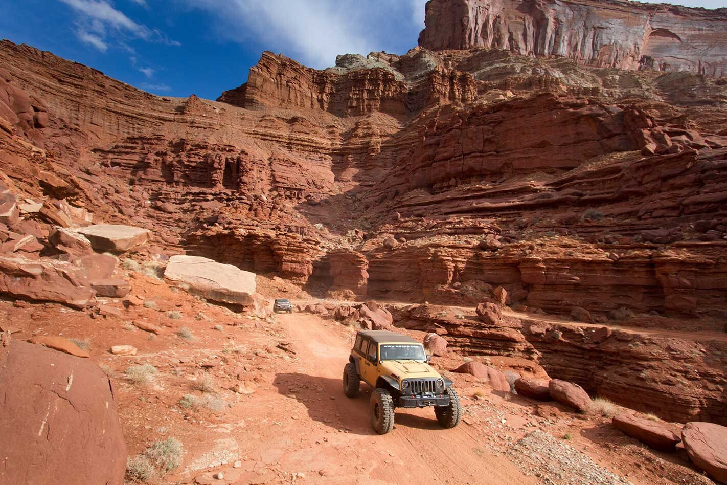
Even though the annual Easter Jeep Safari is a far bigger and more elaborate event than the humble one-day trail ride its progenitor was in 1967, hitting the trails is still a main attraction for event goers and Jeep enthusiasts.
This year’s eight-day event features 35 of the region’s most iconic routes. For those who weren’t able to attend the Easter Jeep Safari, but would like to tackle the event’s trails at their leisure, we talked with Red Rock 4-Wheelers, the organising club, on their assessment of the each sanctioned trail’s difficulties with a scale of 1 (put your kid on your lap for their first 4×4 experience) to 10 (update your insurance policy before you lock in the hubs).
Most on this list are sanctioned trail rides, but a few, such as the axle-snapping Upper Helldorado Canyon, are on private land (but open to the public). Each of the official Easter Jeep Safari trails are marked with painted-stenciled icons along the centre line, as it is easy to lose your way through the slickrock without them. If you find yourself in Moab, here are our top picks.
Hell’s Revenge – Trail Rating: 6/10
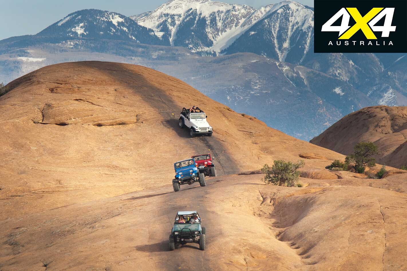
Hell’s Revenge, located just a stone’s toss from town, is one of Moab’s most popular trails. Its slickrock climbs and descents will reveal any white knuckles you may have. On the flip side, despite a fairly high rating, most tougher obstacles have bypasses.
Fins and Things – Trail Rating: 4/10
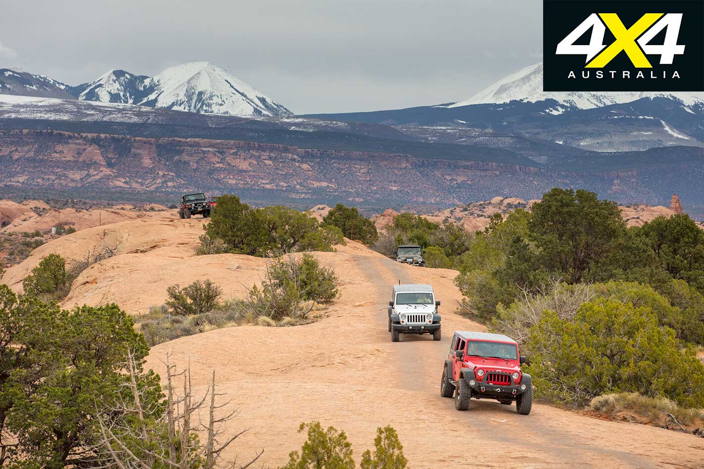
This trail, along with its sister route Hell’s Revenge, traverses a vast region of ancient sand dunes, petrified by intense pressure from tectonic movement and sculpted by wind and rain through the epoch of time. Fins and Things is not exceptionally difficult, but the views of the La Sal Mountains in the background are worth writing home about.
The Hot Tubs – Trail Rating: 4-10/10
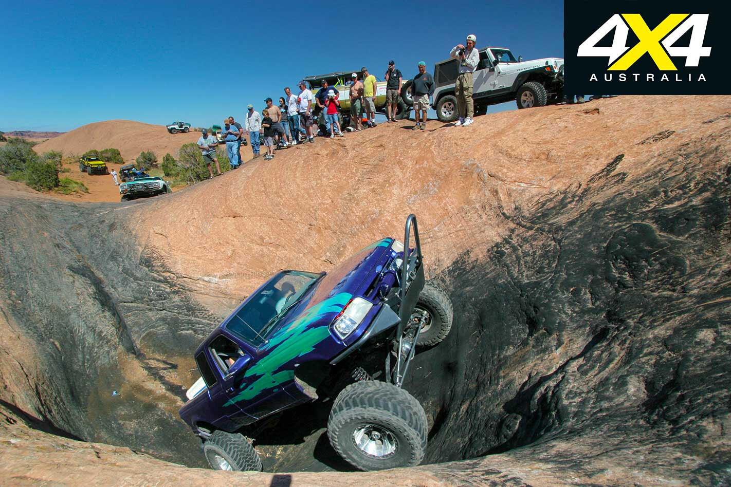
Throughout Southeast Utah are natural depressions in the sandstone known as ephemeral pools or “hot tubs”. When water evaporates, those found along Hell’s Revenge become a thrillseeker’s playground. Mickey’s is difficult and the scene of many a rubber-side-up affair.
Escalator – Trail Rating: 10/10
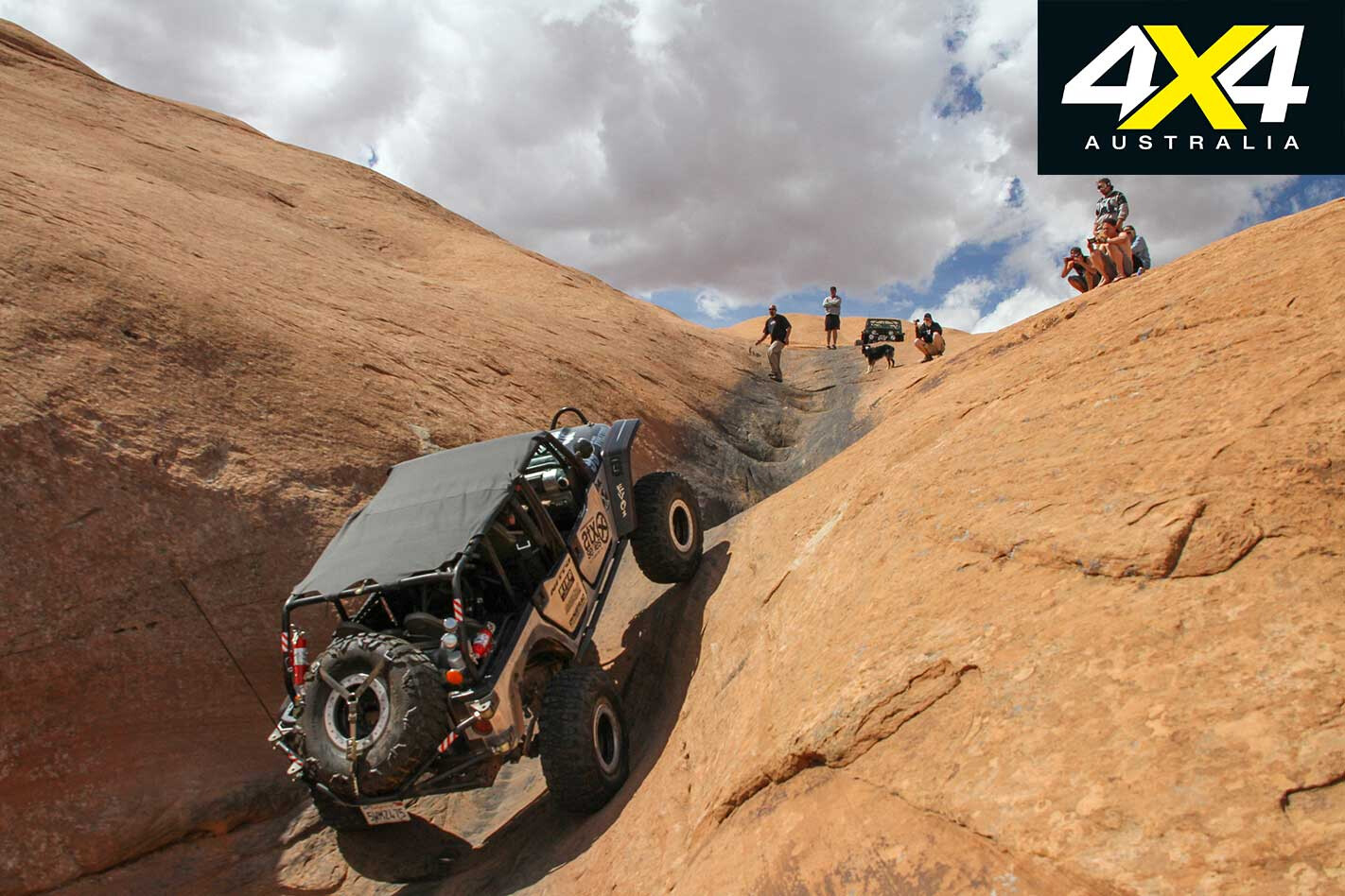
The Escalator, a steep white-knuckle side route on Hell’s Revenge, is not for the faint of heart. It can be tackled by moderately equipped vehicles, but the driver had better be on his/her game.
Potato Salad Hill – Trail Rating: 8/10
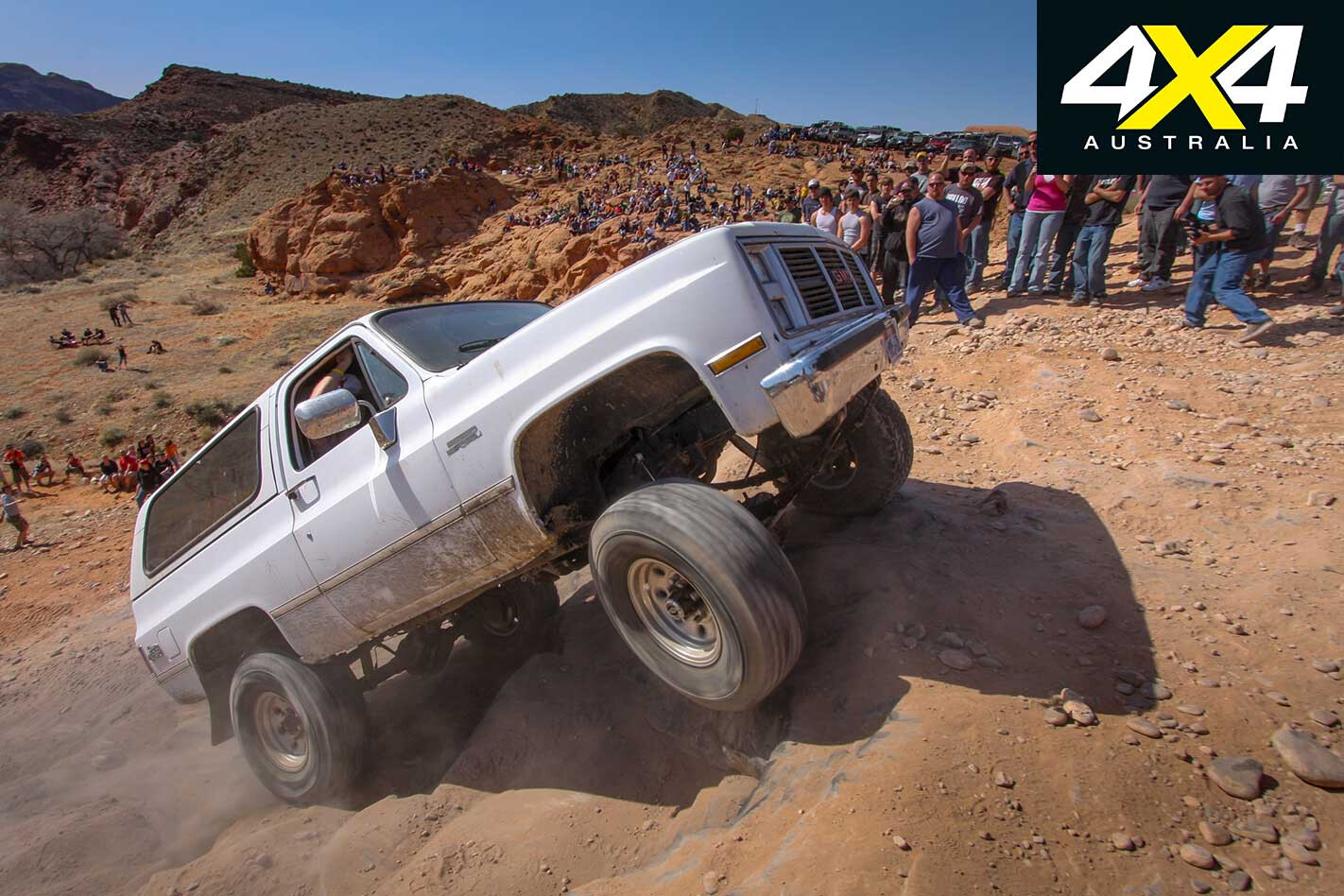
Spectators go wild if you toss your Esky. While not a sanctioned trail, Potato Salad Hill, a 50m series of steep off-camber ledges, gathers huge crowds. It is unforgiving if you choose the wrong line, and has been the “undisclosed” location of many insurance claims.
Dome Plateau – Trail Rating: 4/10
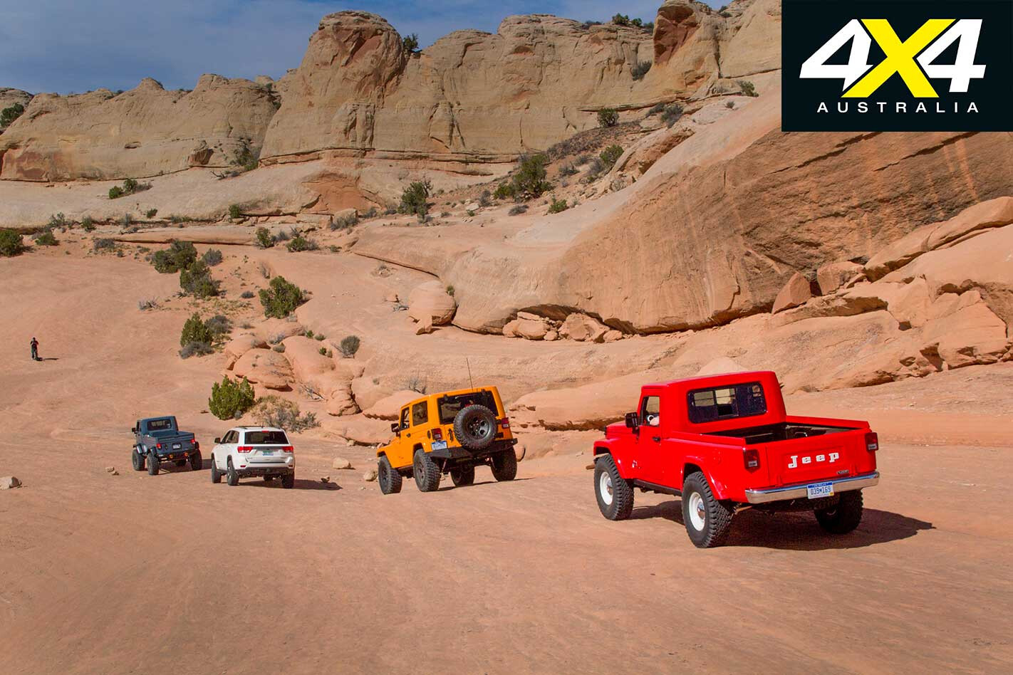
Some 20 miles up the Colorado River from town, the Dome Plateau Trail is great for a scenic day’s cruising. About 25 miles long, it offers Moab’s epic sandstone, river views, and is the site of many petroglyphs from America’s pioneer days of the late 1800s.
The Sand Dunes – Trail Rating: 5-9/10

About 15 miles south of town lay a good-sized field of red sand dunes. Carving a few crescents is a must-do before continuing on to the Behind the Rocks Trail.
Hurrah Pass – Trail Rating: 2/10
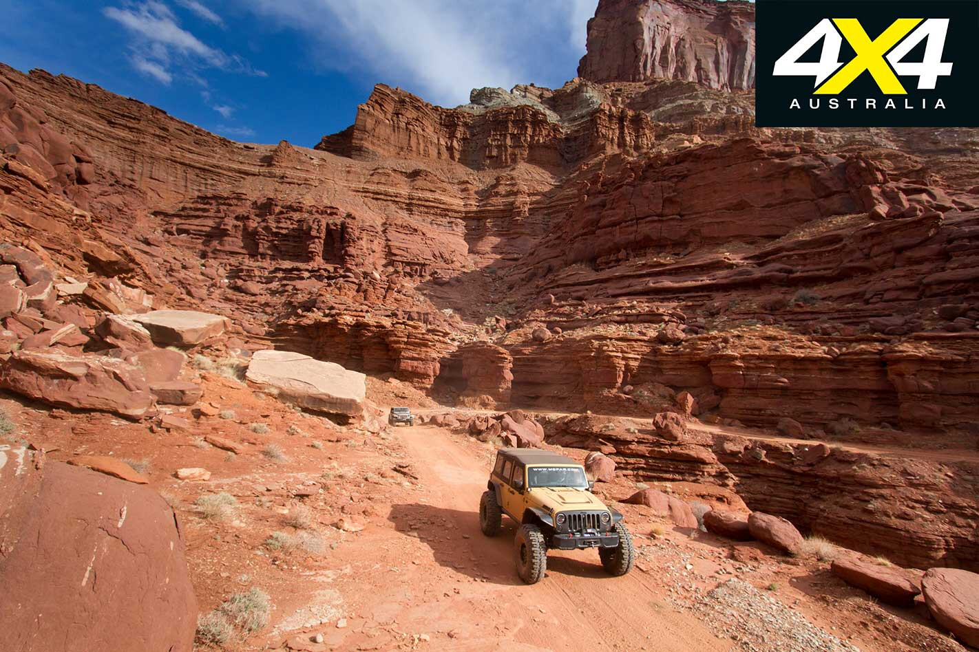
The gateway to the Lockhart Basin and Chicken Corners Trails, Hurrah Pass, while suitable for any four-wheel drive, is one of the most picturesque drives in the area. You are likely to see local wildlife, including herds of big horn sheep and coyotes, while making your way to an overlook above the Colorado River.
Upper Helldorado – Trail Rating: 10/10
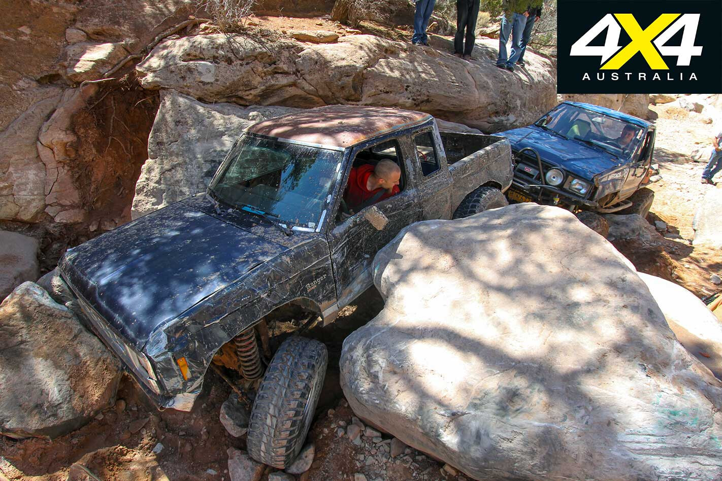
Carnage guaranteed. Experiencing Upper Helldorado is better done as a spectator if you value your sheetmetal and axles. Its crevasses and near-vertical waterfalls (dry) are rock buggy terrain, and while less than a kilometre in length it may take all day to complete … or get towed back to town for repairs.
The Geology Run – Trail Rating: 2/10
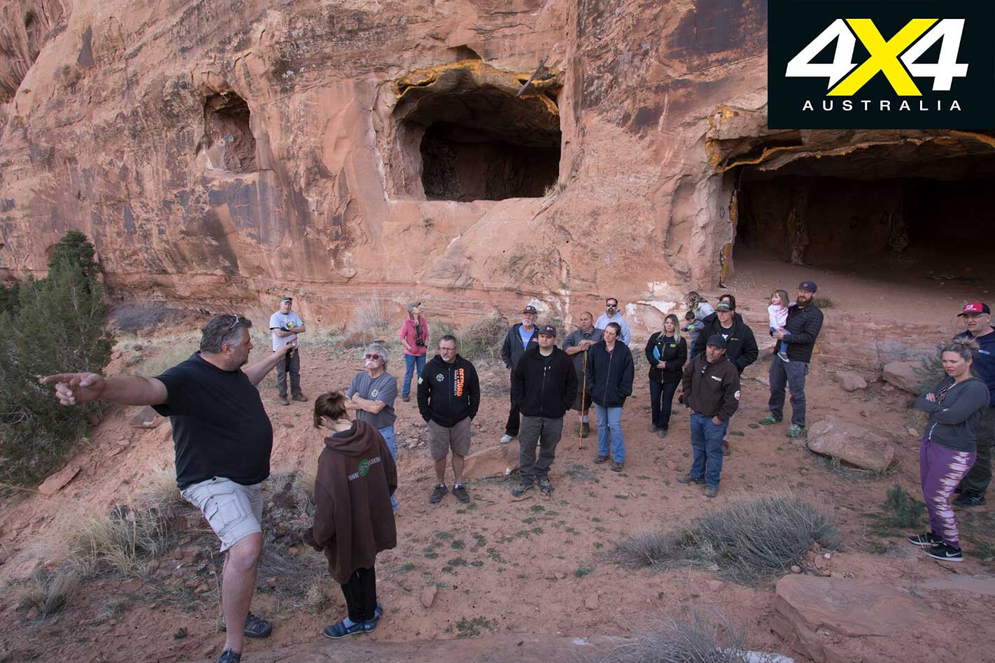
For the past few years we’ve joined professional geologist John Mears for the Lost River Off-road Geology Run. Nearly all trails in the Moab region are the byproduct of the Cold War hunt for uranium, and this year Mears took us to the place it all began.
In 1952, unemployed oil geologist Charles Steen discovered high-grade uranium ore in this ledge. It would become known as “Steen’s Folly” and ignited a flood of freelance prospectors to the region.
Moab Rim – Trail Rating: 7/10
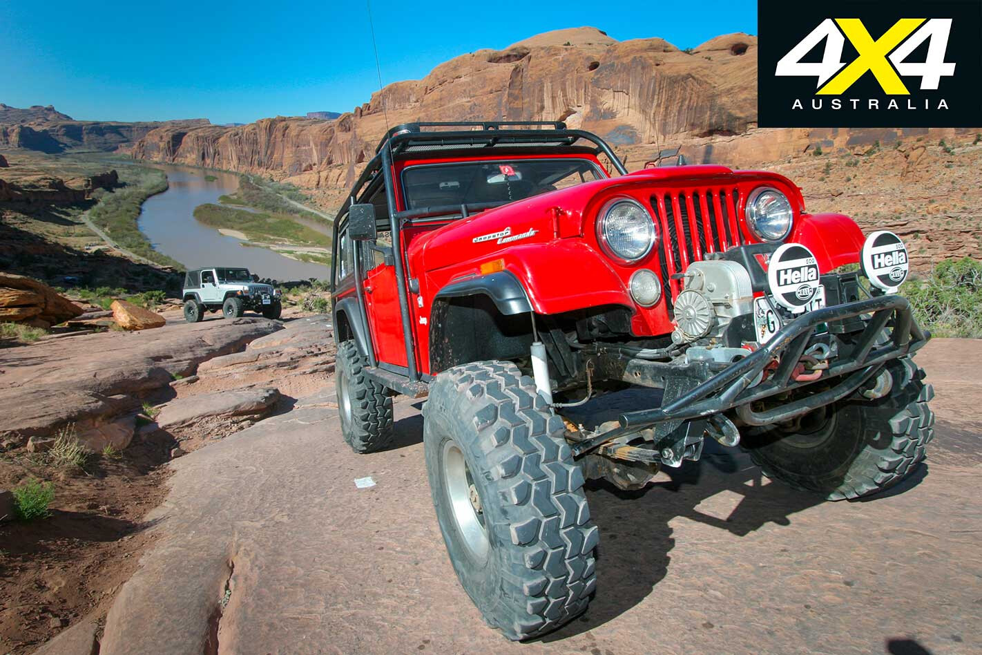
Climbing from the Colorado River to nearly 1000 metres over the town of Moab, “The Rim,” as it is called by Safari regulars, was one of the first trails used in the 1960s. Back in the day (before the era of 12-Volt fridge/freezers), the Red Rock 4-Wheelers would have a small plane fly over the lunch stop and air-drop ice cream for participants.

