1. Moreton Island
Words: Justin Walker
Photos: Scott Mason
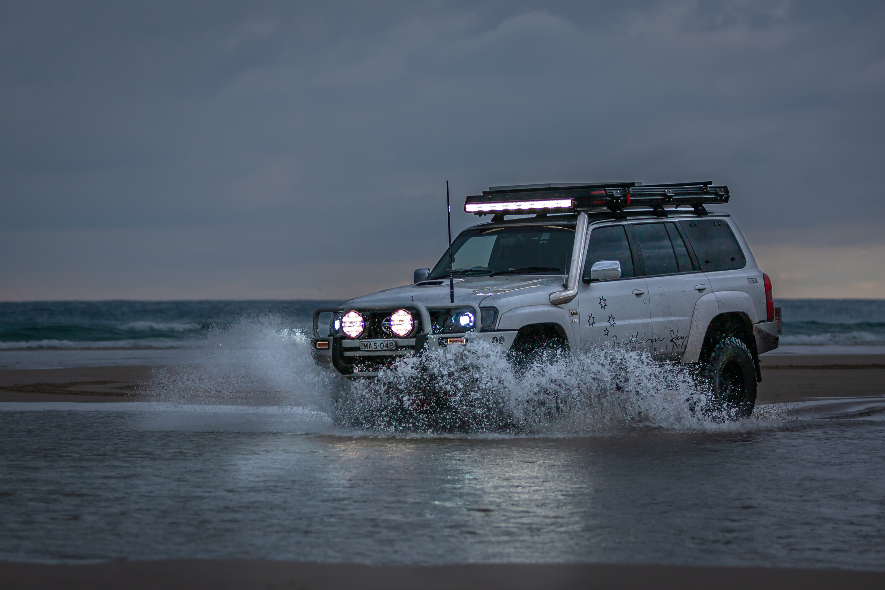
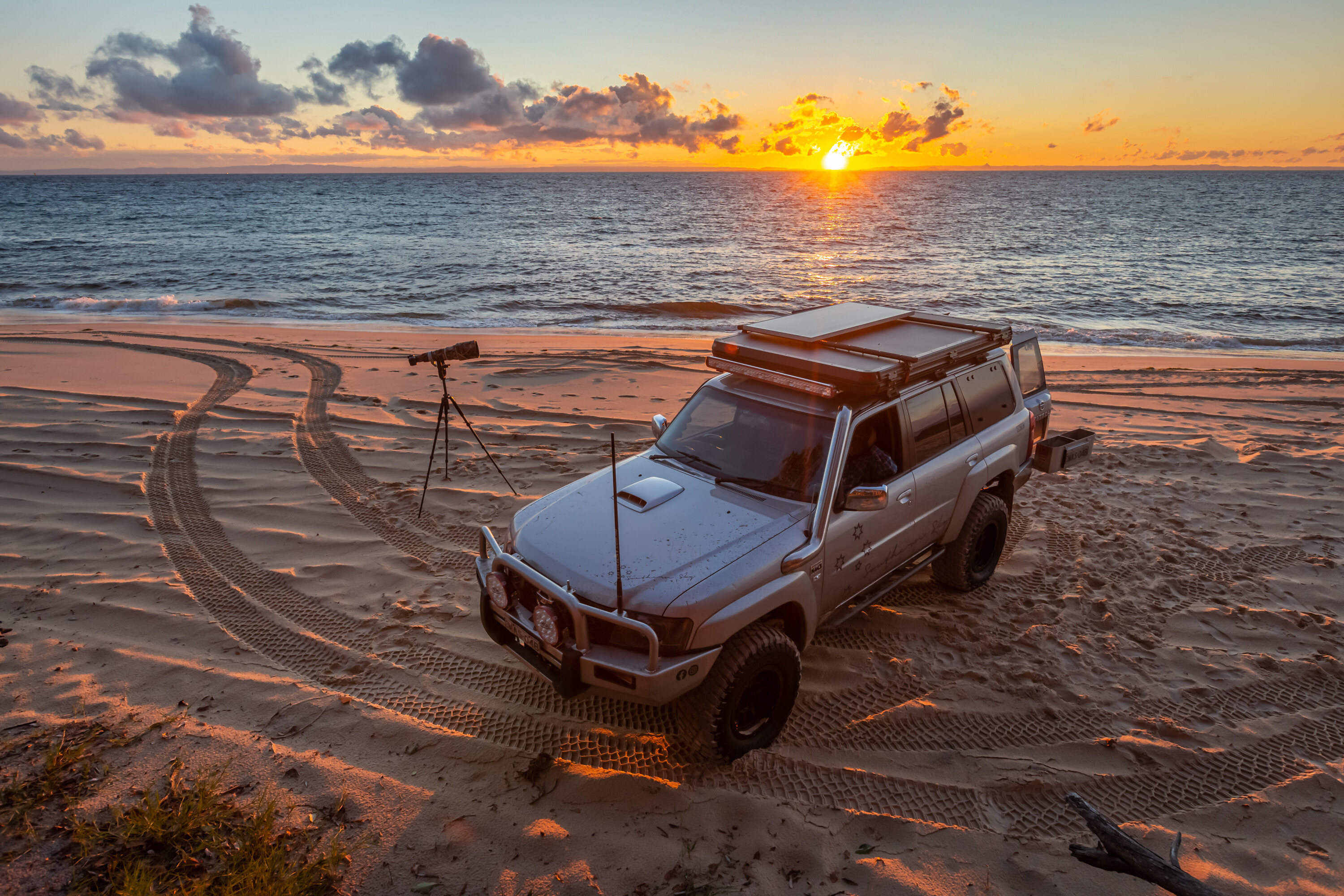
Just 40km from the city of Brisbane, Moreton Island offers the perfect off-road adventure. With 18,000ha of sand, bush and beaches, it’s ideal for a weekend escape whether you’re into swimming, diving, fishing, camping or bushwalking.
What makes Moreton Island stand out is that all its roads are sandy tracks – there are no sealed roads here, so it’s a true 4×4 experience. The island’s soft sand makes it a prime destination for off-road enthusiasts, and it’s just a short ferry ride from Brisbane. The Micat ferry runs daily from the Port of Brisbane to the island’s western coastline (The Wrecks) where your adventure begins.
The island’s beach-driving conditions depend on tides and weather. Big storms can erode large sections of beach, so it’s important to check the latest track and beach conditions on the Queensland Department of National Parks website before heading out.
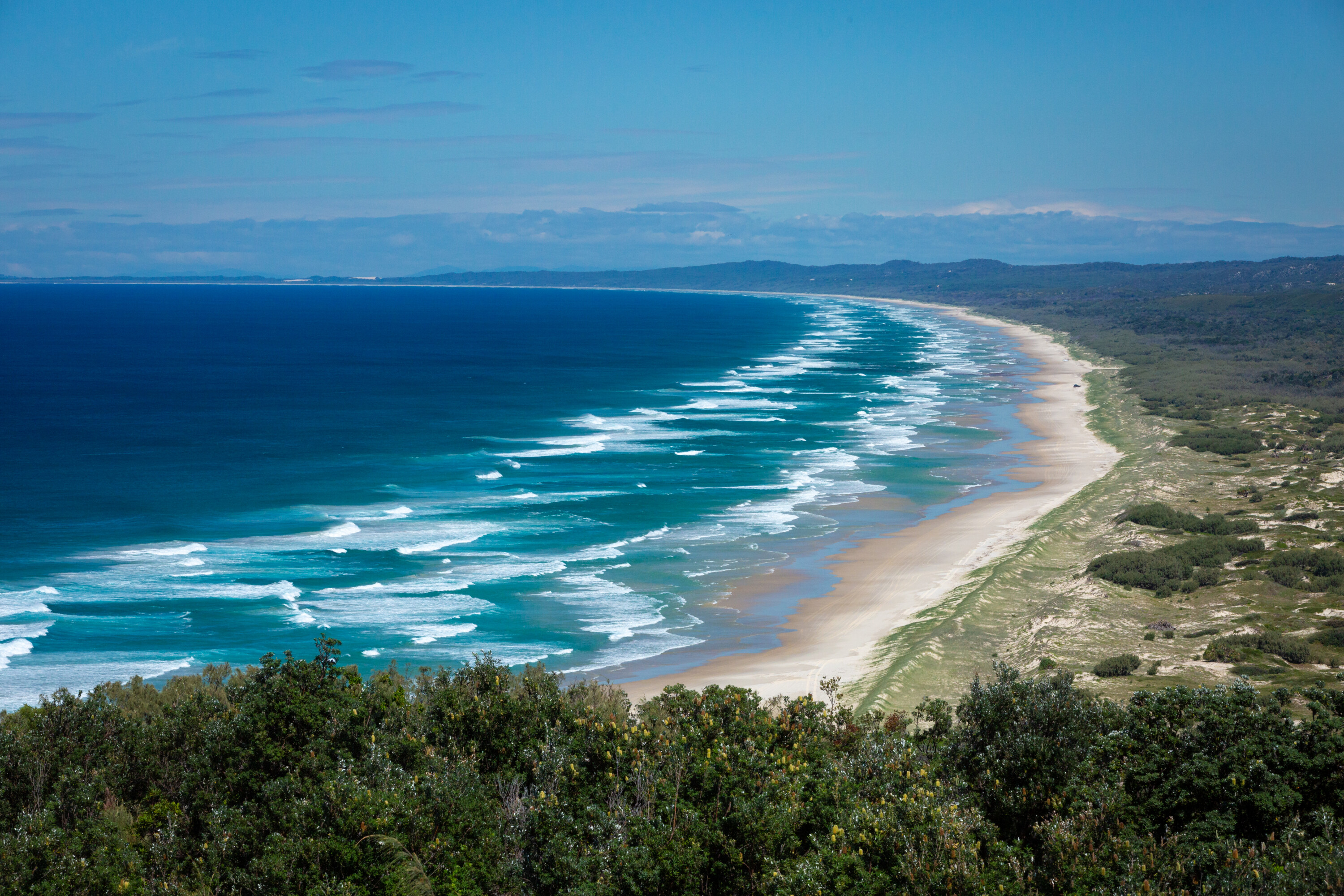
We recommend planning your beach driving around two hours either side of low tide to avoid getting stuck – many vehicles have been claimed by Moreton’s beaches.
Moreton Island offers five campgrounds equipped with toilets, showers and bore water (always treat or boil the water before use). In addition, there are five beach-based camping zones, but note that campfires are only allowed in designated fire pits at campgrounds, and you’ll need to bring your own wood.
Fishing is popular on the island, but parts of the coastline fall within the Moreton Bay Marine National Park, where fishing is prohibited, so be mindful of restricted areas when planning your catch.
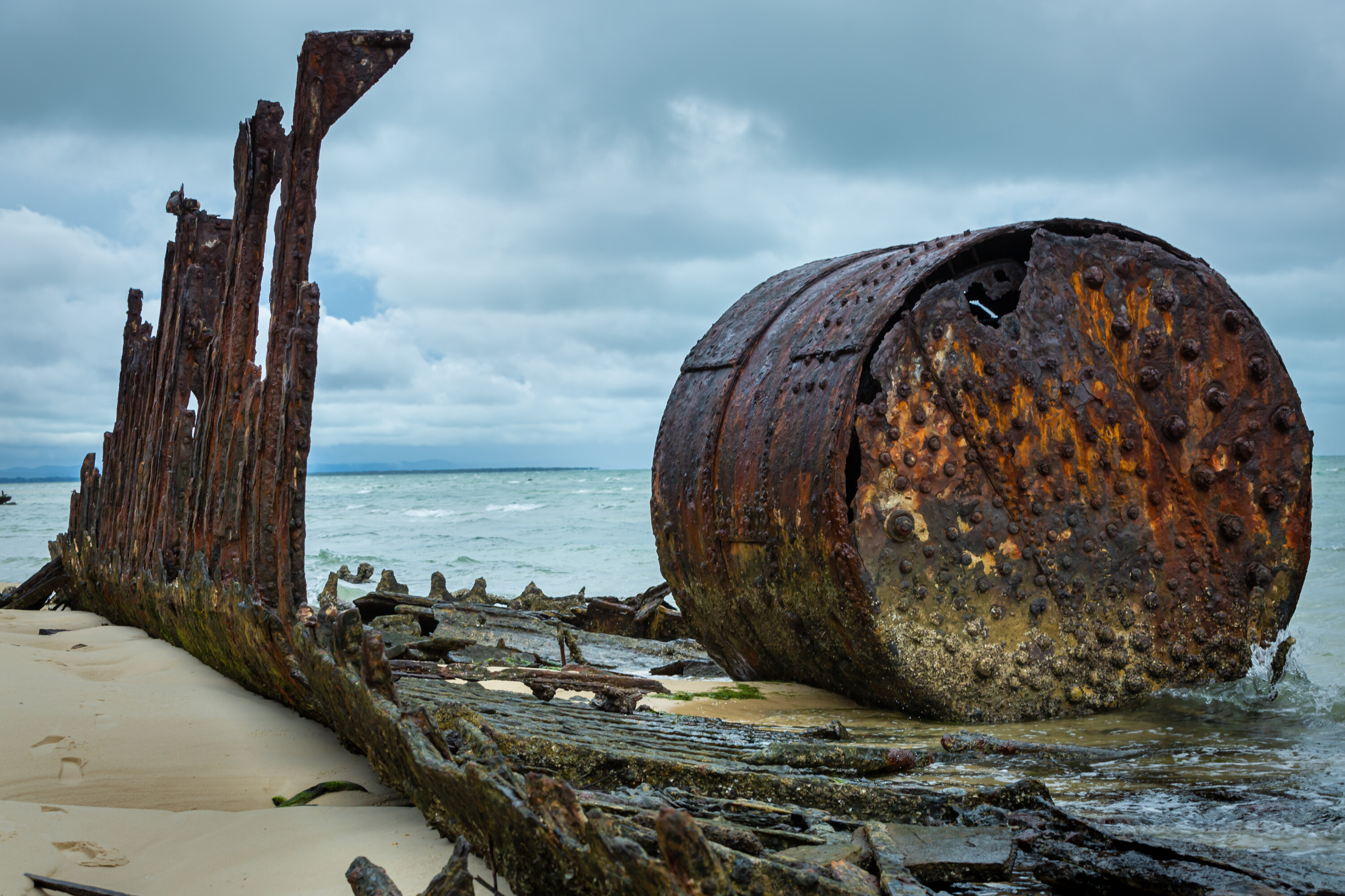
If you’re camping overnight, head north after arriving at The Wrecks. From there, you can take high-tide tracks at Cowan Cowan and Cravens Creek, then return to the beach for the remainder of the drive north to Bulwer.
For a picturesque camping spot, head to Comboyuro Point campground, a quiet spot near the island’s northern tip.
For a longer adventure, the Bulwer North Point Road takes you across the island’s northern section, passing beaches and access tracks, as well as the Five Hills Lookout. This viewpoint, atop a huge sand dune, offers stunning views of Heath Island. Continue on to Yellow Patch and North Point campgrounds, near the historic Cape Moreton Lighthouse, for an overnight stay.
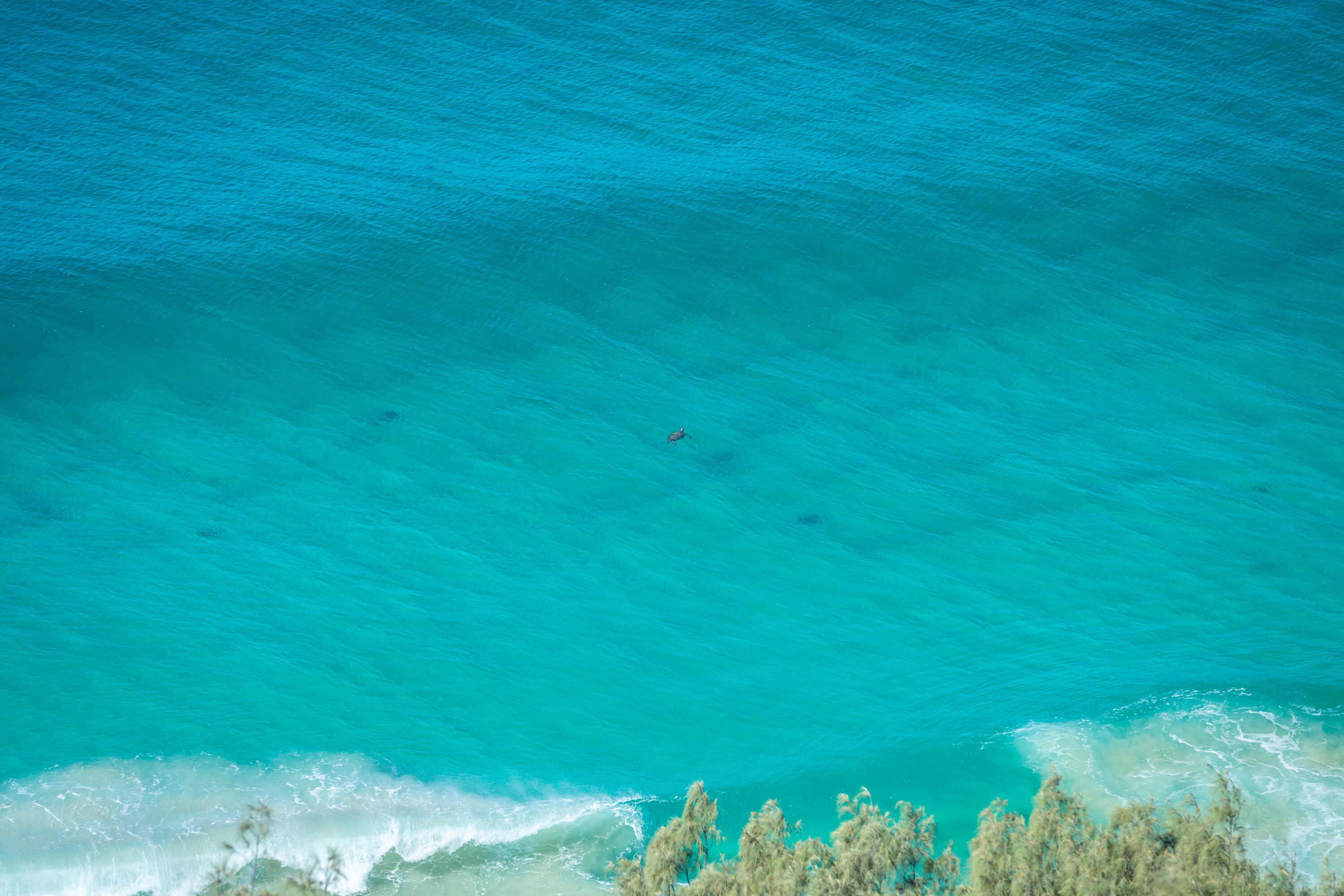
If you’re towing a camper trailer, the Bulwer Blue Lagoon Road is a good route to reach Blue Lagoon campground on the east coast. During whale-watching season (June to October), you might even spot a few whales from here.
Blue Lagoon is another must-visit, known for its crystal-clear waters and popular campground. South of Spitfire Creek, more camping opportunities await, but we recommend stopping at Blue Lagoon for a swim and rest.
For history buffs, a stop at the Rous Battery site is worth it. This World War II defence installation is now in ruins, but it offers an interesting glimpse into the island’s military past and is a great spot for the kids to explore.
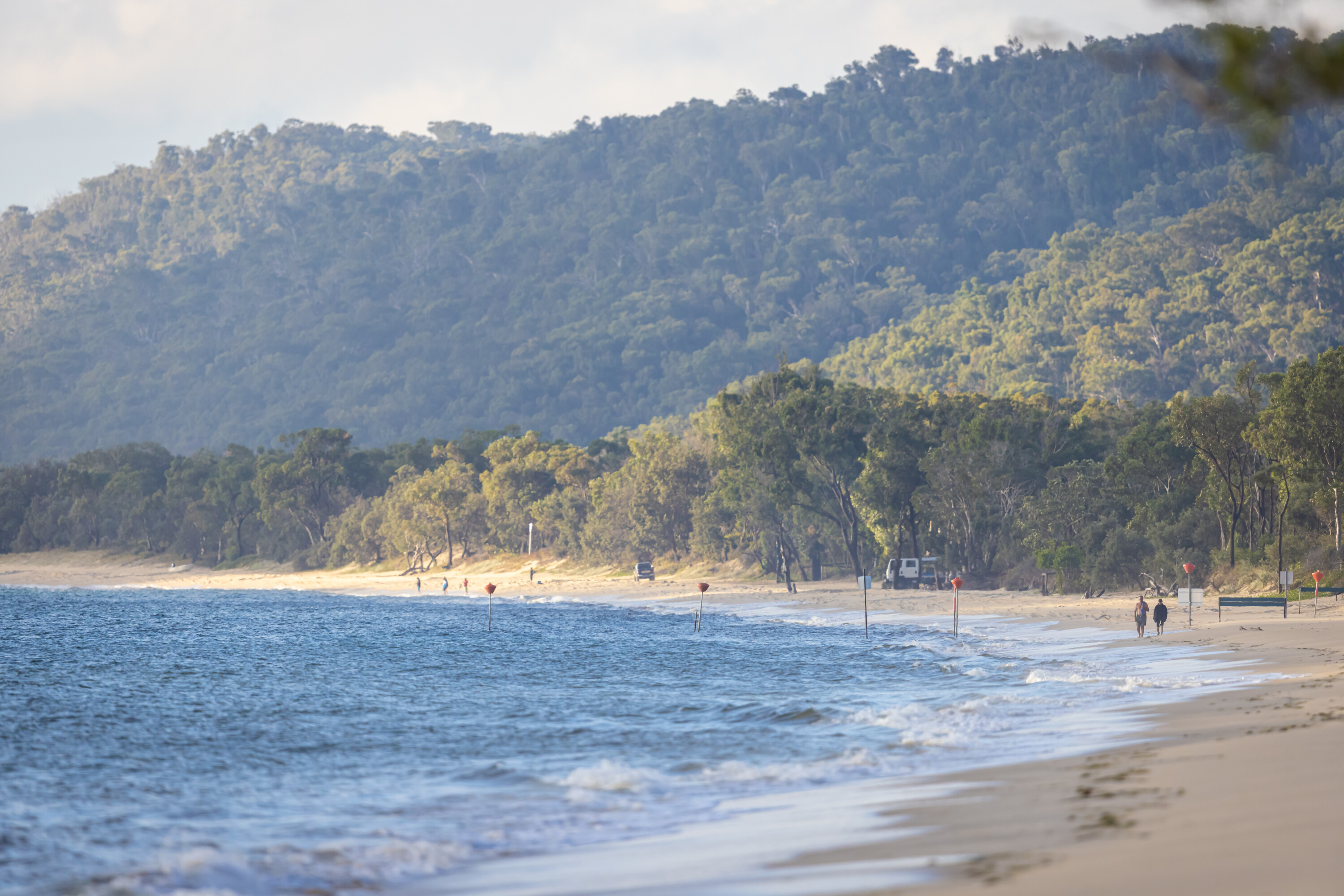
A little farther south, the Little Sandhills and Big Sandhills provide fantastic views and the chance to try sand tobogganing, a favourite Moreton Island activity. These massive dunes rise over 80m, offering plenty of thrills.
At the island’s southern tip, Mirapool Lagoon is a prime birdwatching spot, and the nearby Kooringal area is the ferry departure point for North Stradbroke Island.
From here, you can either head back along the eastern beach track to The Wrecks and the ferry back to Brisbane, or take the ferry from Kooringal for a new adventure. Moreton Island is a true 4×4 paradise, offering something for every outdoor enthusiast, all just a short trip from the city.
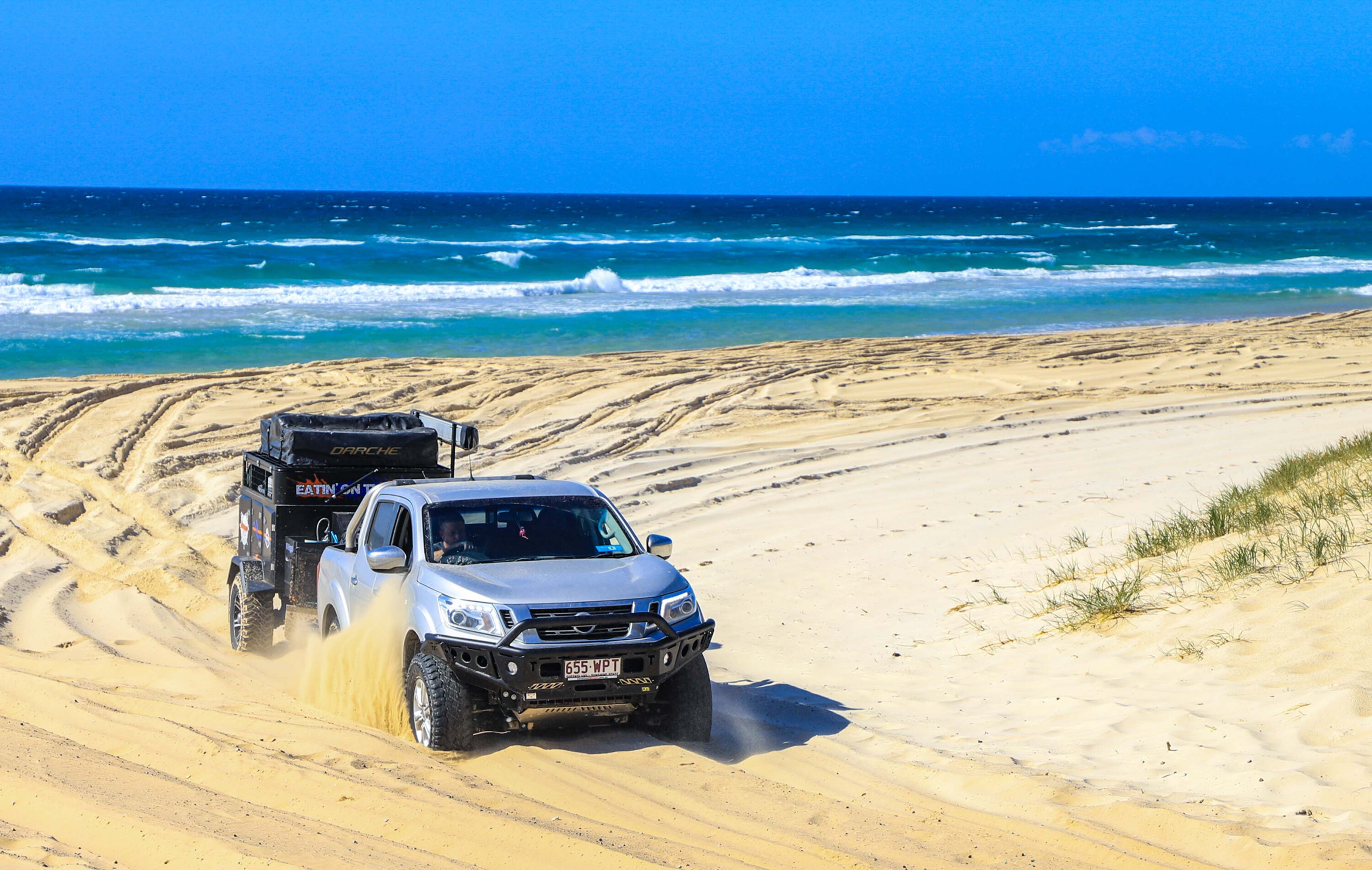
2. North Stradbroke Island
Words: Justin Walker
Photos: Matthew and Lucy Eaton
Stradbroke Island, or Straddie as it’s affectionately known, offers a perfect weekend escape from Brisbane, similar to Moreton Island.
Accessible by ferry from Cleveland or from Moreton Island’s northern tip, Straddie boasts a wide range of activities including swimming, surfing, fishing, beach driving, kayaking, camping and golf – yep, there’s a golf course on the island.
Like Moreton, a beach access permit is required for driving on Straddie’s beaches. It’s important to note that four-wheel drive access to the beaches is restricted an hour either side of high tide, and fines are issued for violations. Naree Budjong Djara National Park covers parts of the island, with restrictions on vehicular access to certain areas, such as Blue Lake, which requires a 5km return walk to reach.
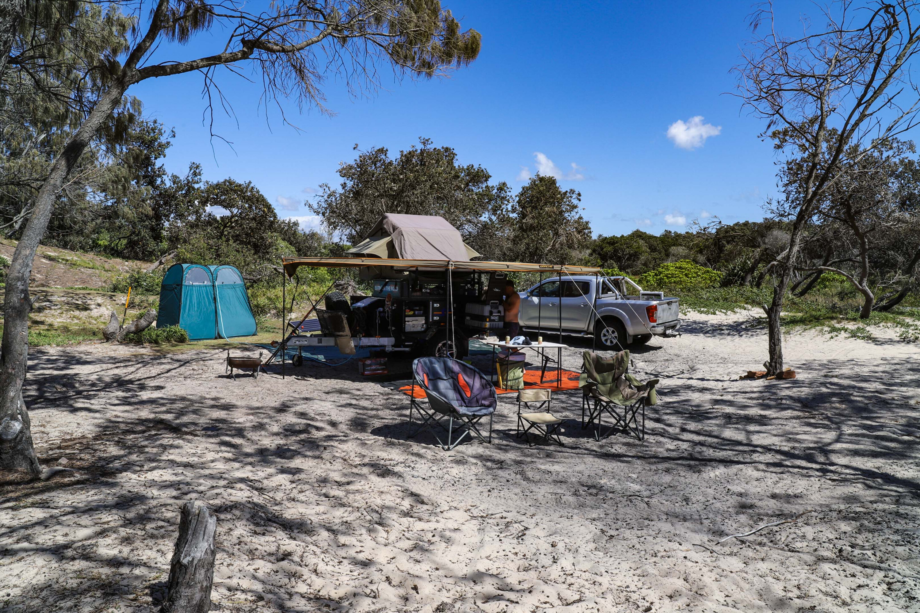
The island’s roads are a mix of sealed bitumen and unsealed 4×4-only tracks. The ferry lands at Dunwich, the island’s main settlement, where you can pick up supplies and grab an island map before heading off on your adventure.
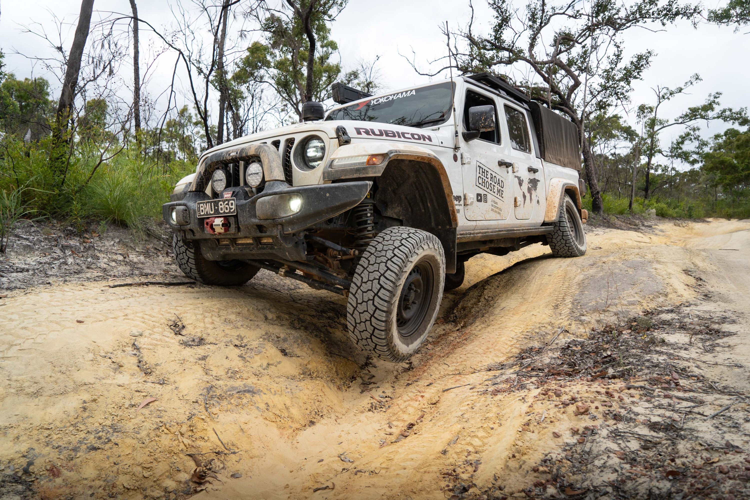
From Dunwich, the preferred route is to head north along Dickson Way. A quick detour east along Tazi Road takes you to Brown Lake, a great spot for a swim or picnic. However, this track is best suited for high-clearance 4x4s, especially after rain, as it can become quite muddy.
If you’re after a more relaxed family-friendly route, continue north on East Coast Road, passing through the northern section of Naree Budjong Djara National Park. You can then head to the Amity Point caravan park or, for a quieter experience, camp along Flinders Beach.
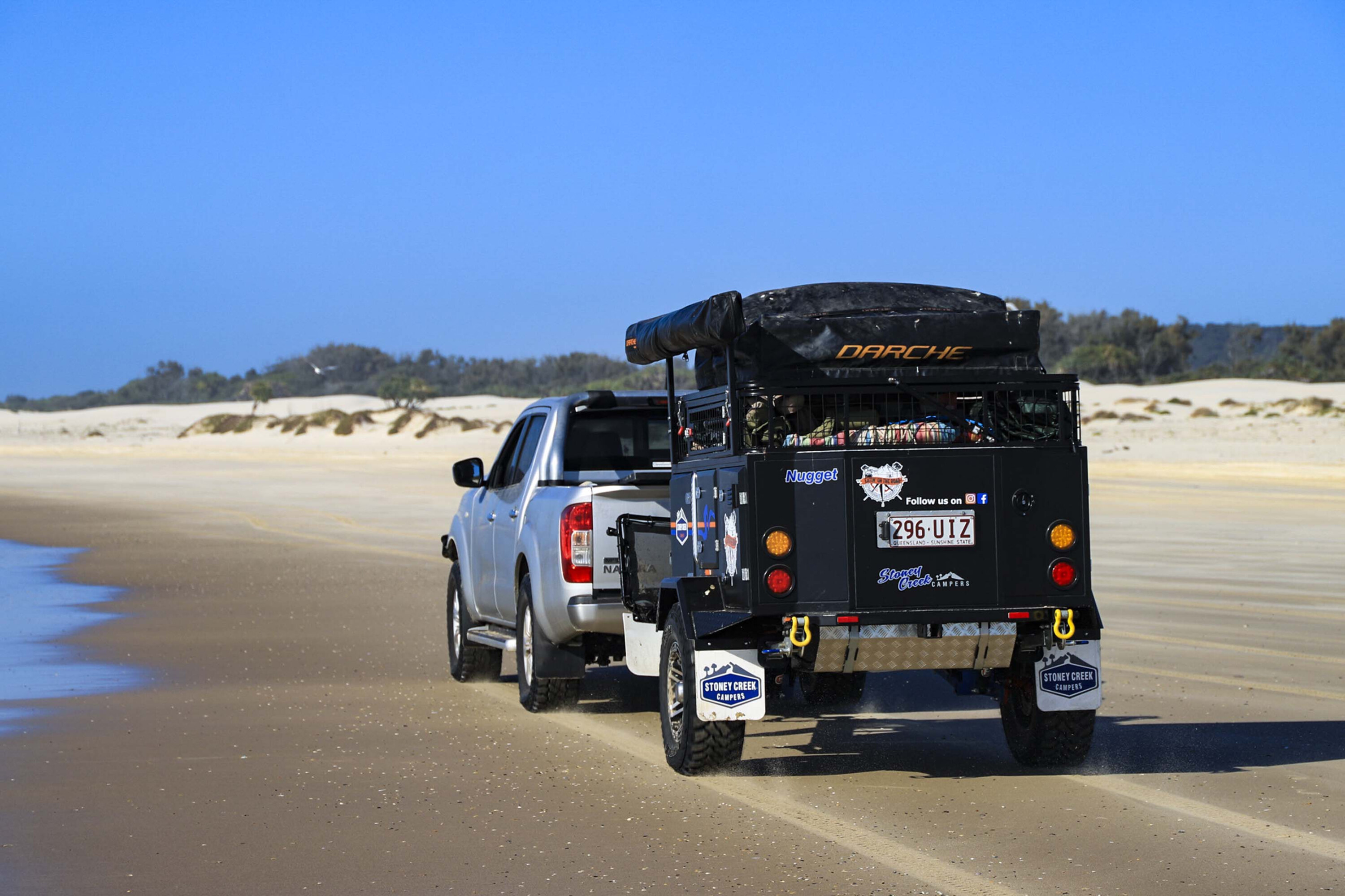
The beach drive here is fantastic, but be cautious as this area is popular with pedestrians and anglers, so it’s important to drive slowly and be aware of others.
From Flinders Beach, you can head further north towards Adder Rock, a small settlement before reaching Point Lookout, where fuel and supplies are available. Continuing south, you’ll drive the iconic 24km stretch along Main Beach, which runs from Point Lookout to Jumpinpin Channel (The Pin), the channel separating North and South Straddie. Along the way, there are several campsites where you can settle for the night.
Alternatively, you can retrace your steps north and turn onto Tazi Road, passing the Blue Lake walk carpark before returning to Dunwich and taking in Brown Lake if you missed it earlier.
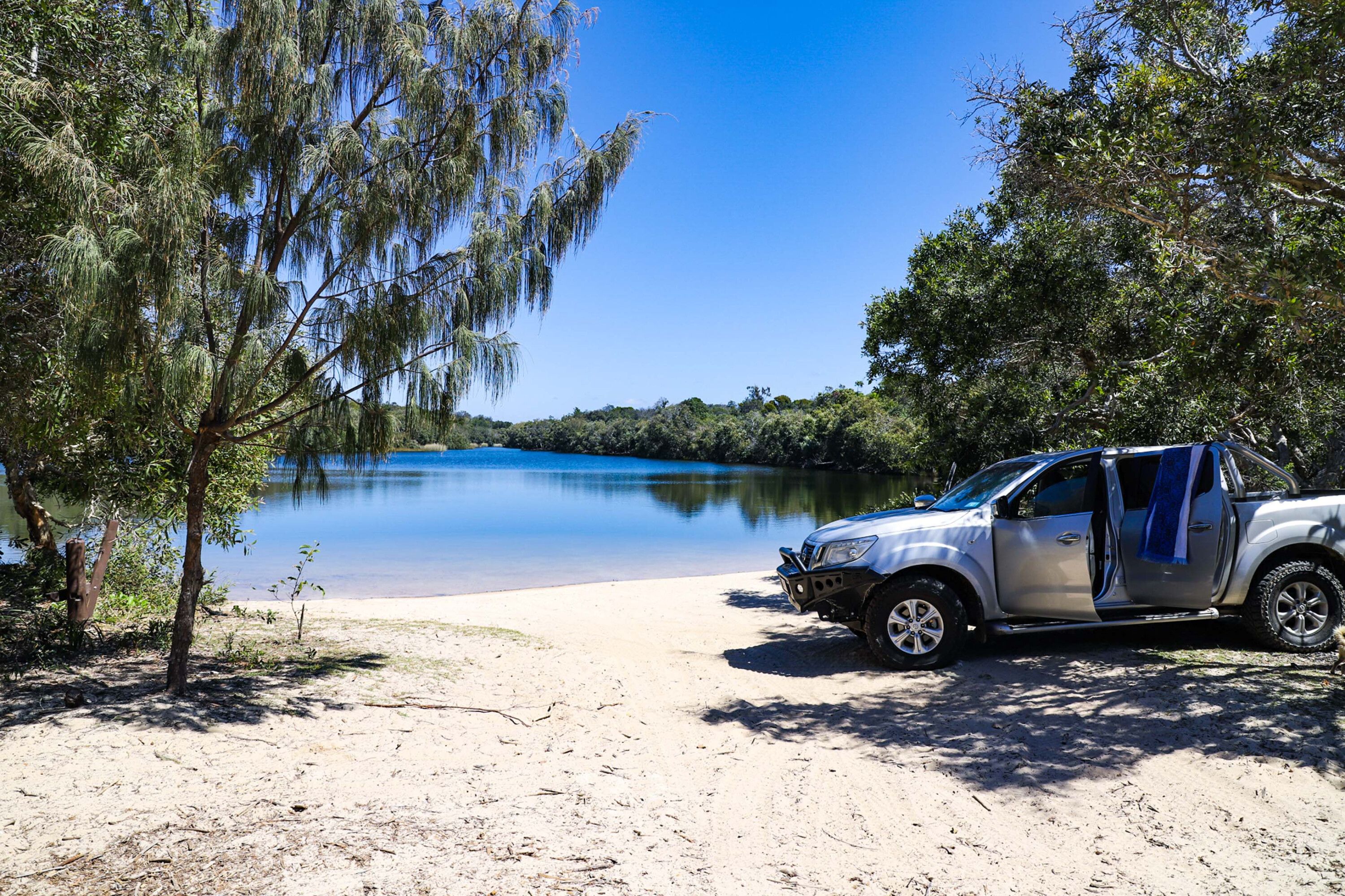
For a more challenging 4×4 experience, head north from Dunwich along East Coast Road/Dickson Way and turn right just past Beehive Road onto Tripod Track.
This is a thrilling drive through Straddie’s lush interior, and you can stop at Tripod Lookout for panoramic views. The track then narrows, leading you onto Tazi Road before turning onto Fishermans Road.
Continue north on Fishermans Road until you reach the turnoff to Keyhole Lakes Track. This side trip is recommended for experienced 4×4 drivers, as it involves several water crossings, so make sure your vehicle is equipped with a snorkel, and check water depths before attempting.
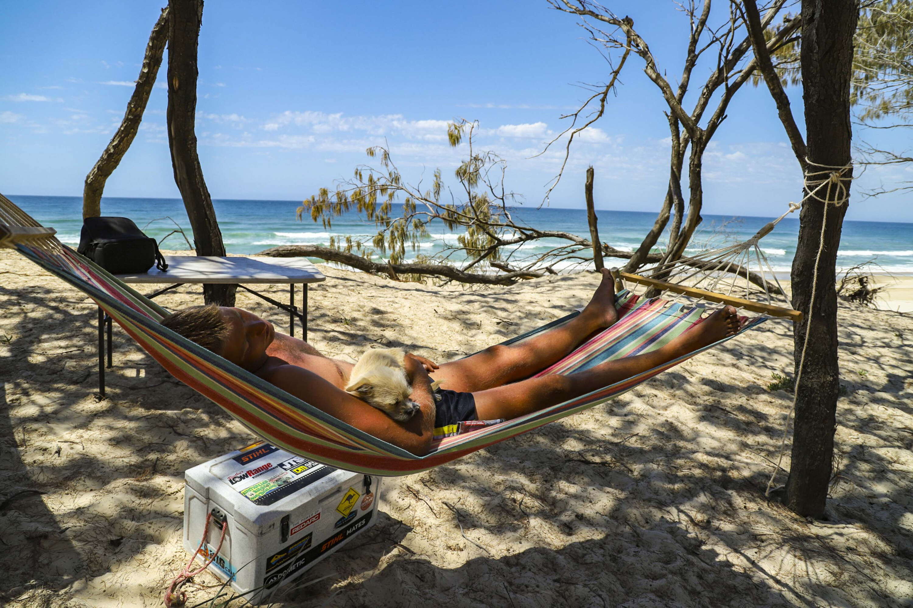
This track takes you to remote lakes perfect for kayaking, fishing and picnicking. Due to the tough access, these lakes provide a sense of solitude that’s hard to find on the more popular parts of the island.
Straddie offers a fantastic mix of easy-going coastal drives and more challenging off-road tracks, making it an ideal destination for both families and experienced 4×4 adventurers. With its beautiful beaches, lush forests, and remote spots for paddling and fishing, it’s the perfect weekend getaway just a short trip from Brisbane.
3. K’gari (Fraser Island)
Words and photos: Dan Grec
For decades many have referred to Fraser Island as paradise, which coincidentally is the meaning of the island’s original Aboriginal name K’gari, which it has now re-adopted.
K’gari is the world’s largest sand island, and is made of 113 cubic kilometres of the stuff. Much more than just sand, however, K’gari also boasts rainforests, wildlife, 1000 year old trees and more than 865 species of plants.
This incredible island paradise was UNESCO World Heritage Listed in 1992, and virtually the entire island can be explored with a well-equipped four-wheel drive vehicle. K’gari sits barely a kilometre off the mainland, and multiple barges and ferries regularly make the crossing, transporting an armada of 4x4s and their grinning drivers.
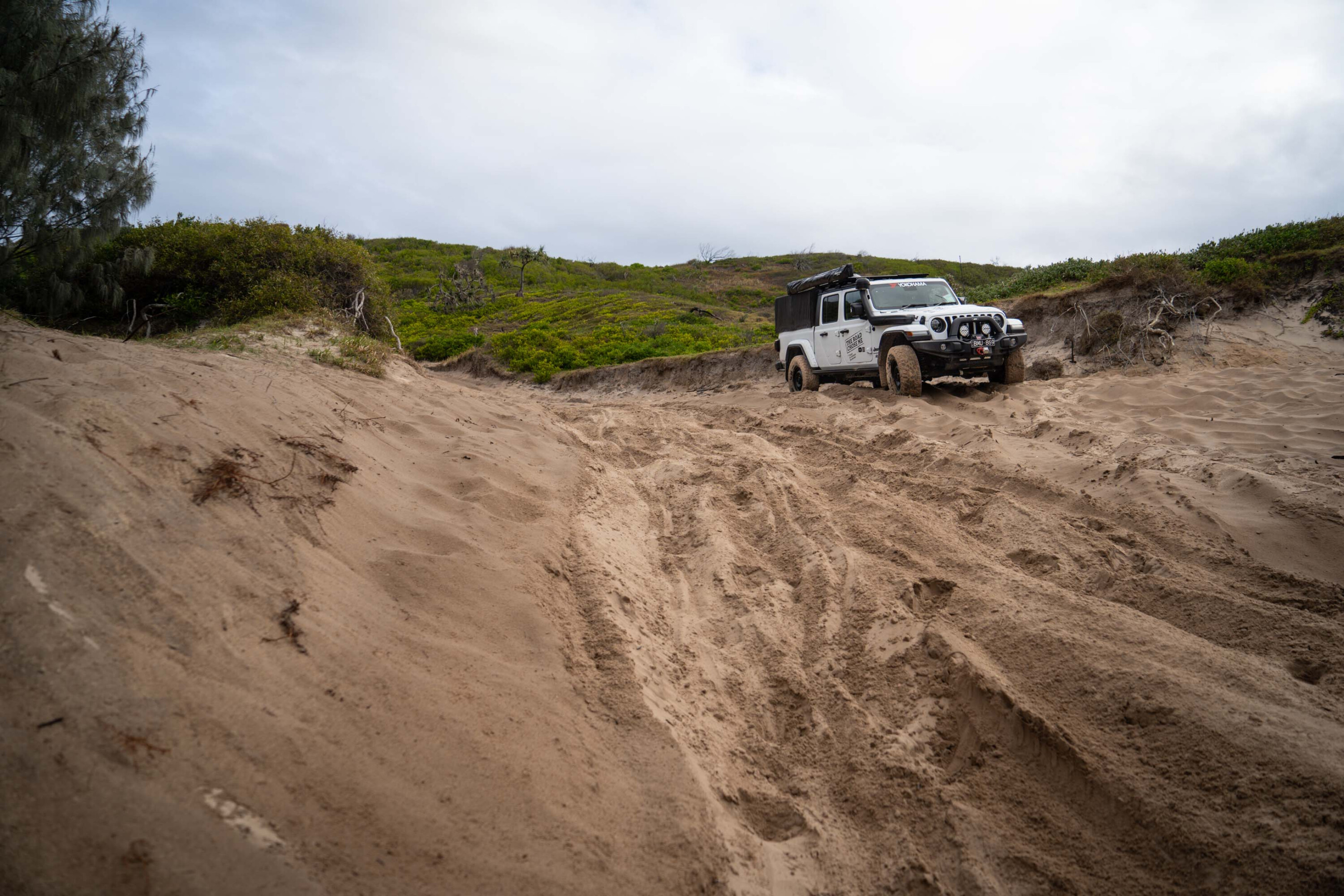
Many of the decked-out vehicles could easily be on the cover of a magazine, and they’re all packed to the brim, ready for adventure.
From top to bottom, K’gari is dotted with spectacular places to visit, each of which are a worthy destination in their own right. The aptly named 75 Mile Beach runs along most of the east coast of the island, and is designated a main road complete with speed limits and police radar. The sand road is so consistently good it is also used as a runway for light planes, which makes for some interesting decision making while navigating its length.
Halfway along the east coast of the island is the famous wreck of the luxury passenger ship, the SS Maheno. In 1935 the ship was caught in a strong cyclone about 80km off the coast of Queensland while being towed to a scrapyard. The ship became beached on the east coast of the island where it has remained ever since, slowly rusting away in the corrosive saltwater.
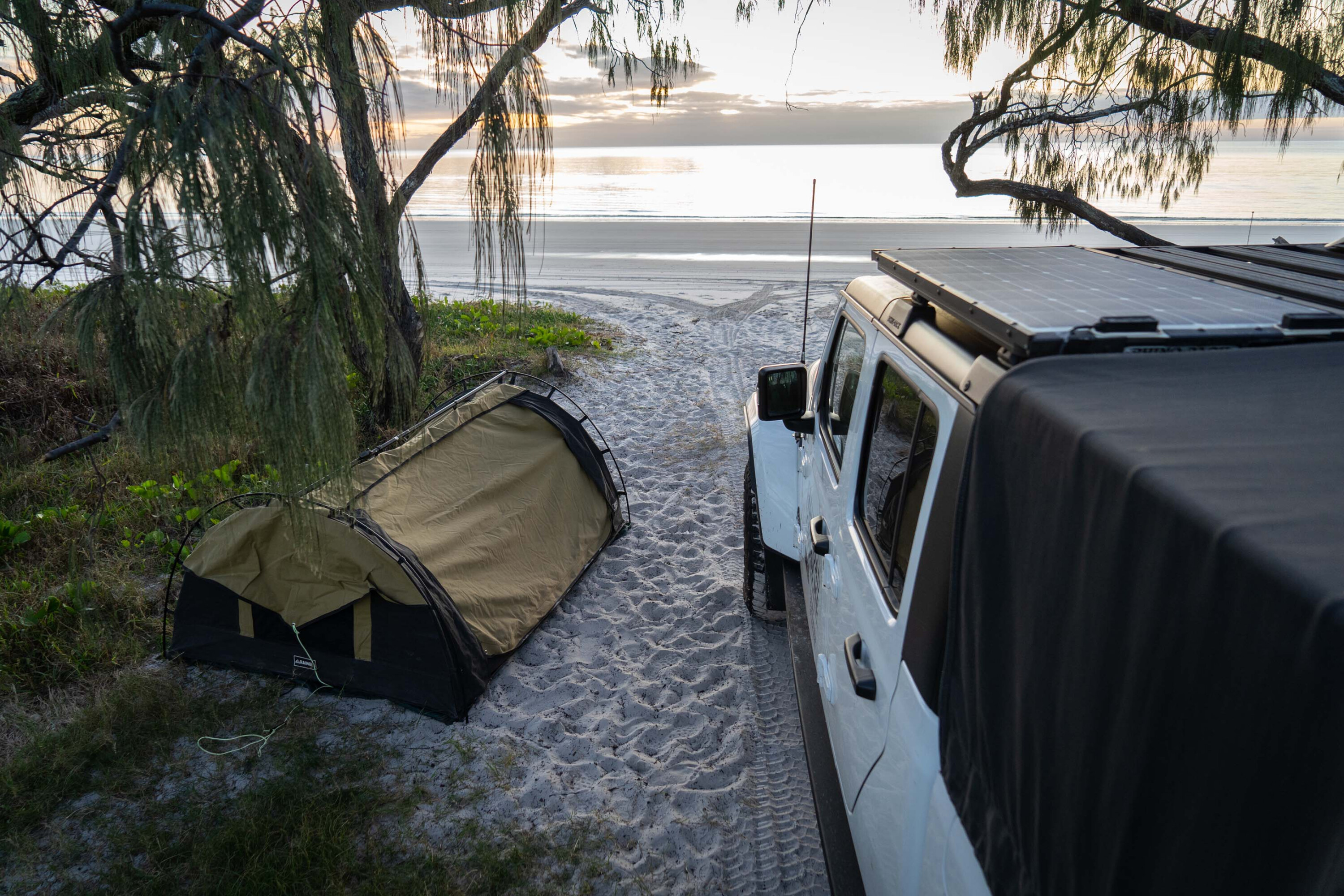
Just north of the Maheno wreck on the east coast, Eli Creek flows into the ocean and provides not only a refreshing swimming hole, but also hours of entertainment for the whole family.
The crystal clear creek flows at a rate of 80 million litres per day, which provides plenty of flowing water allowing you to drift downstream on just about any kind of inflatable or pool noodle.
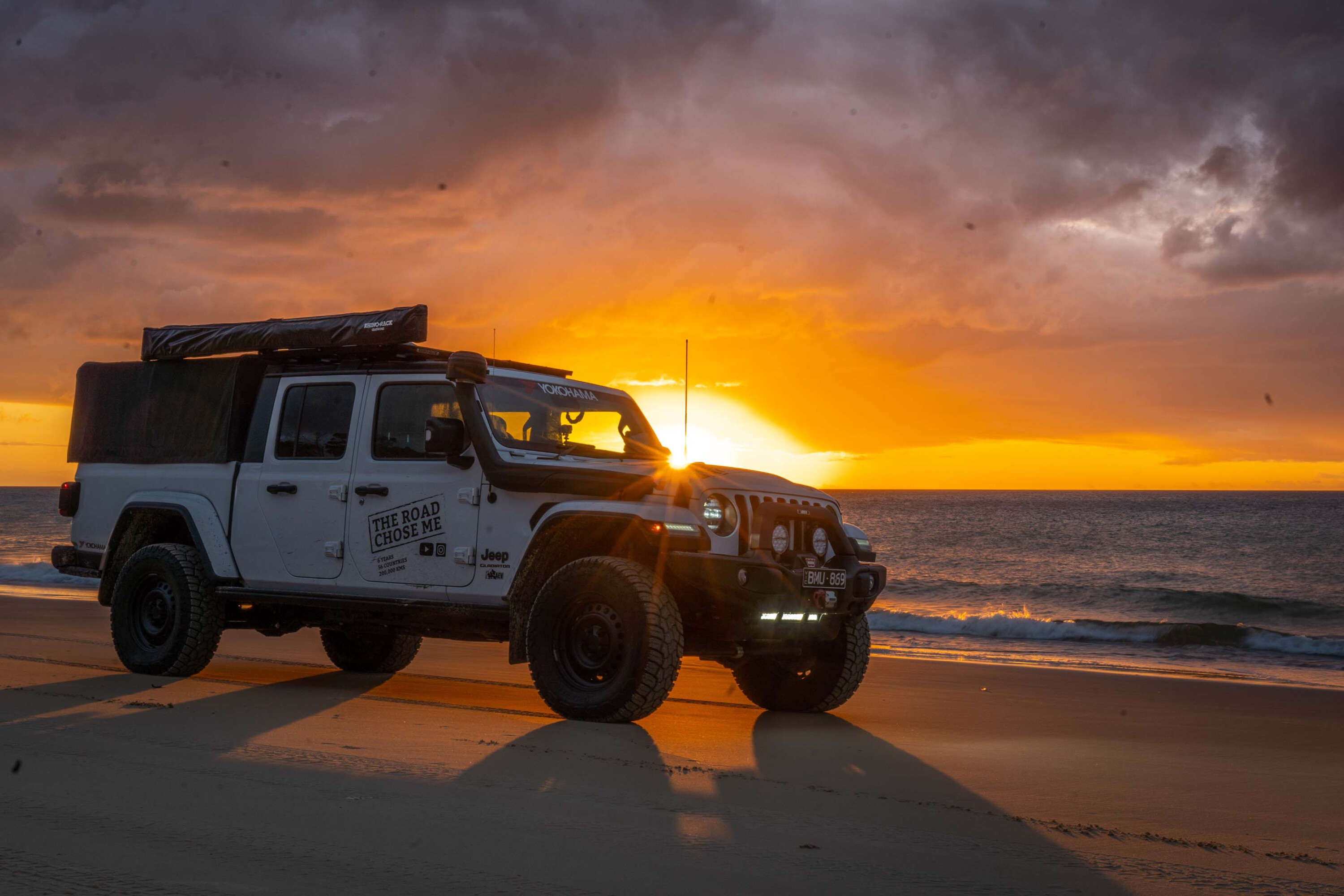
Cutting across the island to the west coast is the breathtaking Awinya Creek camping area where paradise is elevated to a whole new level – with white sand stretching to the horizon, and sunset painting the sky and sand every shade of red, orange and yellow that can be imagined.
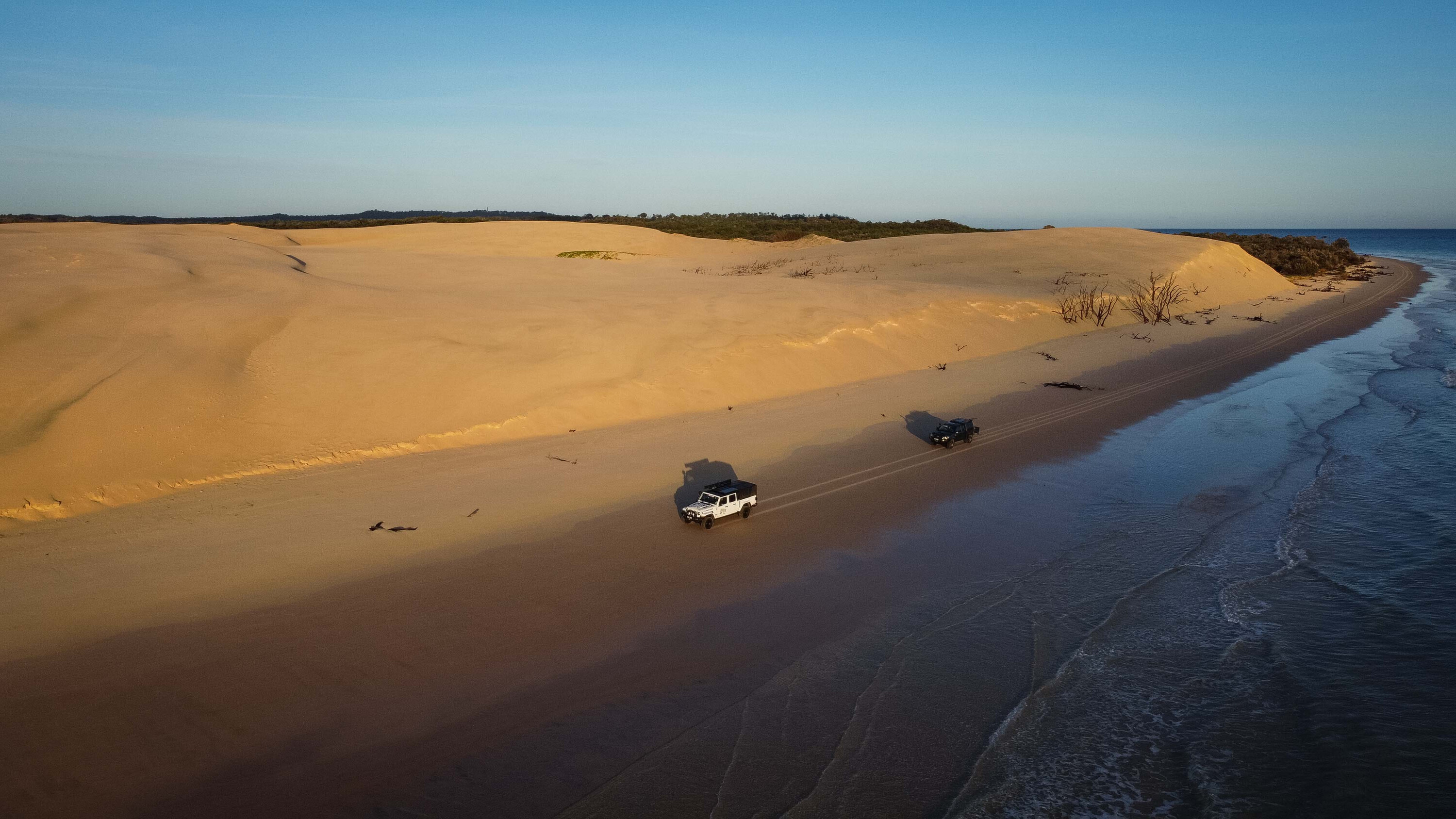
Further north along the east coast, as you round Indian Head, is Champagne Pools.
This series of natural rock pools provide a sheltered swimming area in the otherwise unforgiving ocean. When the tides are timed just right, the largest waves crash over the rocks into the swimming pools in spectacular fashion, creating plenty of foam and excitement for those swimming in relative safety.
For those in need of a serious 4×4 challenge, head to Ngkala Rocks, one of Australia’s most notorious 4×4 obstacles. K’gari is also famous for its superb fishing, especially along the eastern coastline directly into the South Pacific.
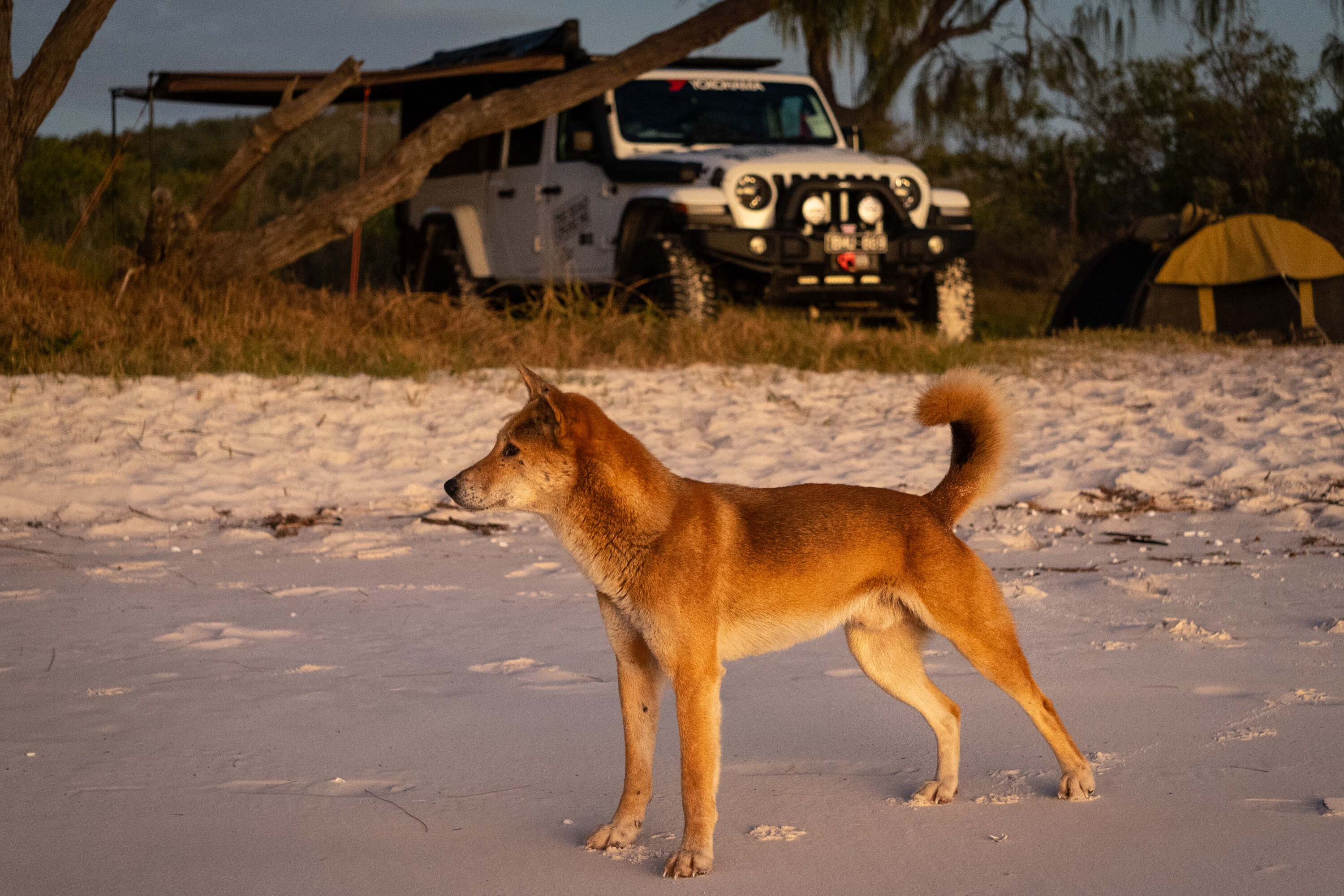
Don’t forget about the dingoes. They’re extremely common across the island, and sadly the 300 or so resident animals have become quite habituated to humans.
You’ll see them prowling the shoreline searching for any tasty morsel they come across. In the late afternoons and evenings they have learned that humans and campsites mean food, so they move up into the dunes where they inevitably come into close contact with people.
Attacks on adults are exceedingly rare, but dingoes have attacked and seriously injured children on more than a few occasions over the years.
4. CREB track, Cape York
Words and photos: Dan Grec
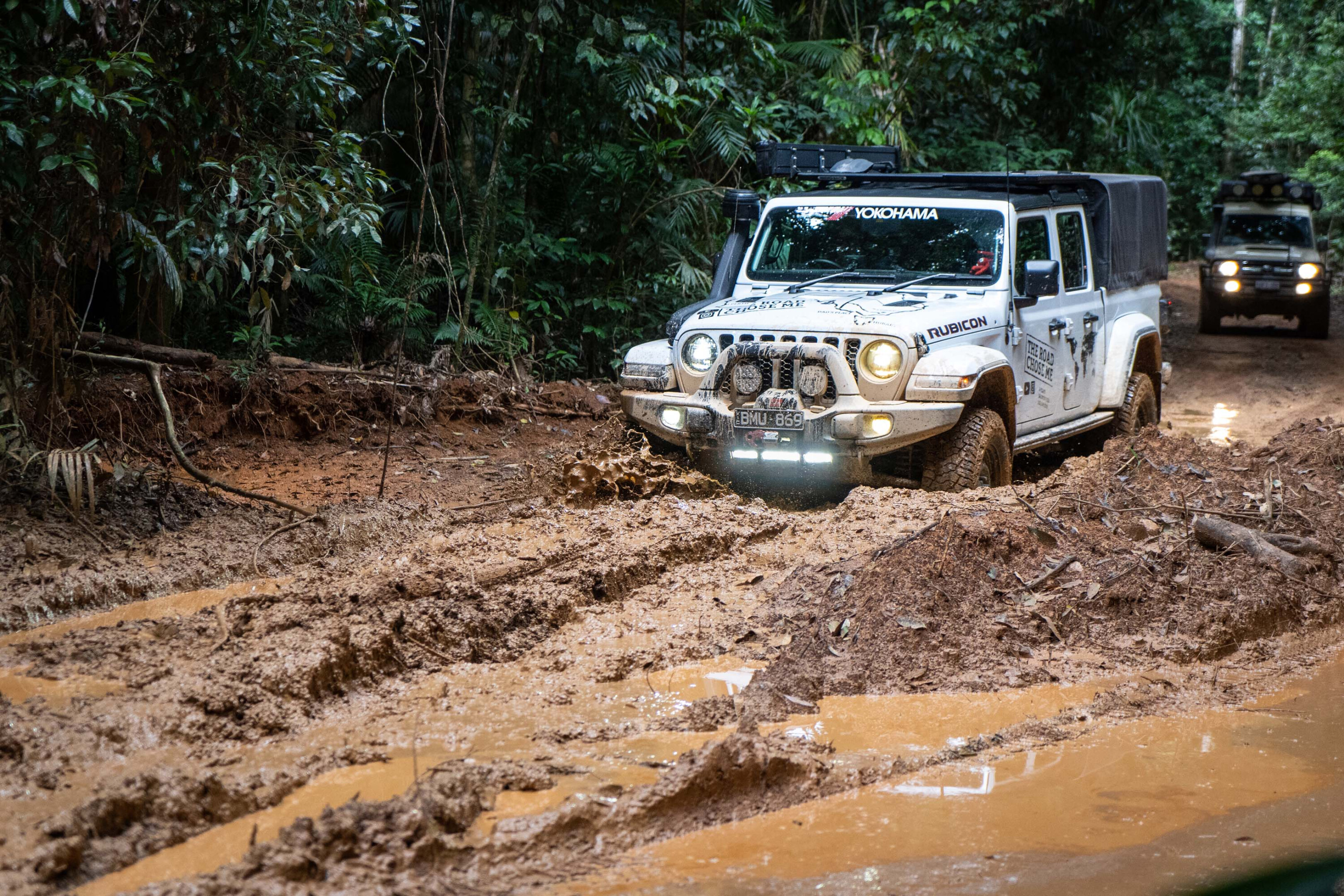
If beach driving doesn’t interest you, perhaps a trip along the famous CREB track in Cape York is on the cards.
Created as the service access track for the old Cairns Regional Electricity Board (CREB), the track mostly follows ancient aboriginal foot trails through dense rainforest.
As well as providing spectacular scenery, the CREB is notorious as one of Australia’s most challenging four-wheel drive adventures. With rain the track becomes extremely slippery and dangerous, and vehicles have been known to roll-over in the area.
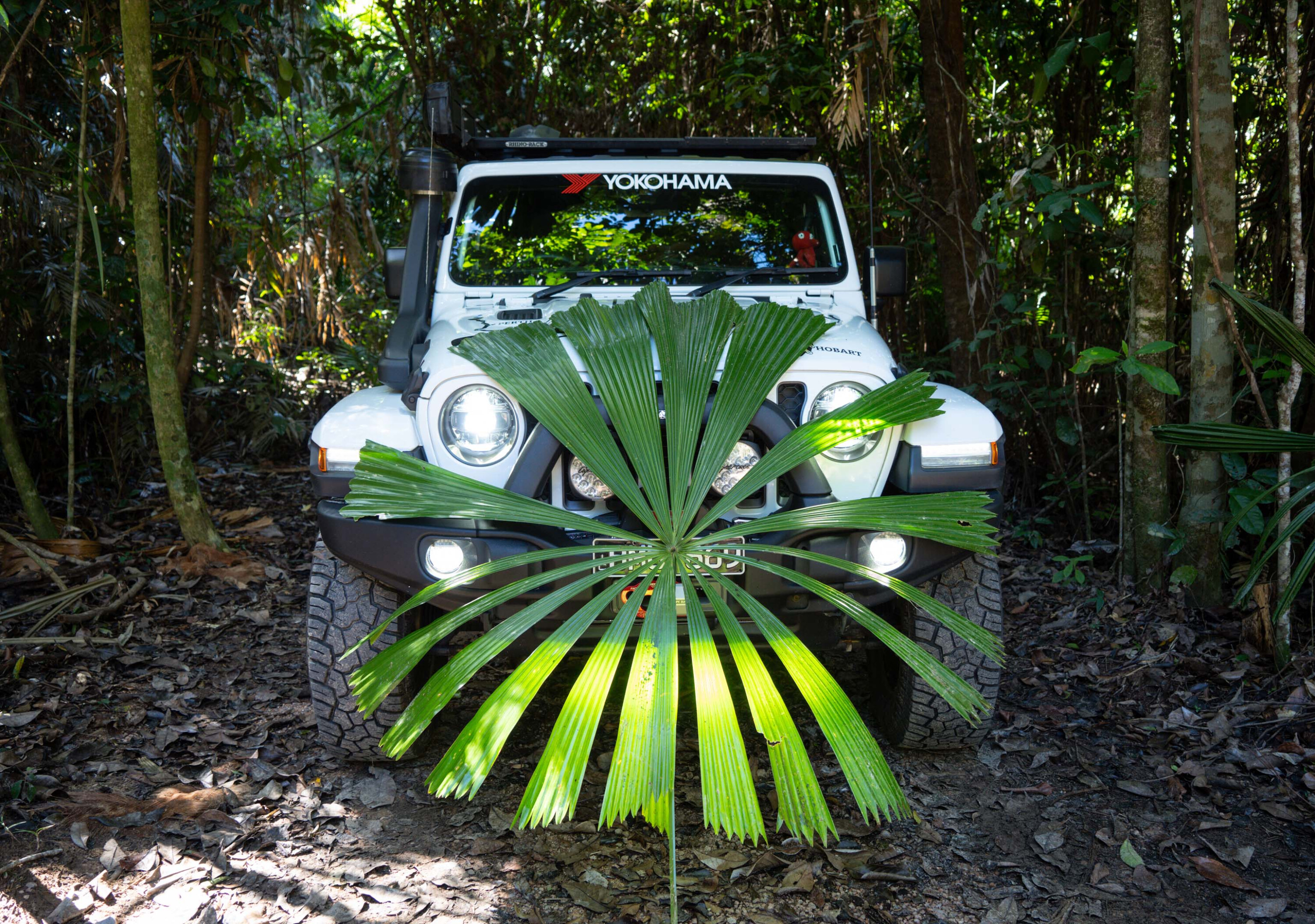
The track traverses spectacular World Heritage-listed rainforest as it weaves north from Daintree Village, up and over multiple peaks of the McDowall Range and back down past the Aboriginal community of Wujal Wujal. This track is not to be taken lightly.
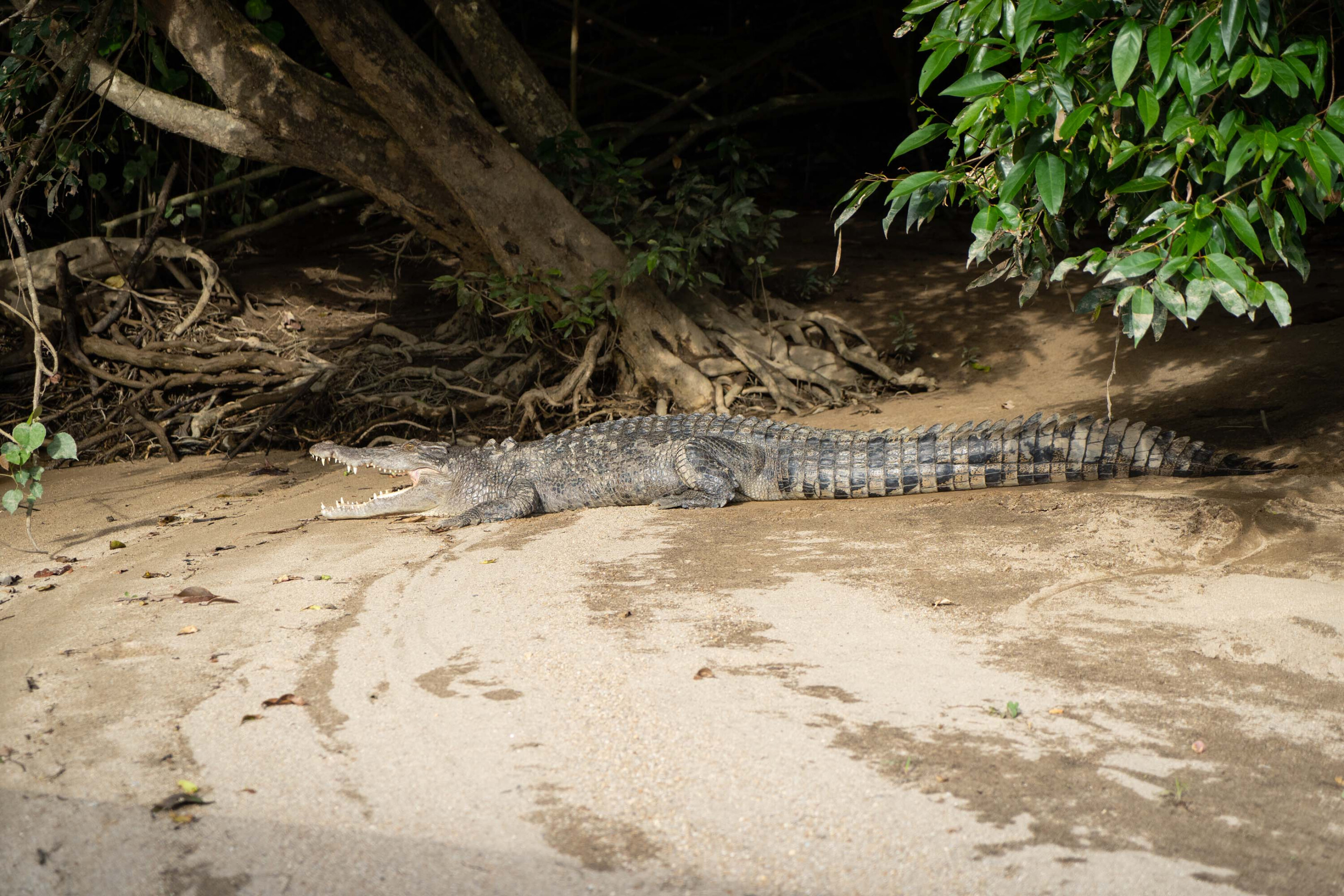
For 4×4 enthusiasts, crossing the Daintree River is an iconic challenge on the way to exploring Queensland’s ancient wilderness. A cautious approach is required due to the Daintree’s crocodile population. Once across, mud holes, washouts and soggy stretches will challenge 4×4 talent as the track begins to climb. The dense jungle will quickly close in as the track grows steeper and more challenging.
The CREB slices through Daintree National Park, which contains the oldest rainforest anywhere on earth. Because the rainforest here has existed continuously for more than 110 million years, many species of trees and plants are the ancient ancestors of more common species today.
This flora dates back roughly 30-50 million years and gives scientists a direct window into the past, and what the planet looked like long ago.
Elsewhere on earth these ancient plants and trees died out millions of years ago, and can only be studied as fossils. This park is made up of trees and plants that existed when dinosaurs roamed the earth, so is a literal Jurassic Park.
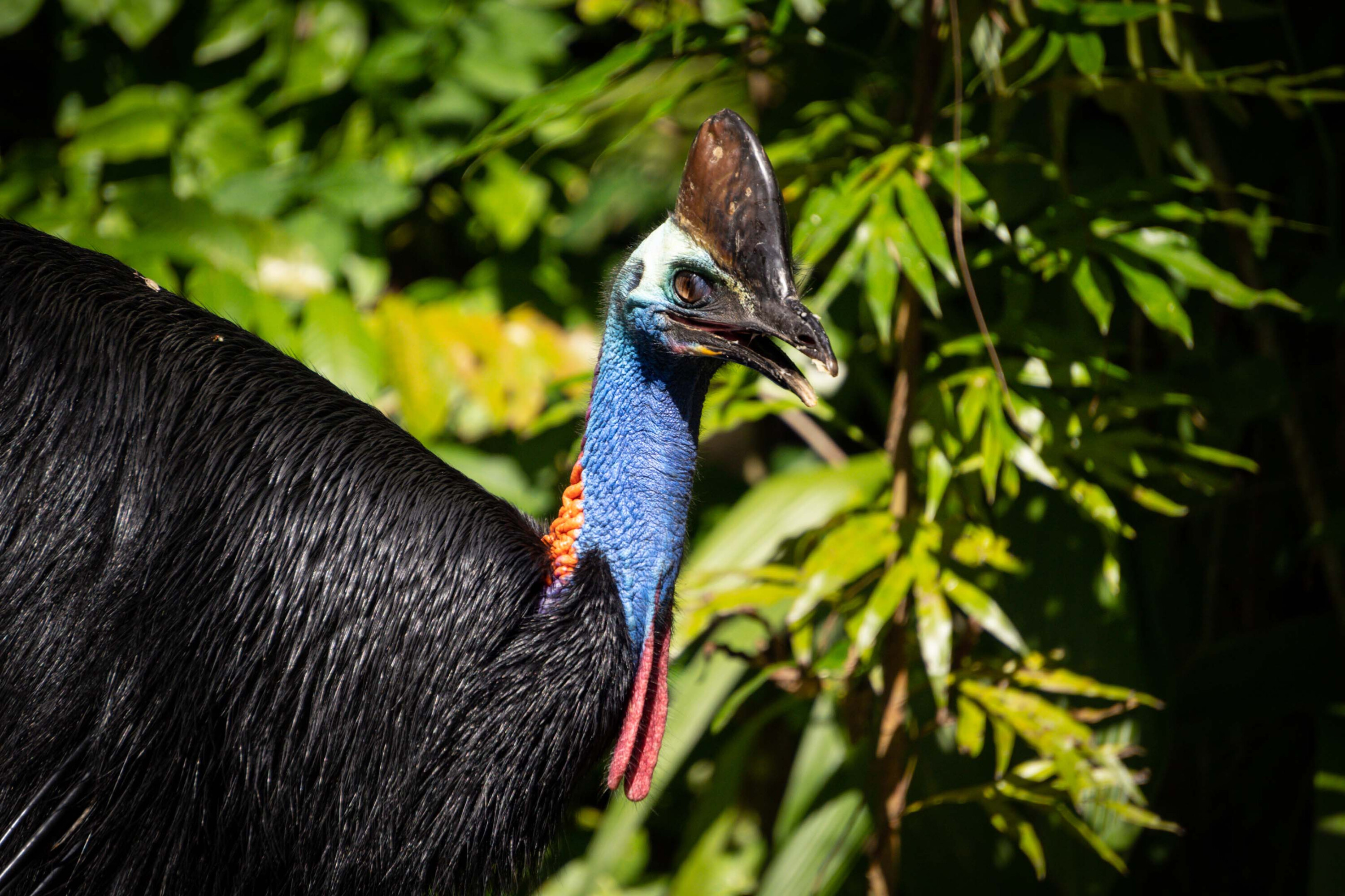
The Daintree is also home to thousands of animal species, including the majestic cassowary. Equally as flightless as emus but much more beautiful, cassowaries are typically wary of humans but can get very aggressive when provoked or while defending their young.
Their three-toed feet have large claws that resemble a velociraptor, making you think you might actually see a dinosaur wander by.
Cassowaries have on occasion killed people, leading to the label of ‘world’s most dangerous bird’.
The entire region has enormous cultural and spiritual significance to the local Aboriginal people, and in a historic deal made by the government of Queensland, the eastern Kuku Yalanji people took formal ownership of Daintree National Park in 2021.
Oh, and of course, watch out for crocodiles!
5. Expedition National Park
Words and photos: Kev Smith
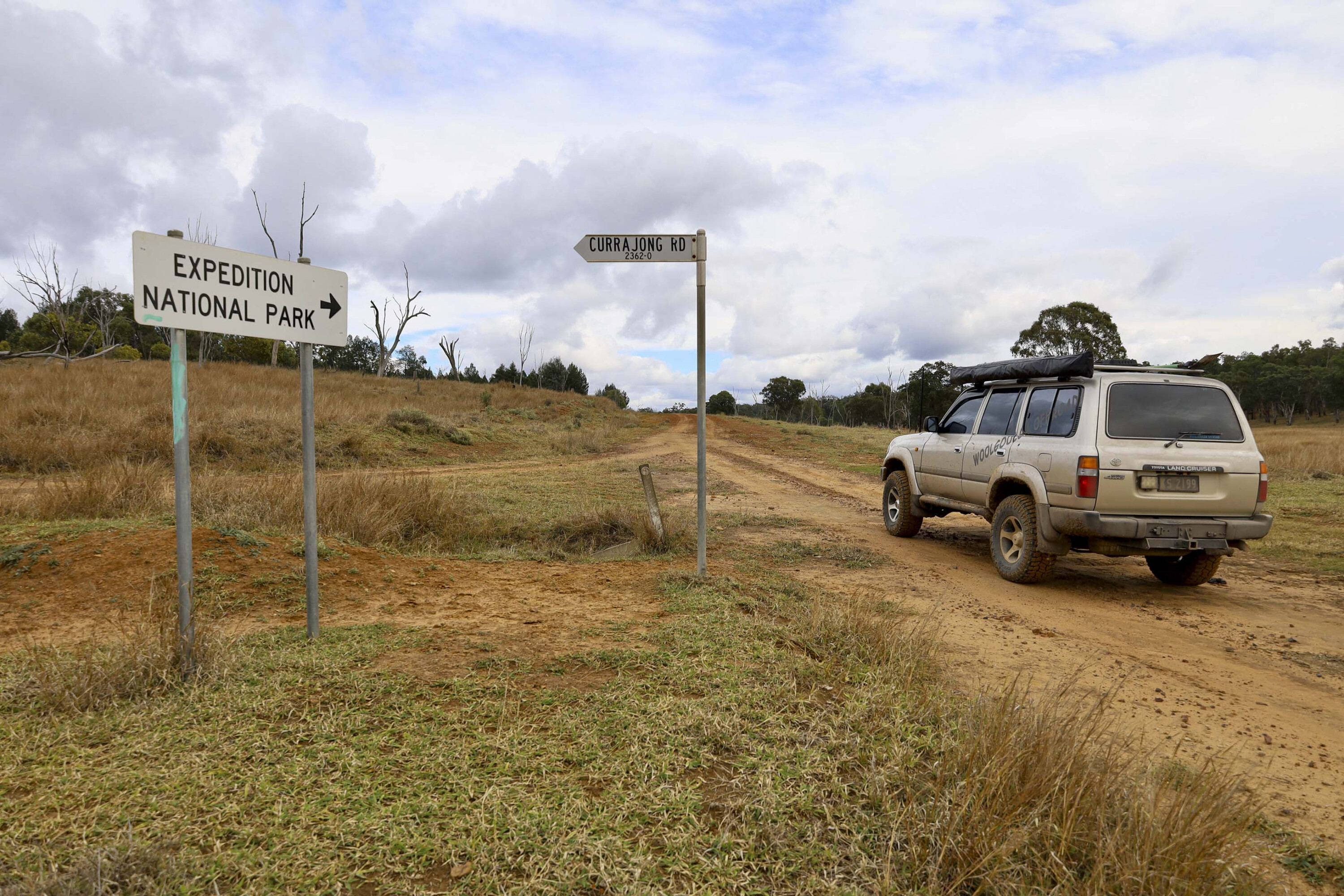
For something left of centre, a trip to this hidden paradise is well recommended. Located 500km northwest of Brisbane, Expedition National Park is a hidden gem in Central Queensland’s sandstone country.
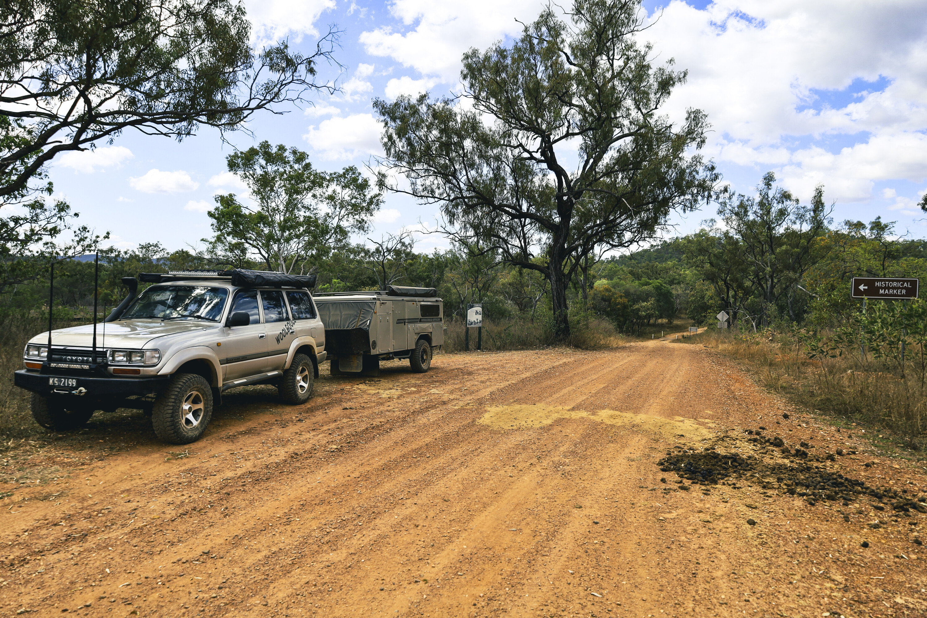
Spanning just over 1000km², the park offers a remote wilderness experience, with rugged 4×4 tracks, tranquil gorges and waterholes, making it an ideal destination for off-road enthusiasts. While some sections are accessible by 2WD, a 4×4 vehicle is highly recommended to fully explore the park’s stunning landscapes and remote corners. Visitors should be self-sufficient, as the park is isolated with limited facilities.
The park’s highlights include several campgrounds, such as Starkvale, accessible only by 4×4, which has toilets, firepits and non-potable water.
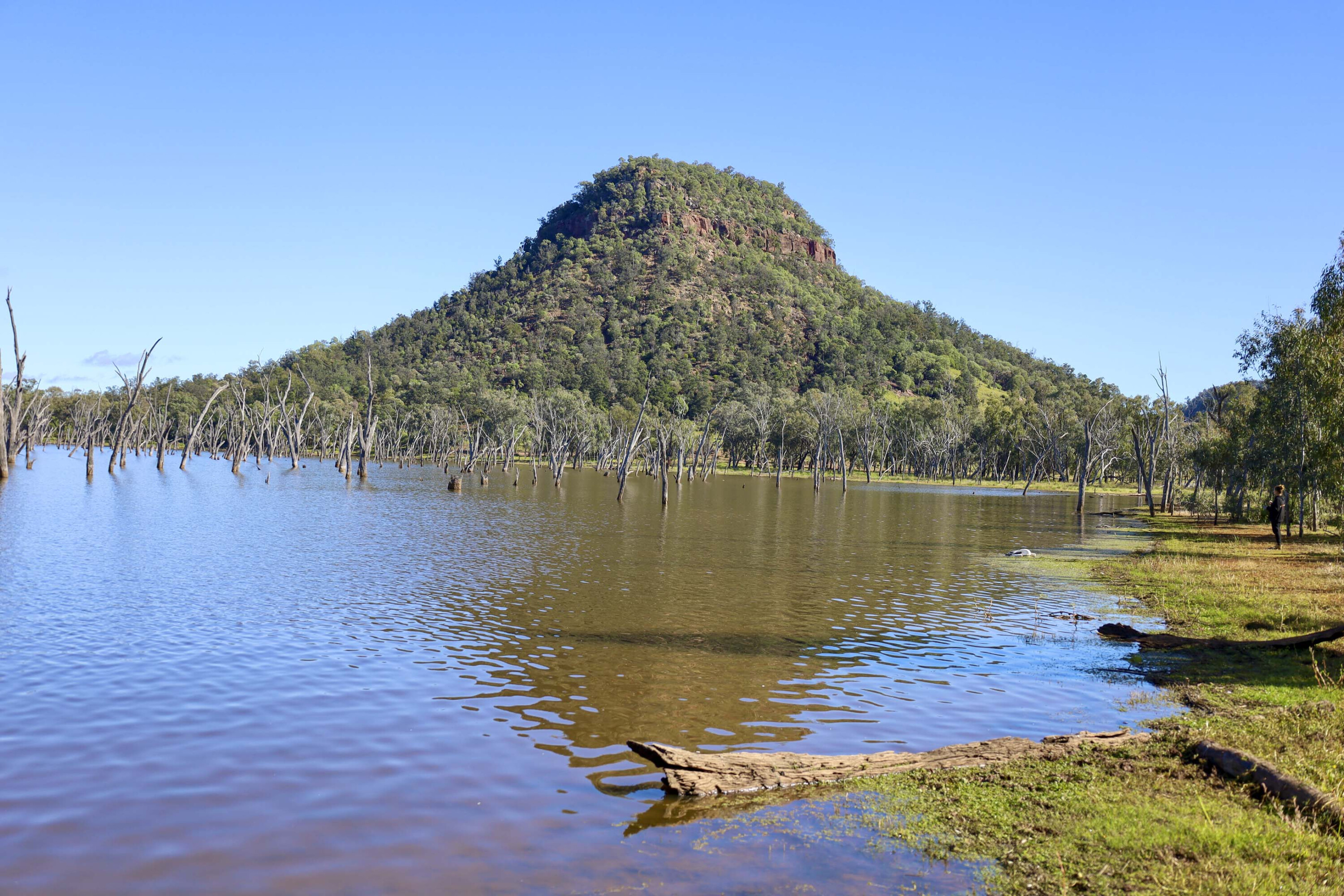
For more secluded camping, Beilba and Lonesome Bush Camp are excellent options, with the latter offering a peaceful, unserviced camp with breathtaking views of the Dawson River. Bookings are essential for all campsites, especially during peak seasons.
Taroom, 380km north of Brisbane, serves as the gateway to Expedition NP. This small town offers a variety of local attractions, including Chain Lagoons, Lake Murphy Conservation Park, and fishing at Dawson River. Taroom is also home to historical landmarks, such as the Leichhardt Tree, marked by the 1844 explorer, Ludwig Leichhardt.
Access to Expedition NP is via several roads, though rain can close some tracks. The main entry into the park leads to Robinson Gorge, where visitors can explore deep gorges, striking sandstone cliffs and palm-lined rivers. For those with 4×4 capability, the track to Starkvale Creek offers a rewarding experience, passing through remote cattle stations and historical cattle yards.
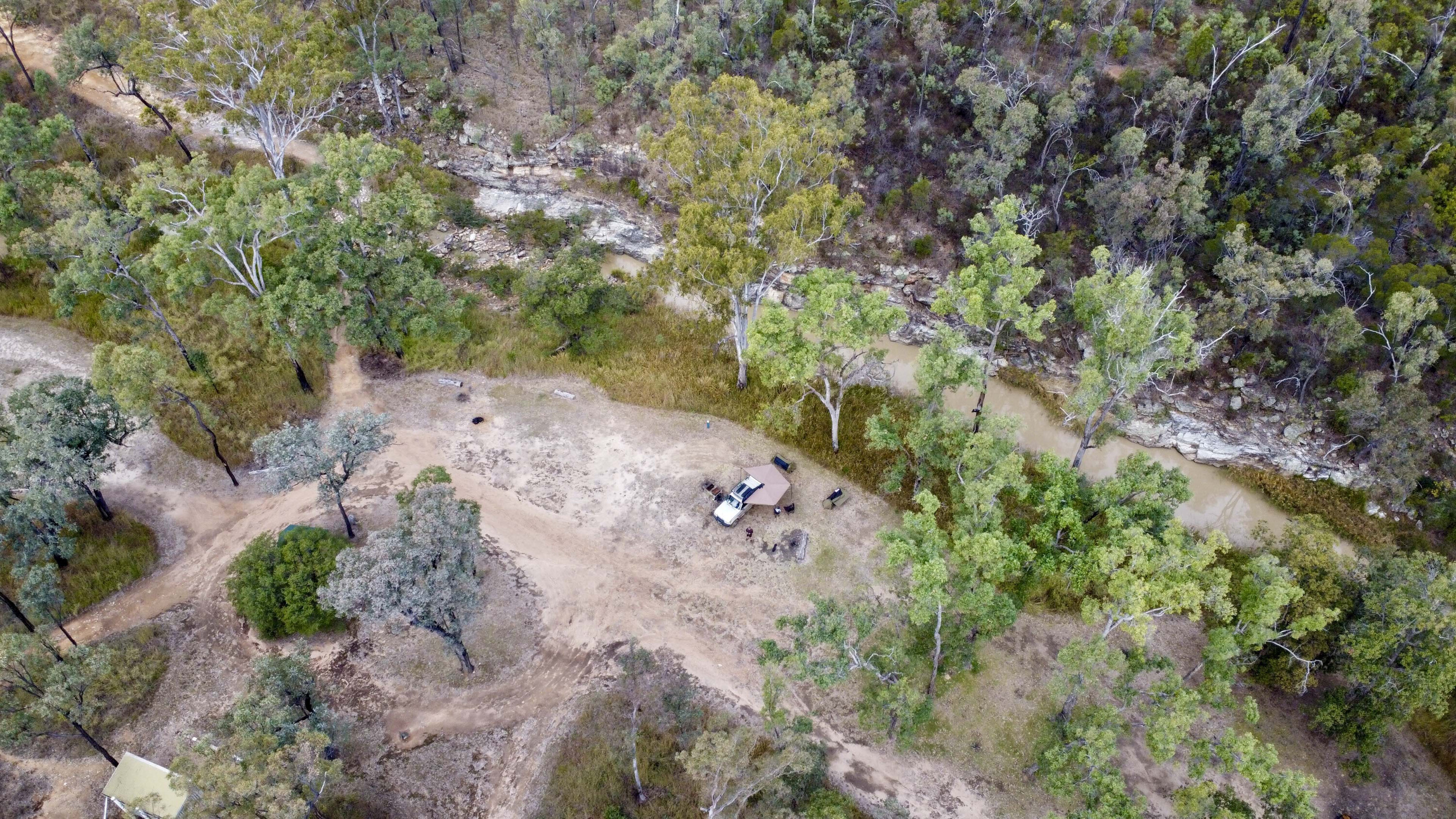
Once at Starkvale, the campsite beside the creek is pristine, with clean facilities and a tranquil atmosphere.
From here, a 4×4 track leads to Cattle Dip Gorge, where sweeping views of the water-filled rock pools can be enjoyed. Hiking trails, such as the Robinson Gorge Lookout and Shepherds Peak Track, offer spectacular views and the opportunity to immerse in the park’s wild beauty.
The area is part of the Sandstone Belt, stretching over 82,000km² across Central Queensland. The landscape is shaped by millions of years of geological history, with layers of ancient sand worn away to reveal dramatic rock formations. The park conserves a variety of plant communities and protects vulnerable species, including several animals listed as endangered.
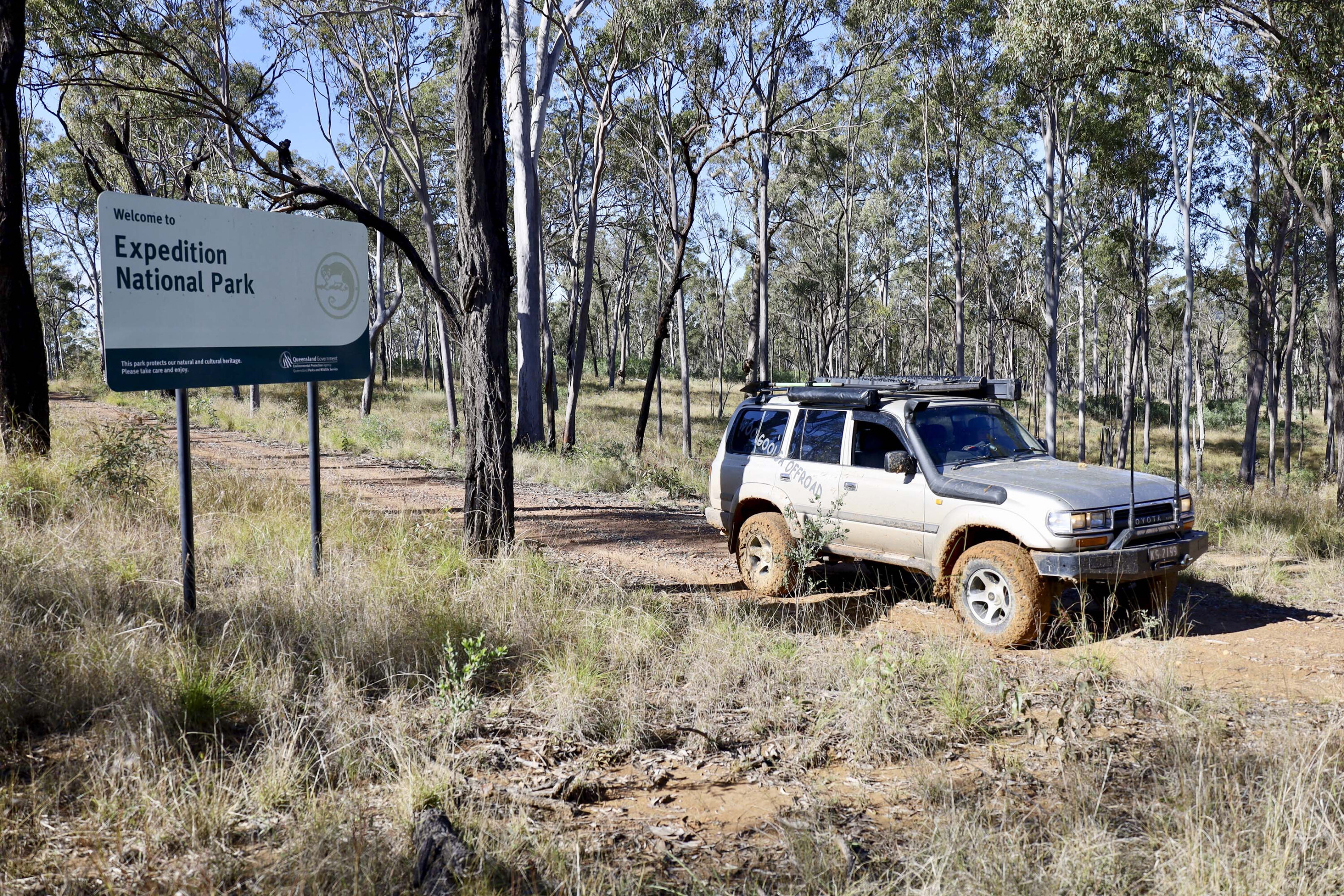
In the late 1800s, the land was used as a sheep station, and remnants of old shepherd huts can still be found scattered throughout the park.
The nearby Robinson Gorge Track is a low-range 4×4 route that traverses creek crossings, rutted roads and steep climbs. Oil Bore Road then heads towards Lake Nuga Nuga, a large natural waterbody in the Arcadia Valley. The lake is a haven for birdlife and offers bush camping by its shores, with stunning views of Mount Warrinilla.
The Lonesome Bush Camp, located high above the Dawson River, is accessible by Arcadia Valley Road and offers a tranquil setting, perfect for unwinding.
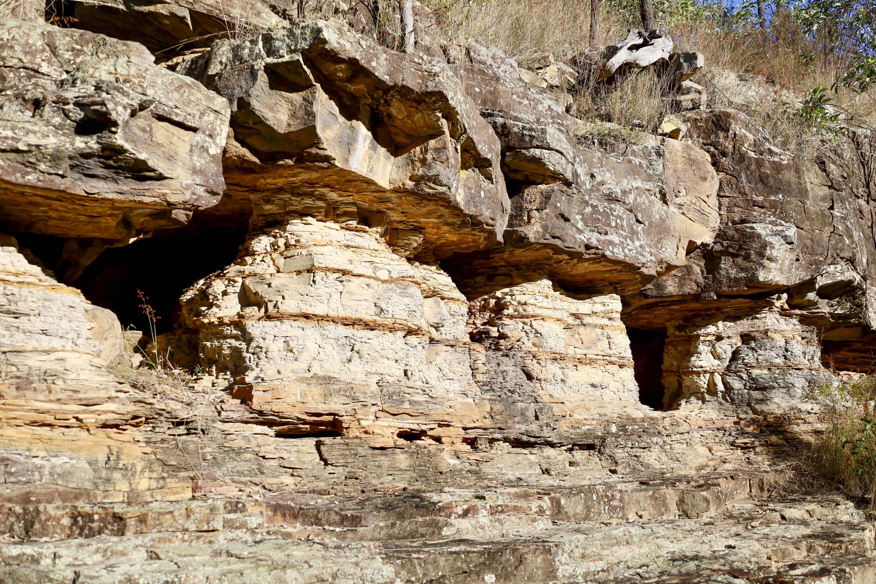
From here, the Mount Jiman Loop passes dramatic rock formations and vivid earth-coloured cliffs.
The drive to Karingbal Pass is another highlight, with steep, rugged tracks leading to spectacular views across the valley and surrounding sandstone cliffs. The area is known for its ancient bottle trees and cycads, adding to the region’s unique natural beauty.
While Carnarvon Gorge often steals the spotlight in the region, Expedition NP is a rewarding alternative for those seeking adventure, history and stunning landscapes. Whether hiking, camping, or tackling challenging 4×4 tracks, this remote park offers an unforgettable experience in one of Queensland’s most ancient and unspoiled regions.

