Explore NT
Gallery 43
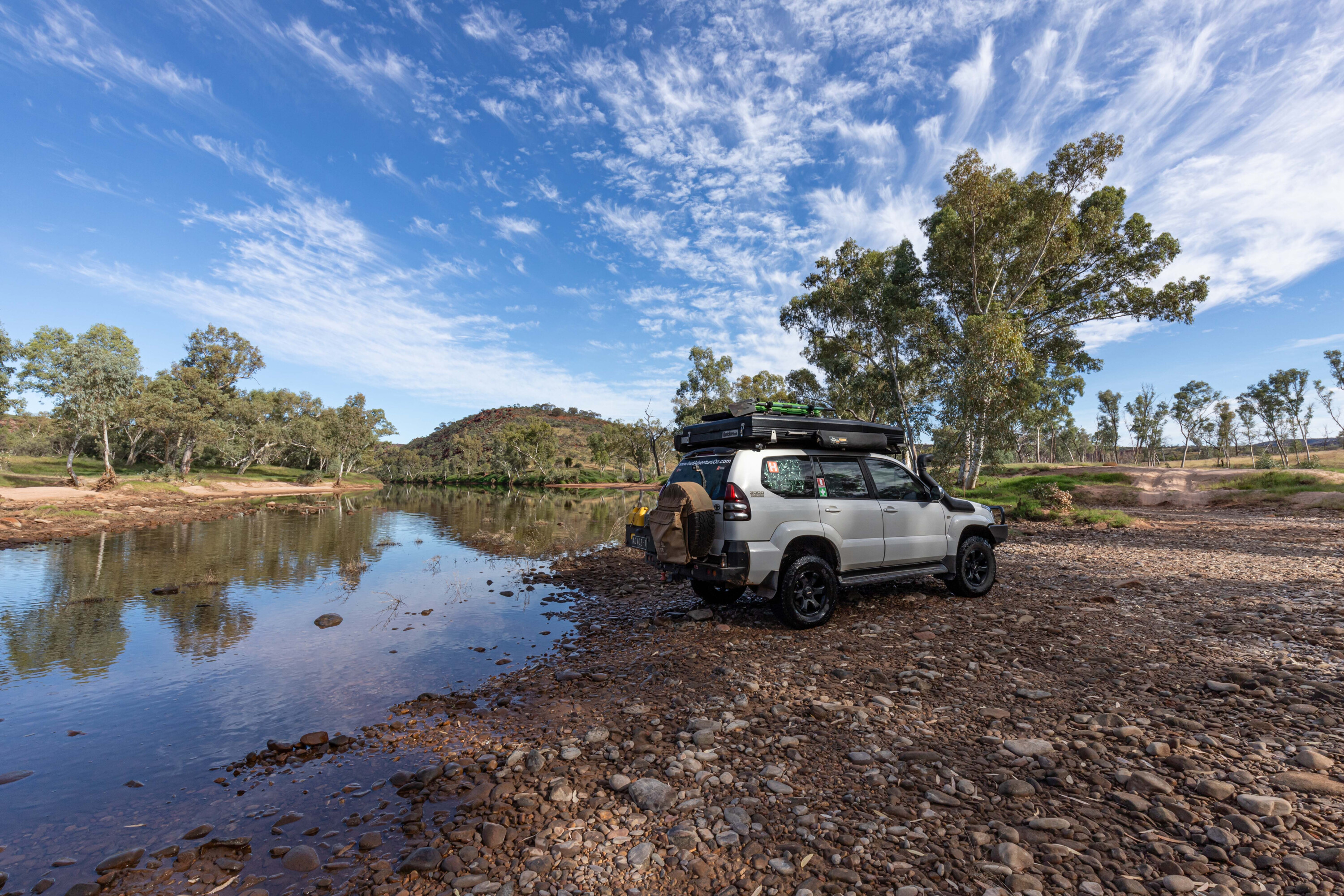
I left Katherine with the fuel tanks, fridge and pantry full, and headed 50km south before turning onto Central Arnhem Road.
I was surprised that the bitumen continued past the Maranboy Police Station, the community at Barunga and then Beswick, a distance of 66km before becoming a red dirt road.
At Beswick, you will find Djilpin Arts where you can meet the local artists and learn about the traditional life and culture of the Bagala People of the Jawoyn Nation, and you can stay here in one of the award-winning elevated Pavilion rooms and experience seasonal cultural events, tours and immersions.
43
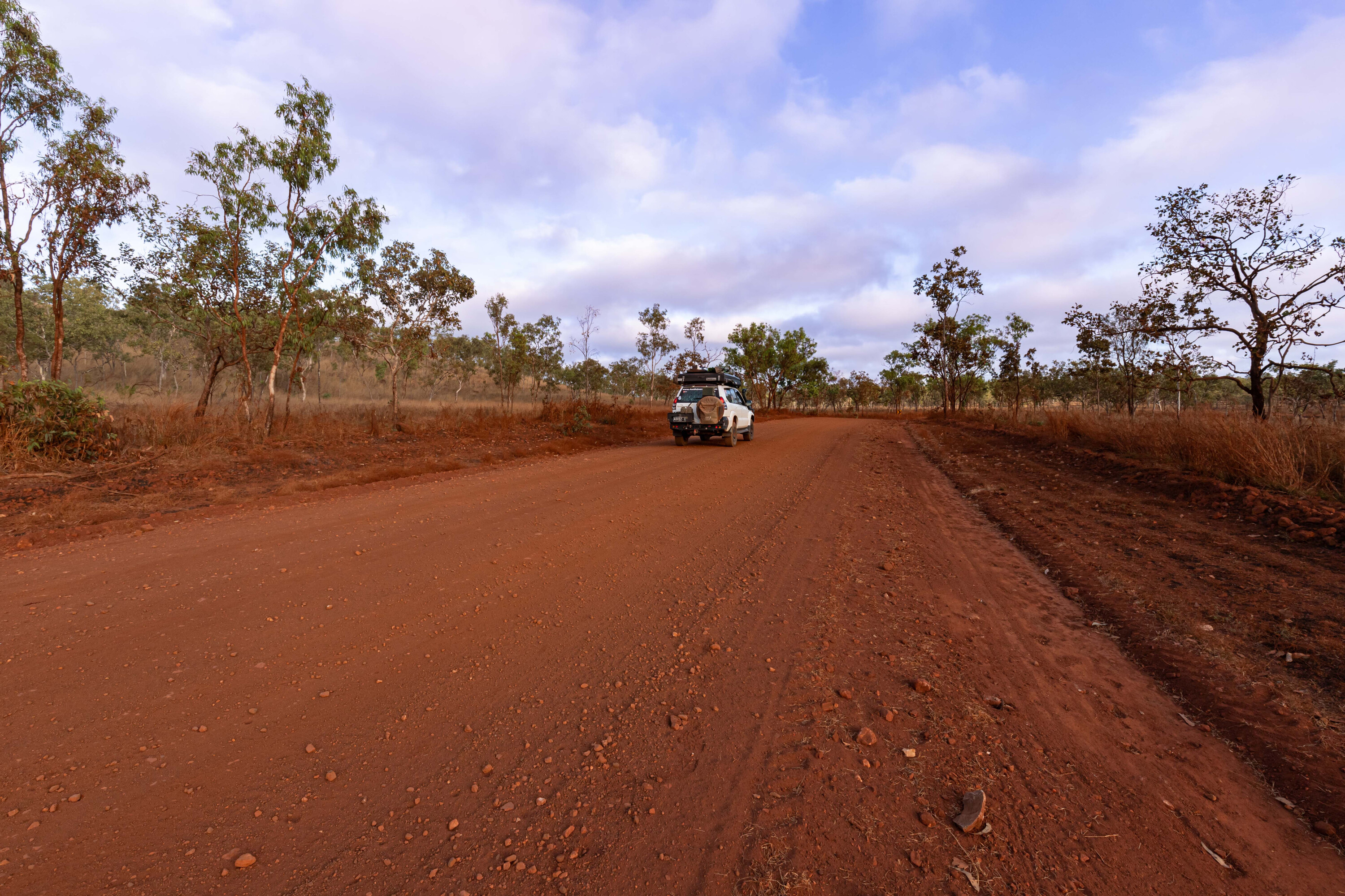
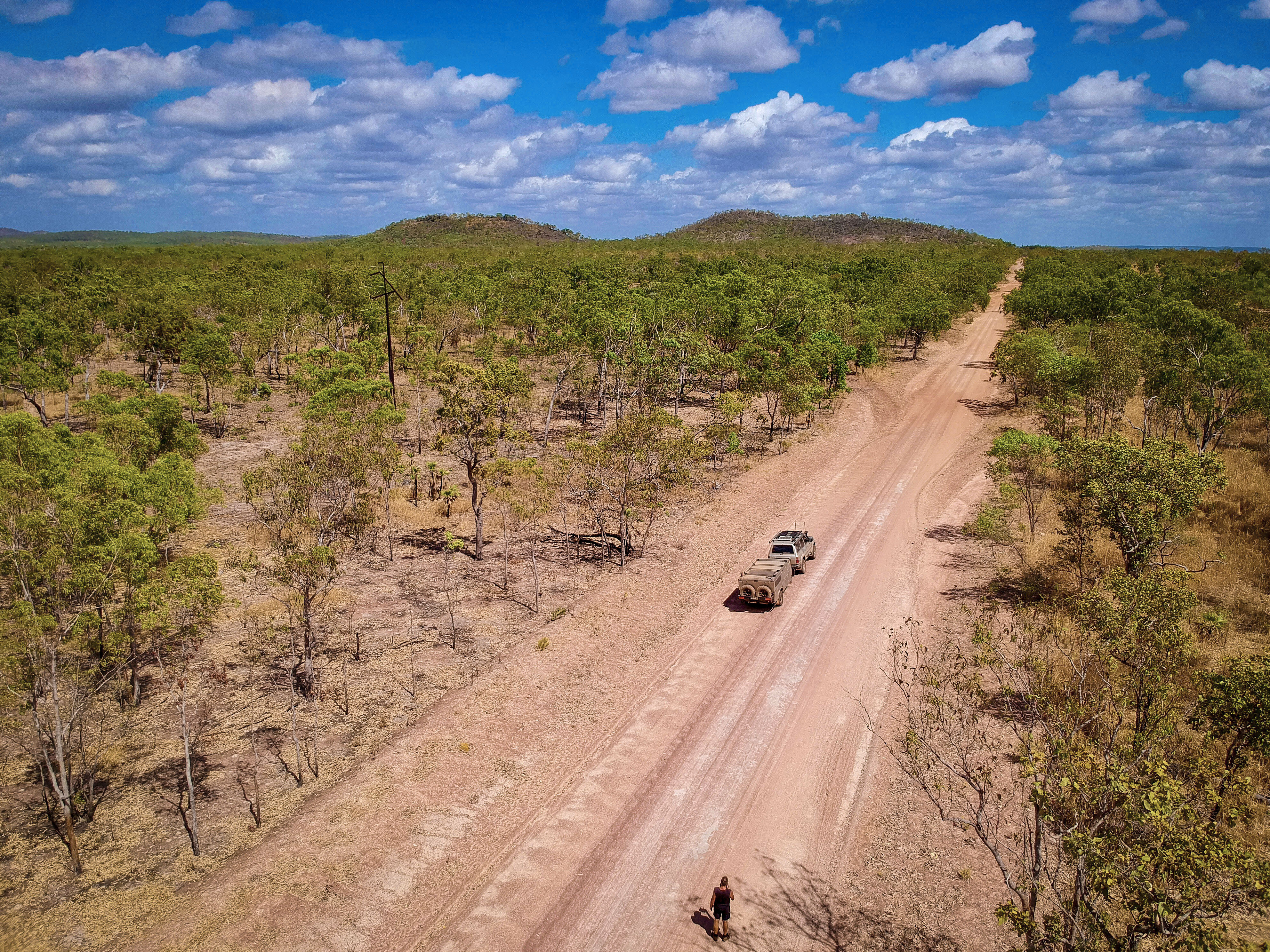
I stopped to air down my tyres just before the dirt road section started, reset the TPMS, and continued along Central Arnhem Road.
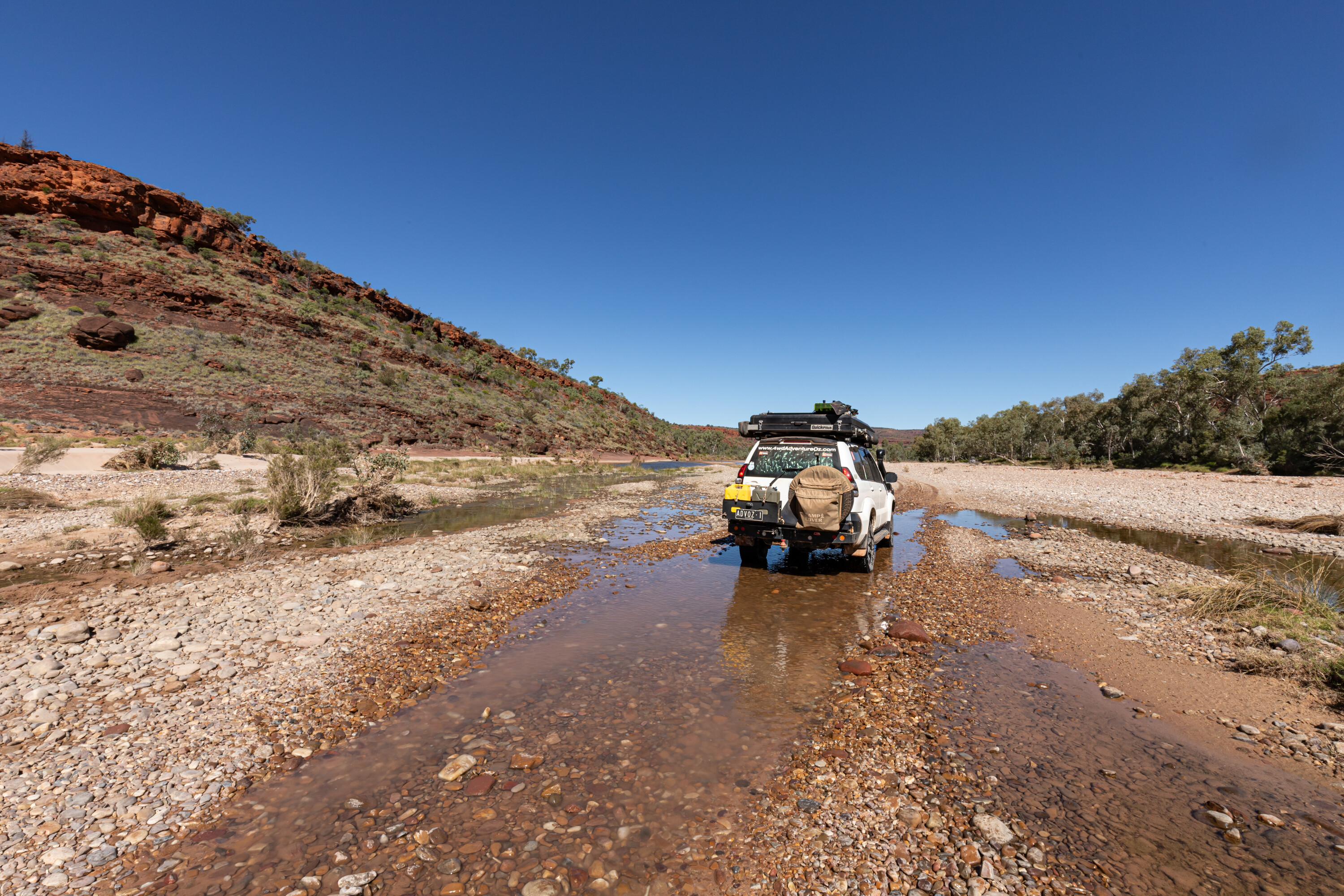
The scenery here is spectacular with tall bluffs rising above the plains, although the road was dusty and badly corrugated. Reducing the tyre pressure and speed is critical on this road, especially on the tight bends where the rear end of your vehicle wants to overtake you.
The slow-burn scrub fires that are managed in the Territory allow you to see the layout of the land that would otherwise be hidden by the tall grasses. I came across a sign that read ‘Grader Ahead’ and where the work had been completed the going was smooth… and for a good distance.
43
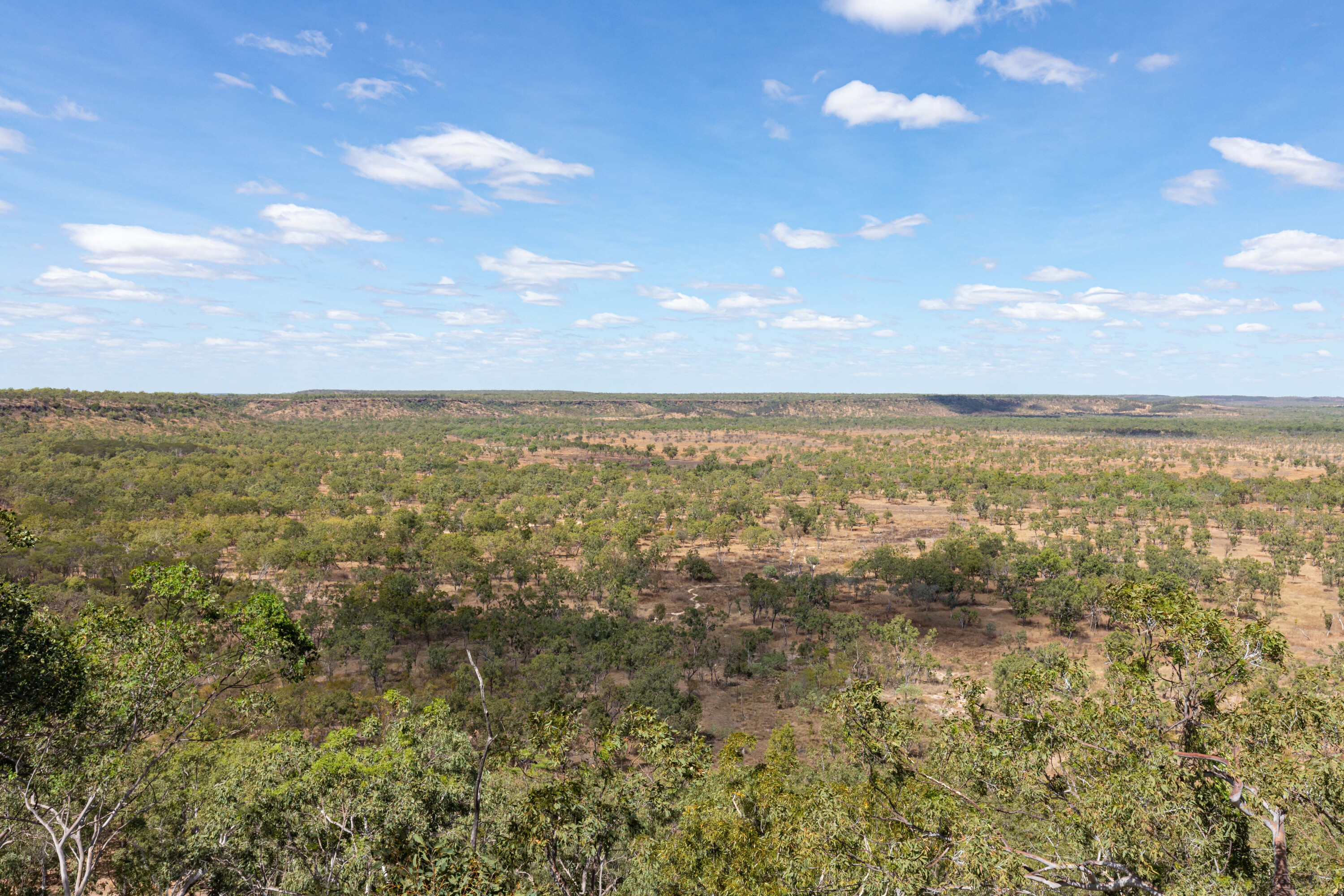
Around 52km along the dirt is the spectacular ‘Jurassic Park’ lookout. There is a carpark off the road and from the top of the escarpment the view across the valley has an uncanny resemblance to scenes from the Jurassic Park movie.
Watch out for the skittish donkeys in the scrub after the turnoff to Mainoru Station and keep an eye out for the yellow flowers of the kapok tree which are used as a calendar by the Aboriginal people to judge the laying and hatching of saltwater crocodile eggs.
Mainoru Store is a common stopover for adventurers driving out to Gove Peninsula and back, as it is still a long drive to Katherine or any of the designated campsites on Central Arnhem Road. Anthony and Kate manage the Mainoru Store, where you can fuel up if necessary and enjoy beautiful grass campsites.
43
As well as a safe swimming hole, there are facilities here including toilets and hot showers. It’s advisable to call ahead a day prior to order evening meals, and I guarantee you won’t be disappointed.
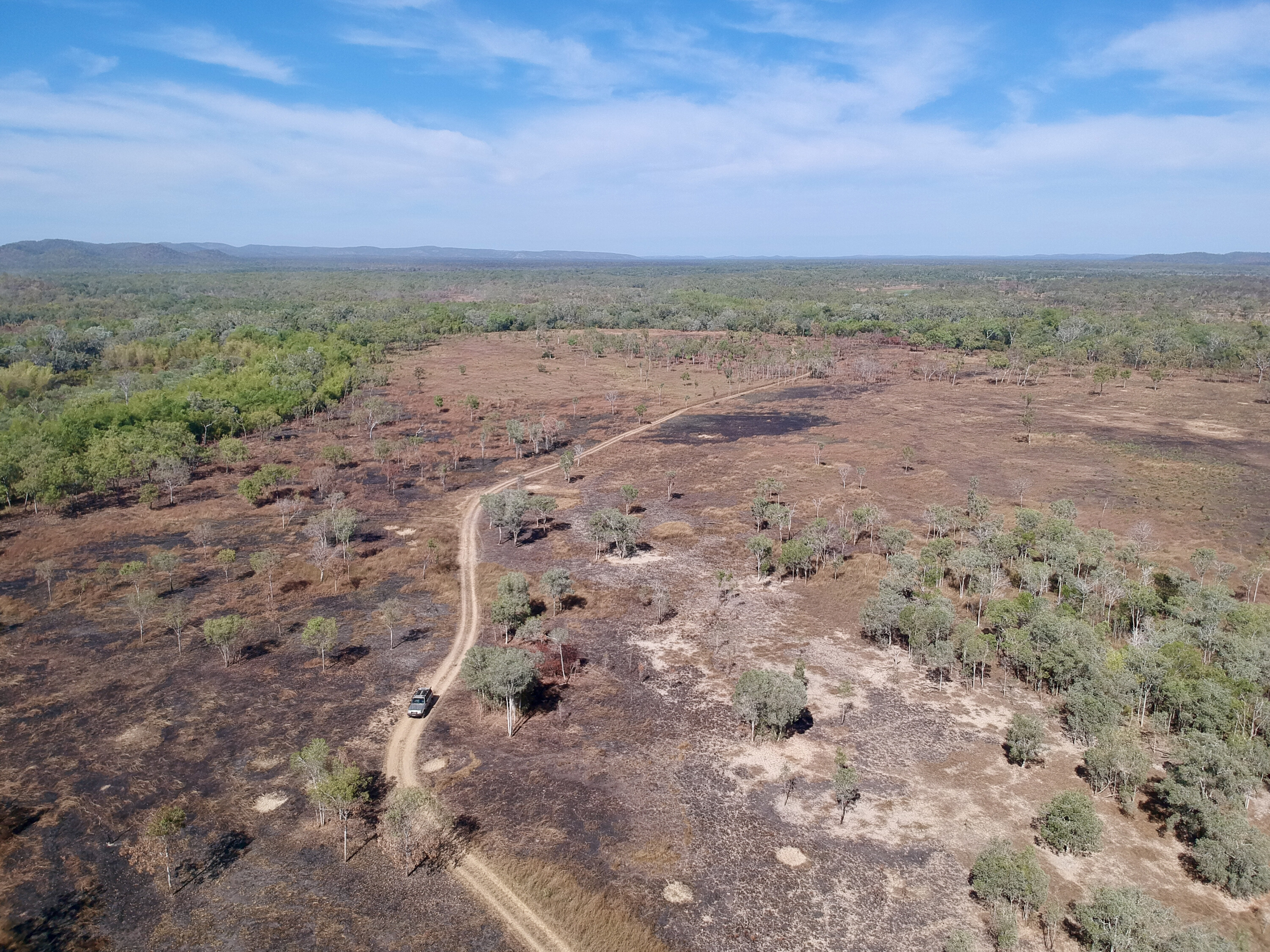
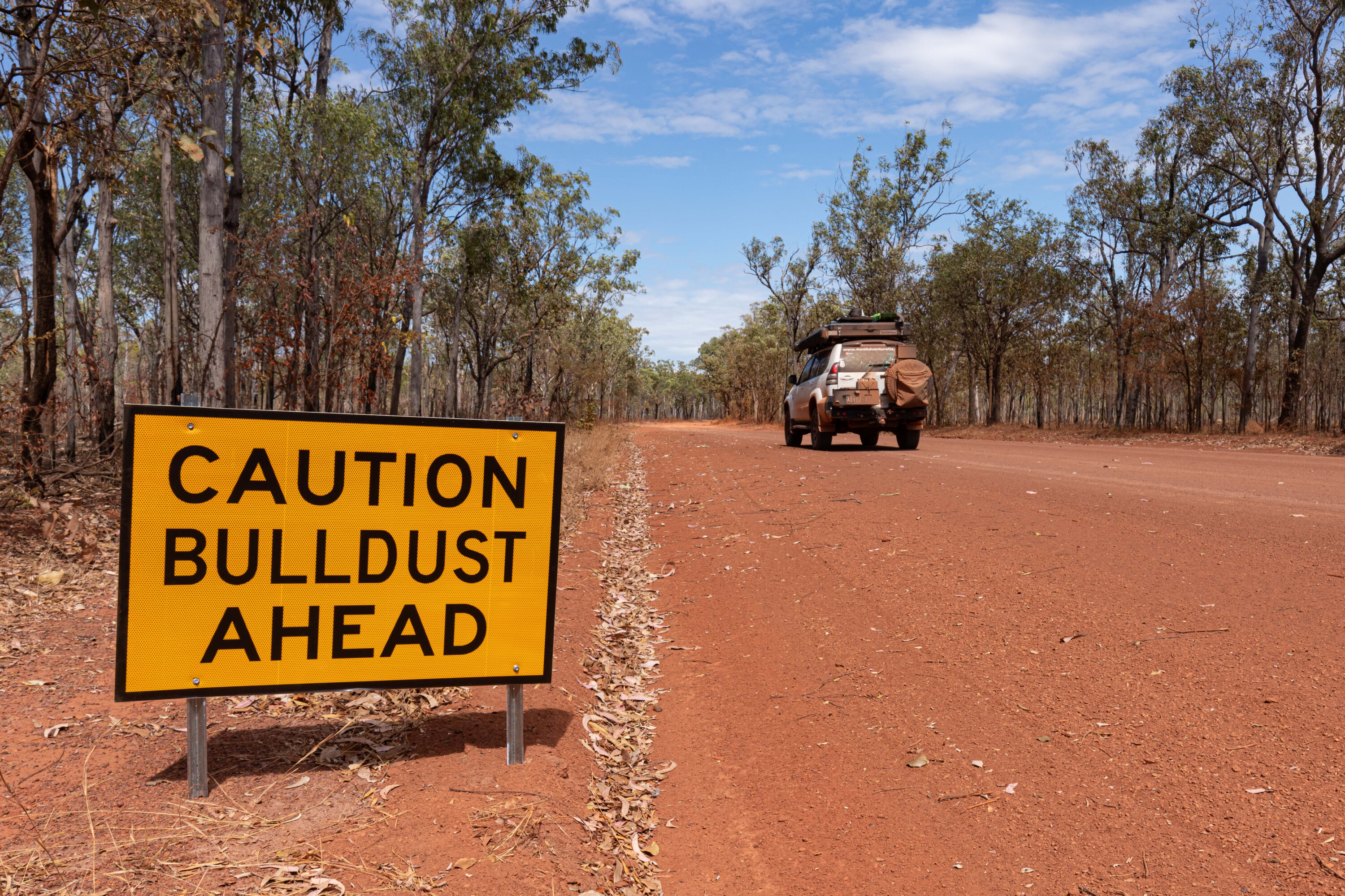
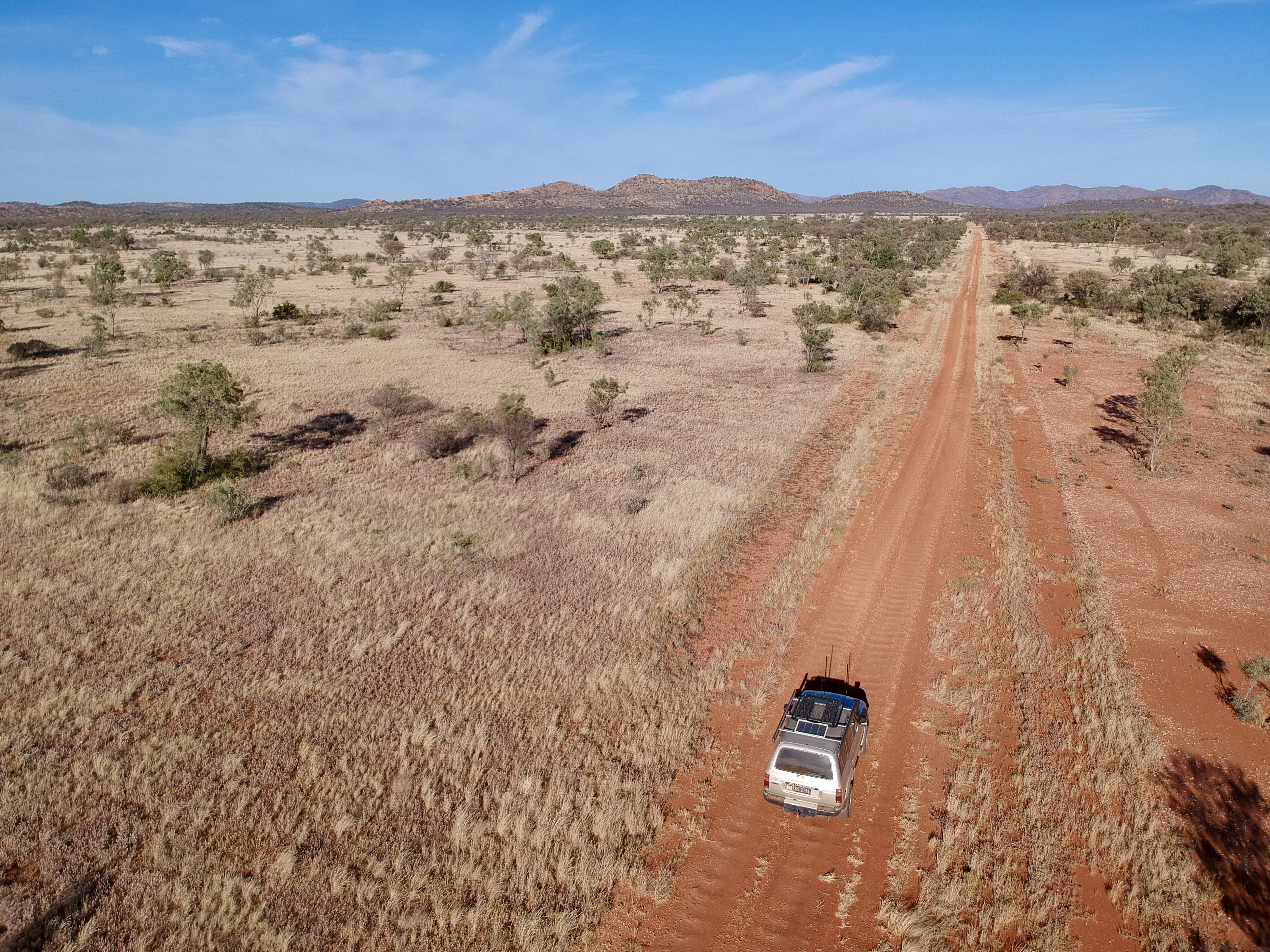
Day two was going to be a long drive, so I left Mainoru Store as the sun was rising. The road was in great condition but just east of Mount Stretton there were some long stretches of bulldust for about four or five kilometres, improving further east towards Nhulunbuy.
There was some wildlife about including cattle, buffalo, donkeys and even a dingo but the road was in good condition, especially compared to the Savannah Way up through Hells Gate, Borroloola and Limmen National Park that I had recently driven.
43
I wondered if this was because most people who drive this road understand that reducing tyre pressures reduces corrugations, and because fewer caravans are towed along this road.
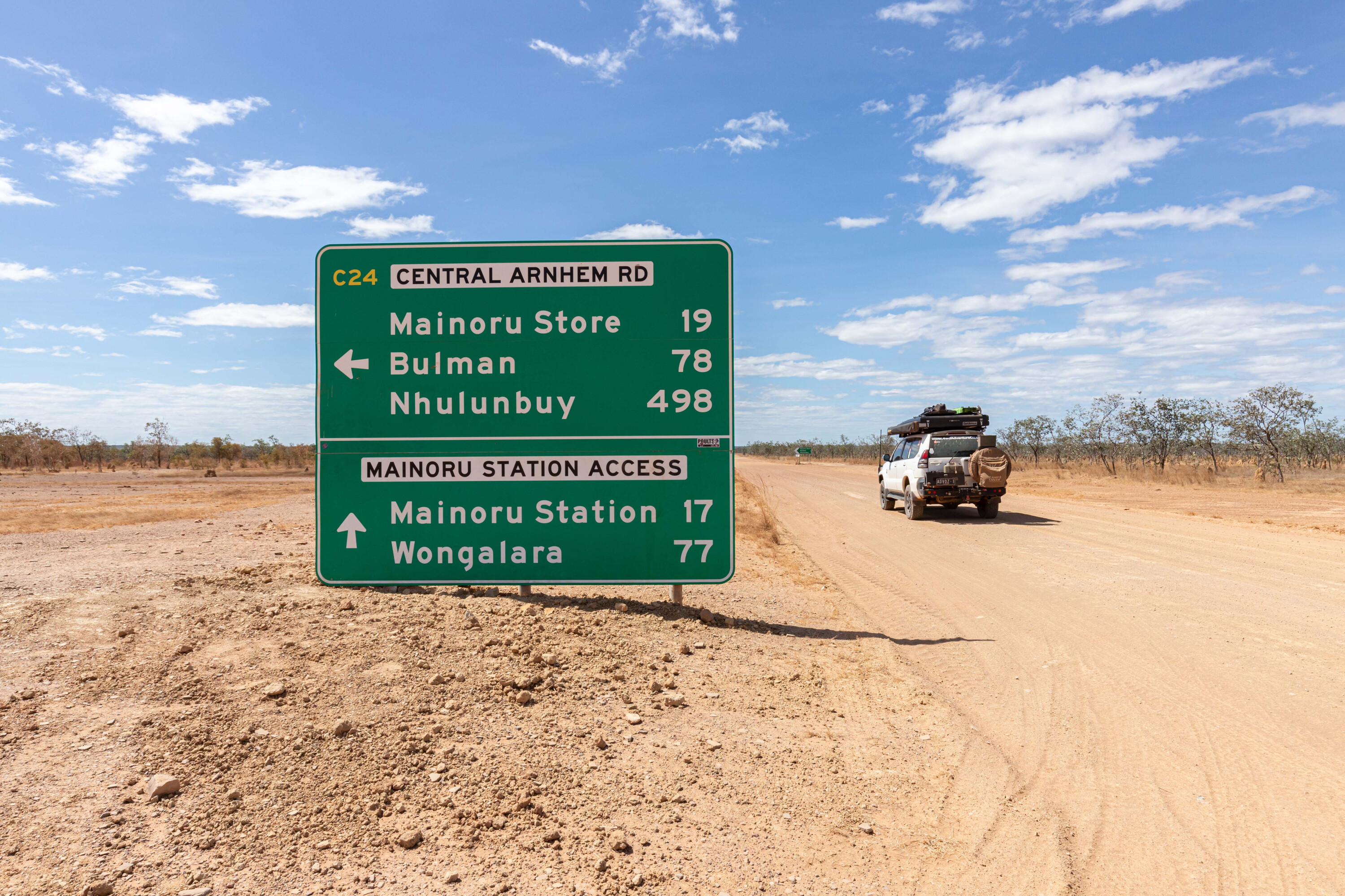
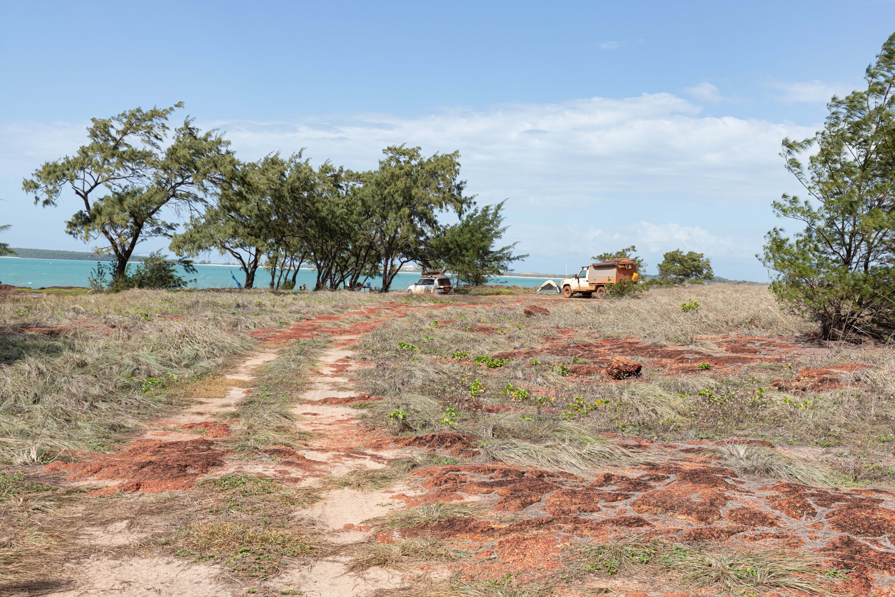
The Giddy River turnoff is signposted Guwatjurumurru, and if you’re not looking for it, it is easy to miss. As with all camping areas on the Gove Peninsula, you need a prepaid Visitor Access Permit and a Camping Permit from the Dhimurru Aboriginal Corporation.
If you decide to stay here, I highly recommend Campsite 2 as there is a stunning waterfall a short walk away. Don’t be tempted to take a dip though as saltwater crocs haunt this area.
43
That night the sound of the waterfall lulled me to sleep, and I had no need to get up early as it is only 50km to Nhulunbuy, so I took my time in the morning and enjoyed breakfast while watching the water cascading over the rock face before packing down the rooftop tent and hitting the road.
At the T-junction and the end of the Central Arnhem Road I turned left onto Dhupuma Road. There is a bauxite mine to the right, so the road opens right up and is well-maintained with water trucks keeping the dust down, but as a result your vehicle will end up covered in a fine mist of burnt orange mud.
There are a lot of mining vehicles along this stretch, so take care; the trucks will often let you pass as their speed is restricted. The dirt ends just near the airport and then it is bitumen the rest of the way.
43
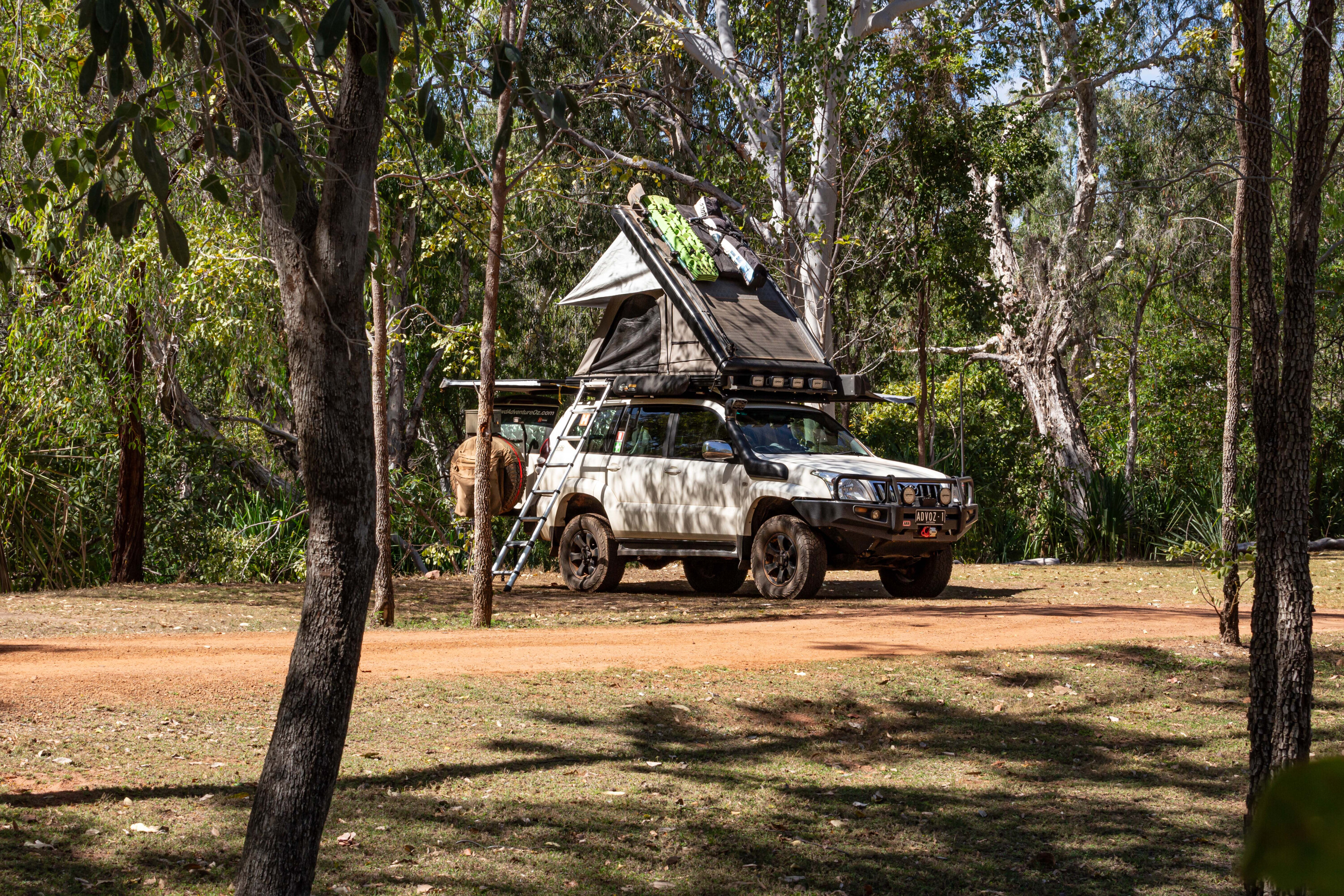
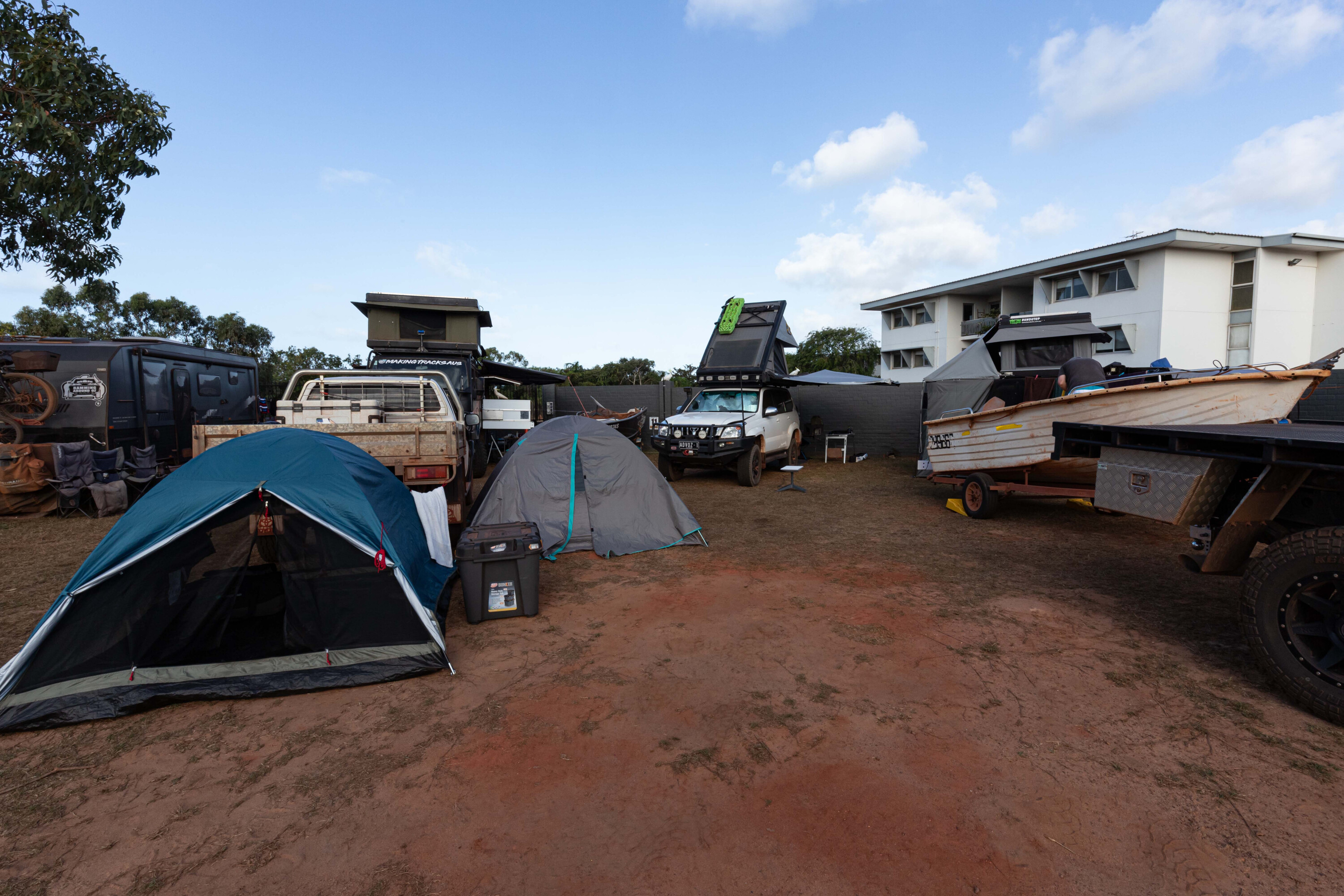
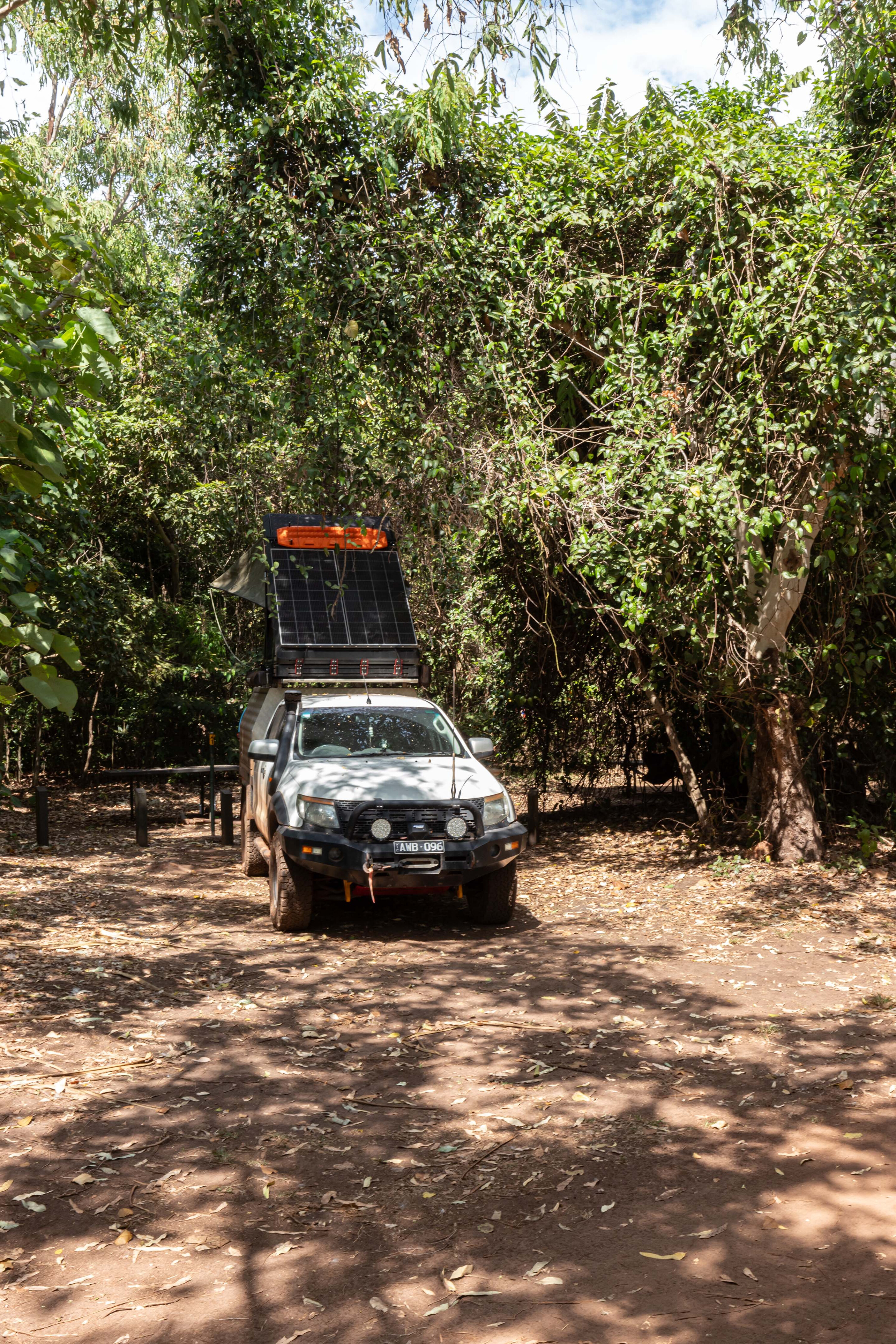
On arriving in Nhulunbuy, I checked into the Walkabout Lodge & Tavern where I’d booked a powered campsite 12 months prior.
The number of powered sites is limited and as it was, guests were packed in like sardines. Thankfully I had great neighbours, and we shared a few happy hours over the next five days.
So, how long is enough to experience Arnhem Land? I recommend that you stay as long as you can. With numerous camping options and sights to see, including a day trip out to Bremer Island (Dhambaliya).
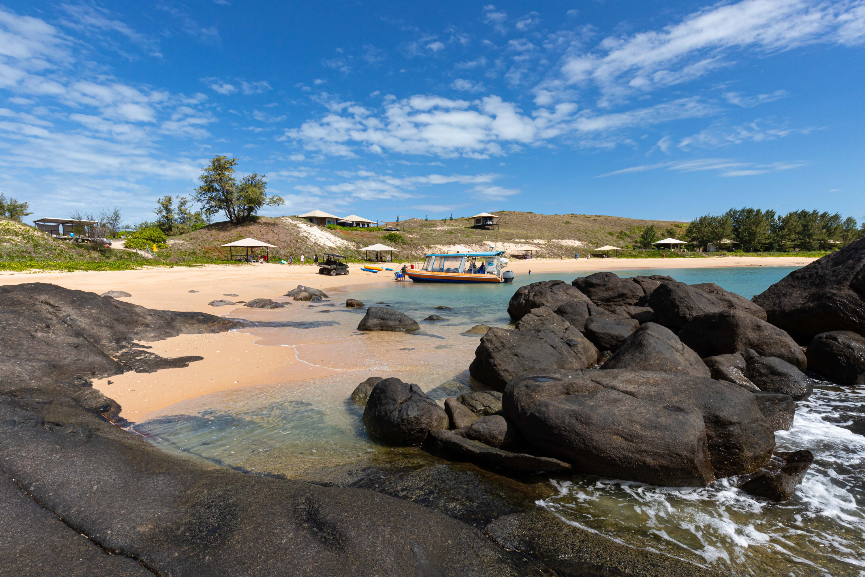
Bremer Island Cruises depart from Gove Boat Club and deliver you to the Banubanu Wilderness Retreat. On the way out the emerald green water is inviting but dangerous with sharks, crocs and stingers. You can spend the four-hour experience on the island relaxing by the plunge pool or lying under a shady gazebo on the beach.
43
The bar and restaurant are open for lunch and offer a fantastic menu. Bremer Island Cruises also operate Gove Harbour Fish & Chips sunset cruises, and Gove Harbour Historical Tours.
Activities on Bremer Island include snorkelling around the rocks, kayaking in the bay, and enjoying the 1.2km loop Point Walk or the 2.5km loop Boundary Walk; in fact, you’ll possibly have time to do both.
I settled for the Point Walk and the relaxed pace meant I could enjoy the spectacular views and colours around me. If you have a boat, you can make your way over to the retreat to enjoy the scenery and facilities, and you can also stay at the resort with eco huts overlooking the beach.
43
The following day I checked out the beach campsites on the eastern side of Gove Peninsula.
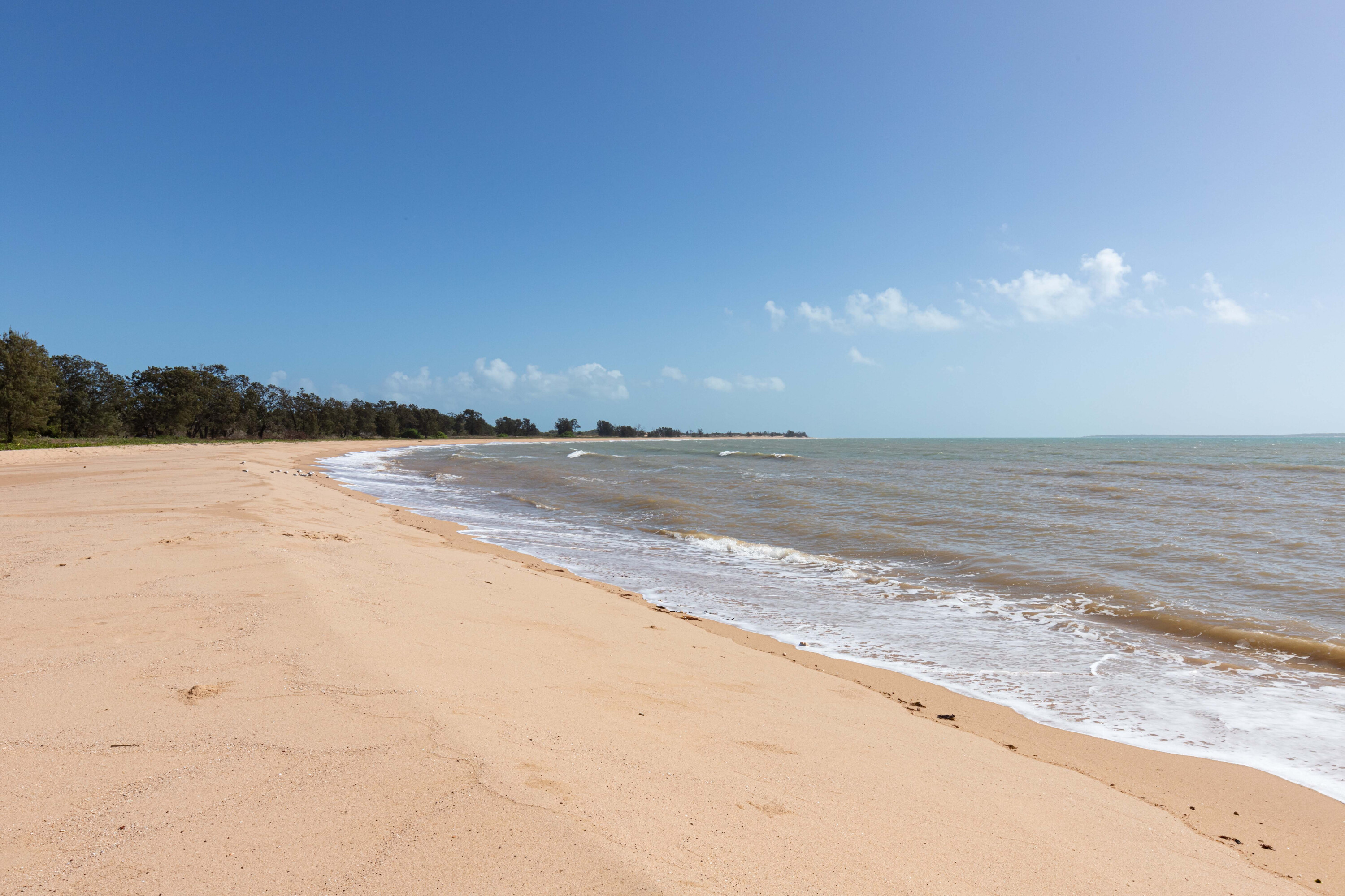
The southern camping areas at Cape Arnhem (Waṉuwuy) were closed due to turtles nesting, so only the eastern ones were accessible. The first stop was Daliwuy Bay (Binydjarrnga) which has a couple of campsites, one large and one small, and a drop toilet. There is a boat ramp that provides access to a large lagoon and Daliwuy Bay.
Macassan Beach (Wurrwurrwuy) is a sacred site for the Yolngu People; it was a trading place with the people from Makassar in the Celebes (now known as Sulawesi, Indonesia) who harvested sea cucumbers in the area between the mid-1700s and 1907. There is a 200m circuit walk with information boards explaining the stone arrangements dispersed along the track.
43
The camping area overlooks the beach but is open and unprotected from the wind. All the sites were taken at this popular spot, with the only facility being a solitary drop toilet.
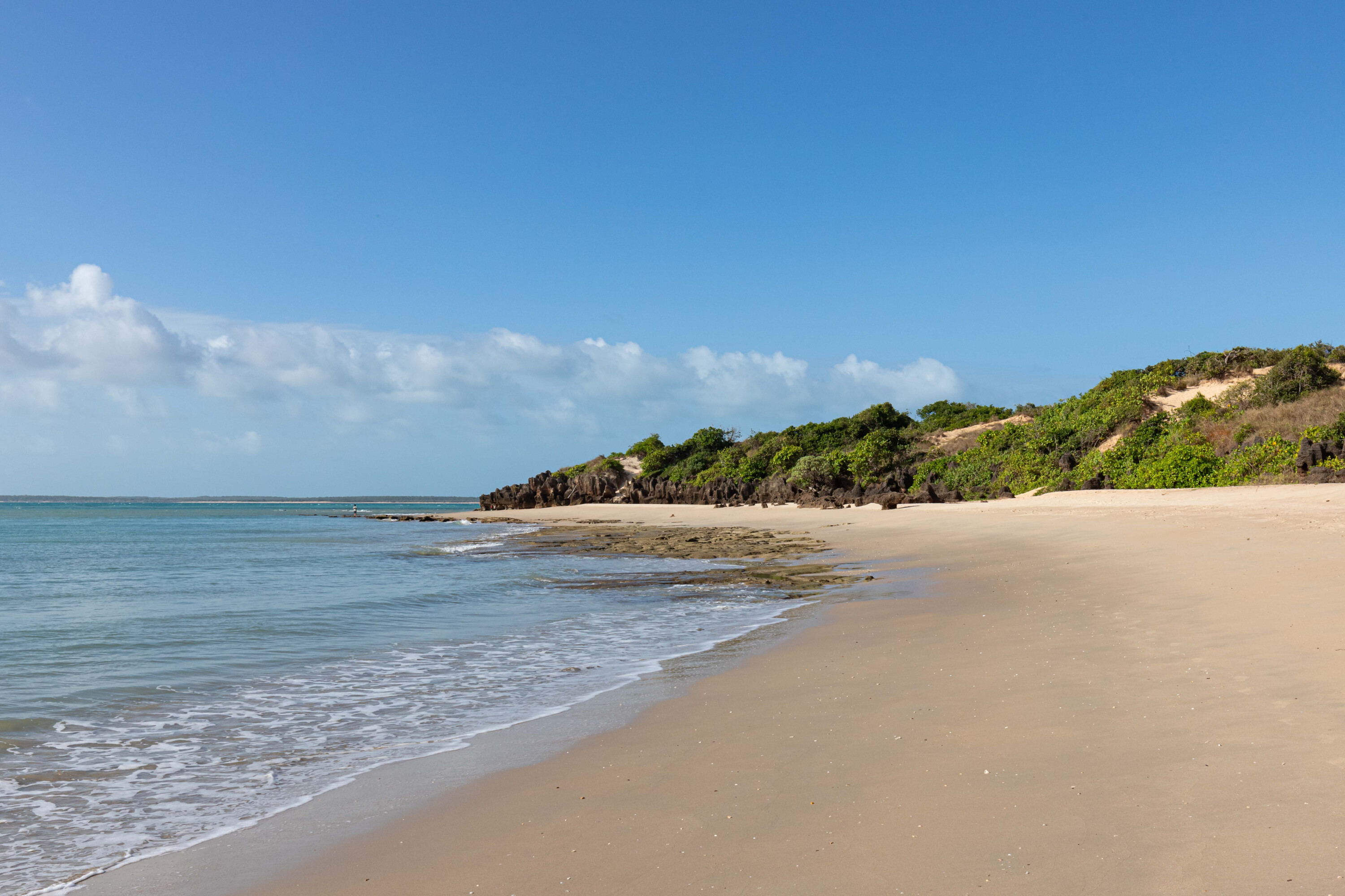
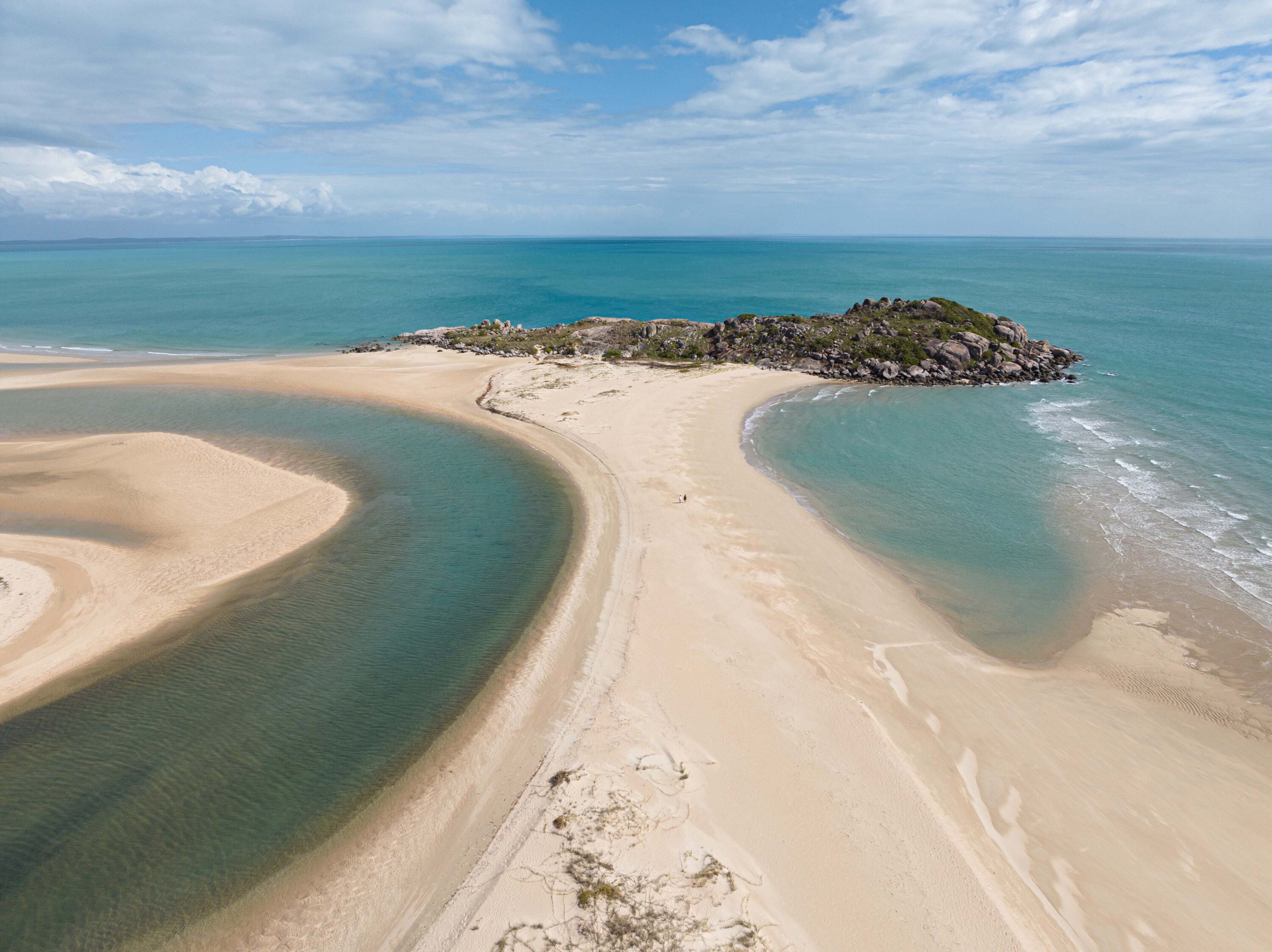
Turtle Beach (Ŋumuy) is the most protected of the camping areas and also the most picturesque, but again space is limited with the campsites tucked into the lush coastal monsoon vine forest. The white sand and blue water make this hidden cove a favourite with locals. There is a composting toilet and picnic tables, as well as plenty of shade. The beauty of Arnhem Land is incredible.
At the end of the track is Little Bondi Beach (Bariŋura) which is the best swimming beach by far and is a popular hang-out for locals, with plenty of families and young people enjoying the area, especially on weekends.
43
There is some deep sand on the track in, and beach driving is necessary, so reducing tyre pressures will aid progress, although it didn’t look like the locals bothered with that too much.
Closer to town there is camping near Rainbow Cliffs (Banambarrnga), accessed via a severely corrugated road, but the limited campsites are dispersed nicely. Rainbow Cliffs light up at sunrise but even in the middle of the day they are a spectacle.
East Woody Beach is another beautiful spot to check out and at low tide you can walk across to the island at the tip. I checked out Crocodile Creek but didn’t spot any crocs lurking in the water.
43
My legs got smashed by midges here and I suffered for many weeks.
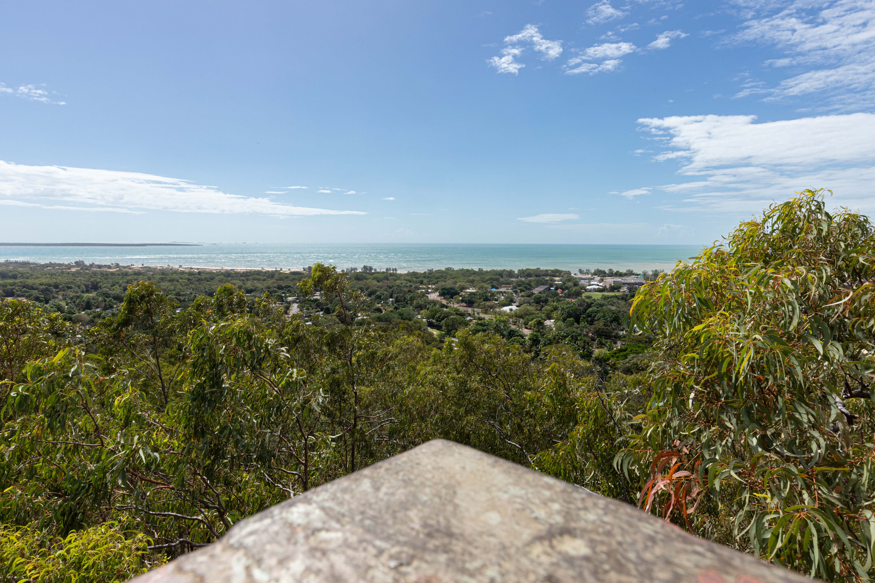
Nhulunbuy Lookout offers great views over the town and out toward Papua New Guinea, and there are several beaches to enjoy, such as Birritlimi, Wallaby and Town beaches, but I was never tempted to enter the water, even with it being so hot. My legs got smashed by midges here and I suffered for many weeks.
Just south of Nhulunbuy is Yirrkala and the excellent Buku-Larrnggay Mulka/Yirrkala Art Centre, and it’s well worth spending a couple of hours exploring the indigenous art. You’ll need a permit from the Dhimurru Aboriginal Corporation before you go, which can be applied for online (but not on weekends) so make sure you plan ahead.
My time in Nhulunbuy was over and with a long drive ahead of me I got up early, checked out and filled up the fuel tanks before departing this special place.
43
Outward bound, I forgot how rough and rocky the road was in places, and as well as all the corrugations there are also long stretches of bull dust.
I arrived at Mainoru Store by mid-afternoon and once I’d set up, I enjoyed a dip in the swimming hole with its crystal clear water and lily pads. My evening was spent enjoying a home-cooked meal and a few beers undercover at the rear of the store, chatting to fellow travellers.
The store is open for ‘Snack Box’ items from 8am so I picked up a toasted sanga for breaky before heading off towards Katherine. It was interesting to watch how the termite mounds changed colour along the route as the soil changed colour, and also their shapes; some are tall and thin north-south termite mounds while the others are big and chunky.
I was mesmerised by the beauty of what I saw on this adventure. If my next destination, Garig Gunak Barlu National Park in northern Arnhem Land, is as stunning as the Gove Peninsula, I am in for a treat.
Some note title here
Region
Eastern Arnhem Land
Nearest town
Nhulunbuy
When to go
The cooler months from April to September are the best times, but access may close after heavy rain.
Permits
Get them from Dhimurru Aboriginal Corporation for access to this section of Arnhem Land as a visitor and for camping. An additional permit is also required to visit the art centre at Yirrkala. These permits are available for purchase online before you arrive.
Contact
Some note title here
- Littler Bondi Beach
- Giddy River
- Turtle Beach
- Macassan Beach
- Rainbow Cliffs
- Littler Bondi Beach
- Giddy River
- Turtle Beach
- Macassan Beach
- Rainbow Cliffs

We recommend
-
 Explore NT
Touring Pine Creek in the NT
Still very much a mining town, the Top End’s Pine Creek is also an interesting museum of its past success
-
 Explore NT
Touring Kakadu National Park, NT
One of the world's great National Parks is easy enough to get to by road, but to fully experience this jewel of the Top End you need a 4WD
-
 Explore NT
Exploring Plenty Highway and Binns Track in the NT
An exploration of the eastern end of the Plenty Highway and south on to the Binns Track