Explore WA
Gallery 1
I was fishing for barramundi on the Mitchell Plateau at the top of Western Australia when it struck me just how isolated and remote I was.
My camp was up past the stunning Mitchell Falls at Walsh Point, and I had seen no one for a few days after leaving the more popular tourist spots behind.
Being mid-July, Mitchell Falls itself was extremely busy, at the campsites, on the track to the falls, and even in the sky with choppers buzzing about ferrying tourists back and forth. I decided to head further north to the quiet Surveyors Pool, and eventually up to Walsh Point, where I was told the track was pretty ordinary.
1
That advice must have put some people off, because when I arrived at the Surveyors Pool carpark, I was the only soul around, and there weren’t any noisy choppers in the sky.
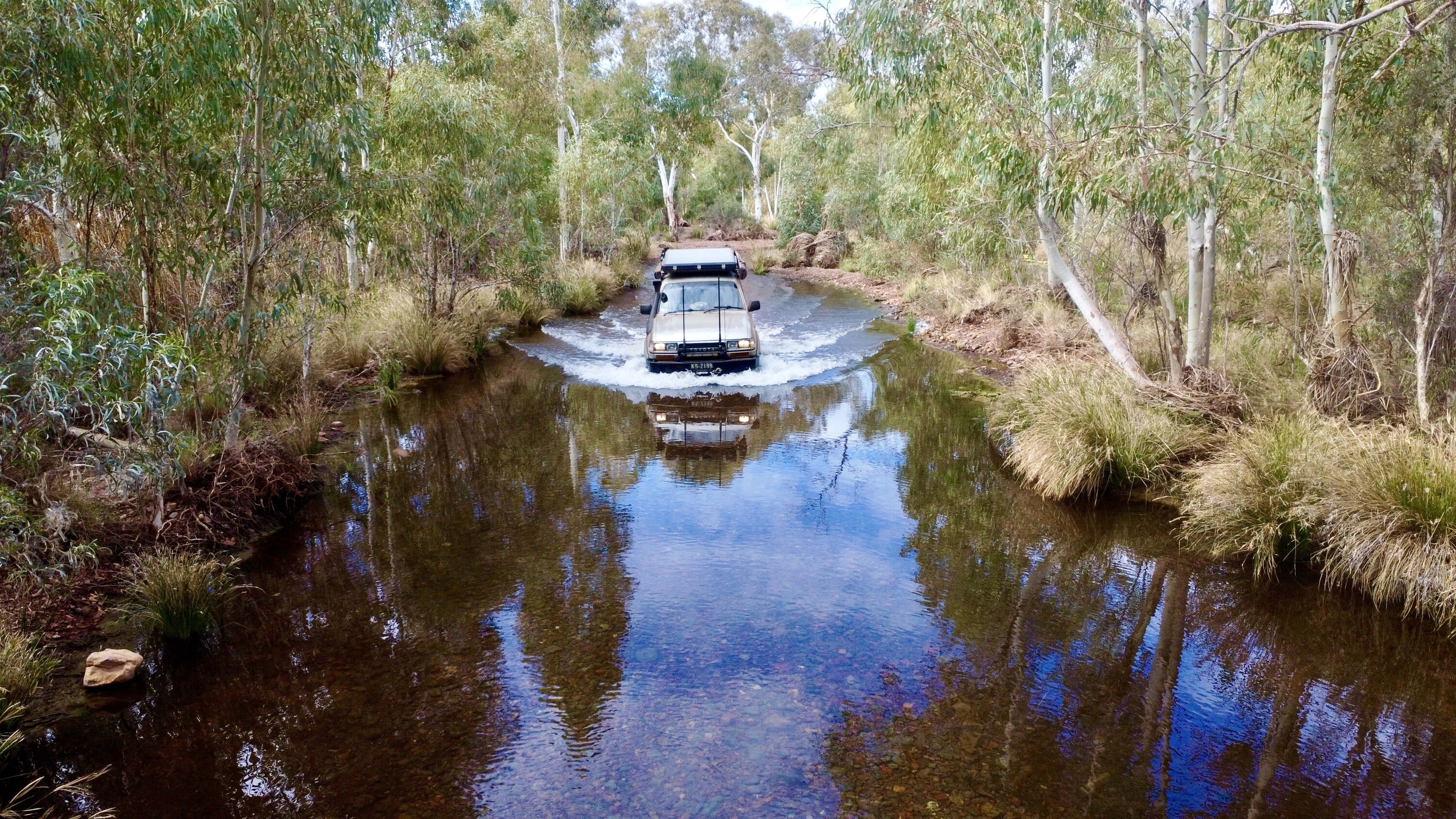
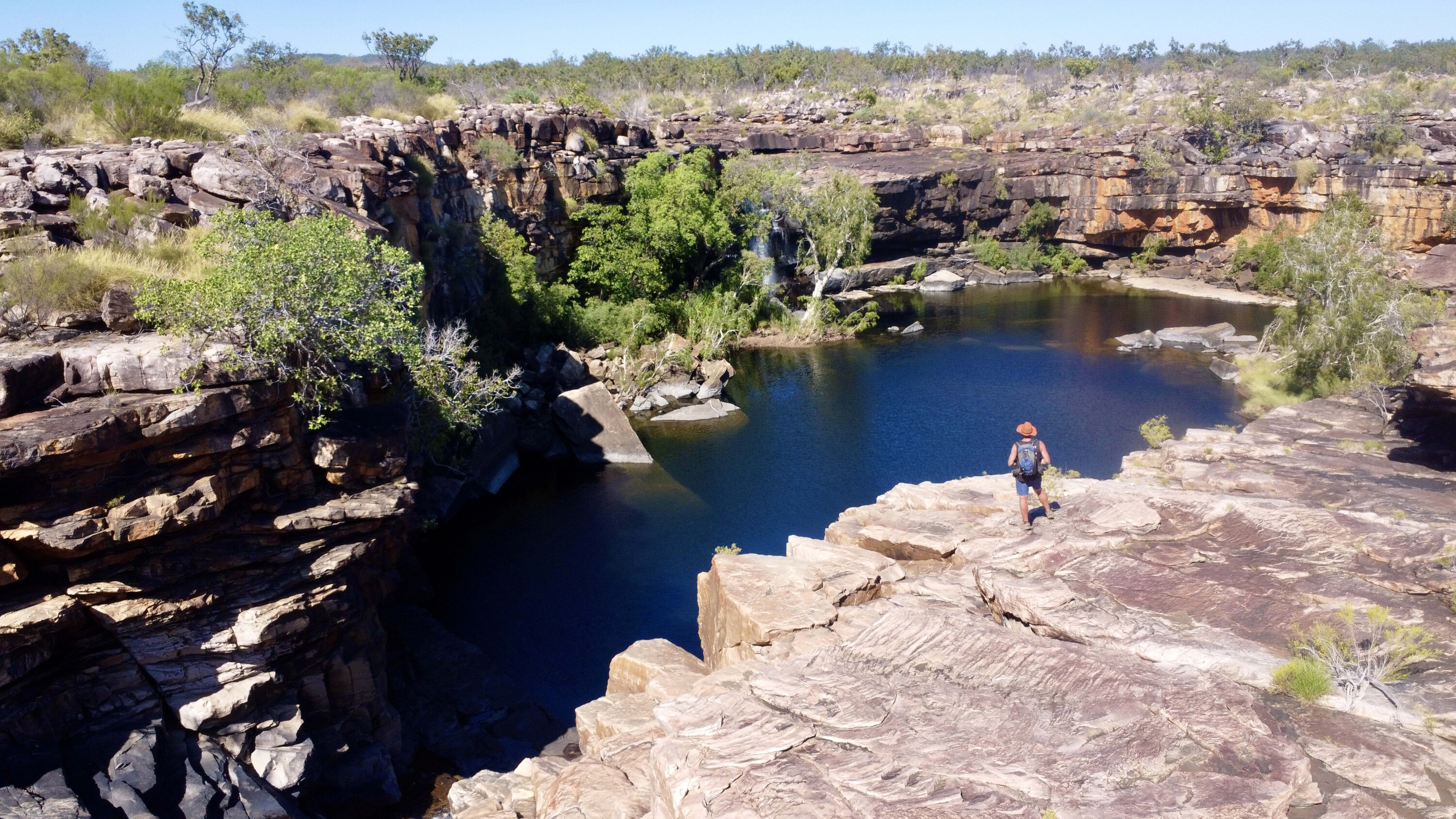
With a 30-minute walk up to the pool and falls, I was blown away by the gorgeous Kimberley scenery and I found it hard to imagine this place in full flood. Laying in the cool water at the top of the falls for an hour, I heard the chatter of some visitors, so I decided it a good time to press on.
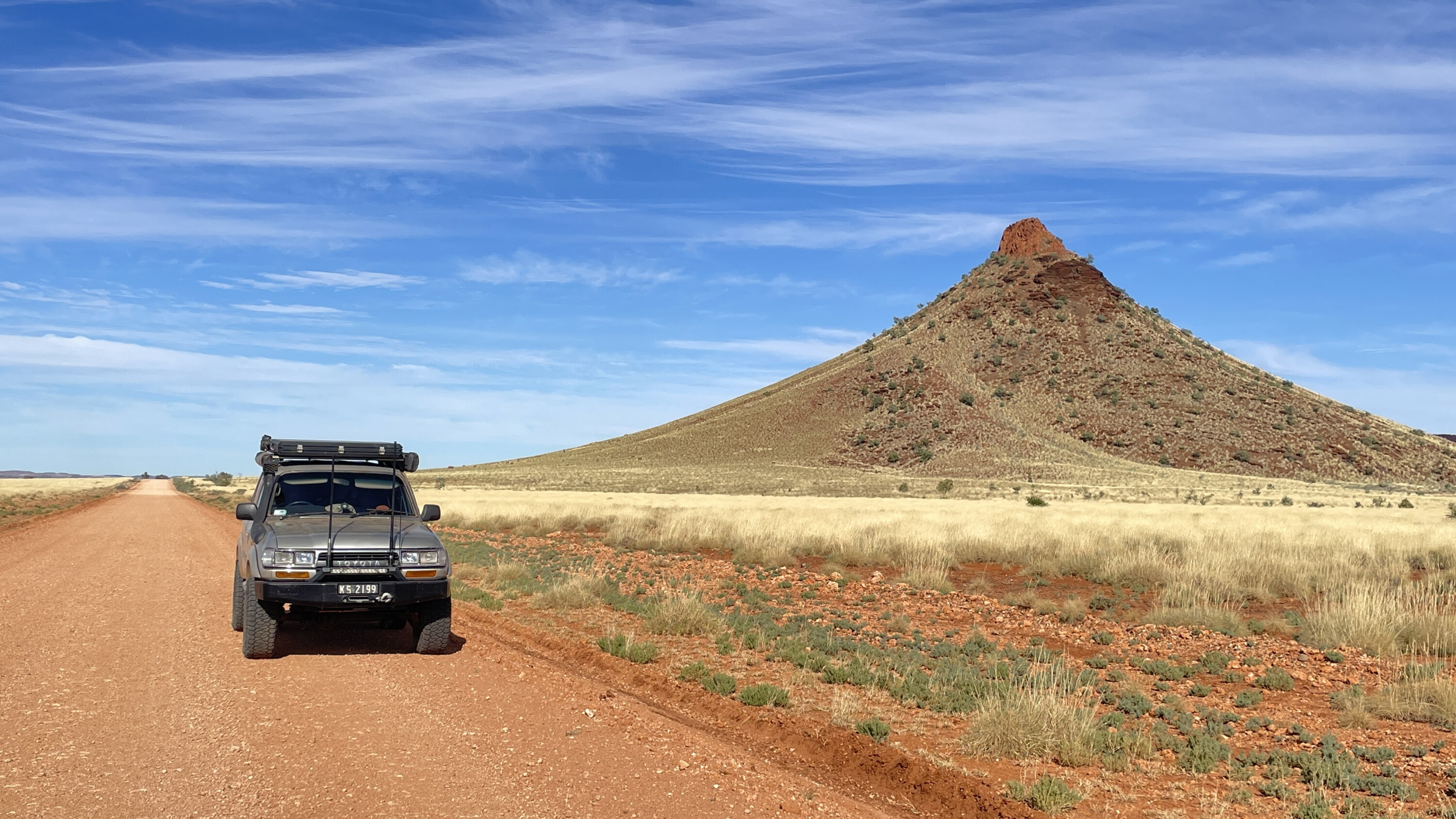
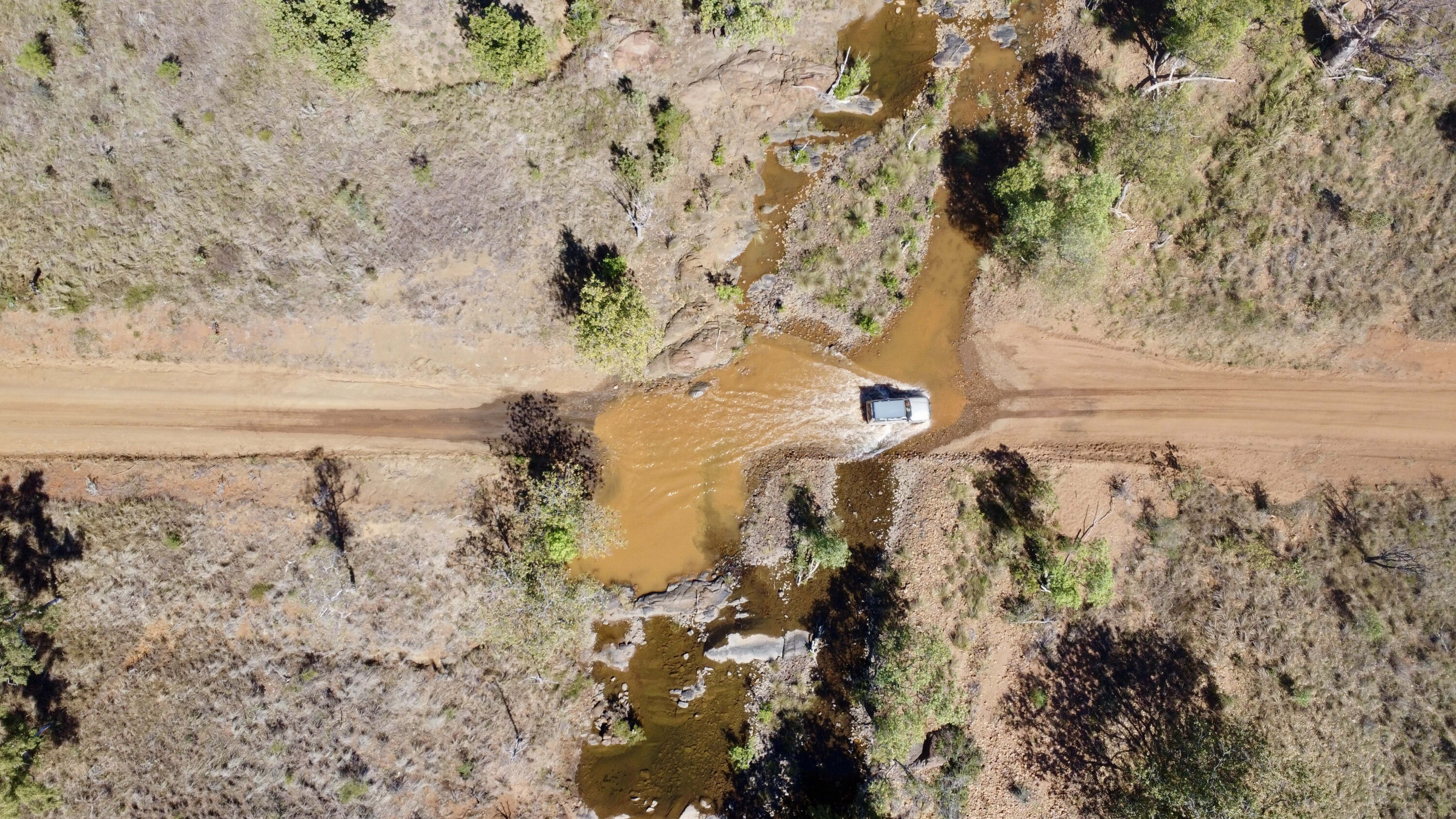
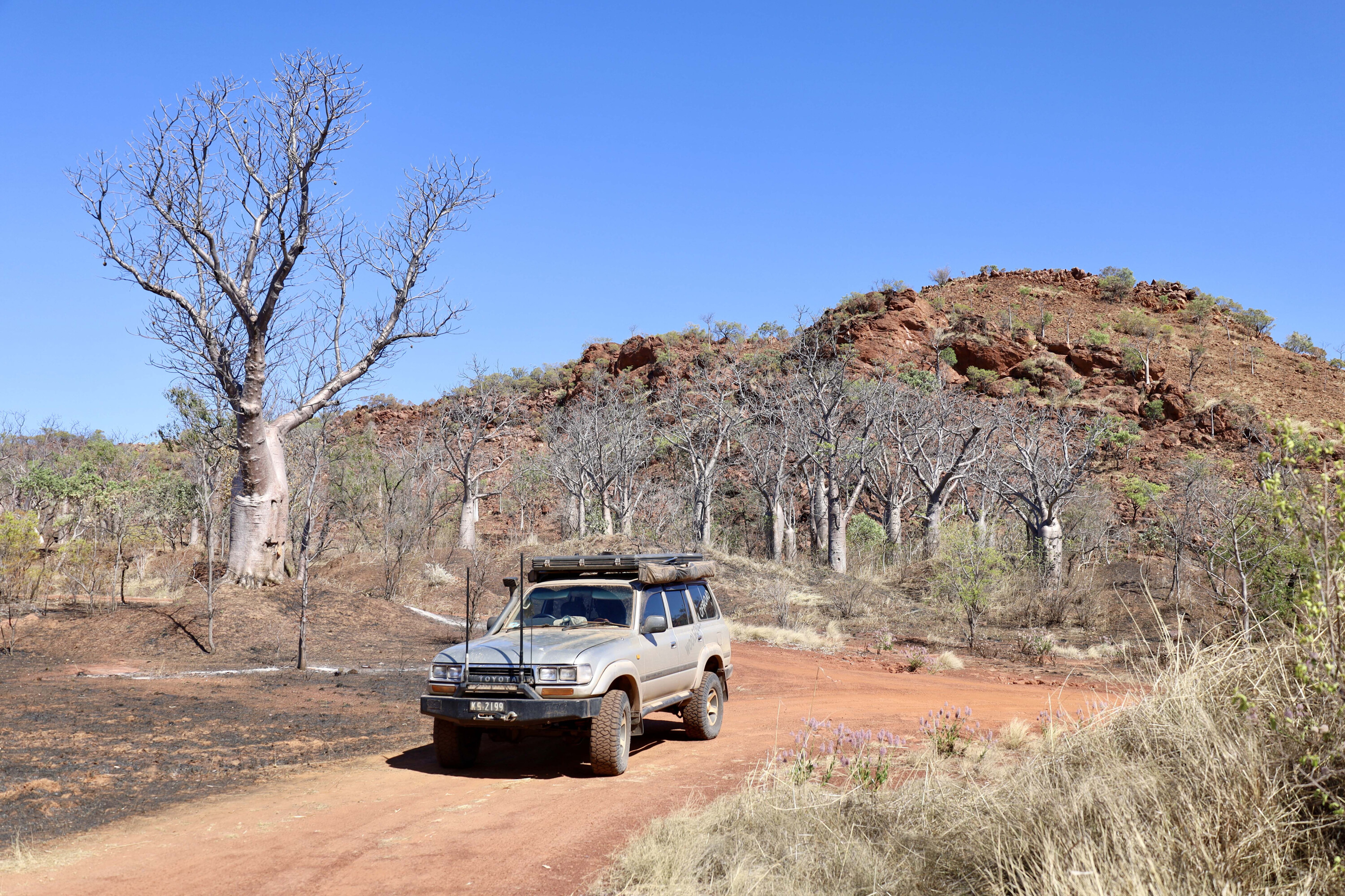
The road further up to Walsh Point is certainly rough, but not as severe as I was told it was back at Drysdale River Station. There are several lookouts along the track that offer breathtaking views across the Admiralty Gulf.
1
Dropping down the last section to Walsh Point I was happy to discover I was the only camper around, so I had my pick of the camping spots with stunning water views surrounded by old boabs.
Apart from simply reaching this remote and isolated part of WA, my plan was to hunt down a few barra and to enjoy the solitude after enduring the visitor chaos back at Mitchell Falls. The sunsets were spectacular with the beautiful boabs as a backdrop. Crocs and sharks swam past my camp at high tide and I caught several barra up to around 700mm long; enough fish for a week!
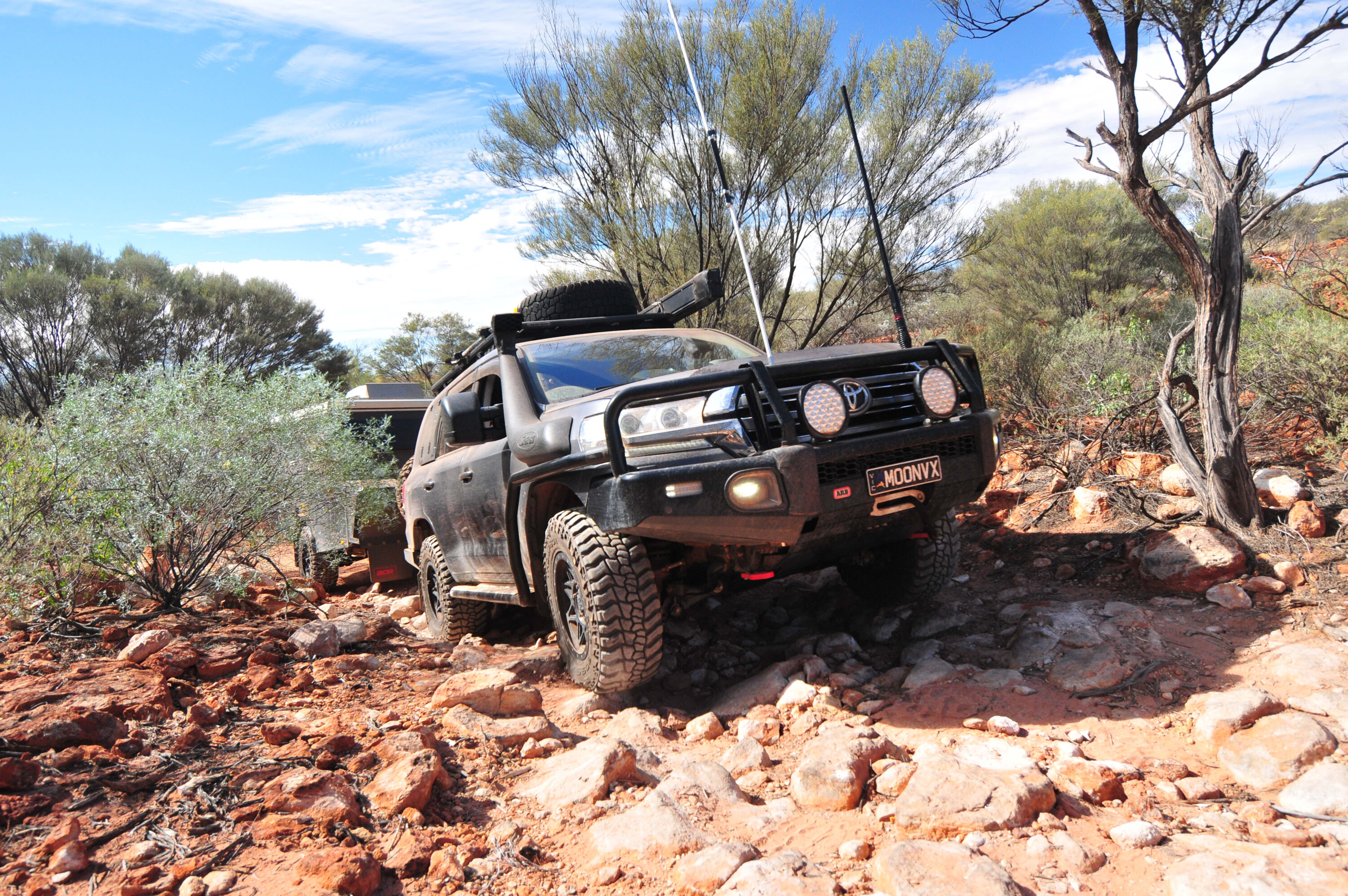
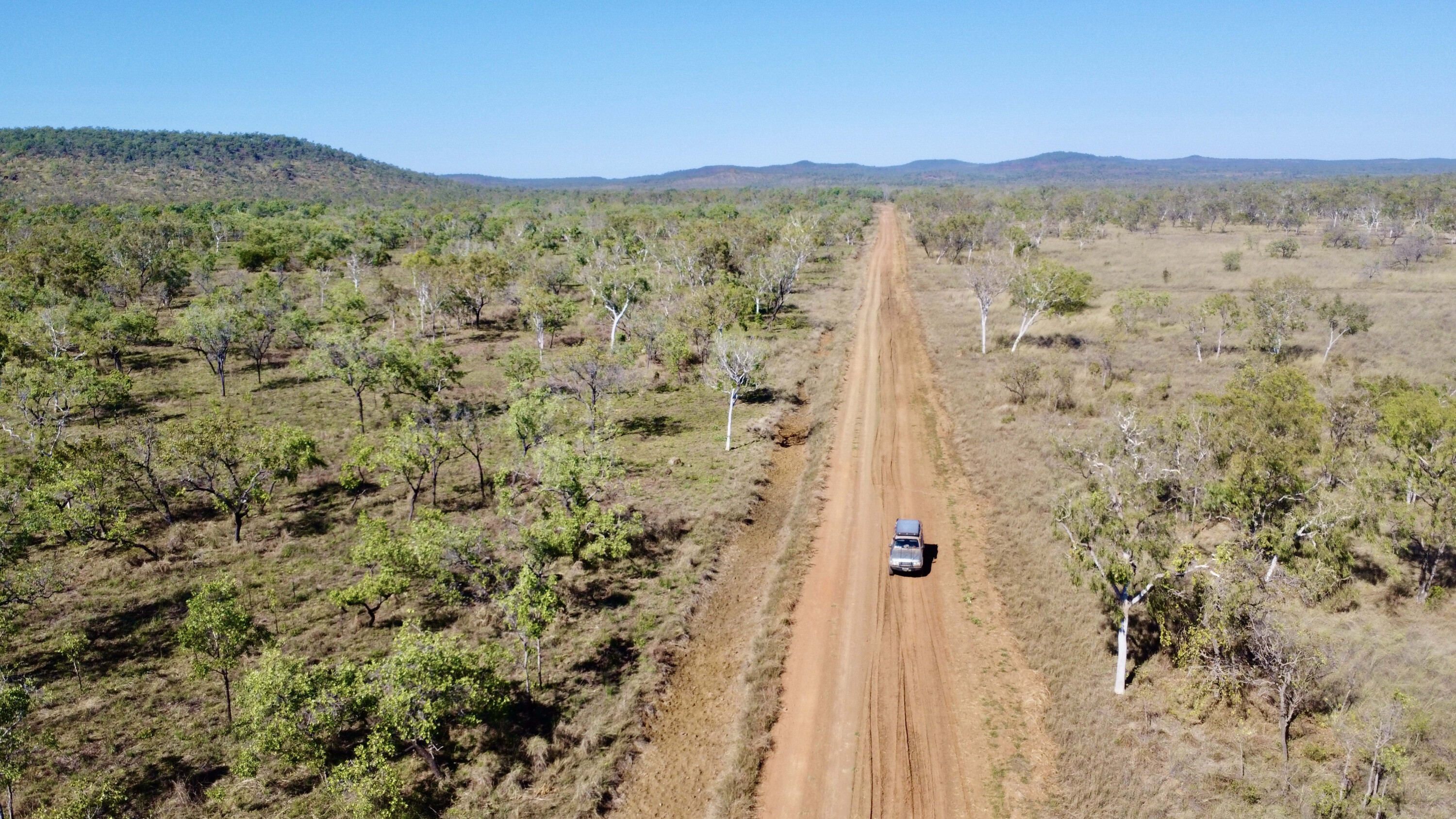
With a few fish and plenty of memories under my belt after a week at Walsh Point, I decided it was time to leave and head back out and further north to Kalumburu. It was a 100km drive back to the Gibb River-Kalumburu Road turnoff, and another 110km up to Kalumburu.
1
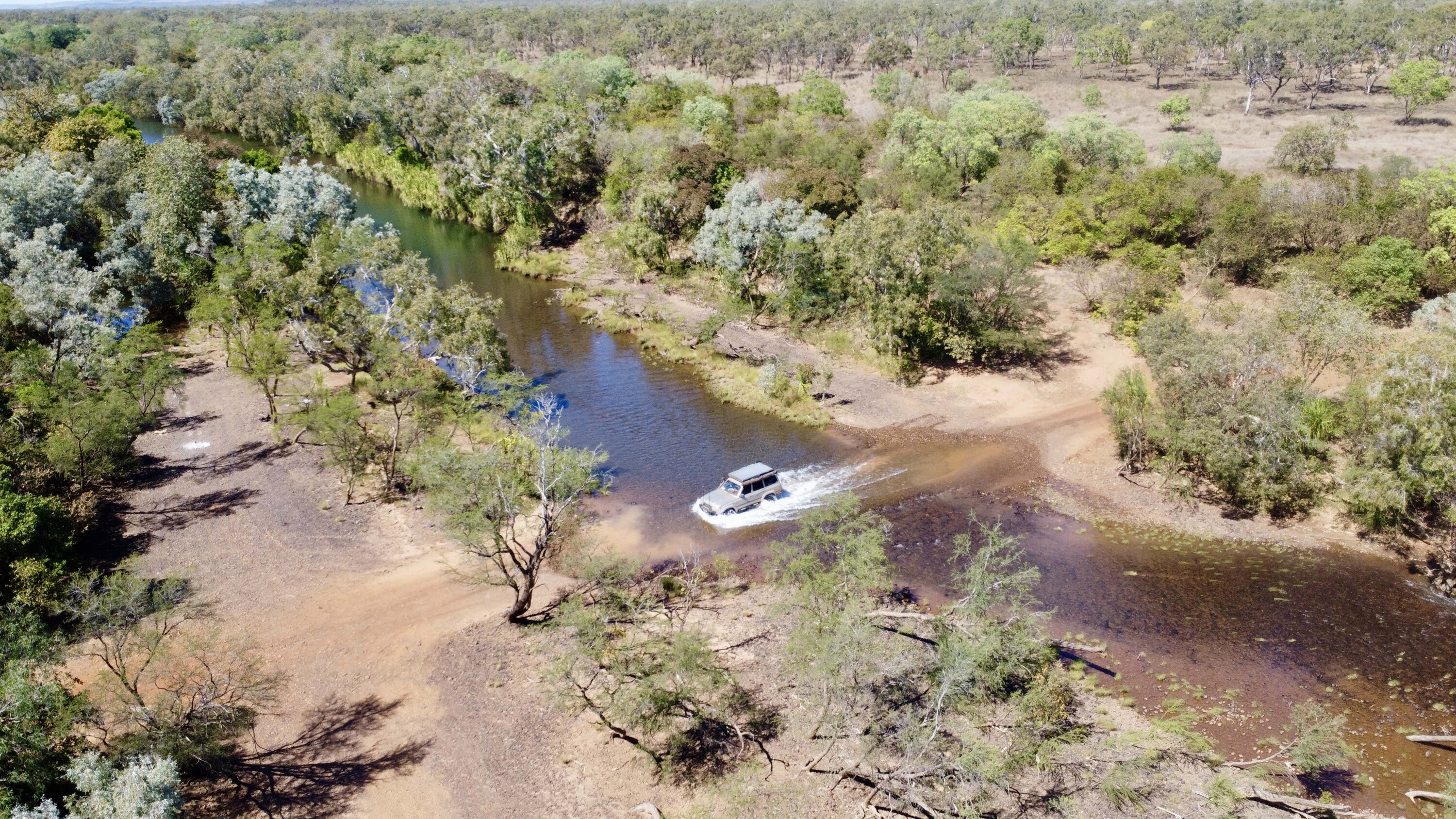
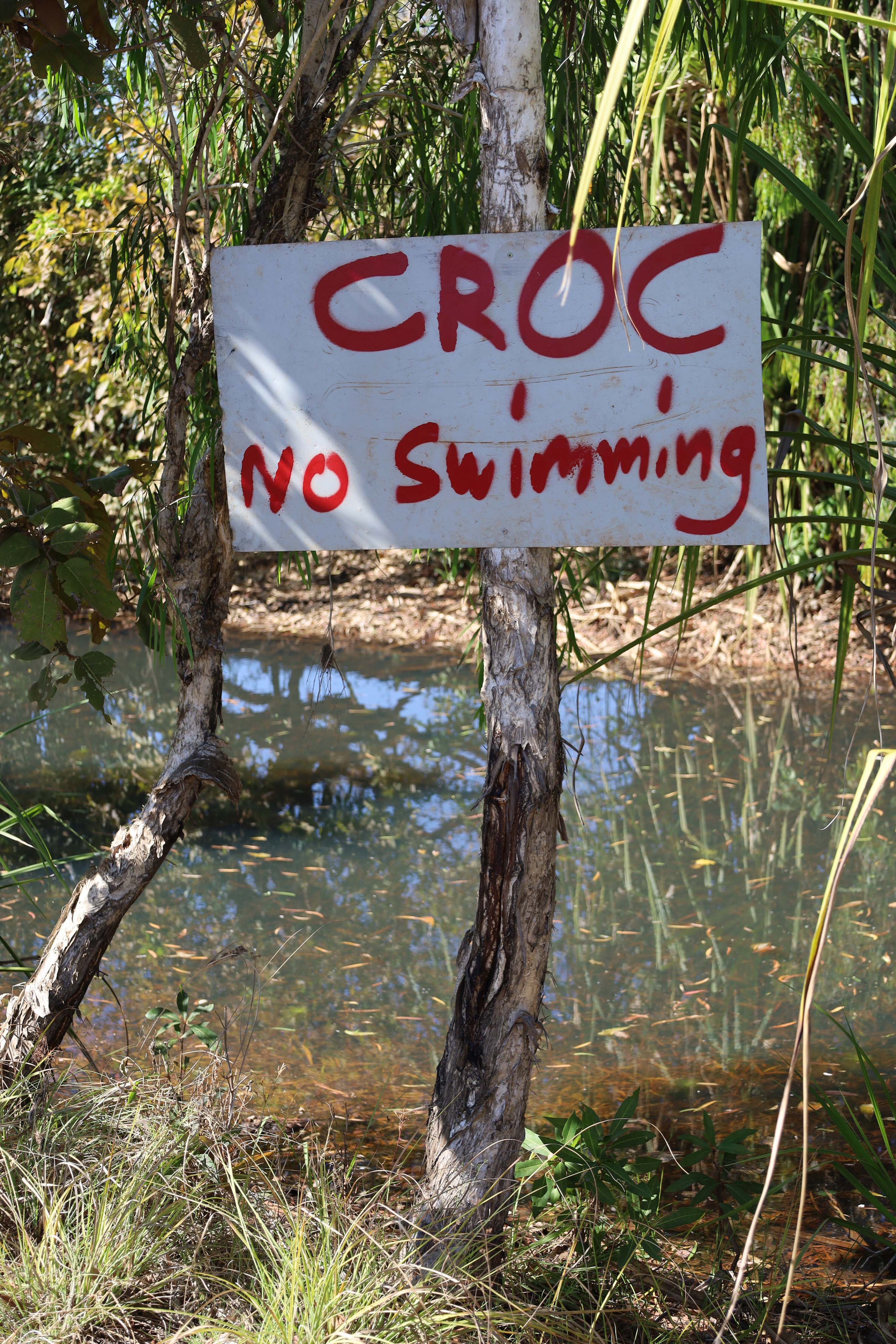
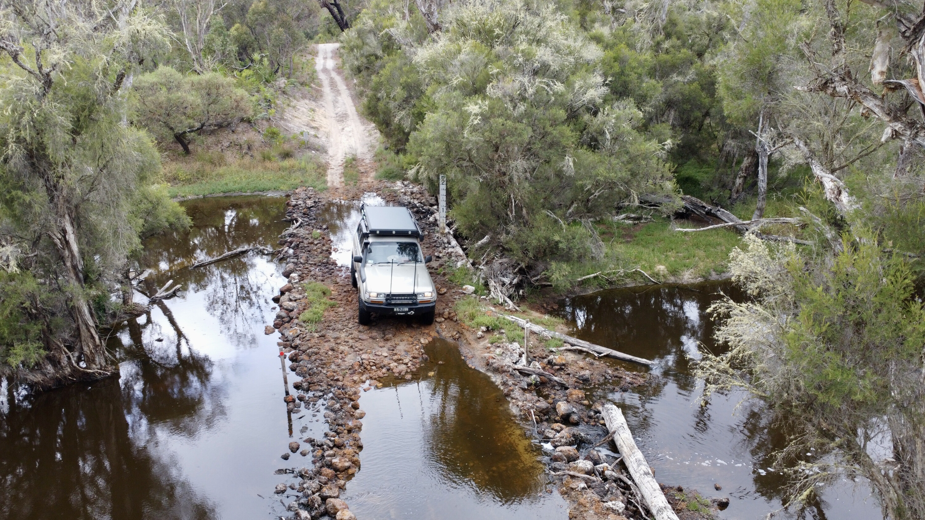
The drive included several water crossings, and there were bird-filled billabongs, amazing views at the top of several ranges, and a diverse range of wildlife along the way. Of course, this is croc country, so there was no way I would stop for a cool dip.
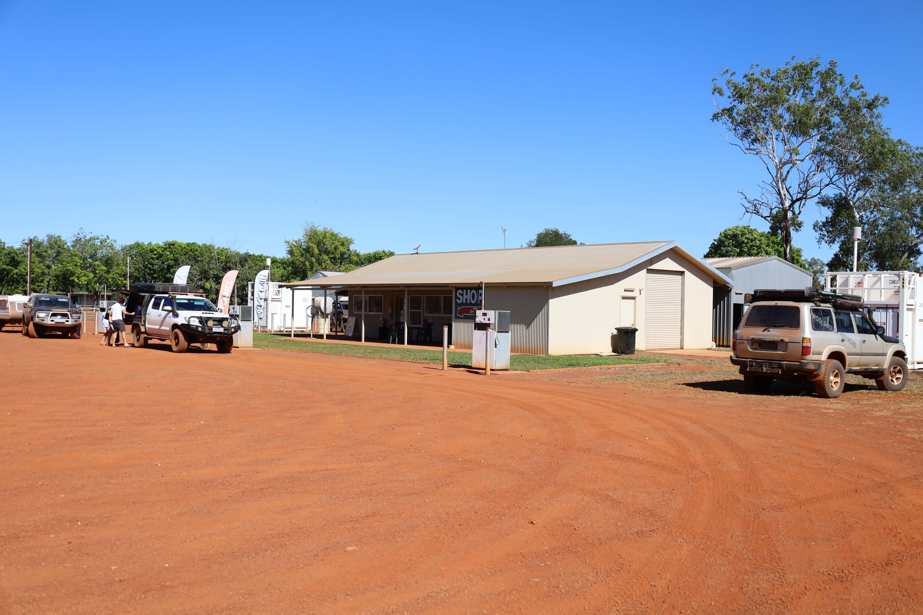
Arriving at Kalumburu my first stop was for fuel, but being short on volunteers there was no fuel for sale when I arrived. There’s a local shop that has a good supply of supermarket items and it’s here that you can get a permit to travel through town and on to the two camping areas further north.
Bear in mind that Kalumburu is a dry town and no alcohol is available, nor can any be consumed in town. The locals are welcoming and happy to help in any way.
1
Kalumburu is the most northern settlement in WA and for millenia was home to several aboriginal groups.
This corner of Australia was one of the main points of entry for our first inhabitants and evidence of this, along with trading with Europeans, is highlighted in the rock art scattered throughout the northern Kimberley, especially the Gwion Gwion (Bradshaw) rock paintings.
In 1905 a Catholic mission was set up at Pago at Mission Bay, but was relocated to where Kalumburu is today in 1932, as there is a more reliable water source here. You can visit the crumbling ruins at Pago but need to seek permission in town to go on-country. You can wander around the new stone mission and beautiful grounds, and if you’re lucky the museum may be open, which has an array of artifacts from days gone by.
1
Originally Kalumburu was called the Drysdale River Mission and it played a strategic role in WWII activities, with an army base and radar station.
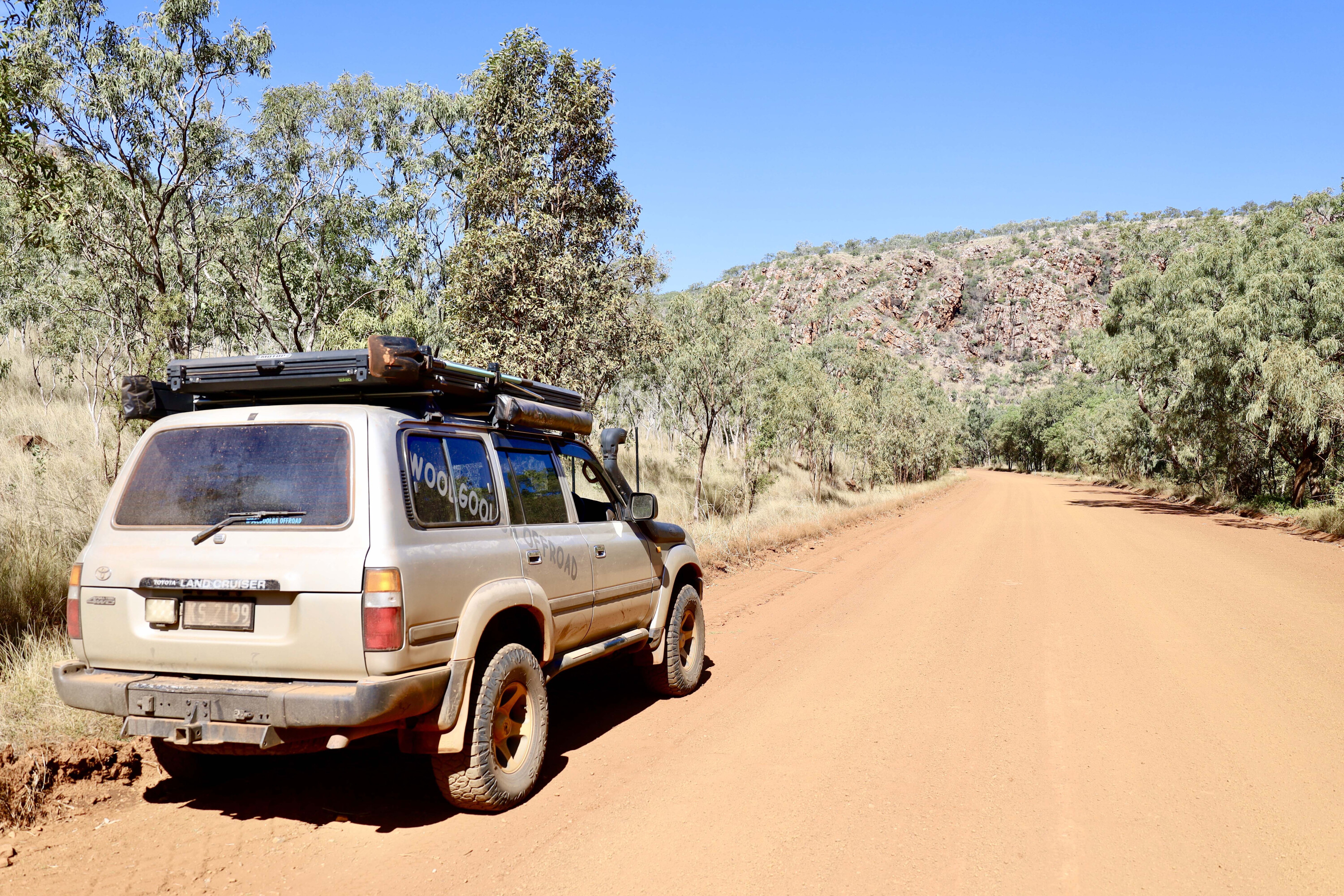
Unfortunately, in 1943 the Japanese found and bombed the airfield and mission, killing six people in the process. Later on the airstrip was moved further to the northwest, to the Anjo Peninsula. North of the town, remnants of the bombed aircraft can still be found today with parts and gear scattered through the bush. It wasn’t until 1954 that a road path was surveyed and cut in to allow access to the town in the dry season.
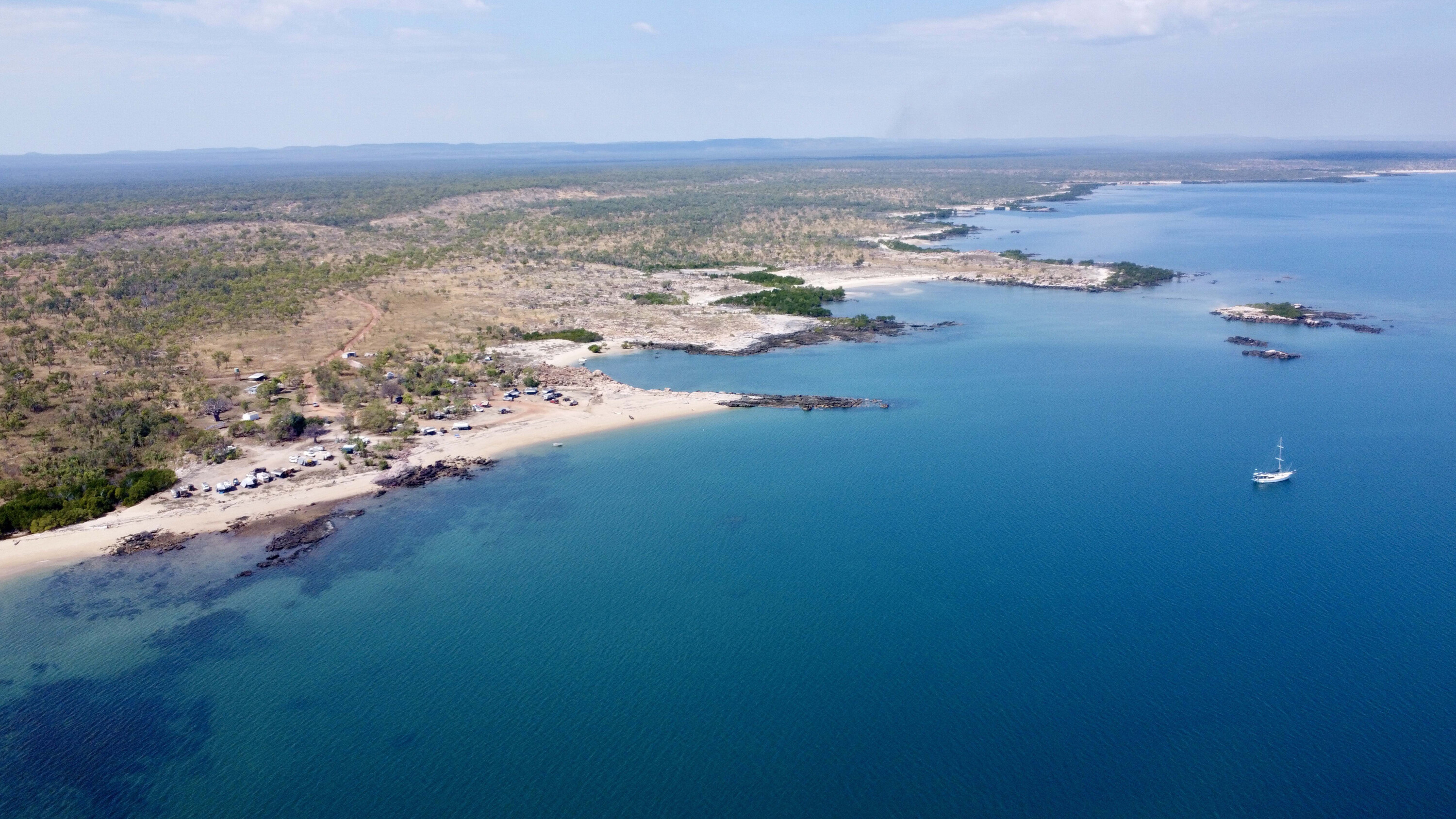
After acquiring a permit and stocking up on a few groceries, I headed further north to McGowan Island Beach camping area. There is another camp called Honeymoon Bay but it igets booked out pretty fast.
1
McGowan is tucked down on the coastline looking due west you’re guaranteed a stunning sunset every evening, but being croc country this isn’t a place to swim and frolic in the ocean.
As a precaution to keep the crocs away from campers, the camp hosts have strict rules for discarding fish frames, either several miles out to sea or at an old quarry a mile away. The fishing in the Top End is regarded as some of the best in Australia, and most days there’s never a shortage of fish to be handed around camp.
There’s fresh water and basic laundry facilities at the McGowan camping area, and there’s even a Starlink for campers, and every site offers stunning ocean views.
1
After a week kicking back in this incredible area I pushed on towards Wyndham about 600km away, making sure I timed my drive to sync in with Kalumburu’s fuel bowser open times, and getting just enough diesel to get back out.
The drive out was just as impressive as the drive in, across bauxite-rich flat-top hills that were once joined to the Mitchell Plateau. The landscape here has been broken down and shaped over millions and millions of years, resulting in some amazing rock formations, ancient riverbeds and deep gorges.
This remote part of WA is one place that needs to be experienced at least once in your lifetime.
Some note title here
Website
Permits
www.daa.wa.gov.au/land/entry-permits/about-entry-permits/ [↗️]
Planning
www.australiasnorthwest.com/kimberley-and-pilbara-holiday-planner/ [↗️]
Maps
Hema The Kimberly (hemamaps.com/products/the-kimberley-map [↗️]; Hema The Kimberley Atlas and Guide (https://hemamaps.com/products/kimberley-atlas-guide [↗️])

We recommend
-
 Explore WA
Touring Wyndham and Kununurra in WA
Before you head west along the Gibb River Road, make some time to explore this incredible area
-
 Explore WA
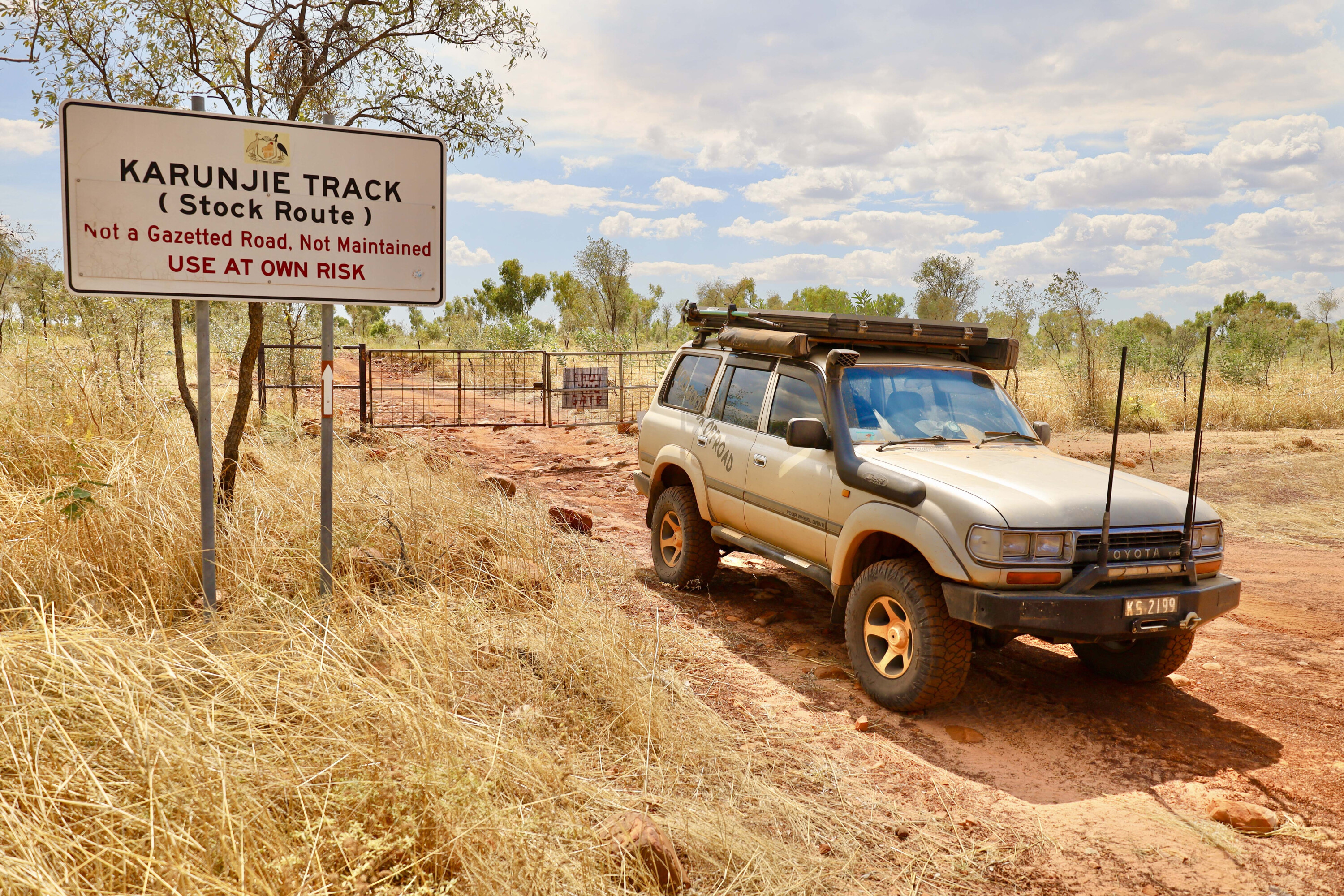
Touring the Karunjie Track in WA
What makes a track iconic? Its location, its remoteness or maybe its historical significance? Karunjie Track that runs between the Cockburn Range and Pentecost River in the east Kimberley offers all that and more.
-
 Explore WA
Western playground: Pemberton, WA
Just 300km south of Perth, the quaint town of Pemberton and its surrounds is rich in history and natural beauty