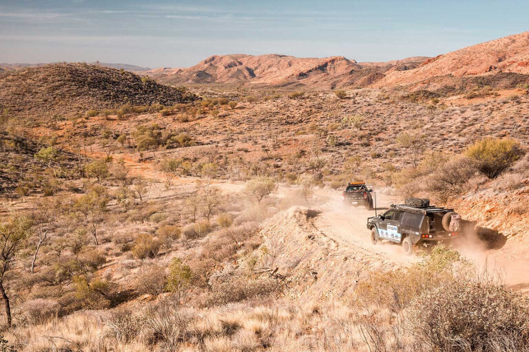
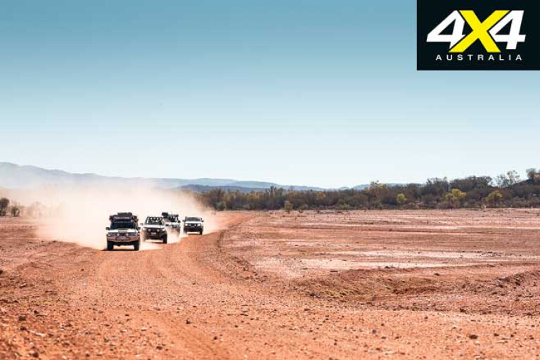
The track we were following had quickly turned to sand as we dropped into the wide bed of the ephemeral Hale River. The Patrol growled in response to the soft clinging sand as we turned to follow the river’s sandy course through the far east end of the MacDonnell Ranges.
The track occasionally climbed the bank to cut a corner in the stream but just as quickly returned to the soft sand of the riverbed, making this area one of the few ‘real’ four-wheel driving destinations in the East Macs.
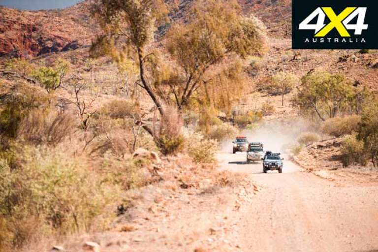
In one spot we splashed through a film of water, the last visible remnants of the flood that had coursed down through the valley a few months previously. What remained of the pool of water had been churned to mud by wild cattle, going by the tracks in the sand and the warning sign at the entrance to this little-visited nature reserve at Ruby Gap. I got out of the Patrol to see if there were any spoor of dingos, but the signs were all of the hoofs of cattle; although, we never spotted any of these during our stay.
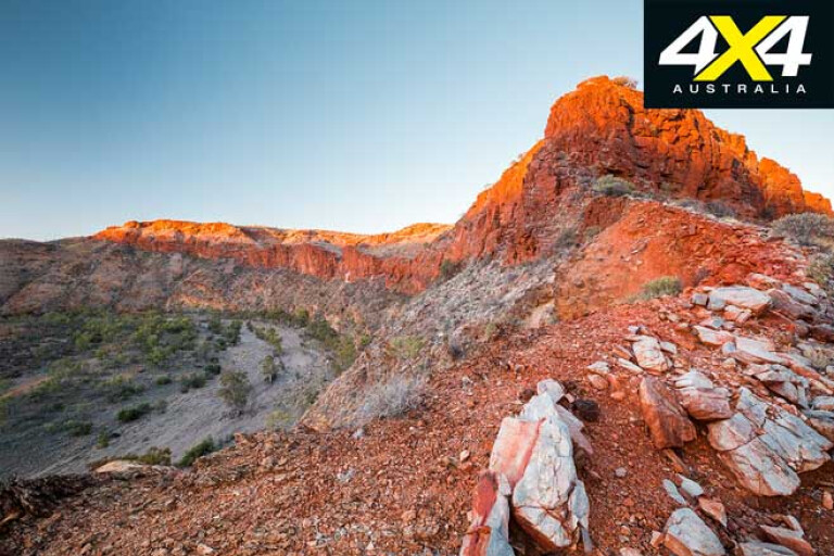
We pulled up for the night at the edge of the stream, with towering red raw rock making an awesome backdrop to our campsite.
Back in 1886, the explorer David Lindsay thought he had discovered rubies throughout this area and a rush had set in for the valuable stones. Within a year there were more than 200 hopeful prospectors looking for the red stones, which quickly turned out to be the far less valuable garnets and the ‘ruby boom’ of Central Australia quickly collapsed.
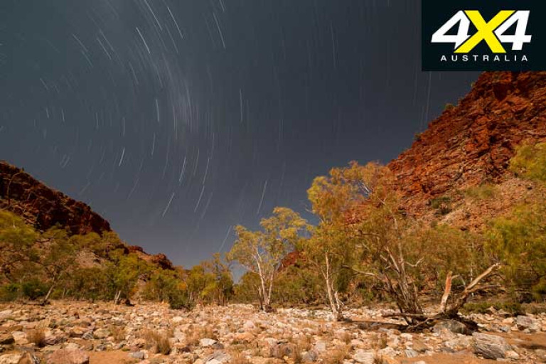
The next day we proceeded deeper into the park, passing a couple of camps scattered along the bank and exploring as far as we could drive, the track becoming more demanding the farther we went.
Sadly, we didn’t have time to do the walk to Glen Annie Gorge, nor to explore farther afield. We called our visit ‘a recce’ as we will certainly return at a future date.
Our journey through the ranges of Central Australia had started a few days earlier when we had left Alice Springs and wandered along the tar of the Ross Highway to Trephina Gorge. This is a far less visited region than the West MacDonnell Ranges and I’m not sure why as the country is just as spectacular.
.jpg )
Along the way we had passed the more frequented Emily and Jesse Gaps, places we had visited in the past, so we pushed on to Trephina which is just 85km from the Alice.
There were a few travellers in the three camping areas the park provides and we set up our swags in the Panorama Campground, just a short stroll from the start of the walking trail through Trephina Gorge itself.
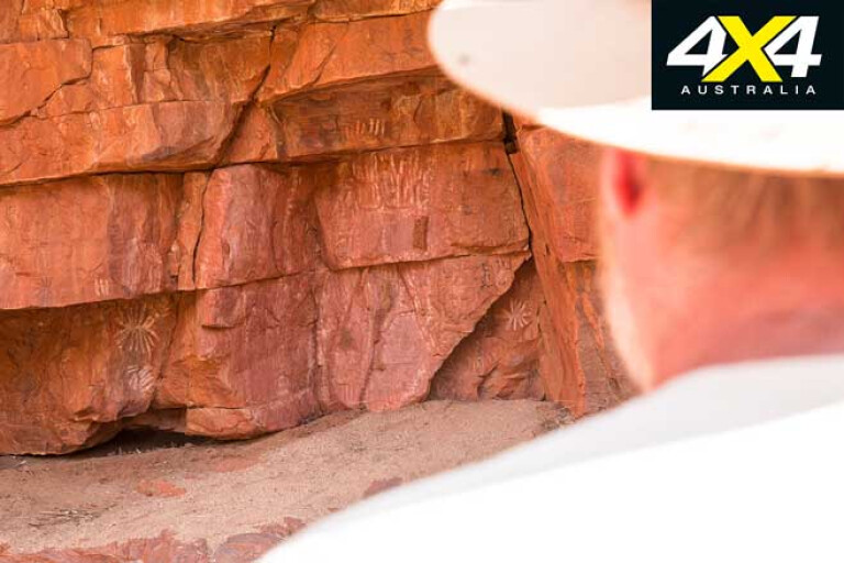
There are a number of walking trails in the park, and the one through the gorge itself leads onto the Ridgetop Trail which takes you in a long loop over the rugged hills to the John Hayes Rockhole. Along the way you’ll find some faint Aboriginal rock art tucked away in low overhangs, while the views from the high points of the ridges take in a sweeping panorama of rugged range and hill country.
The rock hole is also accessed via a rough 4WD track off the main dirt road into the reserve, and we explored around here to find the only pools of water still visible after a long dry spell; this region of the ranges missing out on any water that had flowed farther east down the Hale.
After a second night camped in this idyllic setting we tore ourselves away and headed east, stopping briefly at Ross River Homestead. This is one of the iconic places in the East Macs and was originally established as the homestead for the Loves Creek station back in 1890.
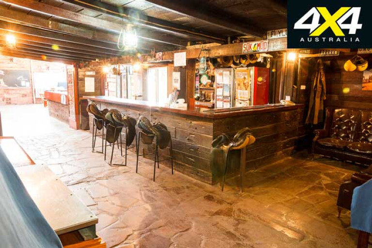
In 1957 the Ross River Resort was established, it being one of the first such establishments in Central Australia and, under a variety of owners, it has supplied rustic and authentic outback accommodation and camping since. Just wandering around the interior of the original bar and dining room areas is a fabulous experience, with history and character oozing from the woodwork.
From the homestead we headed for the historic reserve of the gold mining centre of Arltunga and what was the first European town in Central Australia, and the impetus for the establishment of the township of Stuart, later to become Alice Springs.

Following on from the failed ruby rush of 1886, alluvial gold was discovered the following year at Paddys Rockhole, just outside the current boundary of the historic reserve; and importantly for modern day fossickers, right beside the designated fossicking areas that border the Arltunga Historic area.
Arltunga was a tough place to look for gold. The harsh conditions, the lack of water and its very remoteness were all factors in its slow development. A government battery and cyanide works for crushing and processing the ore was established in 1898, while a police post to help keep law and order followed a year later.
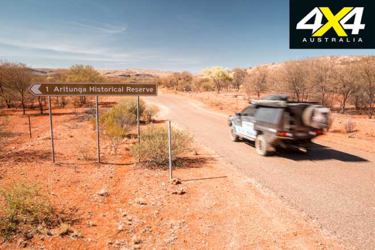
In 1905 a small settlement was established at the Crossroads, but already the miners were moving on. In the 1930s, during the Depression, another small rush saw tough miners scrambling through the hills, and in the 1950s the White Range area was reworked. The reserve was declared in 1977 and since then restoration work has saved many of the original buildings, while walking trails take you to points of interest.
I’ve been here on numerous occasions but always find the place interesting and generally find something I haven’t seen before. The Government Works area is always worth a visit and this trip we stopped to check out the old cemetery at the Crossroads, as well as the Golden Chance Mine, once one of the most productive gold-bearing deposits in the area.
The Arltunga Bush Hotel, which is probably the first building of note you will encounter on your exploration around here, has been closed for years; although, people still use the nearby camping area as no camping is allowed in the historic reserve.
As we headed north on our journey through the East MacDonnell Ranges we stopped at the Hale River Homestead, where there’s good camping and accommodation as well as a fabulous bush bar, cold drinks and hot food (bookings for meals are essential).
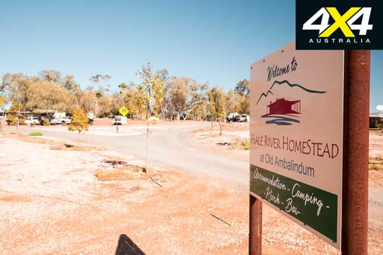
It would make a great base for exploring throughout the region. We could have settled in for the evening but instead took the opportunity for a drive to Fredericks Lookout, about 6km from the homestead, where you can admire expansive views over the Hale River valley to the Harts Range to the north.
With our way-too-short visit over, we headed north towards the Harts Range and the Plenty Highway, stopping at one of my favourite spots, the Gemtree bush resort, which offers pleasant camping, good coffee, takeaway food and fossicking tours.
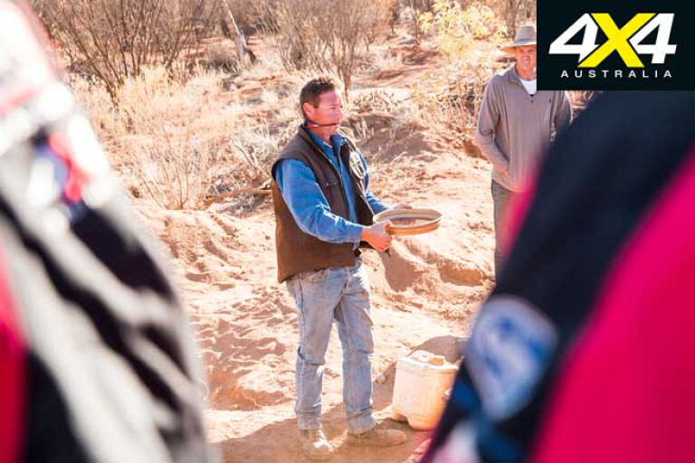
These fossicking tours are run each day during the tourist season and most people head for the more easily found garnet fields, while the keener gem hunter can head off to a zircon field to try their luck on these harder to find, albeit more valuable, gemstones.
While the two spots Gemtree guides lead you to are their own private claims, there are a number of designated public fossicking areas scattered throughout the Harts Range region. I wandered down the rough Cattlewater Pass track to the Harts Range West fossicking area that nestles among the peaks of Mount Brassey, Mount Palmer (the highest peak on the Harts Range) and Mount Mabel.
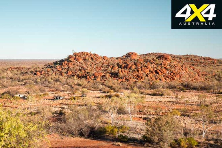
Between the 1890s and the close of the Australia mica mining industry in the 1960s, almost all the nation’s mica came from the Harts Range, while well-shaped almandine garnets attract modern-day fossickers. In the nearby Central Harts Range fossicking area, muscovite, garnets and smoky quartz are just some of the semi-precious stones that can be found.
There’s plenty of opportunity to bush camp among the ranges within these two designated areas, while a few facilities are available at the Spotted Tiger camping area south of the Atitjere Aboriginal community, that can be found just south of the Plenty Highway not far from the Harts Range Police station.
The community also hosts the Harts Range Picnic Races, which are held every August and attract up to 4000 visitors. From our discussions with one of the locals it is a great weekend and one we’ll have to put in our outback calendar for the next trip.
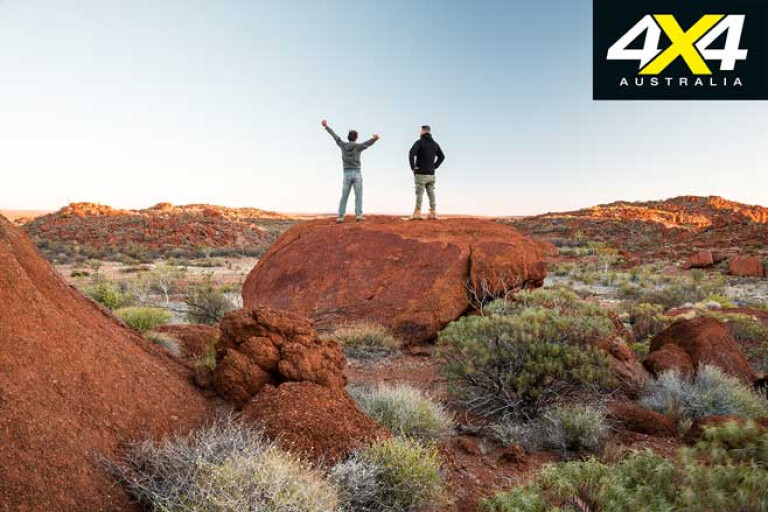
From our fossicking foray we headed for Tower Rock, about 70km north of the Plenty Highway, and one of my favourite places to camp in the whole region. I’ve been here three times before and you really must climb the rock and be there for sunset or sunrise – it’s pure magic!
Not far away was the Boxhole Meteorite Crater, which was a place I had tried to get to in the past but, without permission from the local land owner, I wasn’t prepared to enter the property. Anyway, nowadays there is a public access track that can be found a few kilometres north of the Dnieper homestead access road, so we took that into this rather bland-looking crater (read: hole in the ground) which is, for those with a bent in geology and meteorites, a much more important structure.
First discovered by Europeans in 1937 it was confirmed as an impact crater and described by CT Madigan of Simpson Desert fame. A fair amount of meteorite material has been recovered from this site including an 82kg piece that now resides in the Natural History Museum in London.
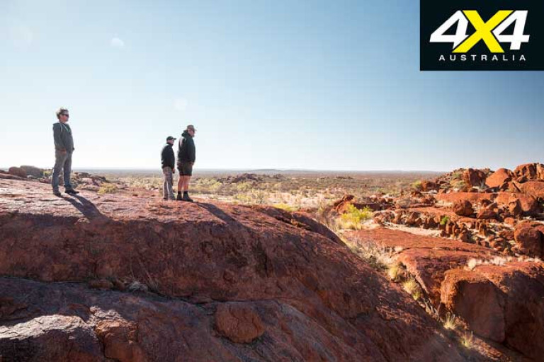
What intrigued Madigan, though, and various researchers since, is that even though this impact crater was probably formed just 5000 years ago, and certainly no later than 20,000 years ago, which is all within the span of human history here in Central Australia, there is no mention of it in any Aboriginal legends nor in dreamtime stories.
For our last night we pulled up at the Mt Swan homestead and threw down our swags. The light was fading fast as a flock of slow, wing-beating and pretty uncommon black cockatoos flew low overhead to roost in the trees along the nearby creek. Then the stars came out in all their glory – it was a fitting end to our wanders through the mountains of Central Australia.
Travel Planner
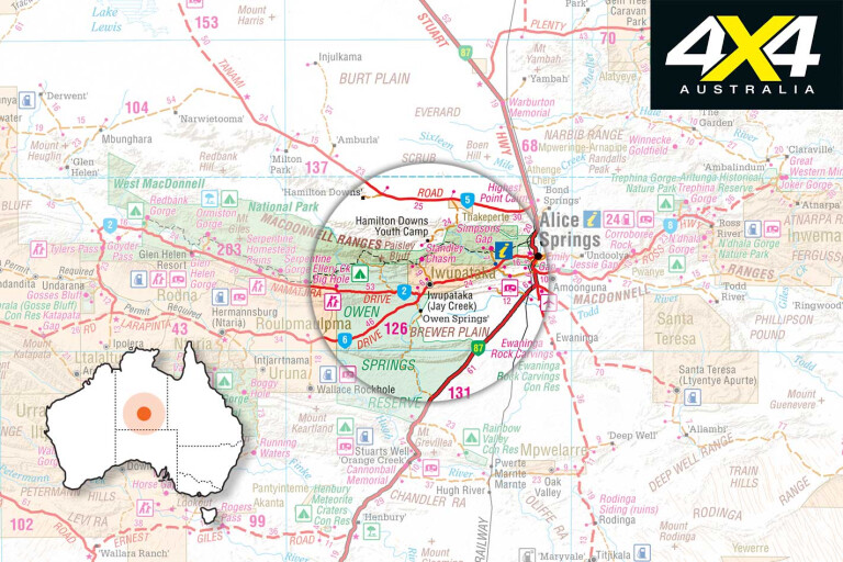
For information on the parks and reserves of the East MacDonnell Ranges, including Tower Rock, go to nt.gov.au/leisure/parks-reserves
Ross River Resort – Camping, accommodation, limited supplies and fuel see: rossriverresort.com.au
Hale River Homestead – Camping and accommodation see: www.haleriverhomestead.com.au
Gemtree bush camp resort – Camping, accommodation, limited supplies and fuel see: gemtree.com.au
Fossicking in Arltunga and Harts Range see: fossicking.nt.gov.au/declared-fossicking-areas
Atitjere Aboriginal community – Fuel and supplies. Camping at Spotted Tiger camping area.
Harts Range Races – Camping, races, rodeo, dance and more see: www.hartsrangeraces.org.au
Mt Swan Homestead – Camping, accommodation, supplies and fuel: phone (08) 8956 9582

COMMENTS