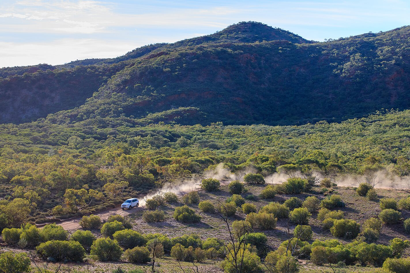
THE West MacDonnell Ranges is written off by a lot of hardcore four-wheel drivers as too pedestrian to bother with.
Sure, there are quality tarmac roads linking most of the major waypoints, but this is a place of breathtakingly rugged beauty that needs to be experienced by every outback traveller worth their salt.
The ease with which one can tour the West Macs makes it a simple, stress-free family touring destination, and there’s always the option for a side trip if you feel like knocking the car into low range.
A SCENIC EXCURSION Having just driven the Oodnadatta Track to arrive at Alice Springs from the south, the dramatic peaks and escarpments of the West Macs took our breath away from the start. The landscape here stood in stark contrast to the gibber plains and gently undulating outback terrain further south, and just a few minutes’ drive from Alice the rocky cliffs soar to dizzying heights at Simpsons Gap.
Here, a short walk through the dry creek bed that carved the ‘gap’ in wetter times delivered us to the money shot, where two ancient folds of rusted rock attempt in vain to reach one another. It occurred to us what a remarkable town Alice Springs is, out here in the heart of our ancient continent surrounded by scenery not unlike what you’d find in remote corners of the Kimberley.
SECRET WOMEN’S BUSINESS Next up we ventured to Standley Chasm and took another short walk to a similarly breathtaking location, where opposing rock faces stare one another down. This is privately owned Aboriginal land, so we paid the $10 per person entry fee and trekked into the natural spectacle.
Traditionally Standley Chasm was a sacred women’s-only site where bush medicine was collected and sacred rites performed; secret women’s business only the initiated can know about. Of course, this set my imagination alight as I took in the ancient pulse of the place, imagining groups of women going about their business here for millennia. These days, Standley Chasm is well facilitated with a café and a camping area, and all money raised goes back into paying the local staff and maintaining the site.
QUIET DESERT OASIS We then headed west along Namatjira Drive, named after the artist Albert Namatjira who, in 1957, became the first indigenous Australian to be liberated from the oppressive ‘ward of the State’ status and granted Australian citizenship. Hailing from the West MacDonnell Ranges near the town of Hermannsburg to the south, Namatjira carved mainstream success through his Western-influenced art. He was the first Aboriginal Australian to be able to vote, build a house and buy alcohol, and his memory is immortalised here in his ancestral country via this main transport artery through the ranges.
Our next stop was Serpentine Gorge. A little more rugged and less visually spectacular than some of the West Macs’ other waypoints, Serpentine Gorge is nonetheless a very pretty and wonderfully peaceful destination. The diminished glamour factor filters out most of the crowds, as does the 1.5km walk into the gorge. That means you’ll find peace and quiet when you reach the semi-permanent water holes within the sheltered, meandering gorge, which attracts birds and wildlife and is perfect for a dip in the warmer months.
There’s no camping at Serpentine Gorge, but nearby Serpentine Chalet is the pick of the West Mac camping locations for those who enjoy self-sufficient bush camping away from the crowds. There are no facilities here and access is by 4WD only, suitable for camper trailers but not caravans. If you’ve been begrudging the backpacker brigade, this is your best bet for setting up camp. There’s some cleared grassy space for camping, as well as shady sites and a handful of fire pits. You’ll need to bring everything, including water.
NATURE’S MAJESTY OUR next stop at Ormiston Gorge was one of the most spectacular. Here the towering red walls of the gorge stand guard over a permanent water hole, estimated to be 14 metres deep. The landscape is vast and open, and in the morning light the rugged escarpments glow blood red.
There are a couple of walks on offer here. One takes you up and around the rim of the gorge before dropping down to the shady, sandy banks of the water hole. The other is a shorter trek to a scenic lookout where a heartfelt ‘cooee’ into the majestic gorge is sure to prove too much to resist.
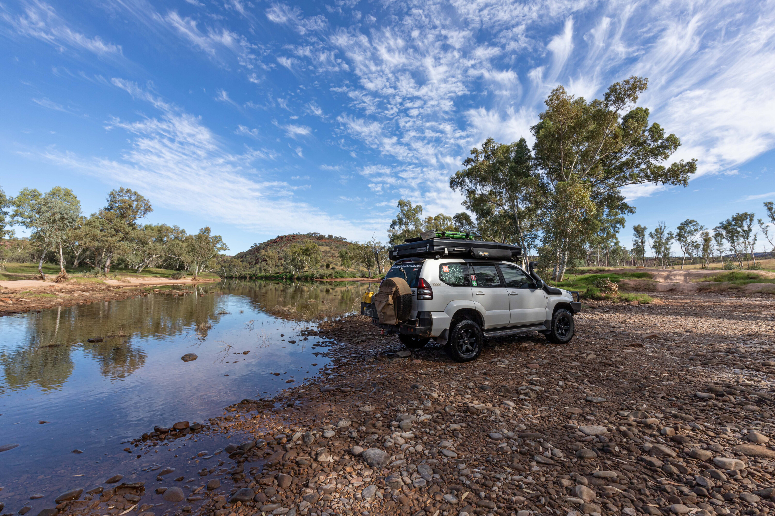
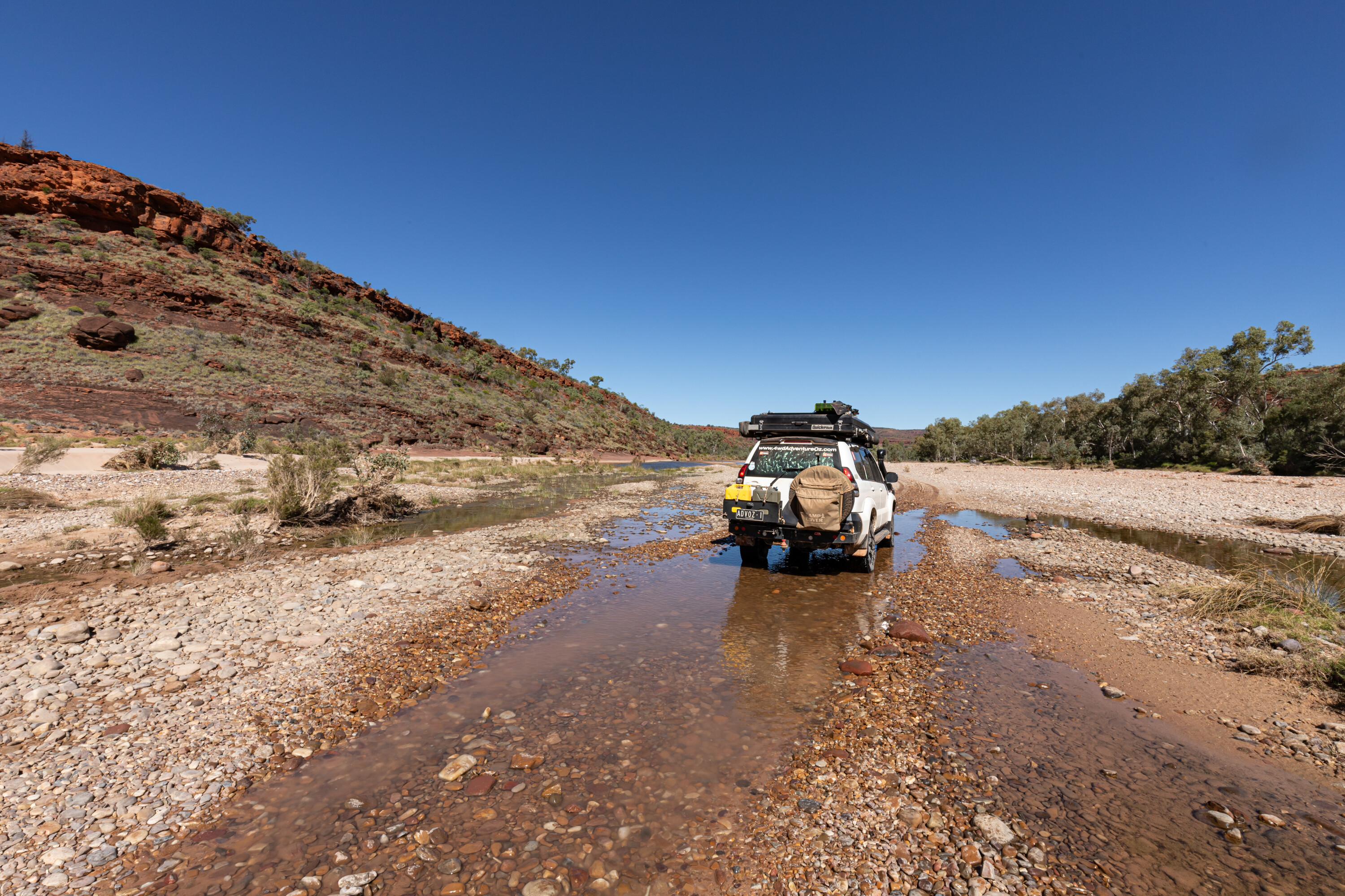
Camping is available at Ormiston Gorge, with great facilities including hot showers and barbecues. But be warned, this campsite gets very busy during the cooler months, so for those after peace and quiet try the nearby Two Mile campground on the banks of the Finke River. Access here is 4WD only and there are no facilities, which weeds out the crowds considerably. There’s plenty of space to camp in undesignated sites, and the riverside scenery and wildlife is incredible.
HIGH AND MIGHTY IF you prefer camping with a view, Redbank Gorge might be the place for you. The two campsites are camper-trailer friendly and have drop toilets, picnic tables and barbecues. We opted for the Ridgetop camp which, as the name suggests, is perched on the precipice of a rocky escarpment overlooking the gorge and Mount Sonder beyond. The scenery from our camp was nothing short of stunning, with rich outback colours dancing across the landscape at both sunset and sunrise.
Redbank Gorge centres around a beautiful permanent water hole divided into sections by the ancient gorge. In the warmer months it’s the perfect place to explore by inflatable boat, where you can follow the narrow channels between the rocks to see how they open up to magical, hidden desert oases. The water hole is a reliable source of life-giving hydration for native birds and wildlife.
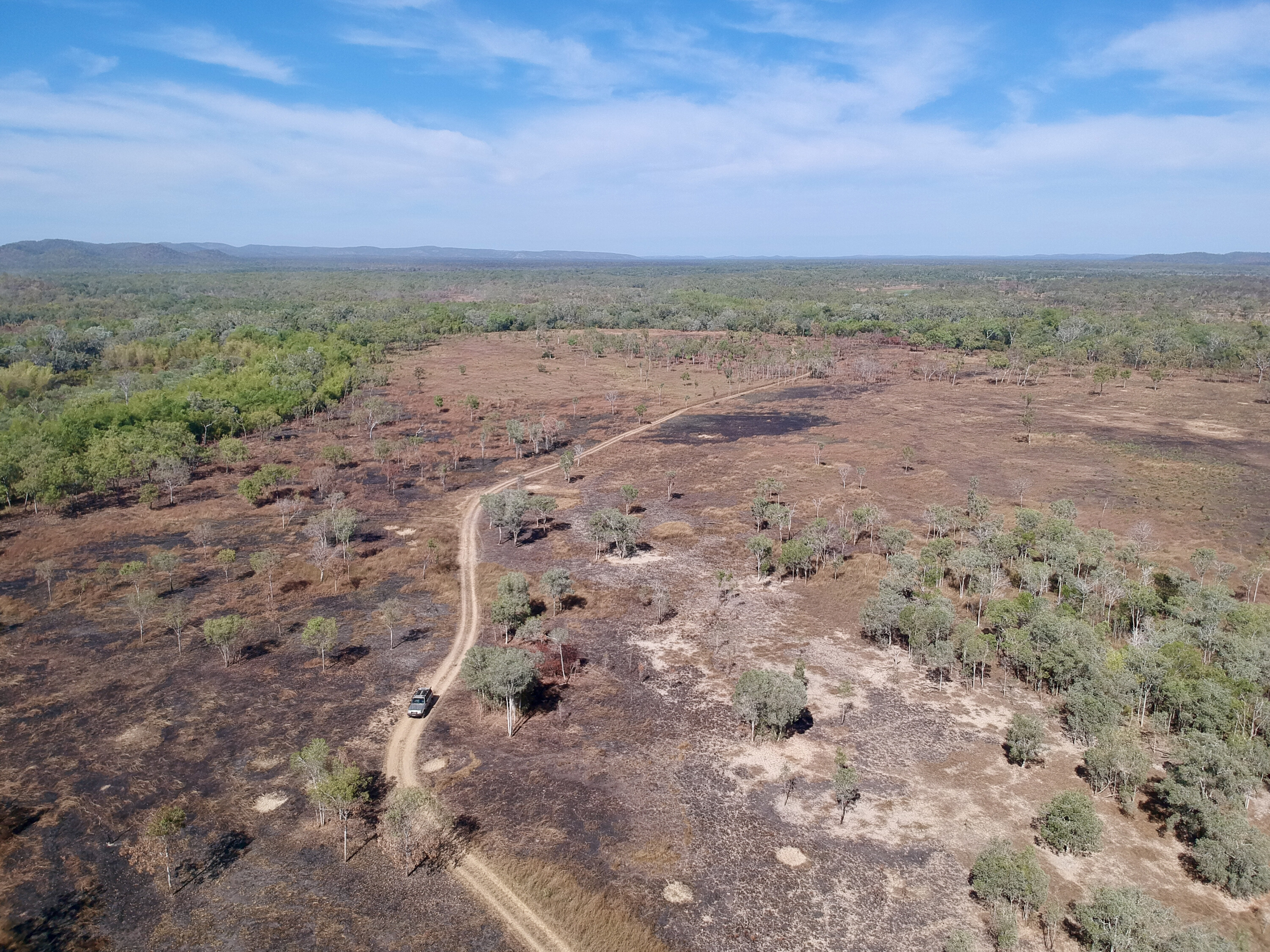
DREAMING AND SCIENCE WEST of Redbank the road is unsealed and 4WD access only, so naturally that’s where we headed. We turned off to the south towards Hermannsburg, crossing the range and entering into the vast, flat landscape beyond. We’d technically driven out of the West MacDonnell National Park, but we had one more not-to-be-missed stop on our West Mac itinerary – Tnorala, or Gosse Bluff.
Probably the most fascinating destination in the region, Tnorala is a series of dramatic peaks that rise out of nowhere on an otherwise flat landscape. Its unusual visual interest aside, the most incredible thing about Tnorala is the remarkable similarity between its scientific explanation and the Aboriginal dreaming story of its creation. The scientific explanation is that Tnorala was formed more than 130 million years ago when a comet measuring 600m across struck the earth with a force 200,000 times greater than the nuclear explosion that destroyed Hiroshima. The impact created a crater some 20km wide, and the terrain there is still 2km lower than the surrounding country.
Bearing in mind this event was long before the arrival of human beings, the similarity of the dreaming story is amazing. According to the local Arrernte people, Tnorala was formed when a group of women were dancing across the night sky as the Milky Way. One of the women placed her wooden baby carrier, a turna, onto the ground, but it fell to earth instead and the impact created Tnorala. It is thought that indigenous Australians were the world’s first astronomers, and this example seems to validate that idea.
FAST FACTS
The West MacDonnell National Park stretches for 250km west of Alice Springs. It comprises the westernmost section of the broader MacDonnell Ranges, which runs for 644km in total across Central Australia.
The Larapinta Trail is a popular hiking track that runs the length of the West Macs. It is considered one of the most scenic walks in Australia and indeed the world, and can be conquered in its entirety or broken down into sections.
What’s your next off-road destination? Find out and explore.

