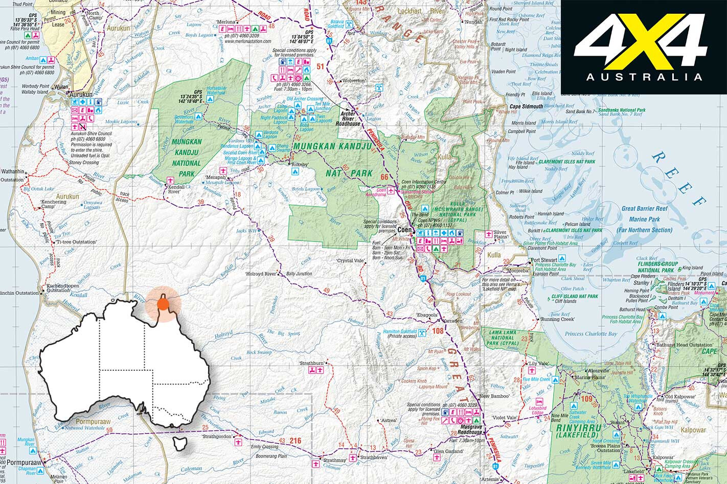
From Rinyirru (Lakefield) National Park you can opt to head north via Olive Vale Station on the Running Creek track to Port Stewart.
The track can be rough and there’s at least one deep tidal creek to be crossed, so it’s best done at low tide – remember this is crocodile country. It cuts through the Lama Lama National Park, though coastal access is difficult as it’s often closed at the whims of the Traditional Owners.
Coen is a historic village, once an Overland Telegraph Line station, but it was ‘rushed’ when gold was found in the surrounding hills. Coen is the gateway to the Oyala Thumotang NP, which is divided into three sections: Langi, Coen River and Archer Bend. The park is bounded by the McIlwraith Range to the east and open monsoon woodlands to the west.
There are many wetlands and two rivers – the Coen and the Archer – in the park which feed huge swamps, billabongs and permanent river and creek pools. In the Langi section the Archer River dries up late in the Dry, though the Coen retains many permanent pools rich in barramundi, saratoga and sooty grunter.
Boat access is possible by launching from the banks into big billabongs that are scattered about the woodlands.
Park information and camping permits are available at the Coen National Park ranger station north of town, and they are a great bunch of people who are always willing to help and assist. Let them know when you will return just in case something bad happens, and don’t forget to tell them when you’re back.
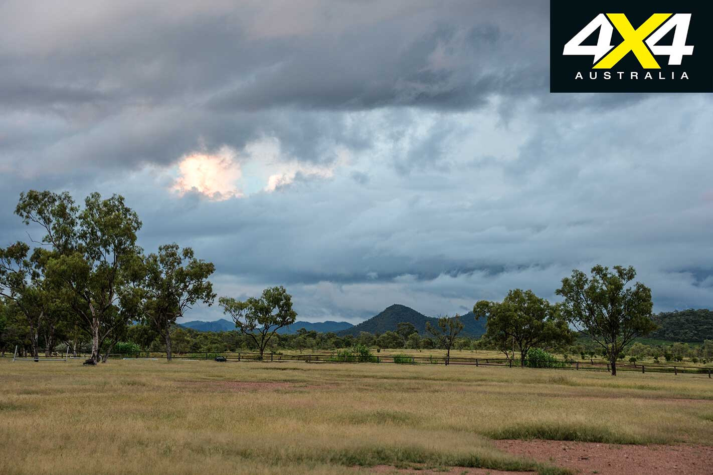
The park is under-utilised for what it is, being one of the most remote and adventurous destinations on the Cape – a custom-made escape for those who love to get away from the masses and spend quality time enjoying the wilderness. Most of the billabongs and sections of the rivers have good bush camping sites. There are no facilities.
I have camped on a billabong here for days, catching and releasing dozens of fish daily. Every morning is magical when one wakes to the calls of myriad birds which never cease to amaze in their diversity of species and numbers, especially toward the end of the Dry when the gallery forests that line the watercourse are in bloom or fruiting.
It attracts many fruit-eating species and migrating cuckoos, Torres Strait pigeons and brilliantly coloured fruit doves. It’s this reason why most visitors are keen birders.
We once had a big, old rangy boar wander into our camp, attracted I suppose by the fillets of barra’ cooking on the grill. I used my Land Cruiser to drive it away from the camp, but he returned in the afternoon with his family – at a time when a visiting elder (a park ranger) dropped in for a yarn and a beer. He had a rifle…
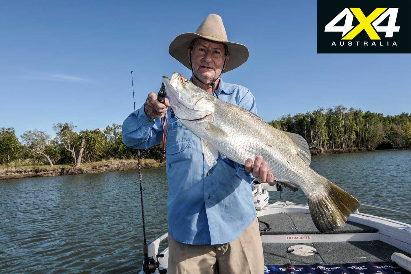
The Archer Bend section ends at the far western end of the track, on the flood plain of the tidal section of the Archer. It has amazing barramundi fishing and, best of all, you and your party are most likely going to be all alone. The Old Archer River Crossing (or Langi Crossing) is popular and was once the original route to the Tip.
Drop in at the Coen Museum, once the old telegraph station, and see the heavy iron-clad boat once used as a ferry when the river was used by linesmen and travelers.
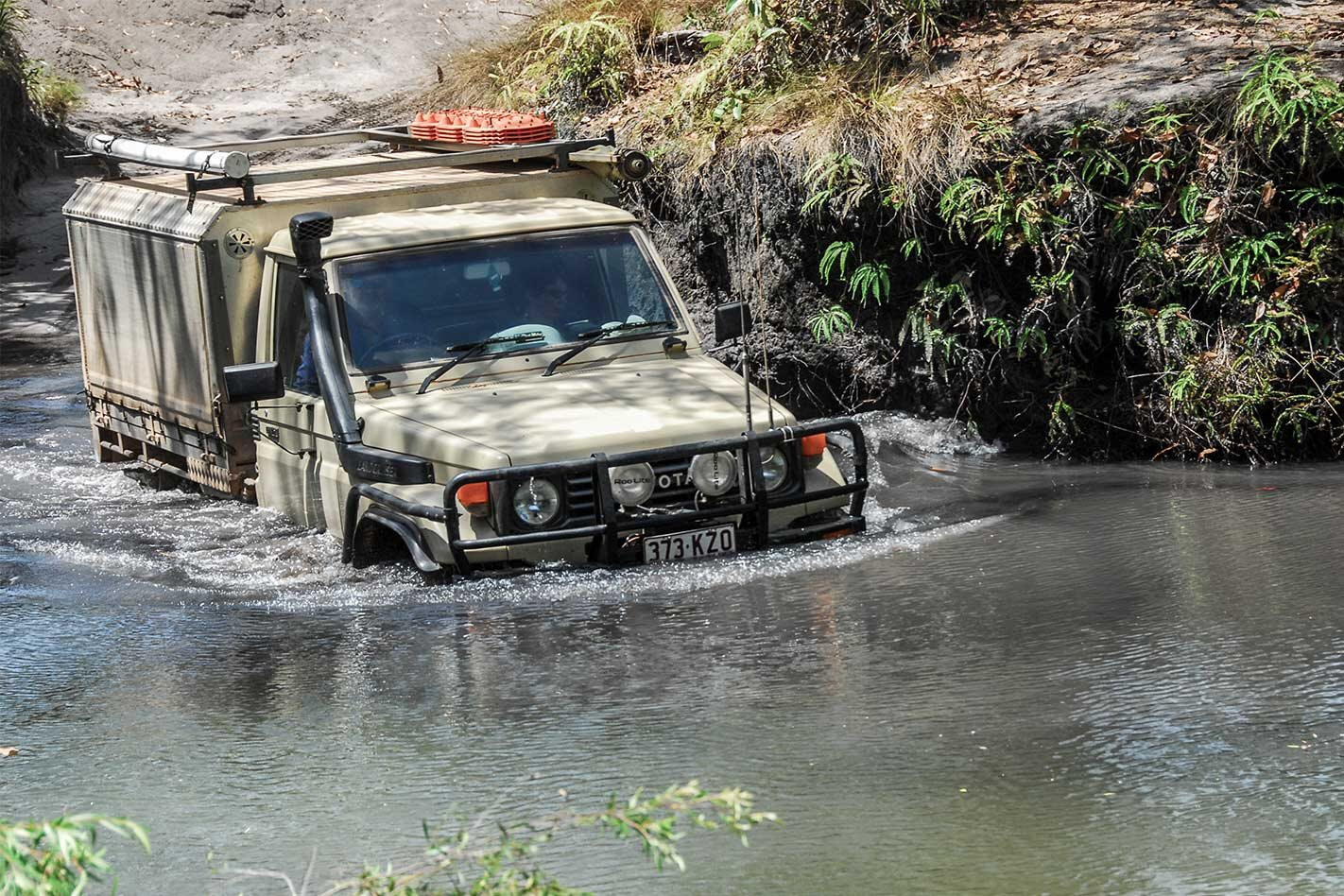
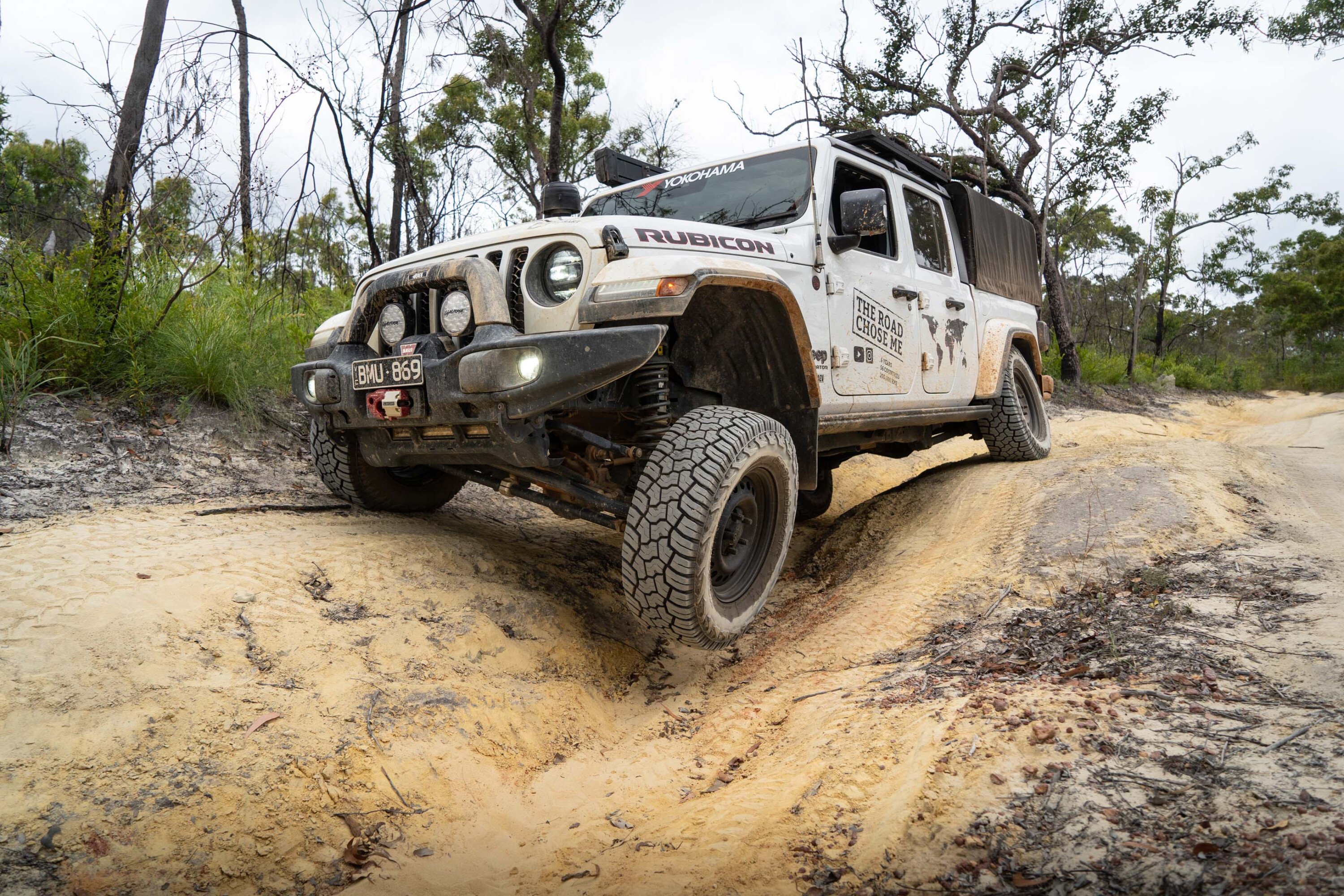
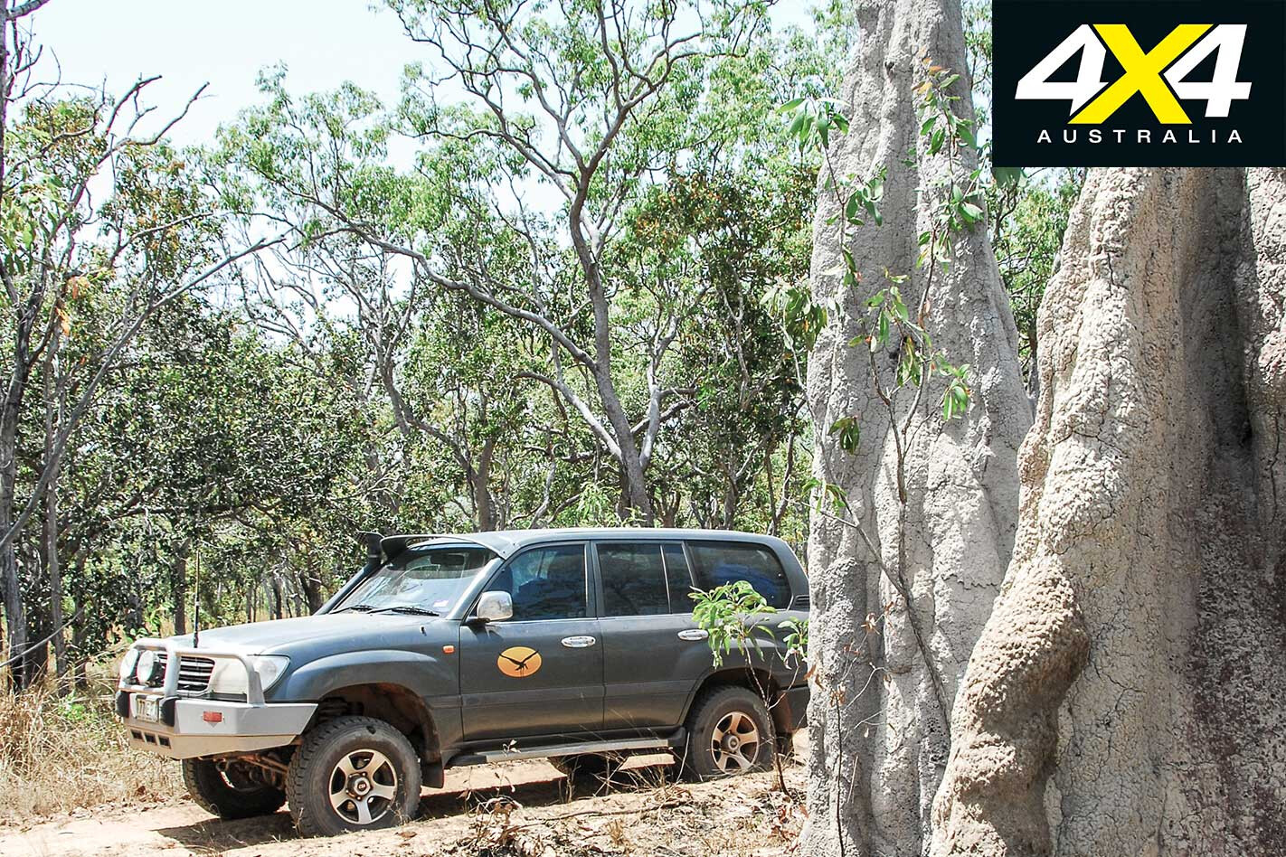
The park tracks are in fair shape, though cyclones and burning often drops big trees across tracks, making the tracks sometimes impossible to pass. A four-wheel drive is highly recommended, while towing a trailer or caravan shouldn’t be a problem. There are no nasty surprises if you take care, apart from crocodiles and the odd snake … of course.
Kutini-Payamu (Iron Range) National Park
Just up the road a bit from Coen, and after a “short” detour from the Peninsula Development Road (PDR) to the east coast, is my favourite national park on the Cape: Kutini-Payamu. In line with many parks and reserves on the Cape – indeed, across Australia – Traditional Owners are insisting on naming joint-managed parks by traditional names.
This sounds well in theory but it’s often changed at the drop of a hat when a new committee takes over and insists that “their” name should replace the former one. Even communities are not immune on these map-changing decisions. Welcome to Indigenous politics…
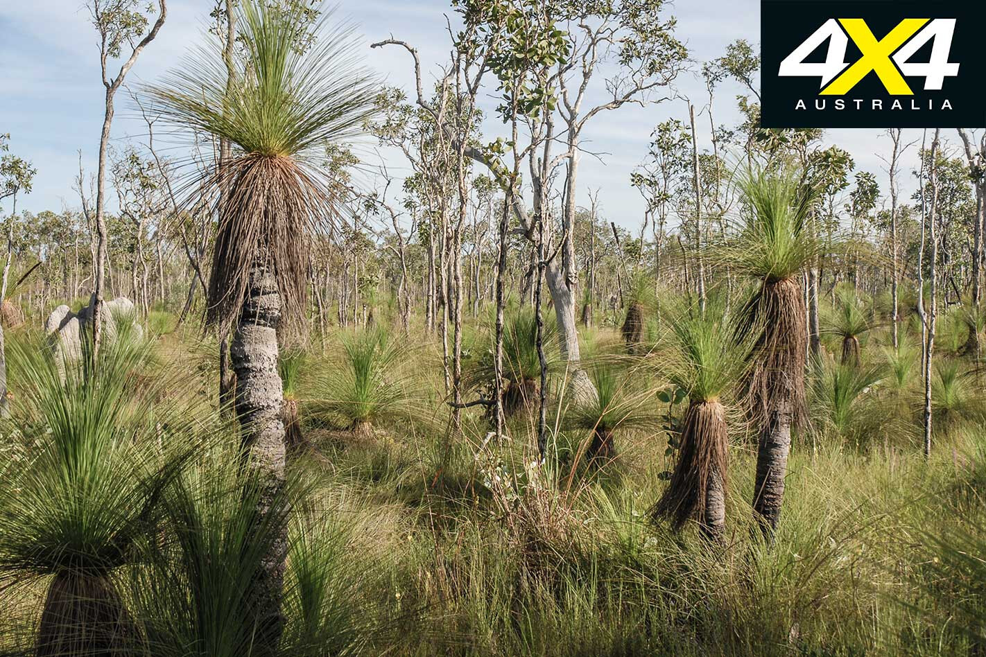
The vast Iron and Tozer Ranges have the largest low-land rainforests in Australia. This encapsulated park has huge patches of heathland scrub, monsoonal woodland and rainforest, palm-clad beaches, permanent rivers and creeks, hills, flats and wetlands.
It’s the noisiest park on the Cape, alive day and night with the sound of birds. Most of the noise comes from the cockatoo-sized eclectus parrots, who constantly call out to each other during the day, along with myriad fruit-eating birds: doves, cuckoos, shining starlings, yellow fig birds and orioles. The park is a refuge for much wildlife that only inhabits the Cape and New Guinea.
Tree-nesting hollows are rare enough for the eclectus parrot to claim one permanently as their own, and some birders claim the parrot will even stoop low enough to steal the nest from another couple. To ensure this doesn’t happen, the female remains in the nest or close by while the male is out on the hunt for food. To ensure he doesn’t stray she calls out to him every few minutes, and he returns the call as any good hubbie should.
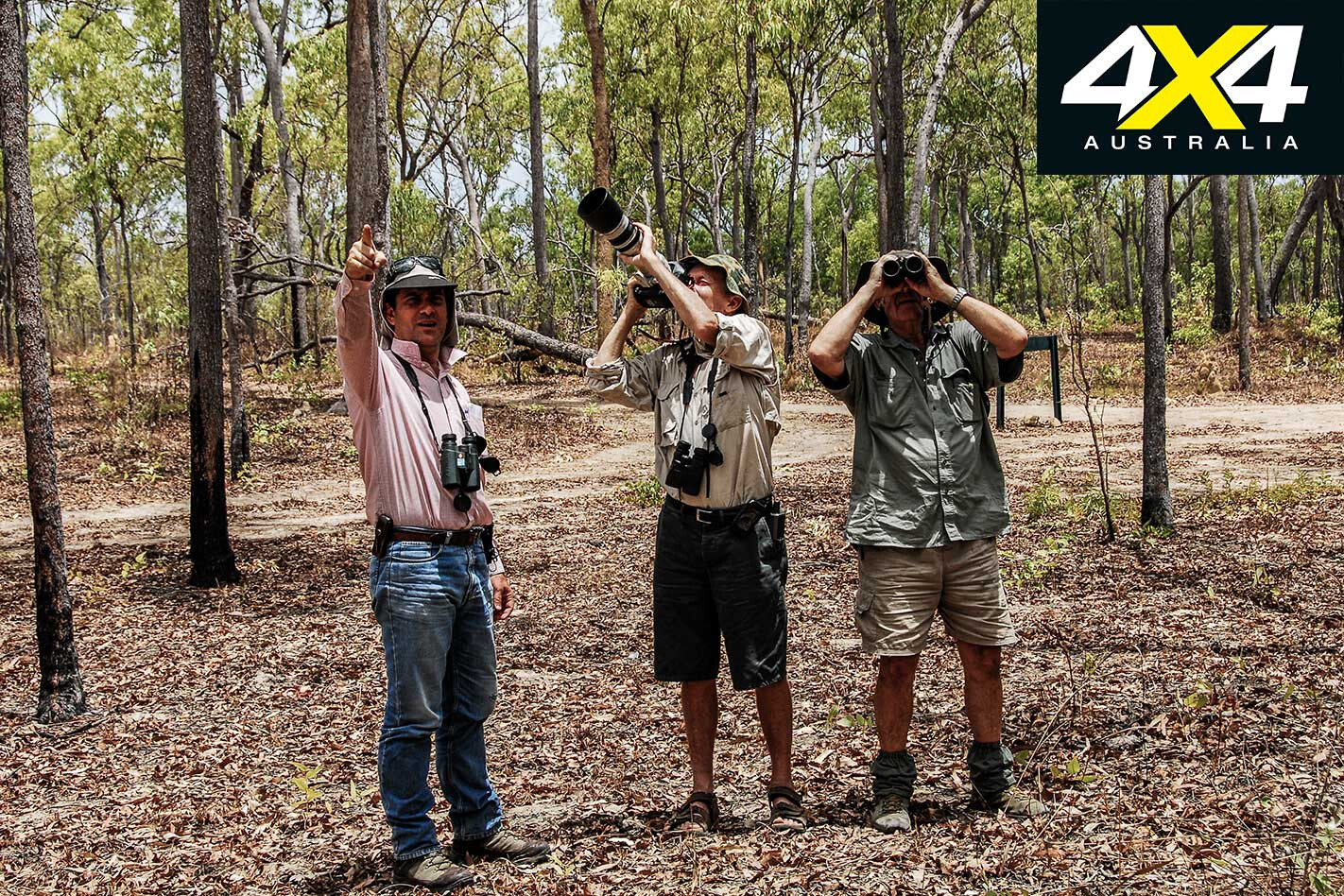
Take a pair of good field glasses and scan the tallest trees, where the hollows generally are. The Lockhart community road is a good spot, while a nesting pair can be found about 100m north of the ablution block at Cook’s Hut campground.
There are several campgrounds in the park under the canopy of the lush rainforest. Each one has walking tracks, including a day walk along the old Portland Roads Road that parallels the current road. It’s a great spot to see rare green pythons, palm cockatoos and eclectus parrots.
Camping in rainforests isn’t to everyone’s liking, and many people head to beautiful Chili Beach. The beach sites are located beneath relatively open gallery rainforest, behind coconut palm groves that line the entire beach.
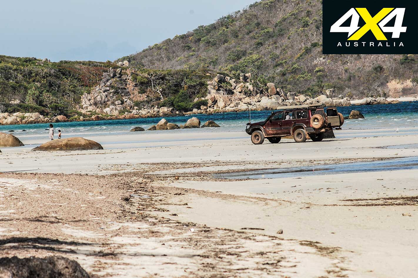
When the trade wind blows it can be very windy, which is one reason not to camp beneath a coconut tree or in an exposed wind-blasted area. When benign, Chili Beach is a wonderful spot to wade or laze about in shallow water, fish or just relax with a coldie.
The little rocky islets in front of the campsites are roosting sites for thousands of shining starlings that wheel and dance in noisy formations at sunset. They arrive in October from New Guinea to breed, and they depart in April.
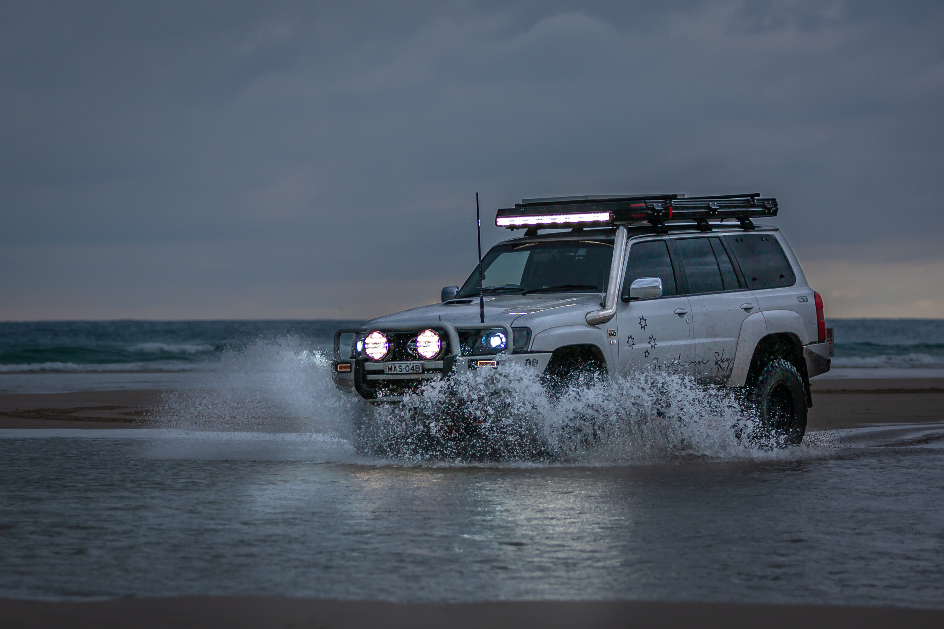
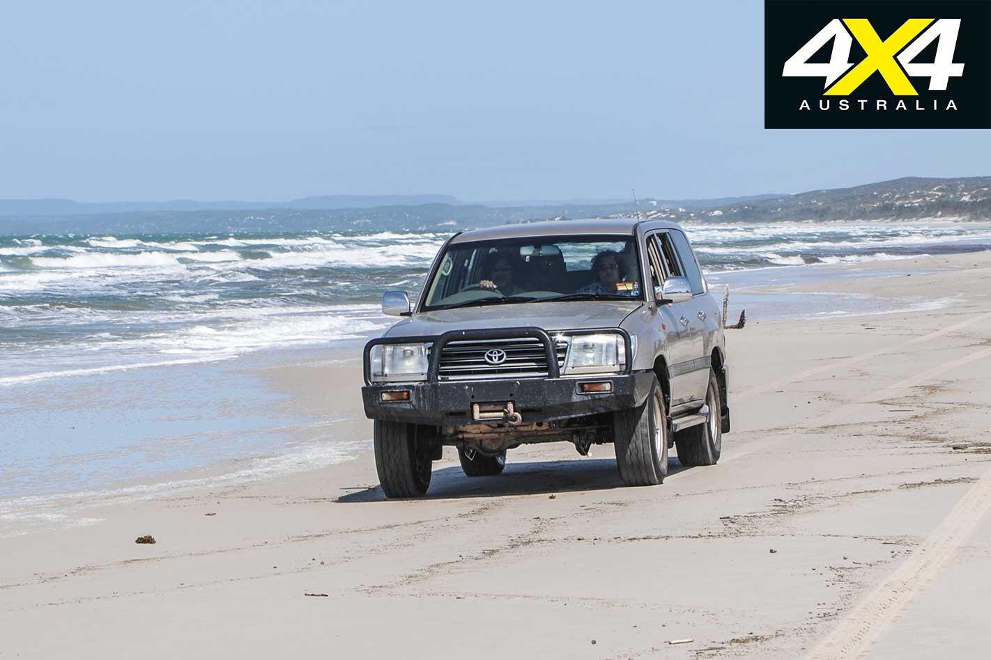
You can drive to Chili Creek when the tide runs out, but ensure you’re off the beach when the tide runs back in. Stay on the damp sand (the tidal zone) as the upper beach areas are used by nesting turtles and sea birds. This is common sense that applies anywhere, really, when driving on beaches and dunes.
Lockhart River Community is a dry zone. It has a store, fuel, a medical centre, a police station, and a ranger station en route to the airport. The Iron Range airbase was constructed in 1942 and home to the US bomber group, the Jolly Rogers. They saw extensive service during the war, including the Battle of the Coral Sea.
Concrete pillboxes, ammo storage bunkers and other relics are hidden in the rainforest before reaching the airport, and there is also a motel nearby.
Operation Blowdown
On July 18, 1963, a vast section of Iron Range was turned into ashes. Only grey, ghost-like stalks of what were once stately rainforest giants remained skeleton-like, after the Australian Army set off the biggest explosion ever in Australia (up to that period). Some 41 tonnes of TNT was piled on a 41m high tower and exploded at 8.30am. It was observed from an observation post at Mount Lamond, 5km away.
The blast destroyed everything within a 300m radius, with far-reaching damage beyond it. No one spared a thought to what they had just done to a rainforest that had withstood thousands of years of evolution – gone in a split second, along with its entire animal population. It opted one observer to note that the area once known for it taipans “was now cleared”.
Three-Ways
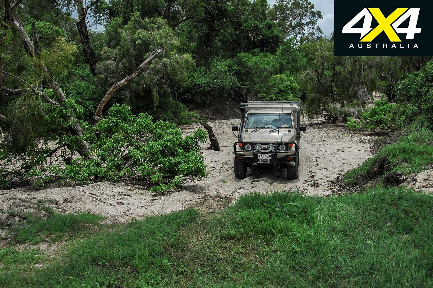
The Portland Roads junction at the Lockhart River Community turnoff is known as the “Three-Ways” by locals – the junction to Portland Roads Road, Lockhart River and the PDR. You have the choice of heading back to the PDR, or taking the Frenchman’s Track.
The turnoff is 27km west from the Three-Ways junction and is only suitable for experienced 4WDers, especially when traveling alone. The Pascoe River crossing is often impossible early in the Dry season, as is the Wenlock. It’s a nice drive across heathland, though, with open panoramic views of the hills and ranges in case you need to return to the Portland Roads Road.
Batavia National Park
This park is opposite the Moreton Telegraph Station Roadhouse. The park is currently in the doldrums waiting for a plan of management and a CYPAL agreement – as several others are, including the Olive River dune field. Keep an eye on their future development as it may give you another reason to go back to the Cape.
Heathlands resources reserve & Jardine River National Park
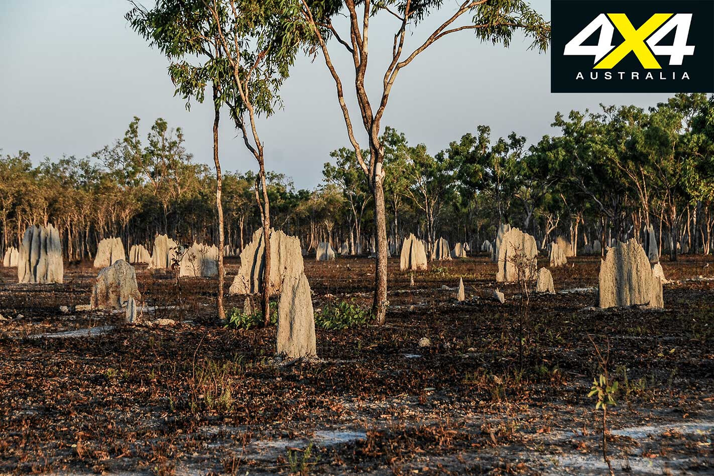
It never ceases to amaze why the National Parks authorities named this amazing region ‘Heathlands’ and ignored the historic ‘Wet Desert’ name bestowed upon it by the Jardine Brothers during their epic drove with cattle and horses from Rockhampton to Somerset in May 1864.
The onset of the Wet season overtook them on the Mitchell River, and they named this sandy heathland region the Wet Desert because, even after 10 minutes after heavy rain, there wouldn’t be enough water for stock to drink. They were on the road for five months and rode more than 2700km, a drove that has never been matched considering the conditions they encountered.
The Heathlands Resources Reserve was established when Heathland Station was abandoned by the Shelburne Pastoral Company, and much of the land was cleared by the company and seeded with “improved” pastures. A barge landing was constructed at Captain Billy Landing, from where beef was supplied in 1972 to the company’s abattoirs at Seisia and Weipa. For all practical purpose the reserve and the Jardine NP are the same and comprise some 366,000 hectares.
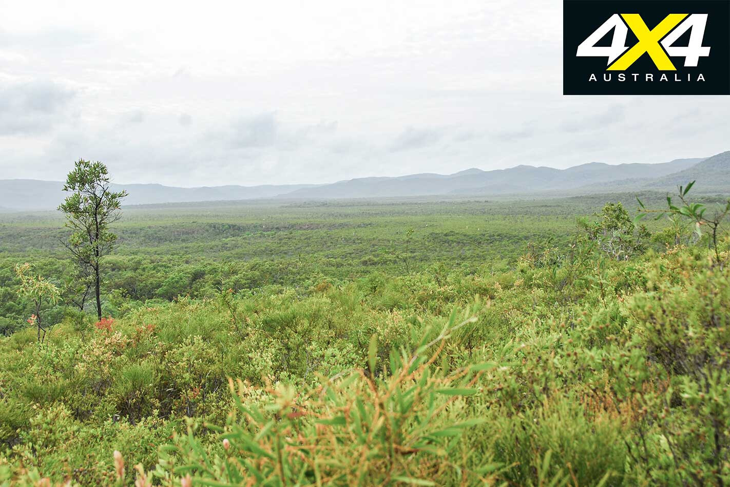
Captain Billy is a nice drive that tracks mostly under a boulevard of rainforest before breaking out above cliffs that overlook the Coral Sea. It’s a great fishing spot when the sea is calm, but it’s not that nice when it’s blowing froth off the waves. There is a shelter – on a first come, first serve basis – on the beach, but here is no shade in the campground, as the wind blows the trees away.
The Old Telegraph Track (OTT) marks the western border of the reserve and the national park, while to the east is the Coral Sea. No camping permits are required if you camp on the track or to the west of it, but the old Jardine River is in the park and requires a permit.
This is a very diverse region and the wettest place in Australia, with more streams born here than anywhere else on the continent. Most streams are lined with verdant gallery monsoonal rainforests alive with vociferous birds, while heathlands cover much of the sandy soils and sand dunes nearer to the east coast. Patches of monsoonal rainforest dominate the Captain Billy track and along the Bamaga Road.
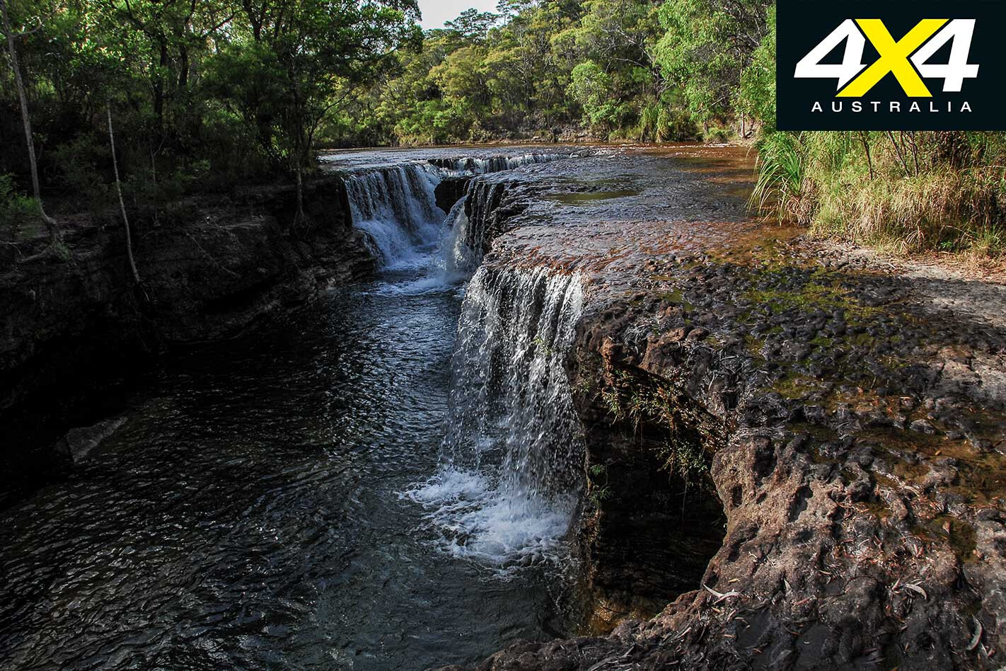
There are several tracks in the park that end at remote attractions, but the most popular routes end at the many watercourses that are crossed on the OTT. The best are Fruit Bat Falls, Eliot and Twin Falls on Eliot Creek. All offer safe swimming, apart from the bottom of Savo Falls where crocodiles have been seen there – but people amazingly still ignore the warnings. Savo Falls is a short walk below Eliot Falls.
The area is known for its unique flora (especially insect-eating pitcher plants), mammals, reptiles and myriad birds. Camping in the Eliot campground is at a premium during the peak season between June and August, with the masses camping on Canal Creek north of the campground on the northern OTT section.
The Jardine River is the largest perennial stream in Queensland. The Jardine National Park is true wilderness, and camping on the river is something you must do when on the Old Telegraph Track. Yes, you can laze in the shallows to cool down, but avoid the deeper parts where crocodiles live.
The fishing can be outstanding, or it can be extremely frustrating when the barramundi, sarotoga and sooty grunters ignore the bait and lures in the crystal-clear water.
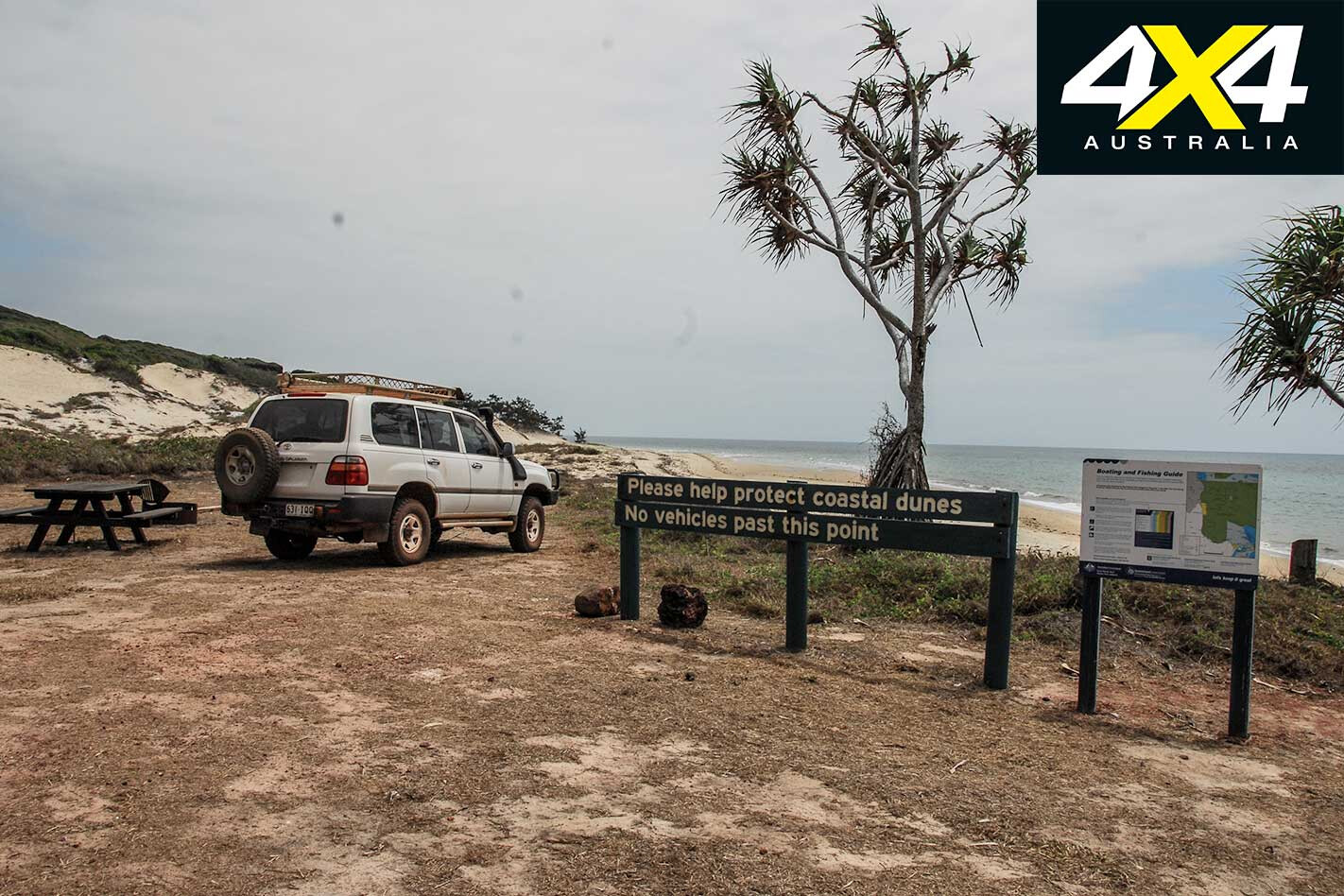
Across the river, the Usher Point Track – experienced 4WDers only – ends at the Coral Sea. The track north to the Kennedy River is overgrown and impossible to traverse, while the once popular beach route to Captain Billy Landing is now blocked by a man-made rock fall that stops all progress.
The rock fall happened after authorities risked life and limb rescuing some idiots that got stuck there. No one is claiming responsibly for this “fate of nature”.
There you have it, the national parks of the Cape York Peninsula. There are none across the Jardine on the Northern Peninsula Area – even though the Narau Beach Track and the Lockerbie Scrub tick all boxes – and the Traditional Owners haven’t shown any inclination to consider it. This is a shame, really, as it would protect these rare jewels for future generations.
