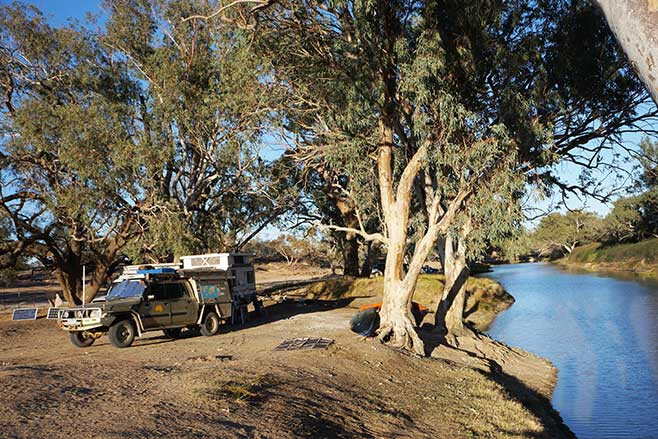
THE TRACK ends quite suddenly, the line of trees marking the channel of the north-west branch of the Cooper Creek barring progress any further northwards.
To the east a low ridge of sand blocks any expansive view while behind the screen of trees to the north and west there’s often a duct of muddy shallow water, a hangover from the last flood that had oozed down this outback waterway.
We were at the most northerly camping spot in what is now the Malkumba-Coongie Lakes National Park. The route to the park and the campground had only recently opened (September 2019) after being closed for some months after a flush of water had found its way down through the Channel Country of South West Queensland and into the Cooper Creek.
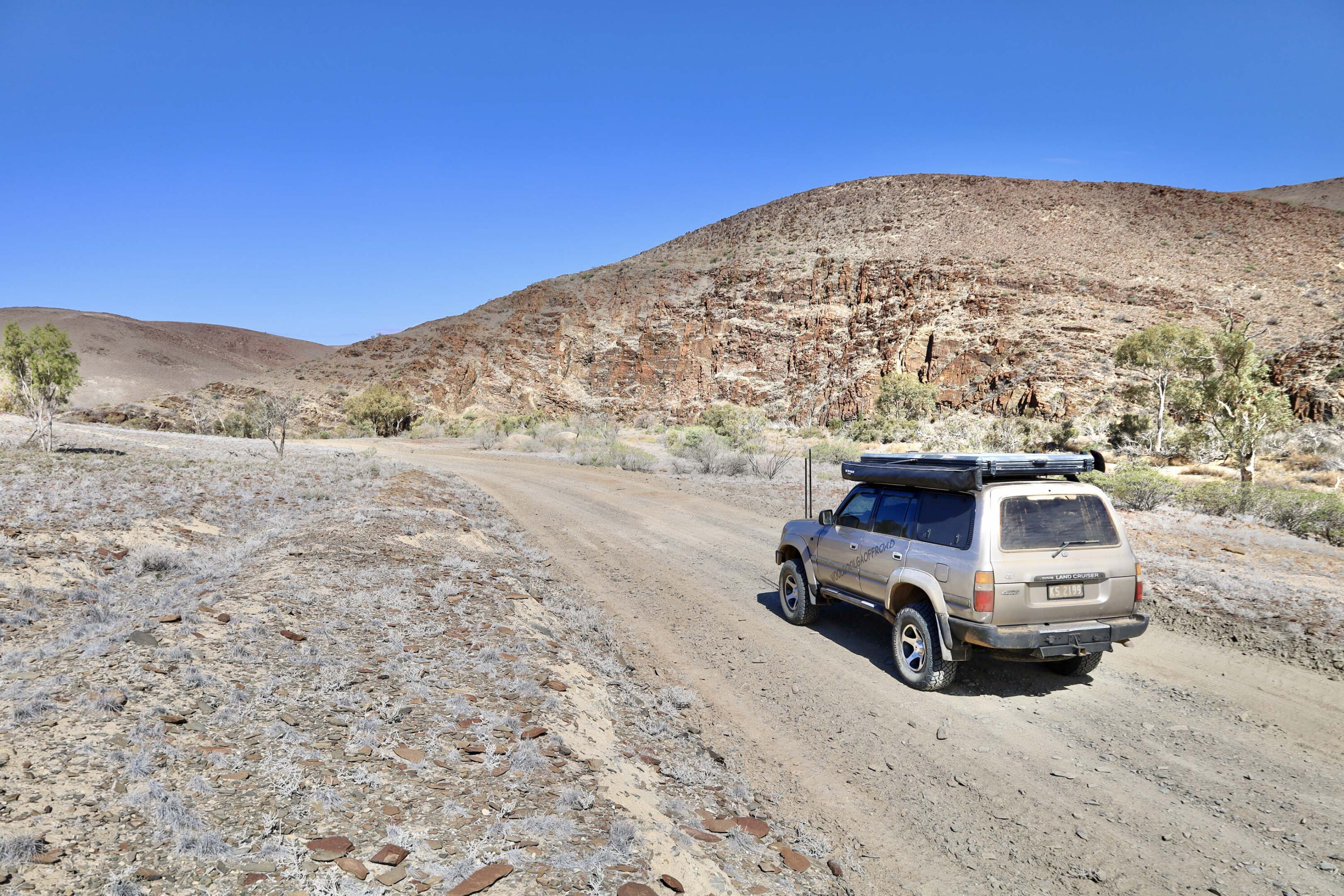
I had been at Arkaroola in the Flinders Ranges of SA when I heard the track to the lakes was finally open so without any further ado I headed across the flat plains that border the eastern edge of the ranges and onto the Strzelecki Track.
Montecollina Bore
I can’t travel this route without stopping at Montecollina Bore though, one of the rare permanent water spots, albeit manmade, along the way.
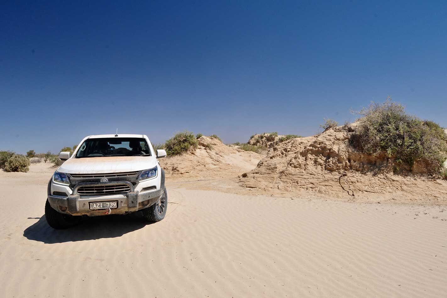
Surrounding this life sustaining waterhole, where huge flocks of white corellas sit under any shady spot aloof from any passing cars, are the Cobbler Sandhills where the dunes of the Strzelecki Desert have been replaced by steep-sided mounds that are topped with tough wiry vegetation.
In days gone by this area of the desert was extremely challenging for vehicles to get through, and the shearers, who were the main people to travel this route, gave it the name ‘Cobbler’, which referred to the most difficult sheep in a mob to be shorn.
Strzelecki Track
Crossing the dry bed of the Strzelecki Creek a little further north I shunned the main dirt road that is often dusty with the passing truck traffic and turned onto the original Strzelecki Track near Merty Merty homestead.
This lesser used route follows the creek northwards to Innamincka and while it’s no less dusty, maybe even more so, at least there are fewer trucks roaring past. Along here you’ll drive by the nodding arms of beam pumps drawing their liquid gold from deep underground.
Innamincka
It is at Innamincka that the Cooper splits into three main courses of braided channels, the main stream draining southwest towards a distant Lake Eyre (flows occasionally), the Strzelecki flowing south (flows rarely), while the north-west arm of the Cooper flows towards Coongie Lakes, the more common way for the water to flow.
Which way the water goes all depends on how deep the water is over the causeway at Innamincka and over the natural sandbars that are at each of the creek junctions.
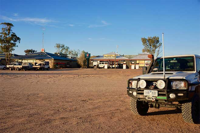
After a stopover at Innamincka to get some supplies and a camping permit I headed across the Cooper, the causeway now dry, and turned onto the road to the local racetrack and the Innamincka station trucking yard.
Innamincka Station was established in 1872, about 10 years after Burke and Wills had met their fate a little downstream along the Cooper. The homestead is just a few kilometres north of the present-day Innamincka township, while the property itself covers 13,800km² of the surrounding Innamincka Regional Reserve, which had been established in 1988.
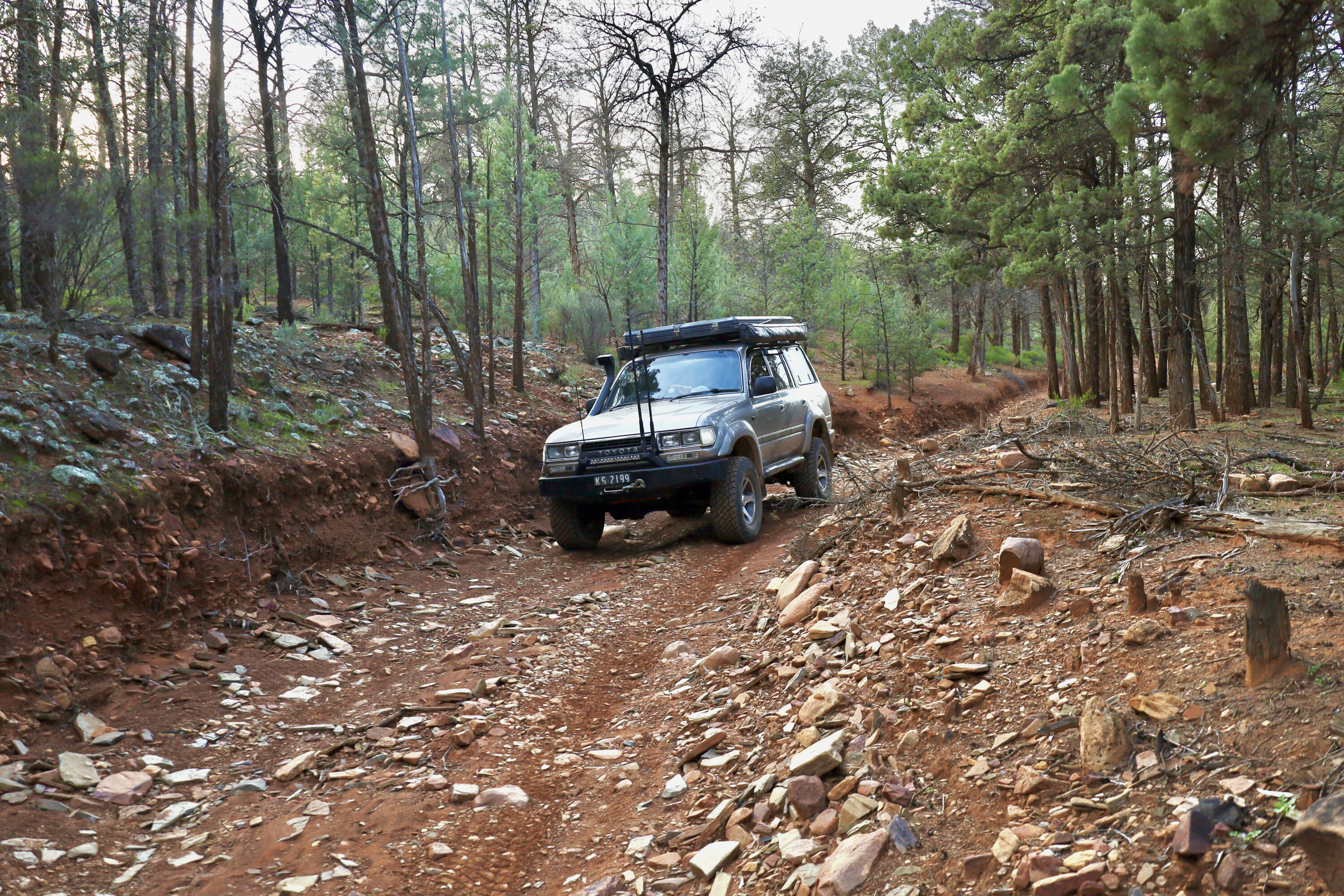
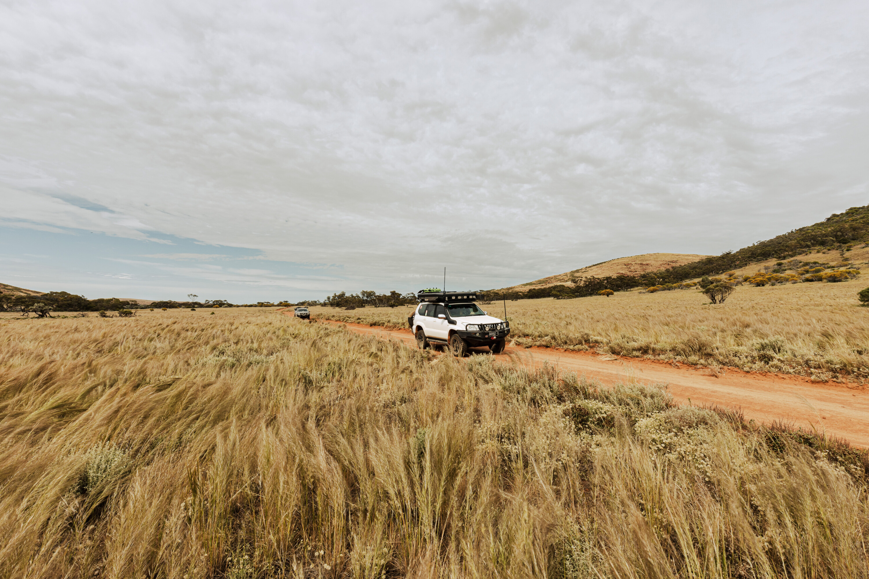
Cattle grazing and gas and oil production are allowed in the reserve, so you’ll find fences, cattle, watering points, and a lot of signposted tracks leading to distant oil and gas wells and pumping stations (all closed to the public) as you head towards Coongie.
Coongie Lakes NP
In 1996, Coongie Lakes and the popular Cullyamurra Waterhole, the latter just a short distance from the township, were fenced and cattle excluded from these areas. In 2005 the Coongie Lakes NP was proclaimed, its name changing to its current moniker in 2014.
The national park covers an area of 26,661ha, and while there are a number of ephemeral lakes in the area, Coongie Lake itself is the largest and the first one to receive water flowing down the NW branch of the Cooper.
When water flows this far north the internationally significant wetlands, listed under the Ramsar Convention, not only includes the lakes but also interdunal swamps, billabongs, channels and shallow floodplains that border the creek and major lakes.
Just as you get to the park you’ll come to Kudriemitchie Outstation which now operates as a base for researchers and has been restored with help from the Toyota Landcruiser Club of SA; well done guys. Nearby along the north-west arm of the Cooper you’ll find a few shady spots to camp under a crowd of old river red gums close to the water.
The lakes and waterways you find here are a wildlife haven with more than 200 species of birds reported from the region. At times, like now when the lakes are brimming with water, the sheer number of birds is fantastic, with a figure of more than 100,000 birds being present on a number of occasions. At peak times up to 50,000 pelicans nest here while up to 20,000 grey teal and pink-eared ducks come here to breed.
Numerous species of native animals can also be found here including red kangaroos, dingos and even the Rakali, which we once knew as the native water rat. Reptiles include turtles, numerous snakes (luckily rarely seen) and lizards of all shapes and form.
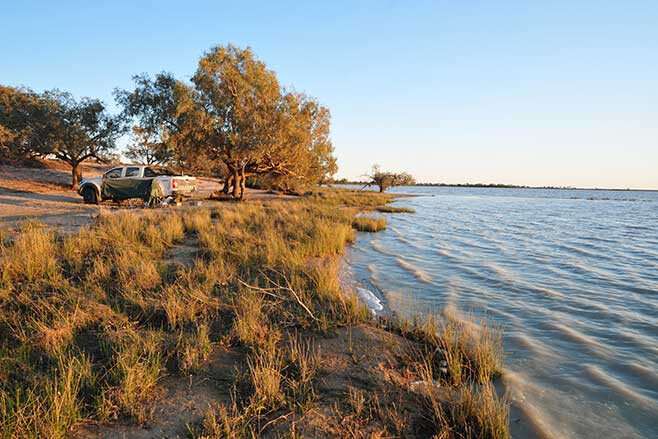
I backtracked a short distance from the formal campground and took the track around the southern shores of the lake. Here you’ll find more secluded camps close to the lake’s edge which I reckon make for a whole better experience.
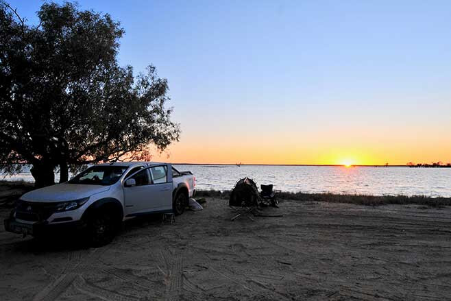
There were a few birds around but nowhere near as many as there will be when the Cooper and its adjoining floodplain and pans dry out over the coming months. Then they will come together at this near-permanent spread of water in one of the great wildlife congregations you’ll see in Oz.
While there weren’t many birds on my recent visit, a couple of birds of prey circled overhead. Sitting under a shady tree in a parched desert with water lapping at my feet though was bloody enjoyable … and a little surreal and a whole lot magical.
Make sure you get to experience it while you can!
Essential information
Malkumba-Coongie Lakes National Park is located 100km northwest of Innamincka.
A campground with toilet facilities is located at the creek at the end of the track. Camping is also available around the lake’s edge.
Kudriemitchie campground is located on the southern edge of the park and campfires and generators are permitted here.
Elsewhere in the park, wood and solid fuel fires are banned, as are generators and chainsaws. Motorboats and fishing are not allowed in Coongie Lakes.
Camping fees apply and you must book in advance HERE.
There is no mobile phone coverage in the park and no other facilities so be well prepared. And while there may be a lot of water, you’d probably prefer some cleaner stuff for drinking!

