ARKAROOLA, in South Australia’s far north, with its rugged ranges and rich ochre colours, has always been one of my favourite destinations.
This was first published in 4×4 Australia’s May 2013 issue.
I dropped in for a couple of days on my way south from the Simpson in 2011 and was amazed at the changes the highest rainfall for 20 years had brought to the area.
From Copley near Leigh Creek, my trip took us east into the heart of the northern Flinders Ranges, before heading north in search of the more scenic route through the Vulkathuna-Gammon Ranges National Park which borders Arkaroola.
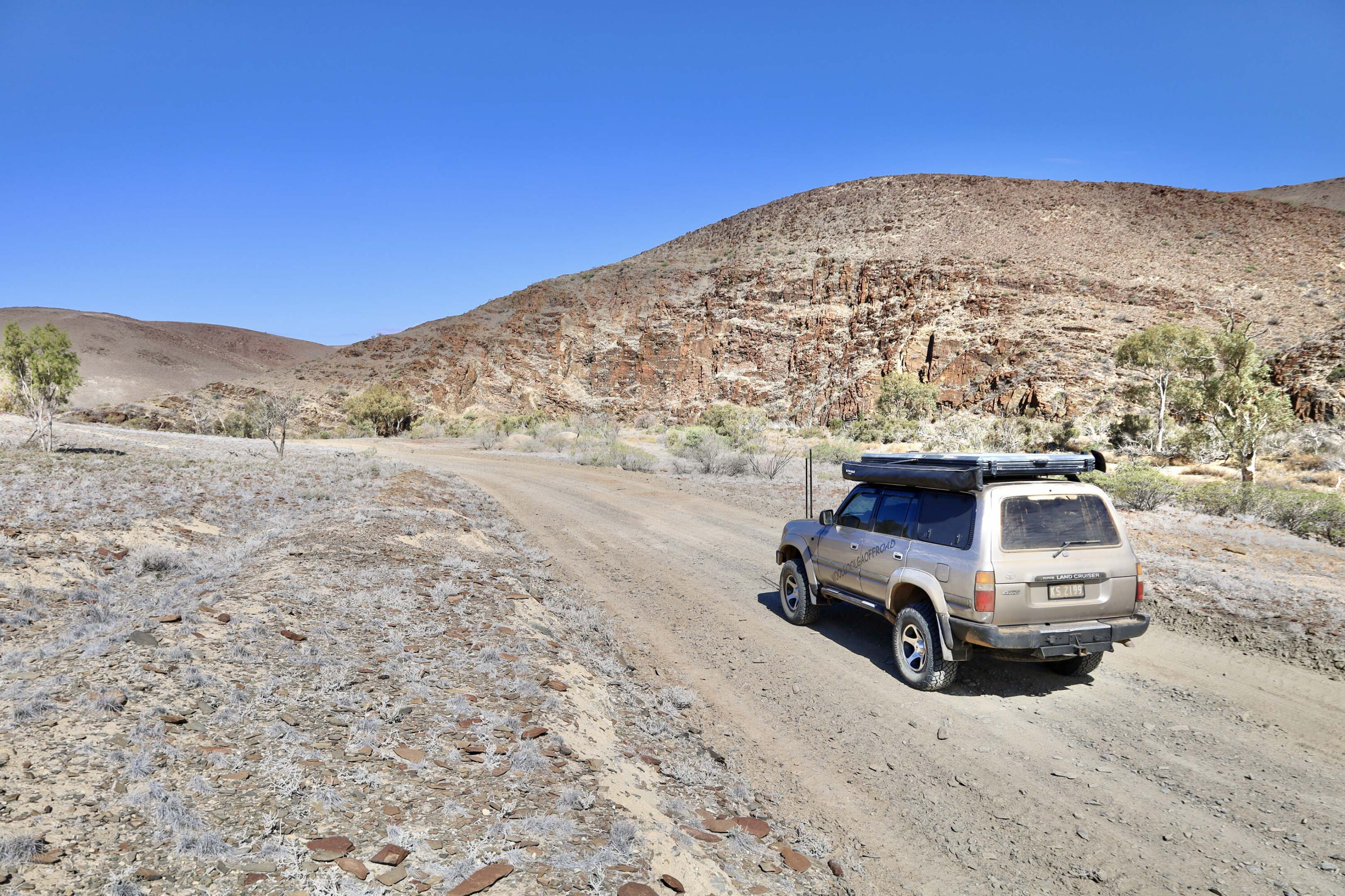
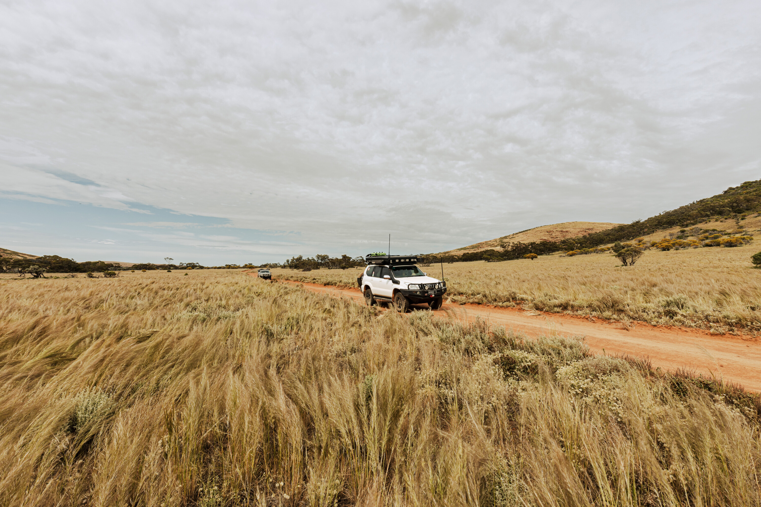
A good gravel road bounded on the east by a high range marking the edge of the park winds through rolling hills to Yakaninna Station.
Continuing farther north on this road would have seen us at the western boundary of Arkaroola and, while our maps showed our intended route from Yakaninna to the Gammon Ranges National Park, it wasn’t anywhere to be seen.
Relying solely on our GPS we eventually found an unsigned and rutted track at the back of the seemingly deserted homestead which headed off in the right direction. While not marked as such at Yakaninna, a sign at the Gammon Ranges end advised this as being a private road with permission required for access.
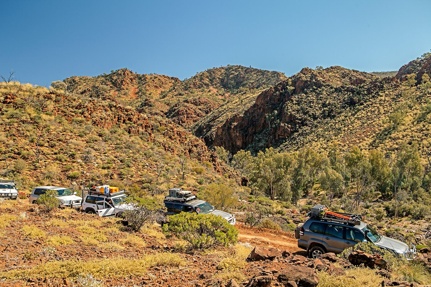
The Gammon Ranges possesses some of the most beautiful scenery the northern Flinders has to offer. Those parts of the Park accessible by vehicle comprise rolling hills surrounded on all sides by rugged mountain ranges. The road through the park is accessed from the main Arkaroola Road by way of a dry river bed carved through a rust red range.
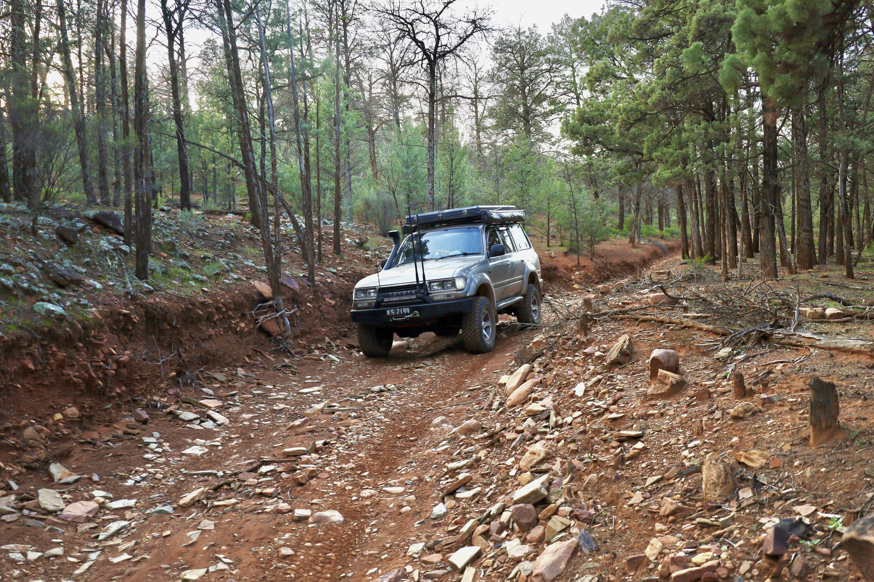
The road is one way in places and while in good repair was slow due to the numerous dry creeks and washaways. Significant sections are along rocky dry river beds which need to be negotiated with some care.
The park was a kaleidoscope of colour from the wildflowers. We found a large patch of Sturt Desert Pea, the brilliant scarlet flowers a contrast to the dark brown earth. The Darling Pea (a relative of the Sturt Pea) is a brilliant purple and was growing in such numbers that it tinted the hillsides.
Visitors requiring a bit more comfort than a tent provides can hire Grindell’s Hut for $140 a night. Located in the heart of the Park with spectacular 180 degree views of the ranges this stone building sleeps up to 8 people in 3 bedrooms.
From the Gammon Ranges it is only a short distance to neighbouring Arkaroola which covers 61,000 hectares and offers motel style accommodation as well as a range of camping options. The resort boasts a quality bar and restaurant for those tired of burnt offerings around a smoky camp fire.
Arkaroola has 2 camping options – powered sites near the amenities block or acres of unpowered camping along the dry river bed of the Arkaroola Creek. I haven’t yet worked out why the Grey Nomads cluster cheek by jowl on the powered sites (which offer little in the way of shade), when they could be sitting around a camp fire under the shady trees along the river bed.
The Bolla Bollana smelter ruins a short drive west of the camping area are worth a visit as is the unpronounceable but scenic Nooldoonooldoona Waterhole a little further on. One of the must do attractions is Arkaroola’s Ridge Top Tour which takes about 3 hours.
Bundled into the back of an open Toyota cab chassis fitted with a bench seat down each side the ride can be a bit hair raising at times with the Toyota’s wheels scratching away at loose rocks on the narrow steep inclines. Apparently they get about 8,000 kms to a set of tyres!
The tour stops at lookouts along the way, the last of which, Sillers Lookout, is the most spectacular. Here passengers are treated to tea and lamingtons while they enjoy breathtaking 360 degree views over Arkaroola and east towards Lake Frome.
The self-drive Echo Camp Back Track is described by Arkaroola Management as “an extreme four wheel drive track” – it isn’t. Yes, you need a four wheel drive with high and low ratio and decent tyres, but anyone with basic four wheel drive competency could easily handle this track.
The drive takes you through some of the Arkaroola’s most spectacular scenery as it winds around rugged ranges – which on our visit were cloaked in colour with wattles, cassia and wild hops in abundance.
Wild hops were accidentally introduced by Afghan cameleers in the mid-1800’s. Used to pad out the saddlebags on their camels, the plants contained seed and, as they say, the rest is history.
Echo Camp Back Track passes Barraranna Gorge with its semi-permanent waterhole and sheer rock cliffs before meeting the road to Paralana Hot Springs, one of only 3 radioactive hot springs in the world. While the small pool of green slimy 62 degree water is not particularly impressive, it harbours several types of bacteria not found anywhere else on Earth.
Deep underground water percolates through fractures in granite rocks that contain high levels of uranium which generates heat as it breaks down. The bubbles of gas emitted from the spring are in part highly radioactive radon gas.
While camping at Paralana has been prohibited for many years due to concerns about suffocation from heavier than air gasses blanketing the area on still nights, I remember it as a popular camping spot in the 1970’s. Back then the water level in the springs was higher and being blissfully unaware of the risks, many people, including myself, used to take a dip in the hot bubbling water.
I’m pleased to say I haven’t suffered any adverse effects from these actions – although others may disagree!
Returning to Arkaroola the road passes Stubbs Waterhole, a popular lunch spot with impressive cliffs of conglomerate cut by the creek. A little further on you pass the public Mt Jacobs four wheel drive track which has excellent views over Arkaroola and the Gammon Ranges.
Arkaroola had suffered significant damage from heavy rains a month or so earlier and the Mt Jacobs track was very slow, requiring careful wheel placement when negotiating the many washaways.
Arkaroola is always a pleasure to visit whether after rain when the countryside is alive with plants and wildflowers, or in drier seasons when the rugged ranges take on a harder less hospitable appearance.
TRAVEL PLANNER
WHERE Arkaroola and neighbouring Vulkathunha-Gammon Ranges NP are in the northern reaches of South Australia’s Flinders Ranges, 650km north of Adelaide.
WHEN TO GO Summer months can be extremely hot and should be avoided. March to October is the best time to travel.
WHAT TO BRING Campers should plan to be self-reliant while staying in the area. Bring adequate drinking water, sun protection and insect repellent.
FOOD AND FUEL Fuel and basic supplies, such as frozen bread, are available at Arkaroola. Leigh Creek, two and a half hours away, is the nearest major centre where a wide range of supplies can be bought.
ACCOMMODATION Arkaroola offers motel-style accommodation plus camping with facilities within the designated campground (powered and unpowered sites). The Vulkathunha-Gammon Ranges NP has several campsites without facilities, as well as Grindells Hut, which has toilets and hot showers, sleeps eight. The hut is available for hire but bookings are essential.
DRIVING CONDITIONS The bitumen ends at Blinman or Leigh Creek to the south and the last 120km to Arkaroola can be travelled via a 2WD gravel road in good condition. The public roads within Arkaroola and Gammon Ranges are generally well maintained. While best suited to a high-clearance four-wheel drive, softroaders with appropriate tyres shouldn’t have any difficulty if driven conservatively in dry conditions. Road conditions deteriorate after rain.
CONTACTS Arkaroola Resort and Wilderness Sanctuary www.arkaroola.com.au
SA Dept of Environment and Natural Resources www.environment.sa.gov.au/parks


