The walk was steep, the 200 or so steps along the way letting you know there were muscles in your legs that hadn’t been used for a while. But it was worth it.
The gorge, a sharp-edged narrow defile, comes as a surprise to most first-time visitors to this region, the red, raw rock closing in as you wander down the creek that cuts through the range here. Sunlight only makes it into the narrowest part of the ravine during late morning or early afternoon, and you can be excused for thinking you are at other more famous canyons in Australia such as Stanley Chasm west of Alice Springs, Echidna Chasm in the far away Bungle Bungles, or even Claustral Canyon in the Blue Mountains.
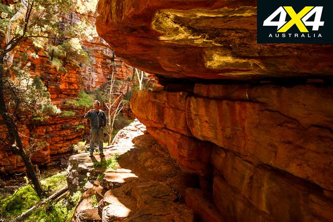
Water nearly always trickles through here, even though it is underground in places. Ferns and other cool-loving plants dot the chasm walls and floor, marking a startling change to the sun-bleached plains and rugged hills outside the hidden recesses of this abyss.
We wandered down the gorge and then out across the low intervening rise to Blue Gum Flat, where road access into the park ends … and I wondered why I never started my walk into and out of the gorge from there.
We were exploring Alligator Gorge (no alligators have ever been seen here!) where the ragged, rugged spine of the hills and peaks we know as the Flinders Ranges rear up from the surrounding flat plains. On the western edge of the range, a narrow coastal strip borders the shallow, ever-narrowing arm of Spencer Gulf, while to the east flat dry plains stretch away to the NSW border and ‘Corner Country’.
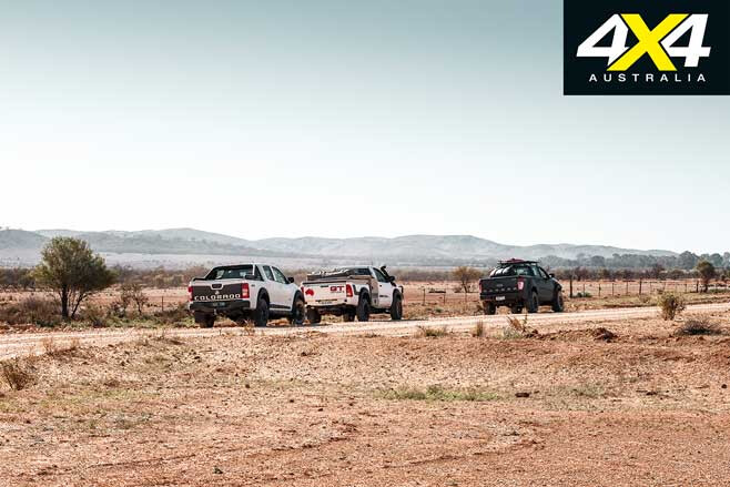
The Flinders officially start just a few kilometres south, where the rounded hills, cleared of most trees, quickly give way to more rugged peaks and valleys. Just north of Port Germein, one of my favourite coastal towns with a good pub and a large dose of history, the hills and peaks crowd together to form what we know as Mount Remarkable National Park.
Our trip had started at the small hamlet of Melrose, which lies tucked into the range at the foot of Mount Remarkable. This area around the high peak is one of the better-watered areas of the Flinders and, as this latest trip was to show, the relatively lush areas of the southern coastal Flinders and the striking drier country just a short distance east and farther north were in stark contrast to one another.
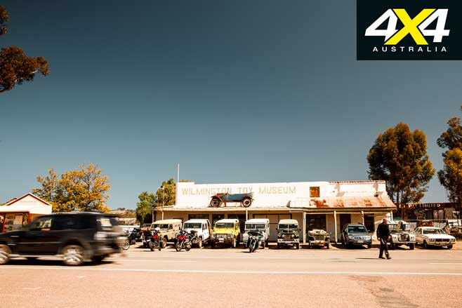
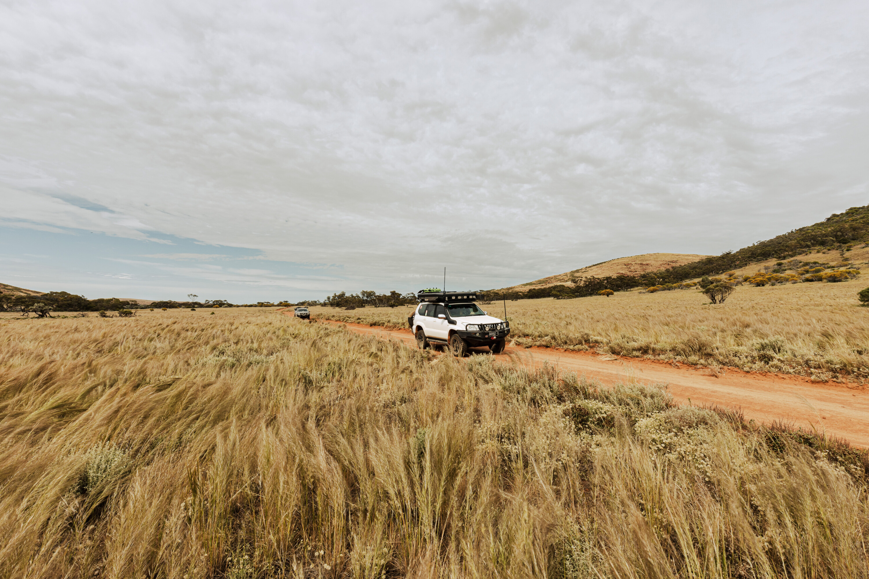
As we headed east away from the dominant peak, the country dried out quickly with each passing kilometre. By the time we passed through Johnburgh – a near ‘ghost town’ and a relic from the days when this area had been opened up for wheat farming, with a population now of just two – a cloud of white dust was following each and every vehicle in the convoy.
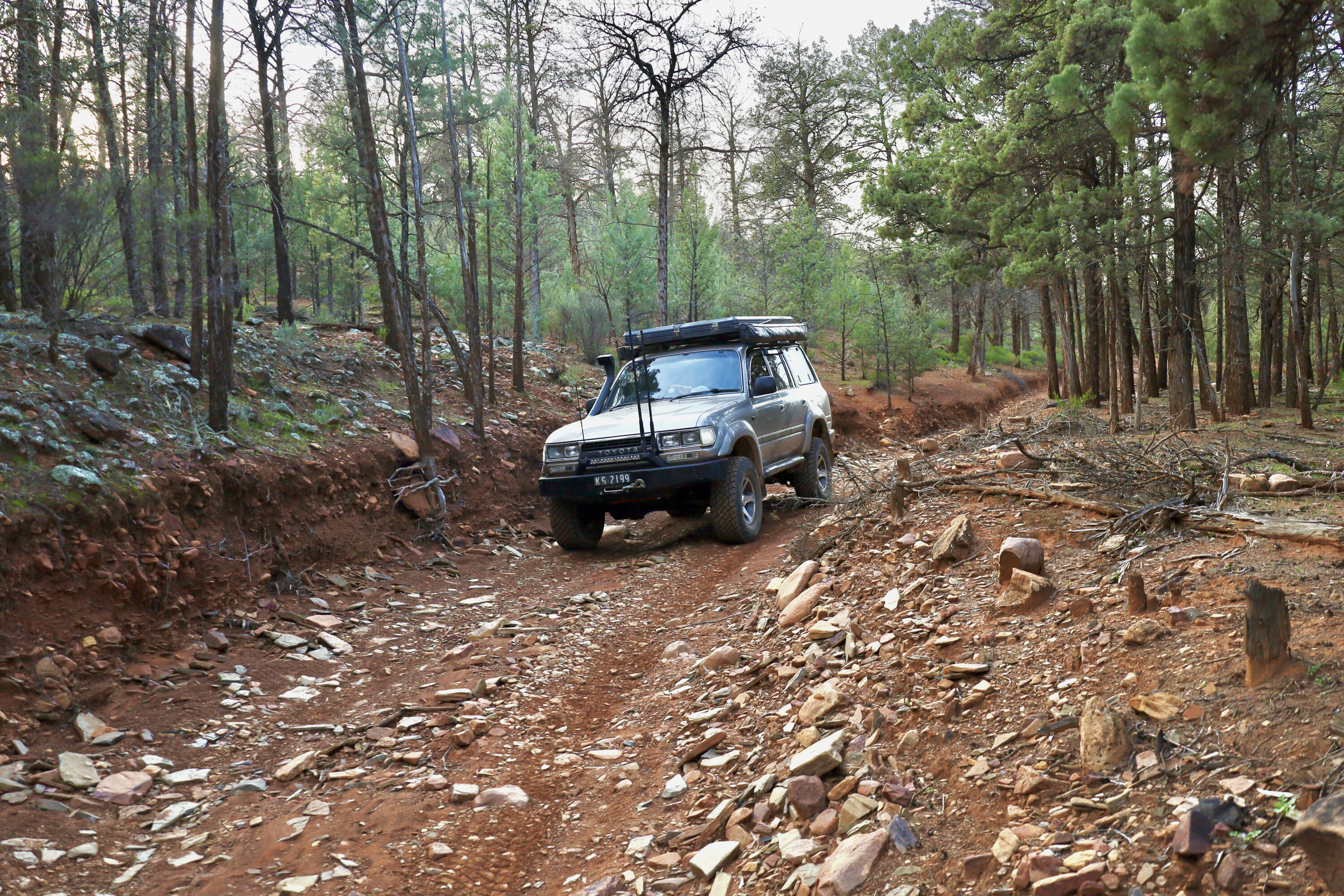
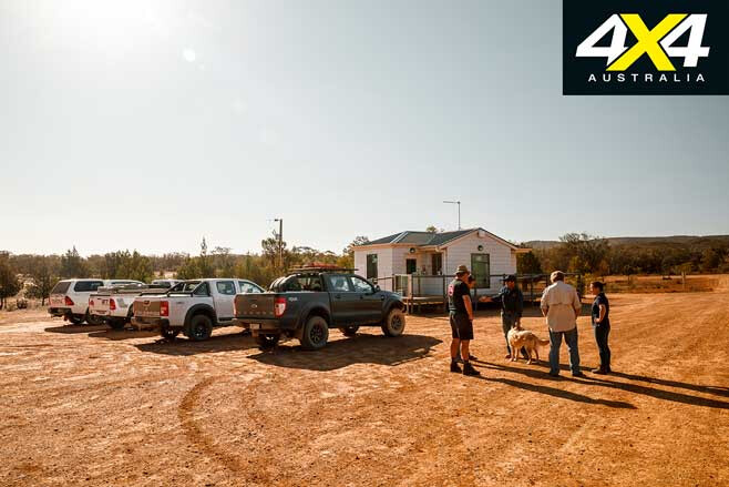
Upon arrival at Bendleby Ranges we were greeted by hosts Charlie and Jane, and without further ado we headed out on some of the tracks which took us along a creek bed and past some delightful campsites. The route then led up a high crest of the main range along the North-South Ridge track, to a fine viewpoint where we took in the sunset. The breeze, though, was bitingly cold, so once the sun had disappeared we returned to the homestead, bunking down in the shearers’ quarters for the night.
The next morning, even though we had hardly touched the tracks around the nearby hills and valleys, we headed to the Hungry Ranges about 10km south-east of the homestead. Charlie had just pushed a new track up along a ridgeline to the top of a prominent but unnamed hill and wanted to show us the route.
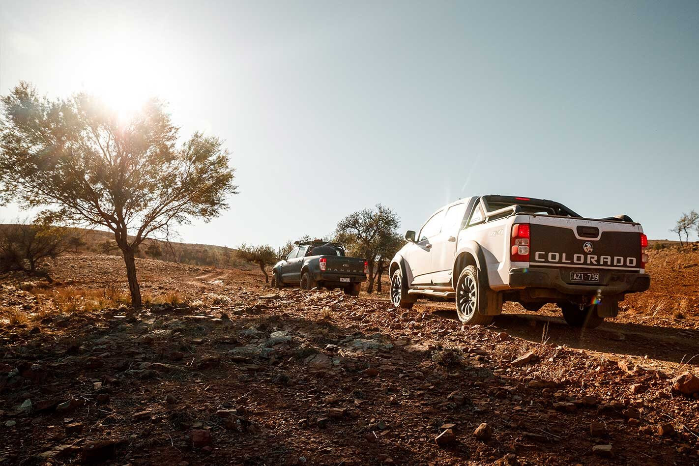
Once we began to climb the range and then trace up along Billy Goat Ridge we knew we were in for something pretty special, as the track features narrow rocky ridges that provide expansive views of the surrounding countryside. The climb to our unnamed viewpoint was a scrambly affair, the Ford Ranger I was driving letting me know the traction control was working hard to help me reach the lookout.
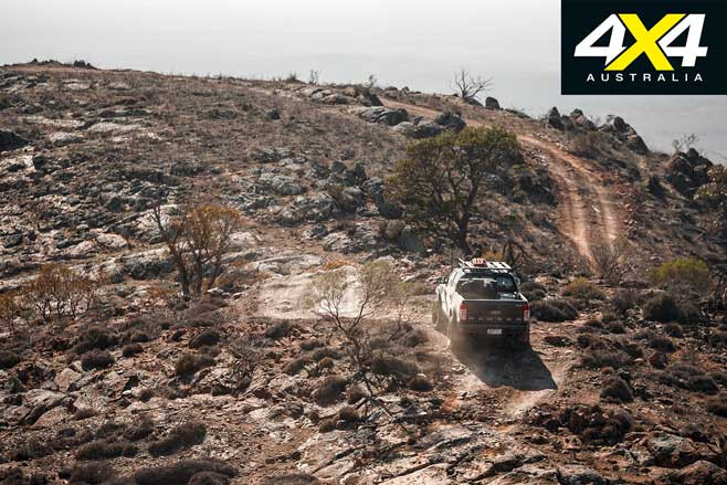
All too soon we were carving tracks westward, passing through the small village of Carrieton where the pub has recently closed; which isn’t a good sign, but hopefully it’ll open again soon. Our route then took us through the hill country of Moockra and out onto the billiard-flat savanna of the Willochra Plains, where at times deep sections of bulldust enveloped the vehicles.
Arriving in Quorn, where I had spent many joyful years as a young kid, we found our way to the old historic railway station, home to the famous Pichi Richi Railway (1878). This was once part of the original Ghan Railway north to Farina (arriving 1882), Marree (1884) and finally to Alice Springs (1929). Steam buffs and kids will love the experience.
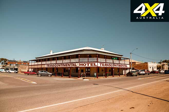
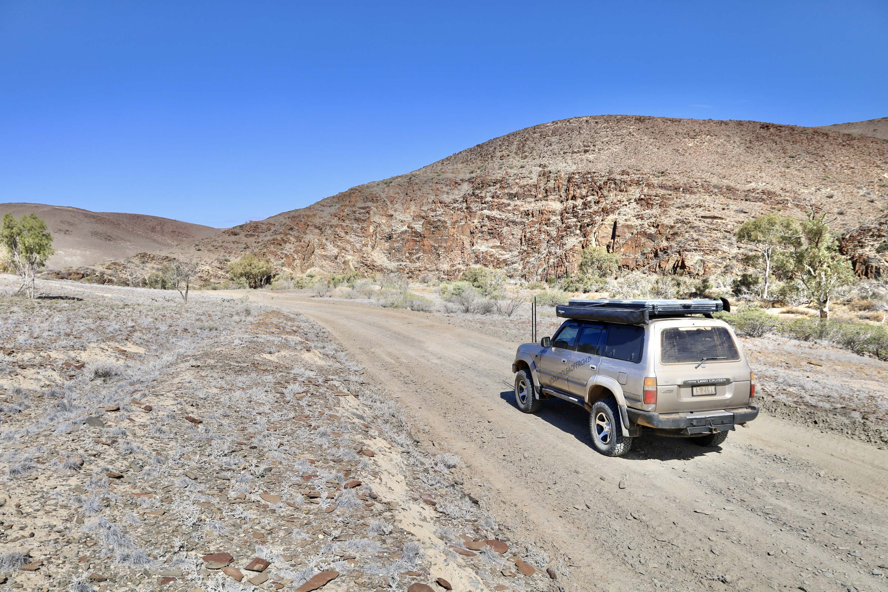
With a key from the info centre, which is housed in the venerable old building, we headed to Warren Gorge, one of my favourite places in the ranges and a spot I’ve camped at many times. A gate at the far side of the public reserve opened the way to the Arden Hills 4WD Track, which is a 22km-long route climbing through some spectacular hill country on what are, at times, steep sections of trail.
From the highest ridges you’ll have fine views south to the rocky crest of Devils Peak, west to Lake Torrens, south-west to the head of Spencer Gulf, and north-east across the ranges to the jagged outline of Wilpena Pound. That evening we threw down swags at one of the designated campsites along the track and had a quiet evening with just a few ’roos to keep us company.
Heading north to the very heart of the ranges we took the back road, crossing a trickle of salty water in Willochra Creek and visiting Hugh Proby’s grave, near where he drowned in the normally dry creek.
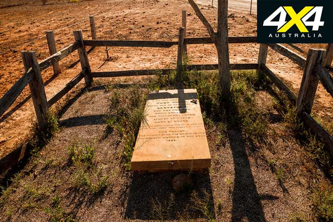
Hugh was once the owner of the one-time vast Kanyaka (sheep) Station and we stopped at the ruins of this sprawling outpost to admire its former glory. Broken up in the 1880s to form smaller wheat farming blocks, the ruins of these and the small towns such as Wilson, Kanyaka, Hookina and Simmonston are testimony to that folly and the idea that ‘the rain followed the plough’.
We refuelled in Hawker and arrived in historic Blinman at what seemed like peak hour, the little cafe busy with lunches and the pub dotted with people enjoying a beer on the front verandah; I had never seen the ol’ town so swamped with visitors!
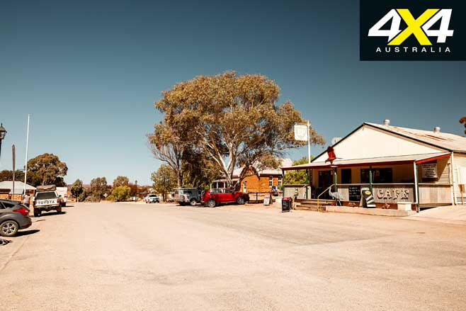
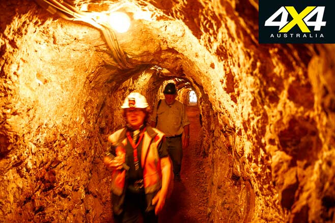
Copper had been discovered here in 1859 by a one-legged shepherd, ‘Pegleg’ Blinman. He sold the rights to his find and made a fortune, and from 1862 through to 1907 the mine produced around 10,000 tonnes of copper. Still, it hardly ever made a profit and after it closed it was left to ruin, until a few years ago when the local community got together and, after a lot of hard work, opened the mine as a tourist venture.
It obviously worked, as now it is best to book to get on an underground tour, while a self-guided walking trail is available at all times. We relished the experience of wandering underground in what are comparatively roomy and well-lit drives that take you deep underground.
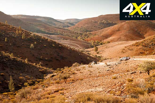
With time a constant concern, we headed south on the blacktop to Willow Springs, home of the fabled Skytrek 4WD Track. Most of our group had experienced this great all-day 80km route before, so with permission from the owners we headed off on a shortened version that would get us to the high points and fine lookouts before sunset.
The track takes you through a variety of habitats and rock formations before climbing up onto the high points, which give outstanding views of some of the best range country in the whole of the Flinders. It is a fantastic 4WD route and, while we have been on it a number of times, we never get sick of the drive, the challenge or the outstanding views.
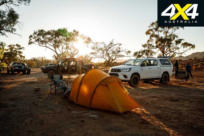
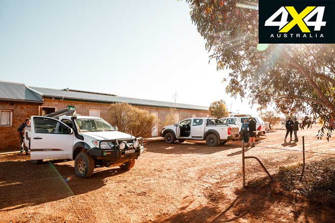
Arriving back at the homestead after last light we found our way to one of the well-established campsites dotted along the creek less than a kilometre from the farmhouse, its nearby workshops, community camp kitchen, and shower and toilet facilities.
After a hurried breakfast and a quick goodbye to the Reynolds family who own and run Willow Springs, we were on the road again. Nobody ever said shooting a video – which was what we were here for on this trip and hence on a tight timeframe – was easy! Still, there was a good reason for our early departure.
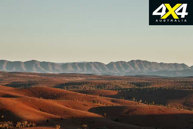
The route through Bunyeroo and Brachina Gorges rates as one of the best drives on a public road anywhere in Australia. I’ve done it dozens of times and, while it’s hardly a 4WD track, I never get sick of it or the spectacular views, especially from the Bunyeroo and Razorback lookouts, which are made even better in the early morning light.
Through Brachina Gorge, which is designated a Geological Trail with interpretive signs at significant points, you become a momentary time traveller as you pass through ever-older rock formations, while great peaks such as ‘The Guardian’ dominate the scenery.
In places, a short walk and a careful eye will reveal fossils from a time when life on earth was very young. In fact, just west of here in the Ediacara Reserve (planned to soon be a National Park), some of the best fossils of early life forms, dating back more than 570 million years, have been discovered.
Once our time travelling was over and we were back in the 21st century, we headed to the Wilpena Resort and the nearby historic homestead of Wilpena Station, where we met up with Keith Rasheed, one of the legendary figures of the Flinders. At the old homestead, which has one of the most historic and delightful settings you can find anywhere in outback SA, we chatted about the Flinders and the Wilpena Resort, which Keith’s father had started and the family had owned until recently.
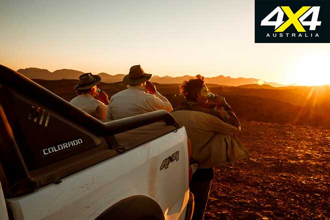
I looked out at the huge, old red gums that scatter the flat around the homestead and wondered at the history they could tell and the droughts they have already survived.
“Those trees are pretty old,” Keith commented. “Some mightn’t make it, but look at the young ones, they’ll survive and the country will come back.”
I could only hope so … and I knew I’d be back to see how they go!
Arden Hills
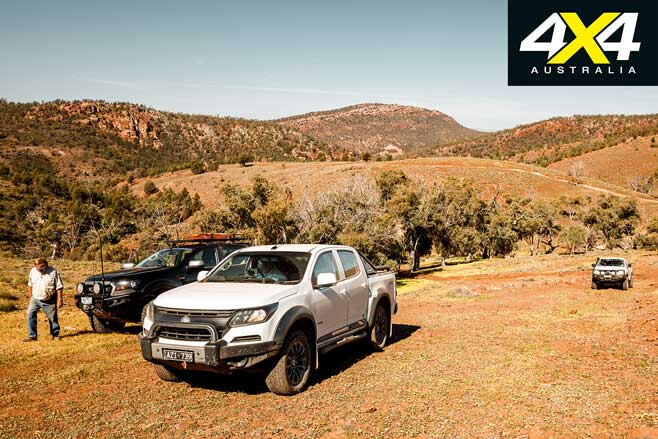
Located just 20km north of Quorn, Arden Hills is a working sheep property where the 4WD track begins and ends at slightly different points just out the back of the popular camping and picnic area of Warren Gorge. The track isn’t to be confused with the Mount Arden 4WD Track, which is located nearby on Argadells Station (www.argadells.com.au).
This route of just 25km or so will take you quite a few hours to complete, with some gnarly sections to keep you on your toes. Great views of the surrounding country and distant views of the head of the Spencer Gulf can be had on the highest ridges just south of Mount Arden.
There are a number of campsites and/or picnic spots along the way to enjoy and prolong your stay.
Dogs are not allowed. For more information and the key to access the track, contact the Flinders Ranges Visitor Centre in Quorn by phoning (08) 8620 0510, or check out https://southaustralia.com/products/flinders-ranges
Willow Springs
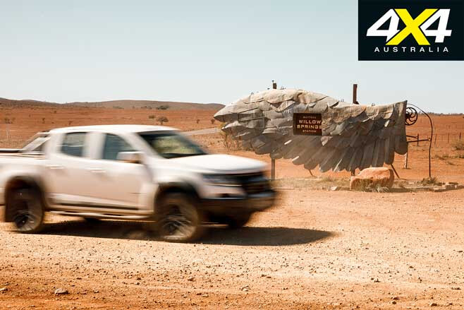
Home to the famous Skytrek 4WD Track, there is more to this property than the great track that offers fabulous views and a range of challenges along the way.
Located in the heart of the ranges and just north of the famous Wilpena Pound, the property is ideally situated to act as a base for not only experiencing Skytrek but also to explore the surrounding ranges and delights such as Brachina and Bunyeroo gorges, Blinman and the Prairie Hotel at Parachilna.
The Reynolds family has a long association with the Flinders going back nearly 100 years. The property covers more than 28,000ha and has been in the family since 1952.
There are seven self-contained buildings to choose from, while campers have a wide choice of well-established but secluded campsites. For more info contact Michelle, Carmel or Brendan Reynolds on (08) 8648 0016 or find details at www.skytrekwillowsprings.com.au
Travel Planner
Flinders Ranges – www.frc.sa.gov.au Pichi Richi Railway – www.pichirichirailway.org.au Hawker- https://hawkervic.info Wilpena Pound – www.wilpenapound.com.au Blinman Mine Tours – heritageblinmanmine.com.au
Best map: Hema Maps The Flinders Ranges. Best guide: Ron & Viv Moon’s The Flinders Ranges an Adventurer’s Guide.

