Part one – Trekking to the Border Cliffs
The strip of soft sand I was travelling on – more a narrow ledge than anything else and just below the first line of low scrub-covered ridges of sand – was becoming narrow. To my immediate right the jagged spires and clumps of sea-eroded limestone rocks didn’t look particularly inviting, while the wave-tossed sea a little further out was downright intimidating. Suddenly the sandy ledge I was on gave out completely and the Discovery lurched sideways into the sand and seaweed.
I thumbed the gearshift paddle back to second, the low-range box growling in time with the increased rumble from the V6 diesel engine. As forward motion came to a quick end, the response was a plume of sand thrown through my open door-window, covering us in a fine patina of powder and chips of seaweed. ‘Bugger’, I thought as I hit the window-up button.
I clambered out the partly-opened door and surveyed the situation. It was only then that one of our group noticed the faint exit track through a low gap in the ridge of dunes 200 metres behind me. Around then the second Disco in our group copped a flat tyre; a victim of the sharp-edged limestone that lurked under sand and weed, waiting to catch out the unwary or the unlucky.
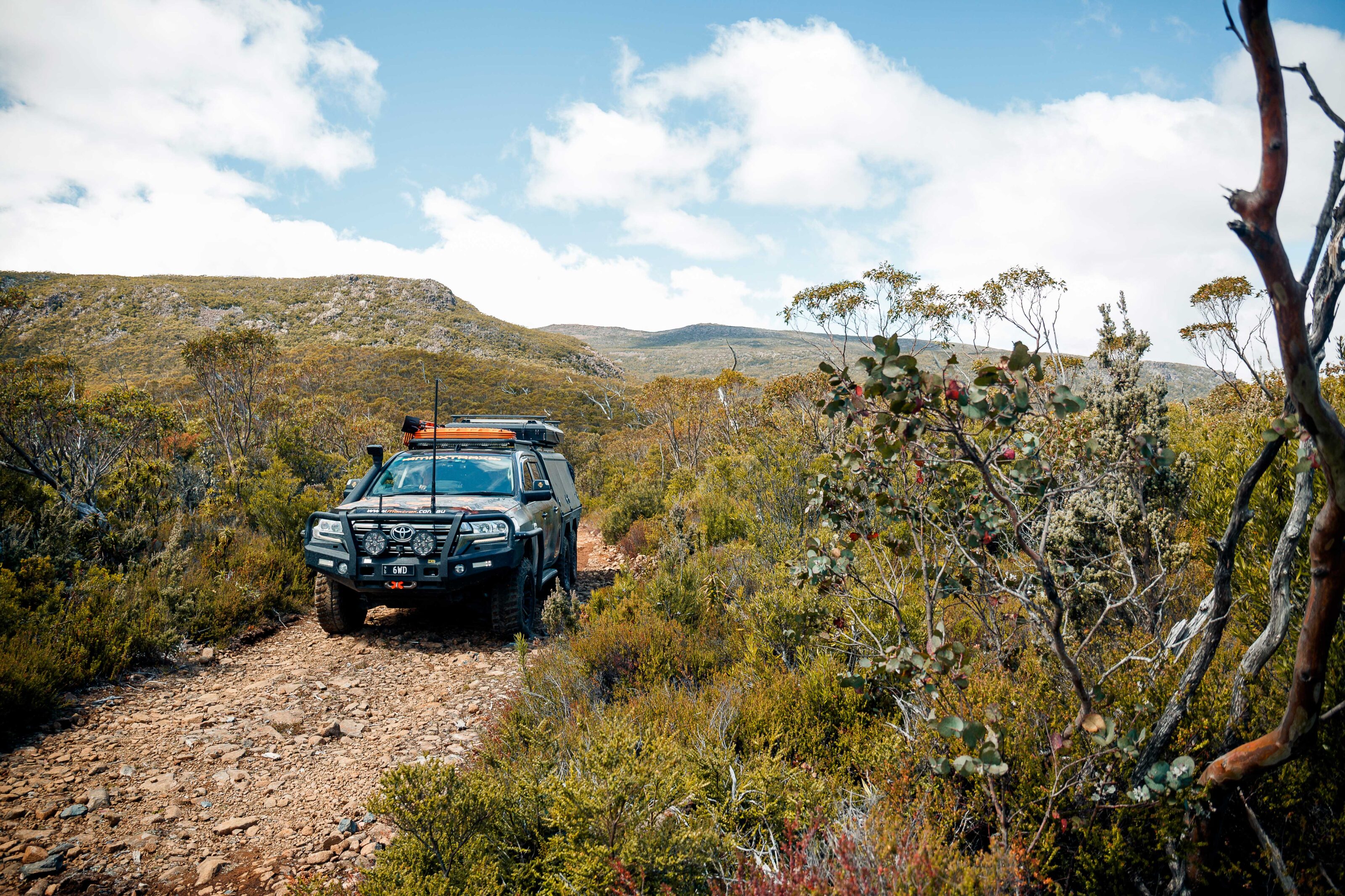
Neither location was a great place for a recovery or a tyre change, but you can’t choose the spot where the situation goes belly up; you just do the best you can. With a couple of MAXTRAX and a bit of digging I scrambled backwards onto more level territory out of the way of wind and waves.
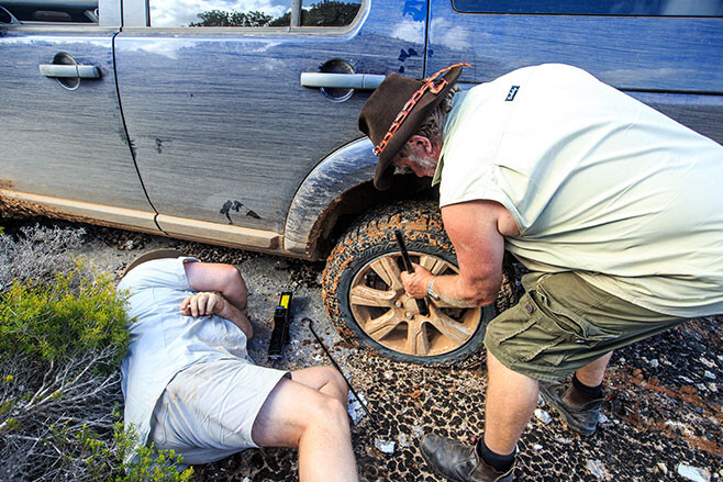
We were glad to leave the beach and slink in behind the low dunes, the track winding this way and that as we pushed east, running parallel to the coast for another few kilometres before we could slip back onto a firmer beach with hard-packed sand.
Our trip had begun a week earlier when our group had met at the Pink Lakes Caravan Park in Esperance WA. And after packing food into boxes and meat and cool drinks into fridges we were ready to hit the beaches.
Starting at Esperance you can hit the sand right on the outskirts of town. From the wave-washed sand at the base of Wylie Head, a dome of granite rears upwards in an unbroken curve of unblemished rock. For first-timers it can be a daunting experience as you nudge your vehicle up to the rock-face and then, in low range, drive up the steep slope with only sky to be seen through the windscreen. Only moments into the trip and this climb is already on the list of highlights.
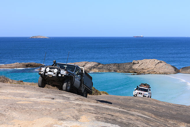
The view from the top, once you get there, is equally impressive, with crystal clear, light sapphire-coloured water washing up onto startling white sand. Further out from the beach the water goes through varying shades of blue to almost black. Dotted across the surface of the sea, rocky hump-backed islands rise above the water, their flanks alive and rippling to the wave-washed pulse of the sea. I’ve been here a few times and no matter the weather or sea condition, it is a sight that always holds me enthralled.
From the dome of granite we dropped down onto the sand of Wylie Beach and travelled the sweep of coastline all the way to Cape Le Grande, stopping to watch the antics of a couple of seals playing in the surf just offshore. Once we entered the Cape Le Grande National Park we were forced onto a section of bitumen that took us past delightful Lucky Bay which was worth a quick stop. It was then onto gravel roads to Rossiter Bay.
You can’t travel this long section of coast between Rossiter Bay and Streaky Bay, in South Australia, and not be aware of Edward J Eyre; the first European to explore this coast in 1840. His faithful native guide, Wylie, has his name perpetuated in the beach and headland we had just left. Rossiter Bay takes its name from the captain of the ship Mississippi, who by sheer luck was anchored in the bay when Eyre and Wylie staggered along this stretch of sand. It was one of the most fortunate meetings in Australian exploration history and the two tattered and worn explorers stayed on board Mississippi for 12 days repairing body and soul – and equipment – before continuing the gruelling trek to Albany, 500km west.
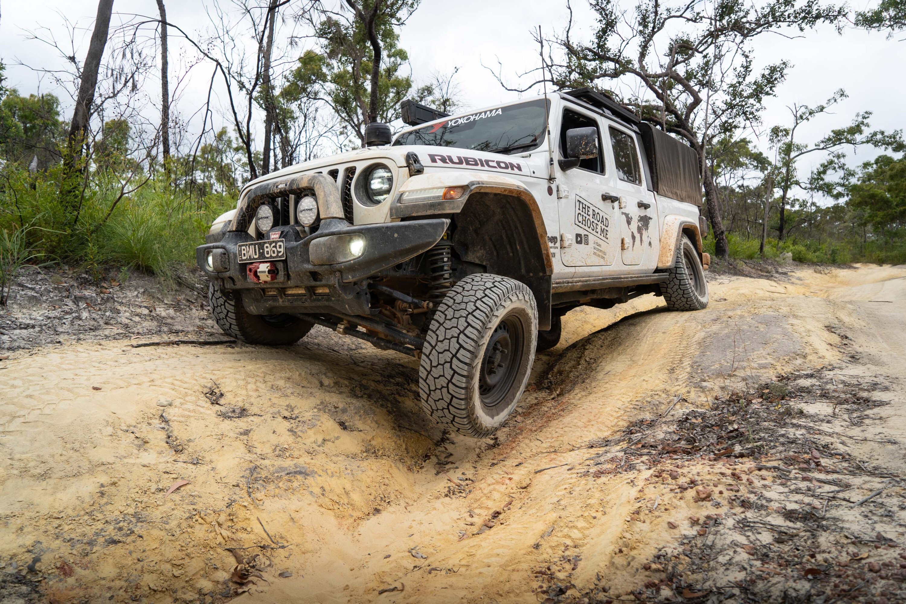
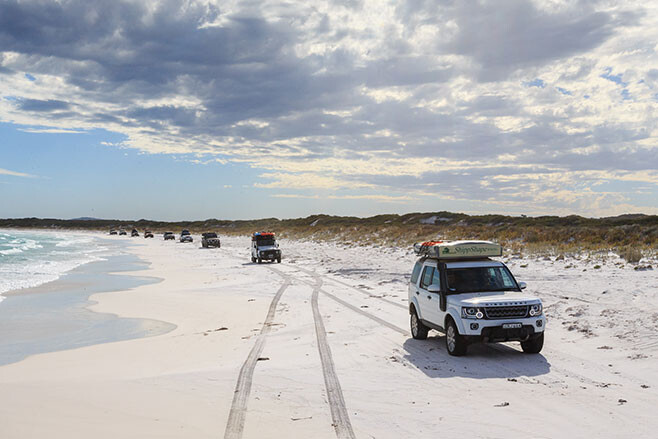
We had it a lot easier as we took to the sand and cruised north, but it was no walk in the park with clumps of seaweed and soft sand hindering progress. Deep gutters, now mostly dry but which had recently flowed strongly with fresh water, cut across the beach. In a moment of hesitation on which way to go to get around a particularly deep but dry crossing I chose the wrong line and, with a loss of momentum, got bogged down. It was to be the first of many boggings over the next couple of weeks as one by one we all suffered the ignominy of being caught out by the ever-changing sand.
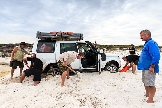
That evening – after an especially difficult steep dune climb that wasted away the hours as we got vehicles over using MAXTRAX and snatches – we camped just back from the long sweep of sand at Membinup Beach.
The next day we took Poison Creek Road to where you can join the old Overland Telegraph Line (OTL) Track that strikes east through the Cape Arid NP.
Built in the 1870s, reminders of the OTL’s history are never far away when you drive this route across the Great Australian Bight. In fact, in places the lone wire that once carried the telegraphic signals of a nation lies along the track, acting something like a breadcrumb trail in your GPS and letting you know you’re on the correct route, east or west. At other times solitary poles from those bygone days (this OTL line closed in 1926 to be rerouted along what is now the Trans Australian Railway line further inland) can be seen, as well as the ruins of old telegraph stations.
We met a couple of park rangers along this track to Point Malcolm and discovered that, due to concerns about dieback which is plaguing many of the coastal areas of southern WA, this track through the coastal heath may soon be closed. That would be a great shame, but it is about the only thing that can be done to stop the spread of this lethal plant disease; Phytophthora dieback is an introduced plant disease that is fatal to over 2000 species of native Western Australian plants.
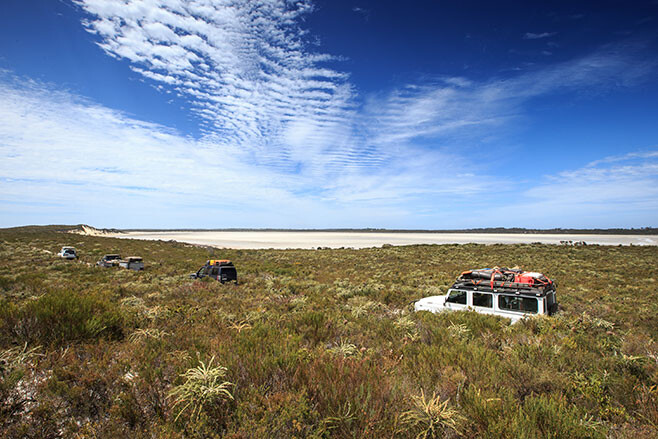
After camping that evening at Israelite Bay, with its nearby OTL station ruins, and checking the nearby northern beaches for our run north the following day, we opted to follow the OTL track for the first 30km or so before cutting onto the beach for the run north. Choosing such an option allowed us to drive the 50km or more of northern beach without one of us getting bogged or caught out by soft sand or deep seaweed. It was the only day that beach-driving good fortune smiled on all of us.
Our camp was reached quite early that afternoon as we pulled off the beach and wound our way amongst small hummocks of sand to stop at the base of the impressive range of sand mountains known as the Bilbunya Dunes. They may not be the highest sandhills in Australia but, at around 200 metres tall from base to razor-cut crest, they are far taller than the famous Big Red in the Simpson Desert and are far less vegetated. Their sinuous ridges of almost sensuous curves, sweeping upwards to a sharp-edged peak are mindblowing and so hypnotic that your eyes are always drawn back to them. You just cannot drive past them!
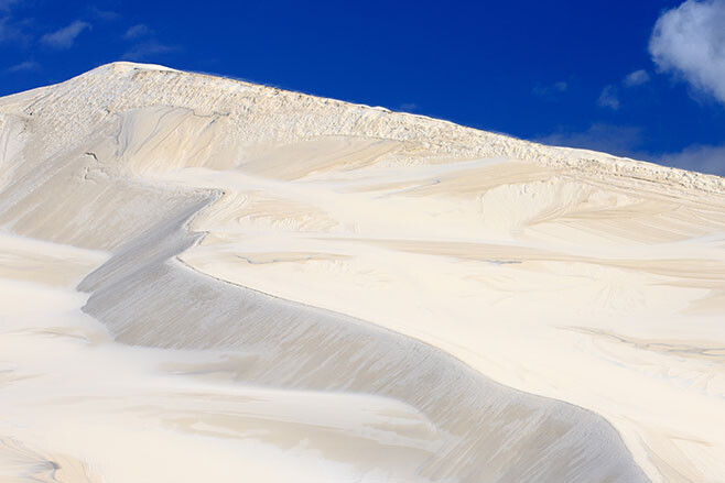
Suddenly the weather changed. We had pulled up in the early afternoon, the photographers and video team uninspired by the harsh midday sun, but then the clouds began to roll in. Within an hour, dark clouds surrounded us and we were amongst thunder and lightning. Then it began raining; first as solitary big, hard hitting drops, then in sheets.
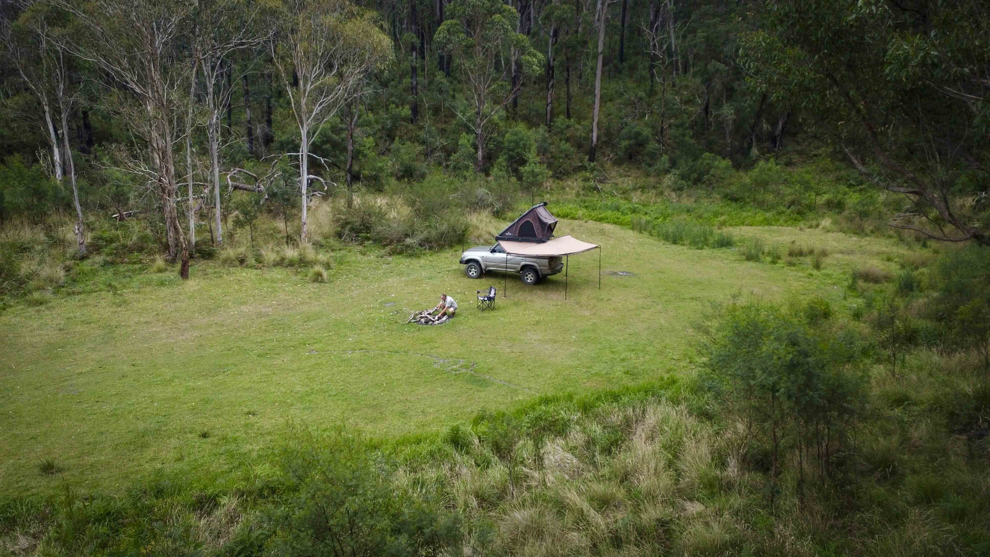
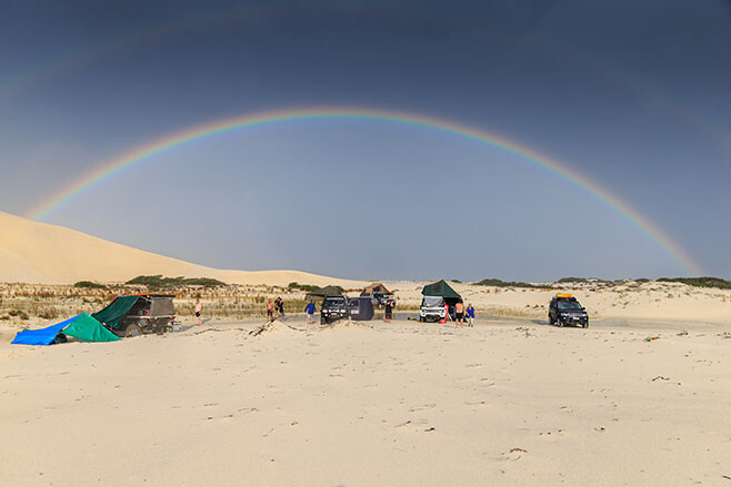
Our campsite became a lake as we huddled under awnings and lean-tos while the rain poured down. Some of us even took the opportunity to have a fresh water shower. Just 15 minutes later a rainbow coloured the sky, the rain departed and the sun came out as it began to settle towards the western horizon. It was a magical performance in an unbelievable setting.
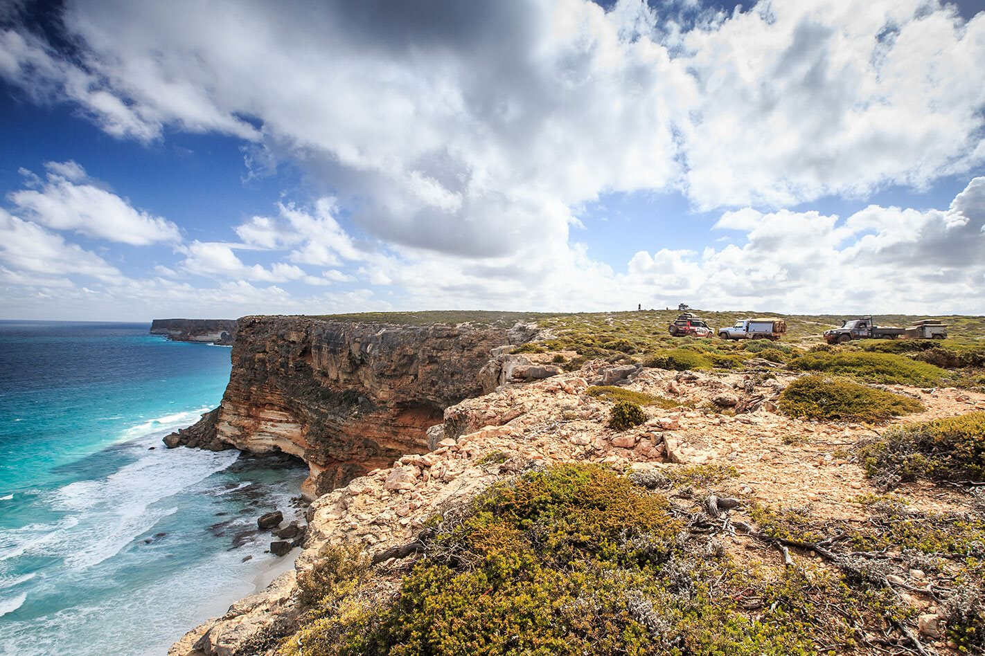
The cliffs of the Great Australian Bight start just east of here at Point Culver. A track climbs the Wylie Escarpment to begin its slow and tortuous way east either across harsh limestone outcrops or through mallee scrub.
Along a stretch known as the Baxter Cliffs, you pass miniscule Toolinna Cove. Further east, just inland from the cliff-lined sea edge, is a monument to Eyre’s friend and second-in-charge, William Baxter, who was killed here by natives.
After two near full days of the horror of the limestone – as I call it – we began to wind through low-mallee-scrub-covered white sand dunes dotted with the occasional stunted native pine, and I knew we were getting close to the track that would lead us down the escarpment and onto the beach once more. The descent was easy and it was with a touch of relief we drove onto the sand proper, only to be reminded of our tyre pressures as the soft sand ensnared some of our convoy.
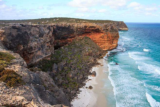
It had been a big day of 125km when we stopped for camp amongst some low scattered dunes at the base of the 70-metre high cliffs of Twilight Cove. This is a truly exquisite spot; in my opinion the most remote and dramatic beach you can reach by vehicle in South Australia. We spent a couple of nights here: it was a terrific place and it was a great respite from the constant jarring of the tracks.
Next day saw our convoy, and me in particular, slide off the lip of sand and become bogged, before creeping back behind the first line of dunes to continue or way eastward. We left the beach again at the Eyre Bird Observatory – once an OTL station and the only that’s still close to its former glory – and stopped for a short time to talk to the volunteer caretakers who look after the place for three months at a time. We also checked out the small but interesting museum.
We picked up the OTL track again after leaving Eyre for an easy and enjoyable run east below the scarp that parallels the coast. We climbed the scarp at Madura and, with permission from the local stations, used the Old Coach Road and camped that evening on a saltbush plain west of Mundrabilla. Next morning we descended the scarp once more and headed out onto the Roe Plain, just behind the dunes, heading to Eucla.
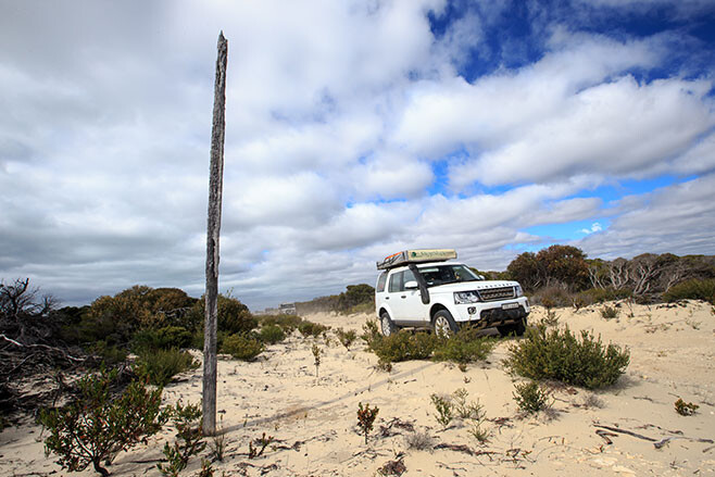
The tides were way too high to tackle the beach east of Red Rock Point. Still, once east of the small tin-shanty hamlet of Wanteen we hit the beach once more in the hope of running the final section into Eucla. But the tide was still high and after playing silly buggers in the seaweed and soft sand once more, we took the easy way out and headed along the Starling Trappers tracks to civilisation – Eucla that is!
Camp was hot showers, cold beers and a great meal in the restaurant. Next day with a few of the crew changed over we were again to plunge into the scrub as we pushed east into South Australia. Some of the best beaches, hidden coves and rugged cliffs you can find on the planet were waiting – and we’ll share that with you next issue.
Want to see more from our trip? Check out the below videos:
- The Great Australian Bight Adventure: part two
- The Great Australian Bight adventure coming soon
- The Great Australian Bight Adventure Teaser II
- The Great Australian Bight Adventure Teaser III
- Big Bight Adventure: Bush Mechanics
- How to prepare for a 4×4 trip
- How to beach drive
- How to 4WD in a convoy: radio communication
Get the latest info on all things 4X4 Australia by signing up to our newsletter.

