A trip to Wyperfeld National Park is a journey into one of the more remote areas of Victoria. Highways turn into narrow one-lane roads and you pass through some townships which comprise only a handful of houses. Soon a vast landscape stretches out before you in every direction and you know you’re in big sky country.
This feature was originally published in 4×4 Australia’s September 2012 issue
Wyperfeld covers 360,000 hectares of Victoria’s north-west and is also known as mallee country. The park has three distinct landscapes and each makes for a different experience: the west is dominated by desert, the east covered with mallee eucalypts, and the north home to large white sand dunes, nicknamed Snowdrift.
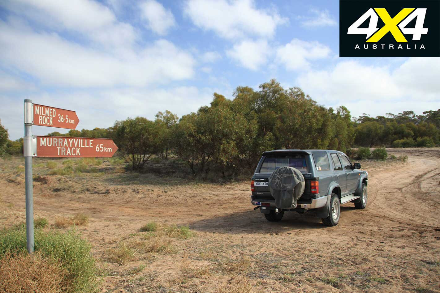
We were ready for another outback adventure, and the kids were itching to see emus and kangaroos and, of course, climb the sand dunes. Approaching the park from the south, we stopped at the Parks Victoria office in Rainbow to get the latest information on road conditions. The ranger advised us the North-South Track was in good condition, but warned about the Milmed Rock and Chinaman’s Well tracks in the west.
“If you have intentions of attempting either track,” he told us sternly, “you should first come to the office to let us know.” His main concern was the deep and soft sand at that time of year, and the fact we travelled as a solo vehicle.
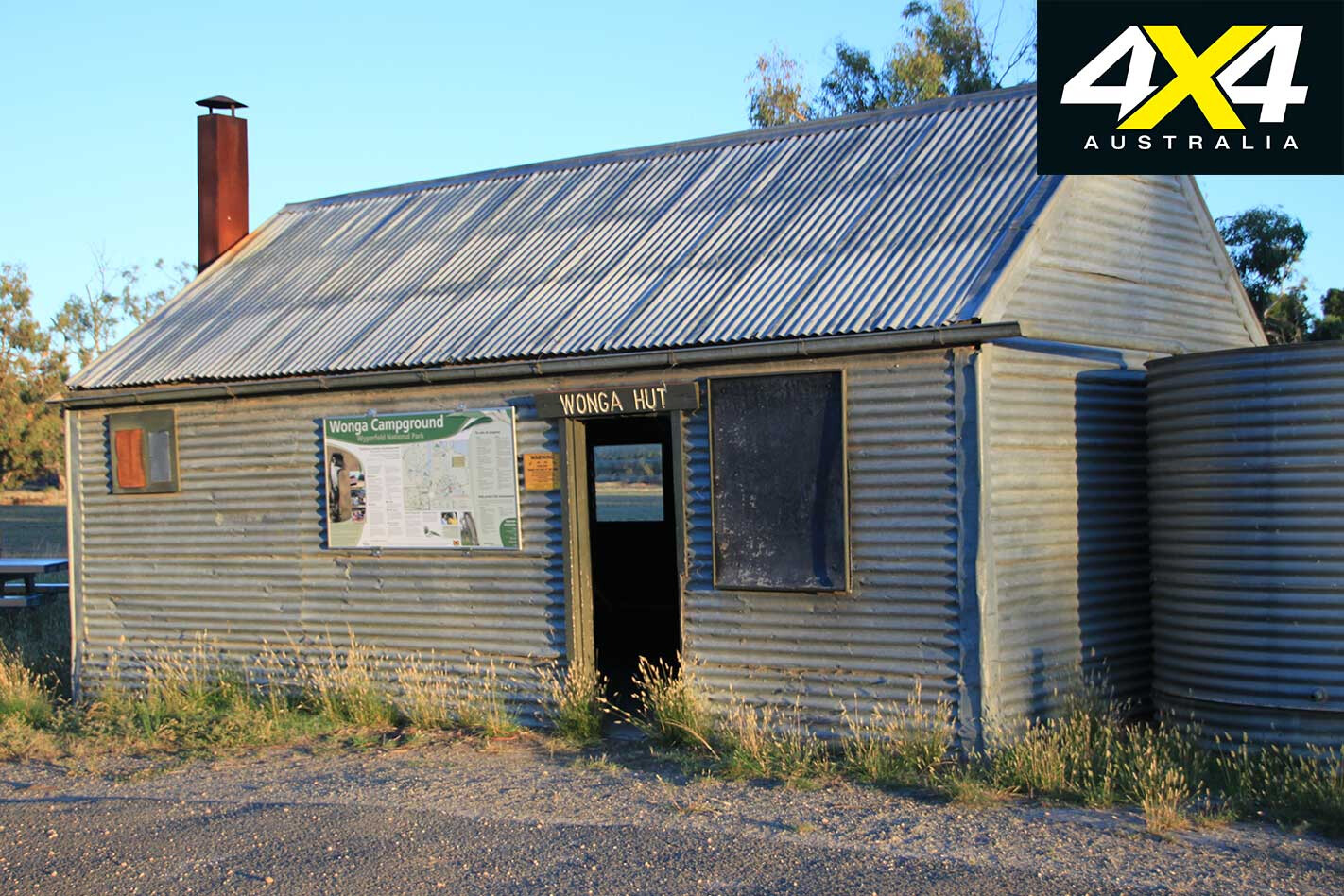
Armed with up-to-date info, we continued our trip north and headed for Wonga campground. The camping area was almost deserted; one caravan at one end and a campervan at the other. It was tempting to set up under a large gum tree to have some shade, but we had been warned about falling limbs.
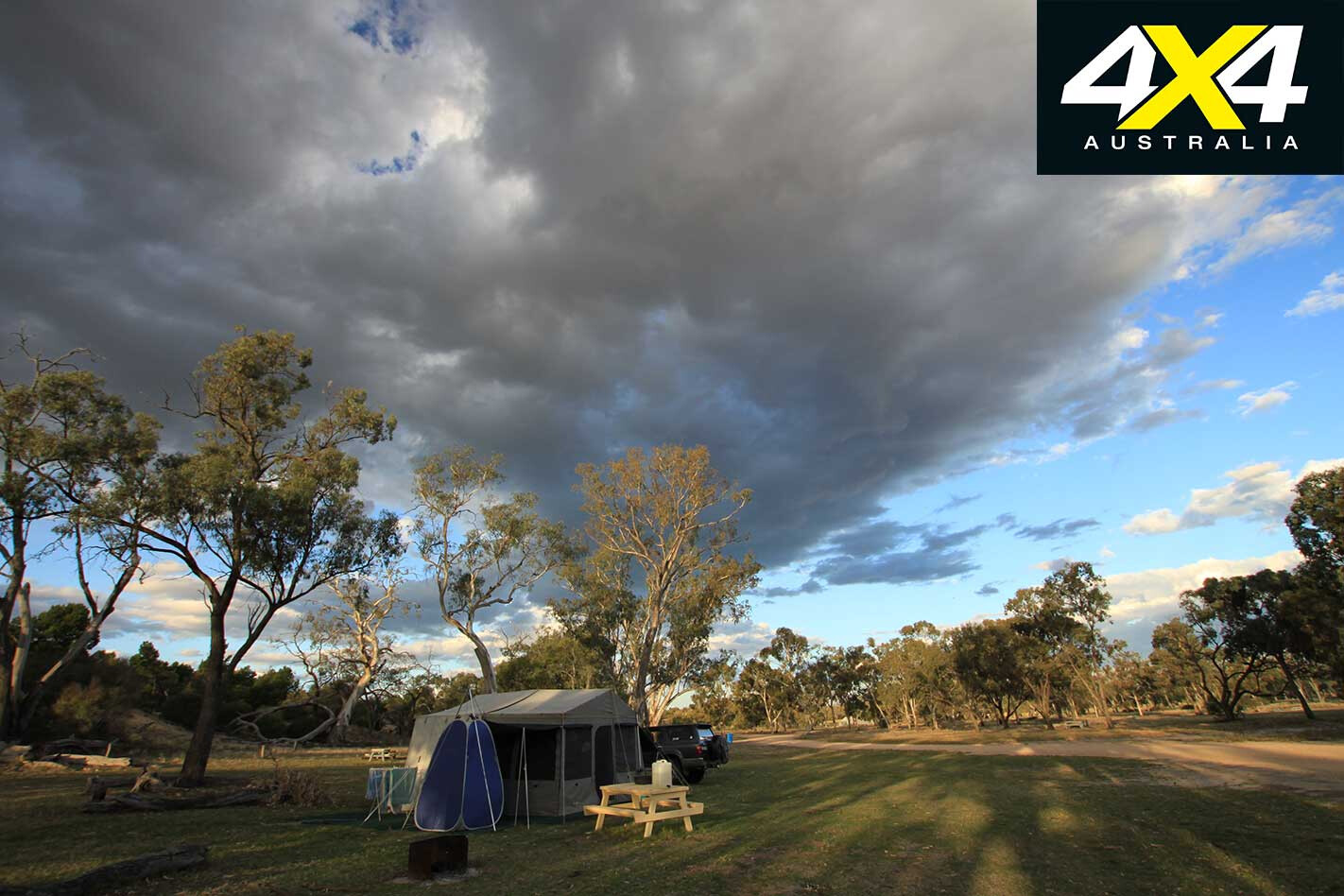
Unfortunately, we failed to see the sign warning visitors about the feral bees and made the mistake of putting the bush shower right next to our tent. That afternoon, a swarm of bees descended upon our awning after we’d all had a shower. The constant buzzing didn’t stop until dusk.
Chris quickly dug a huge hole next to the shower (underneath the shade cloth which we used as a floor) in order to contain the water. I started throwing out the dish water at least 10 metres away from our tent to give the bees another water source to hang around. Our plan worked and we breathed a collective sigh of relief when peace and quiet returned to our camp site.
The park information centre (open 24/7) contains a wealth of information and is also the place to obtain your camping permit. After paying our fees, the kids ran outside to check out the Wonga Lake whim, which is a replica of the one used during the severe drought of the 1860s.
The whim was built to draw water from a well for sheep grazing on the property and stock travelling to Pine Plains. Three-year-old Hannah was fascinated by the stump-jump plough, which is a piece of machinery that was invented in 1876 to help clear the mallee scrub. If the plough hit a rock or root, it would ride over it without getting damaged.
The James Barrett Nature Drive was next on the list. This 15-kilometre loop drive passes through dry lakebeds, flood plains, sand dunes and typical mallee country. One large sand dune, known as Flagstaff Hill, was used as a point to hoist a bucket of burning wood and coals to the top of a pole at night in the early station days to act as a guide for returning bullock teams.
The highlight of the drive is the Eastern Lookout, which is well worth the gentle 400m climb, and rewards with panoramic views – it’s a great spot to watch a sunrise.
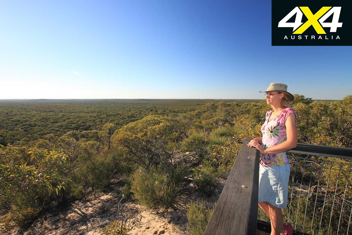
There are plenty of other walks to be enjoyed and most of them are within 5km of the campground. The Discovery Walk starts at the eastern toilet block and takes you up Mt Mattingley where you can enjoy sweeping views of the park, and you are likely to spot kangaroos and emus at dusk and dawn.
The 4.4km Tyakil Nature Walk, accessed via Black Flat carpark, has interpretive signs along the way and takes about two hours to complete. If you’re feeling energetic, park at Nine Mile Square carpark and check out the 6km Desert Walk, which rewards with views of Big Desert and Outlet Creek.
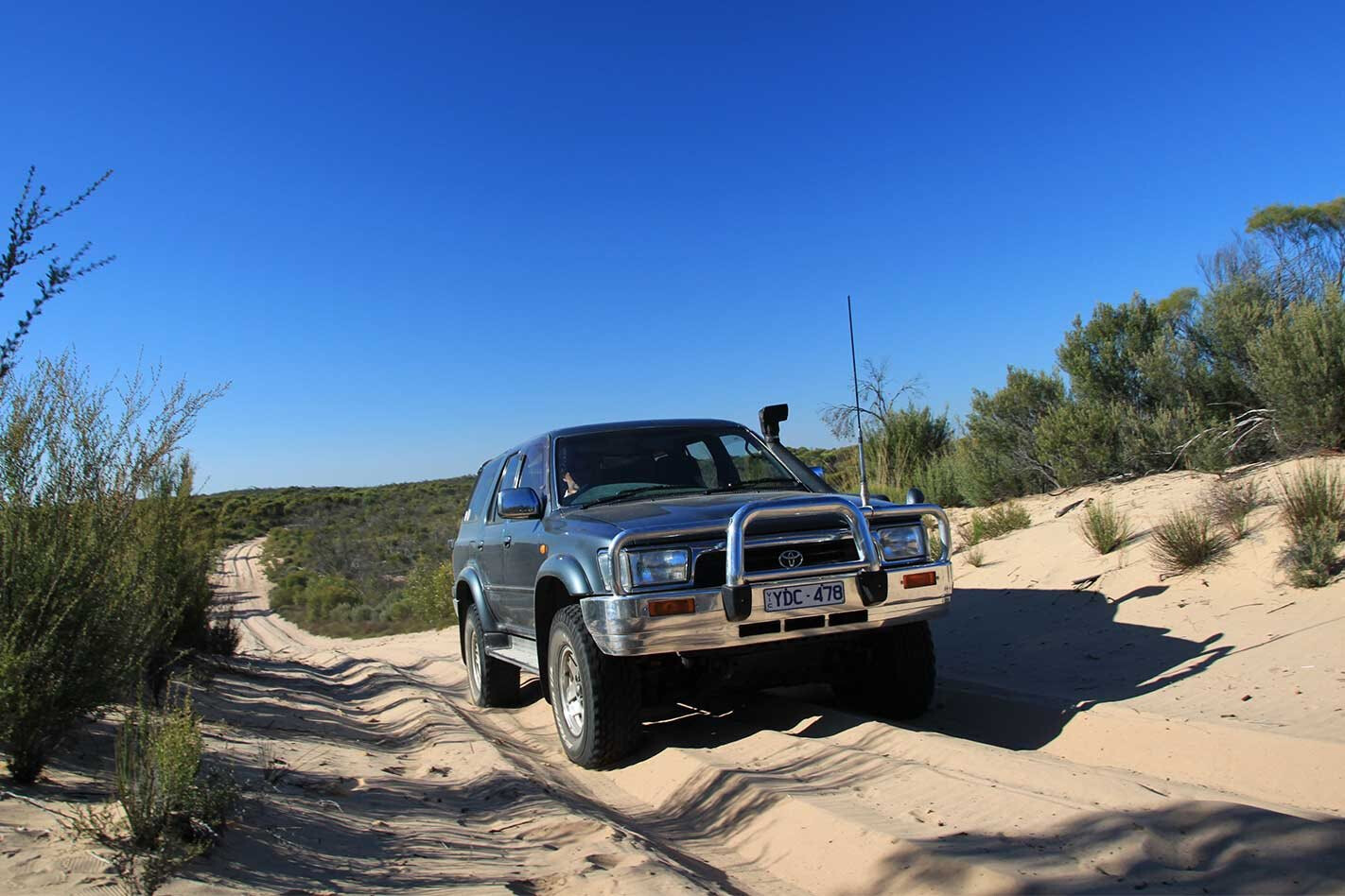
The next day we got up nice and early, ready for our 4X4 adventure to Snowdrift. The kids’ excitement grew as we passed the turn-off to the North-South Track and the sand became deeper. Chris pulled over to drop tyre pressures for a softer, safer ride. (Read ‘Safe in Sand’ below)
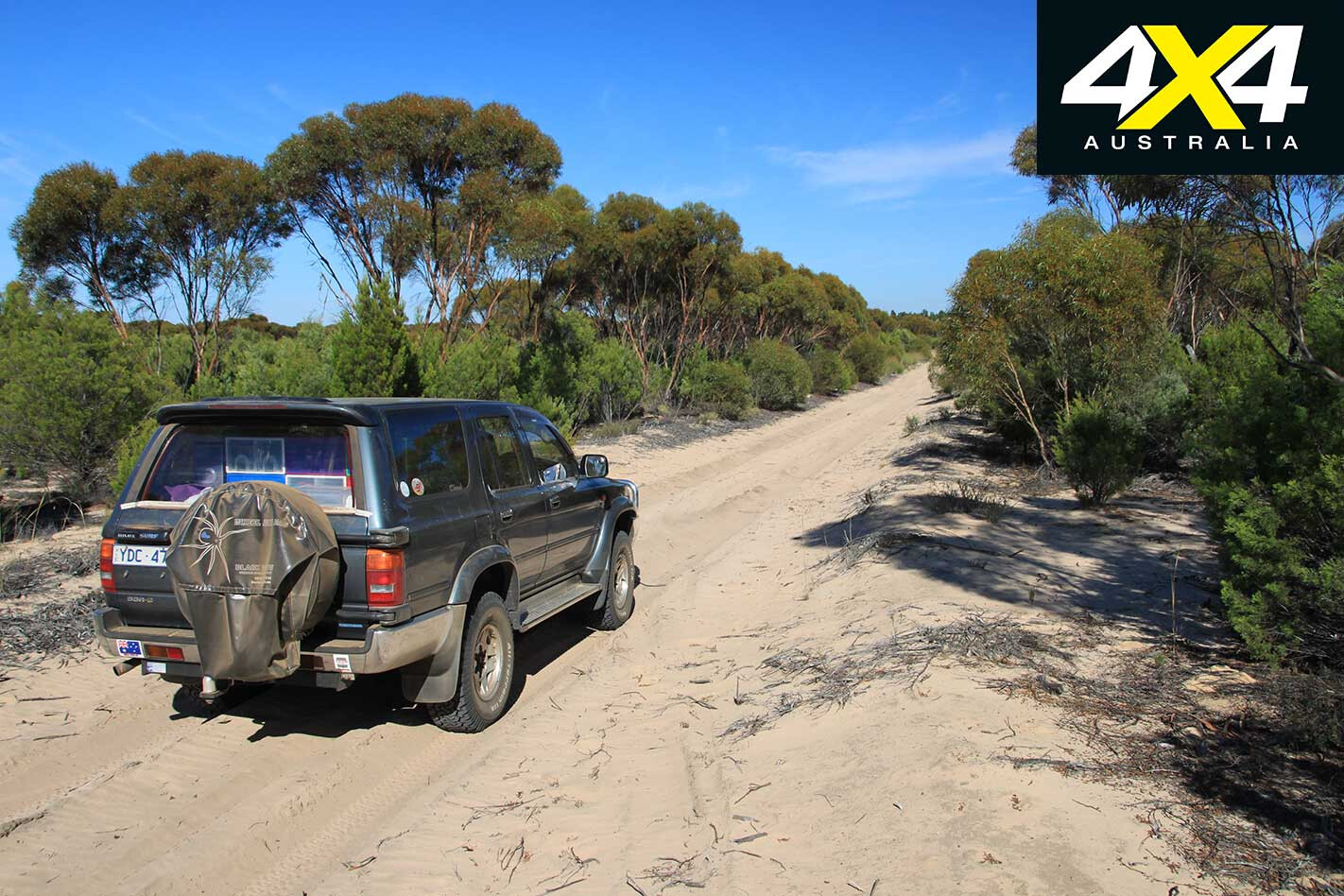
The track wound its way up and down the sand dunes, but nothing terribly steep, and a right turn took us onto the Eagle Track. We followed the park boundary for a couple of kays until we turned left and continued down the Moonah Track. Suddenly, the scenery changed dramatically and there was barely any vegetation – the sign ‘Callitris Clearing’ provided the obvious explanation.
The track came to a T-intersection where we turned right onto the Meridian Track. We passed Casuarina campground before hanging a left onto the Wool Track, which is a short-cut to the Patchewollock Road. From here you follow signs to Snowdrift.
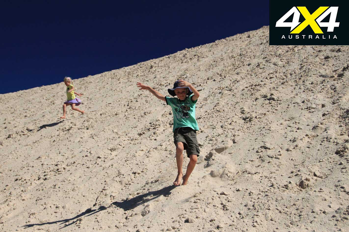
We were not disappointed when we parked the 4X4 at the bottom of the massive white sand dunes. The kids were off in a flash. For the next half-hour they ran up and down the dunes, sliding, rolling and falling. We were the only people there. The view from the top was impressive, with Wirrengren Plain stretching out before us.
This dry lakebed only fills up when Lake Hindmarsh and Lake Albacutya to the south overflow, which is a rare occurrence these days. You can drive through the lake bed to O’Sulllivans Lookout, but the kids were not interested in going. Finally, the kids had had enough – they were covered in sand from head to toe, but, boy, they’d had fun.
On the way back we stopped at Casuarina campground, where a shaded picnic table was the perfect place, because the temperature hovered in the low 30°Cs. Shannon went exploring and discovered a water melon.
Disappointed he couldn’t eat it straight away, the melon came back with us and was put out in the sun to ripen. He checked it every 15 minutes and complained when the melon still wasn’t ready to be eaten by dinner time. In the end he gave up, cut it open and left it for the bees to eat.
On our last day we headed south to check out Lake Albacutya and the start of the Milmed Rock Track.
Lake Albacutya last filled in 1975 and is part of a complex lake system. The lake floods only when the Wimmera River overflows from Lake Hindmarsh. The major flood of 2011 was enough to fill Lake Hindmarsh to two-thirds, but it wasn’t enough to overflow into Lake Albacutya.
It is quite an experience driving through a dry lakebed and you come to realise the massive importance of such a precious natural resource – water. You know you’ve reached the other side when you see the Western Beach camping area. This large campground has pit toilets, picnic tables and a toilet/shower block, which is maintained by the Friends of Albacutya. Amazingly, you can camp there for free.
We turned right and continued north along the Purra Track. In some sections the sand was very soft and quite deep, making this track unsuitable for the inexperienced four-wheel driver. Chris did his fair share of four-wheel driving during our two-year trip around Australia, so he wasn’t too fazed.
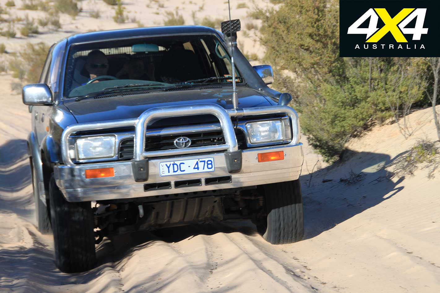
Instead of driving back the same way, we headed out onto the lake and cruised back to Western Beach. This time we continued south and turned right onto Kurnbrunin Road until we passed a sign to Milmed Rock.
We followed the park boundary for a couple of kays until the track turned north and we hit deep, soft sand. Chris heeded the ranger’s warning and turned the vehicle around. There was a fair possibility of getting stuck and it’s not a risk you want to take when you’re a solo vehicle, especially with three kids in the back.
That night we watched in awe as the sun slowly slid behind the horizon and a soft pink coloured the sky. Soon countless stars dotted the firmament and we sat there, in silence. There’s nothing like exploring this amazing country and camping in a remote location, away from the crowds and the busyness of life. So, when’s your next trip?
Safe in Sand
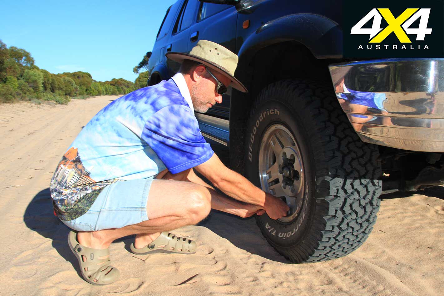
Here are a number of tips to keep you moving through the sand: – Take a shovel, compressor and tyre-pressure gauge – Fill up before the trip as fuel consumption will increase in sand – Lower tyre pressures (to around 15psi) – Remove weight from the vehicle – Don’t tow a trailer – Use steady momentum, but don’t drive aggressively – Use high-range for higher speed; low-range for tight track work – Keep your speed down – Accelerate gently – If the wheels spin, stop and immediately and back out. Don’t spin the wheels into a hole.
Travel Planner
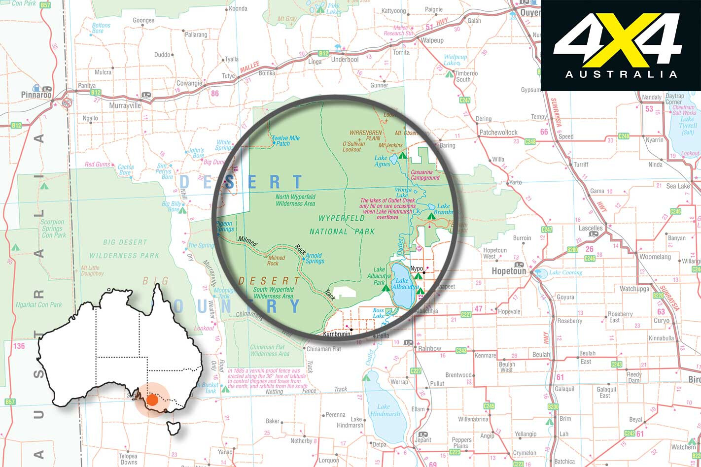
WHERE Wyperfeld NP is 450km north-west of Melbourne and is accessed via Rainbow from the Western Highway at Dimboola, via Underbool on the Mallee Highway, via Hopetoun on the Henty Highway or via Patchewollock off the Sunraysia Highway.
CAMPING Wonga campground in the southern end of the park is the main camping area and has a Park Information Centre. Facilities include toilets, picnic tables, rainwater tanks and bins. Casuarina campground in the northern area of the park is smaller and has toilets, picnic tables and a rainwater tank. Generators are not allowed. The best time to visit is spring, autumn or winter.
WHAT TO TAKE Be completely self-sufficient with food and water. Bring a bush shower. Recovery gear is mandatory.
SUPPLIES & FACILITIES When staying at Wonga campground in the south, the closest town with a supermarket and fuel is Rainbow (40km). If you choose to stay at Casuarina, Patchewollock is the nearest township (20km).
TRIP STANDARD The road to Wonga campground is sealed. Casuarina campground can be reached via sealed road from Patchewollock. The James Barrett Nature Drive in the south is accessible to 2WDs. All the other tracks in the park are 4X4 only, due to soft, deep sand.
CONTACTS Phone Parks Victoria on 13 19 63 for more information about the park and current road conditions or visit www.parkweb.vic.gov.au and download the park notes.
MAPS & GUIDES Wyperfeld National Park Visitor Guide and Mallee Drive (Parks Victoria).
PERMITS Camping fees are $14.50 per site per night. Self-registration is available.

