Snowy River National Park in Victoria’s East Gippsland boasts much more than some of the state’s best off-roading, and it’s just four hours from Melbourne.
Over the course of 18 days in October 2011 – in a collaborative effort between the New South Wales, Victorian and federal governments – the spill gates of Jindabyne dam opened to release the majority of its 84 billion-litre capacity into the Snowy River’s parched upper reaches. The monumental release was made in an attempt to restore life to the iconic river, which has been flowing at a wretched one-percent rate since the completion of the historic Snowy Hydro Scheme in 1974.
The Snowy River headwaters begin on the slopes of Mount Kosciuszko, merging near the NSW alpine town of Jindabyne, then meandering a further 352km before emptying into the Bass Strait in a wide, picturesque estuary at the Victorian coastal village of Marlo.
And that’s where our journey, modest in comparison, begins: sitting on the deck of the Marlo Hotel, sipping cold beers and watching the sun set over the tannin-stained brackish water; enormous pelicans adorning lights and pylons, accompanied by fisherman, their hushed concentration broken only by the occasional whoosh and plonk of a line cast into the river mouth.
Paul and I had driven the four hours from Melbourne airport that morning to the newly-built Bullant Brewery in Bruthen for a late lunch, followed by another hour to Marlo on the coast, where we would spend our first evening in East Gippsland.
DAY ONE: CAVES AND BUSHWALKS
We rose early the next morning to drive to the nearby Buchan Caves Reserve, where we toured the prettily named Fairy Cave.
Named for the sparkling limestone formations within, Fairy Cave was discovered by Frank Moon – on an official exploration mission to find tourist-attracting caves of the likes of Jenolan – in 1907. Frank must have been inspired, because he also named his daughter Fairy (who remained Fairy Moon until her marriage, which was held, incidentally, inside Fairy Cave). When Fairy had a son, she named him Cave.
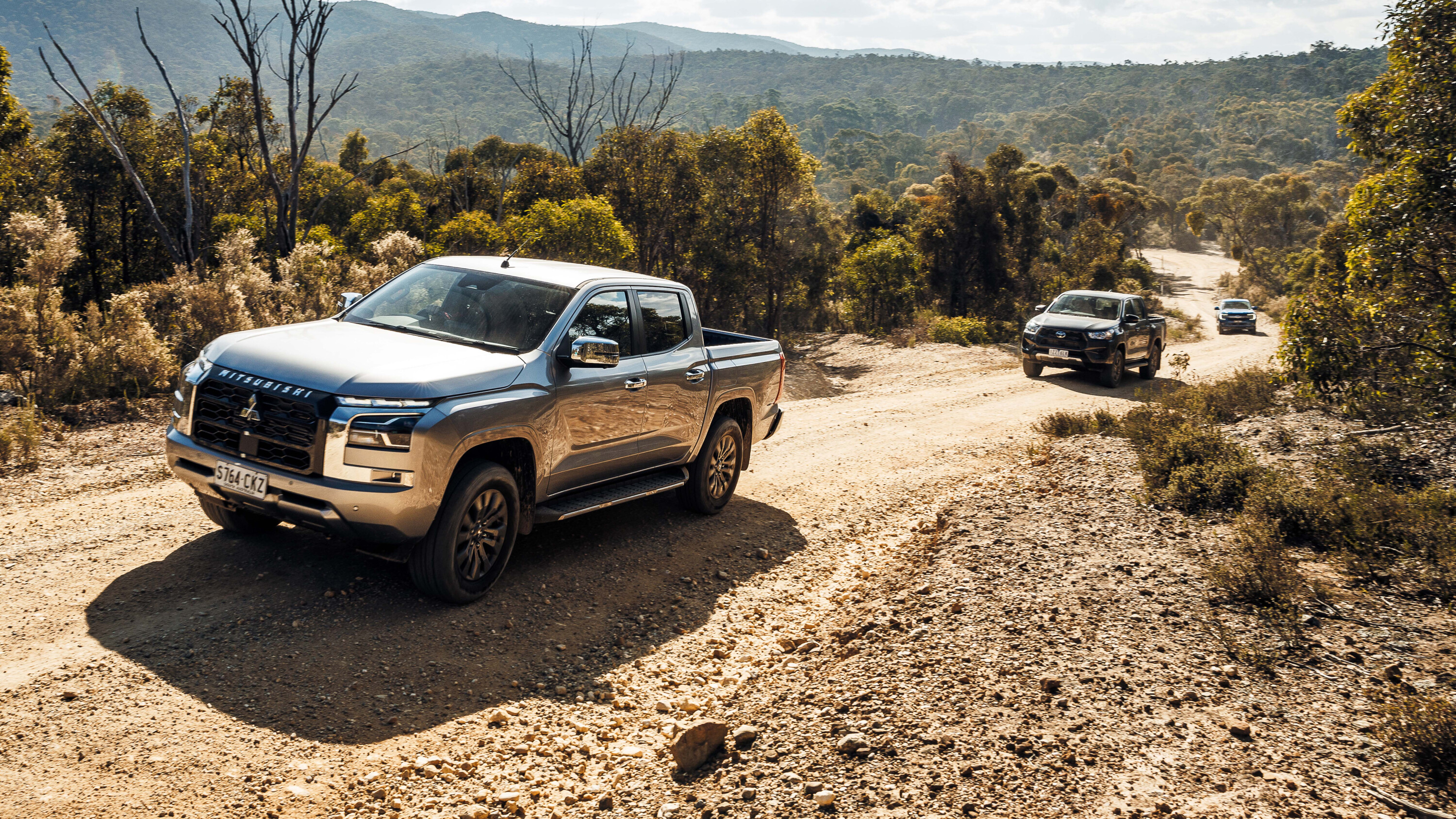
That afternoon, we continued on to Gelantipy via the unsealed Tulloch Ard Road – a scenic off-road route running parallel to the all-bitumen Gelantipy Road. Our busy weekend getaway had been arranged by tourism organisation Destination Gippsland (DGL), which was keen for a journo from 4X4 to experience one of their six newly marketed ‘iconic’ 4X4 tracks – this one, the Snowy River Drive.
The vehicle hired for us was a softroader Nissan X-Trail and, while it was great on-road and its better-than-a-car clearance and lockable centre-diff made the unsealed roads easily manageable, it meant we missed some of the seasonal 4X4 tracks which beckoned us along the way.
Not to worry, though. DGL had also arranged for a Parks Victoria ranger to chaperone us across the rougher second half of the Snowy River Trail in his official 4X4 – an experience we happily anticipated.
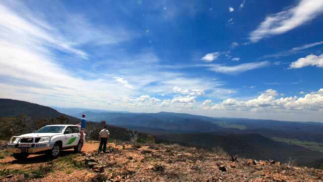
For those not equipped or game (don’t scoff) to take on the more difficult tracks branching off Tulloch Ard Road, there is a 3.2km (return) walking track at the Gelantipy end, which leads to a lookout over the Snowy River National Park, providing an expansive view of the harsh, mountainous landscape the river has carved on its ancient route towards the sea.
Emerging from the narrow, tree-lined Tulloch Ard Road in the late afternoon, we pulled onto the bitumen and soon arrived at our accommodation for the evening at Kooranda Park, just outside Gelantipy.
Equipped with a rockclimbing wall, tennis courts, a concrete swimming pool and high ropes course, Kooranda is popular with school camps and has that familiar unadorned feel – an ideal budget accommodation option close to some of the region’s best four-wheel driving (for those choosing not to camp).
With the recent environmental flows into the Snowy, business was also booming for Kooranda Park’s whitewater rafting tours – for the first time in several years.
DAY TWO: HIT THE TRACKS
We awoke the next morning eager to meet with ‘our’ Parks Victoria ranger, David Butterworth, who would collect us in his Prado while his colleague drove our X-Trail back to Orbost where it would wait for us to finish our day exploring the Snowy.
David at the wheel, we snaked along the tight and narrow unsealed road (which is well maintained, but unsuitable for towing a caravan), eventually arriving at the heritage-listed, 255 metre-long McKillops Bridge. Leaning over the impressive structure, it’s difficult to imagine water lapping at its timber deck during the region’s infamous 1971 storms. Now, even with an additional 84 gigalitres, the Snowy flowed at a gentle pace, calm enough to swim in – and not as cold as the name suggests.
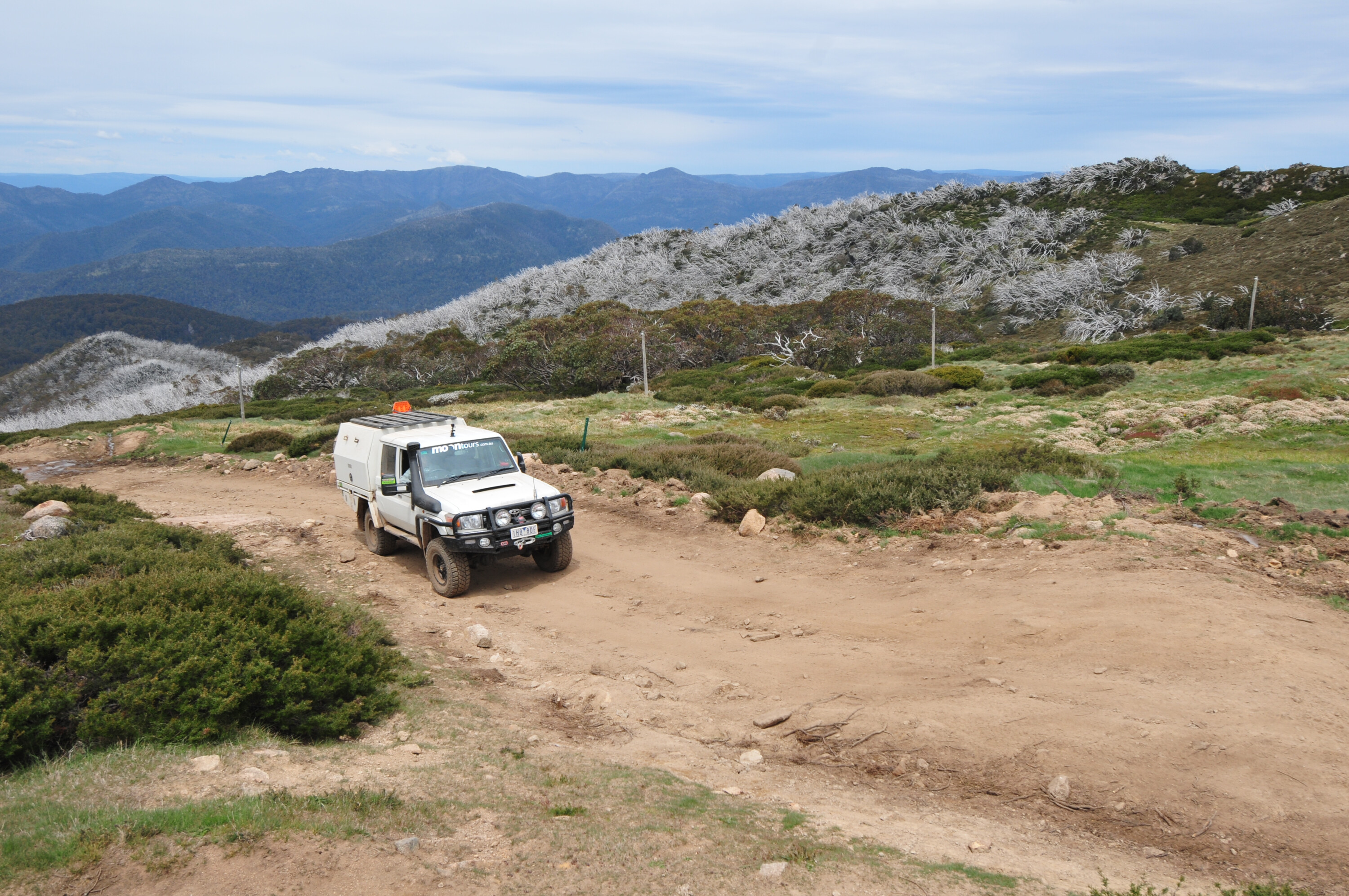
From this point, David took us off the main Snowy River Drive and onto the dry-weather only Deddick Track, where steep roll-overs and slippery, rocky inclines necessitate a low-range equipped 4X4. David informed us that we were taking the track in its easiest direction (starting at McKillops Bridge), descending rather than climbing most of the steeper sections. He also warned how quickly the conditions could change in wet weather – always check the forecast before off-roading in the area.
We eventually crawled our way to the top of Mount Tower, disturbing four majestic wedge-tailed eagles off the side of the track, which we watched soar away into the distance before settling in for lunch. We looked out over the expanse of surrounding national park while David filled us in on fire management in the area since the 2003 wildfires burnt around 1.12 million hectares. Dead, white alpine ash trees line sections of the tracks as a ghostly reminder.
After Deddick, we connected onto Bowen, Bowen Link and Monkey Top tracks – the latter home to the aptly named Big Tree, and a good rest stop – before joining the AWD-friendly Yalma Road, which would lead us back to civilisation in Orbost. Time constraints meant we passed the trailhead to a 40-minute return hike to Raymond Creek Falls (and its freshwater swimming hole), as well as several other side tracks – all of which combine to make a great reason to return. Next time we’d probably camp, and spend longer soaking up the mysterious and ancient history of the Snowy River, which includes intriguing evidence of aboriginal inhabitancy, such as the impression of a canoe cut out of a long-dead tree that David pointed out to us.
It had been a very long weekend and we were exhausted, yet felt we’d barely touched the surface of all this spectacular region has to offer.
Our final night’s accommodation was at a bed and breakfast in Newmerella – the Snowy Mountain Lodge – to which we arrived just in time for the cumulonimbi to gather and erupt in a powerful spring storm; the first of the year, our hosts Glen and Sue informed us.
We finished our home-cooked meal and spent our last night in Gippsland flicking through a book of Banjo Patterson poetry and watching lightning illuminate the low-hanging clouds in the distance.
TRAVEL PLANNER
GETTING THERE
Allow four hours or so to get to East Gippsland from Melbourne (360km), travelling the M1 and then the A1.
WHEN TO GO
November to May (most Vic High Country tracks are closed during winter).
WHERE TO STAY
There are several accommodation options throughout East Gippsland, and in the vicinity of Snowy River NP. Camping grounds at McKillops Bridge, Waratah Flat and Balley Hooley have pit toilets, picnic facilities and fire pits.
CONTACT
Visit parkweb.vic.gov.au or call 131 963


